


Col d'Arrondaz hiking loop - Hameau du Jeu
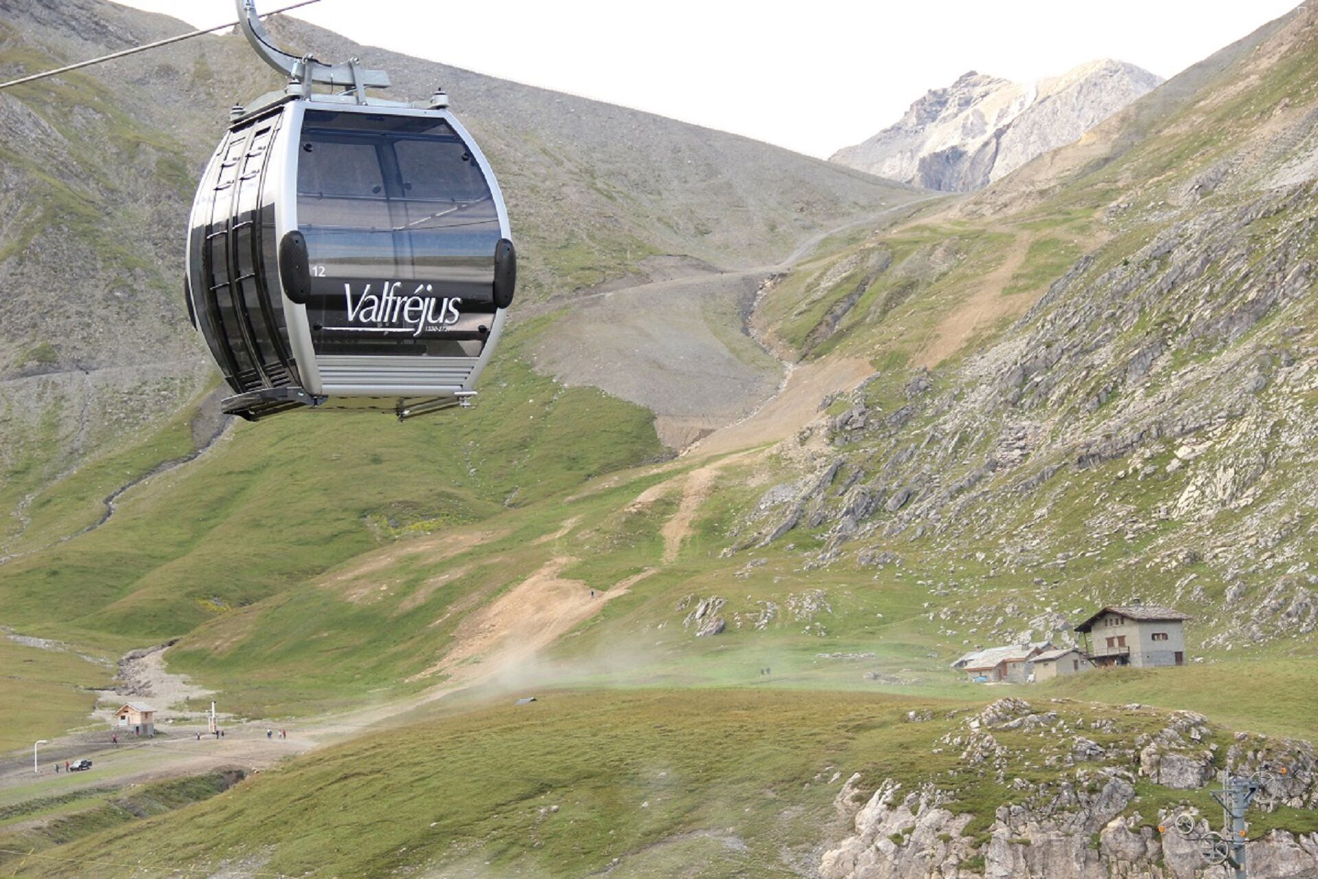
The moment you come out of the Arrondaz cable car, you feel the call of the peaks. A little exercise on foot to explore this rocky world takes you far from the chairlifts. Marmots, vultures, and black...
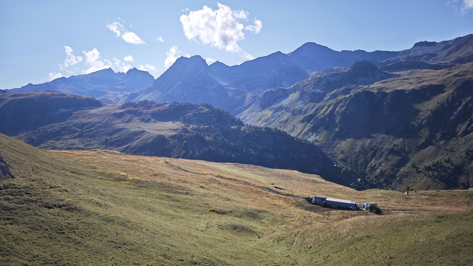
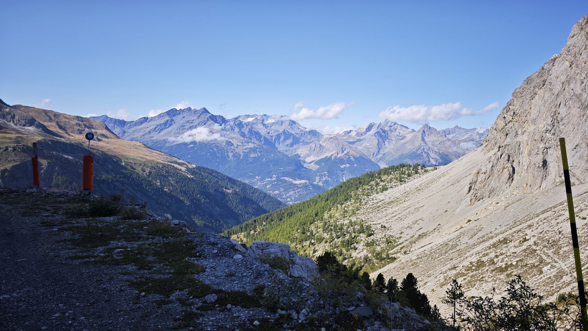
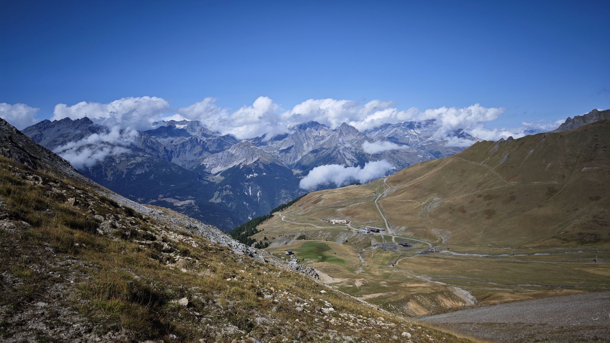
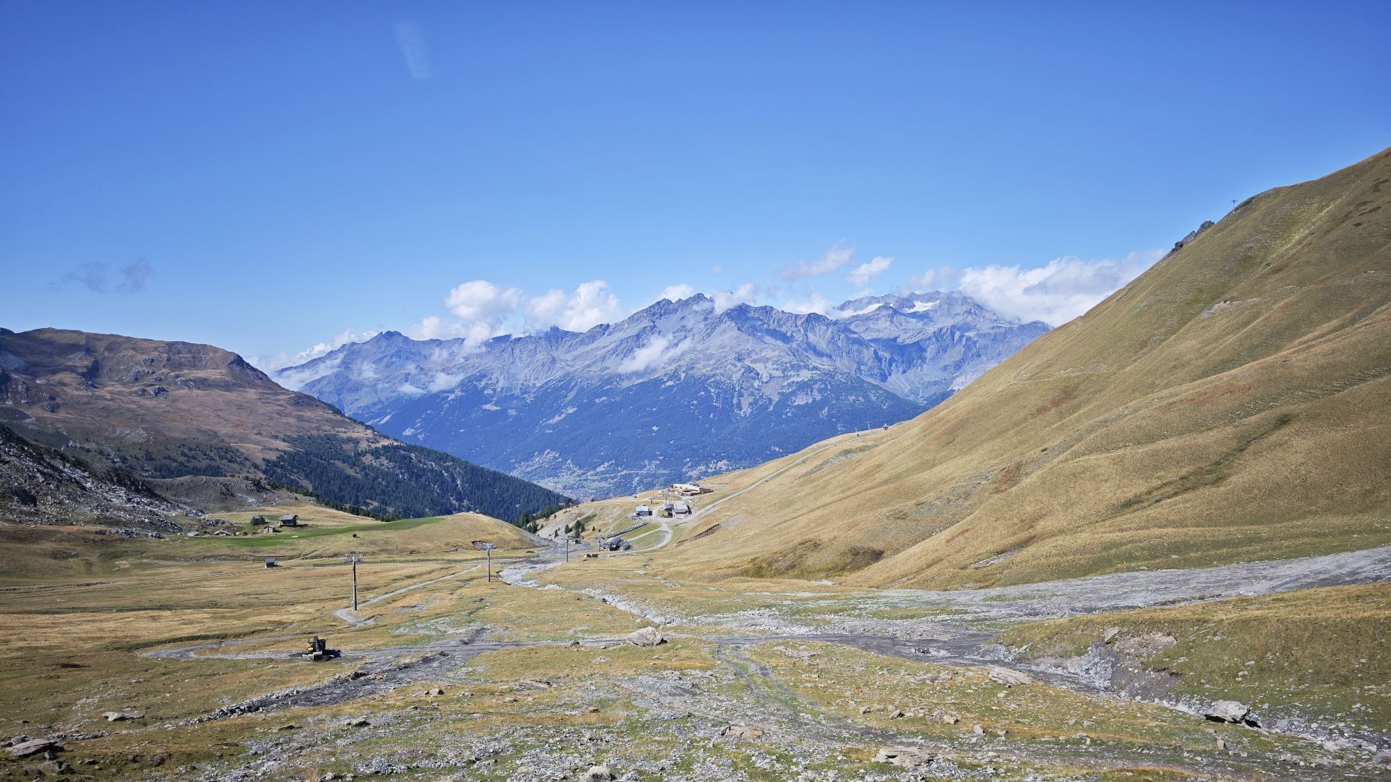
The moment you come out of the Arrondaz cable car, you feel the call of the peaks. A little exercise on foot to explore this rocky world takes you far from the chairlifts. Marmots, vultures, and black grouse sometimes join in the game, scrambling down their favourite scree slopes to shyly accompany you. If it weren't for the little Col chairlift, you'd think you were a million miles from human activity. You're sharing the mountainside with herds of alpine animals, gracefully making their way across the slopes as you watch, fascinated. When you stop to cool off at Pas du Roc, you'll catch a glimpse of the fortress perched on the cliffside. Here, the Maginot line left an indelible mark during World War II. As you head back down, your mind is full of unforgettable images, already treasured memories of this little-known nature reserve. Look, there's Le Lavoir cheese dairy. Such a welcoming place... Fancy getting to know it better? Mark it down for your next trip (volume 1).

To guide you in the field, consult the "step-by-step" directional diagram provided in pdf.
Tak
As hazards may occur at any time on the routes, the GPX tracks provided are not contractual. They are given for information only. Riders use them at their own risk, depending on their level of technological proficiency and their understanding of the terrain.
Popularne wycieczki w okolicy
-
4,5
BARDONECCHIA Pian del Colle - Valle Stretta
średniRakieta do chodzenia po śniegu 5,02 km -
5,0
BARDONECCHIA Colle Sommeiller
średniMountainbike 25,4 km -
5,0
BARDONECCHIA Forte Jafferau Loop
ciężkiMountainbike 36,8 km -
5,0
BARDONECCHIA Green Lake
światłoWędrówka 2,14 km -
4,5
BARDONECCHIA Walter Bonatti Path - Grange della Rho
średniWędrówka 6,06 km -
5,0
BARDONECCHIA Decauville
średniWędrówka 7,29 km -
5,0
BARDONECCHIA Col des Acles - Passo della Mulattiera
średniWędrówka 6,23 km -
BARDONECCHIA Lago Verde
światłoMountainbike 10,7 km -
BARDONECCHIA Monte Jafferau
ciężkiWędrówka 11,6 km -
GR® 57 Tour de la Haute-Clarée
średniWędrówka 87,3 km
Wędrówki i tropienie


Nie przegap ofert i inspiracji na następne wakacje
Twój adres e-mail została dodana do listy mailingowej.