
Tour pédestre de Méan Martin en 5 jours - Stage 1 - From Bonneval sur Arc to Refuge de Vallonbrun
ciężki
Pobierz tę trasę na swój telefon komórkowy
Tour pédestre de Méan Martin en 5 jours - Stage 1 - From Bonneval sur Arc to Refuge de Vallonbrun
ciężki
Wędrówka
15,47
km
Zeskanuj kod QR i rozpocznij nawigację w aplikacji bergfex.


Wędrówki i tropienie




Tour pédestre de Méan Martin en 5 jours - Stage 1 - From Bonneval sur Arc to Refuge de Vallonbrun
ciężki
Odległość
15,5
km
Czas trwania
05:00
h
Ascent
599
hm
Poziom morza
1 676 -
2 289
m

Nawiguj po trasie w aplikacji
Zainstaluj aplikację za darmo i śledź trasę dzięki nawigacji GPS i funkcji śledzenia.
Skorzystaj już teraz z funkcji „ bergfex ” w aplikacji
Zeskanuj kod QR za pomocą aparatu
Po zainstalowaniu aplikacji treść otworzy się od razu. Jeśli jeszcze nie masz tej aplikacji, zostaniesz przekierowany do strony, z której możesz ją bezpłatnie pobrać.
Ścieżka do pobrania
Tour pédestre de Méan Martin en 5 jours - Stage 1 - From Bonneval sur Arc to Refuge de Vallonbrun
ciężki
Wędrówka
15,47
km
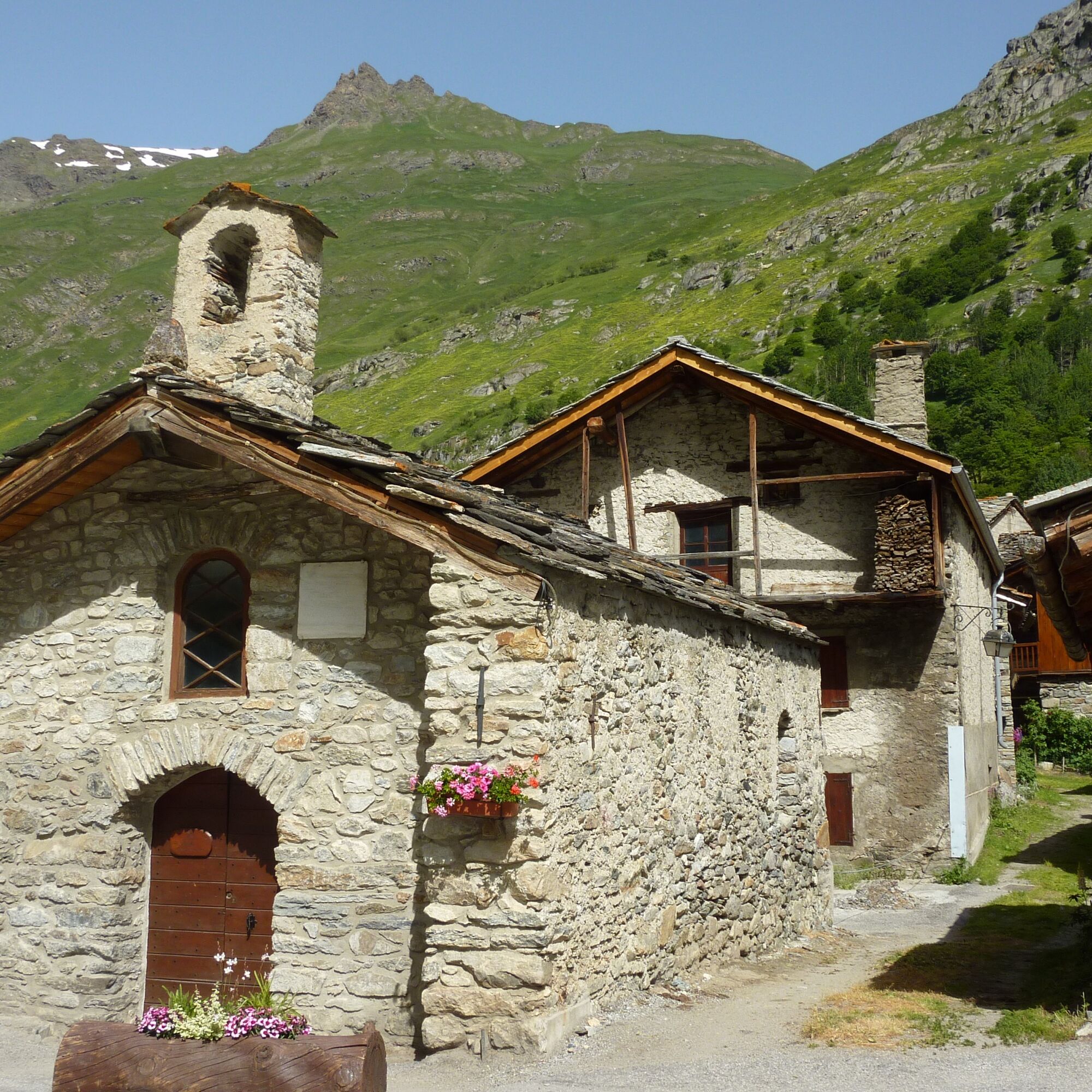
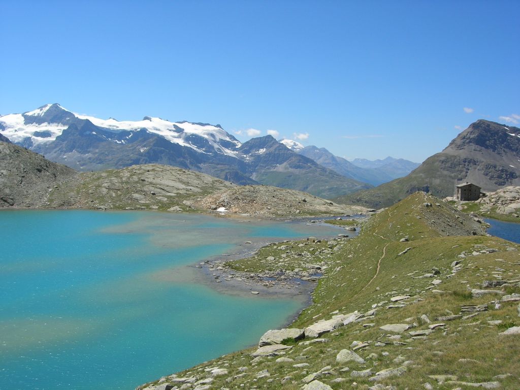
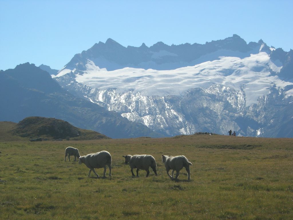
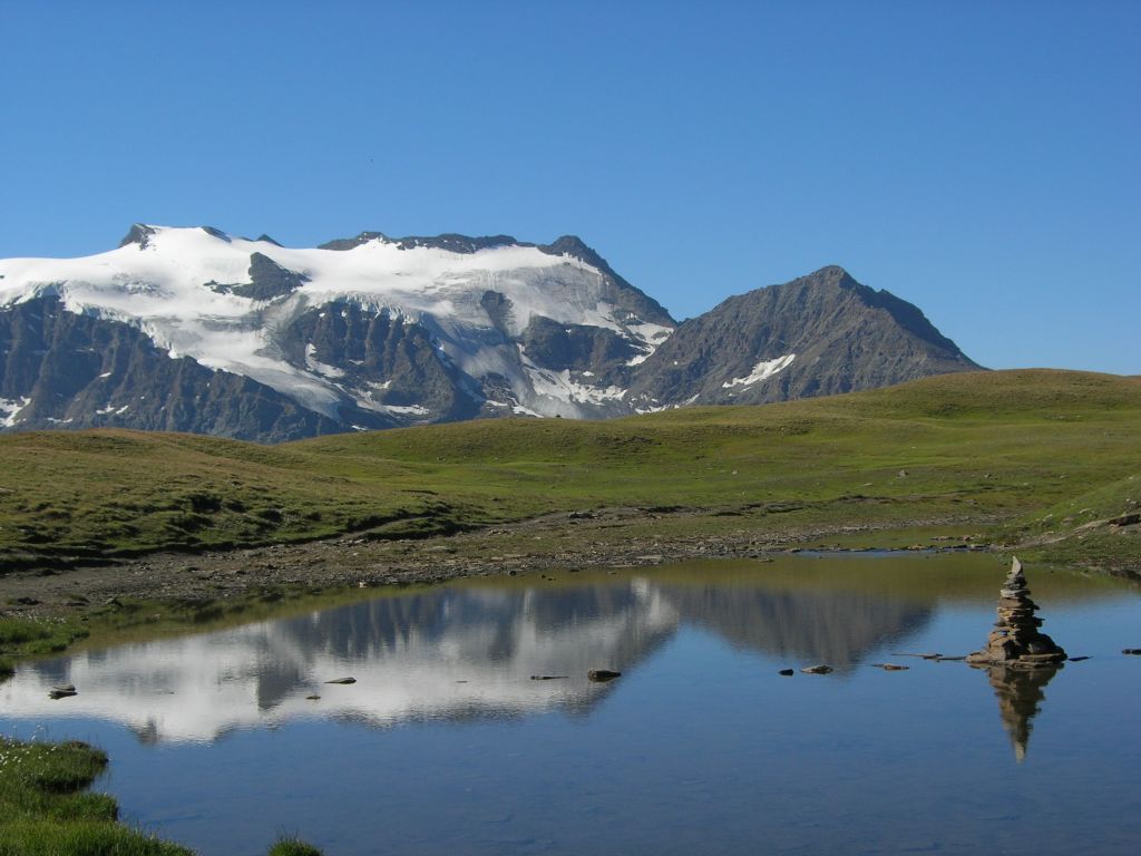
In contact with glaciers, walk in the heart of wide open spaces.
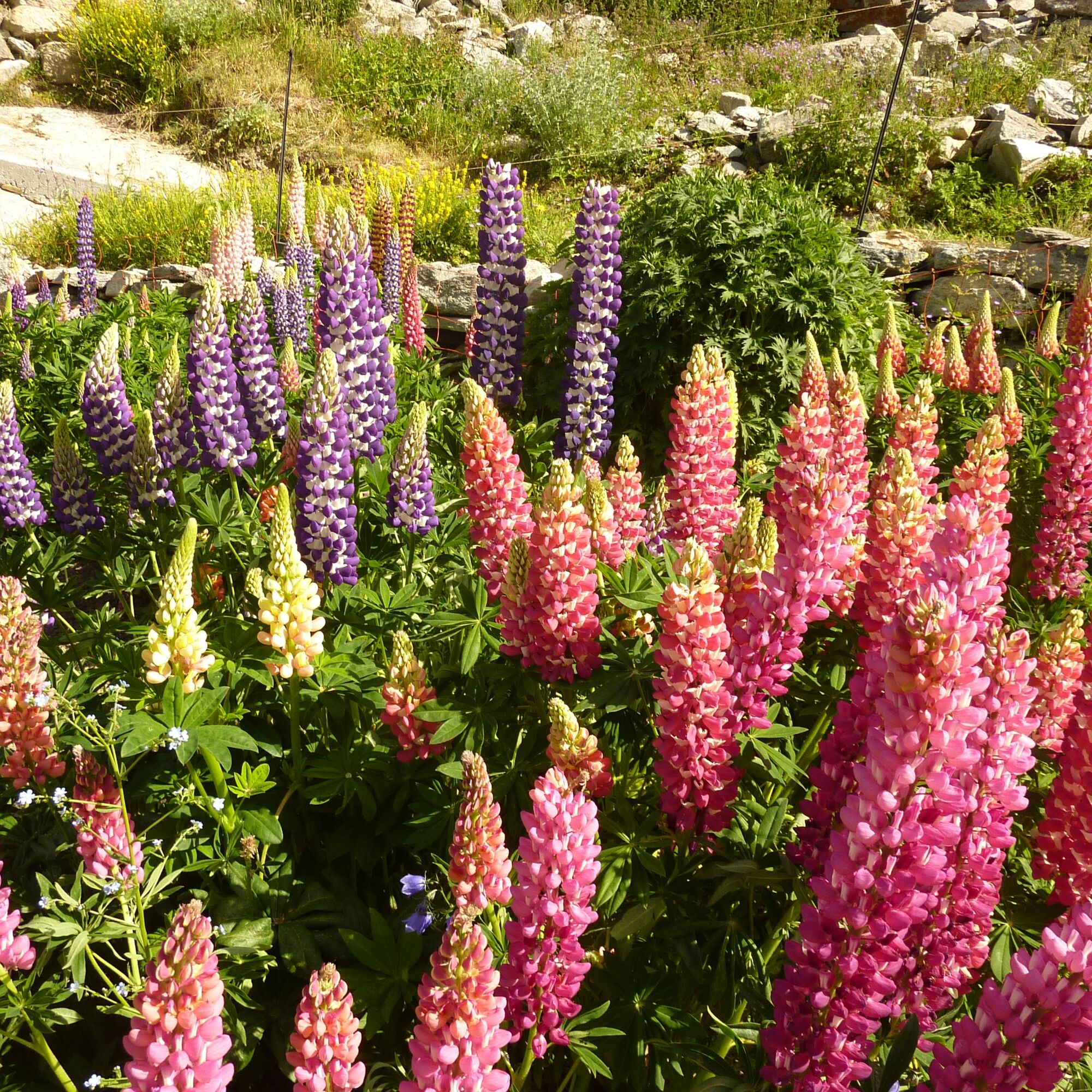
On this tour, you'll discover an extraordinary diversity
diversity of landscapes, and the flora and fauna of the Vanoise
national park.
This...
Opis
In contact with glaciers, walk in the heart of wide open spaces.
On this tour, you'll discover an extraordinary diversity
diversity of landscapes, and the flora and fauna of the Vanoise
national park.
This itinerary will be appreciated by medium-level hikers, for its long but moderately uneven stages.
Everyone will be delighted by the warm welcome and comfort of the refuges.
On this tour, you'll discover an extraordinary diversity
diversity of landscapes, and the flora and fauna of the Vanoise
national park.
This itinerary will be appreciated by medium-level hikers, for its long but moderately uneven stages.
Everyone will be delighted by the warm welcome and comfort of the refuges.
Trasa
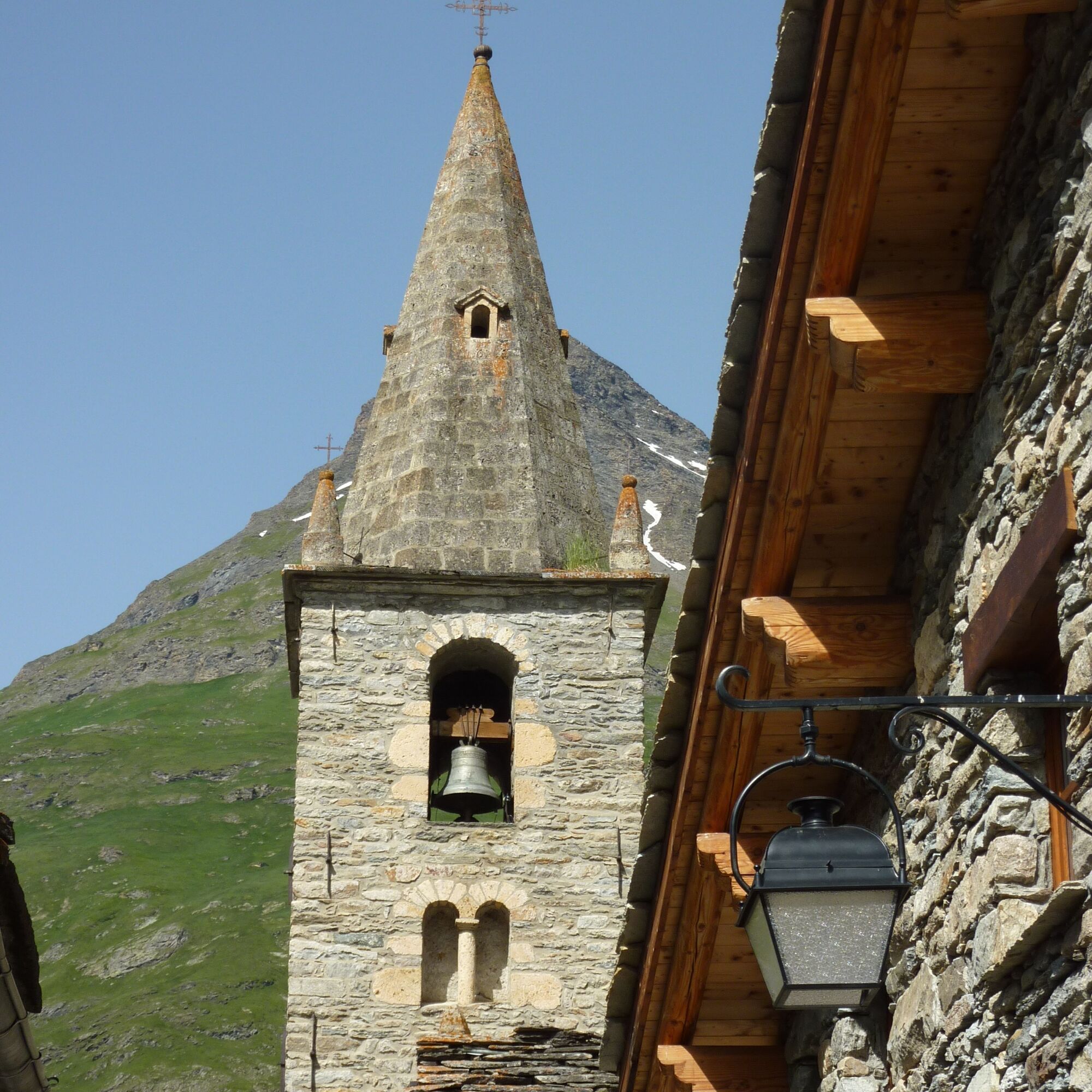
Église Notre-Dame-de-l'Assomption
(1 787 m)
Miejsce kultu
0,1 km
Chapelle Saint-Bernard
(1 735 m)
Miejsce kultu
5,2 km
Le Villaron
(1 740 m)
Rozliczenie
5,4 km
Bessans
(1 710 m)
Wioska
7,8 km
Le Collet
(1 754 m)
Rozliczenie
12,1 km
Chapelle Marie-Madeleine
(1 753 m)
Miejsce kultu
12,3 km
Refuge de Vallonbrun
(2 271 m)
Schronienie
15,4 km
Trasa
Tour pédestre de Méan Martin en 5 jours - Stage 1 - From Bonneval sur Arc to Refuge de Vallonbrun
ciężki
Wędrówka
15,47
km
Bonneval-sur-Arc
(1 789 m)
Wioska
0,0 km
Église Notre-Dame-de-l'Assomption
(1 787 m)
Miejsce kultu
0,1 km
Rocher du Château
(1 775 m)
Korytarz/teren
3,5 km
Chapelle Saint-Bernard
(1 735 m)
Miejsce kultu
5,2 km
Le Villaron
(1 740 m)
Rozliczenie
5,4 km
Bessans
(1 710 m)
Wioska
7,8 km
Le Collet
(1 754 m)
Rozliczenie
12,1 km
Chapelle Marie-Madeleine
(1 753 m)
Miejsce kultu
12,3 km
Refuge de Vallonbrun
(2 271 m)
Schronienie
15,4 km
Autor
Dostarczone przez Haute Maurienne Vanoise


Informacje o trasie
Trasa
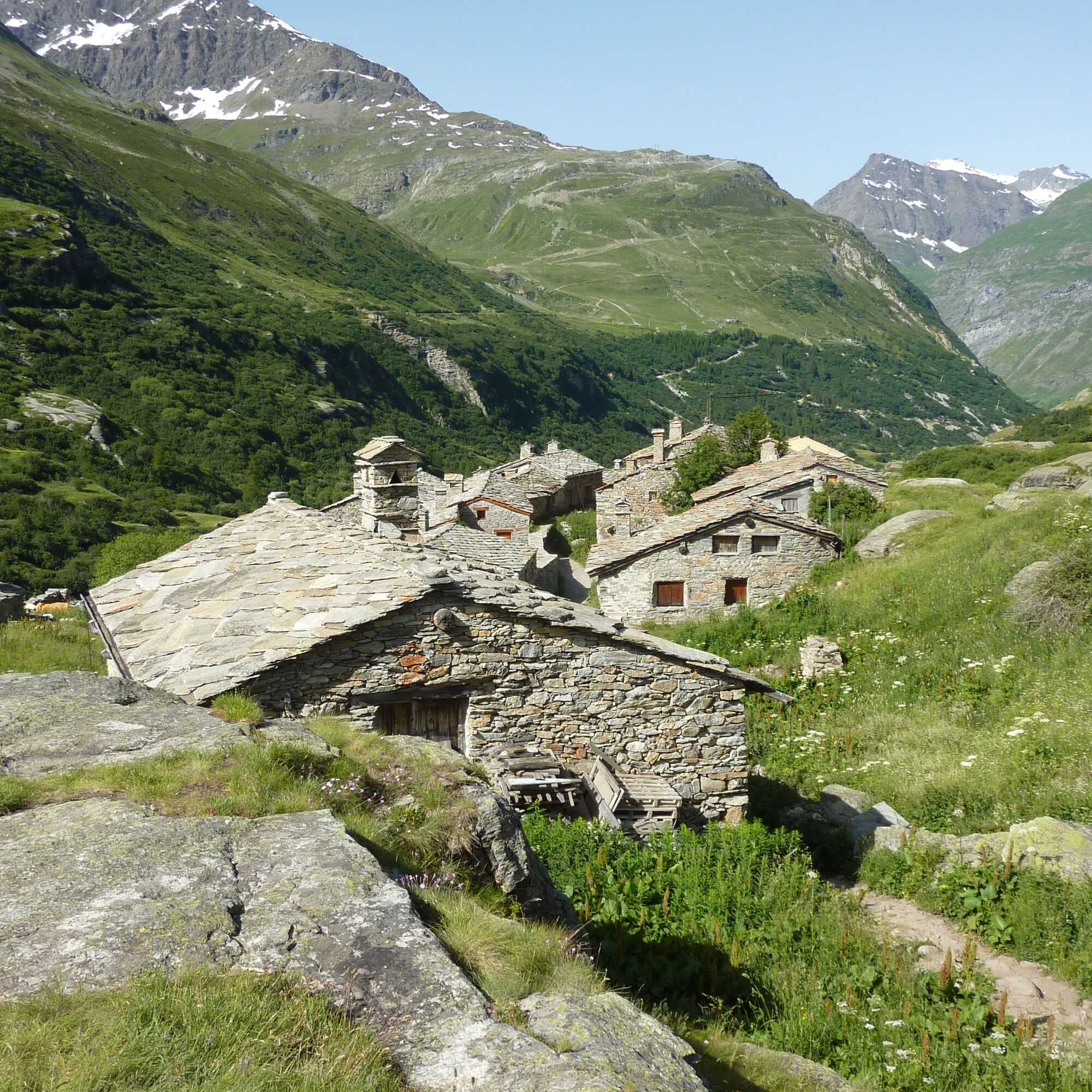
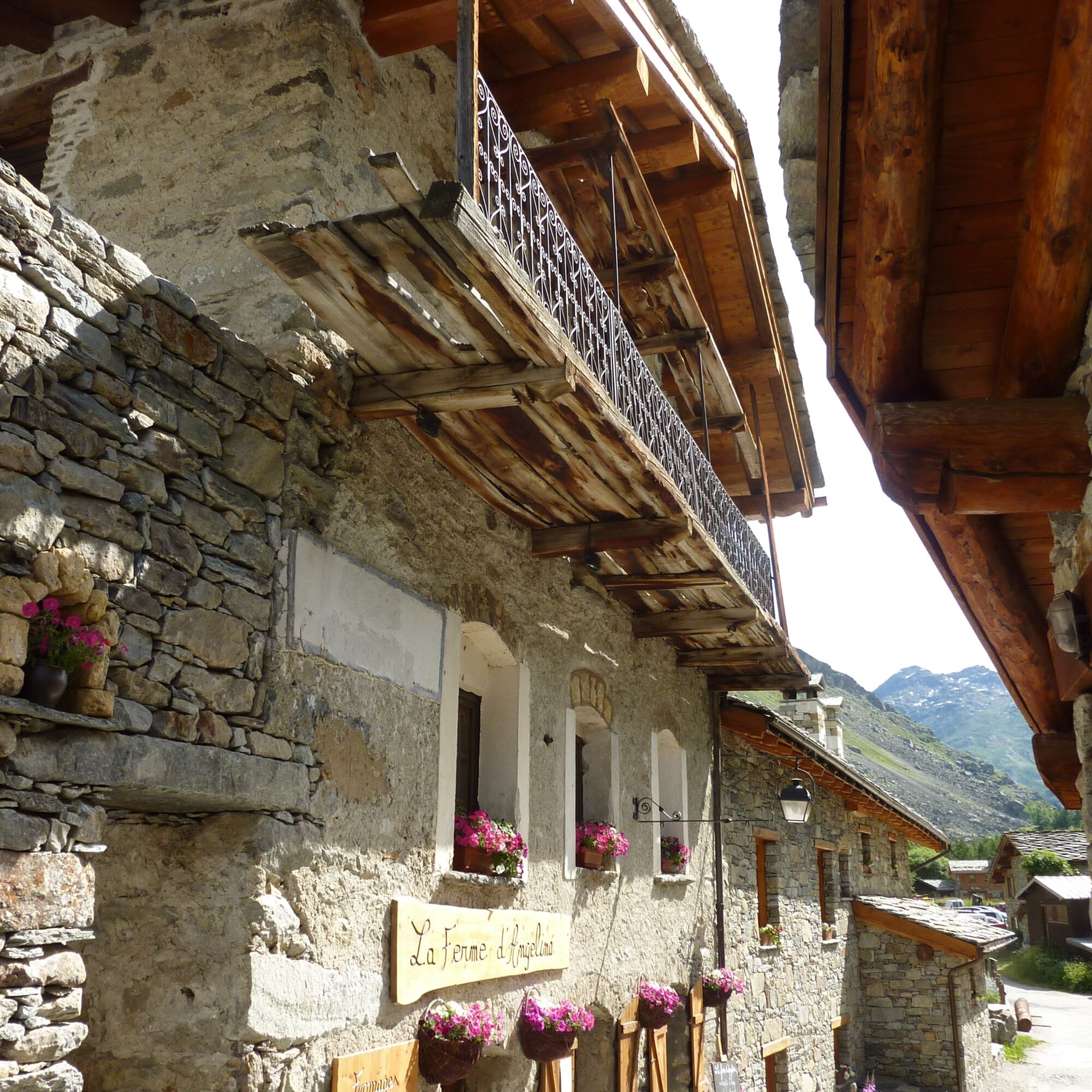
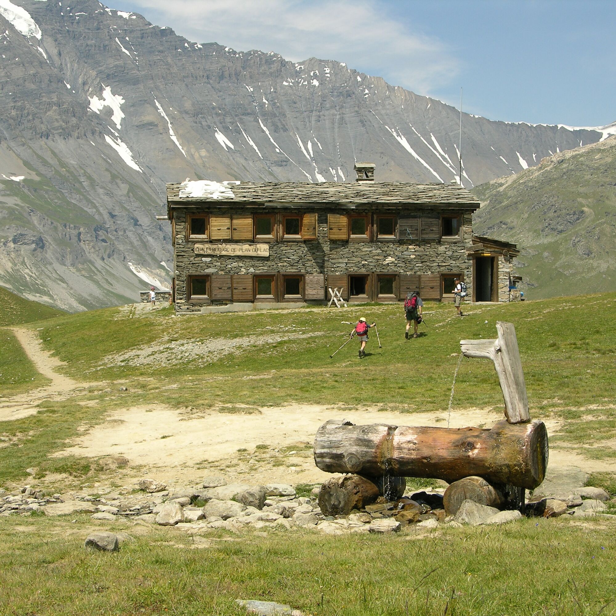
1/ Via the Chemin du Petit Bonheur (GR5), the trail descends the valley alongside the Arc. Pass through Villaron, Bessans and Collet de la Madelaine, before heading back up to the Vallonbrun refuge. This first stage, mostly on the valley floor, is an excellent warm-up for the rest of the route.
Dodatkowe informacje i wskazówki
Dodatkowe informacje
Advance booking is essential for your night in the refuge. Stay on the trails by following the markings, carry your waste with you.
Nie ma jeszcze recenzji
Kamery internetowe z trasy

Wszystkie kamery internetowe na mapie
Zainstaluj aplikację za darmo i porównaj obrazy na żywo z kilku miejsc, zanim wyruszysz w drogę.
Skorzystaj już teraz z funkcji „ bergfex ” w aplikacji
Zeskanuj kod QR za pomocą aparatu
Po zainstalowaniu aplikacji treść otworzy się od razu. Jeśli jeszcze nie masz tej aplikacji, zostaniesz przekierowany do strony, z której możesz ją bezpłatnie pobrać.
Popularne wycieczki w okolicy
-
4,5
Rocciamelone partedjo dalla Riposa. Mompantero, Piemont/Italien
średniWędrówka 10,6 km -
5,0
The Grand Méan lake via the Evettes circus
ciężkiWędrówka 13,6 km -
4,5
Hiking at Lake Clair
ciężkiWędrówka 6,99 km -
little 'Haute-Maurienne Vanoise' circuit
ciężkiDroga rowerowa 32,0 km -
5,0
BALME Arnas Ring - Pian della Mussa
ciężkiWędrówka 13,6 km -
5,0
Alta Via delle Valli di Lanzo | Stage 4 Rifugio Citt di Ciri - Rifugio Cibrario
ciężkiWędrówka 12,0 km -
The White Lake
światłoWędrówka 4,42 km -
USSEGLIO Lake behind the Tower and of the Rossa
ciężkiWędrówka 17,1 km -
Col de l'Iseran from Modane
ciężkiDroga rowerowa 59,5 km -
Col du Mont Cenis from Modane
ciężkiDroga rowerowa 34,8 km
Wędrówki i tropienie

Ponad 550.000 propozycji wycieczek, szczegółowe mapy i intuicyjny planer tras sprawiają, że aplikacja jest niezbędna dla wszystkich entuzjastów przyrody.

Nie przegap ofert i inspiracji na następne wakacje
Zapisz się do newslettera
Błąd
Wystąpił błąd. Spróbuj ponownie.
Dziękujemy za rejestrację
Twój adres e-mail została dodana do listy mailingowej.
Wycieczki po całej Europie
Austria
Szwajcaria
Niemcy
Włochy
Słowenię
Francja
Holandia
Belgia
Polska
Liechtenstein
Czechy
Słowacja
Hiszpania
Chorwacja
Bośnia i Hercegowina
Luksemburg
Andorra
Portugalia
Islandia
Wielka Brytania
Irlandia
Grecja
Albania
Macedonia Północna
Malta
Norwegia
Czarnogóra
Mołdawia
Kosowo
Węgry
San Marino
Rumunia
Estonia
Łotwa
Białoruś
Cypr
Litwa
Serbia
Bułgaria
Monako
Dania
Szwecja
Finlandia





