Trail de Val Cenis Bramans aux forts
światło
Pobierz tę trasę na swój telefon komórkowy
Trail de Val Cenis Bramans aux forts
światło
Trailrunning
10,75
km
Zeskanuj kod QR i rozpocznij nawigację w aplikacji bergfex.

Wędrówki i tropienie


Trail de Val Cenis Bramans aux forts
światło
Odległość
10,75
km
Czas trwania
01:40
h
Ascent
338
hm
Poziom morza
1 150 -
1 319
m
Ścieżka do pobrania
Trail de Val Cenis Bramans aux forts
światło
Trailrunning
10,75
km
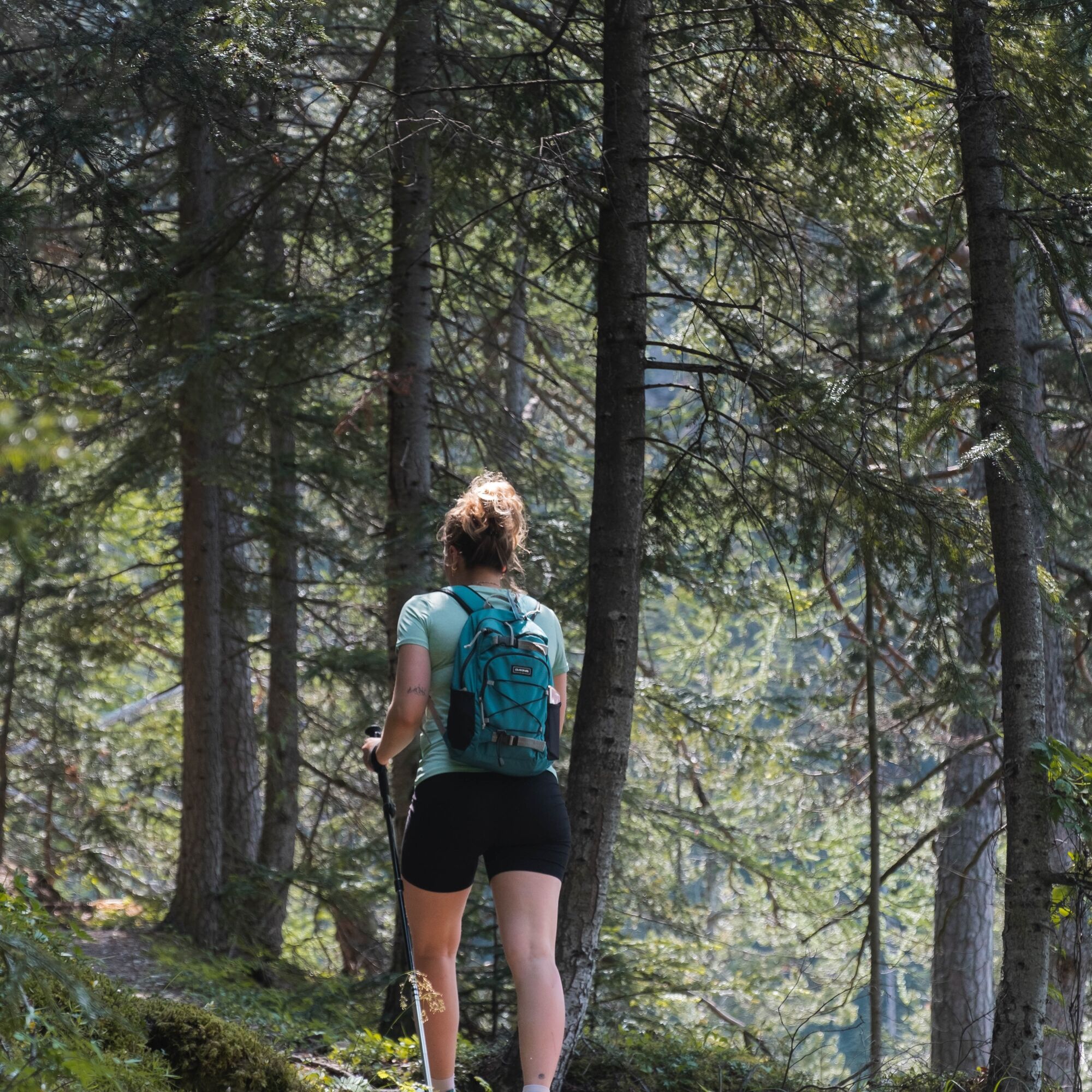
Set off at a brisk pace on the Chemin du Petit Bonheur, a trail cherished by
locals, and take in the invigorating scents of spruce and fir trees. Under the
watchful eye of the green woodpecker, you'll...
Opis
Set off at a brisk pace on the Chemin du Petit Bonheur, a trail cherished by
locals, and take in the invigorating scents of spruce and fir trees. Under the
watchful eye of the green woodpecker, you'll only hear the sound of its beak
on the weathered tree trunks.
Standing proud on its unconquerable promontory, the giant of the valley offers
you a journey into the military history of Haute Maurienne Vanoise, that takes
just a few minutes. A true emblem of the valley, Redoute Marie-Thérèse has
become the iconic representative of the five Esseillon forts. Awe-inspiring?
To say the least! Their construction began in 1817 to protect the kingdom
of Piedmont-Sardinia from possible French attacks. Massive, monumental,
they form a row at the narrowest point of the valley.
And what about Pont du Diable (Devil's Bridge) as sensational as its height
above the gorges is breathtaking? But fear not, even the most faint-hearted
have managed to cross it, so you can do it too!
Trasa
Le Bossate
(1 250 m)
Rozliczenie
0,0 km
Les Grands Prés
(1 238 m)
Rozliczenie
0,0 km
Le Mollard
(1 260 m)
Rozliczenie
0,2 km
Grotte des 14 Chapeaux
(1 285 m)
Wejście do jaskini
1,1 km
Le Bossate
(1 250 m)
Rozliczenie
10,7 km
Le Mollard
(1 260 m)
Rozliczenie
10,7 km
Trasa
Trail de Val Cenis Bramans aux forts
światło
Trailrunning
10,75
km
Le Bossate
(1 250 m)
Rozliczenie
0,0 km
Les Grands Prés
(1 238 m)
Rozliczenie
0,0 km
Bramans
(1 251 m)
Wioska
0,0 km
Les Glaciers
(1 250 m)
Restauracja
0,0 km
Le Mollard
(1 260 m)
Rozliczenie
0,2 km
Mollard chez Nous
(1 312 m)
Korytarz/teren
0,6 km
Grotte des 14 Chapeaux
(1 285 m)
Wejście do jaskini
1,1 km
Cascade du Nant - Avrieux
(1 133 m)
Wodospad
4,4 km
Pont du Diable
(1 118 m)
Punkt widzenia
4,8 km
L'Ile
(1 211 m)
Korytarz/teren
9,8 km
Les Grands Prés
(1 238 m)
Rozliczenie
10,5 km
Le Bossate
(1 250 m)
Rozliczenie
10,7 km
Les Glaciers
(1 250 m)
Restauracja
10,7 km
Le Mollard
(1 260 m)
Rozliczenie
10,7 km
Bramans
(1 251 m)
Wioska
10,7 km
Autor
Dostarczone przez Haute Maurienne Vanoise
Wycieczkę Trail de Val Cenis Bramans aux forts zapewnia outdooractive.com.

Informacje o trasie
Trasa
To guide you on the ground, consult the step-by-step directional diagram provided in pdf.
Dodatkowe informacje i wskazówki
Dodatkowe informacje
1/ How is trail running time calculated? Trail times are calculated on the basis of reference paces for a regular runner who practices running on average 1 or 2 times a week. 600m/h ascent in altitude 900m/h ascent on descent 9km/h on the flat
2/ Using GPX tracks As hazards may occur at any time on the routes, the GPX tracks provided are not contractual. They are given for information only. Riders use them at their own risk, depending on their level of technological proficiency and their understanding of the terrain.
2/ Using GPX tracks As hazards may occur at any time on the routes, the GPX tracks provided are not contractual. They are given for information only. Riders use them at their own risk, depending on their level of technological proficiency and their understanding of the terrain.
Nie ma jeszcze recenzji

Popularne wycieczki w okolicy
-
5,0
BARDONECCHIA Colle Sommeiller
średniMountainbike 25,4 km -
5,0
BARDONECCHIA Decauville
średniWędrówka 7,29 km -
BARDONECCHIA Monte Jafferau
ciężkiWędrówka 11,6 km -
BARDONECCHIA Rochemolles Dam - Scarfiotti Refuge
średniWędrówka 7,77 km -
BARDONECCHIA Frejusia Basins - Decauville - Rochemolles Dam
światłoMountainbike 7,54 km -
5,0
BARDONECCHIA Decauville
światłoRakieta do chodzenia po śniegu 4,11 km -
Refuge du Fond d'Aussois - a wild valley in the Vanoise - 2-day hike
światłoWędrówka 9,22 km -
The White Lake
światłoWędrówka 4,42 km -
5,0
The Builder's Trail on foot
światłoTrasa tematyczna 7,23 km -
BARDONECCHIA Decauville Loop - Scarfiotti Refuge
światłoMountainbike 34,0 km
Wędrówki i tropienie

Ponad 550.000 propozycji wycieczek, szczegółowe mapy i intuicyjny planer tras sprawiają, że aplikacja jest niezbędna dla wszystkich entuzjastów przyrody.

Nie przegap ofert i inspiracji na następne wakacje
Zapisz się do newslettera
Błąd
Wystąpił błąd. Spróbuj ponownie.
Dziękujemy za rejestrację
Twój adres e-mail została dodana do listy mailingowej.
Wycieczki po całej Europie
Austria
Szwajcaria
Niemcy
Włochy
Słowenię
Francja
Holandia
Belgia
Polska
Liechtenstein
Czechy
Słowacja
Hiszpania
Chorwacja
Bośnia i Hercegowina
Luksemburg
Andorra
Portugalia
Islandia
Wielka Brytania
Irlandia
Grecja
Albania
Macedonia Północna
Malta
Norwegia
Czarnogóra
Mołdawia
Kosowo
Węgry
San Marino
Rumunia
Estonia
Łotwa
Białoruś
Cypr
Litwa
Serbia
Bułgaria
Monako
Dania
Szwecja
Finlandia