







Blue trail running loop of Contrevoz
Poziom trudności: T1
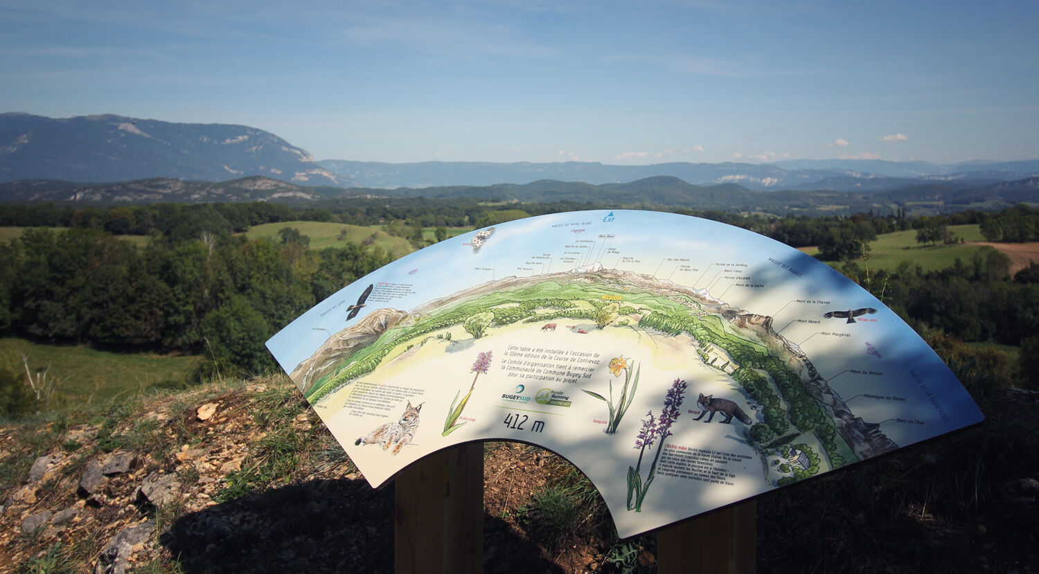
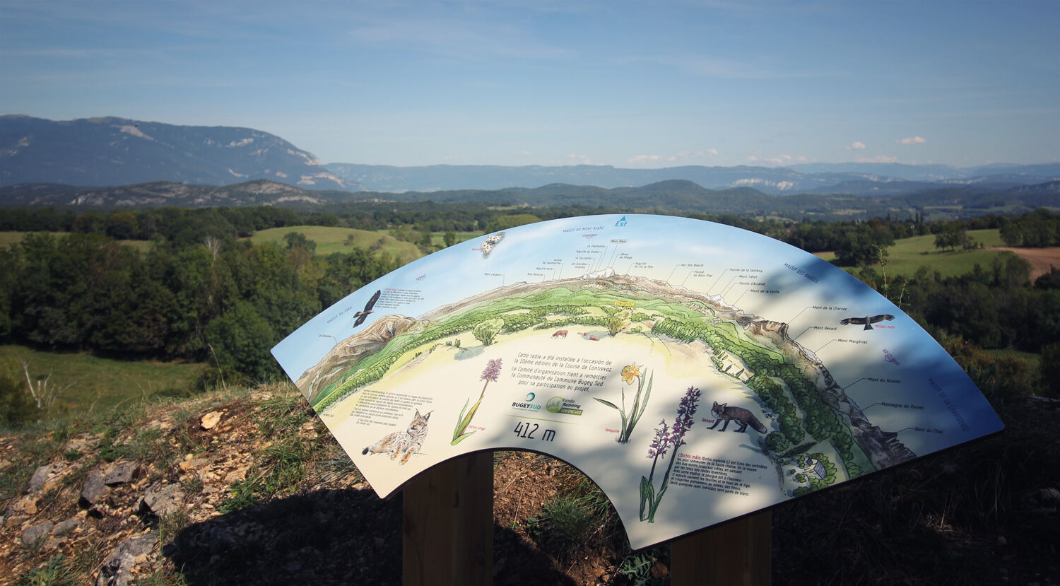
- Wild orchids.
- Site geology.
- Quarry of Charmieu.
- The Sainte Anne Chapel.
- Forest animals.
- History of the village
- Wild orchids.
- Site geology.
- Quarry of Charmieu.
- The Sainte Anne Chapel.
- Forest animals.
- History of the village

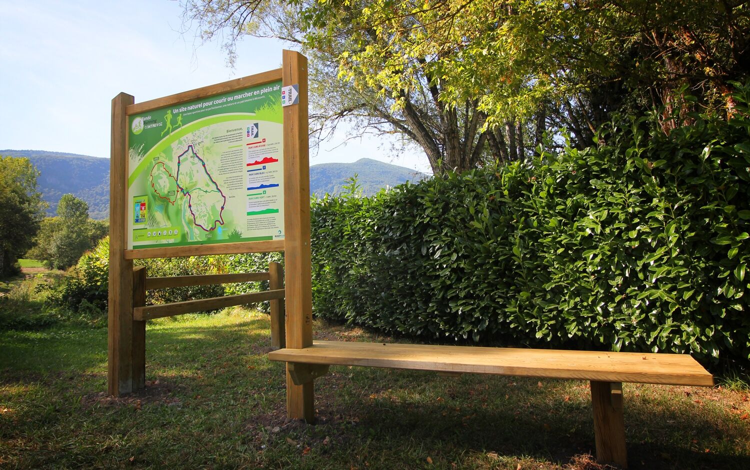
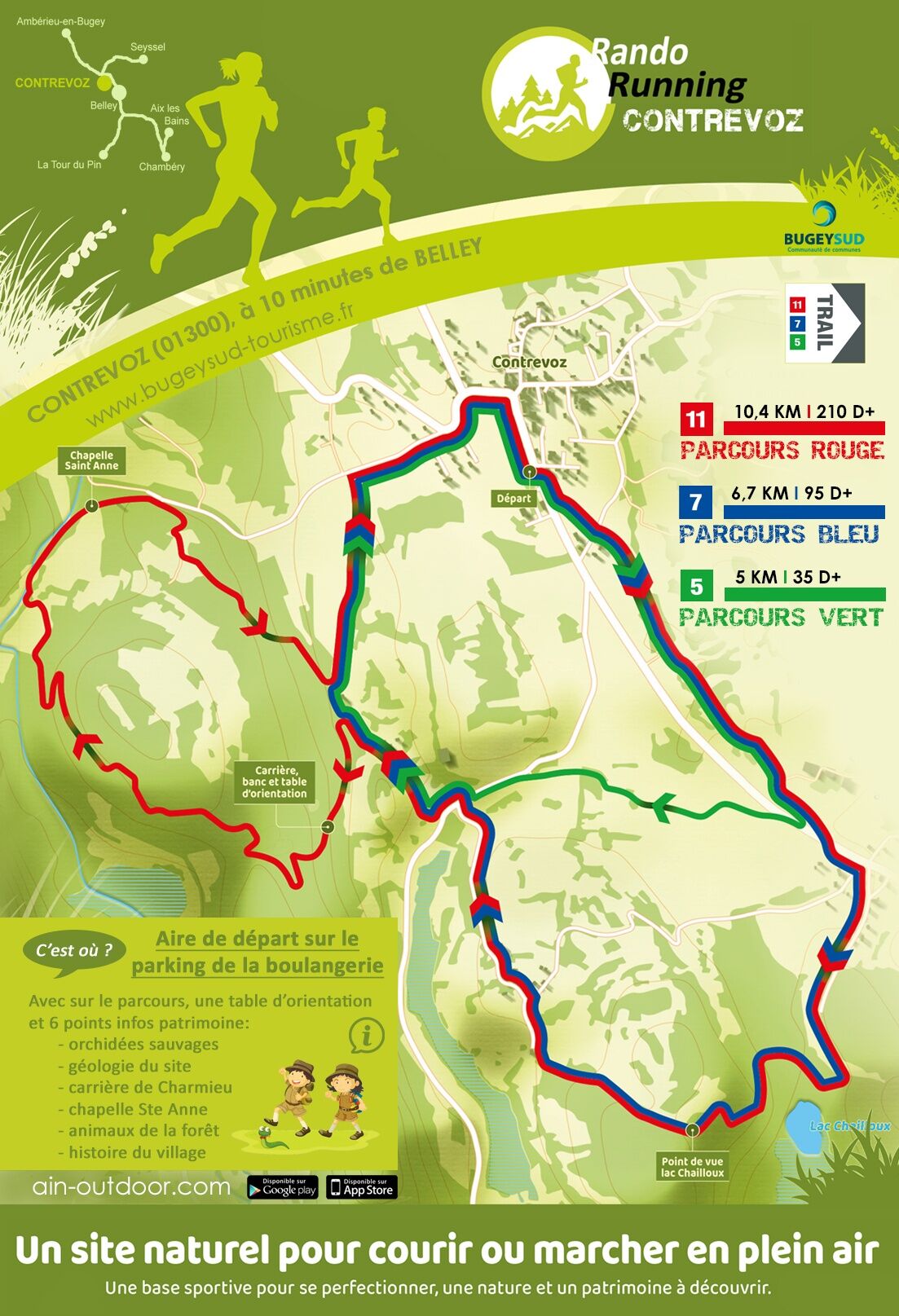
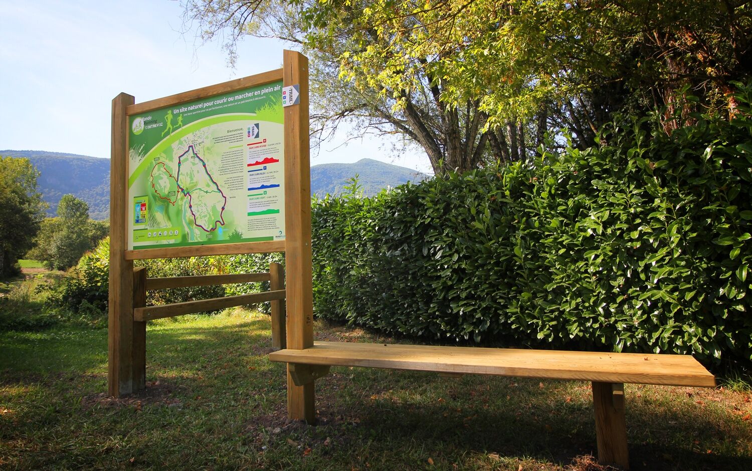
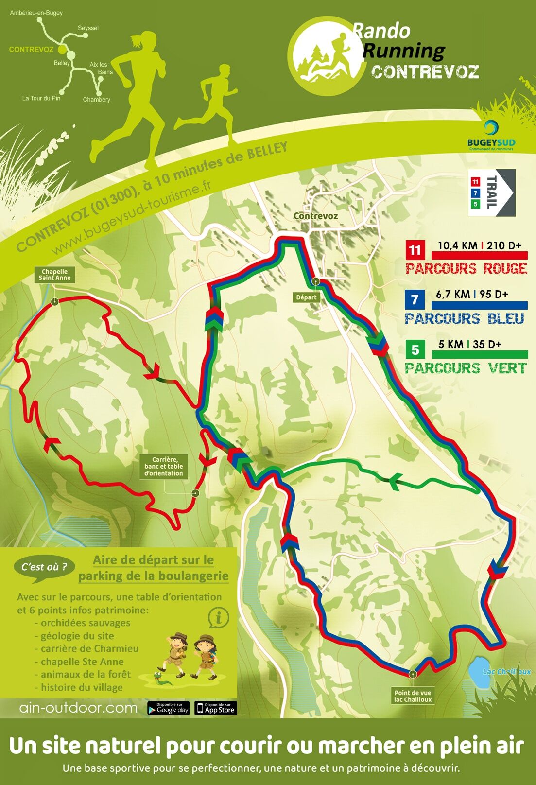
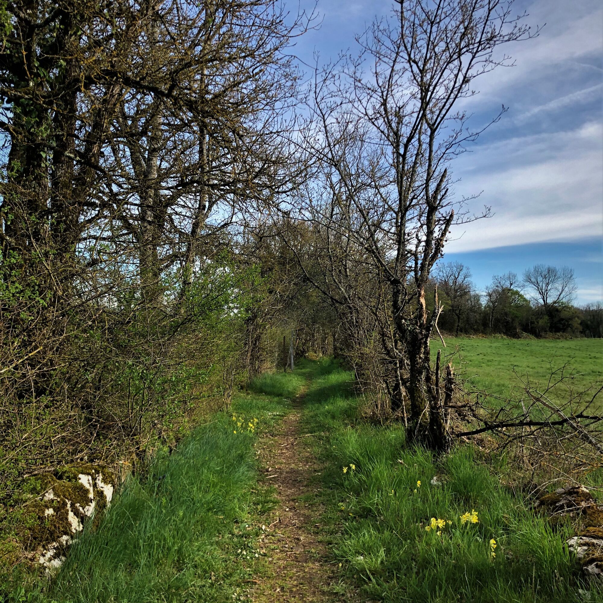
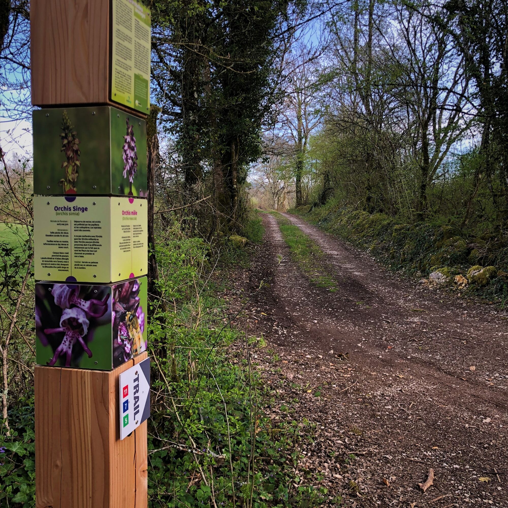
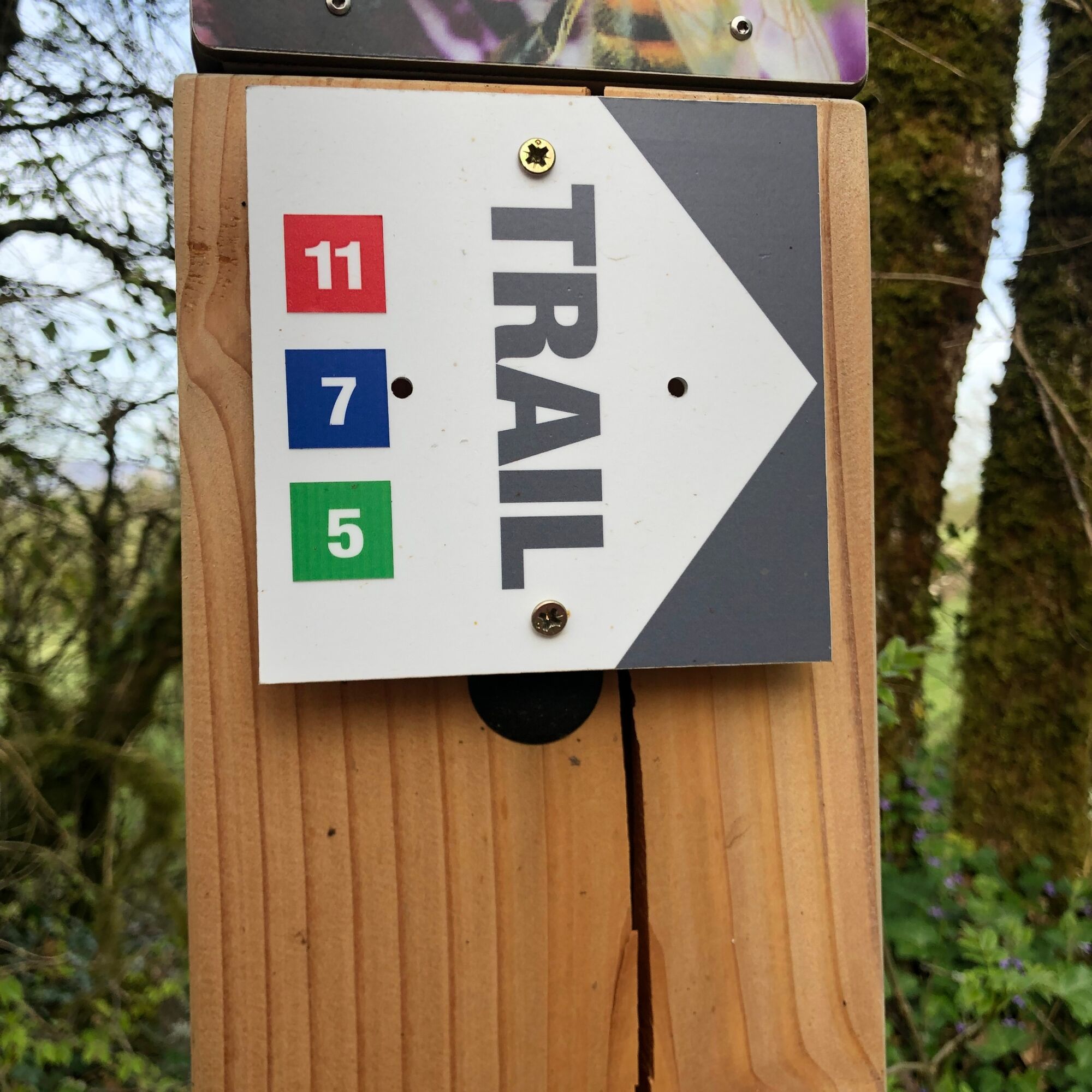
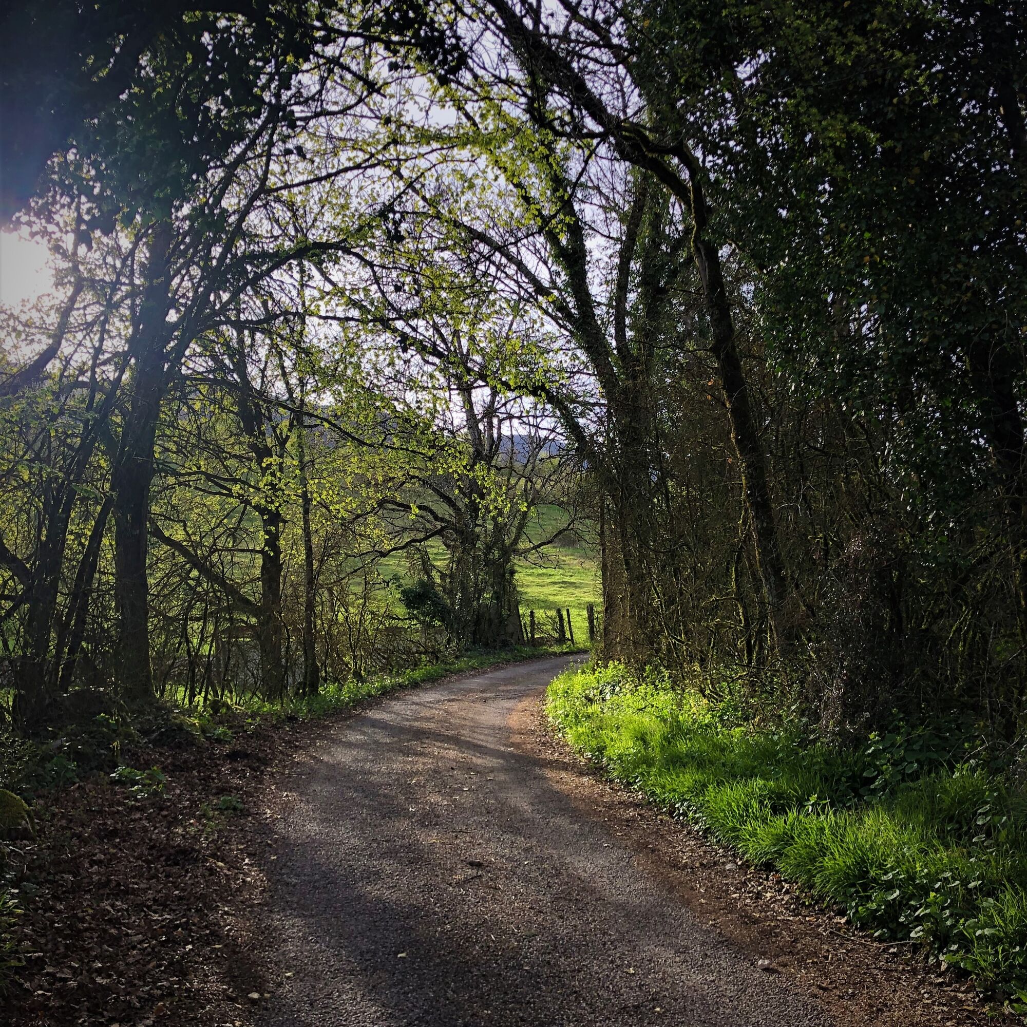
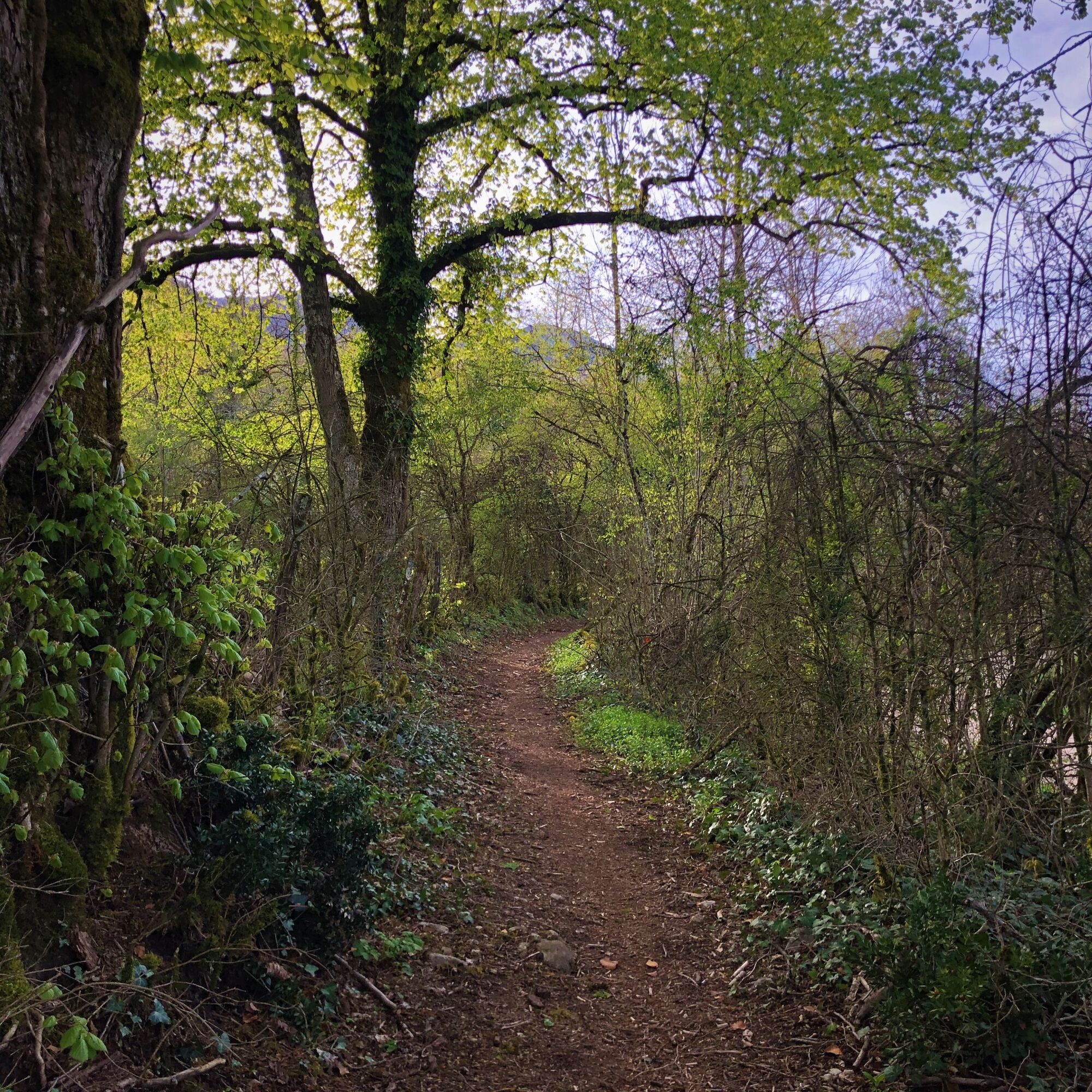
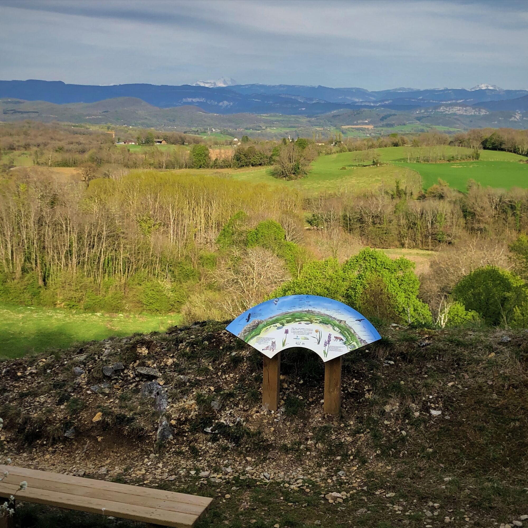
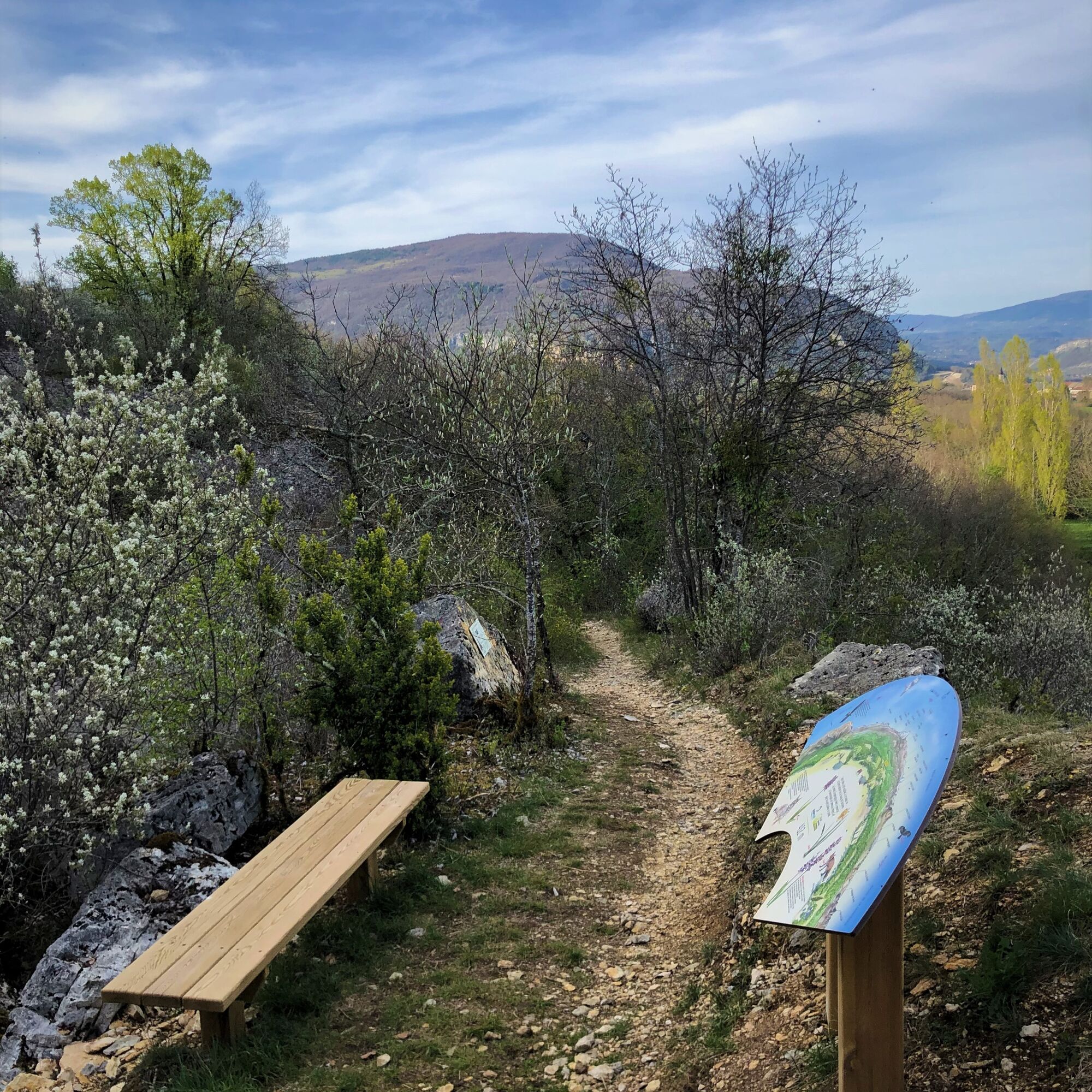
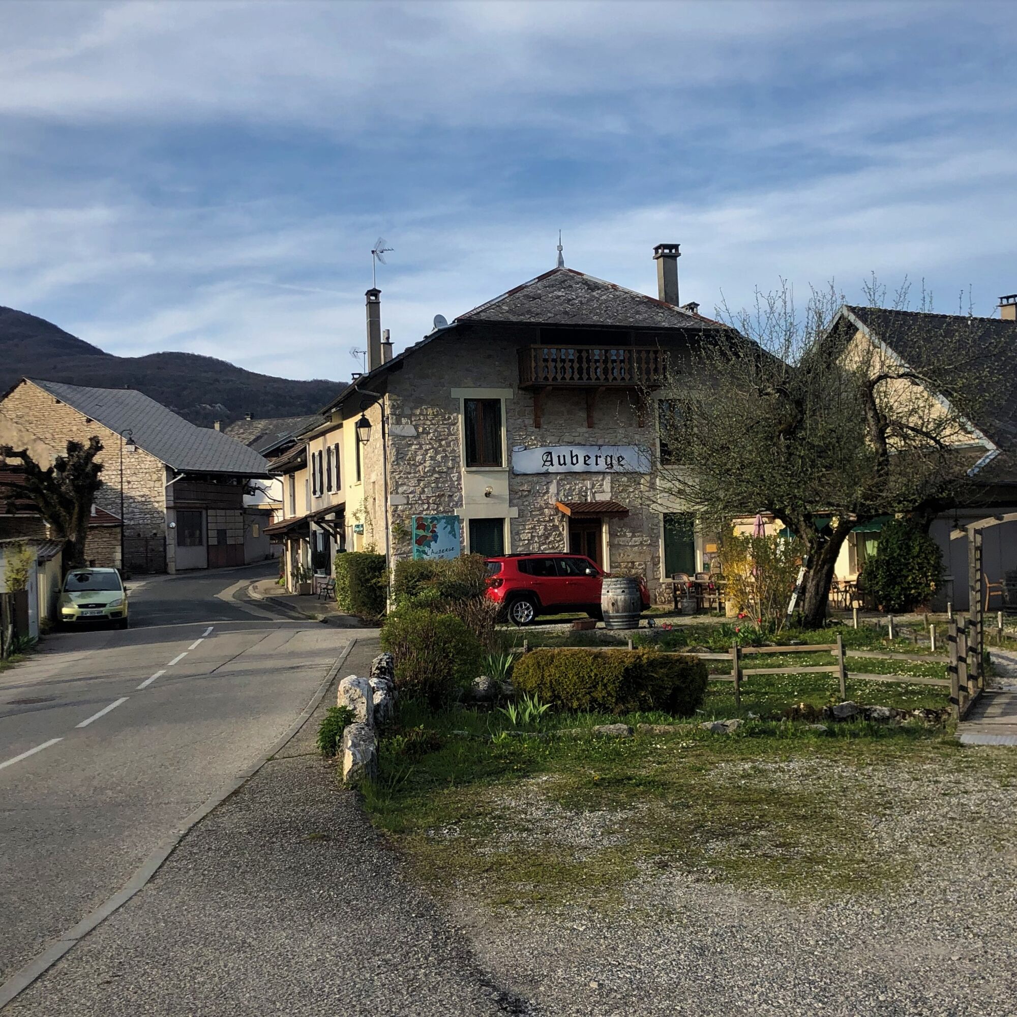
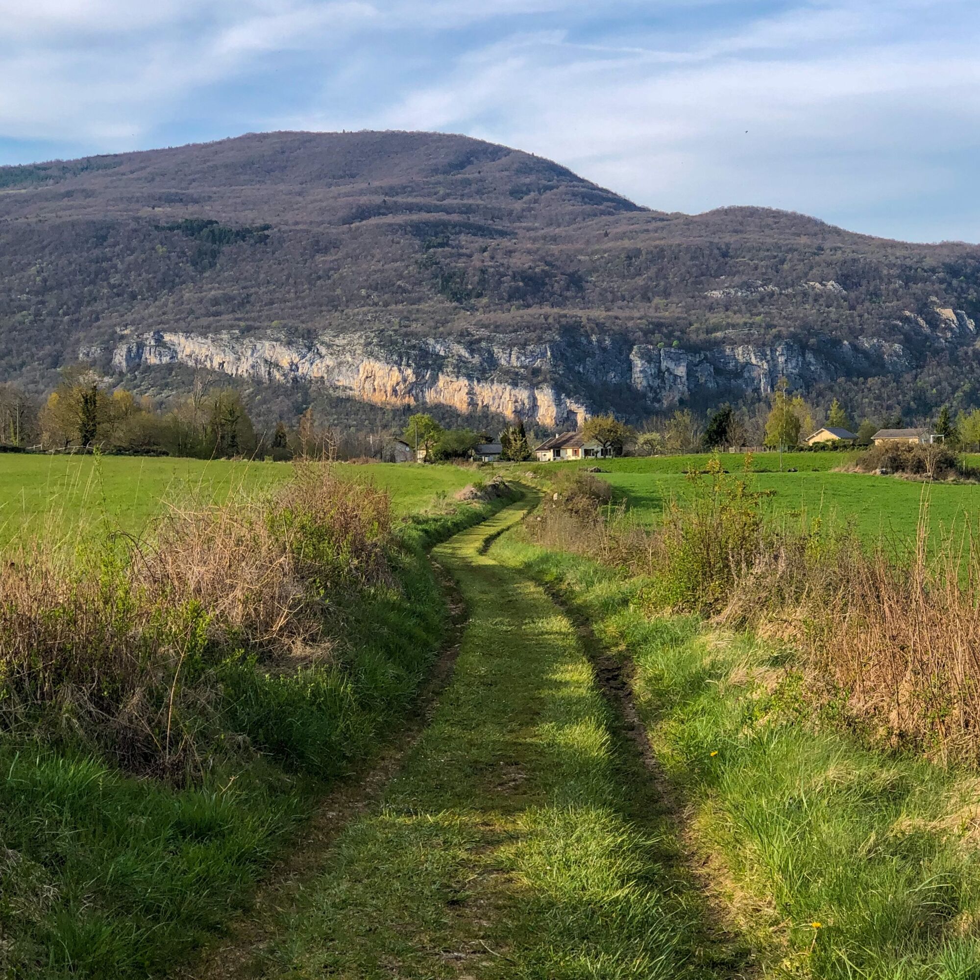

Follow the trail markings from the bakery.
Tak
Tak
It is recommended to wear good shoes for trail running.
Please respect the markings, other users, traffic when crossing roads, keep your waste with you, and respect private properties.
Defective markings, incidents / safety issues, usage conflicts, illegal dumping? : locate and share the problem encountered on the national alert system via the SURICATE app or via the website https://sentinelles.sportsdenature.fr/
Highways from Lyon:
A40, exit 8 Saint-Martin-du-Fresne and Hauteville for Les Plans d’Hotonnes and Plateau de Retord
A42, exit 8: Ambérieu-en-Bugey
A43, exit 10 Les Abrets
Department roads
D 1504 from Ambérieu-en-Bugey
D 992 from Chambéry
The starting point is not accessible by public transport.
It is possible to park in the town hall square parking lot.
T1
APIDAE Tourism data updated on 25/10/2022 by "Office de Tourisme Bugey Sud Grand Colombier".
An error on this sheet? Write to the owner quoting these references:
Sheet name: Parcours trail de Contrevoz: blue circuit 7 km | Sheet ID: 5916705 | URL (link) of this Outdooractive page.
Nearby tips:
Enjoy Bugey gastronomy after your outing at l'Auberge de Contrevoz.
This route is part of the "Ain Outdoor" selection.
Popularne wycieczki w okolicy
- 3,0
Hike: on the ridge of the Grand Colombier (circuit des crêtes)
średniWędrówka 11,3 km - 1,0
Hike of the Clairefontaine waterfall
światłoWędrówka 5,46 km Cycling tour : Marshes and vineyards in Bugey
światłoDroga rowerowa 33,1 kmHike: A wolf life.
światłoWędrówka 7,22 kmHike: mountain pastures of the Grand Colombier
średniWędrówka 5,23 kmMTB track 1 green - Rothonne forest: Le Renard - Espace FFC Ain Forestière
światłoMountainbike 4,93 kmHike : La croix Saint Clair
światłoWędrówka 5,05 kmRandonnée pédestre "ballade nature"
światłoWędrówka 10,1 kmRed rail running loop of Contrevoz
światłoTrailrunning 10,4 kmMTB track 2 blue - Rothonne forest: Le Cerf - Espace FFC Ain Forestière
światłoMountainbike 8,94 km

Wędrówki i tropienie


Nie przegap ofert i inspiracji na następne wakacje
Twój adres e-mail została dodana do listy mailingowej.





