


MTB track 1 green - Rothonne forest: Le Renard - Espace FFC Ain Forestière
Poziom trudności: S1
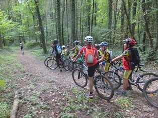
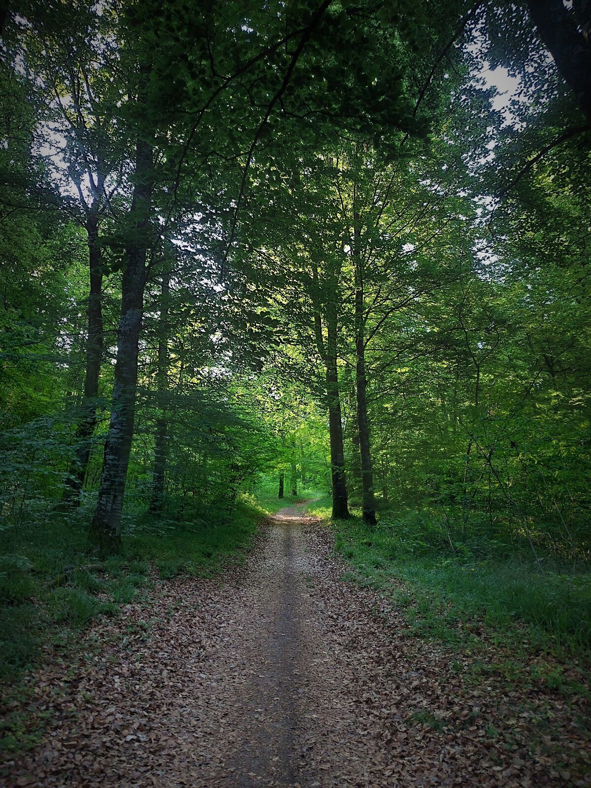
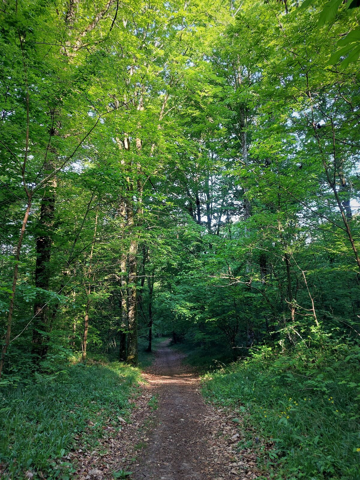
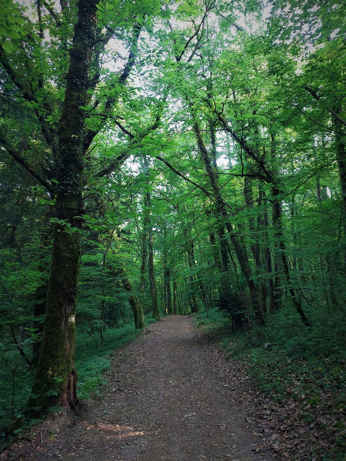
The various circuits of the Rothonne forest are perfectly suited to learning mountain biking. In complete safety, they allow you to discover the handling and maneuverability of the bike on loops of different...
The ground can be very greasy after heavy rains.
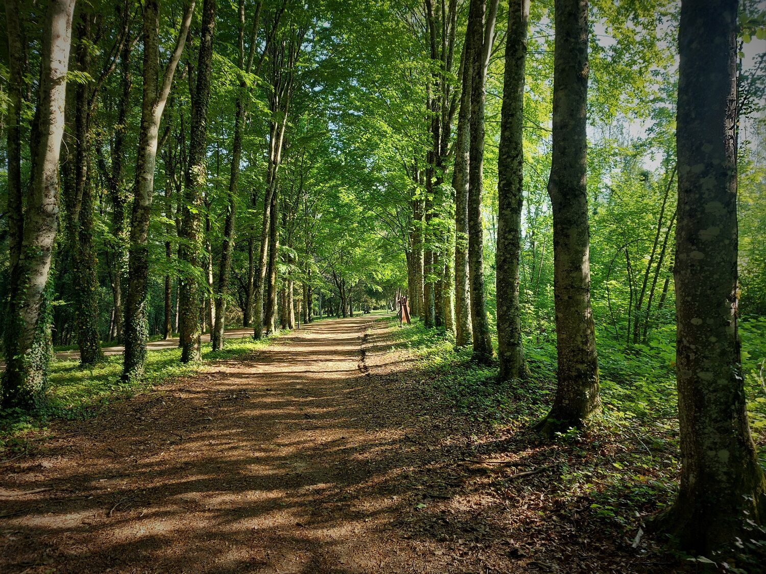
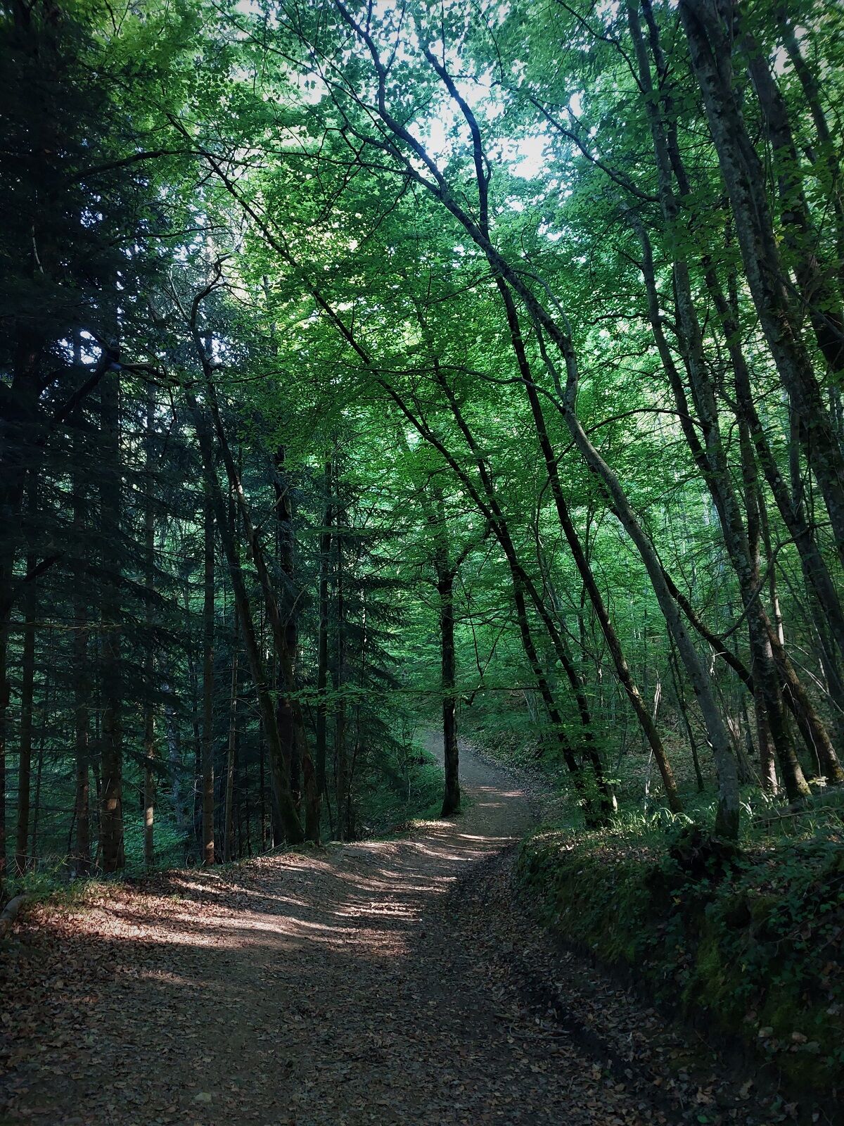
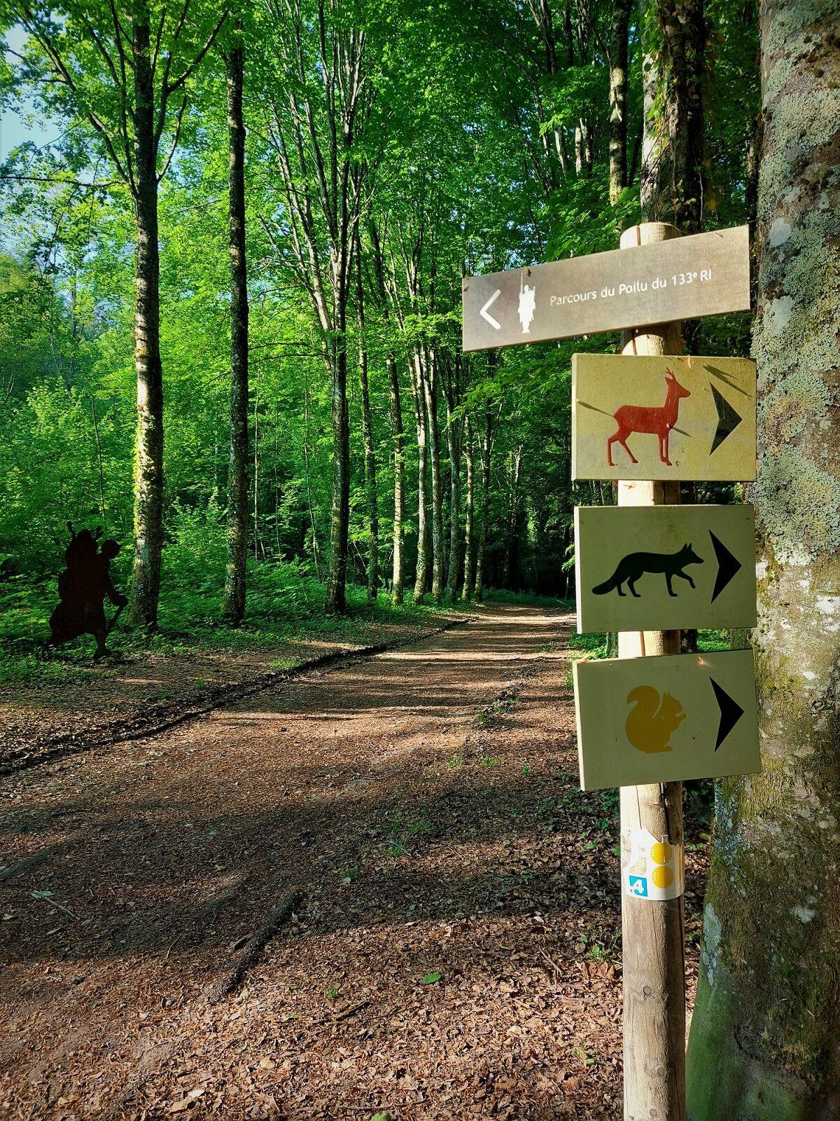
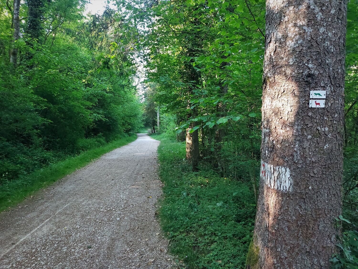
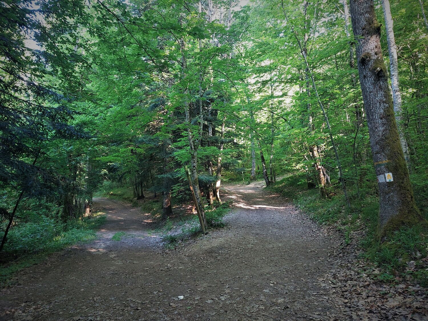
Follow the MTB 1 waymarking or the Fox waymarking.
Tak
It is highly recommended to have a water bottle, a helmet, a mobile phone, and a repair kit.
There are no difficult sections, please respect the mountain biker's code of conduct.
Motorways from Lyon:
A40, exit 8 Saint-Martin-du-Fresne and Hauteville for Les Plans d’Hotonnes and Plateau de Retord
A42, exit 8: Ambérieu-en-Bugey
A43, exit 10 Les Abrets
Departmental roads
D 1504 from Ambérieu-en-Bugey
D 992 from Chambéry
The starting point is not accessible by public transport.
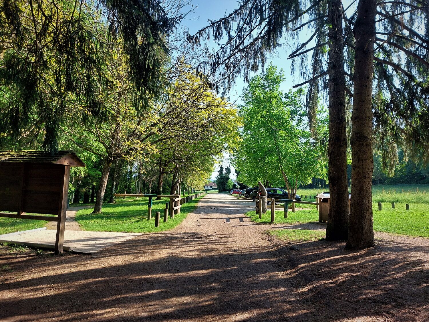
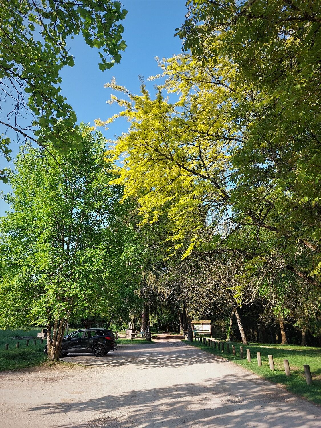
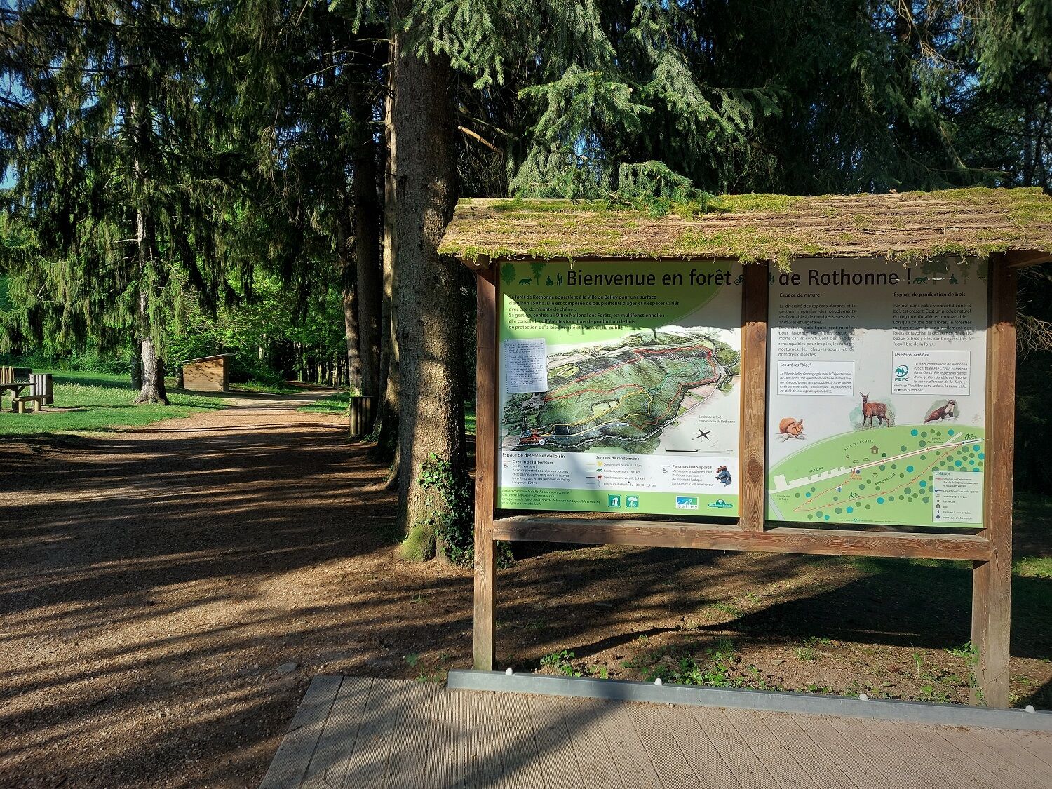
There is a parking lot located at the entrance to the Rothonne forest.
S1
APIDAE Tourism data updated on 09/13/2022 by "Office de Tourisme Bugey Sud Grand Colombier".
An error on this sheet? Write to the owner by referencing these details:
Sheet name: MTB route 1 of the Rothonne forest: The Fox | Sheet ID: 527283 | URL (link) of this Outdooractive page.
Small loop starting from the Rothonne forest allowing the discovery of mountain biking in complete safety.
This route is part of the "Ain Outdoor" selection.

Popularne wycieczki w okolicy
-
5,0
Hike : Tour du Mont de Cordon
światłoWędrówka 7,16 km -
Trail along the water (Sentier de l'eau)
średniWędrówka 7,28 km -
1,0
Hike of the Clairefontaine waterfall
światłoWędrówka 5,46 km -
4,0
Hike: Montagne de Saint-Benoit
ciężkiWędrówka 12,5 km -
Hike : Armaille Lake
światłoWędrówka 9,42 km -
Hike starting from Parves-et-Nattages: le circuit du Sorbier
światłoWędrówka 11,4 km -
Cycling tour : Marshes and vineyards in Bugey
światłoDroga rowerowa 33,1 km -
Hike : Lake and vineyards
światłoWędrówka 9,76 km -
5-MTB trail - Lac d'Armaille - Espace FFC Ain Forestière
ciężkiMountainbike 26,7 km -
E-mountainbike loop 8 - Marais d'Aignoz - Espace FFC Ain Forestière
ciężkiMountainbike 44,6 km

Wędrówki i tropienie


Nie przegap ofert i inspiracji na następne wakacje
Twój adres e-mail została dodana do listy mailingowej.