







5-MTB trail - Lac d'Armaille - Espace FFC Ain Forestière
Poziom trudności: S1
Follow the red signs number 5 starting from Belley.

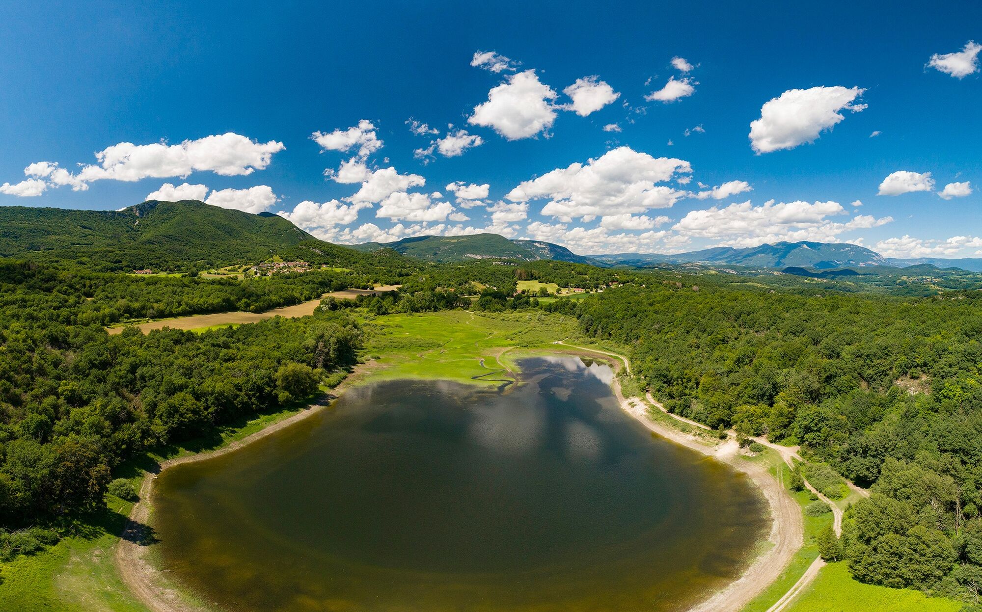
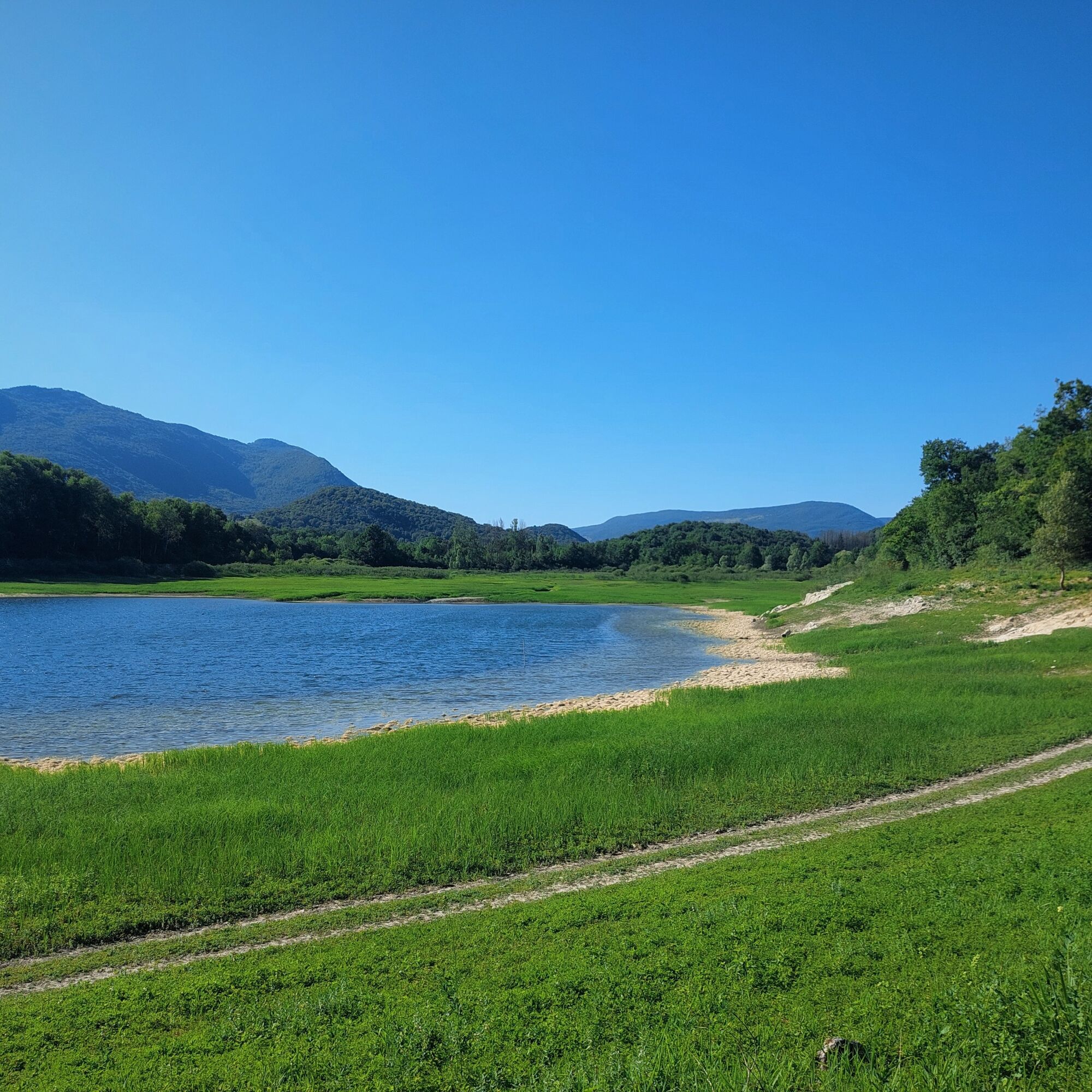
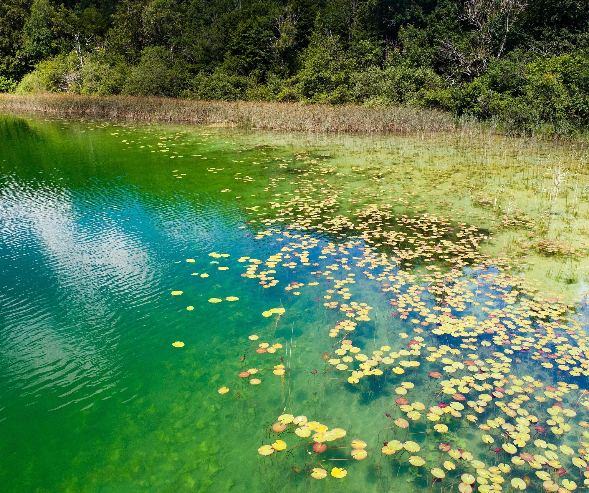
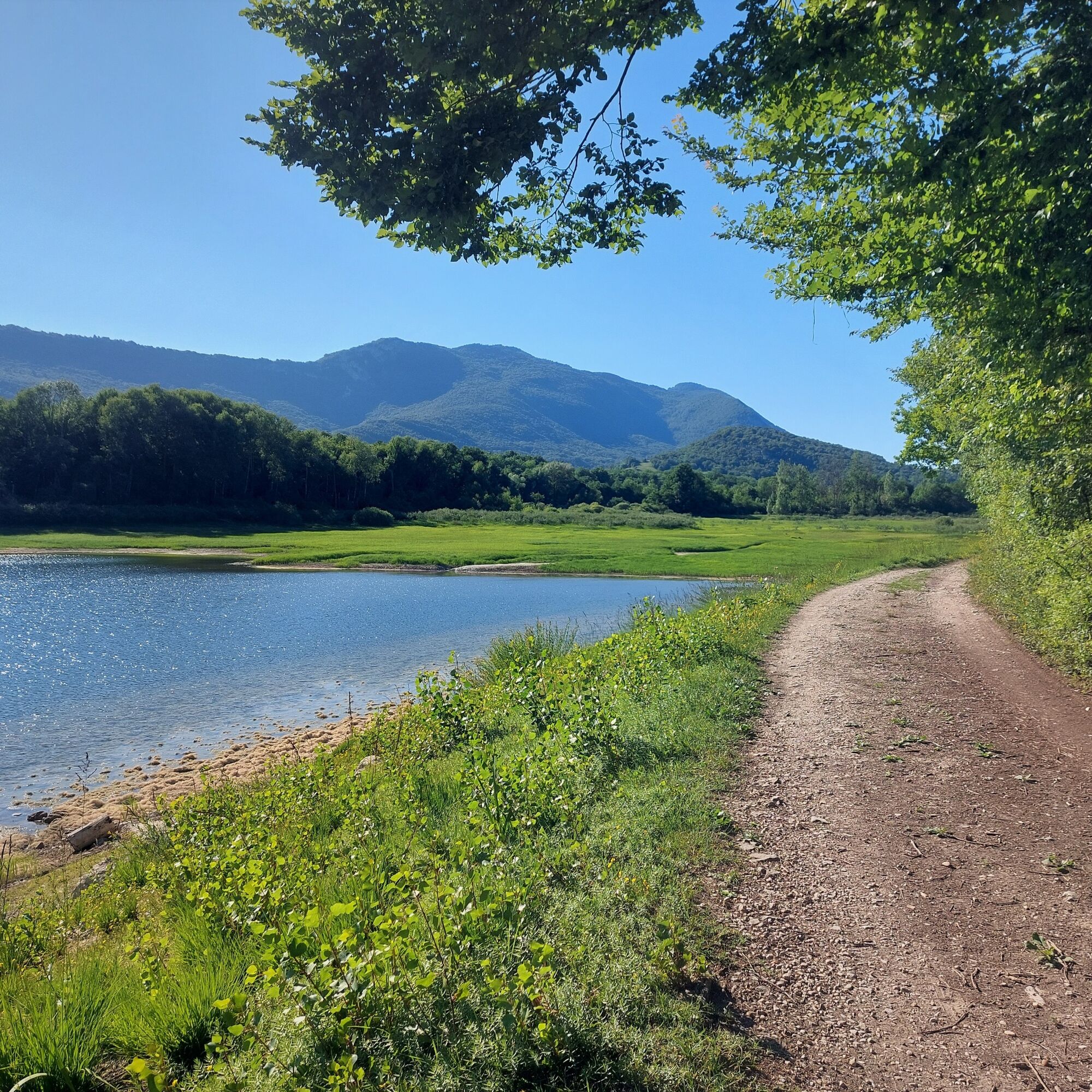
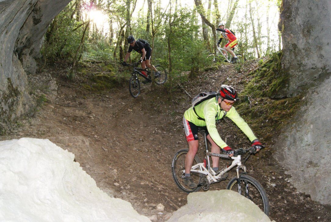
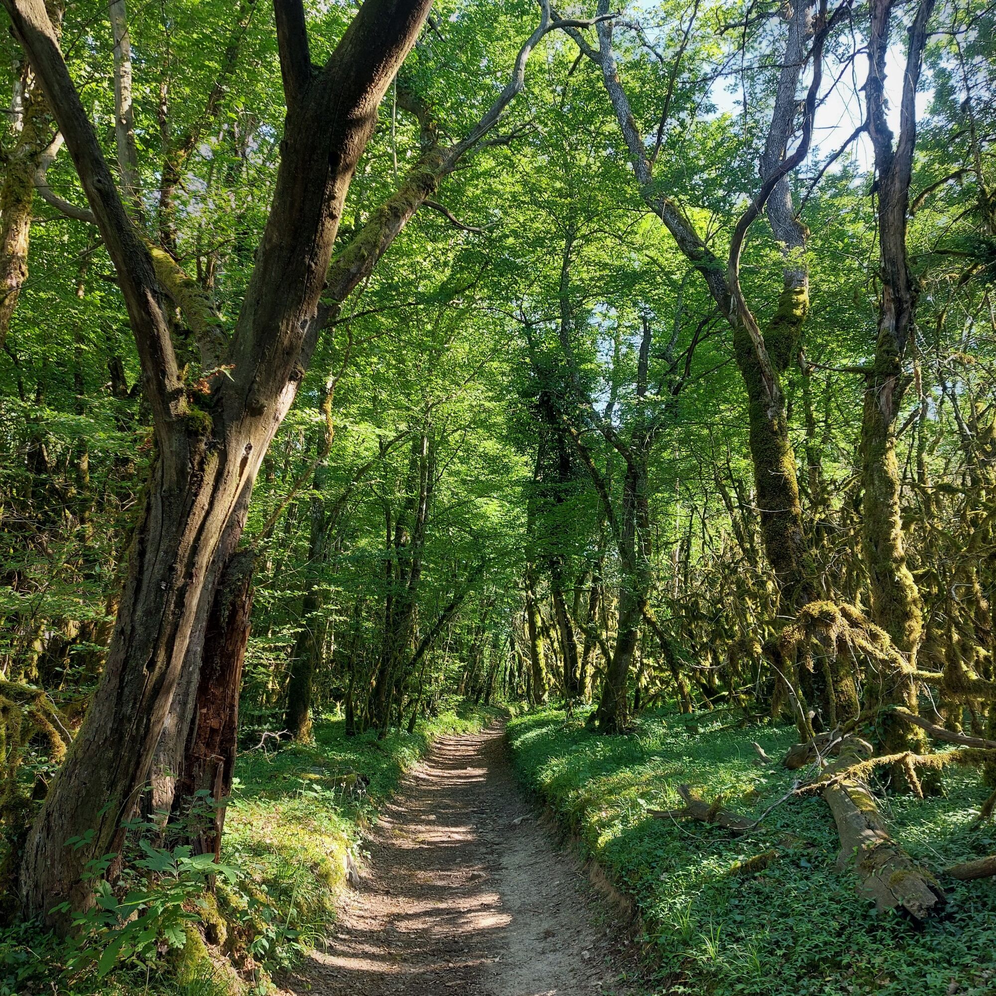
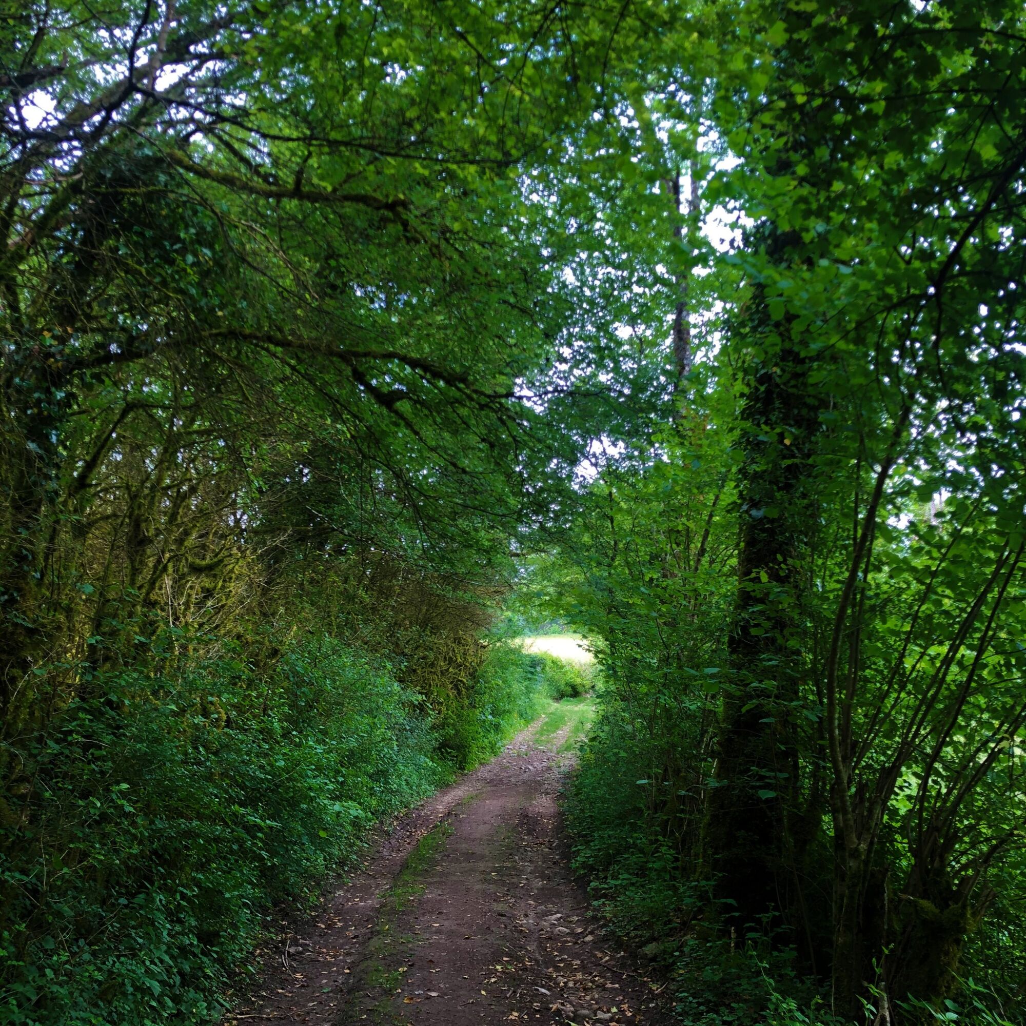
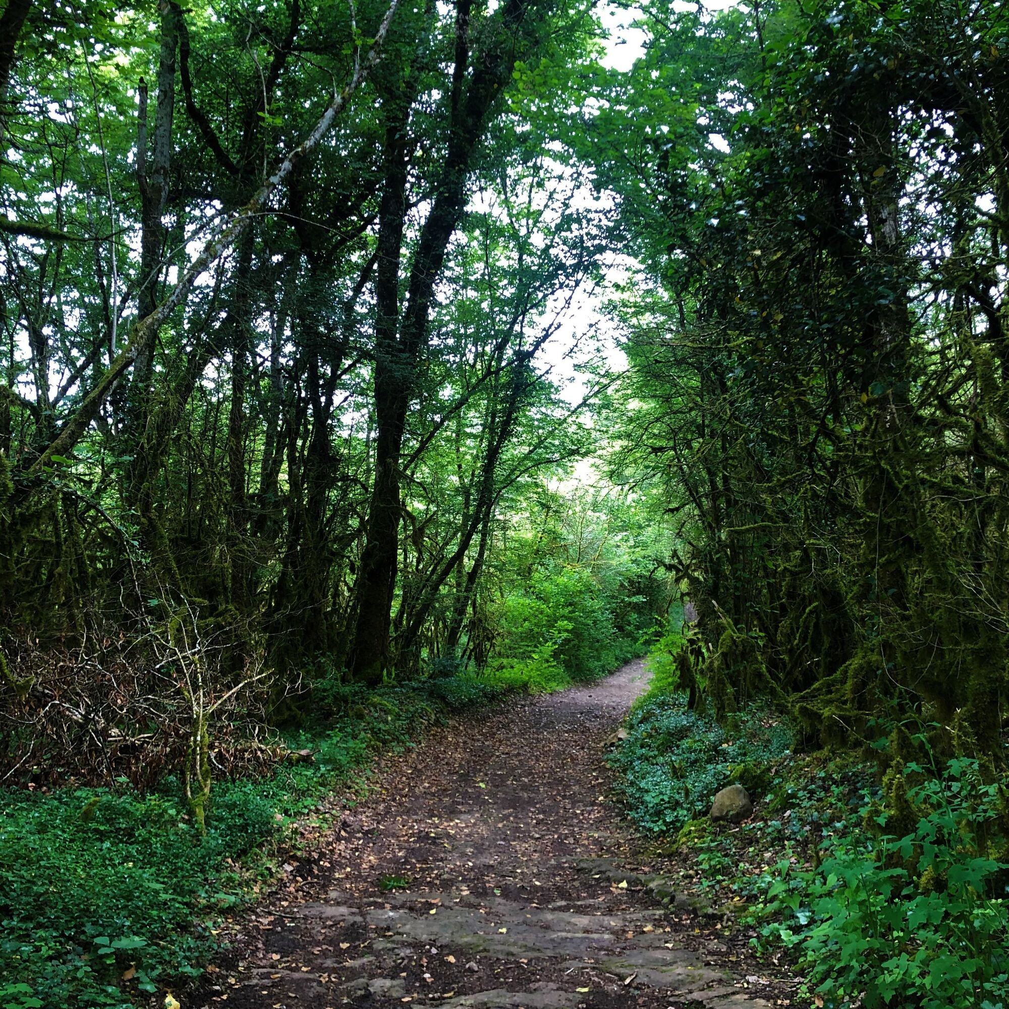
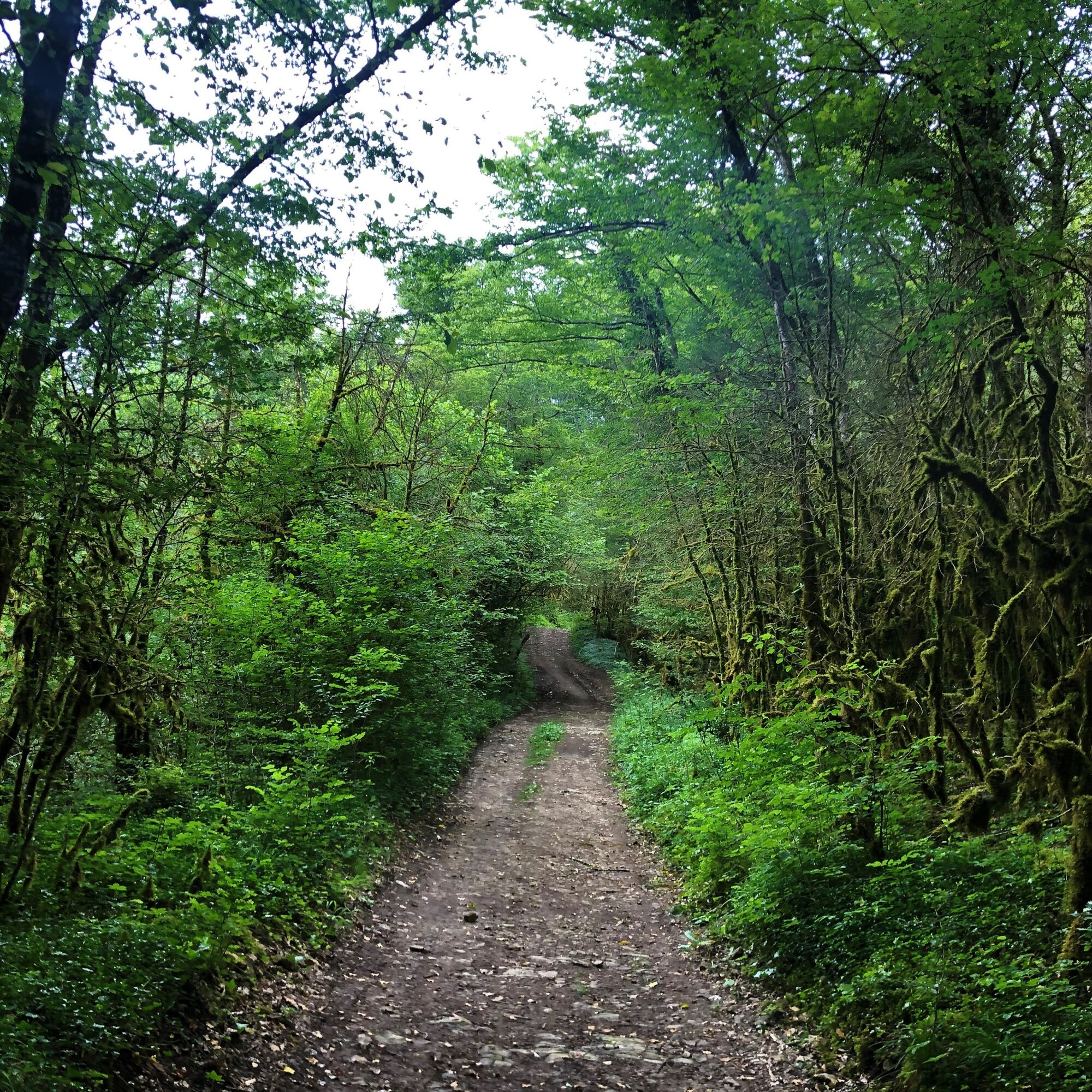
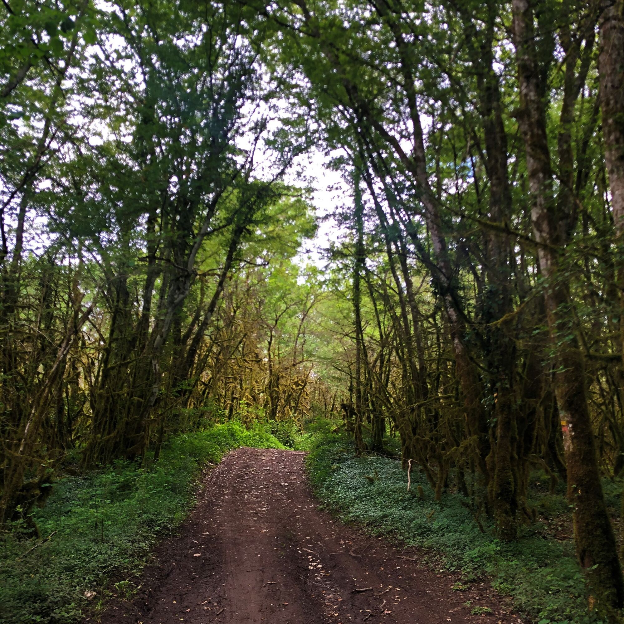
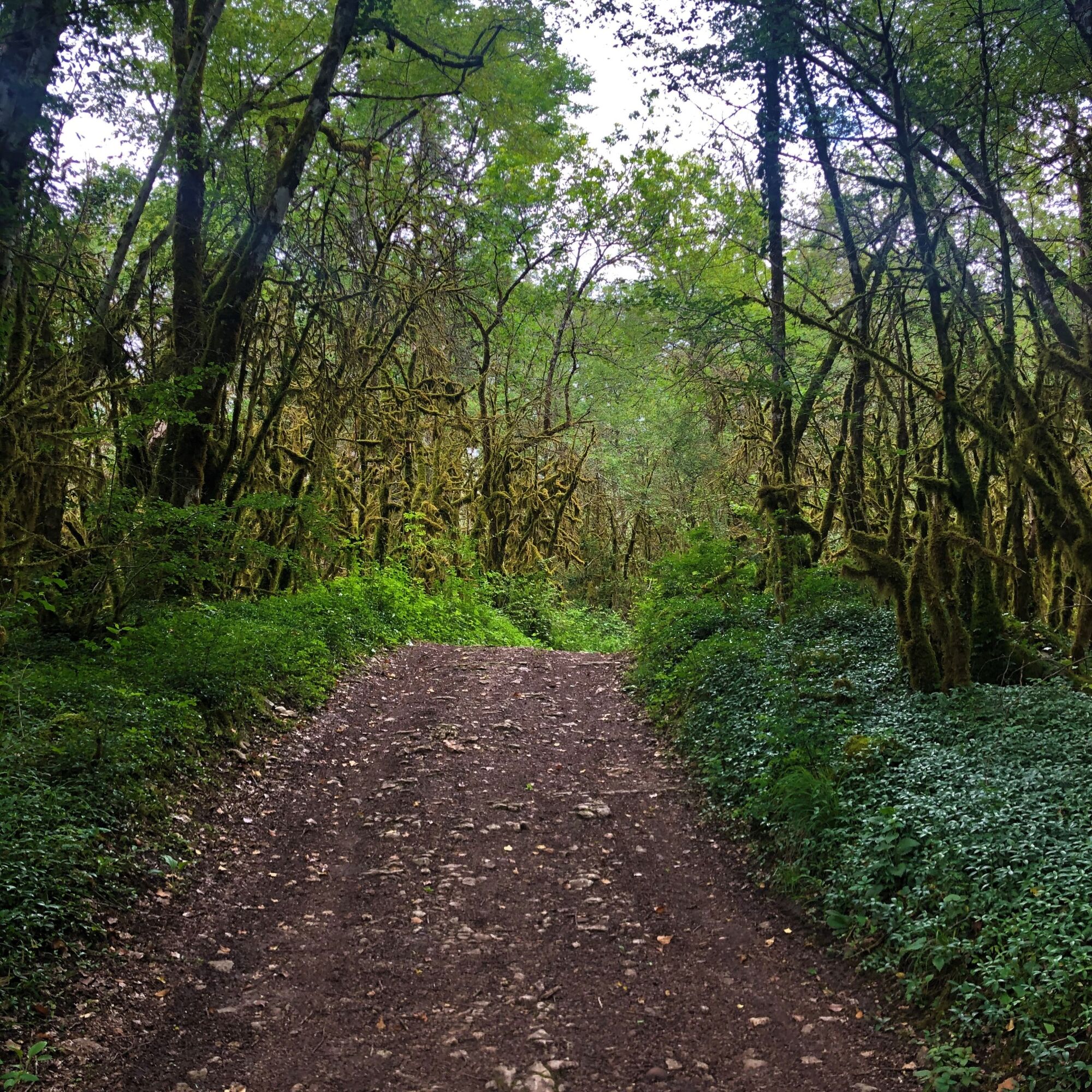
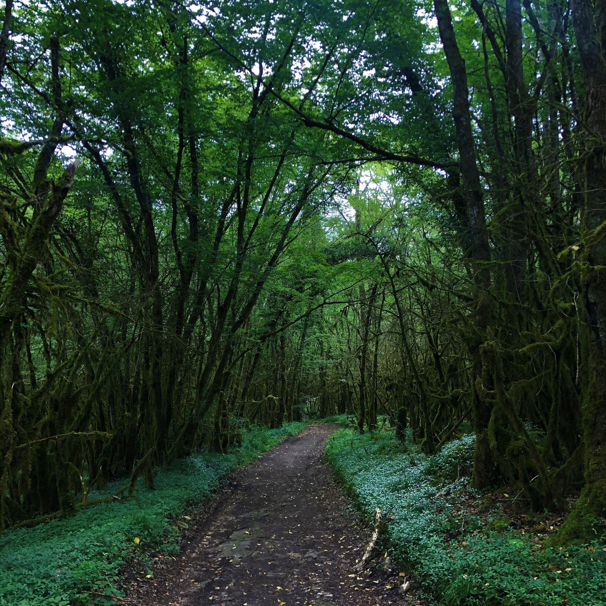
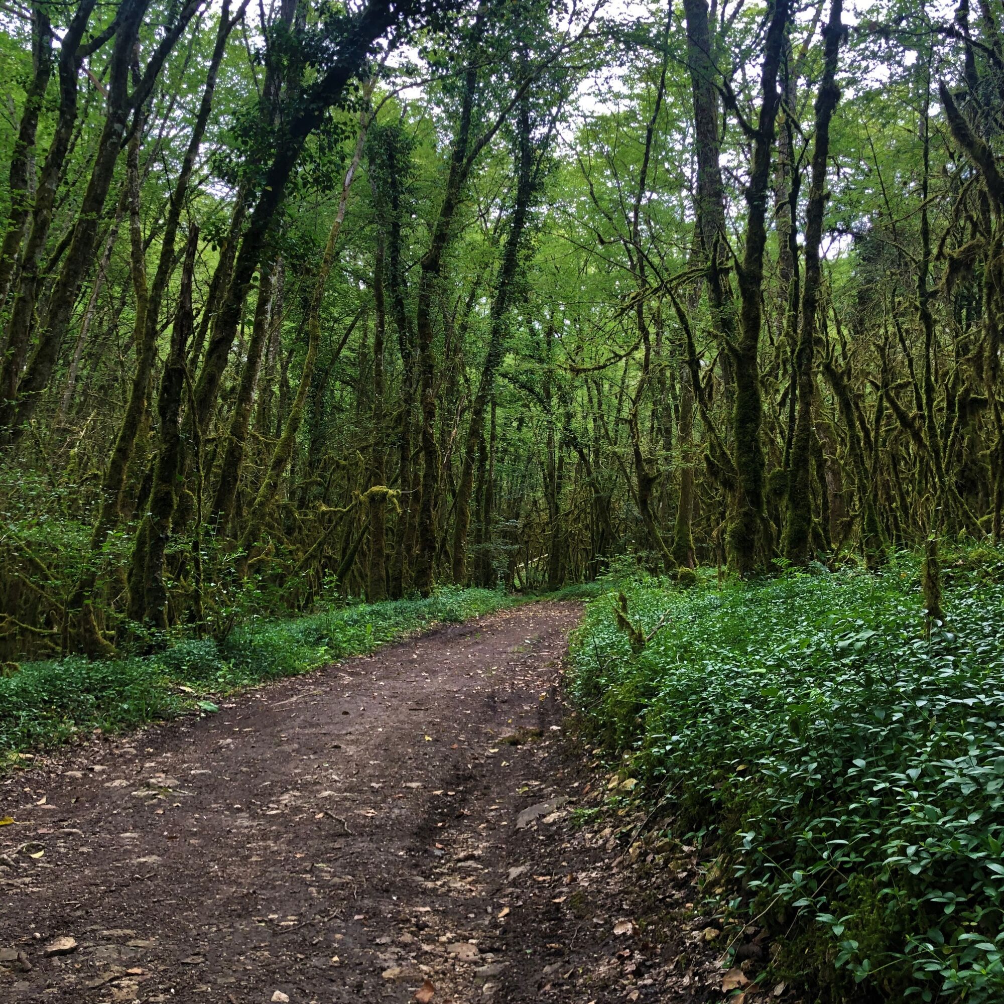
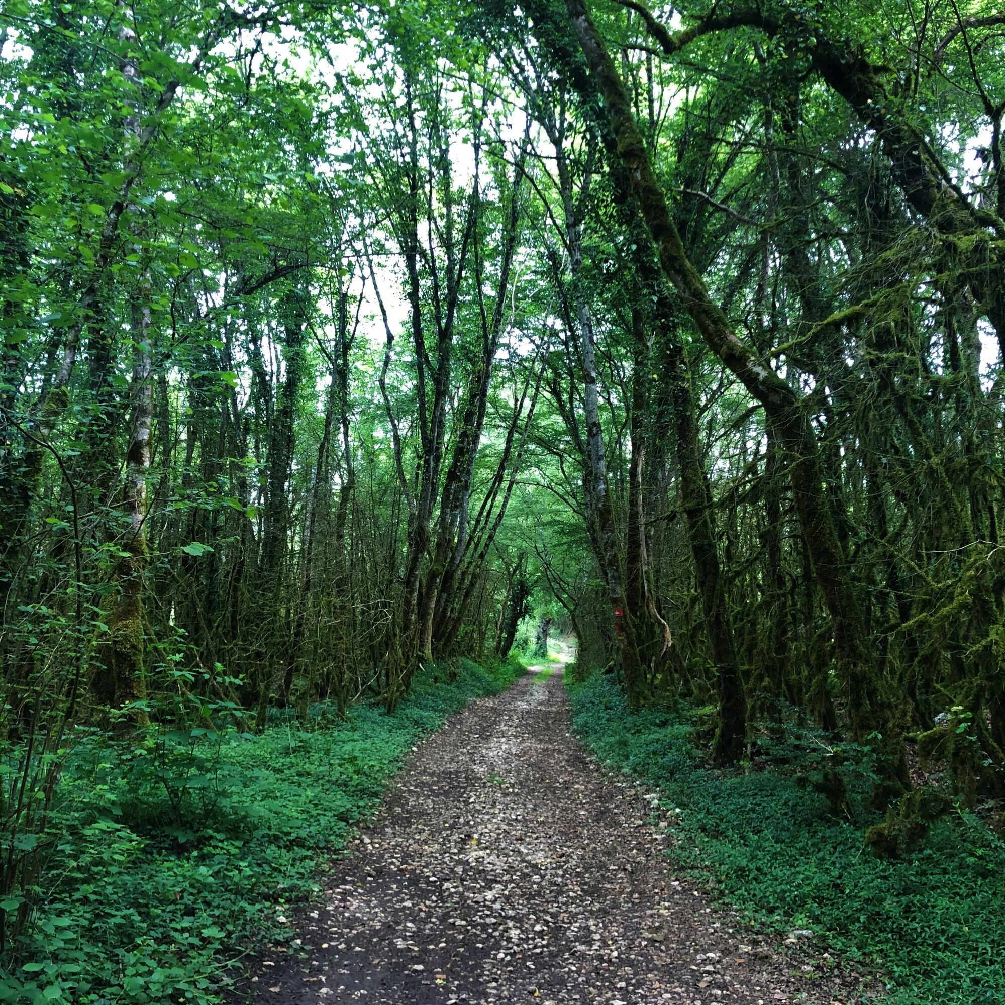
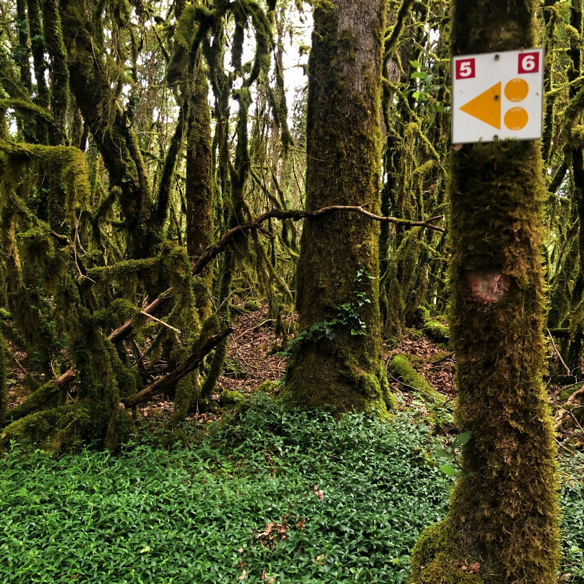
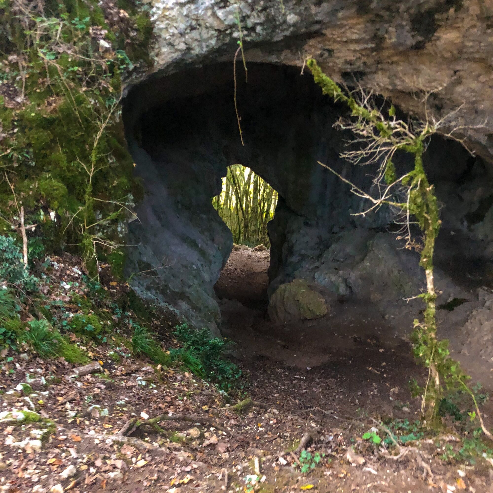
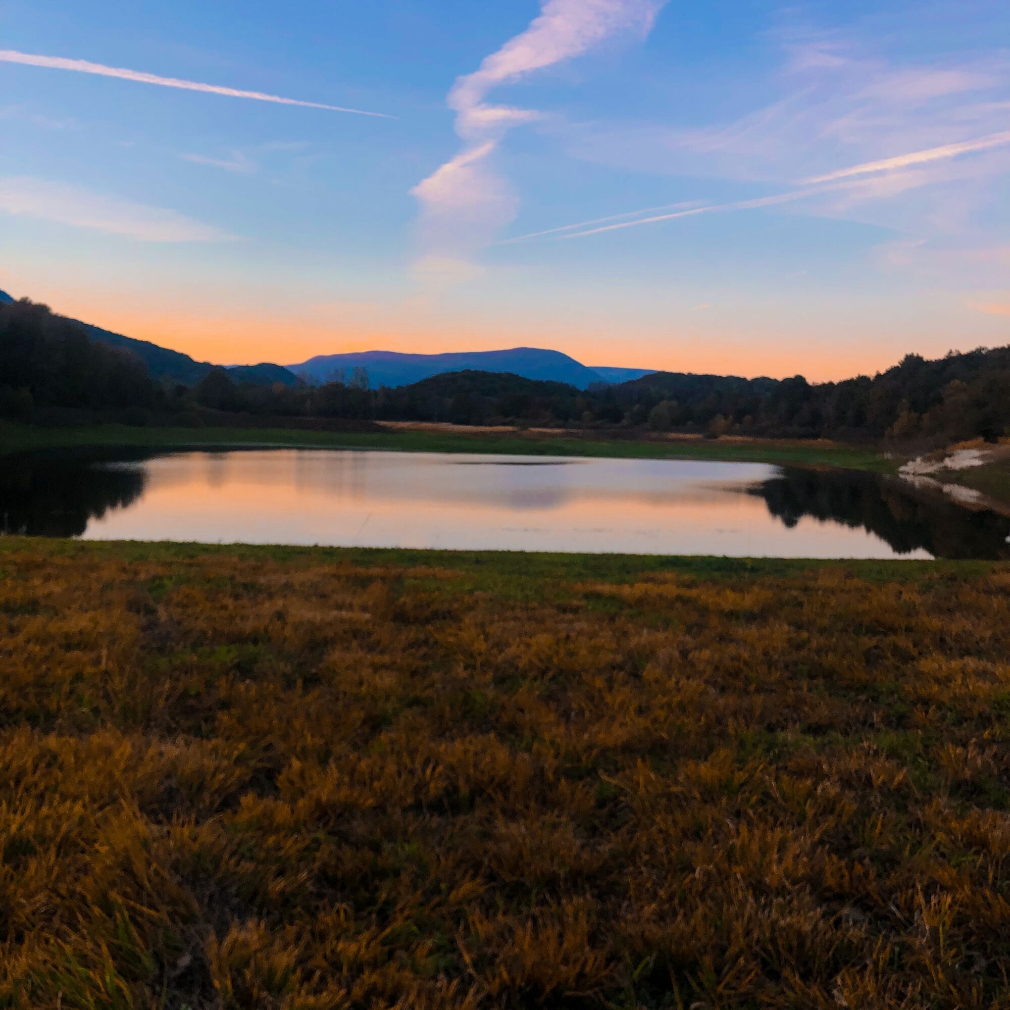
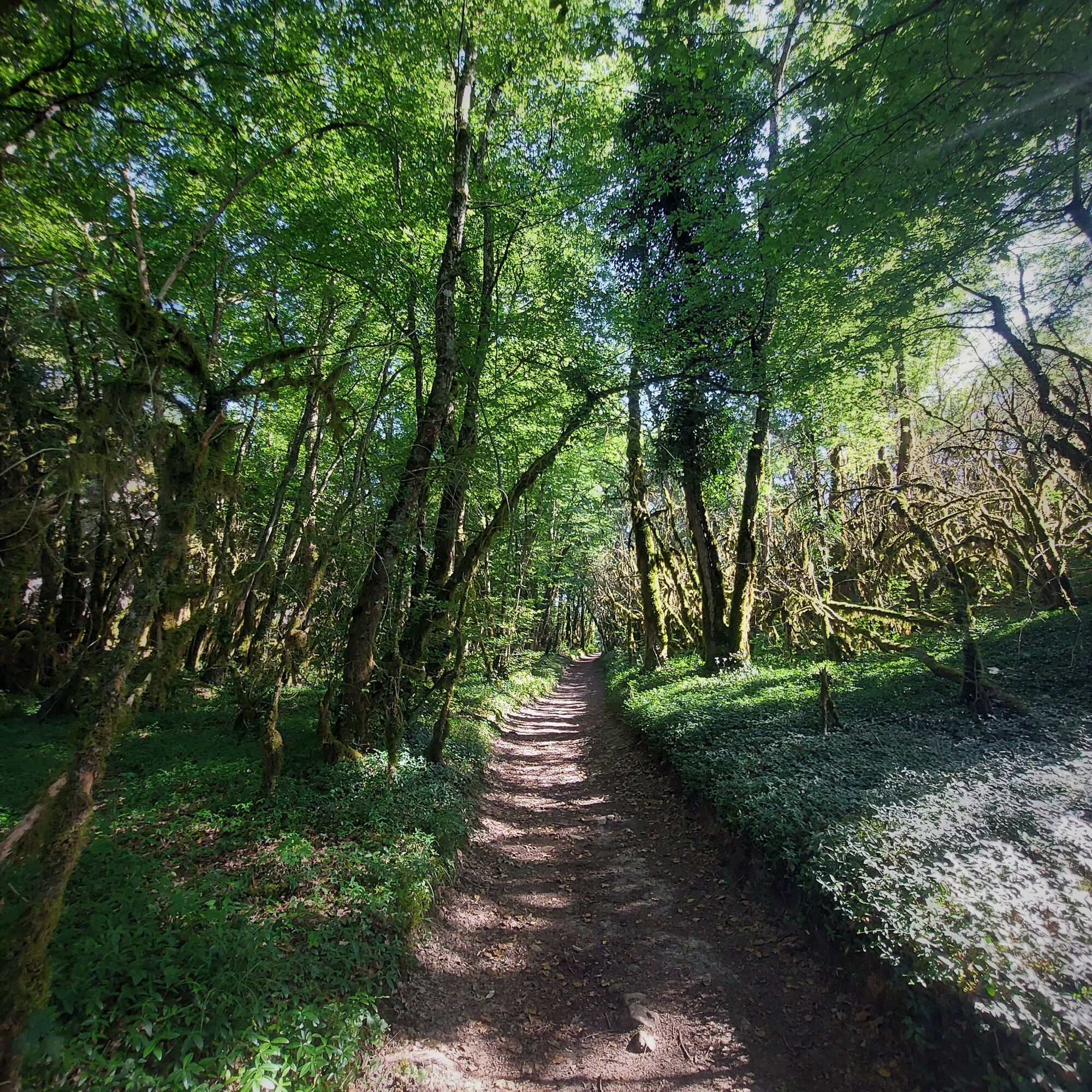
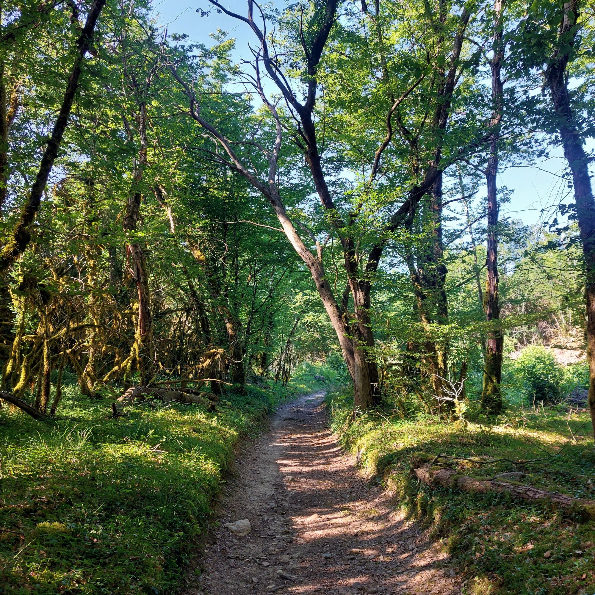
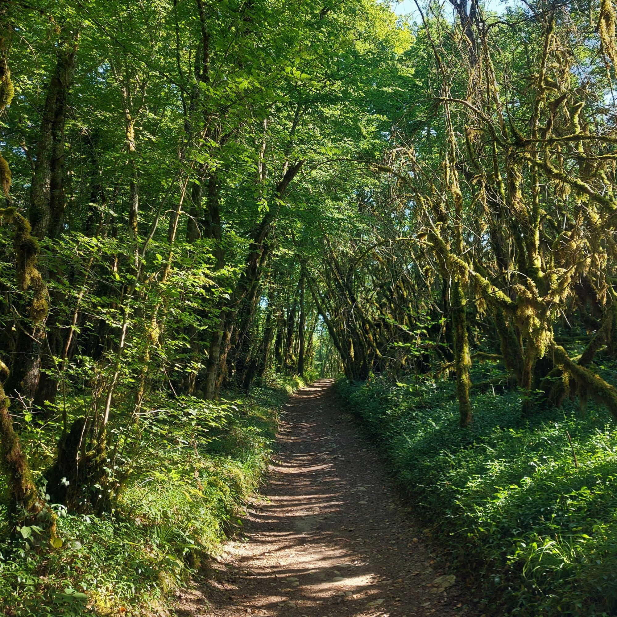
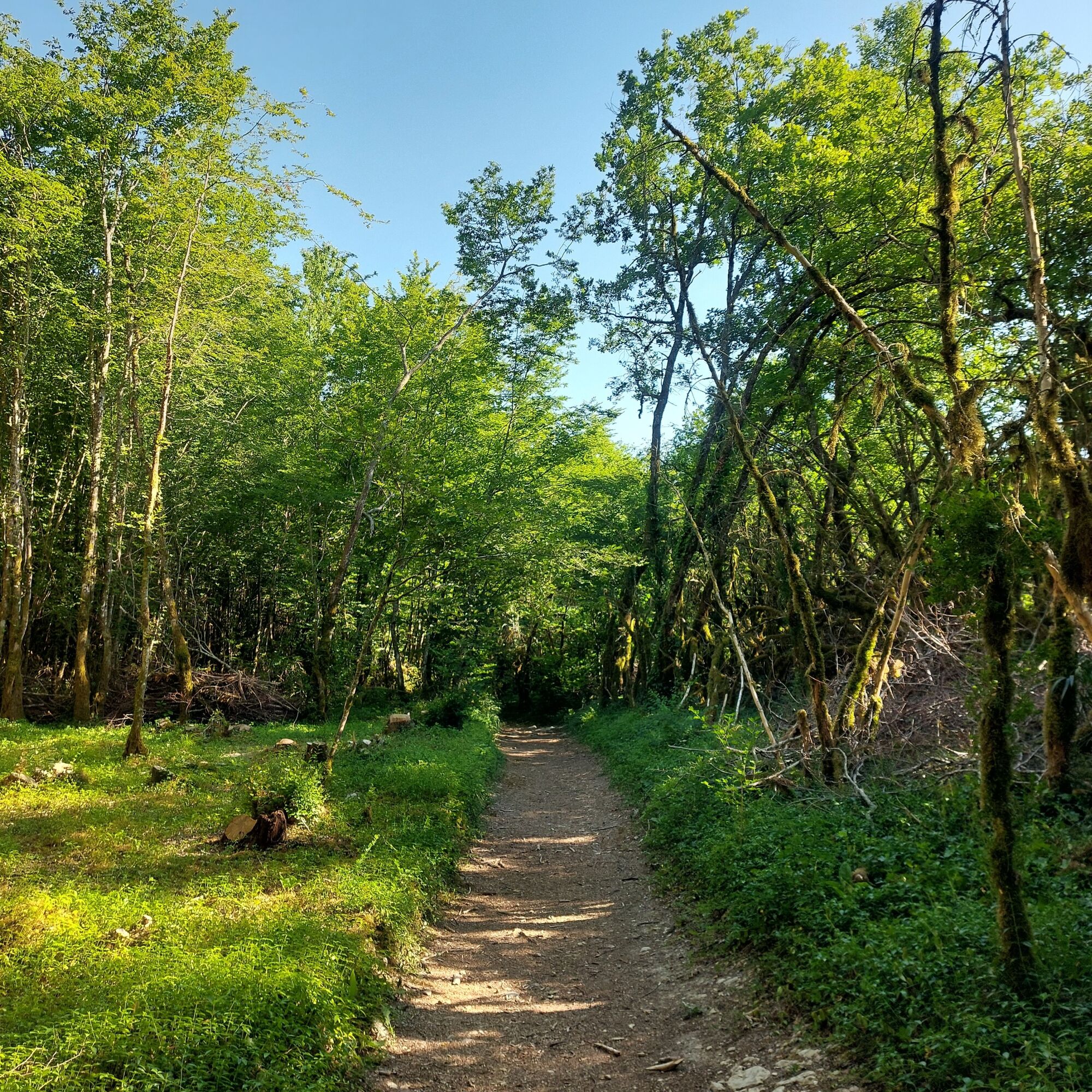
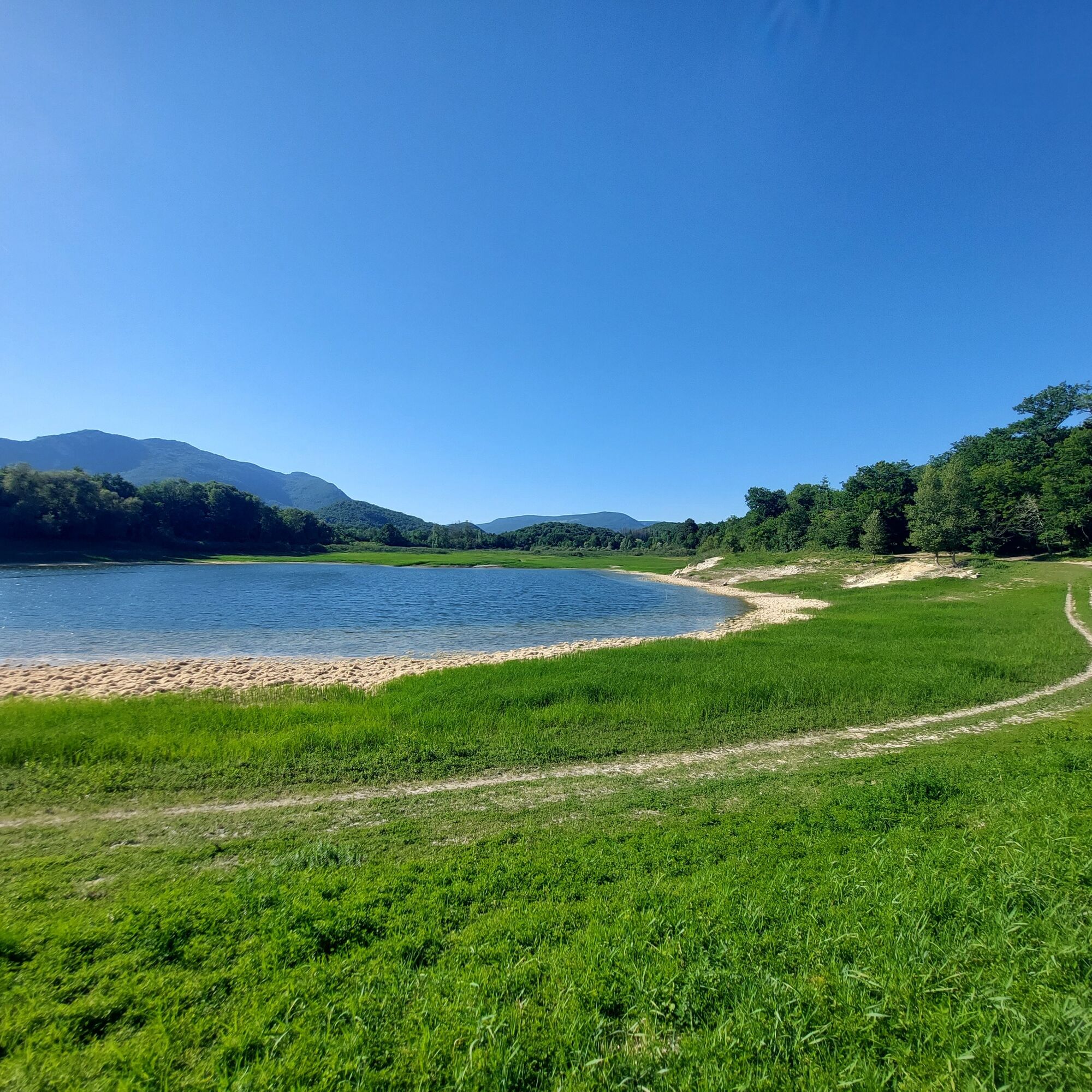
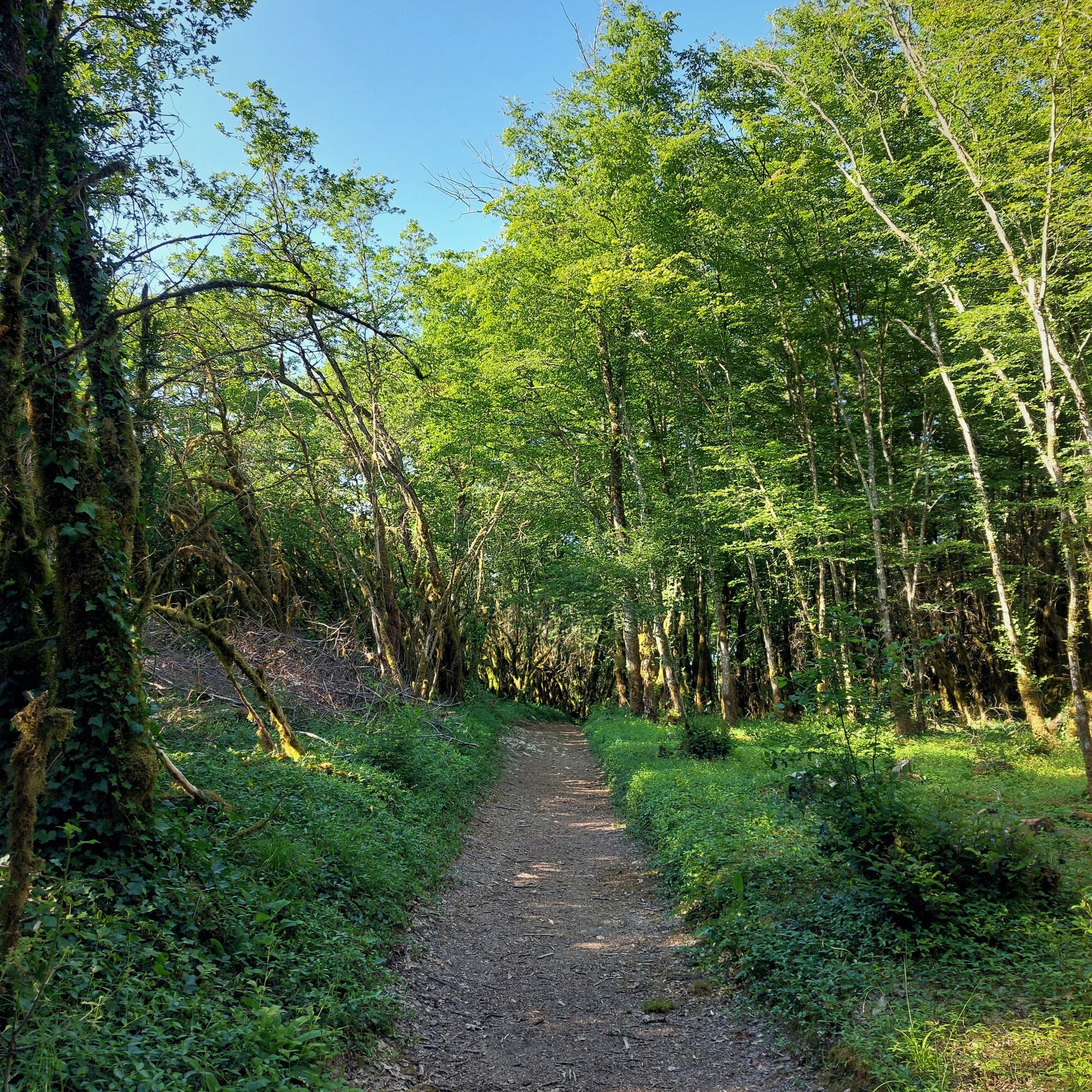
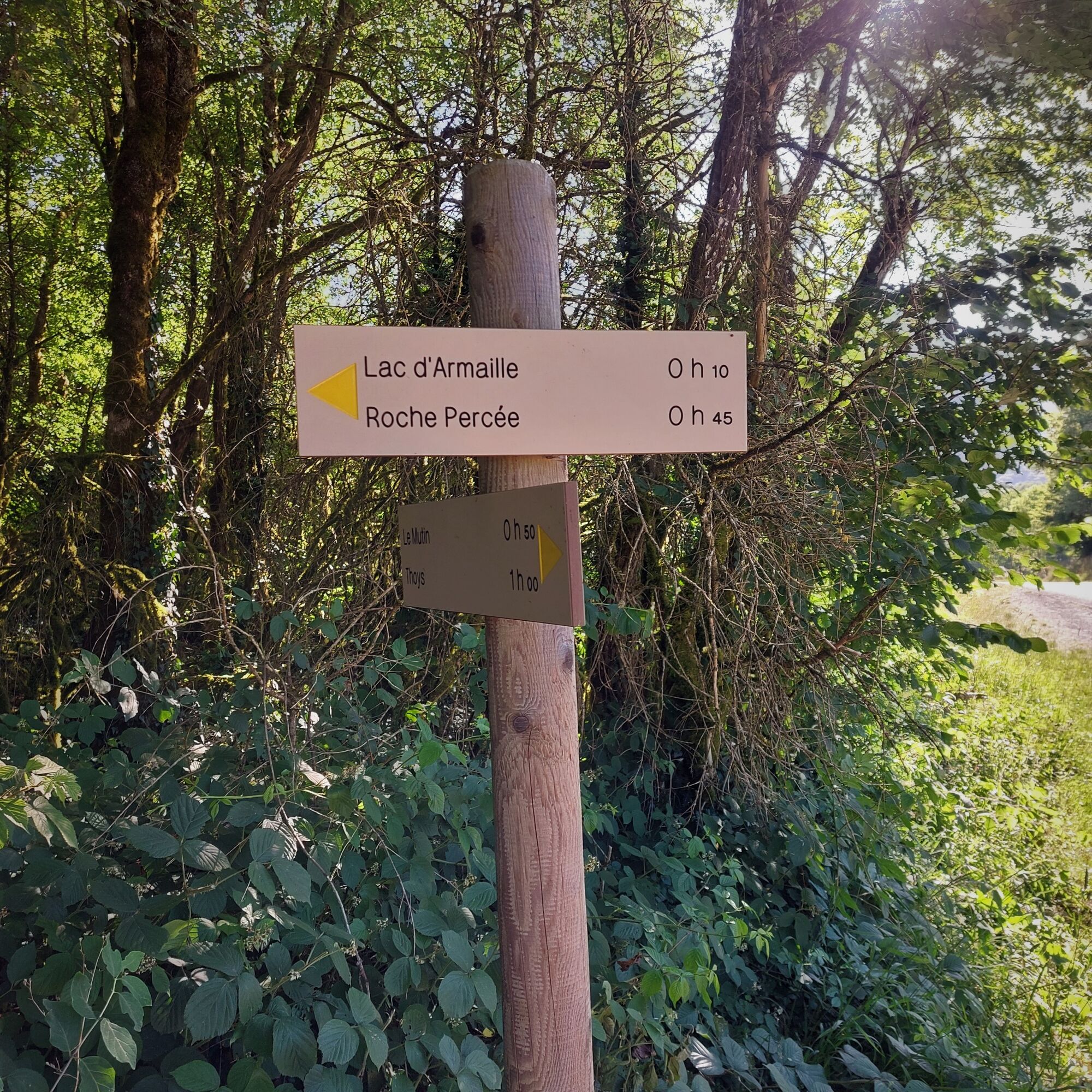

Follow the red marker number 5.
Tak
Tak
It is highly recommended to have a water bottle, helmet, mobile phone and a repair kit.
There are no difficult passages, please respect the mountain biker's charter.
Defective markings, incidents / safety, conflicts of use, illegal dumping? : locate and share the problem encountered on the national alert system through the SURICATE app or via the website https://sentinelles.sportsdenature.fr/
Highways from Lyon:
A42, exit 8: Ambérieu-en-Bugey
A43, exit 10 Les Abrets
Departmental roads
D 1504 from Ambérieu-en-Bugey
D 992 from Chambéry
Find detailed access possibilities for the start by clicking this link.
Several parking lots are available all year round, including the high school parking located 2 minutes from the start at the end of Rue du 5ème Rtm.
S1
APIDAE Tourism data updated on 04/07/2023 by "Office de Tourisme Bugey Sud Grand Colombier".
An error on this sheet? Write to the owner by mentioning these references:
Sheet name: Mountain Bike Route 5: Lake Armaille | Sheet ID: 527320 | URL (link) of this Outdooractive page.
Tourist Office Tips.
Bicycle rental and repair is available at Allo Repair in Belley.
After the effort, the comfort, enjoy the best tables in the city of Brillat-Savarin at the Brasserie Le Café Neuf and Brasserie des Terreaux in the city center.
This route starting from the capital of Bugey quickly escapes the streets of Belley to find the calm of the forests, lakes, and unique villages of southern Bugey.
This route is part of the "Ain Outdoor" selection.
Popularne wycieczki w okolicy
-
5,0
Hike : Tour du Mont de Cordon
światłoWędrówka 7,16 km -
Trail along the water (Sentier de l'eau)
średniTrasa tematyczna 7,28 km -
1,0
Hike of the Clairefontaine waterfall
światłoWędrówka 5,46 km -
5,0
Hike: Barterand lake
światłoWędrówka 7,23 km -
Cycling tour : Marshes and vineyards in Bugey
światłoDroga rowerowa 33,1 km -
Hike : Armaille Lake
światłoWędrówka 9,42 km -
Hike starting from Parves-et-Nattages: le circuit du Sorbier
światłoWędrówka 11,4 km -
MTB track 1 green - Rothonne forest: Le Renard - Espace FFC Ain Forestière
światłoMountainbike 4,93 km -
Hike : Lake and vineyards
światłoWędrówka 9,76 km -
Cycling route : L'ecluse
światłoDroga rowerowa 32,7 km
Wędrówki i tropienie


Nie przegap ofert i inspiracji na następne wakacje
Twój adres e-mail została dodana do listy mailingowej.





