







Cycling route : L'ecluse
Poziom trudności: 1
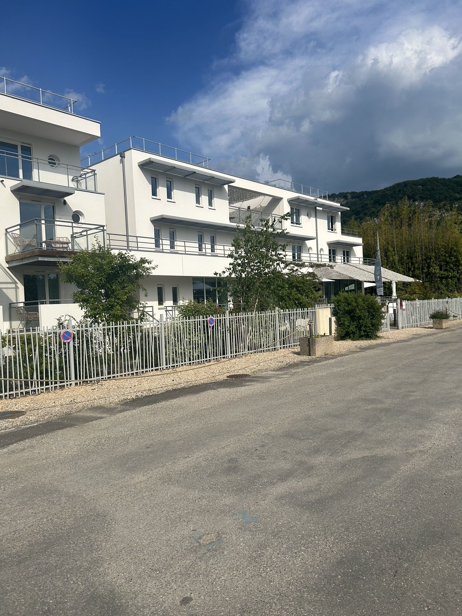
To discover along the route: Belley, capital of Bugey, the wine village of Massignieu-de-Rives with its marina, Lucey and its castle, and Chanaz, the little Venetian town of Savoy.

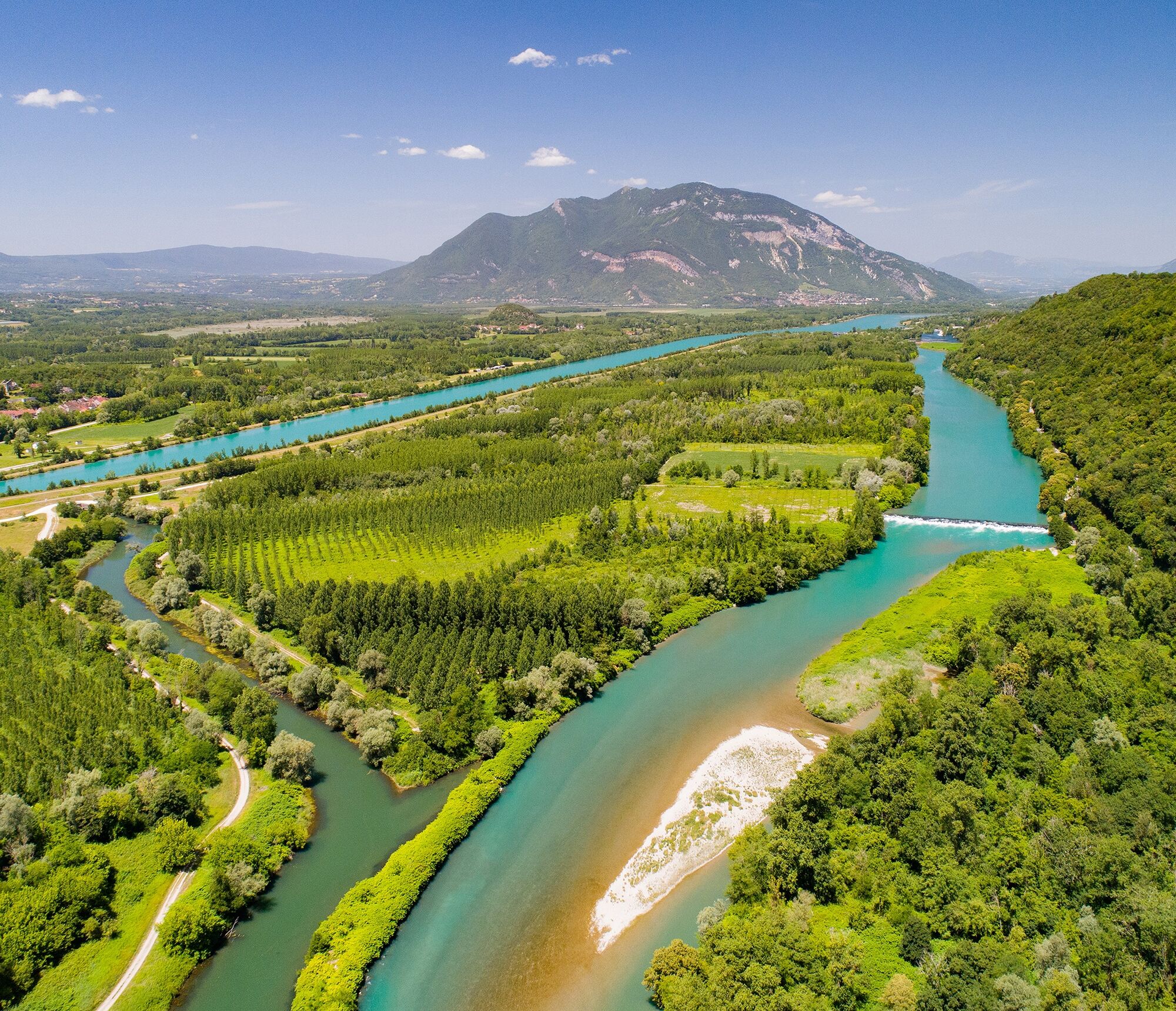
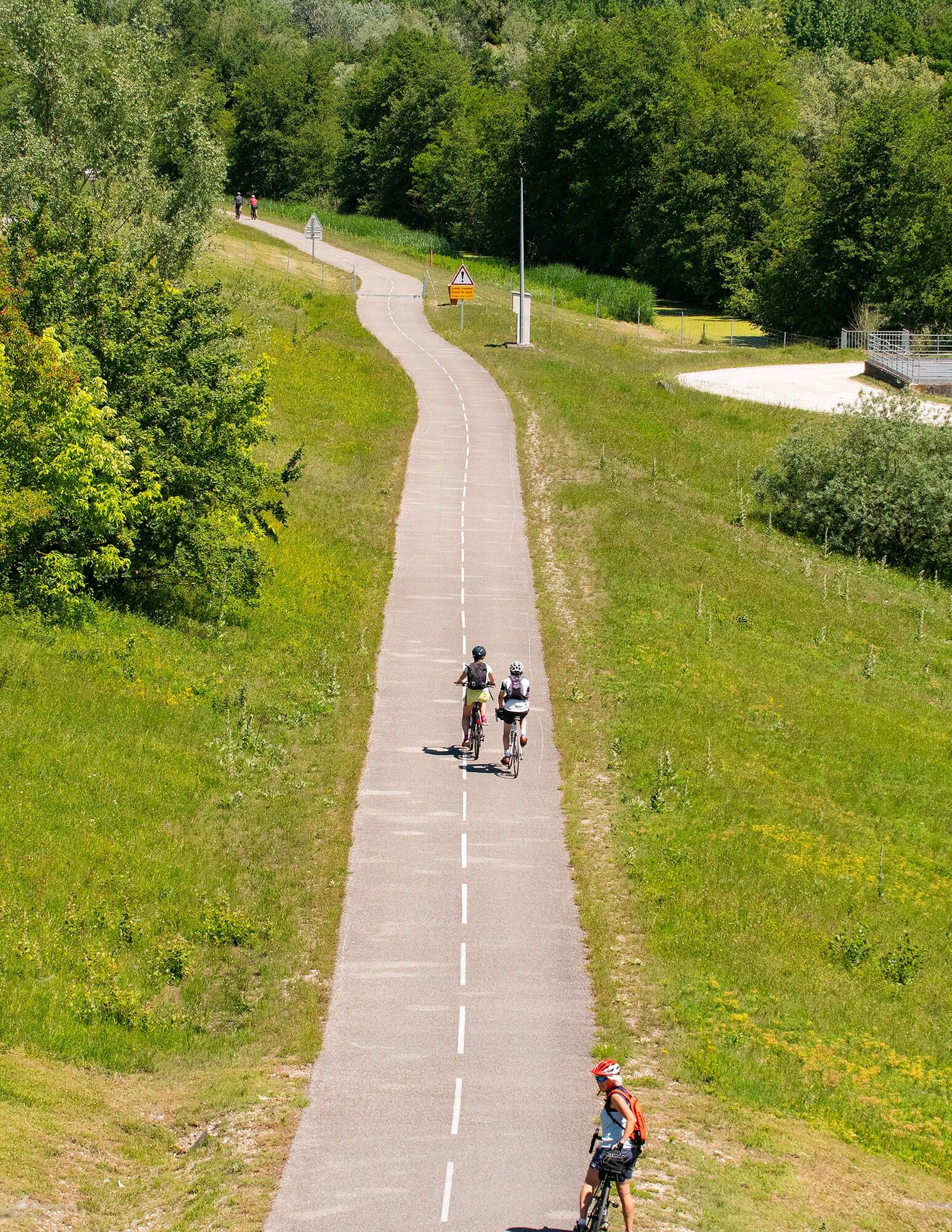
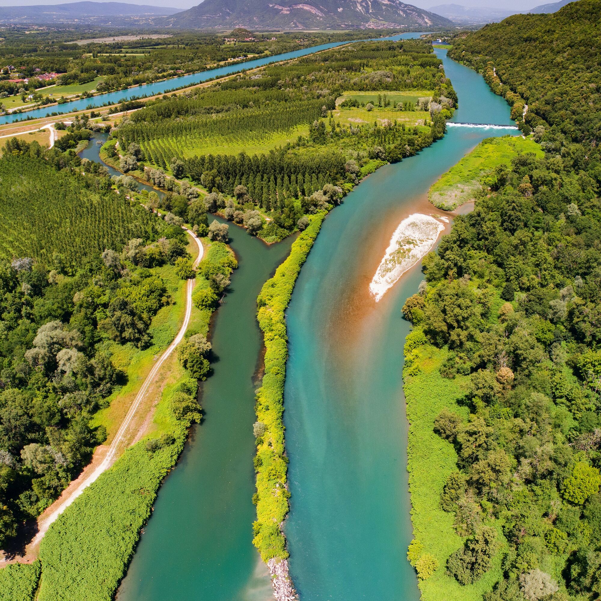
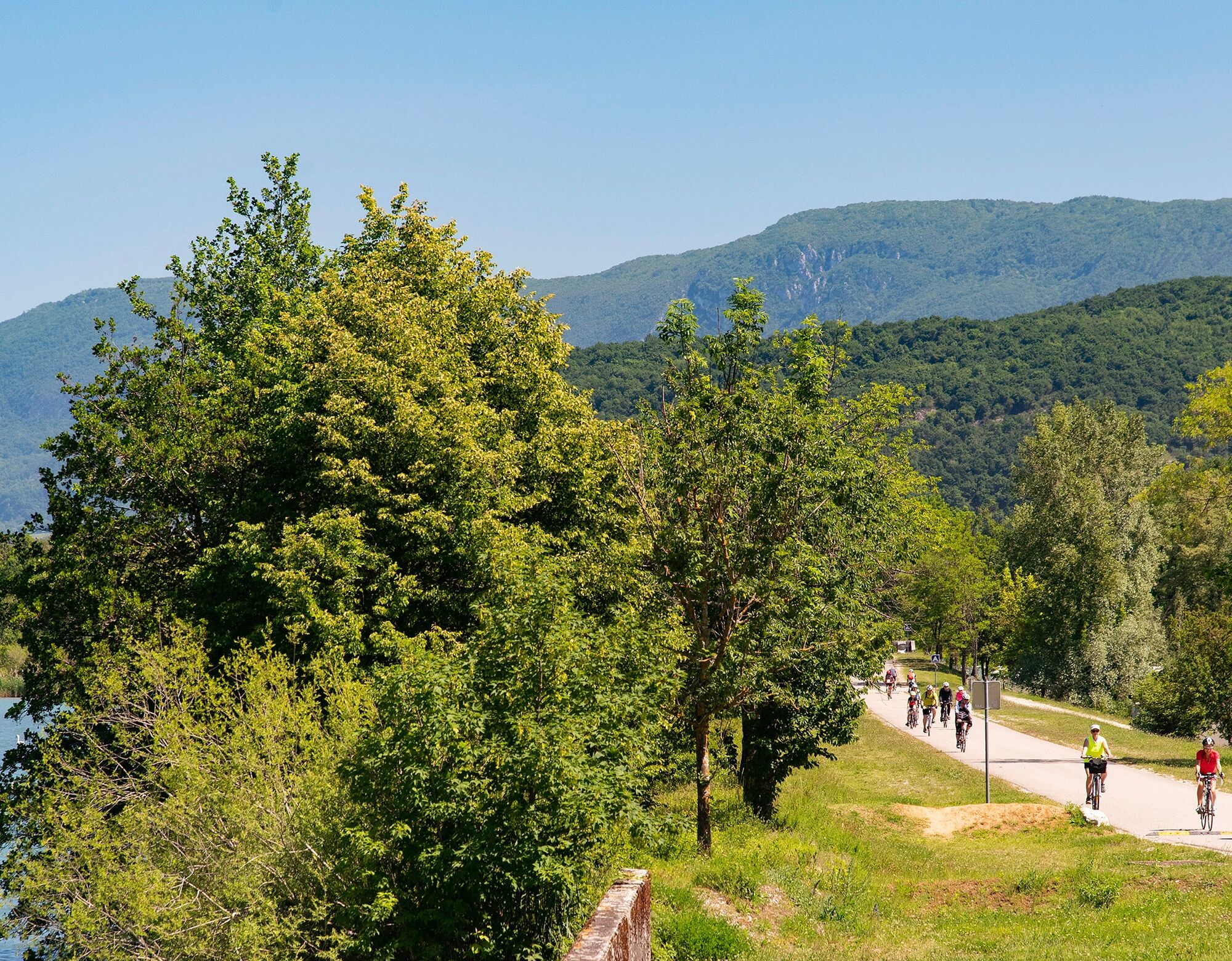
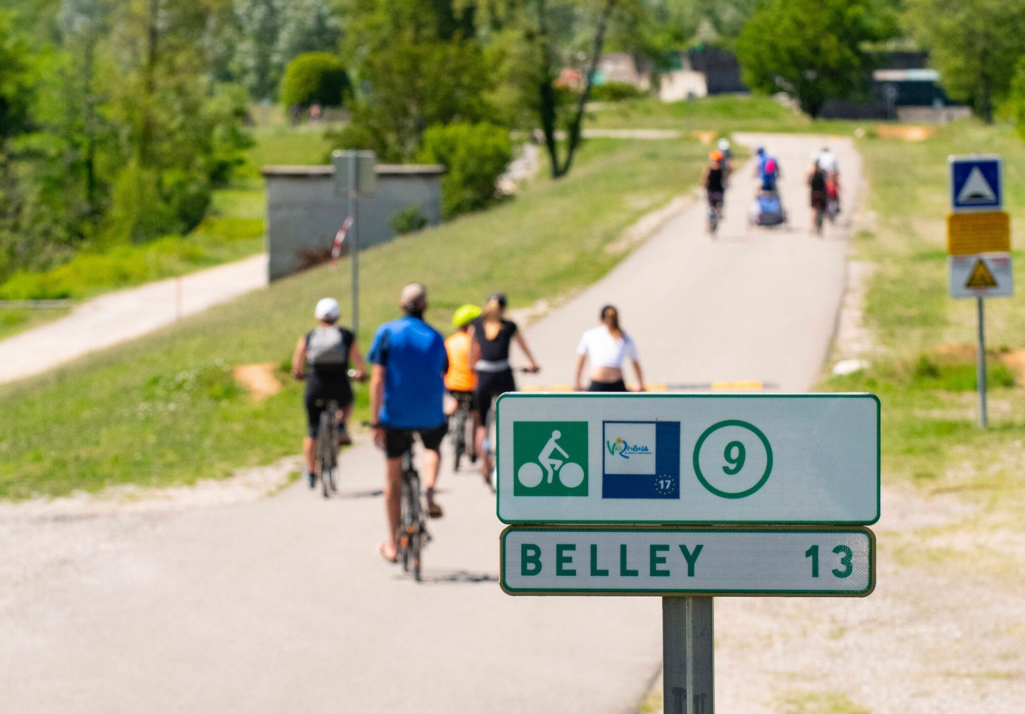
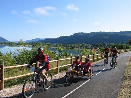

Join the ViaRhona from the center of Belley, then follow it upstream to Chanaz.
Tak
It is recommended to have a suitable bike in good condition, enough water, a helmet, as well as repair tools.
Rental available in Belley.
– I respect nature and the environment
– I am properly insured and adapt my behavior to traffic conditions
– I maintain a safe distance from the cyclist ahead, I see and am seen
– I ride without compromising my own safety or that of other road users
– I know the emergency call procedure in case of bodily injury
– I choose a route that matches my physical abilities
– I apply the Highway Code to ride safely on a bicycle
– I use a bicycle that is properly equipped and in perfect mechanical condition
Highways from Lyon:
A42, exit 8: Ambérieu-en-Bugey
A43, exit 10 Les Abrets
Departmental roads
D 1504 from Ambérieu-en-Bugey
D 992 from Chambéry
Find detailed access options from the start by clicking this link.
Several car parks are accessible all year round, including the high school car park located 2 minutes from the start at the end of Rue du 5ème Rtm.
1
An error on this sheet? Write to the owner quoting these references:
Sheet name: Bike route: The Lock | Sheet ID: 424962 | URL of this page Outdooractive.
Easy and safe small loop starting from Belley, mainly using dedicated paths.
Only the section between Chanaz and Massignieu-de-Rives does not have a portion reserved for cyclists.
Uzyskaj wgląd
Zawsze na żywo z ponad 9 500 kamer internetowych. bergfex Jako użytkownik Pro, możesz teraz zobaczyć odpowiednie kamery internetowe dla wielu wycieczek w aplikacji wycieczki od. Pozwala to na bezpośredni podgląd aktualnych warunków.
Popularne wycieczki w okolicy
-
3,0
Hike: on the ridge of the Grand Colombier (circuit des crêtes)
średniWędrówka 11,3 km -
1,0
Hike of the Clairefontaine waterfall
światłoWędrówka 5,46 km -
5,0
Hike: Barterand lake
światłoWędrówka 7,23 km -
Cycling tour : Marshes and vineyards in Bugey
światłoDroga rowerowa 33,1 km -
Hike: A wolf life.
światłoWędrówka 7,22 km -
Hike : Armaille Lake
światłoWędrówka 9,42 km -
Hike starting from Parves-et-Nattages: le circuit du Sorbier
światłoWędrówka 11,4 km -
Hike: mountain pastures of the Grand Colombier
średniWędrówka 5,23 km -
Hike of the Grand Colombier starting from Munet
ciężkiWędrówka 16,0 km -
MTB track 1 green - Rothonne forest: Le Renard - Espace FFC Ain Forestière
światłoMountainbike 4,93 km
Wędrówki i tropienie


Nie przegap ofert i inspiracji na następne wakacje
Twój adres e-mail została dodana do listy mailingowej.





