


MTB track 2 blue - Rothonne forest: Le Cerf - Espace FFC Ain Forestière
Poziom trudności: S1
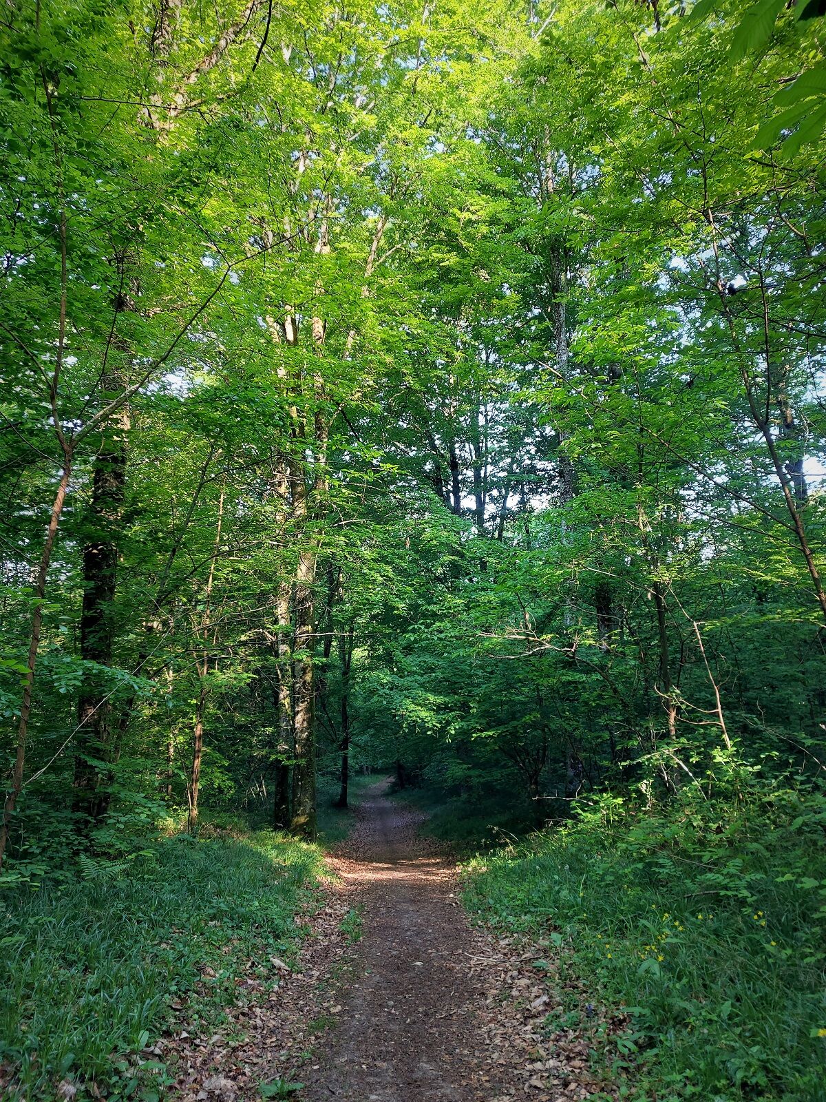
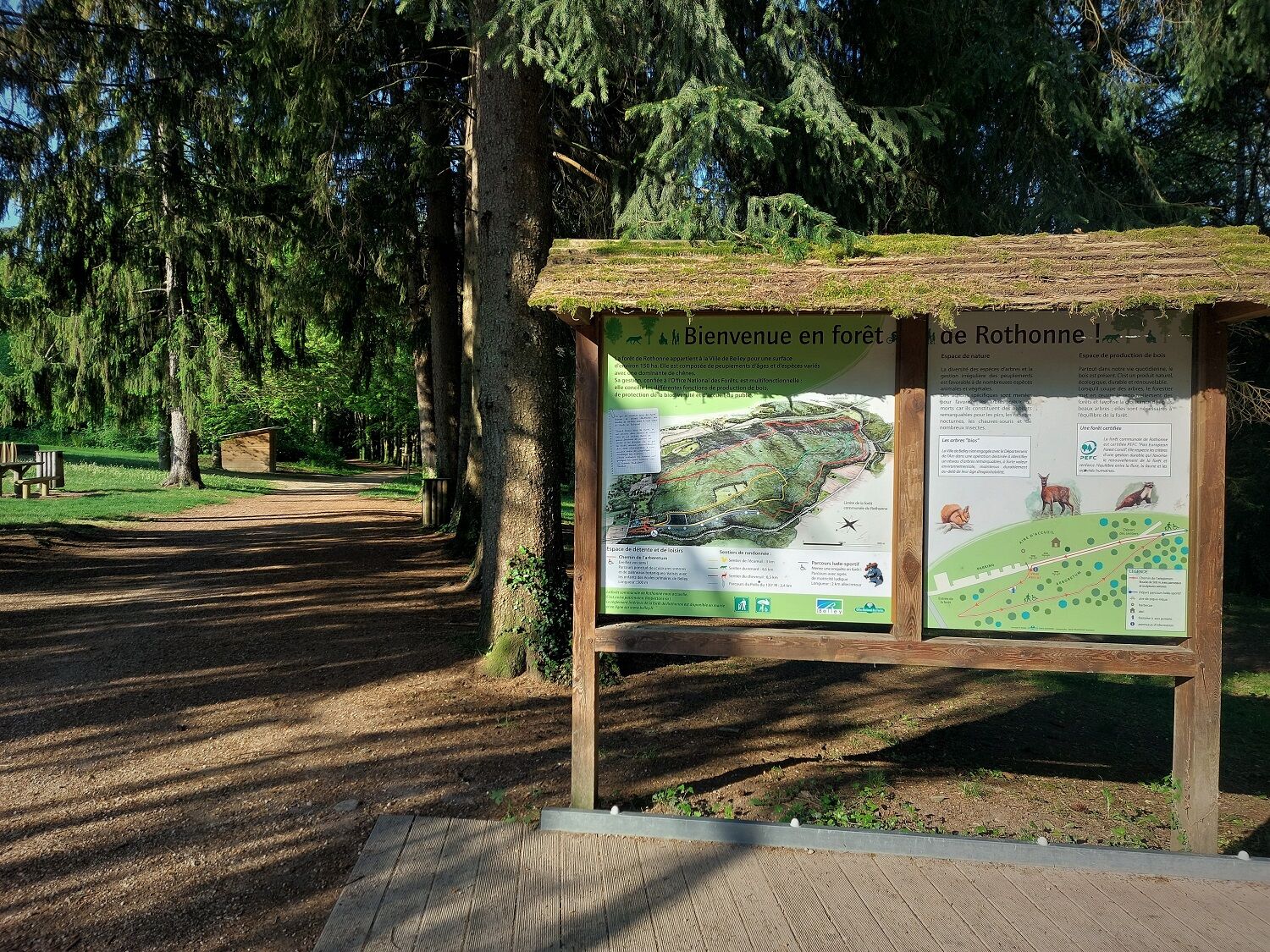
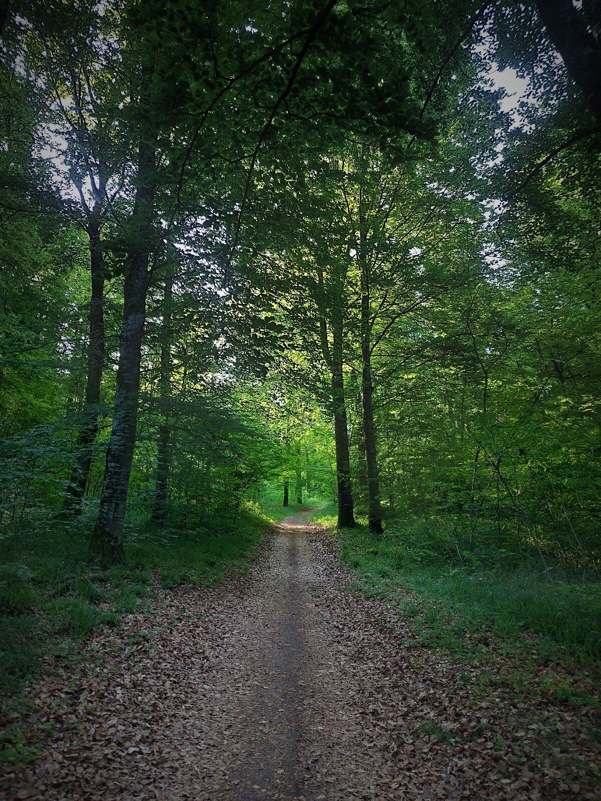
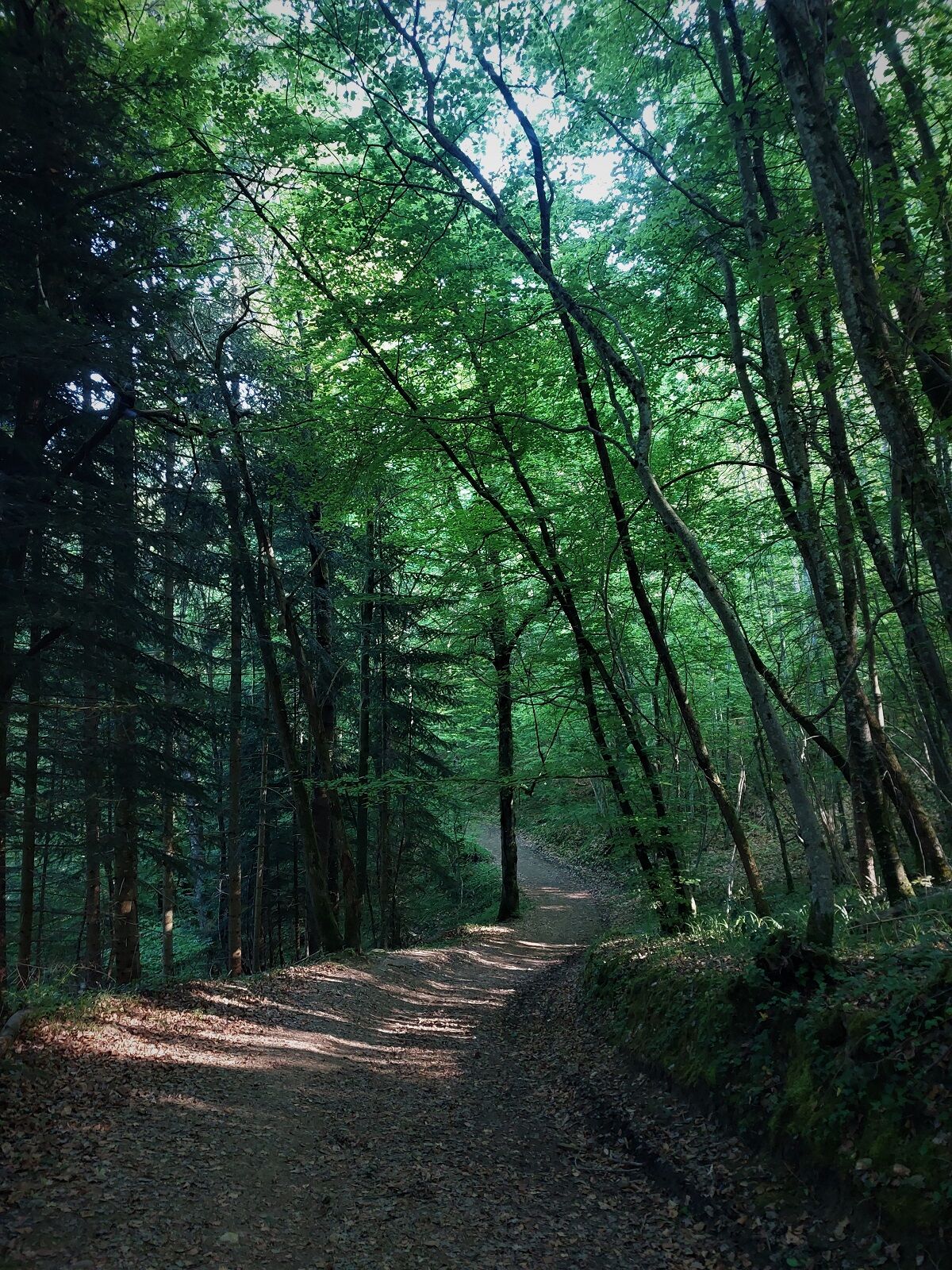
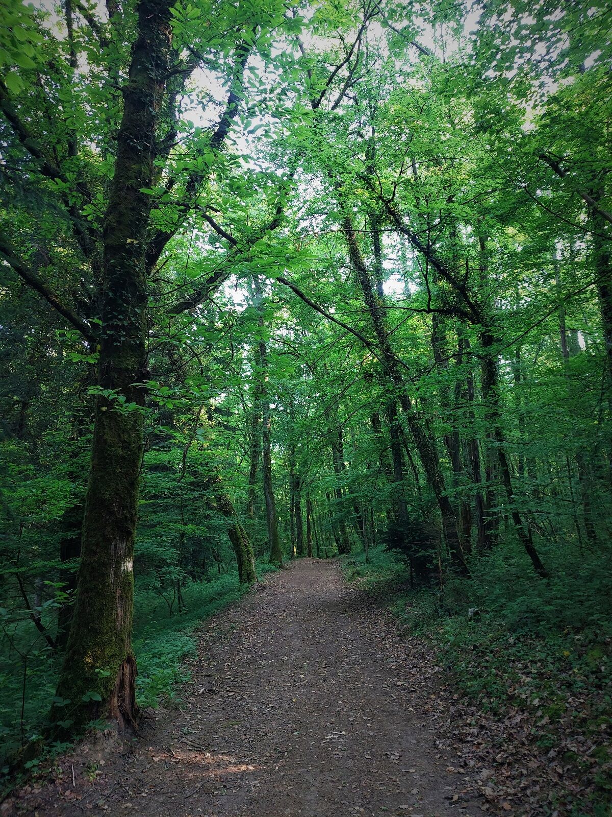
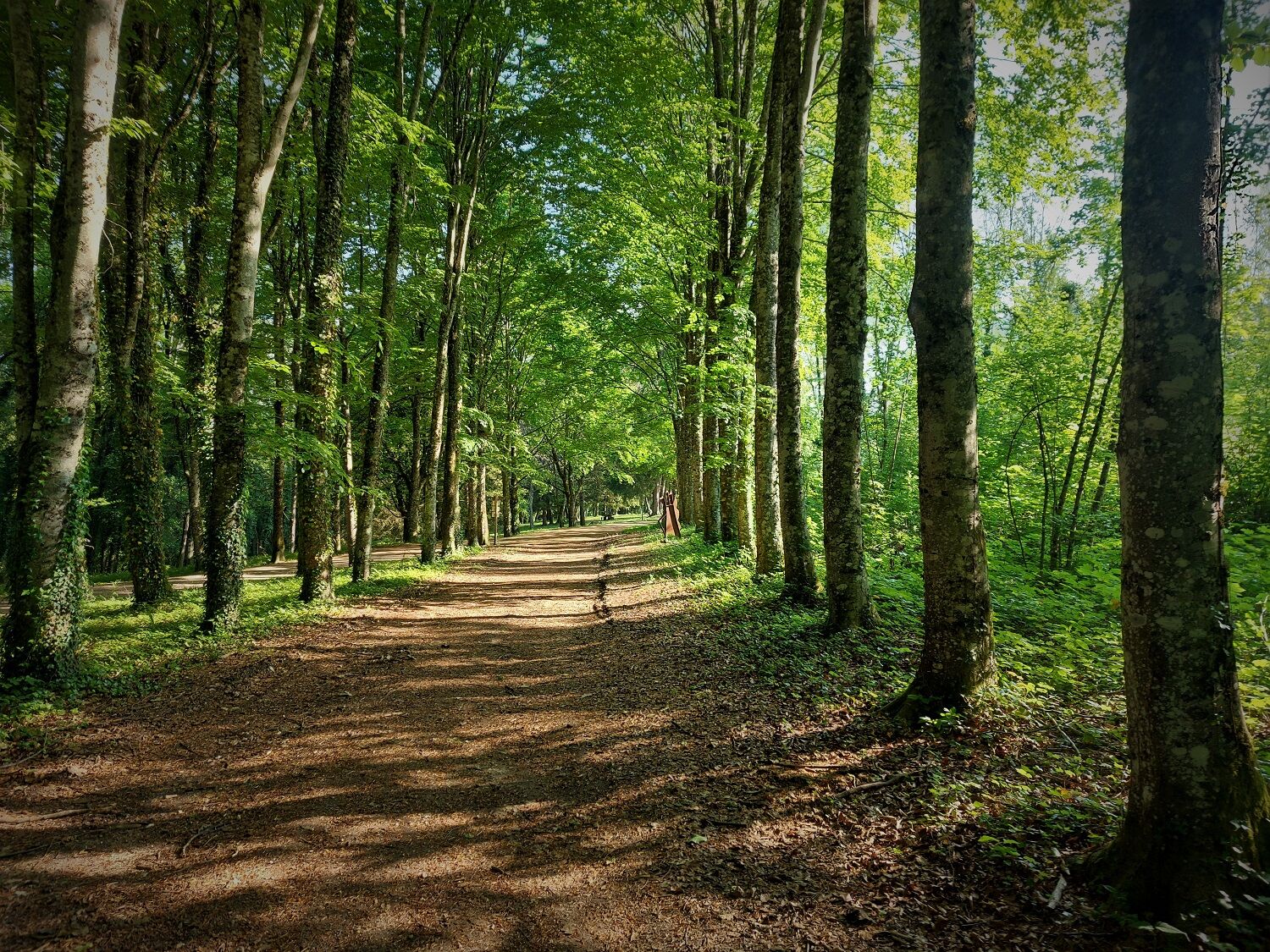
The various circuits of the Rothonne forest are perfectly suited to learning mountain biking. In complete safety, they allow you to discover the handling and maneuverability of the bike on loops of different...
The ground can be very greasy after heavy rains.

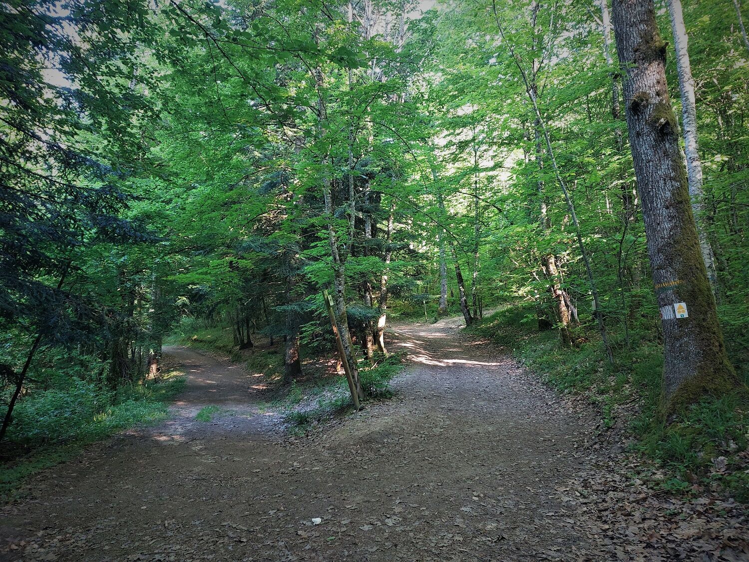
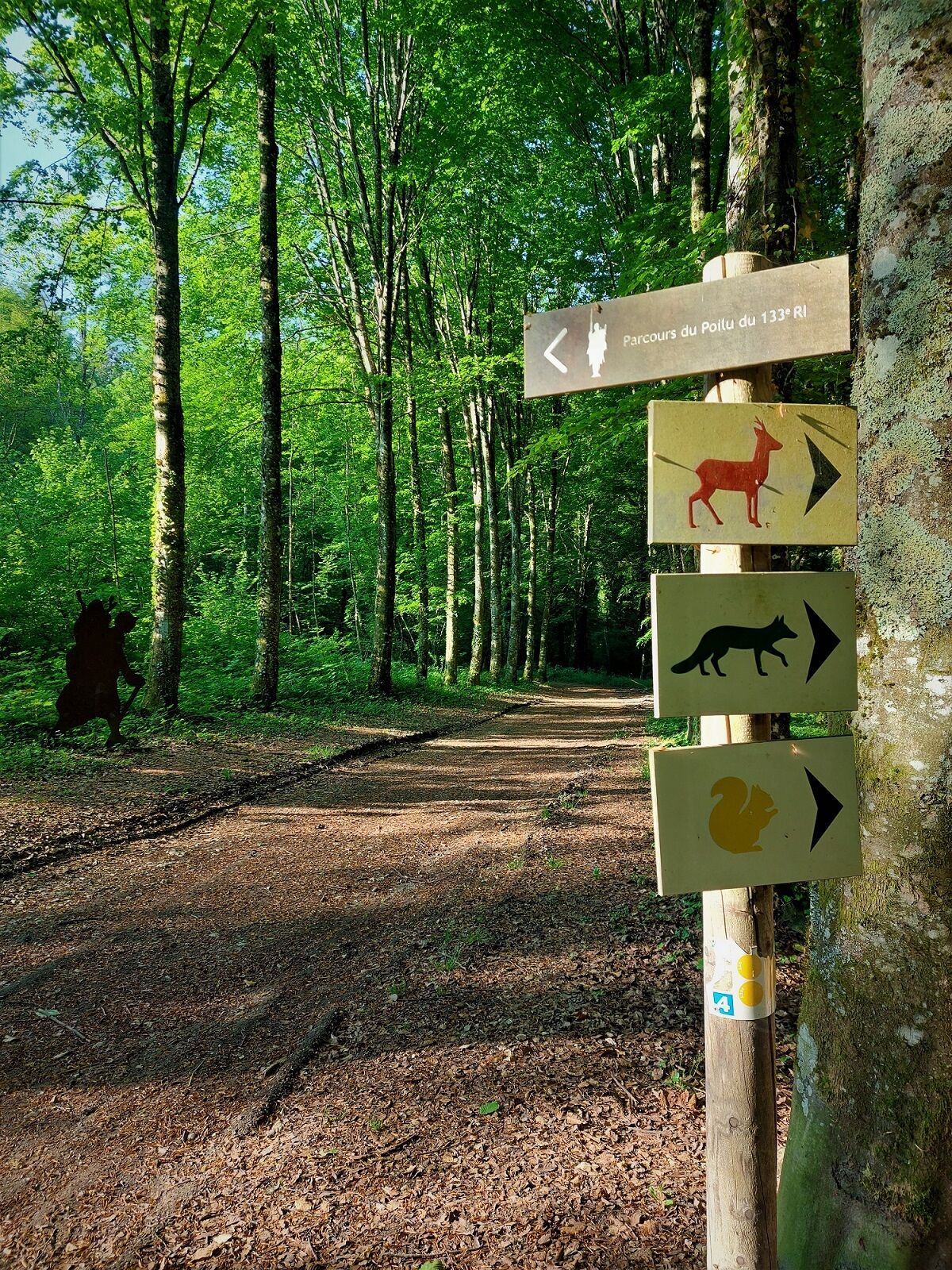
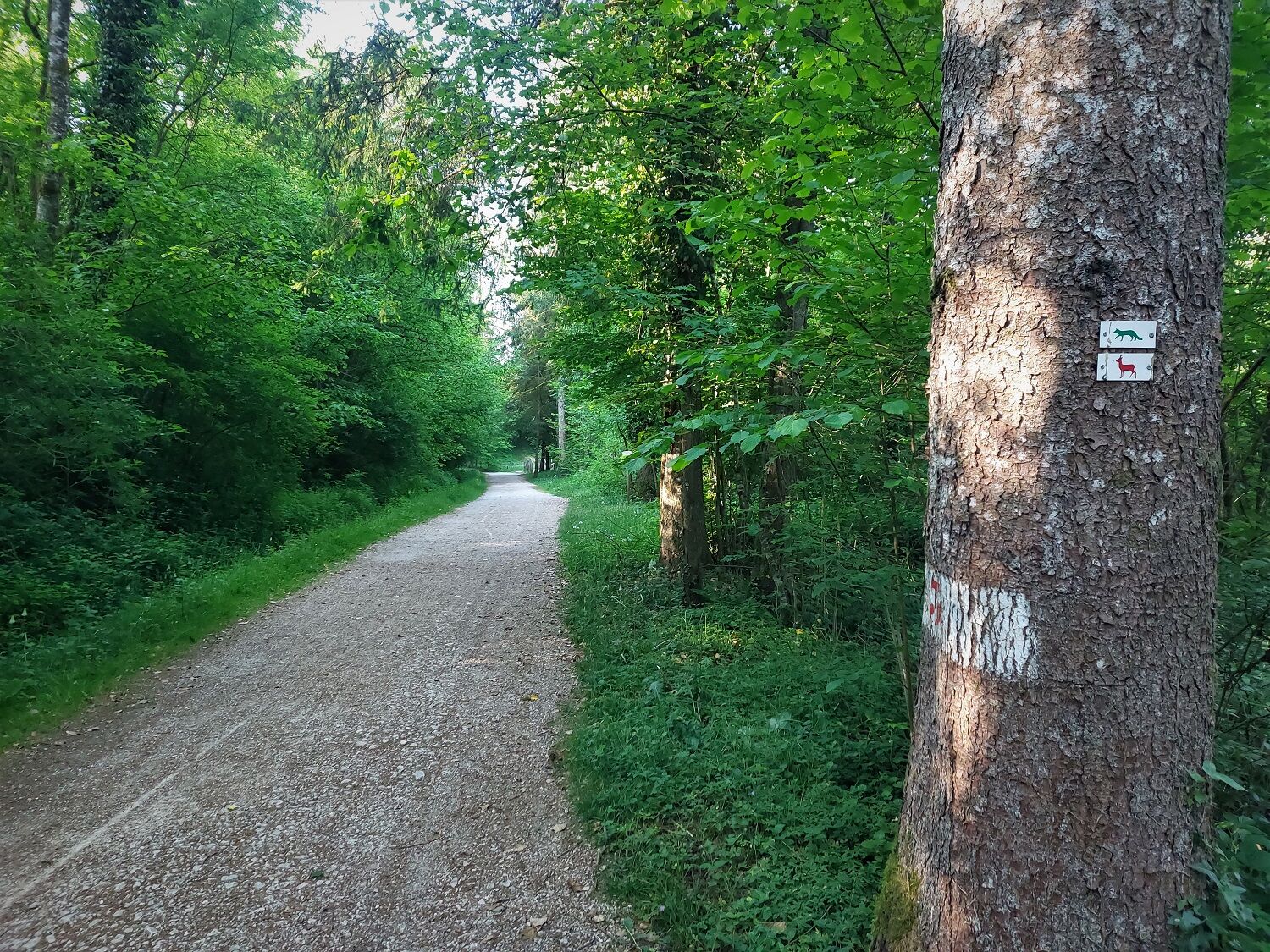
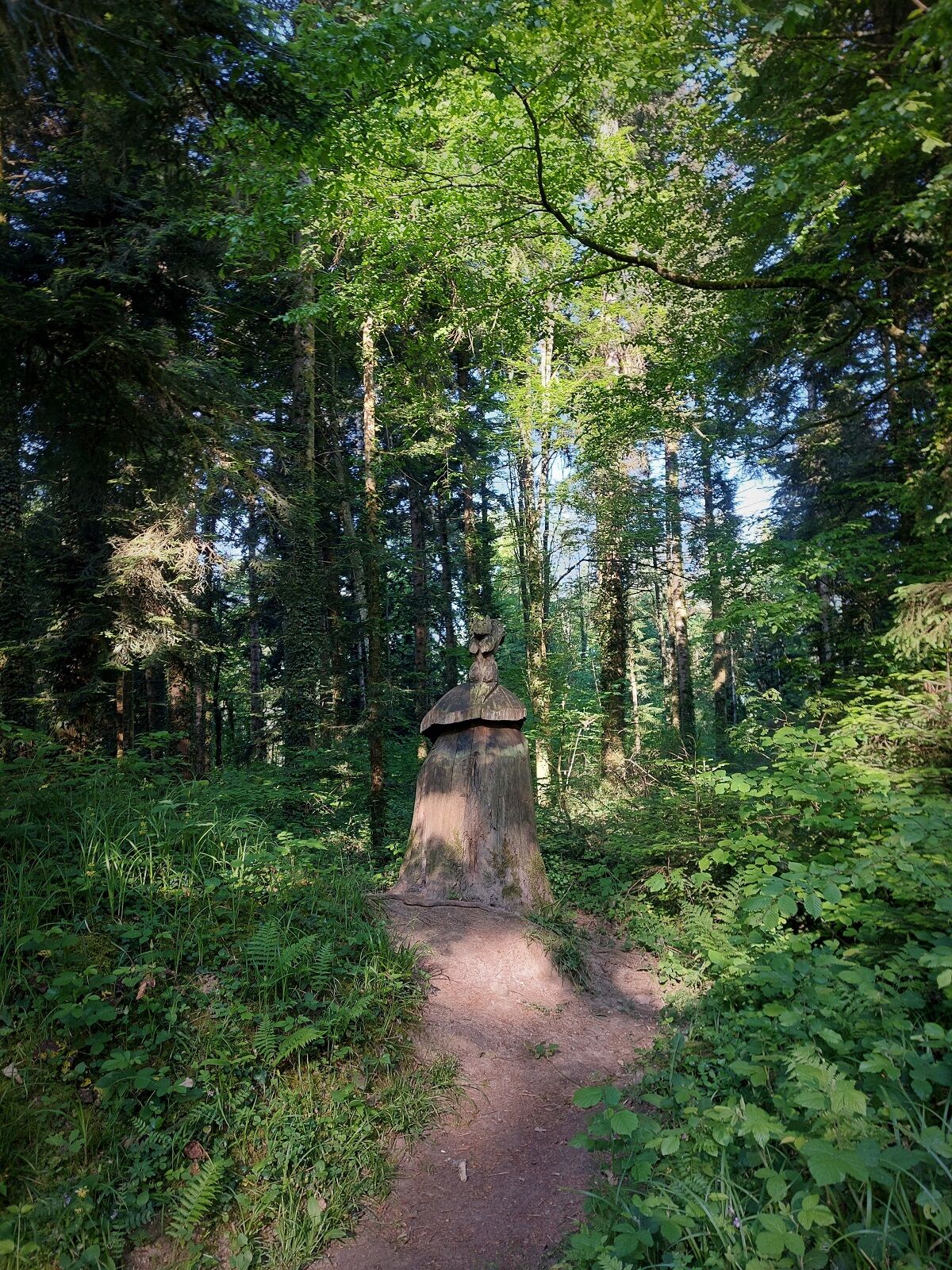
Follow the stag markings, and the blue number 2 starting from the Rothonne forest.
Tak
It is highly recommended to have a water bottle, a helmet, a mobile phone, and a repair kit.
There are no tricky sections; some descents require good speed control and trajectory management. The paths can be very muddy after rain.
Defective signage, incidents / safety, usage conflicts, illegal dumping? : locate and share the issue encountered on the national alert system via the SURICATE app or through the site https://sentinelles.sportsdenature.fr/
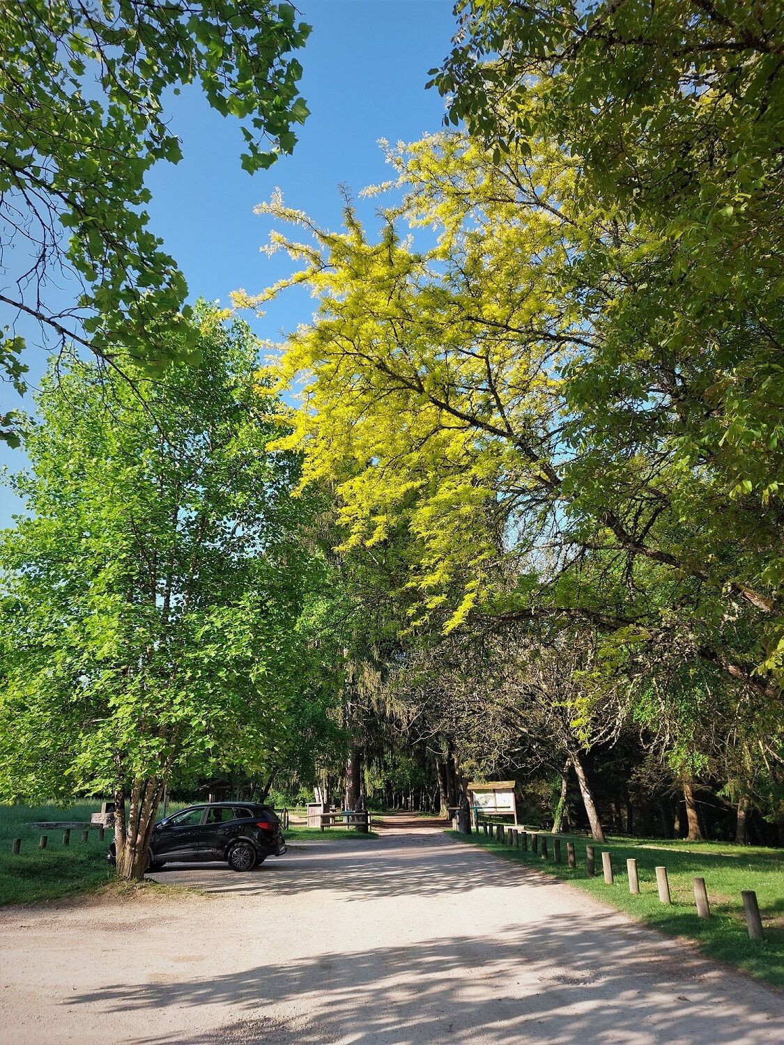
Access is via the D992 from Belley.
The Rothonne forest is not directly accessible by public transport.
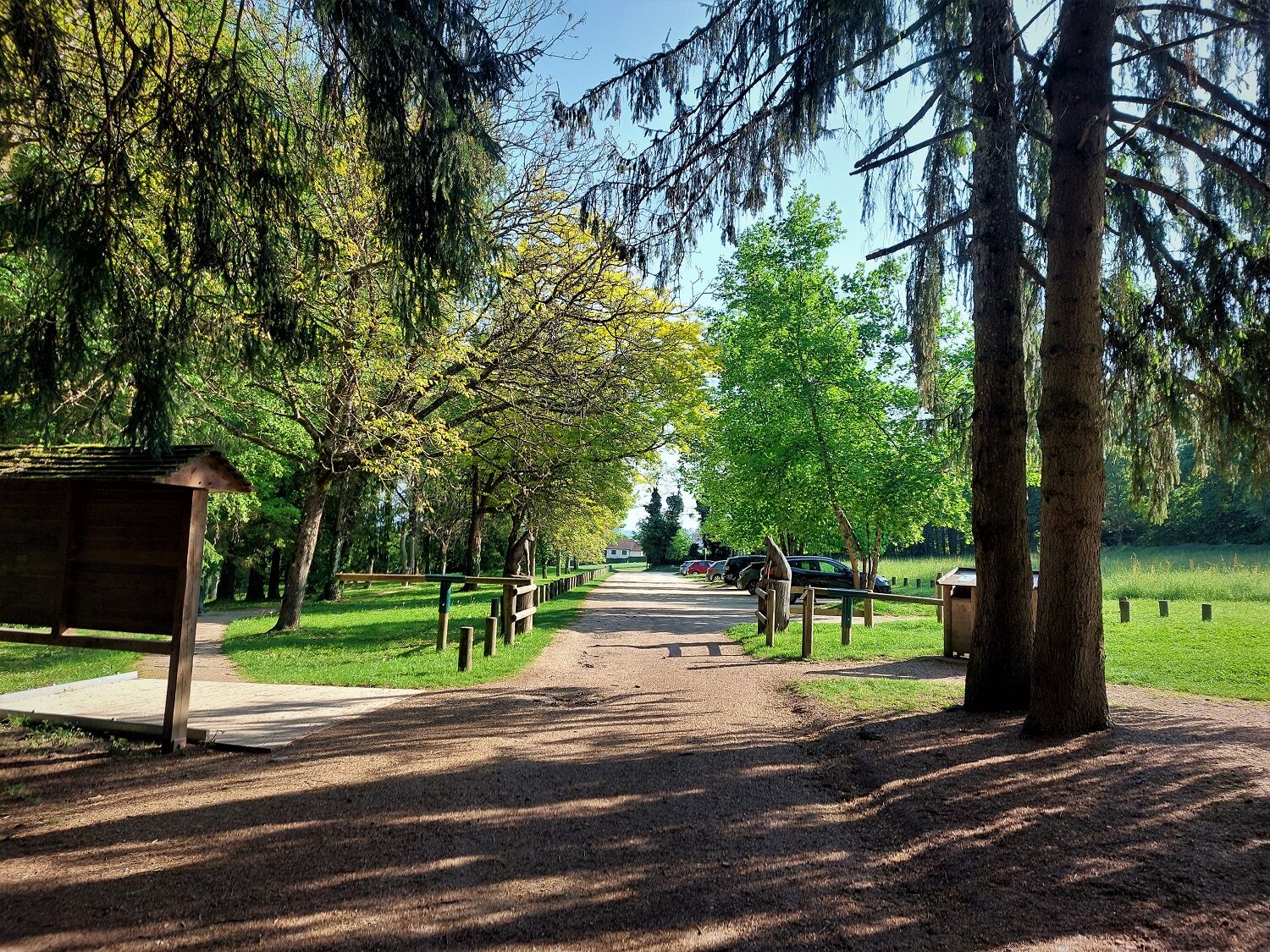
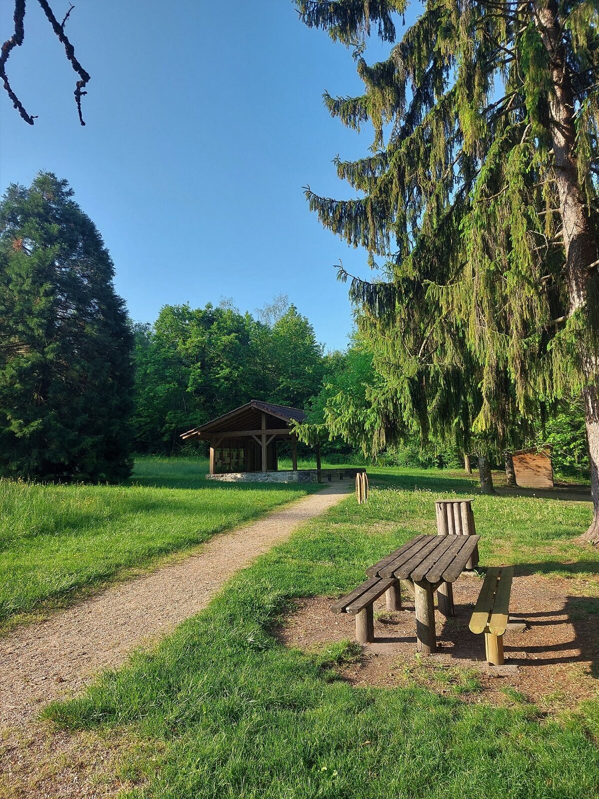
Parking is possible at the entrance of the Rothonne forest.
S1
APIDAE Tourism data updated on 09/13/2022 by "Office de Tourisme Bugey Sud Grand Colombier".
An error on this sheet? Write to the owner referencing these details:
Sheet name: Mountain Bike Route 2. Rothonne Forest: The Stag | Sheet ID: 527295 | URL (link) of this Outdooractive page.
Mountain bike and electric mountain bike rental available in Belley at Allo Réparation.
The 3 different routes in the Rothonne forest all have different physical and technical difficulty levels.
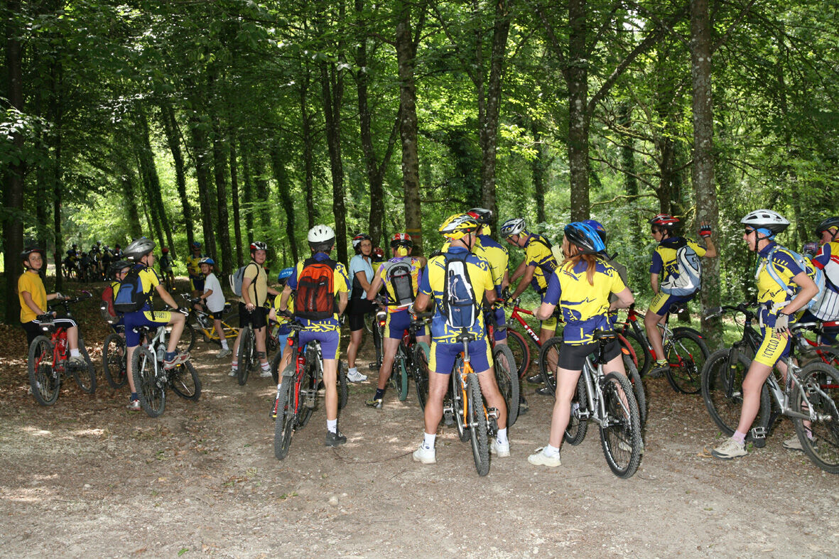
These routes are perfectly suited for mountain biking for young riders.
This route is part of the "Ain Outdoor" selection.
Popularne wycieczki w okolicy
-
5,0
Hike : Tour du Mont de Cordon
światłoWędrówka 7,16 km -
Trail along the water (Sentier de l'eau)
średniWędrówka 7,28 km -
1,0
Hike of the Clairefontaine waterfall
światłoWędrówka 5,46 km -
4,0
Hike: Montagne de Saint-Benoit
ciężkiWędrówka 12,5 km -
Hike : Armaille Lake
światłoWędrówka 9,42 km -
Cycling tour : Marshes and vineyards in Bugey
światłoDroga rowerowa 33,1 km -
Hike starting from Parves-et-Nattages: le circuit du Sorbier
światłoWędrówka 11,4 km -
Hike : Lake and vineyards
światłoWędrówka 9,76 km -
MTB track 1 green - Rothonne forest: Le Renard - Espace FFC Ain Forestière
światłoMountainbike 4,93 km -
5-MTB trail - Lac d'Armaille - Espace FFC Ain Forestière
ciężkiMountainbike 26,7 km
Wędrówki i tropienie


Nie przegap ofert i inspiracji na następne wakacje
Twój adres e-mail została dodana do listy mailingowej.