







Hop Trail

Poziom trudności: T1
The hike begins at Stammheim station with the first stop at the restaurant La Stazione. The first beer is accompanied by a fine Italian specialty before the circular route starts. Following the path, you...
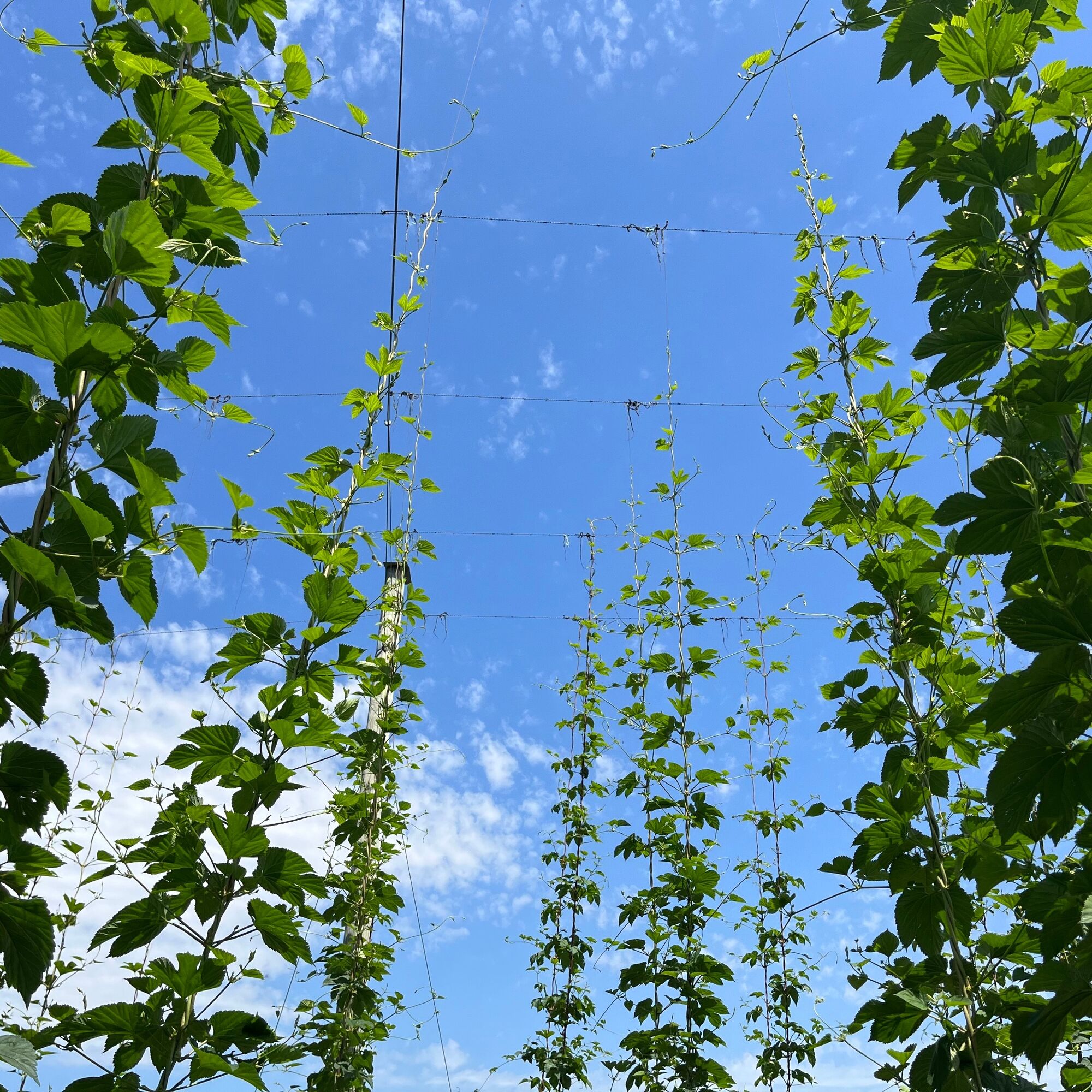
The hike begins at Stammheim station with the first stop at the restaurant La Stazione. The first beer is accompanied by a fine Italian specialty before the circular route starts. Following the path, you reach the next stop at the Stammheimer Hopfentropfen. Here, two special hop drinks and a fine hop sausage await. At the same time, you can discover up close on the hop educational trail how the green buds grow. Then it continues through the Stammertal, past lushly grown hop fields, to the family business Hopfengut. There, a cool hop ice cream and another matching beer specialty await. Finally, the path leads from Unterstammheim to Oberstammheim past idyllic half-timbered houses, blooming vineyards, and the picturesque Gallus Chapel to the historic Hirschen Stammheim. The hike finds its worthy conclusion here with a beer risotto and a matching beer.

You can reach Stammheim station from Winterthur/Stein am Rhein with the S29. From Andelfingen station, there is also a bus connection with bus 605 via Ossingen to Stammheim.
Parking spaces at Stammheim station
T1
Hinweis: Die alten Bierpfadschilder sind nicht mehr gültig. Bitte nutzt die Route auf outdooractive oder die Selbstausdruckkarte.
Popularne wycieczki w okolicy
-
4,6
Small Rheinfall Circular Route
światłoWędrówka 3,48 km -
5,0
Hike on the panorama route of the Höri Peninsula
średniWędrówka 8,11 km -
4,8
Rundwanderweg Rheinau
światłoWędrówka 6,85 km -
Circular hike Schaffhausen - Rhine Falls - Schaffhausen
średniWędrówka 10,0 km -
SwitzerlandMobility 896: Rhine Falls Circular Route
średniWędrówka 7,12 km -
3,7
Firstweg Langenmos
średniWędrówka 5,76 km -
Stein am Rhein - Hohenklingen Castle - Stein am Rhein
średniWędrówka 7,79 km -
5,0
"Hegauer Kegelspiel" Hohentwieler
średniWędrówka 7,21 km -
SchweizMobil 2: Rhine Route stage 6 (Kreuzlingen - Schaffhausen)
średniJazda na rowerze 47,0 km -
4,5
Circular hiking trail from Mammern on Lake Constance to the Neuburg ruins
światłoWędrówka 6,73 km
Wędrówki i tropienie


Nie przegap ofert i inspiracji na następne wakacje
Twój adres e-mail została dodana do listy mailingowej.





