





Mala Fatra hike
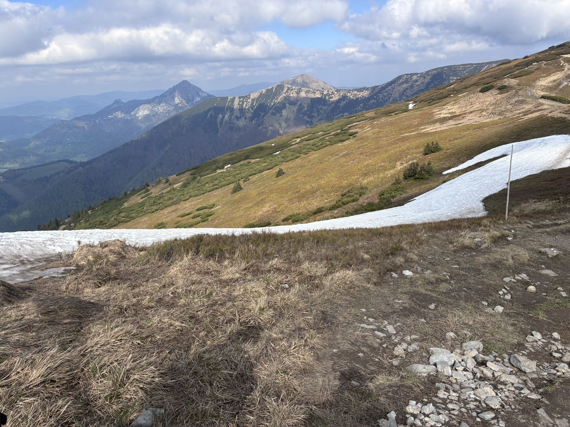
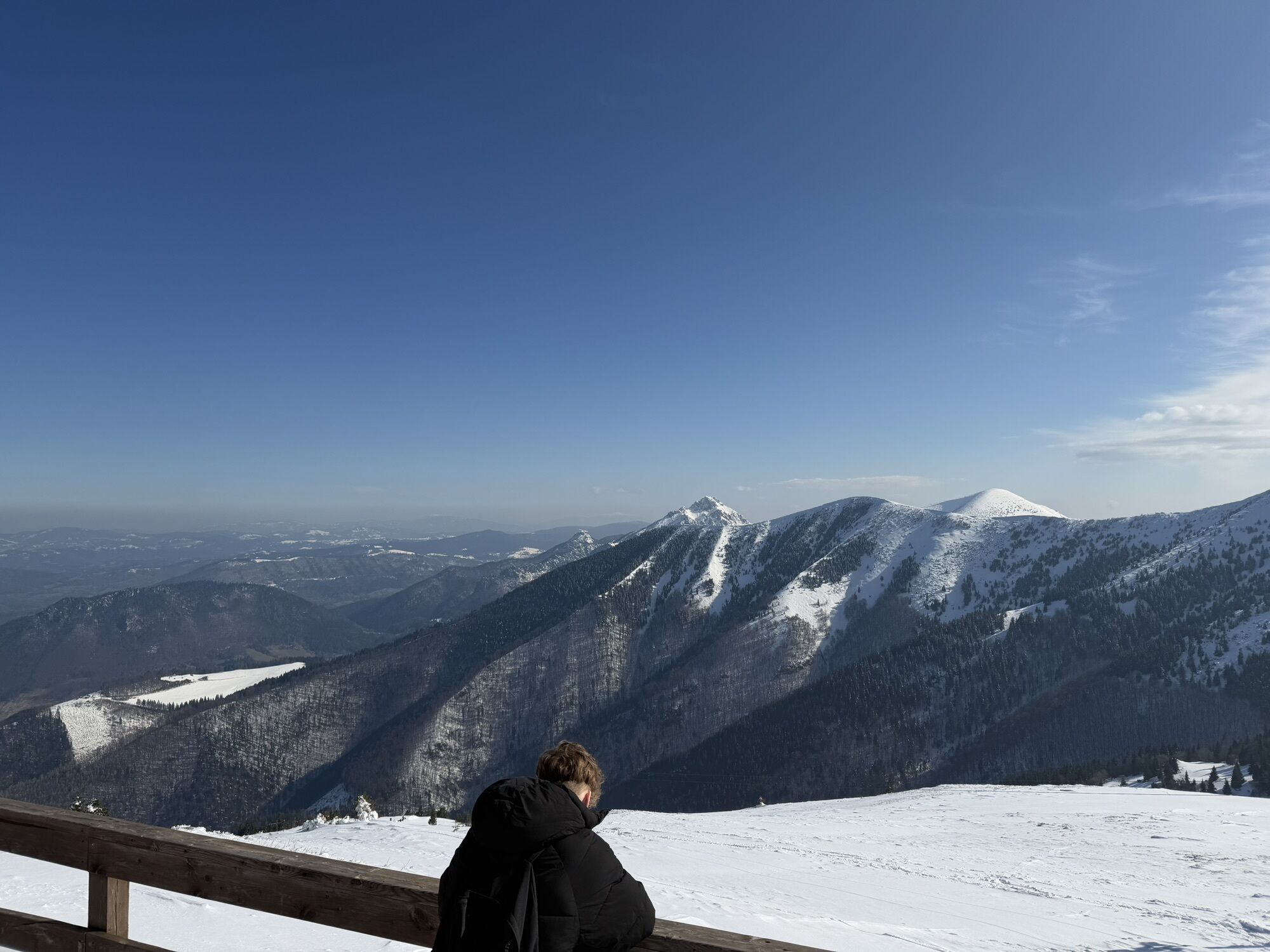

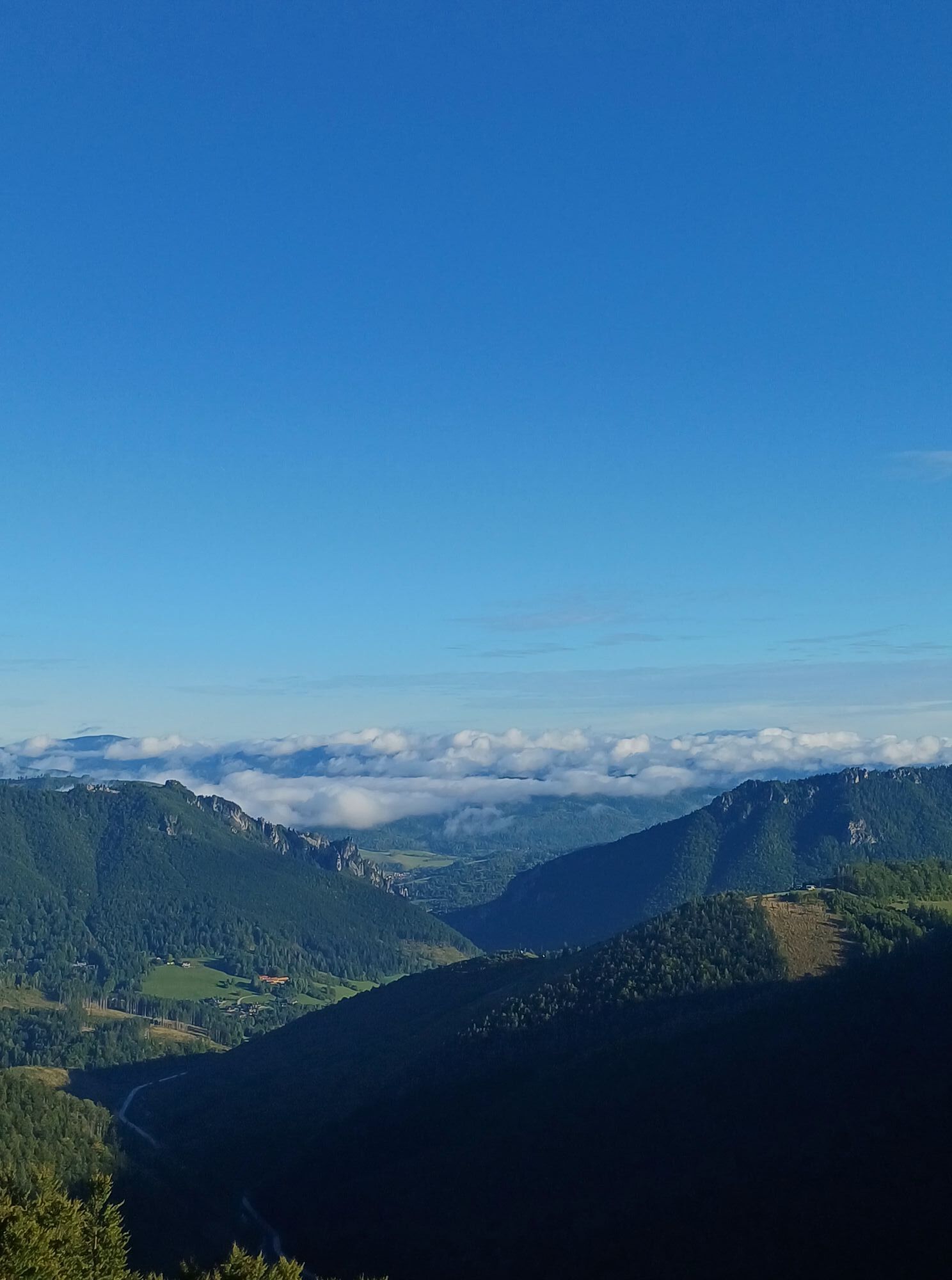

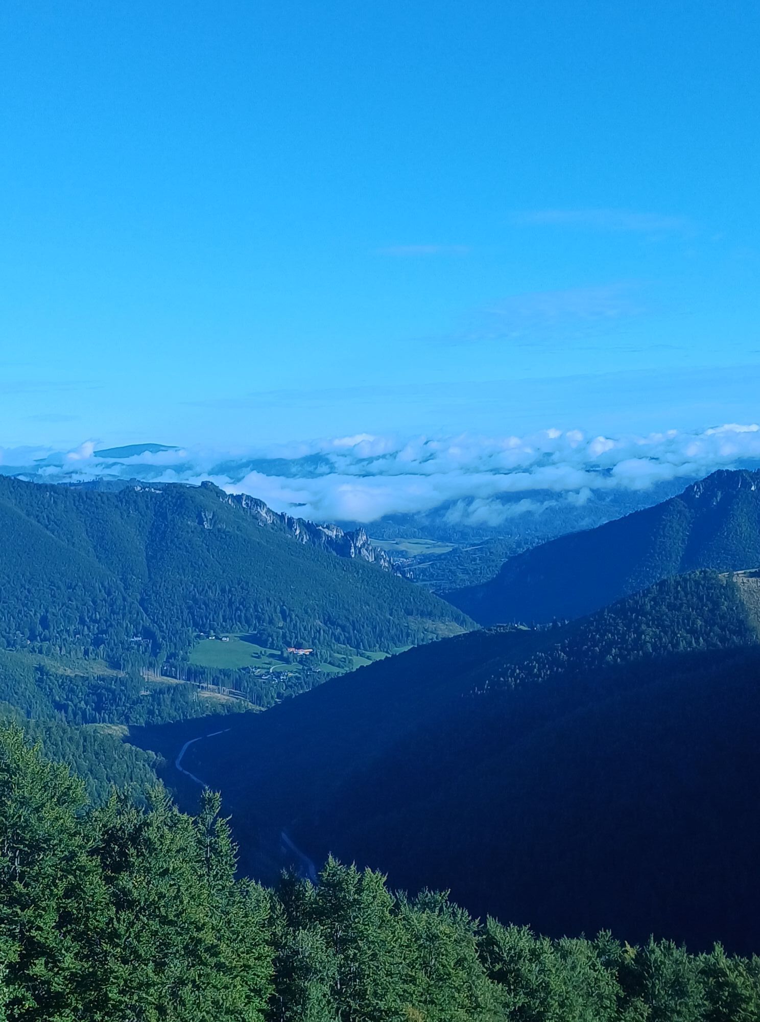
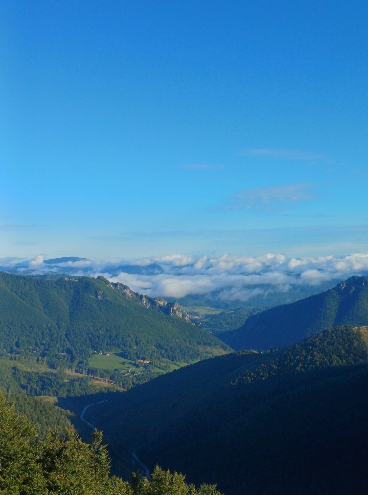
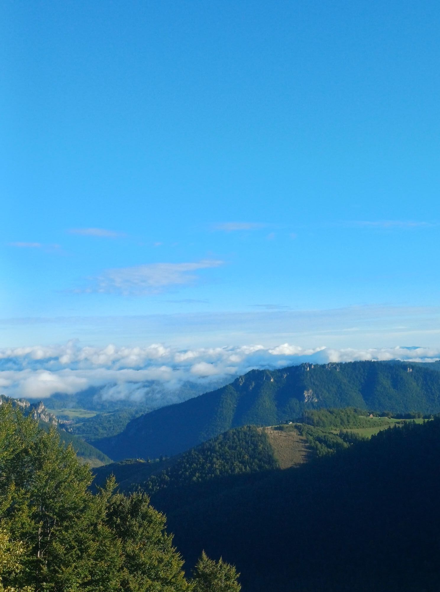
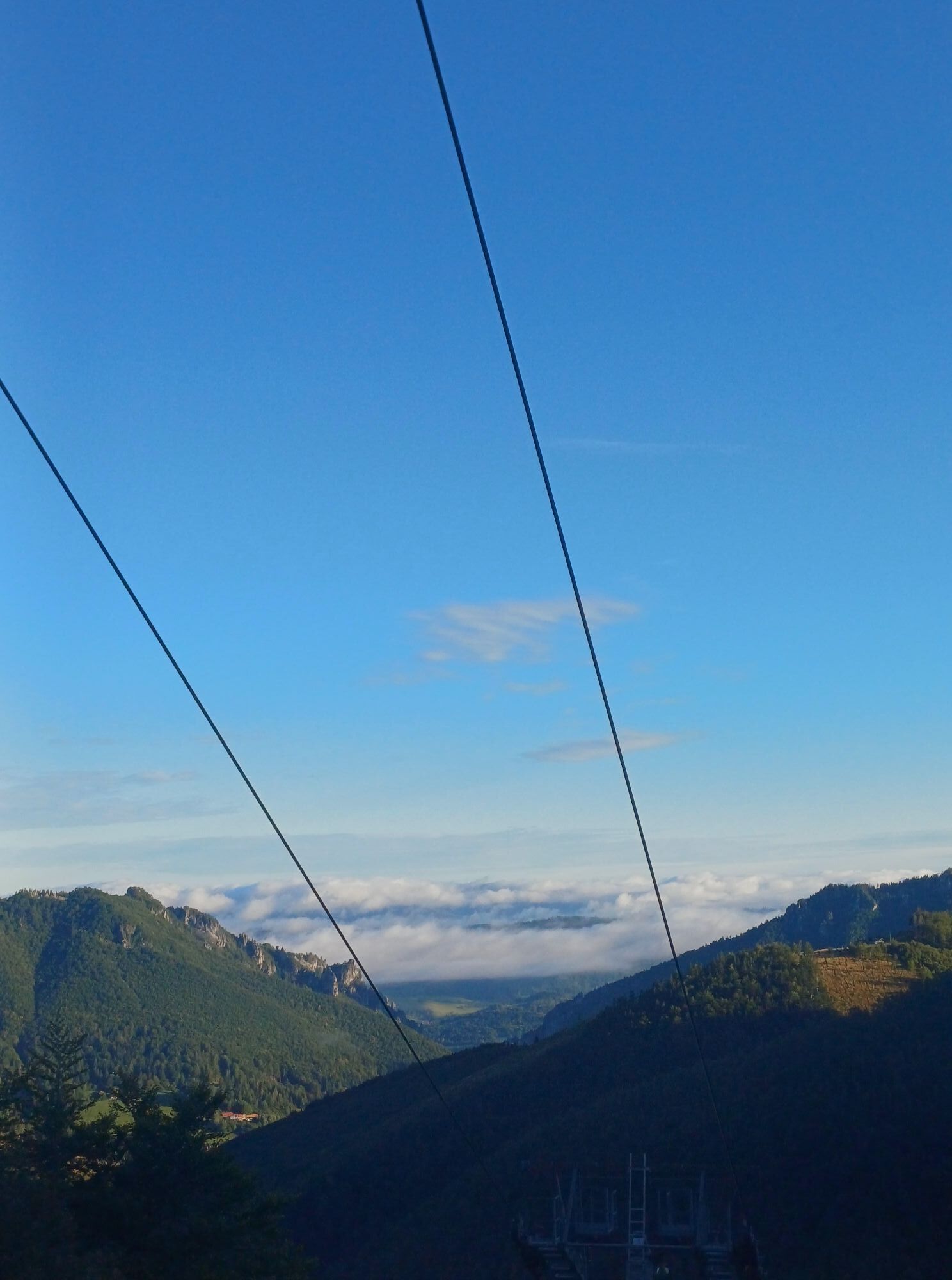
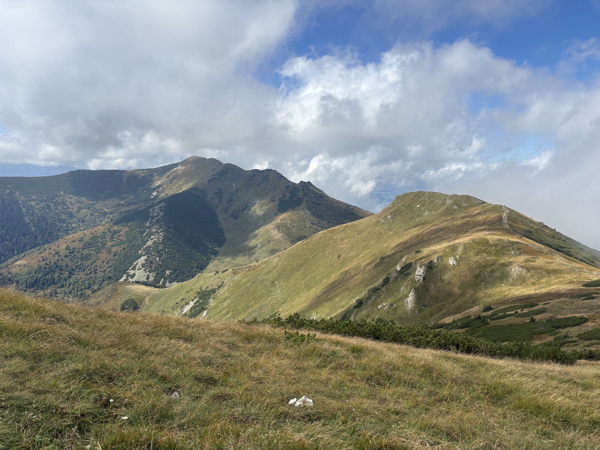
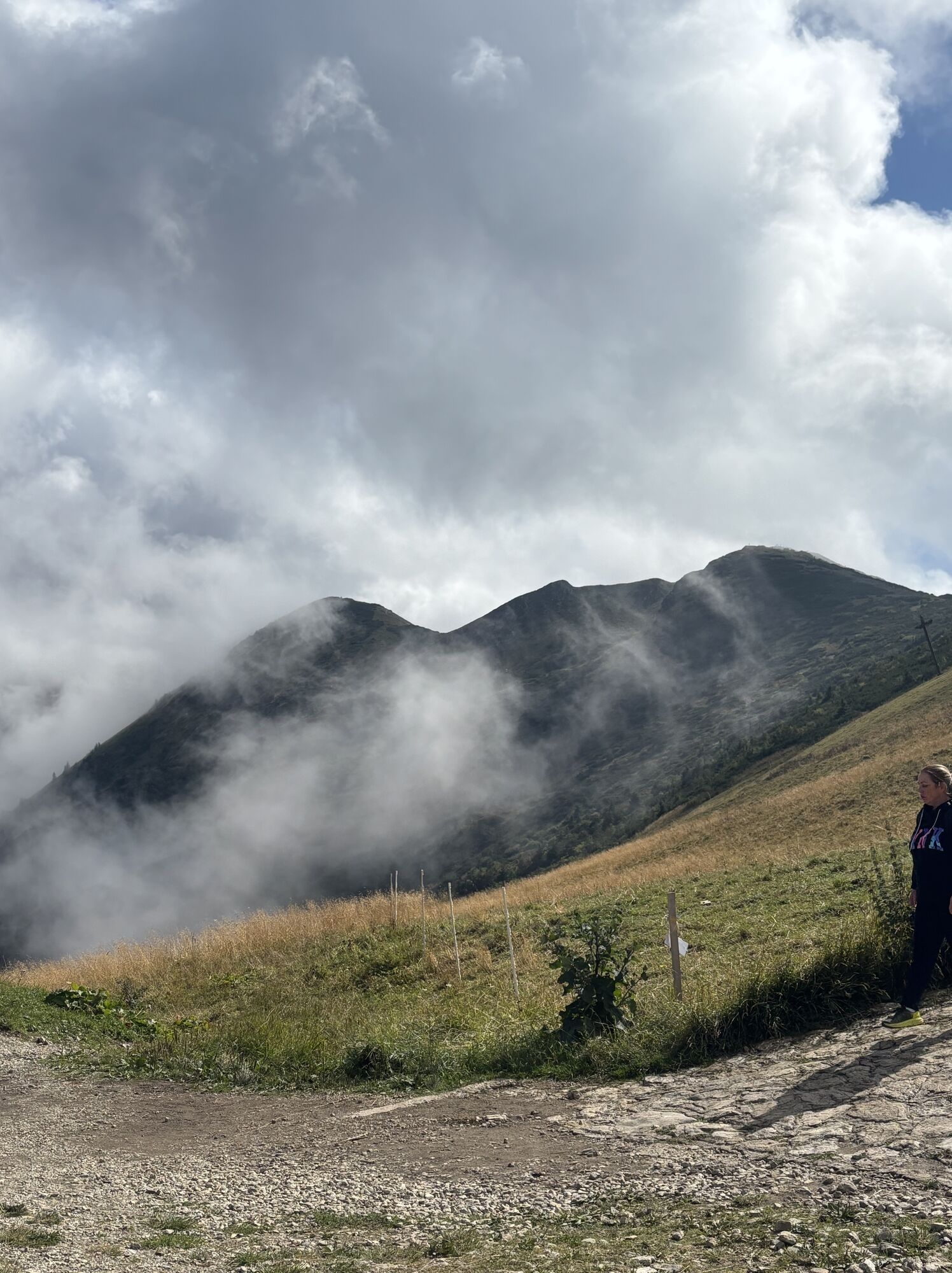
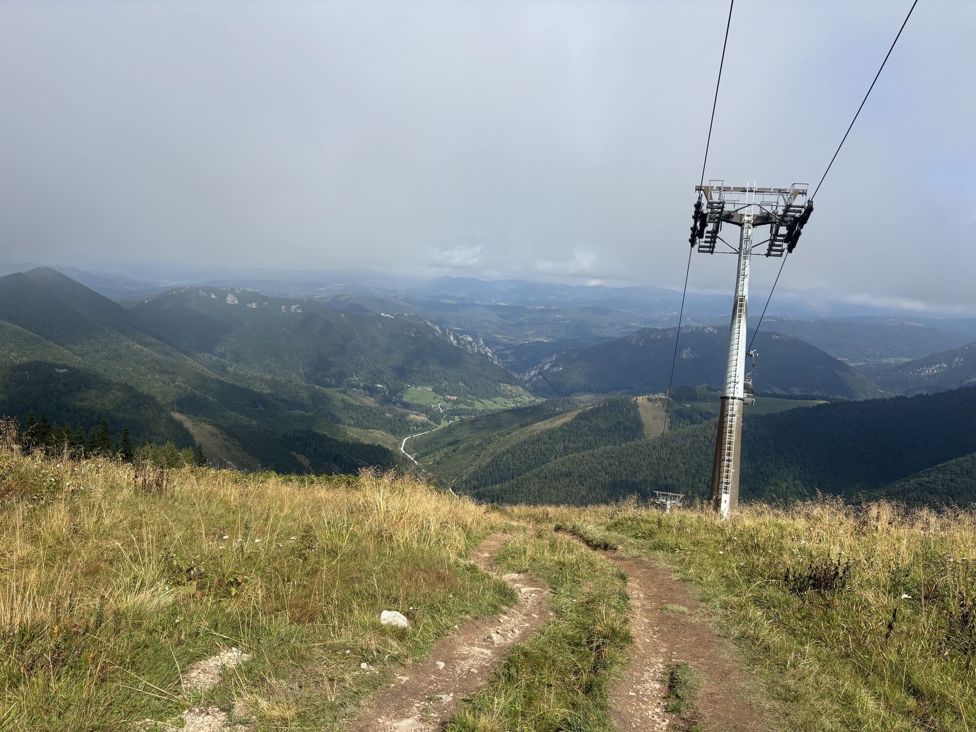
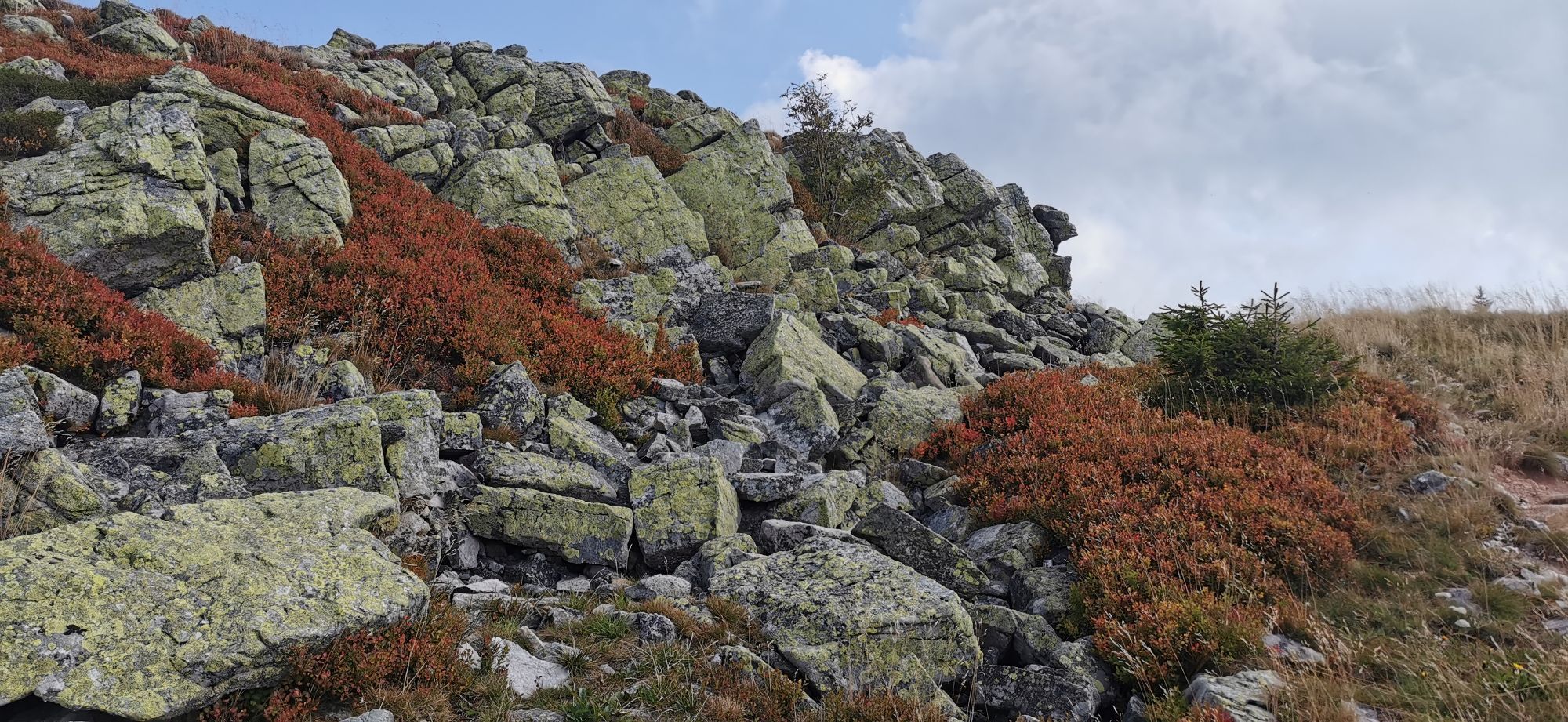
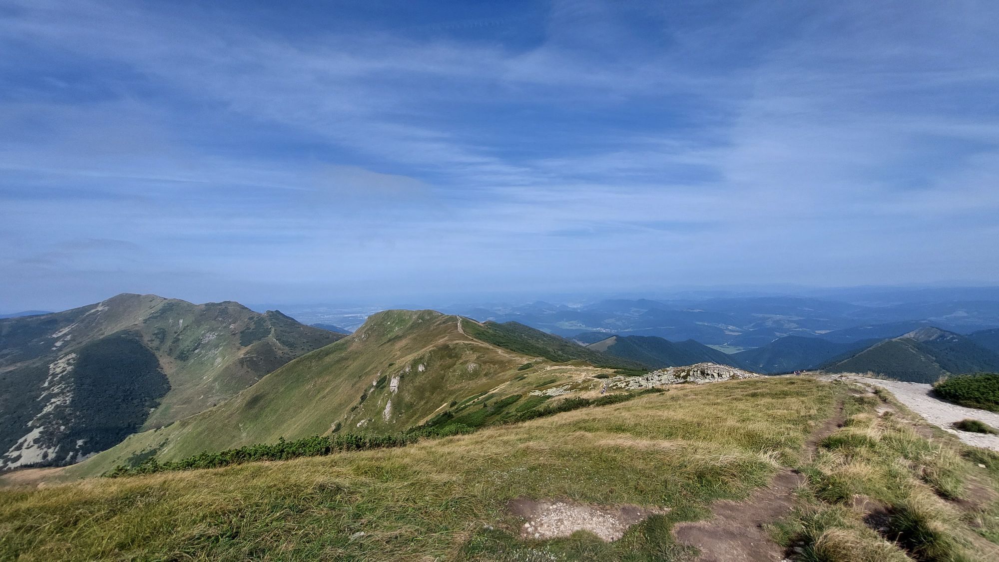
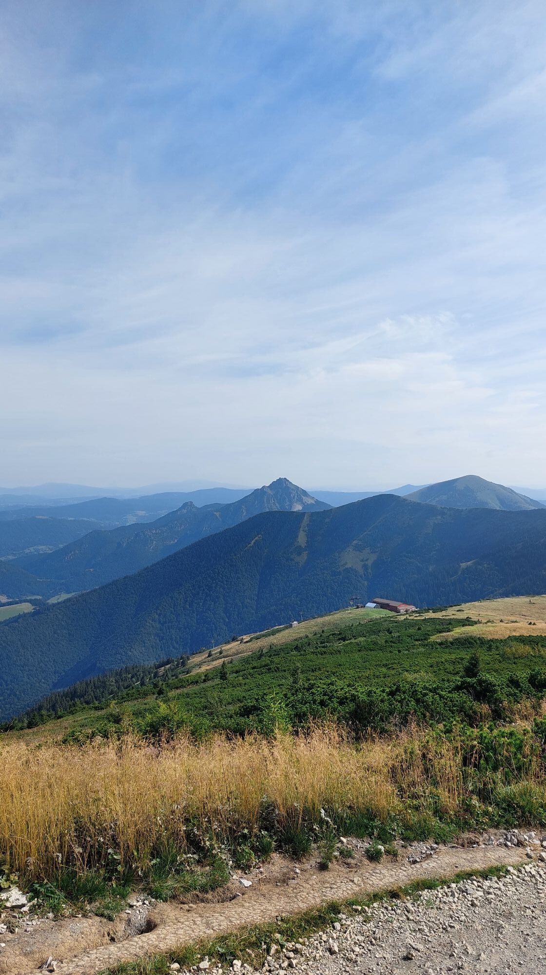
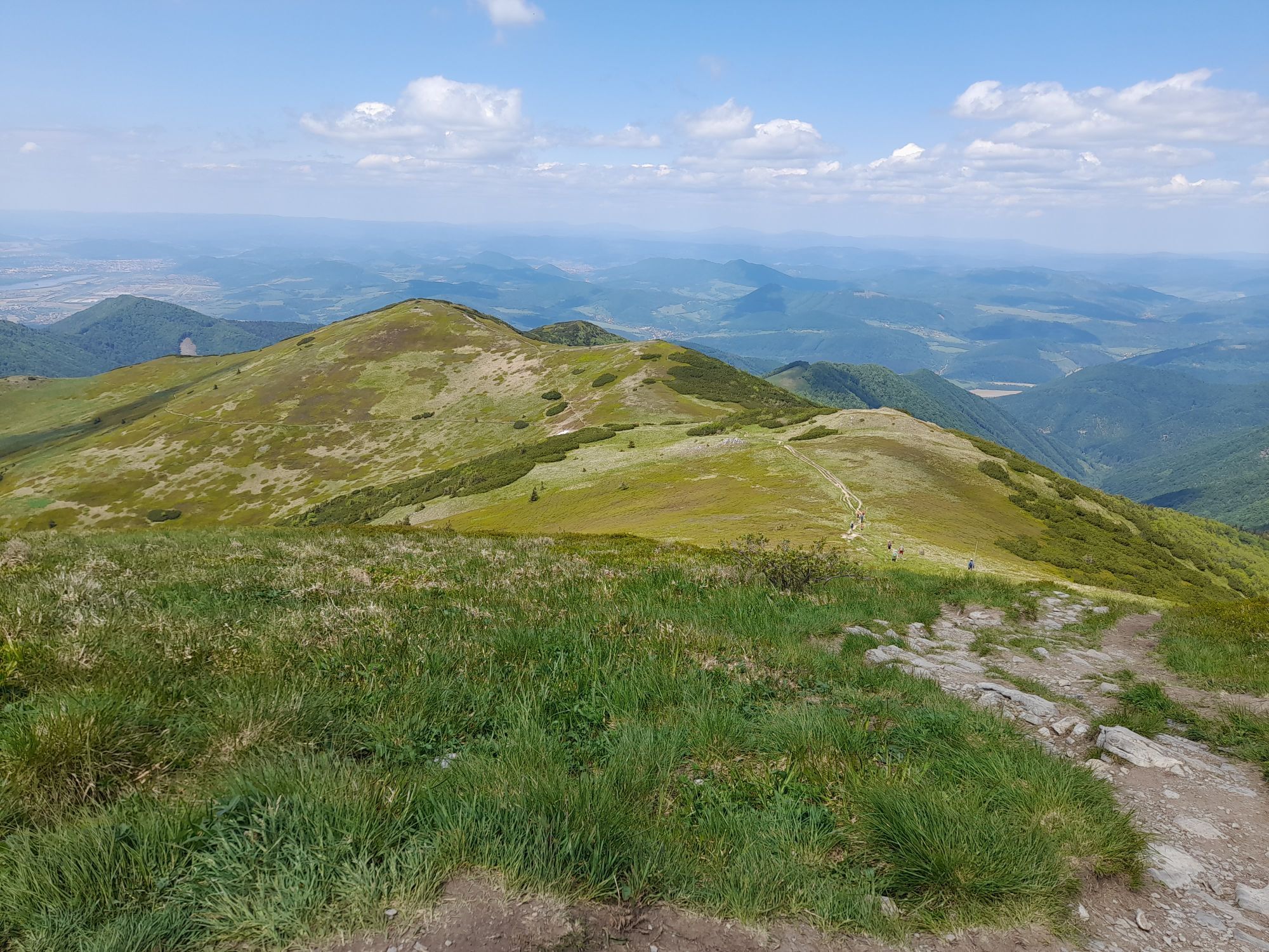
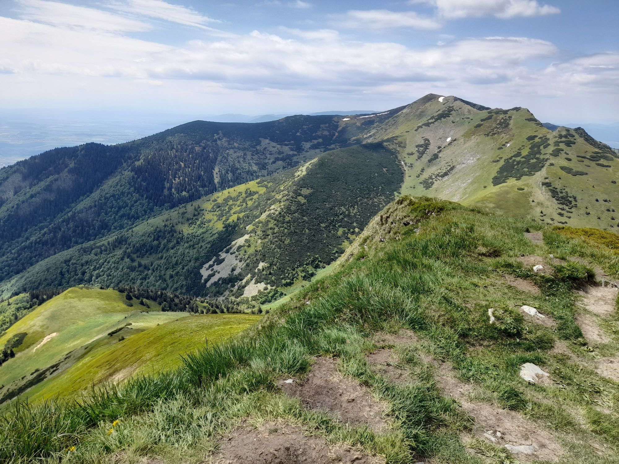
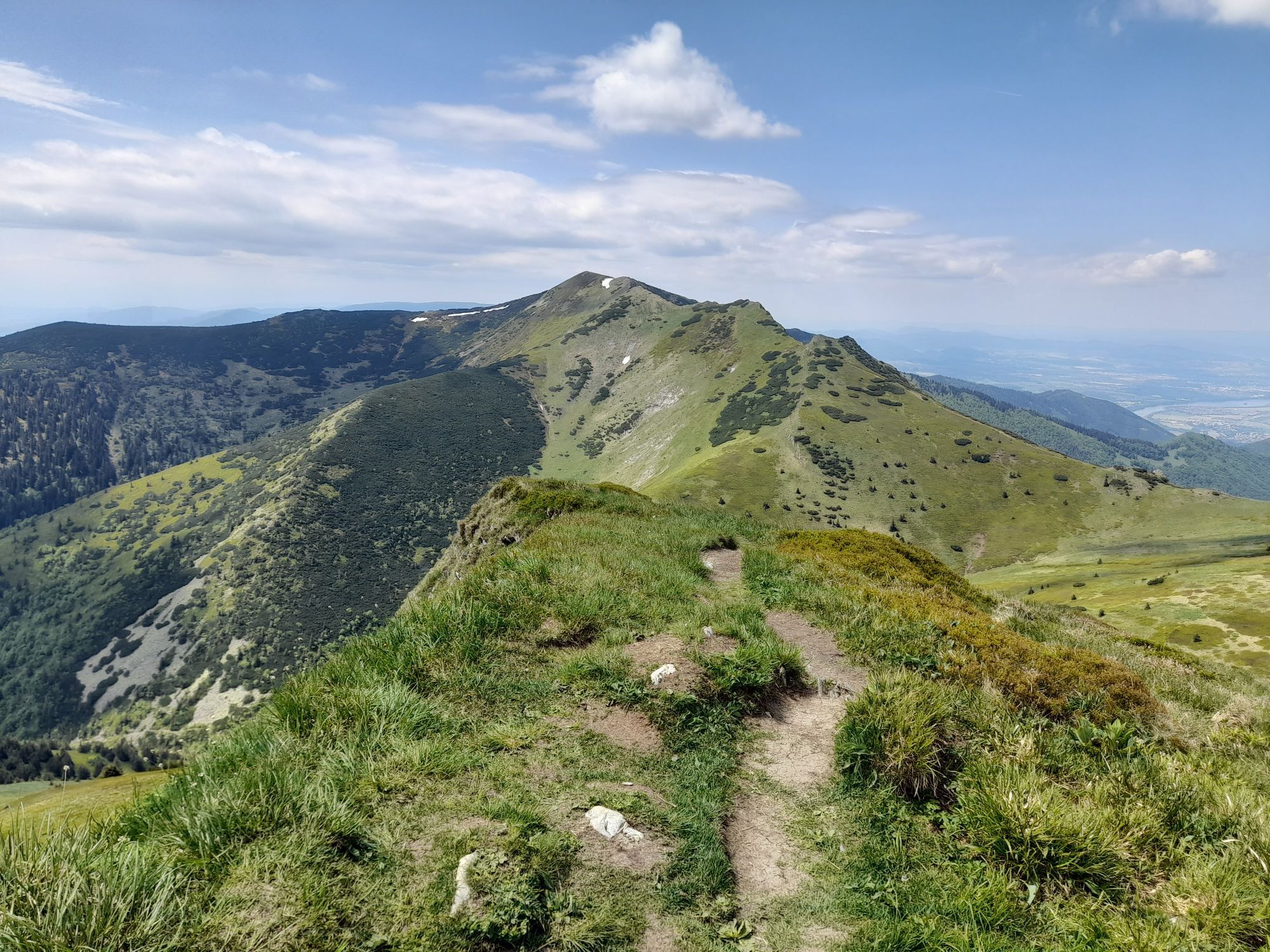
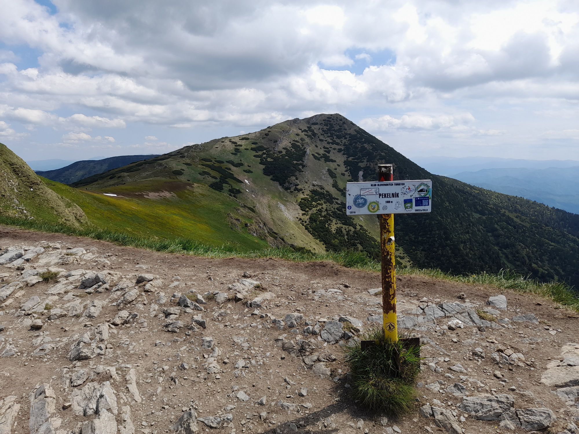
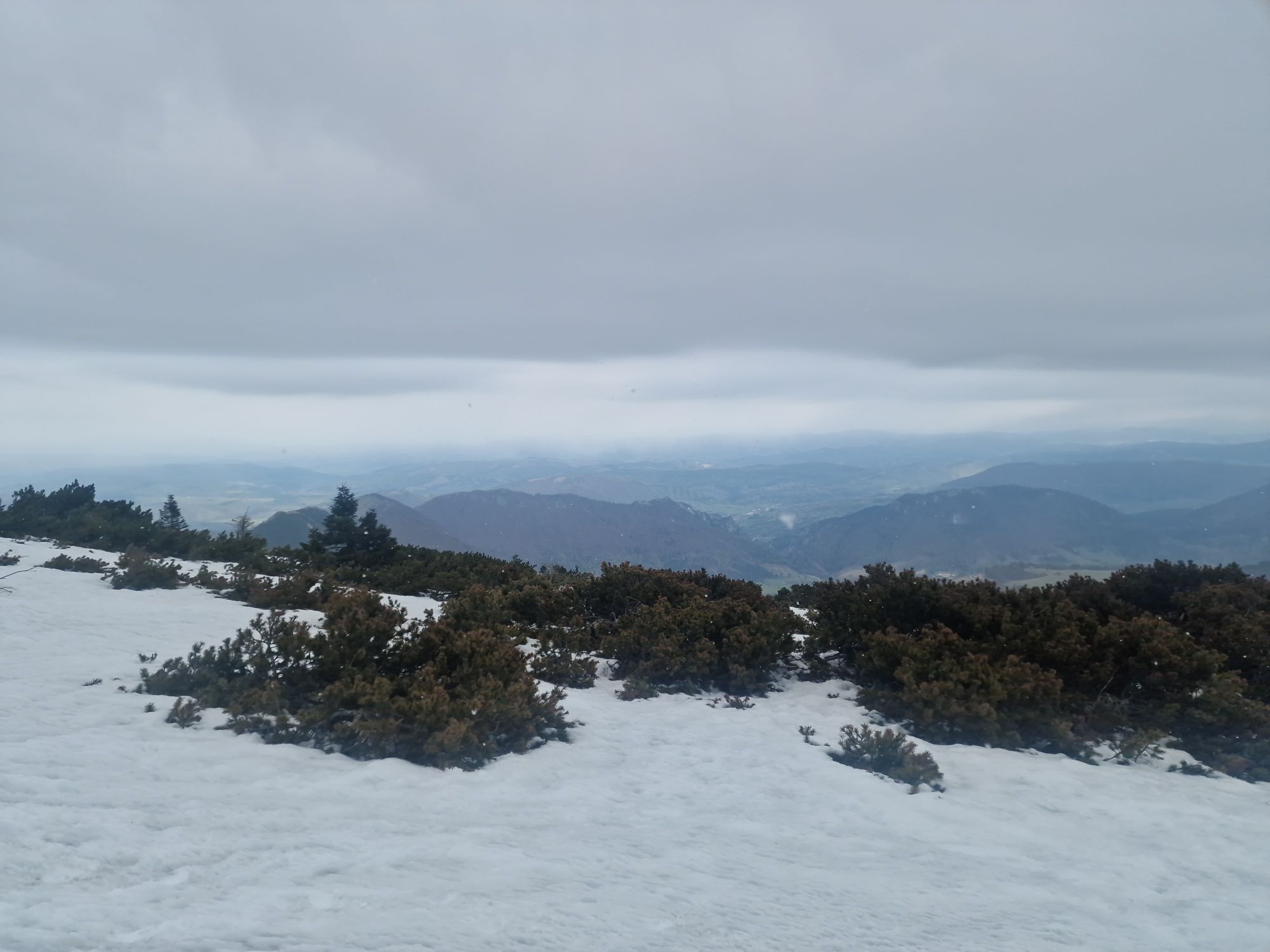
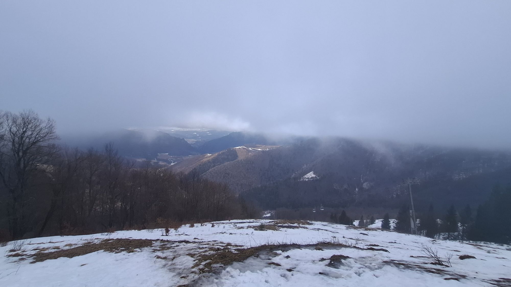
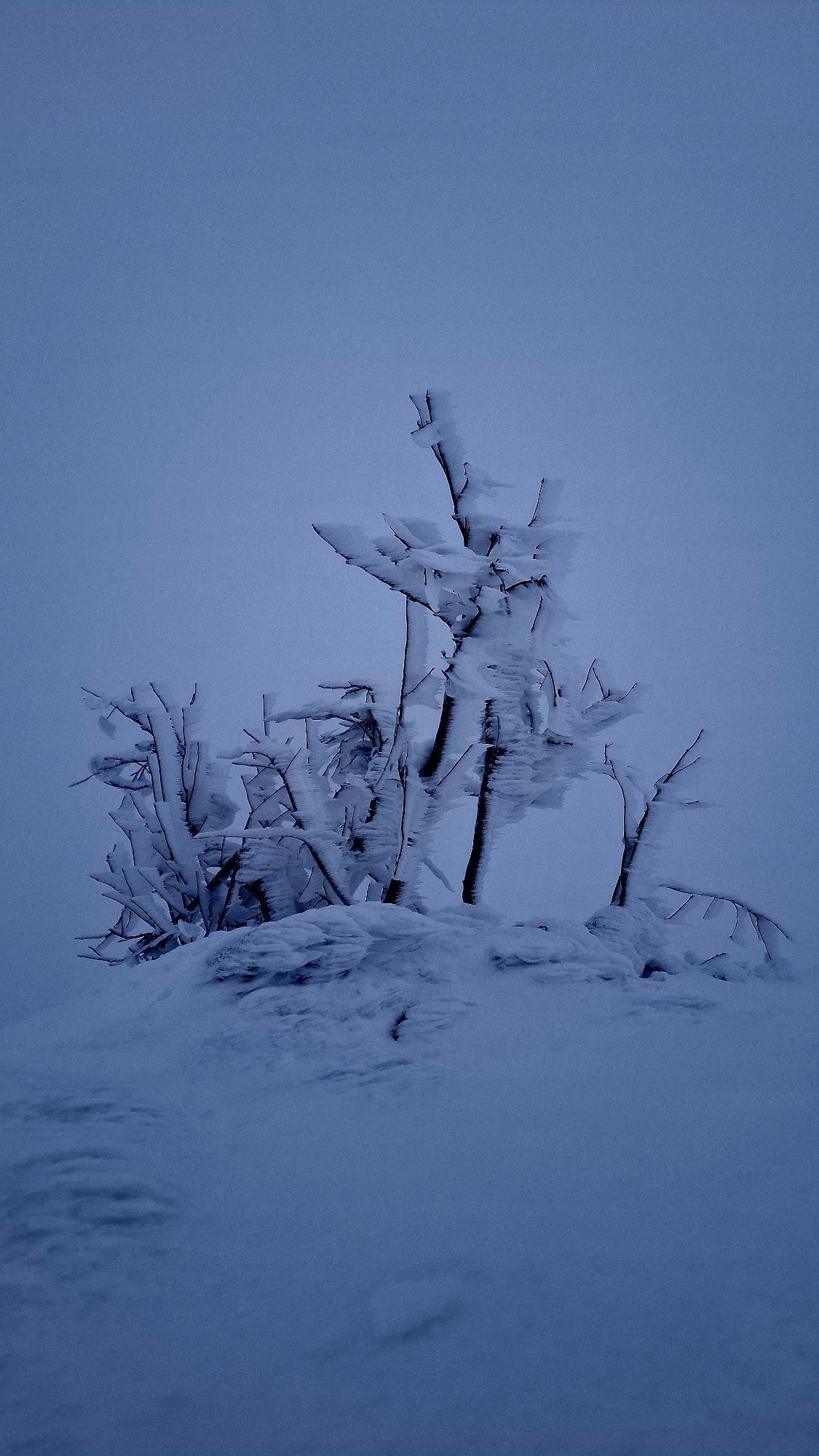
Just another way to get to the main Mala Fatra ridge; going town by the elevator is recommended (boring and knees-heavy descent). Beautiful scenery if the weather is good. Could be uncomfortable after...
Just another way to get to the main Mala Fatra ridge; going town by the elevator is recommended (boring and knees-heavy descent). Beautiful scenery if the weather is good. Could be uncomfortable after rain or in icy/wintery conditions.
The ascent is more or less smooth, so elevation gain doesn't feel so bad.

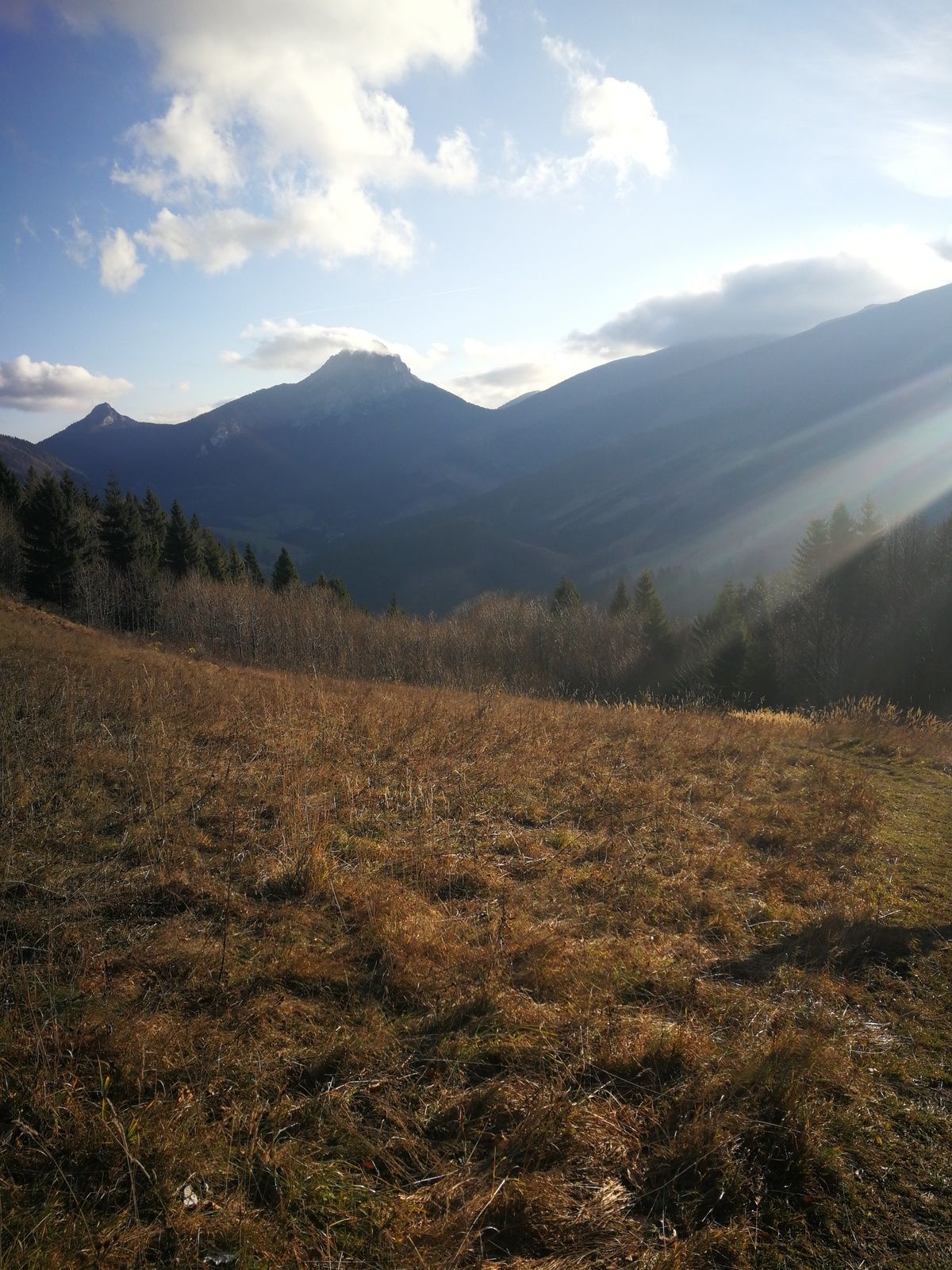
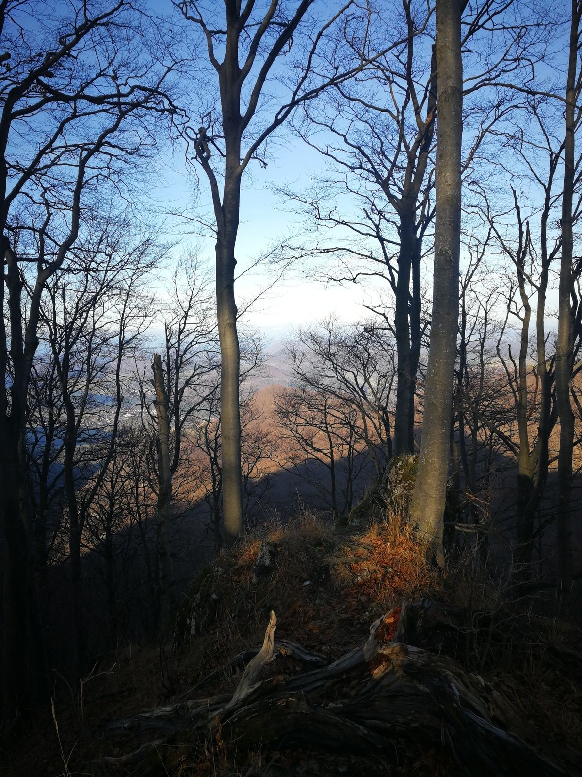
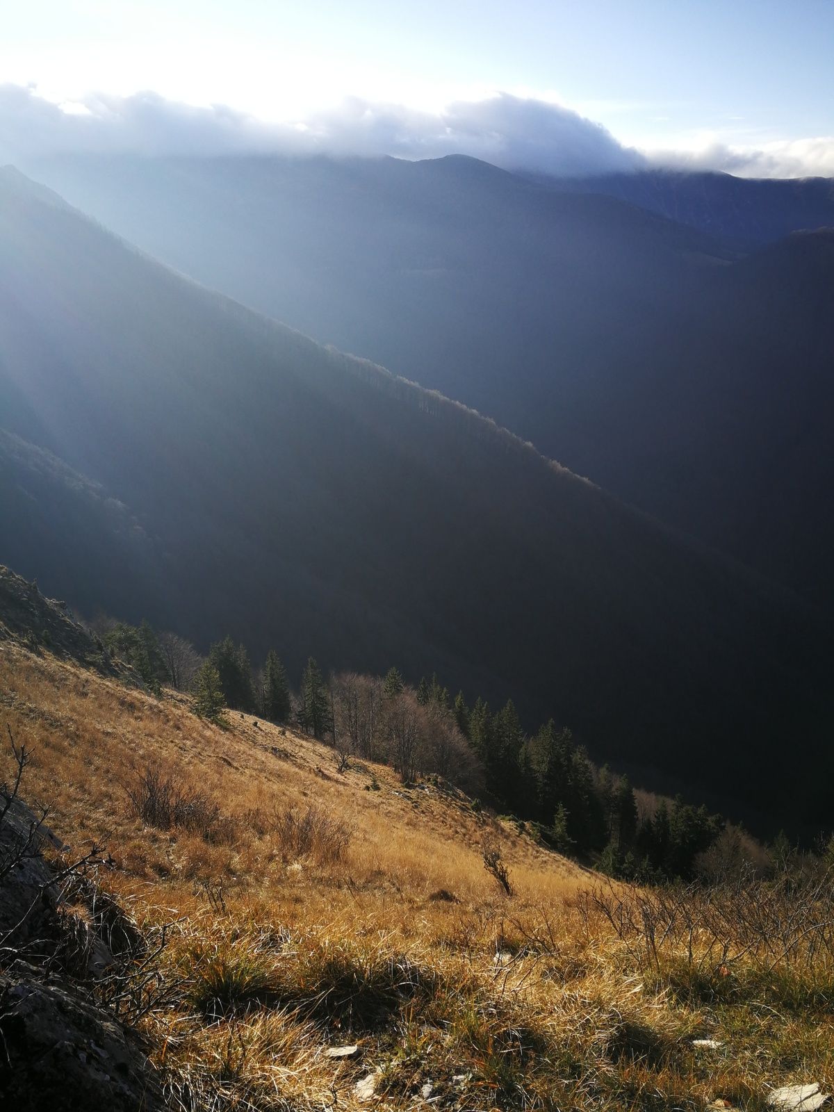
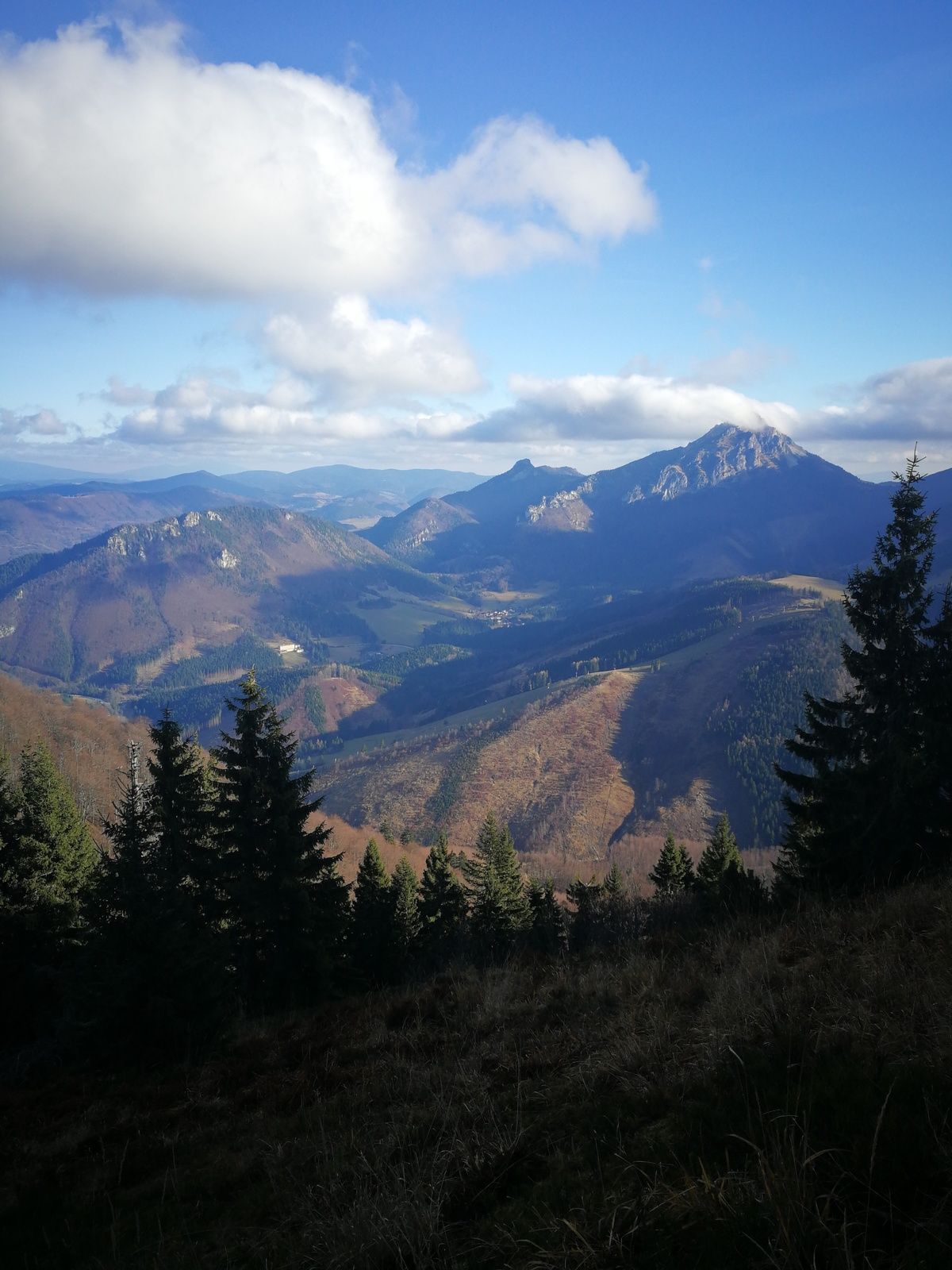
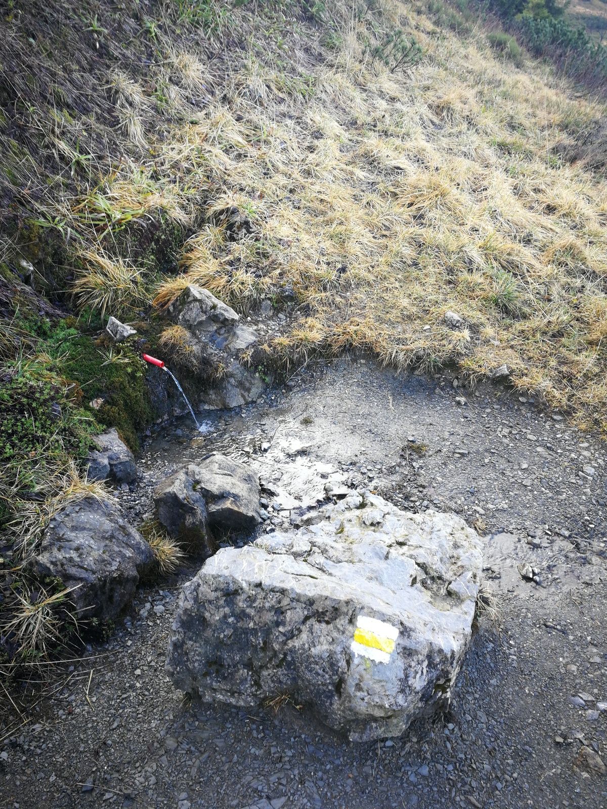
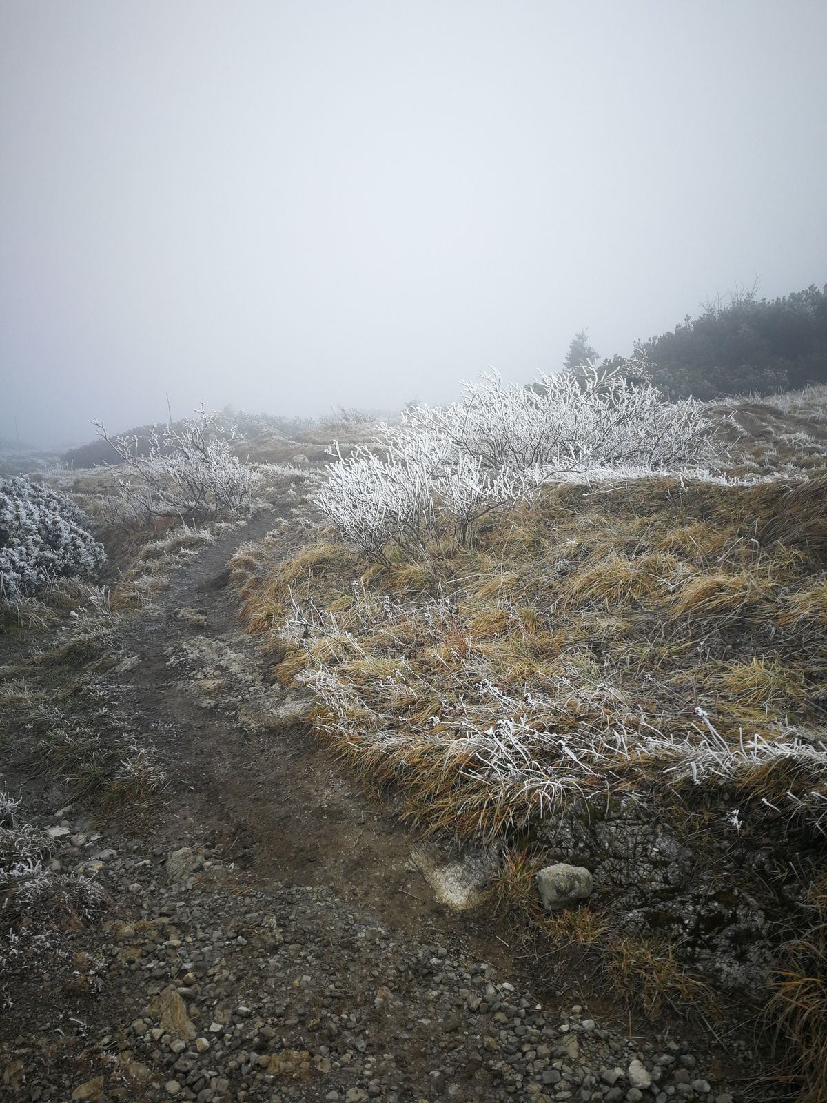


You can shorten the route going down directly after the water point. Or you could go both directions using the elevator and just walk around the upper station, still beautiful if there is no fog.
Water point; upper elevator station.
Tak
Tak
Tak
trekking poles and other normal outfit for such tour.
Crampons during the winter conditions are mandatory; sometimes - avalanche set. Mountain rescue service phone is 18300.
Rare bus on the asphalt road below; public cabin elevator available.
check the elevator working hours - there is food and toilets on the upper station. ensure the weather is good. Water was available in November in the middle of the route. There is very short exposed rock part with the fixed ropes, but it's safe and they are used more on slippery conditions.



Popularne wycieczki w okolicy
-
5,0
Terchovská koliba Hotel Diery - Vrchpodžiar
średniWędrówka 7,46 km -
5,0
Vielky Krivan
średniWędrówka 11,5 km -
5,0
Osnica a Veľký Rozsutec
średniWędrówka 13,6 km -
5,0
Poludňový Grúň - Stoh
światłoWędrówka 12,3 km -
4,0
Turany - Veľký Kriváň - Chleb - Snilovské sedlo
średniWędrówka 7,37 km -
4,8
Vrátna - Hromové - Chleb - Veľký Kriváň
ciężkiWędrówka 16,4 km -
5,0
Nezbudská Lúčka - Malý Kriváň - Veľký Kriváň - Penzion Stárek
ciężkidługodystansowy szlak pieszy 33,0 km -
Martin, Žilinský kraj/Slovensko
Wędrówka 6,17 km -
Terchová_ Žilinský kraj/Slovensko
Wędrówka 1,07 km -
5,0
Martin - Chata pod Kľačianskou Magurou - pod Suchým - Suchý
średniWędrówka 7,61 km
Wędrówki i tropienie


Nie przegap ofert i inspiracji na następne wakacje
Twój adres e-mail została dodana do listy mailingowej.





