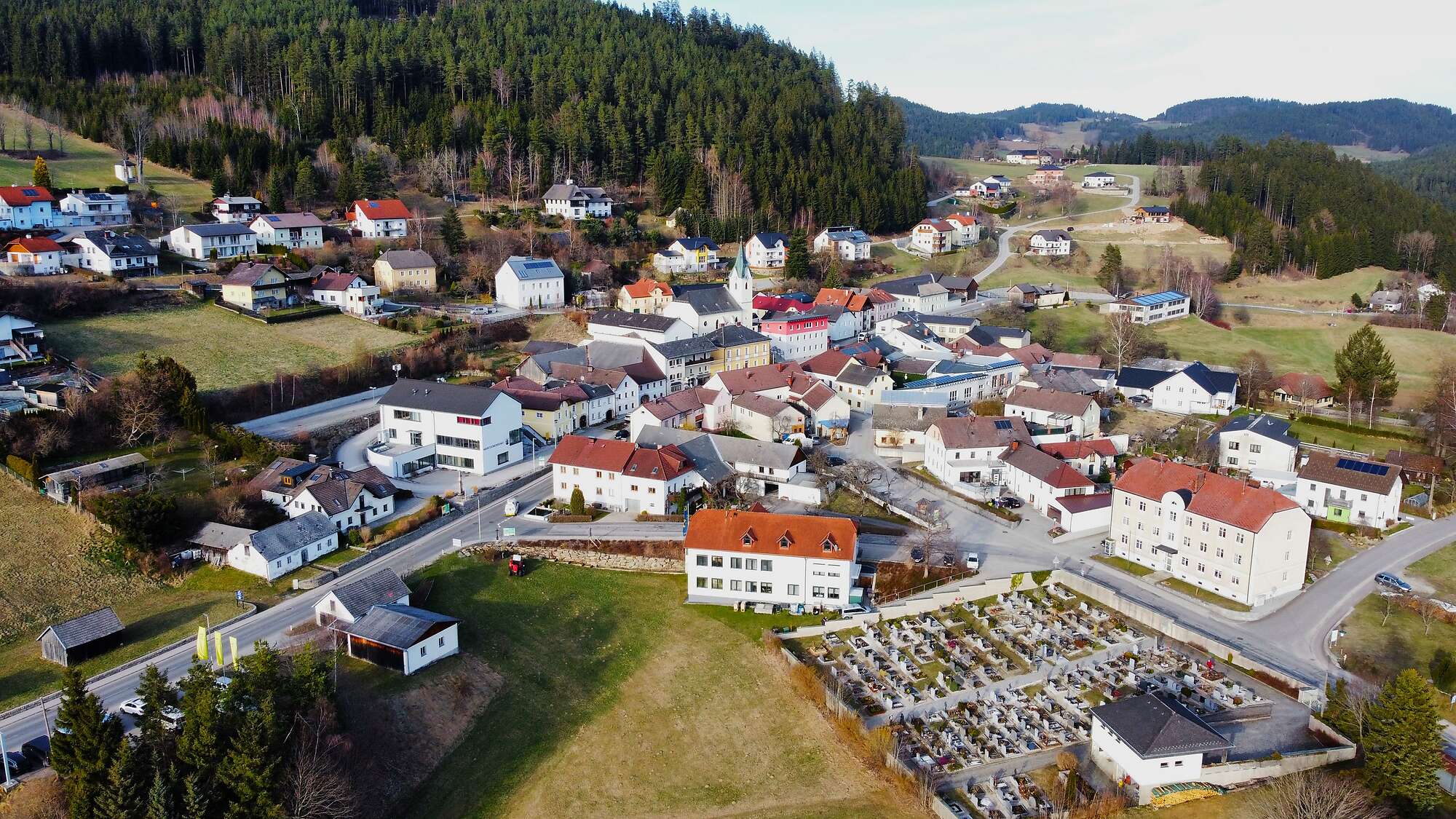
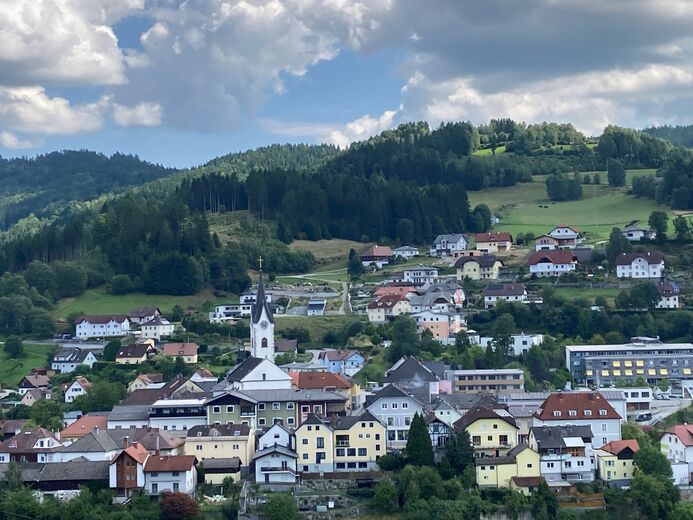
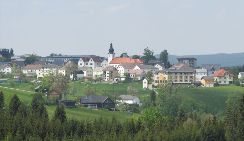
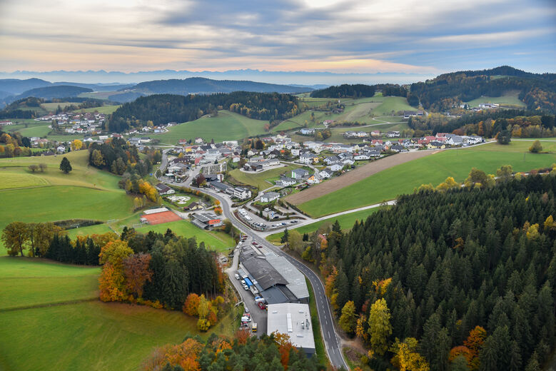
Weitersfelden lies at an altitude of 733 m above sea level in the Mühlviertel region, at the foot of the Haiderberg (930 m). It stretches 8.4 km from north to south and 10.1 km from west to east. The total area is 43.68 km². Just over 70 per cent of the area is forested, whilst 14.6 per cent is used for agriculture. The highest points within the municipal area are the Schwarzberg at 996 m and the Kammererberg...
Weitersfelden lies at an altitude of 733 m above sea level in the Mühlviertel region, at the foot of the Haiderberg (930 m). It stretches 8.4 km from north to south and 10.1 km from west to east. The total area is 43.68 km². Just over 70 per cent of the area is forested, whilst 14.6 per cent is used for agriculture. The highest points within the municipal area are the Schwarzberg at 996 m and the Kammererberg at 980 m.
The municipality comprises a total of 16 localities: Eipoldschlag, Haid, Harrachstal (including Spinnstock), Knaußer, Markersdorf, Nadelbach, Rabenberg, Reitern, Ritzenedt, Saghammer, Straßreit, Stumberg (including Kühberg), Waldfeld, Weitersfelden, Wienau (including Schützenschlag) and Windgföll (including Katzenschlag).
A document dating from 1352 has survived, recording that Ulrich von Kapellen purchased the Weitersfelden forest estate from the people of Wallsee for 3,600 pounds of pfennigs. A year later, he also acquired the free estate of Weitersfelden. This indicates that a settlement had existed here for some time. It is thought that the village had its own church as early as 1300.
Zaplanuj swoje wakacje


Skontaktuj się z nami


Wskazówki dotyczące wypoczynku
-
Besonders schöne Kapellen und Bildstöcke
Weitersfelden
-
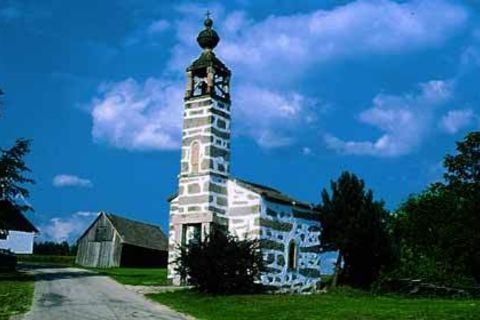
Denkmalgeschützte Dorfkapelle Wienau
Weitersfelden
-
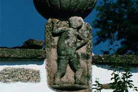
Natur- und Kleindenkmale in Weitersfelden
Weitersfelden
-
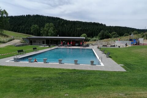
Freibad mit Kinderspielplatz
Weitersfelden
-

Weihnachtsmuseum Harrachstal auf der Mühlviertler Alm
Weitersfelden
-

Mountainbike-Region Granitland
Mühlviertel
Ośrodki narciarskie w okolicy
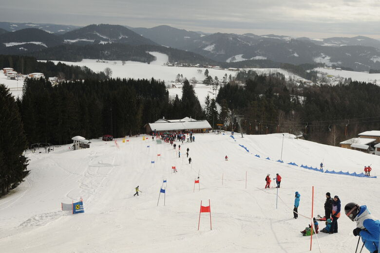


Wędrówki i tropienie




Nie przegap ofert i inspiracji na następne wakacje
Twój adres e-mail została dodana do listy mailingowej.





