







Heidnische Tossu

For the start of this route, you can choose between a one-hour hike from Grächen or taking the gondola to the mountain station at Hannigalp at 2121 meters altitude. Here, in addition to the mountain restaurant...
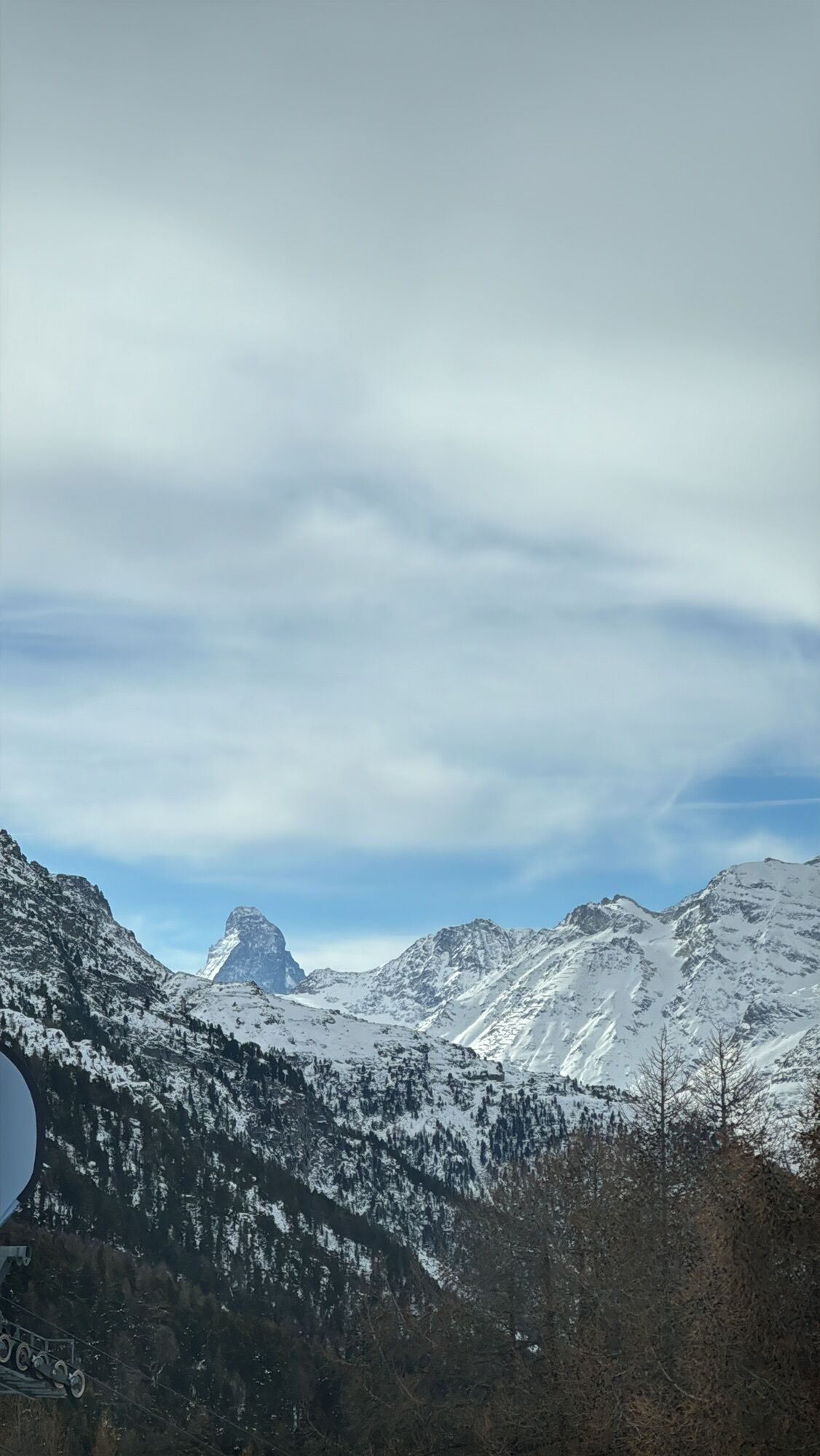
For the start of this route, you can choose between a one-hour hike from Grächen or taking the gondola to the mountain station at Hannigalp at 2121 meters altitude. Here, in addition to the mountain restaurant with a large sun terrace and playgrounds, you also have an impressive view of the Matterhorn. This varied route requires sure-footedness. The breathtaking views reward your efforts. With a bit of luck, you may also spot ibex.

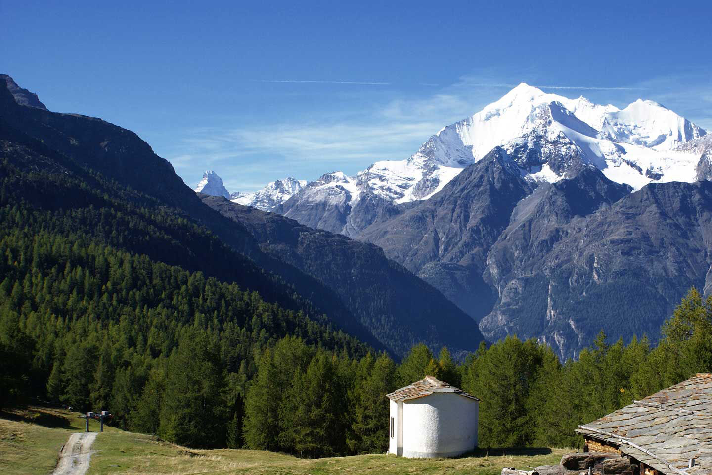
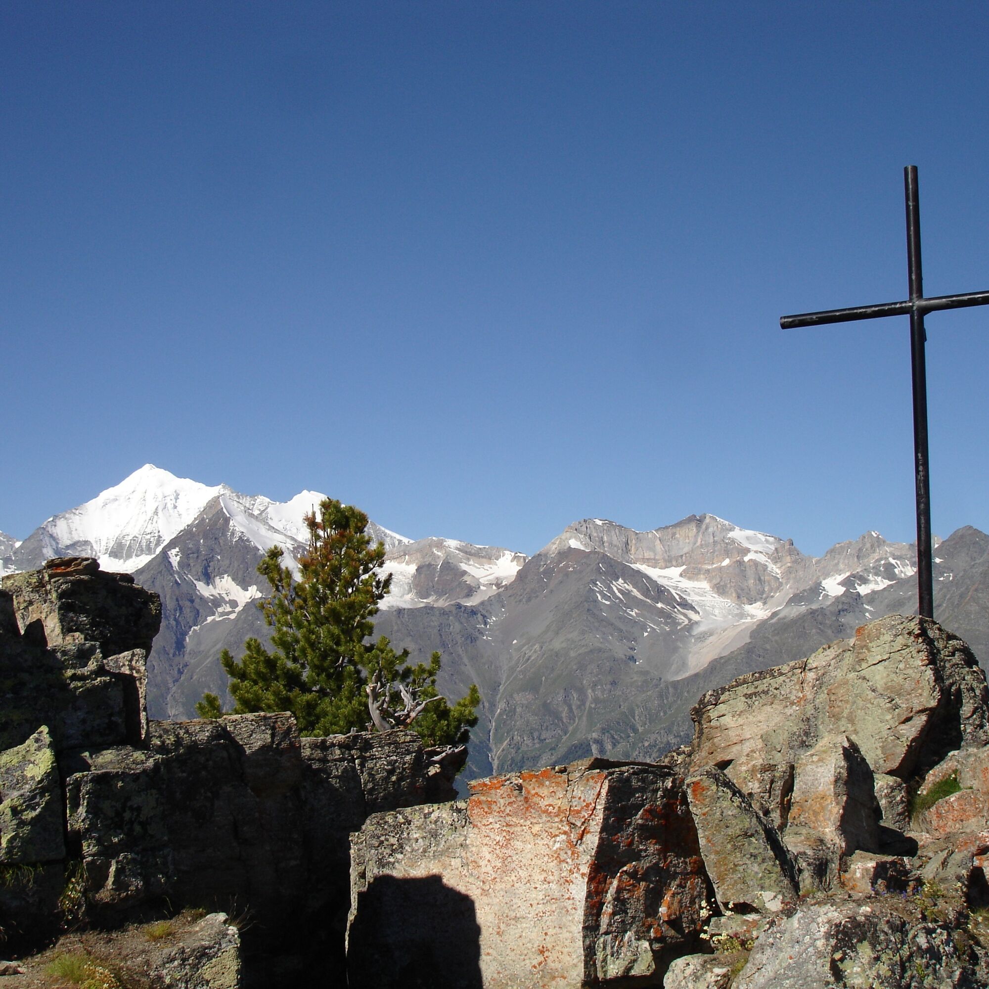
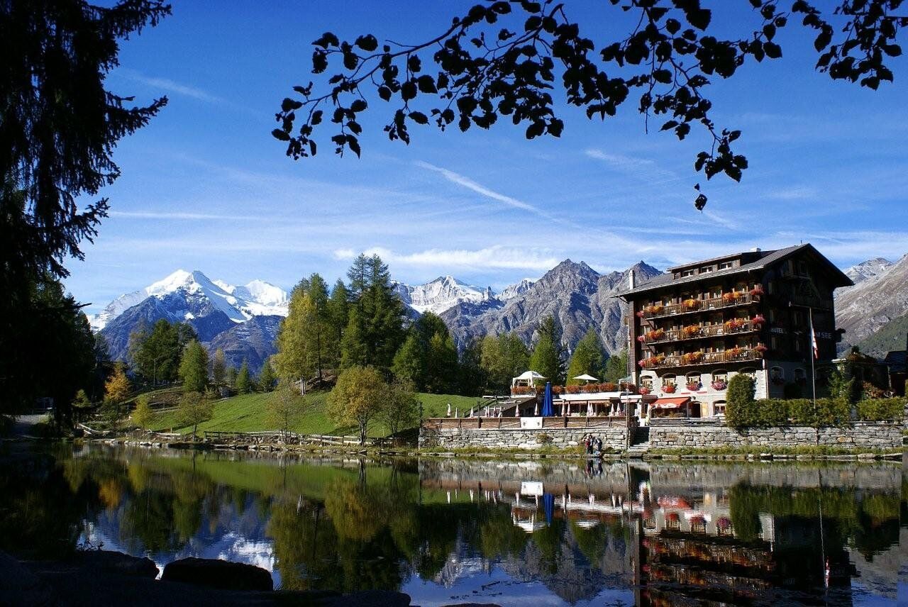

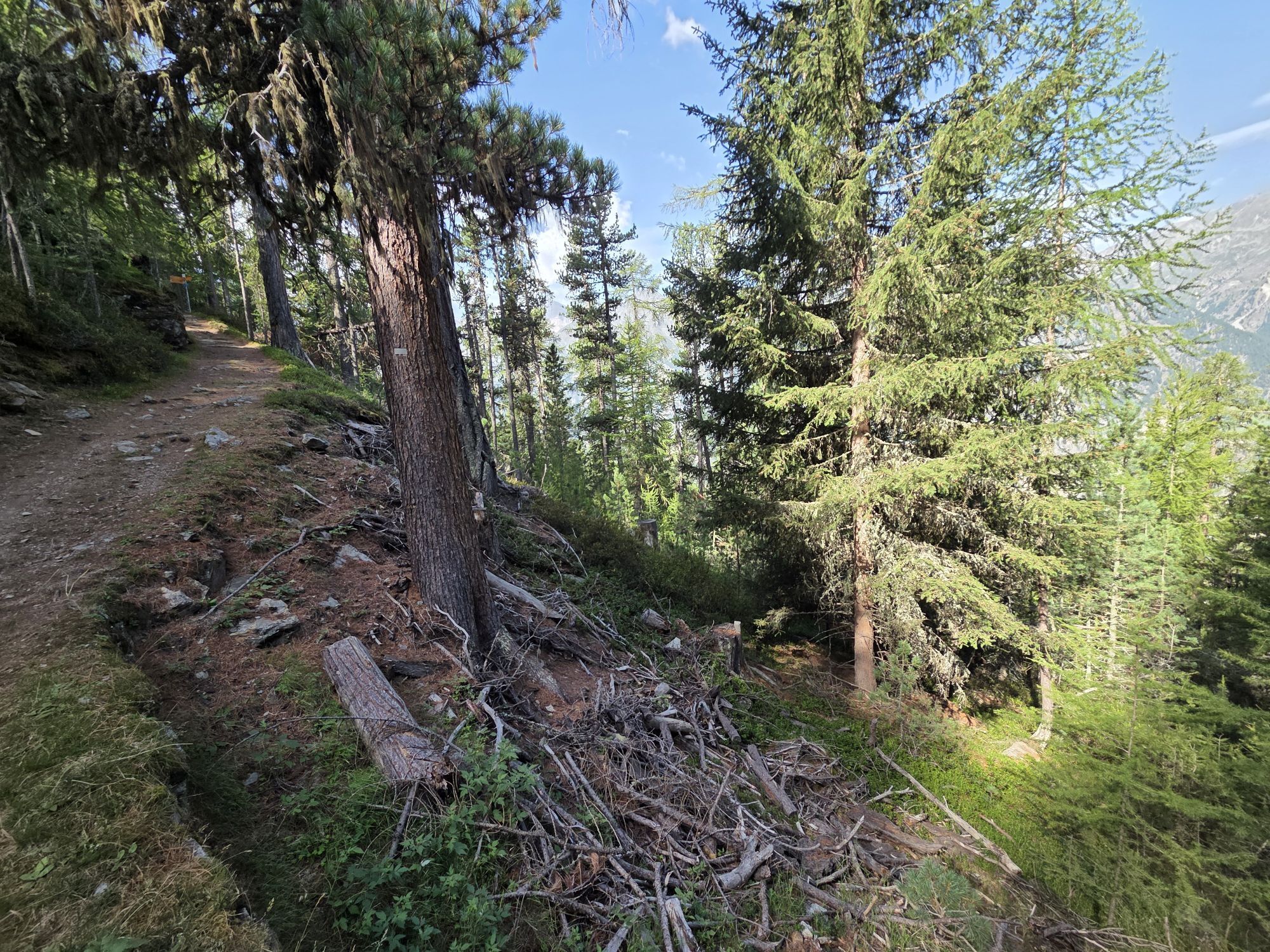
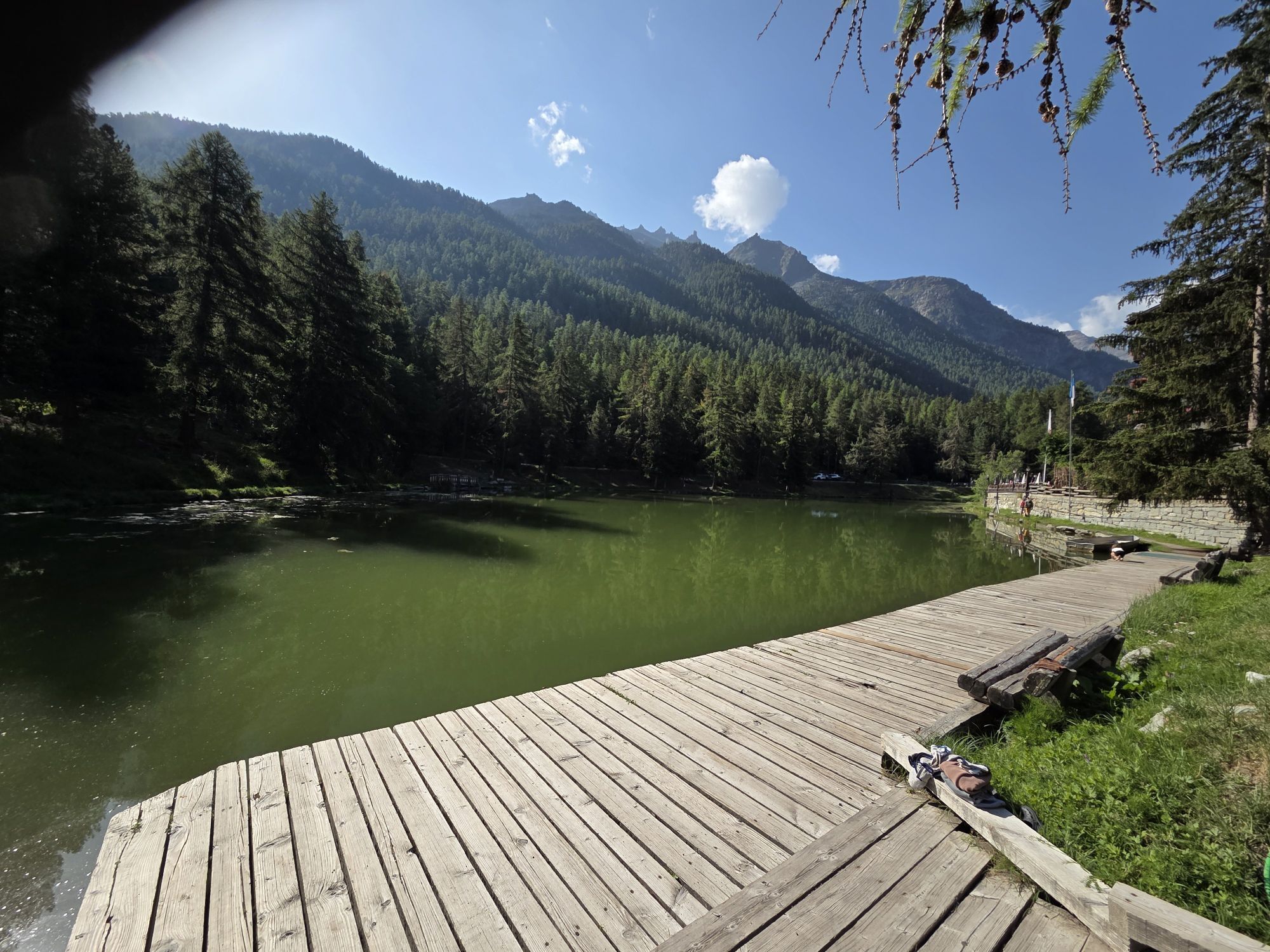
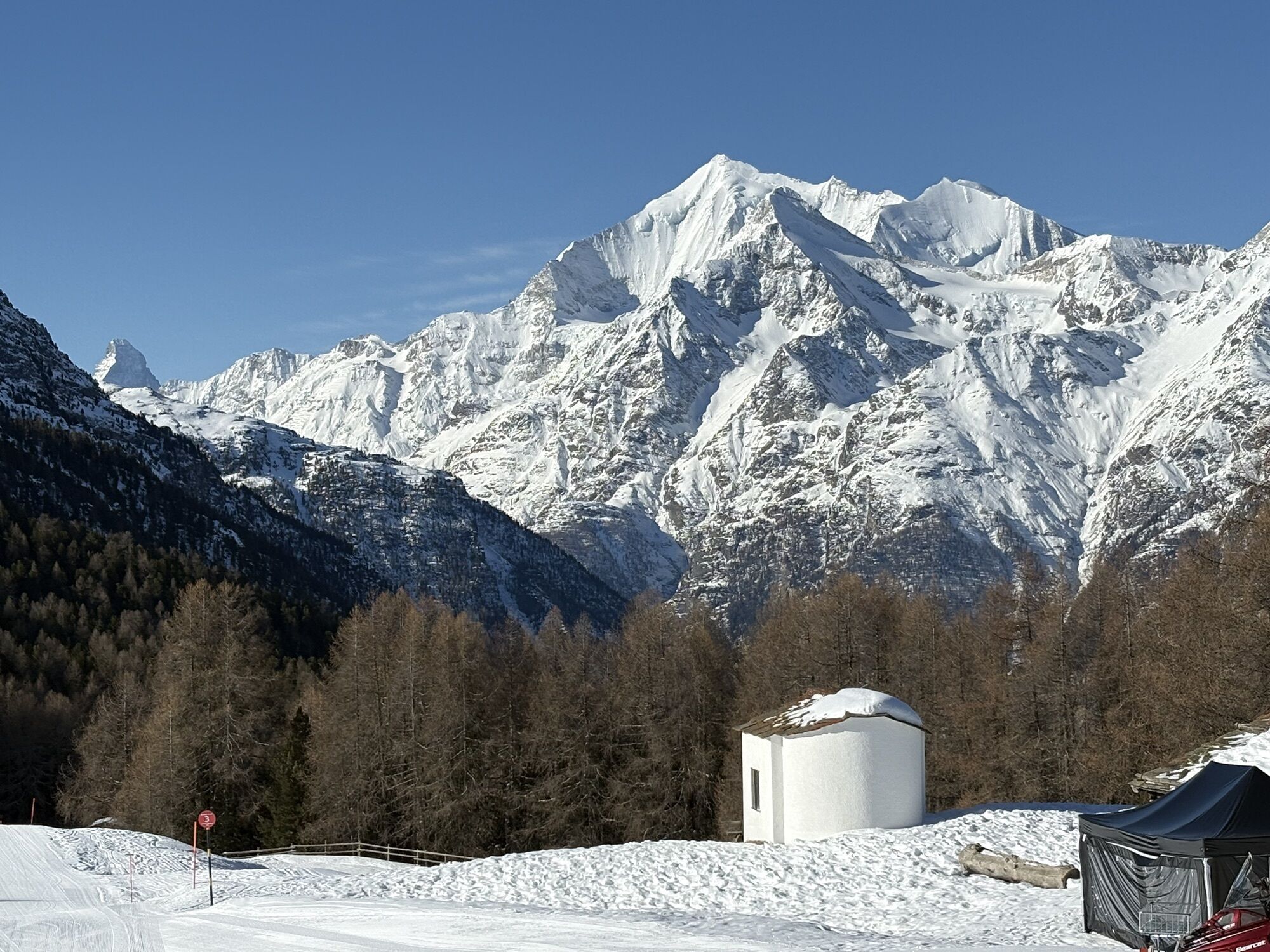
From the Hannigalp mountain station, the path leads you gently uphill through the refreshing larch forest. You follow the increasingly rocky path uphill to Heidnische Tossu, the highest point of your route at 2512 meters above sea level. Here, you are offered a fantastic panoramic view of the surrounding mountain scenery with several four-thousanders, including the Weisshorn, the fourth highest mountain in Switzerland. Along the subsequent rocky and demanding trail, you go downhill through the forest via Chrüterubord to Alpe Äbnet. A relaxing cooling of your warm feet can be enjoyed a few meters further on at the Kneipp facility or during a break at the idyllic mountain lake. For the last section to Grächen, you can choose between the slightly longer route on the paved road and the somewhat steeper downhill variant on the forest path to the sports center.
Tak
We recommend:
Good footwear Weather-dependent clothing: always carry a waterproof vest Headwear Sunscreen Water bottle Picnic Camera Binoculars (optional) Hiking poles (optional) Printout of the hiking trail (click "Print" to download)For certain hikes:
SwimsuitThe mountains, a place of joy to share and respect. The mountain world is a place to meet and experience unforgettable moments together – whether by bike or on foot. To ensure that all users can benefit, it is essential to share this space with respect for nature and agriculture. Respectful behavior enables everyone to pursue their leisure activities under the best conditions. Inform yourself about recommendations and rules. Accurately assess your own skills and fitness. Traveling the different routes is always at your own risk.
For all hikes:
Carry a map with you. Download the complete description of the hiking trail with a large-scale map by clicking "Print" at the top right of the page. Use only marked hiking trails and observe all signs and instructions – for your own safety, the protection of grazing animals, and respect for wildlife. Close gates after passing through. Behave considerately towards other trail users, plants, and animals.For mountain hikes:
Carry additional sunscreen. UV rays at high altitudes can be very strong, even in cloudy weather. Plan your hike carefully: take into account the required fitness level of all participants, weather forecasts, and seasonal dependencies. Weather conditions in the mountains can change very quickly and without warning. Appropriate clothing and sufficient provisions (food and drink) are very important. In unstable weather, it is better to turn back early.For high alpine hikes:
Inform your family about your hiking route. If possible, avoid being alone. Do not go onto glaciers without a mountain guide. Observe warning signs indicating dangers at riverbanks, along watercourses below dams and reservoirs: water levels can rise quickly and without warning.Arrival to Visp, then follow the signs to Zermatt until St. Niklaus. There, turn left after the first roundabout towards Grächen. The resort village of Grächen is partly car-free. Access for private vehicles is only allowed up to the village center. For guests in the car-free part, hoteliers, vacation rental providers, and taxi or transport companies offer their service.
Regular train connections from all over Switzerland take you to Visp, where you transfer to the Matterhorn Gotthard Bahn. The narrow-gauge and cogwheel track from Visp to St. Niklaus runs every half hour through the deepest valley in Switzerland. In St. Niklaus, transfer to the bus towards Grächen. On weekends and public holidays, a direct bus runs from Visp to Grächen. Return travel is also by post bus and Matterhorn Gotthard Bahn.
Two parking garages are available – Millegga and Autosilo.
More information about the destination:
GrächenAmid untouched nature, the Suonen, which lead the cool water from the Ried glacier into the local meadows, invite you to relax.
Kamery internetowe z trasy

Popularne wycieczki w okolicy
-
4,9
Moosalp Panoramaweg
światłoWędrówka 6,36 km -
3,6
Höhenweg Kreuzboden - Almagelleralp - Saas-Almagell
Wędrówka 9,74 km -
3,3
Europaweg Grächen - Europahütte - Zermatt
ciężkiWędrówka 39,9 km -
3,5
Waldweg Saas-Fee - Saas-Almagell
Wędrówka 2,83 km -
4,7
Weissmies Südgrat von Saas Almagell
średniWycieczka wysokogórska 20,5 km -
5,0
Via ferrata Jägihorn
ciężkiVia ferrata 6,14 km -
4,8
Marmot mountain path Spielboden
średniWędrówka 3,89 km -
3,8
Höhenweg Saas-Fee - Grächen
Wędrówka 12,0 km -
4,5
Ibex path
średniWędrówka 9,02 km -
5,0
Mountain trail Kreuzboden - Hohsaas
średniWędrówka 4,65 km
Wędrówki i tropienie


Nie przegap ofert i inspiracji na następne wakacje
Twój adres e-mail została dodana do listy mailingowej.





