


Mountain trail Kreuzboden - Hohsaas
Poziom trudności: T2
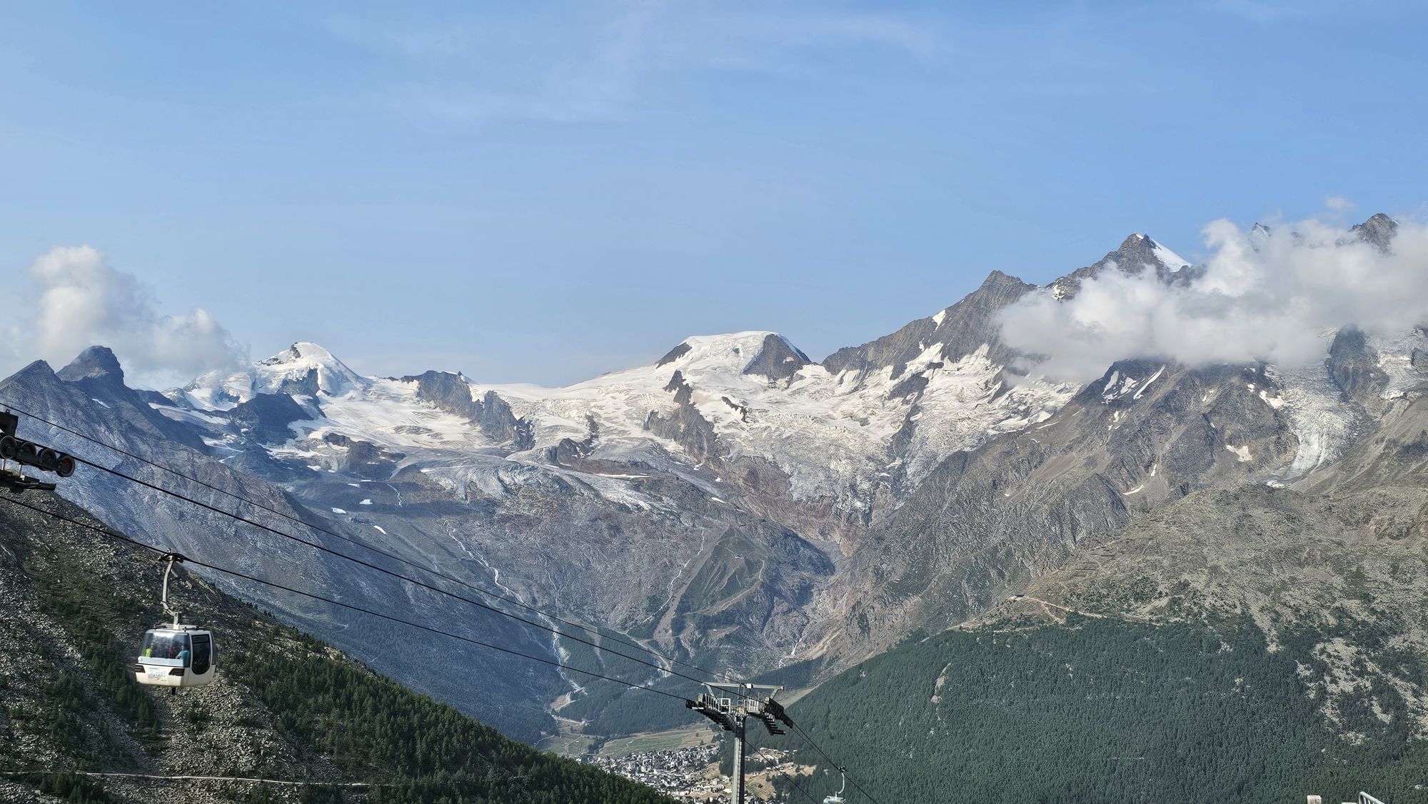
The Path of Impressions begins at Kreuzboden. Kreuzboden (= Chrizbodu) is easily accessible from Saas-Grund either on foot or by cable car. From the mountain station, follow the path east until the end...
The Path of Impressions begins at Kreuzboden. Kreuzboden (= Chrizbodu) is easily accessible from Saas-Grund either on foot or by cable car. From the mountain station, follow the path east until the end of the ski lift. From here, the path zigzags up to the Weissmieshütte, which is already visible from Kreuzboden.
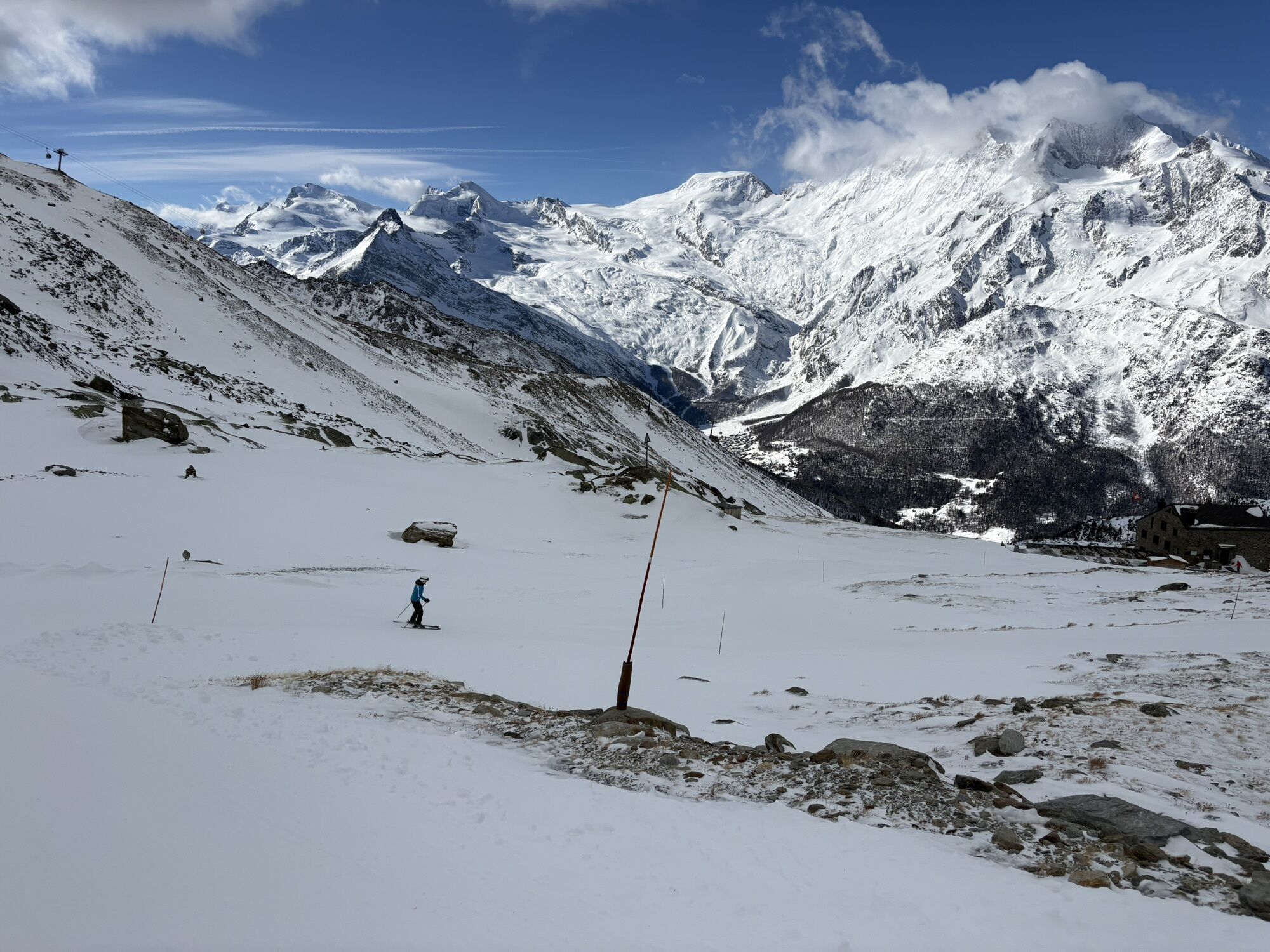
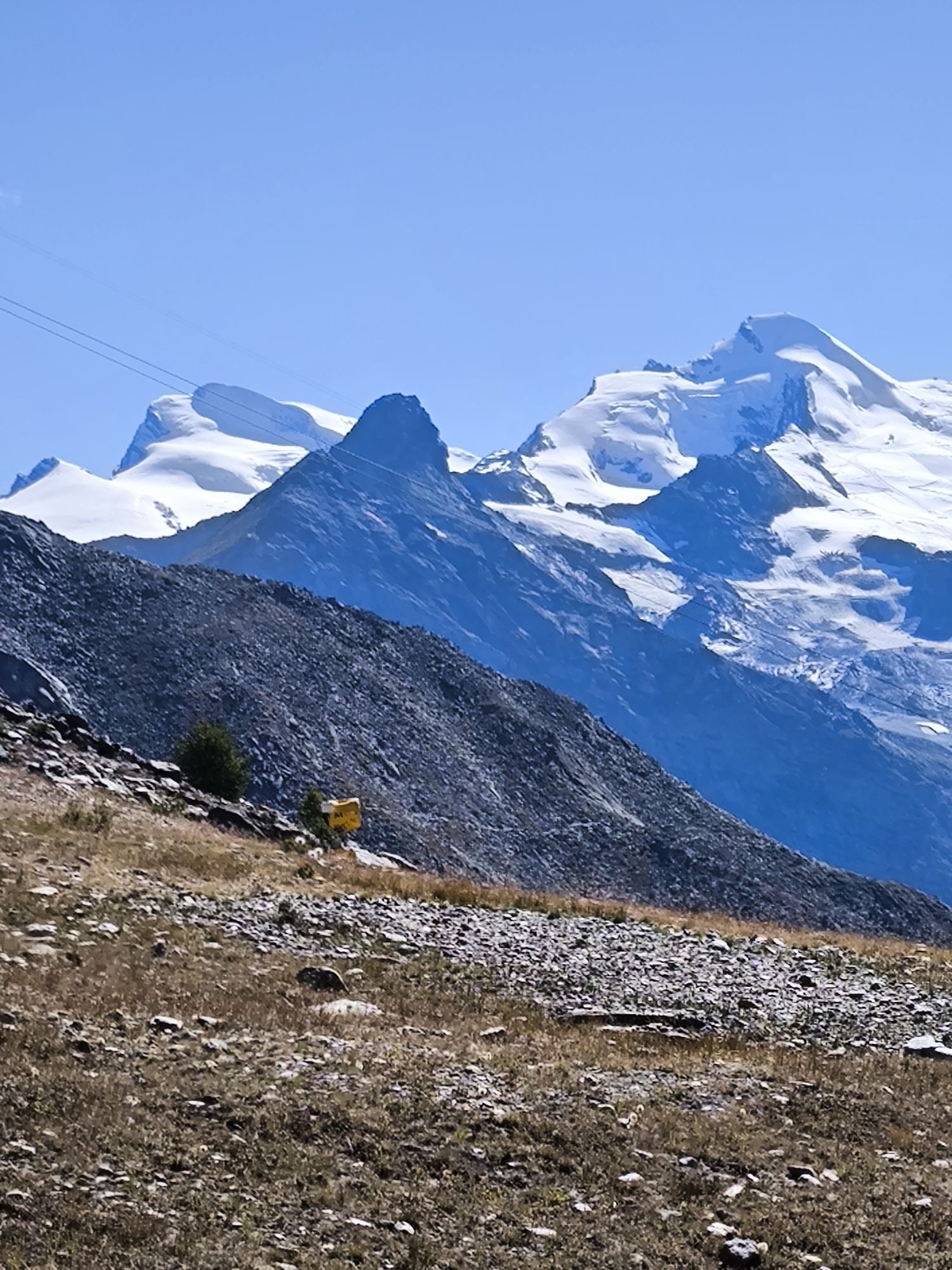
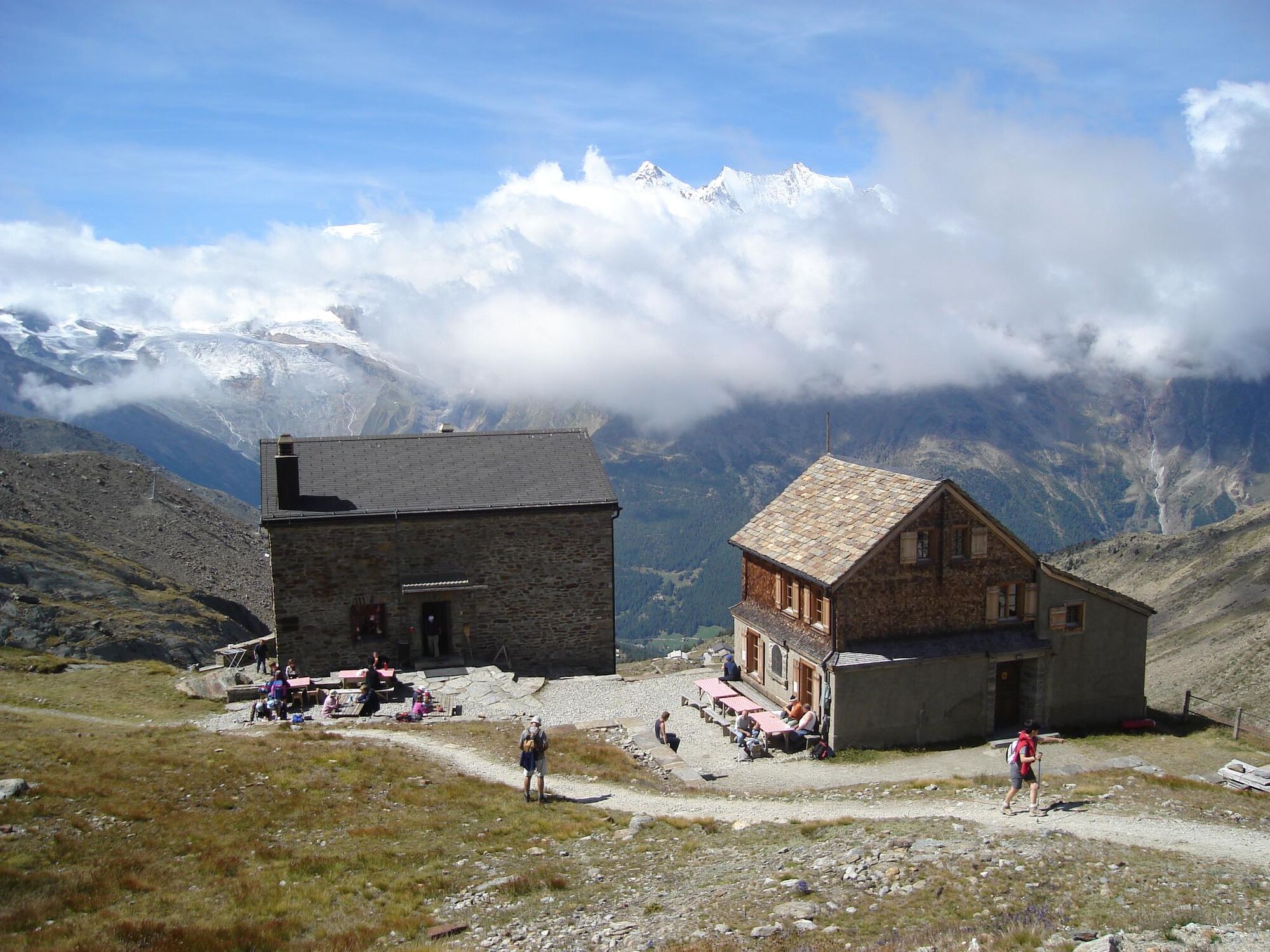
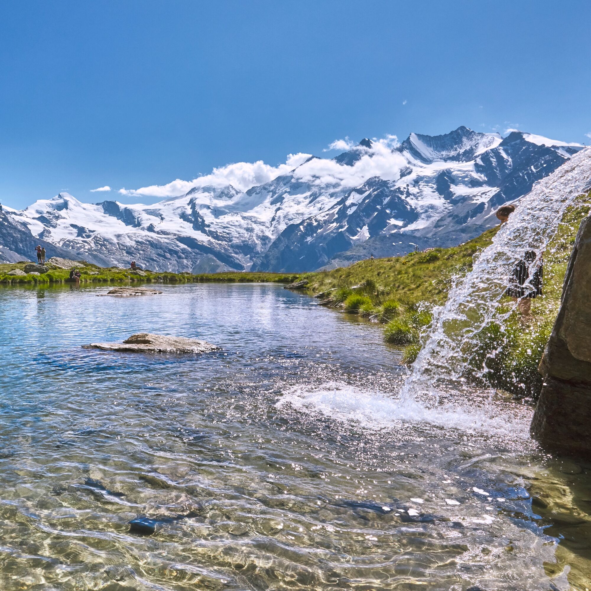
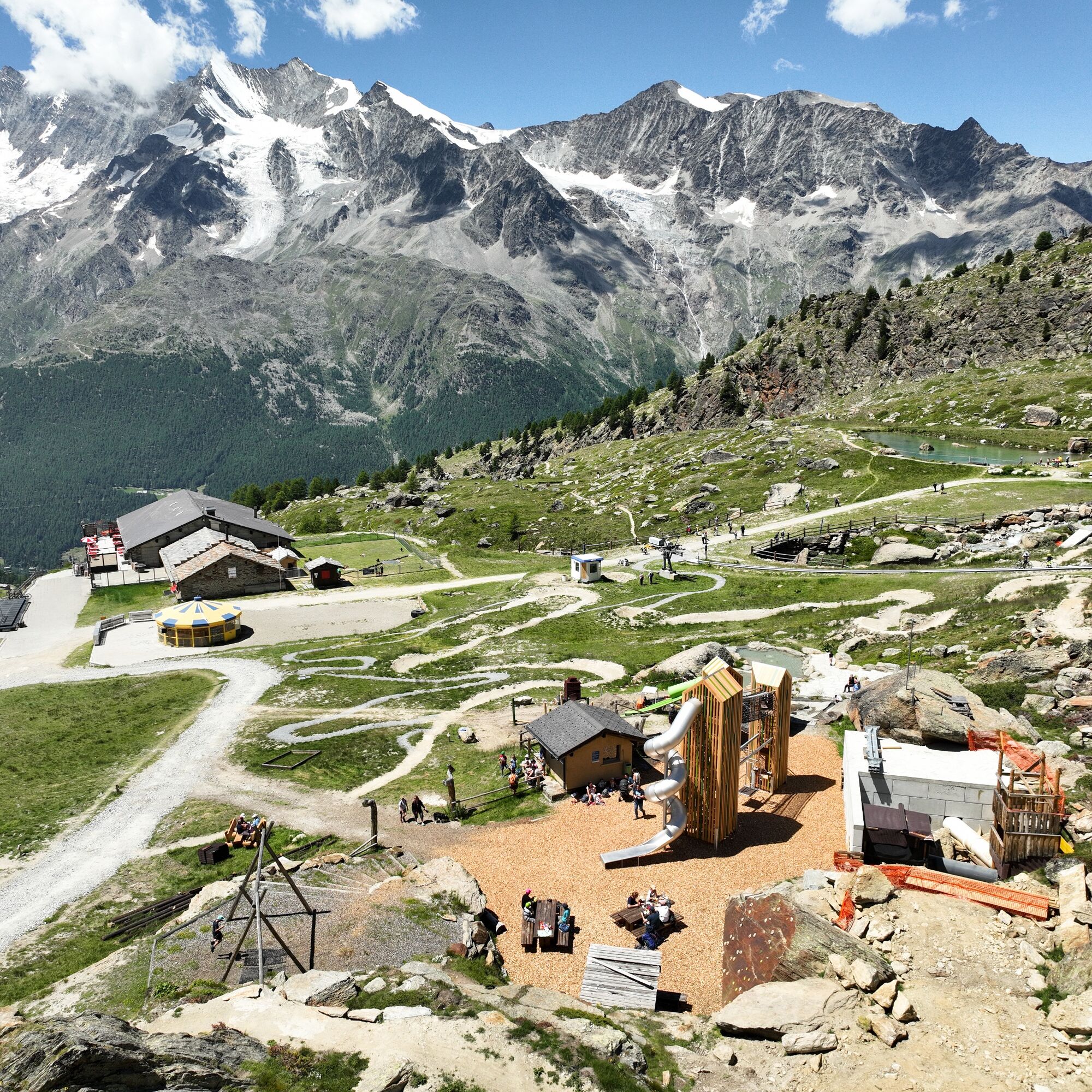
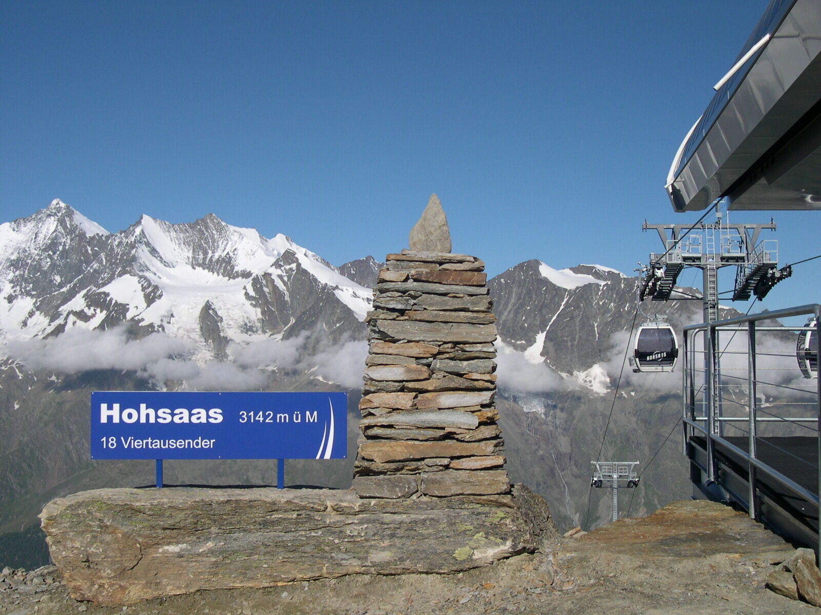
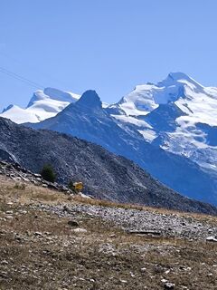
After a break at the Weissmieshütte, the path continues towards Hohsaas via the Tamatter slope and then turns south at the edge onto the moraine ridge. Along the moraine, it continues into a small valley. The final ascent leads diagonally across the slope onto the ridge on which the cable car runs. Follow this ridge to the Hohsaas mountain station. Once at the top, you can enjoy a unique panorama of 18 four-thousanders and food service at the Hohsaas mountain restaurant. The descent can be eased by taking the cable car.
Note: Above the Weissmieshütte up to the Hohsaas mountain station, snowfields are still present. Good footwear is strongly recommended!
Kreuzboden - Weissmieshütte - Hohsaas
Tak
Tak
Good footwear
Outdoor clothing
Weather-dependent clothing: always carry a waterproof jacket
Headwear
Sunscreen
Water bottle
Binoculars (optional)
Camera
Hiking poles (optional)
Map/printout of the hiking trail (click "Print" to download)
First aid kit
Pay attention to the opening hours of the cable cars.
Allow enough time.
The Saas Valley is easily and conveniently accessible by car from all directions, whether from Switzerland or abroad. From the north you can reach us via Bern through the Lötschberg car shuttle. From the east you come via the Furka Pass or the Furka car shuttle. From the south we are accessible via the Simplon Pass or the Simplon car shuttle, and from the west you drive via Lausanne along the Rhone valley to Visp and from there towards Saas-Fee.
From Visp drive south towards Saas-Fee. At the "Killerhof" roundabout near Stalden, take the second exit to Saas-Fee. In Saas-Grund you will see the valley station on the left side.
Take the SBB to Visp and transfer there to the postbus towards Saas-Fee (Bus 511).
In Saas-Grund get off at the "Bergbahnen" stop and take the Saas-Grund - Kreuzboden cable car (= Chrizbodu).
Parking is available directly at the cable car station
T2
Saastal Tourismus AG
Obere Dorfstrasse 2
CH- 3906 Saas-Fee
Tel.: +41 (0)27 958 18 58
E-Mail: info@saas-fee.ch
www.saas-fee.ch
Bergbahnen Hohsaas AG
Seilbahnstrasse 18
CH- 3910 Saas-Grund
Tel.: +41 (0)27 958 15 80
E-Mail: info@hohsaas.ch
www.hohsaas.ch
Weissmieshütte
Fam. Carla und Arnold
CH- 3910 Saas-Grund
Tel. +41 (0)27 957 25 54
E-Mail: huette@weissmieshuette.ch
www.weissmieshuette.ch
Mountain restaurant Hohsaas
Family Urban Burgener
3910 Saas-Grund
Tel. +41 (0)27 957 17 08 or Tel. +41 (0)78 789 07 87
E-Mail: info@hohsaas-bergrestaurant.ch
www.hohsaas-bergrestaurant.ch
Take a break on the sun terrace of the Weissmieshütte.
Kamery internetowe z trasy

Popularne wycieczki w okolicy
- 4,9
Allalinhorn vom Mittelallalin über Normalweg
średniWycieczka wysokogórska 6,15 km - 3,3
Europaweg Grächen - Europahütte - Zermatt
ciężkiWędrówka 39,9 km - 3,6
Höhenweg Kreuzboden - Almagelleralp - Saas-Almagell
Wędrówka 9,74 km - 3,5
Waldweg Saas-Fee - Saas-Almagell
Wędrówka 2,83 km - 3,8
Höhenweg Saas-Fee - Grächen
Wędrówka 12,0 km - 5,0
Weissmies Südgrat von Saas Almagell
średniWycieczka wysokogórska 20,5 km - 5,0
Marmot mountain path Spielboden
średniWędrówka 3,89 km - 5,0
Via ferrata Jägihorn
ciężkiVia ferrata 6,14 km - 3,5
Saas-Fee - Gemsweg - Hannig - Plattjen
Wędrówka 6,89 km - 5,0
Ibex path
średniWędrówka 9,02 km
Wędrówki i tropienie


Nie przegap ofert i inspiracji na następne wakacje
Twój adres e-mail została dodana do listy mailingowej.