






Through the Vallon de They to the sources of the Vièze


The path from Morgins to the sources of the Vièze river shows the different ways water has shaped the landscape. The hike passes mineral-rich springs, a waterfall, mountain lakes, and charming restaurants...
The path from Morgins to the sources of the Vièze river shows the different ways water has shaped the landscape. The hike passes mineral-rich springs, a waterfall, mountain lakes, and charming restaurants and mountain inns where you can stop and enjoy the scenery.
The starting point of the hike is the centre of Morgins. The path then climbs up to the banks of the Vièze, where you soon encounter the first highlight, “the red springs,” the iron-rich water that attracted the first tourists to Morgins in 1820.
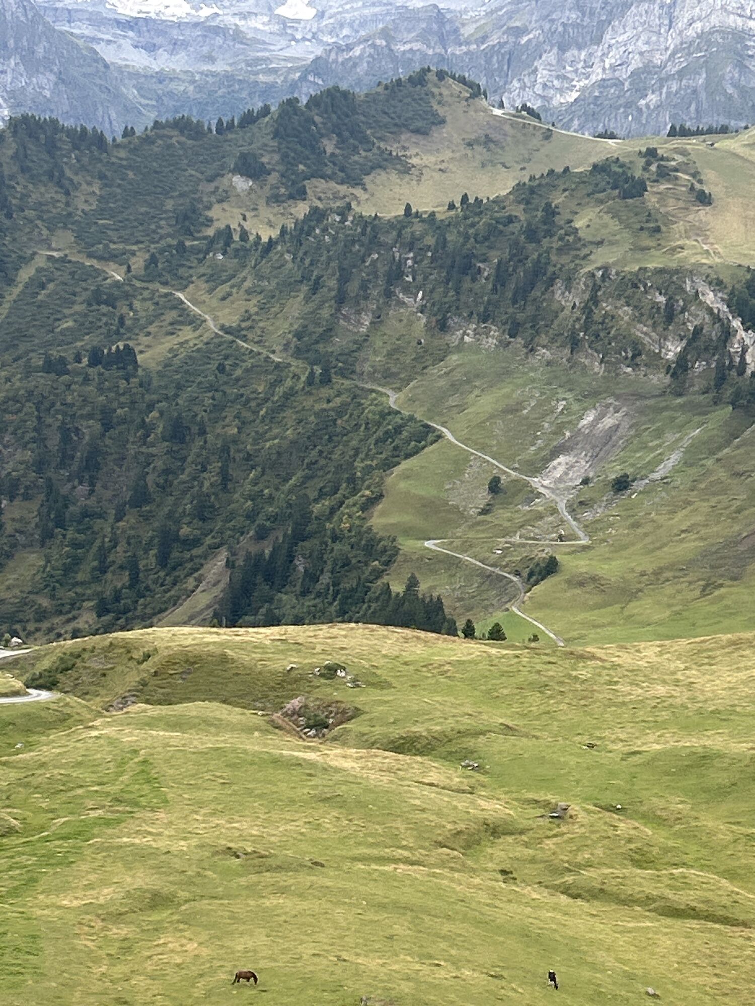
The hike then continues along the bank, past the restaurant Cantine de They into higher areas of the valley. Over a steep zigzag path, it goes right up to the waterfall, the Fontaine-Blanche – which gives the impression that the water flows directly out of the bare rock.
This is one of several characteristic features of a karst landscape: water streams that disappear underground in karst sinkholes (dolines) and then reappear at the foot of the rock as a spring, a sinkhole, and bizarre rock shapes created by the water.
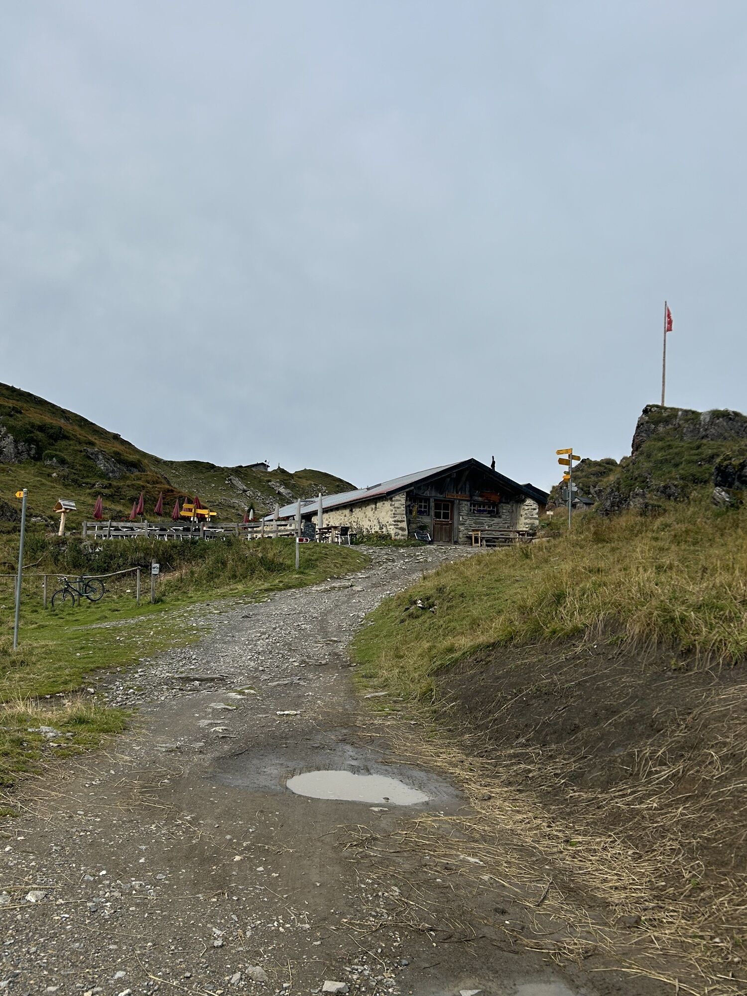
Furthermore, the path climbs up to Lac de Chésery (which is fed by underground water streams to the Fontaine Blanche) and even higher to Lac Vert. There is the mountain inn Refuge de Chésery (1,985 m), a former stable from the 19th century renovated in 1987. A highlight is the tasty food and the chance to fish for brown and rainbow trout in the lake.
The hike then goes over two passes – including the Portes du Soleil, which gave its name to the whole region – before descending to La Tovassière, an alpine dairy and a restaurant with local specialties and dishes with local cheese.
Afterwards, you reach the valley floor and the path follows the Vièze back to Morgins.
Highlights:
Vallon de They – idyllic, untouched mountain landscape Variety of landscapes: forests, open meadows, mountain lakes, waterfalls, and mountain passes Numerous opportunities to stop along the wayNB The mountain inn Refuge de Chésery is open until the end of September.

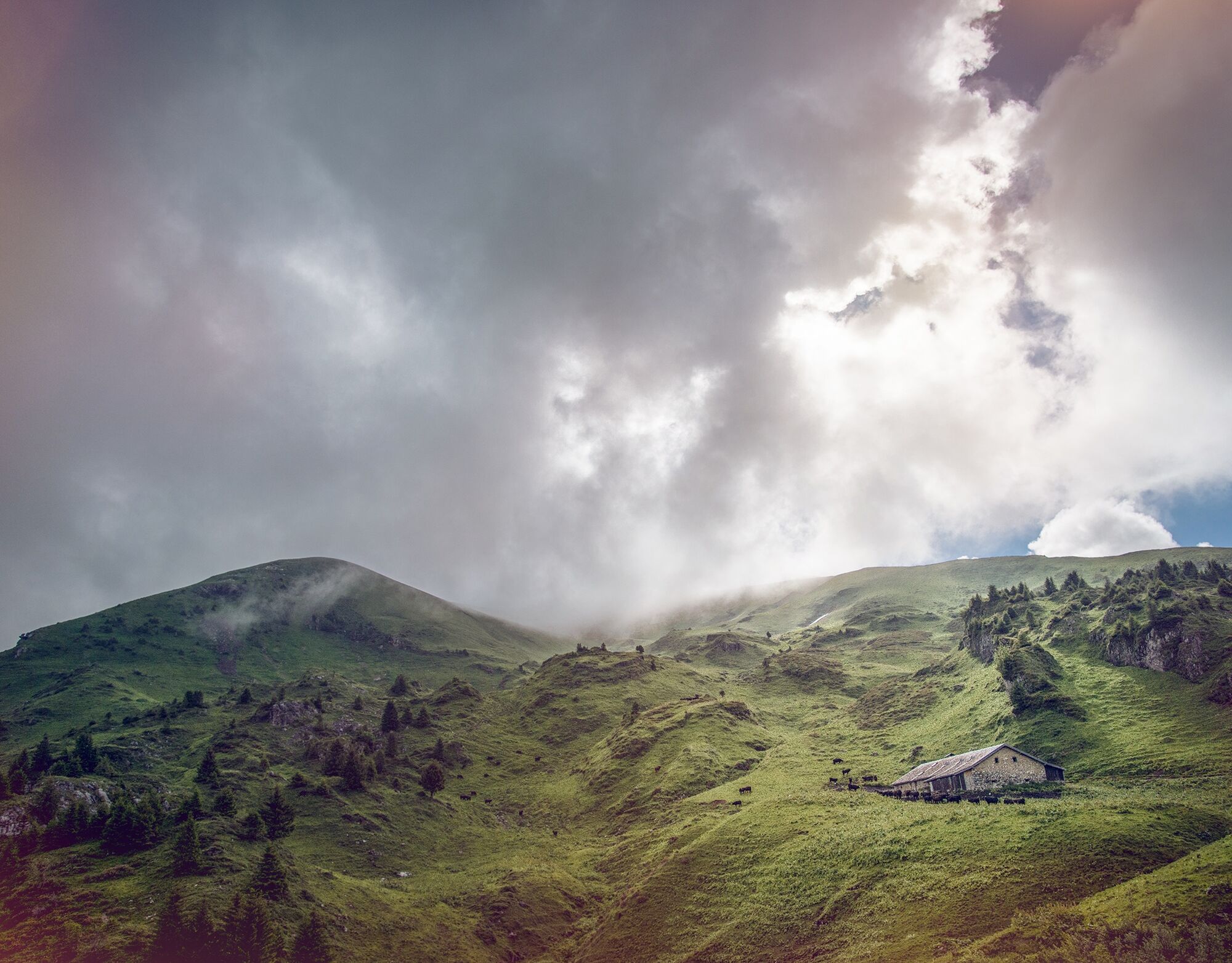
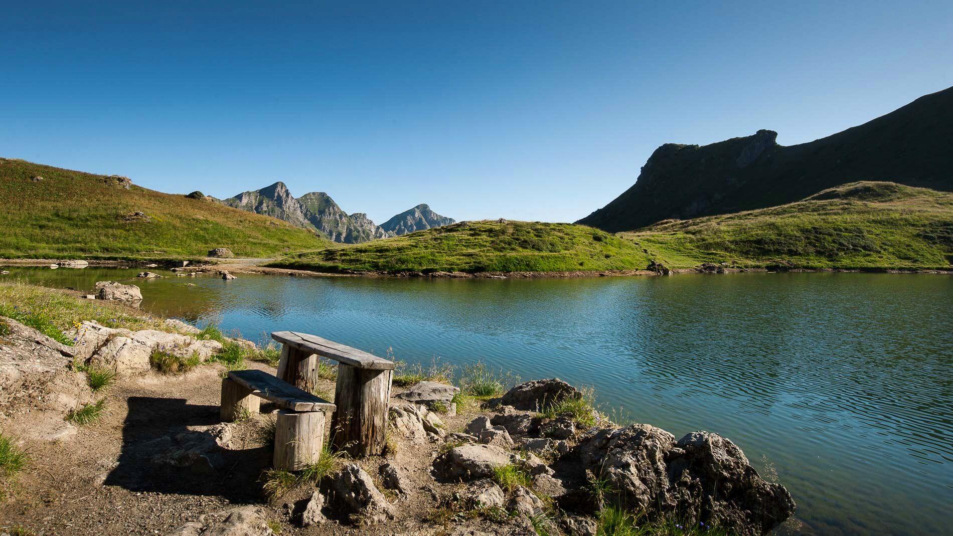

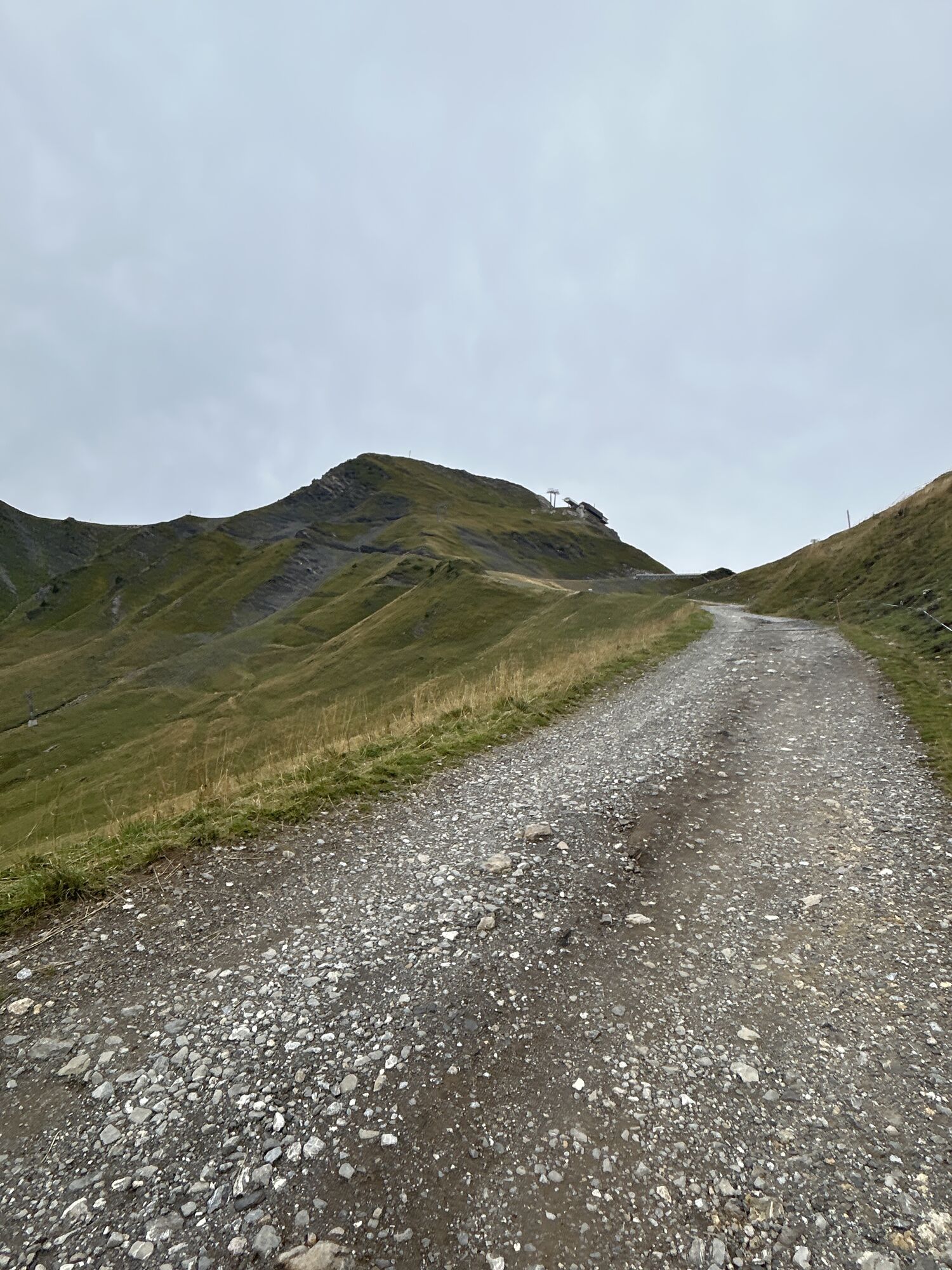
From the tourist office, you first follow the road up to the valley before branching off onto a footpath after 500 m. The path follows along the valley to Sassey, where it starts to climb steeply to the western sources of the Vièze – including a waterfall and two mountain lakes – and then over the highest point of the hike: the mountain pass Portes de l'Hiver.
The path then descends to the second pass – the Portes du Soleil – before heading north again and then following another tributary of the Vièze via La Tovassière down to the valley floor, where it returns to the first section of the route.
Tak
Tak
We recommend:
Good footwear Weather-dependent clothing: always carry a waterproof vest Headwear Sunscreen Water bottle Picnic Camera Binoculars (optional) Walking sticks (optional) Printout of the hiking trail (click “Print” to download)For certain hikes:
SwimsuitThis route has not been approved by the Canton of Valais under the Recreational Trails Act. Use of the routes and information on this website is the responsibility of the user. Local conditions may lead to changes in the route. We assume no liability for the accuracy and completeness of the information on the website.
Mountains, a place of joy to share and respect. The mountain world is a place to meet and experience unforgettable moments together – whether by bike or on foot. For all users to benefit, it is essential to share this space with respect towards nature and agriculture. Respectful behaviour enables everyone to carry out their leisure activities under the best conditions. Inform yourself about recommendations and rules. Assess your own skills and fitness well. Use of the different routes is fundamentally at your own risk.
For all hikes:
Carry a map. Download the complete description of the hiking trail with a large-scale map by clicking “Print” at the top right of the page. Use only marked hiking trails and observe all signposts and instructions – for your own safety, to protect grazing animals, and out of respect for wildlife. Close gates after passing through. Behave considerately towards other trail users, plants, and animals.For mountain hikes:
Carry additional sunscreen. UV rays at high altitudes can be very strong, even in cloudy weather. Plan your hike carefully: consider the required fitness level of all participants, weather forecasts, and seasonal dependencies. Weather conditions in the mountains can change very quickly and without warning. Appropriate clothing and sufficient provisions (food and drink) are very important. In unsettled weather, it is better to turn back early.For high alpine hikes:
Inform your family about your hiking route. Avoid going alone if possible. Do not go onto glaciers without a mountain guide. Observe warning signs indicating danger at riverbanks, along watercourses below dams and reservoirs: water levels can rise rapidly and without warning.Motorway A9, exit 18 (St-Triphon) coming from the north or exit 19 (Bex) from the south. Follow the signs for Monthey and then Morgins.
Train to Monthey, then regional train to Troistorrents, and then bus to Morgins. Detailed timetables for trains and postbuses can be found at sbb.ch.
Parking available in Morgins. Follow the local parking guidance system in Morgins.
More information about the destination:
MorginsKeep an eye out for wildlife around Lac Vert: frogs, toads, tadpoles, small fish, trout, and alpine newts.
Uzyskaj wgląd Zawsze na żywo z ponad 9 500 kamer internetowych. bergfex Jako użytkownik Pro, możesz teraz zobaczyć odpowiednie kamery internetowe dla wielu wycieczek w aplikacji wycieczki od. Pozwala to na bezpośredni podgląd aktualnych warunków. Popularne wycieczki w okolicy
- 4,0
Chemin du Lac de Taney
średniWędrówka 8,60 km - 5,0
Sentier de Salanfe
średniWędrówka 12,8 km - 5,0
Circular hike Roc Coupé – Bonavau – Champéry
średniWędrówka 12,1 km - 5,0
Morgins - Col des Portes du Soleil
światłoWycieczka narciarska 15,2 km - 4,7
Le Grammont
światłoWędrówka 13,8 km - 4,5
Galerie Défago
światłoWędrówka 8,81 km - 5,0
Champéry - Sous Scex
Wędrówka 2,41 km Champéry - Seen von Antème
Wędrówka 14,8 km- 4,0
Circular hike to the Lacs d’Antème
ciężkiWędrówka 16,3 km - 3,0
Sentier des alpages de Vionnaz
światłoWędrówka 13,6 km
Wędrówki i tropienie


Nie przegap ofert i inspiracji na następne wakacje
Twój adres e-mail została dodana do listy mailingowej.





