


Pointe de Bellevue
For trail fans, the many mountain chains in the Portes du Soleil area present a real challenge. Experienced athletes will especially appreciate the routes that allow them to climb numerous passes and peaks...
For trail fans, the many mountain chains in the Portes du Soleil area present a real challenge. Experienced athletes will especially appreciate the routes that allow them to climb numerous passes and peaks across the border between Switzerland and France against an exceptional backdrop. The Pointe de Bellevue, which peaks at 2041 meters above sea level, offers a magnificent view of the surrounding mountain ranges and Lake Geneva. A panorama board allows you to admire the most beautiful peaks of the Alps, such as the Chablais massif, the Dents du Midi, Mont Blanc, and many other four-thousand-meter peaks.


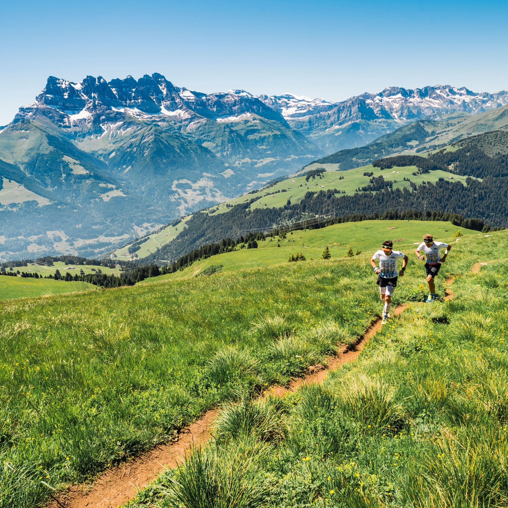
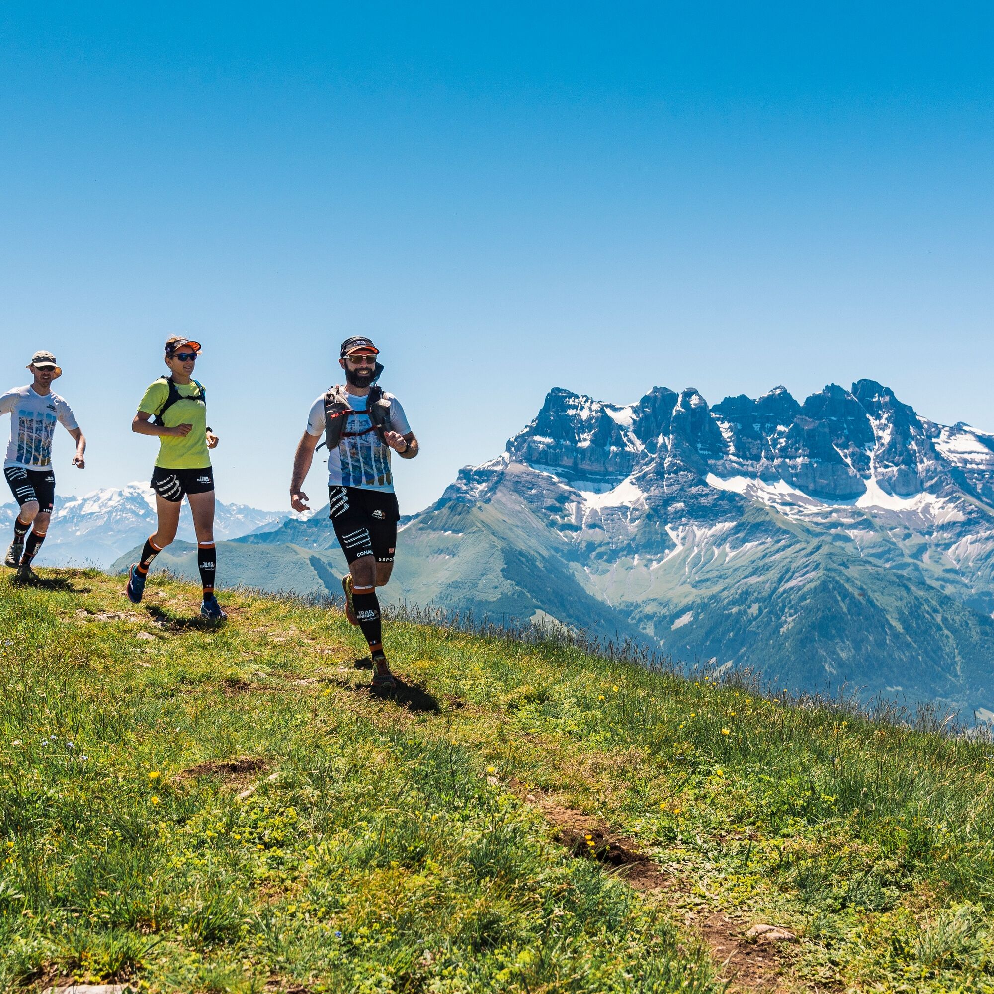
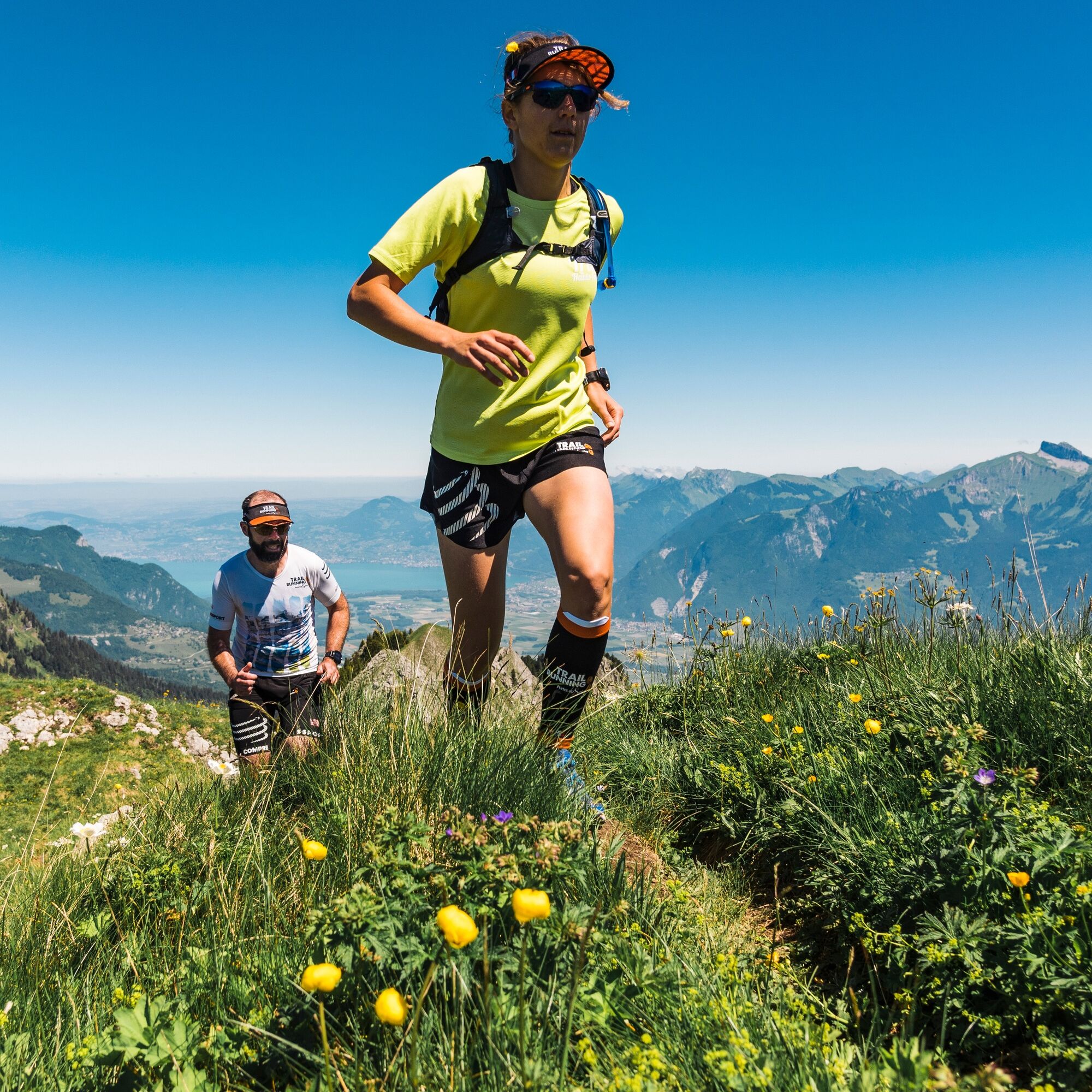
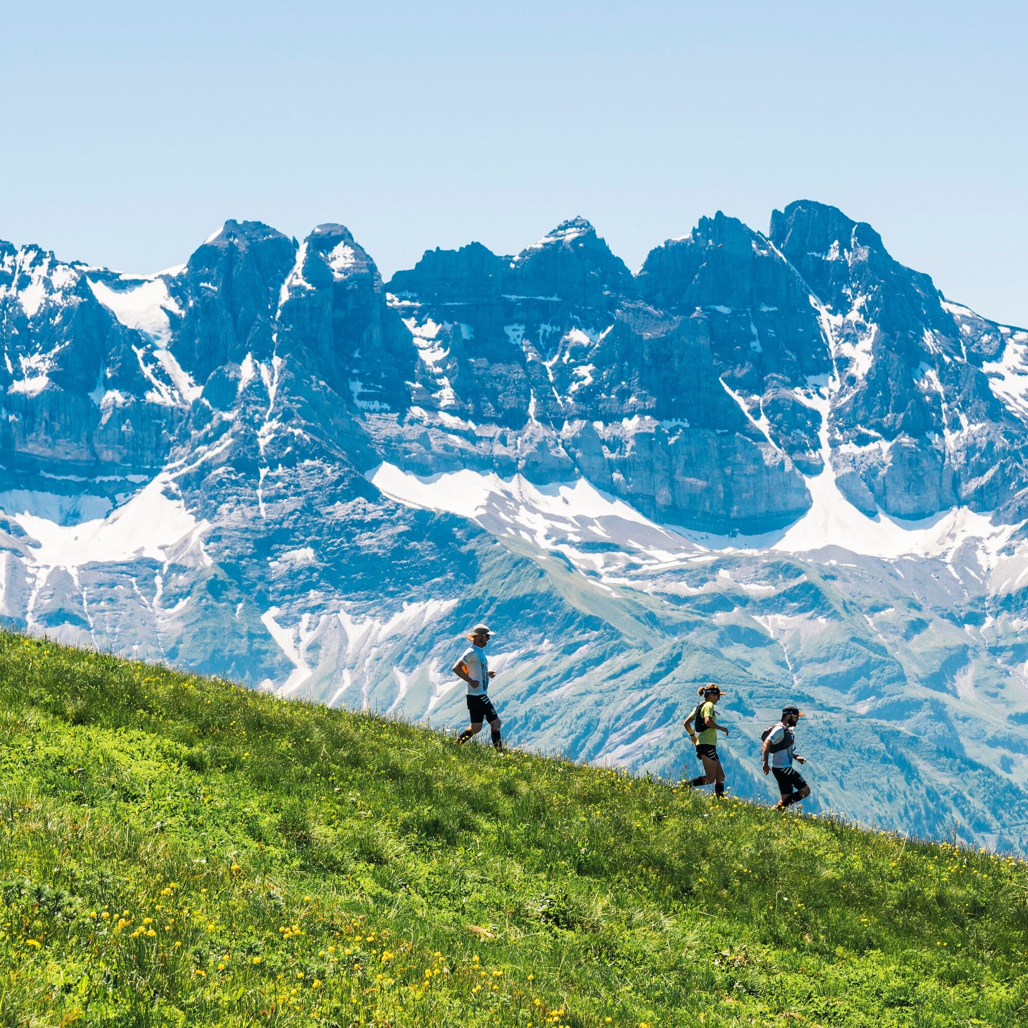
From the center of the village Morgins, you gain altitude when choosing the steep road from the Sépaz district. Continue to follow the path along the southern slope of the Morgins valley, enjoying the lush meadows and refreshing forests. At your walking pace, you reach the Pointe de Bellevue and admire the breathtaking panorama of the Chablais plain and Lake Geneva from its summit. Start the return journey under the aegis of the Dents du Midi massif. Upon reaching the French-Swiss border, take time to admire the Morgins Lake nature reserve before returning to your starting point.
Tak
Tak
Tak
We recommend:
Good running shoes Weather-dependent clothing: always carry a waterproof vest Headwear Sunscreen Water bottle Trail polesUse of the trail paths and information on this website is at your own risk. On-site conditions may cause changes to the route. Valais/Wallis Promotion assumes no responsibility for the accuracy and completeness of the information on this website.
For all trails:
Use only marked trail paths and follow all signs and instructions - for your own safety, for the protection of grazing animals, and in respect of wildlife. Close gates after passing through. Be considerate of other path users, plants, and animals.For mountain trails:
Bring extra sun protection. UV rays at high altitudes can be very strong, even on cloudy days. Plan your trail carefully: consider the required fitness level of all participants, weather forecasts, and seasonal conditions. Weather conditions can change rapidly and without warning in the mountains. Appropriate clothing and provisions (food and drink) are very important. In unstable weather, better turn back early. Inform your family about your trail route. Avoid being alone if possible. Observe warning signs about dangers at riverbanks, along watercourses below dams and reservoirs: water levels can rise quickly and without warning.From the A9 motorway take the St-Triphon exit and follow the signs to Morgins. The trailhead is located in the center of the village Morgins.
Take the AOMC train to Troistorrents, then the bus to Morgins to the Poste - Village stop.
Free parking is available at Place du 6 Août and Place du Village in the center of Morgins.
More information about the destination:
Portes du SoleilStop on the way back at Chalet Chanso and enjoy regional specialties on the sunny terrace.
Popularne wycieczki w okolicy
- 4,0
Chemin du Lac de Taney
średniWędrówka 8,60 km - 5,0
Sentier de Salanfe
średniWędrówka 12,8 km - 5,0
Circular hike Roc Coupé – Bonavau – Champéry
średniWędrówka 12,1 km - 5,0
Morgins - Col des Portes du Soleil
światłoWycieczka narciarska 15,2 km - 4,7
Le Grammont
światłoWędrówka 13,8 km - 4,5
Galerie Défago
światłoWędrówka 8,81 km - 5,0
Champéry - Sous Scex
Wędrówka 2,41 km Champéry - Seen von Antème
Wędrówka 14,8 km- 4,0
Circular hike to the Lacs d’Antème
ciężkiWędrówka 16,3 km - 3,0
Sentier des alpages de Vionnaz
światłoWędrówka 13,6 km
Wędrówki i tropienie


Nie przegap ofert i inspiracji na następne wakacje
Twój adres e-mail została dodana do listy mailingowej.