







Mattmark Challenge - 50K Mischabel Trail
Poziom trudności: T3
Notes:
In Saas-Almagell, the lakeside path between Webstube and Zermeiggern is closed due to construction work. At the Webstube, turn left over the bridge and walk on the left lakeside to Zermeiggern....Notes:
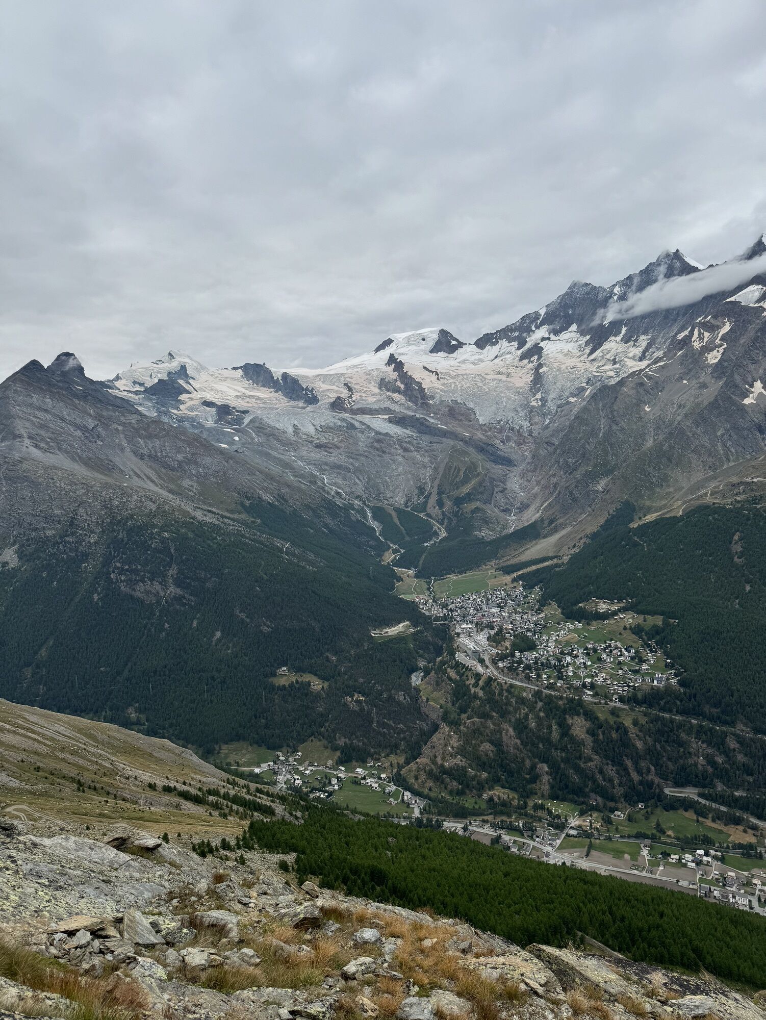
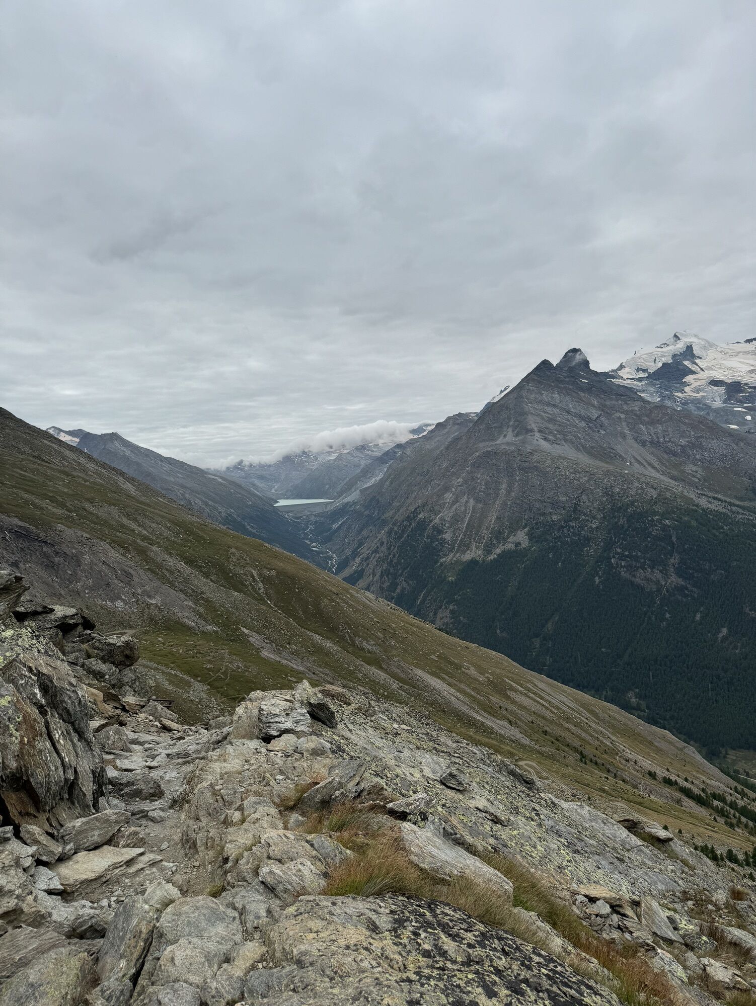
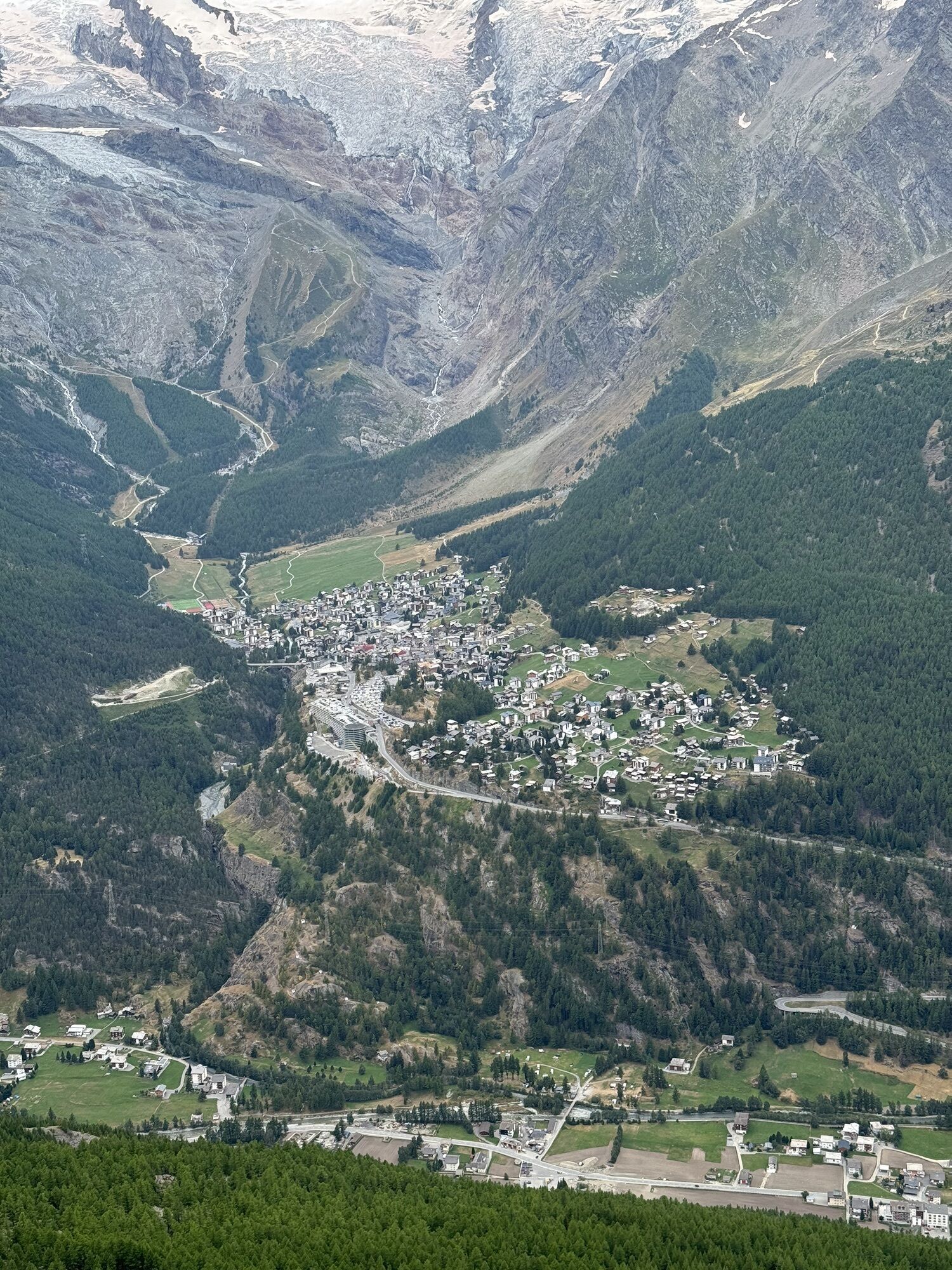
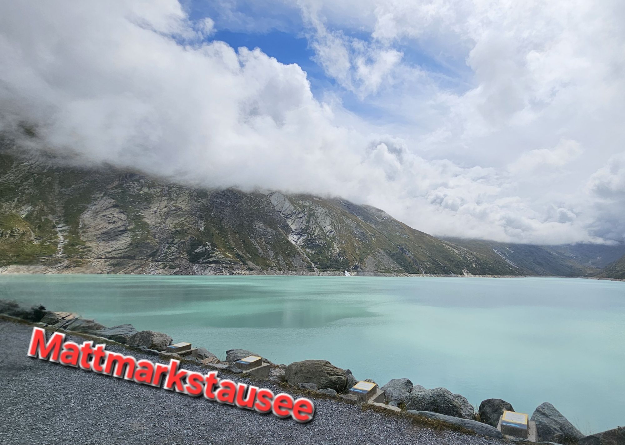
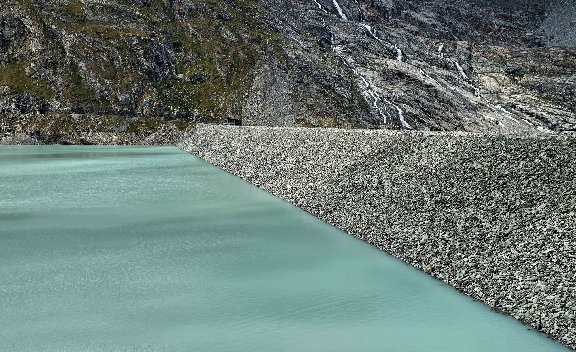
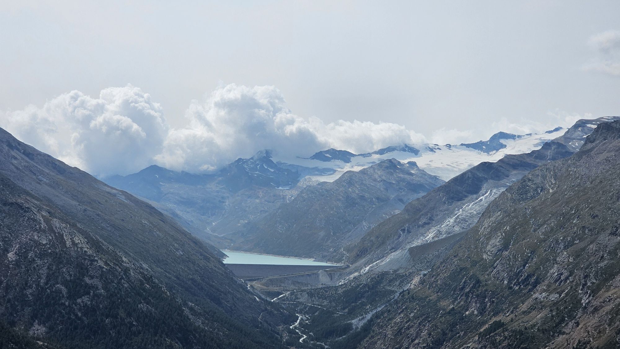
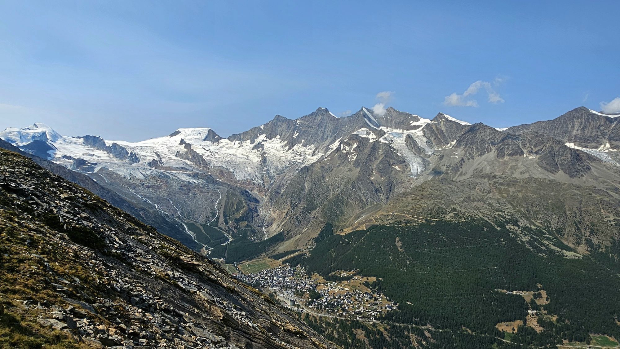
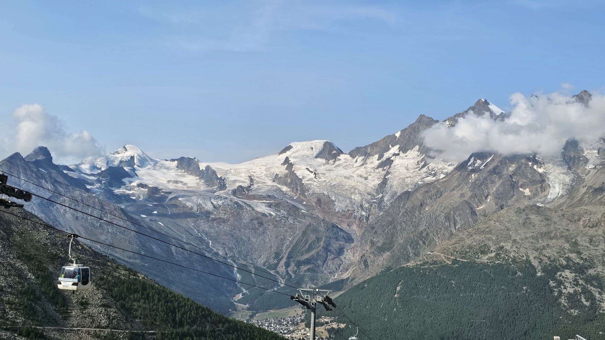
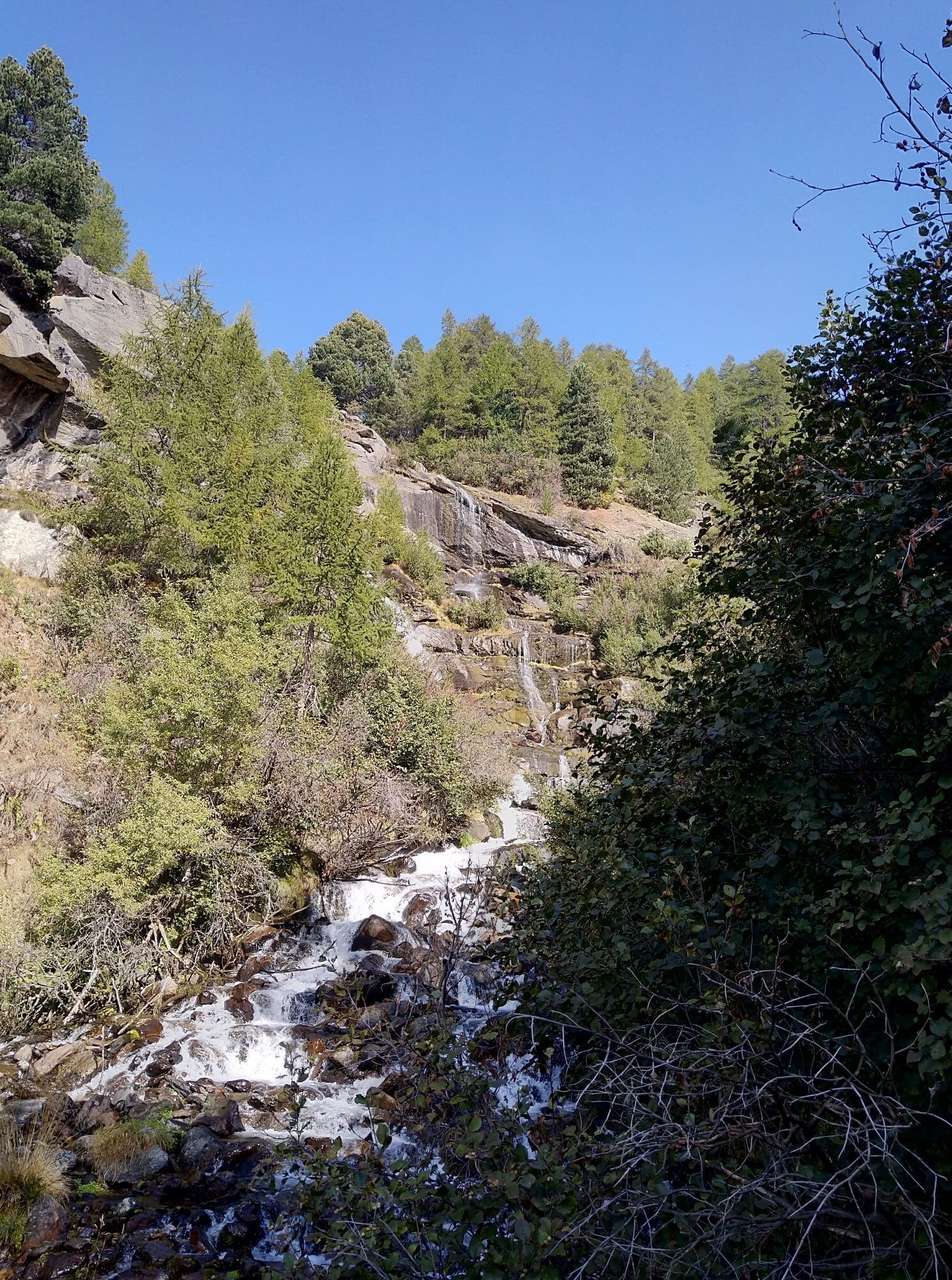
In Saas-Almagell, the lakeside path between Webstube and Zermeiggern is closed due to construction work. At the Webstube, turn left over the bridge and walk on the left lakeside to Zermeiggern. The dam is currently not accessible on the original route (east). Therefore, please walk directly below the highway to the Mattmark restaurant.Those who dare to participate in the Mischabel Trail will reach their limits and will be rewarded with an incomparable nature experience. The panoramic view of the highest mountains of Switzerland is unique, as are the technically demanding trails and the finish at the largest earth dam in Europe, the Mattmark lake.
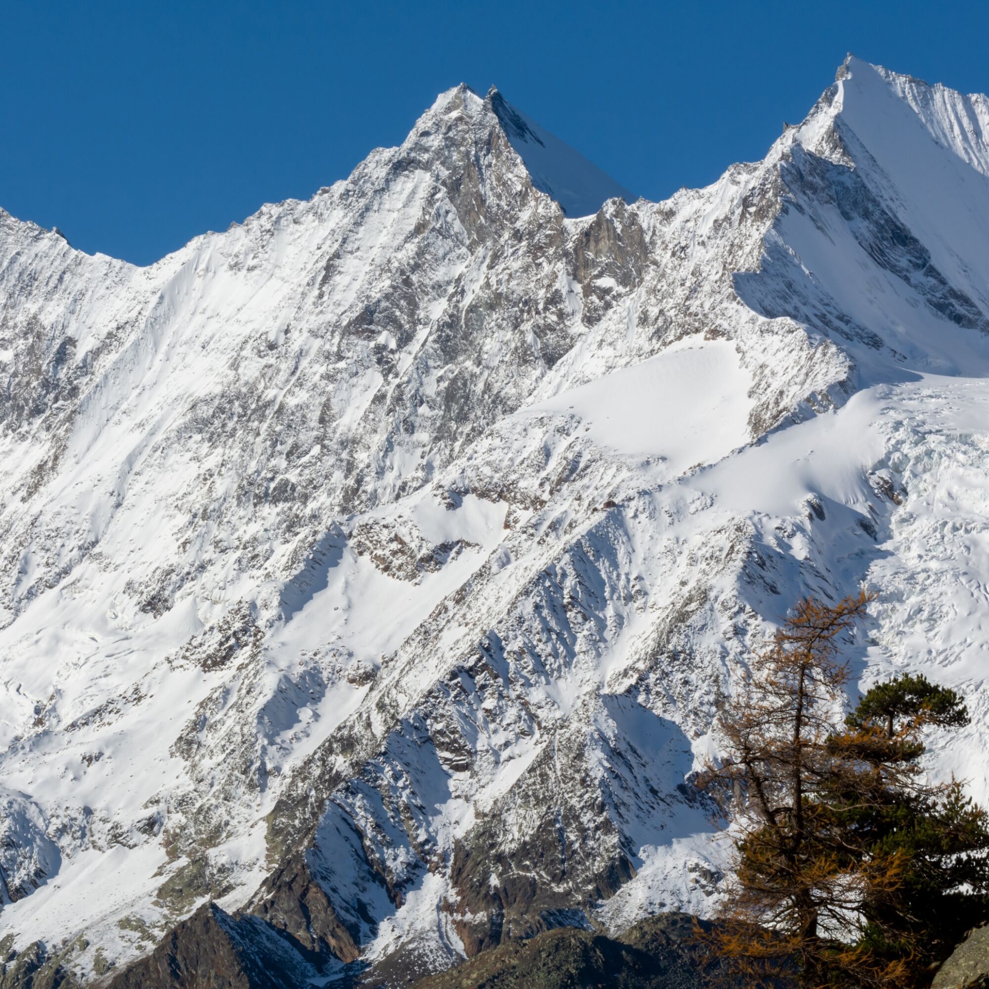
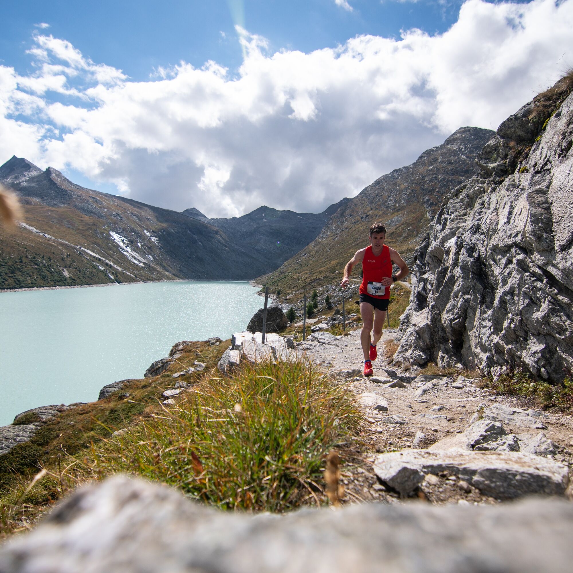

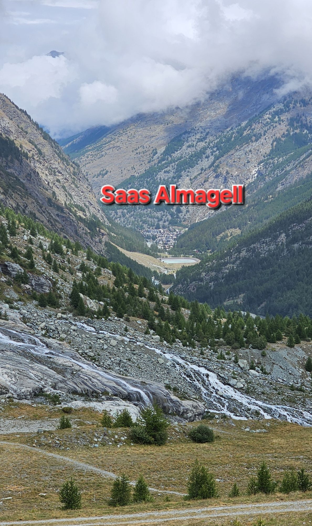
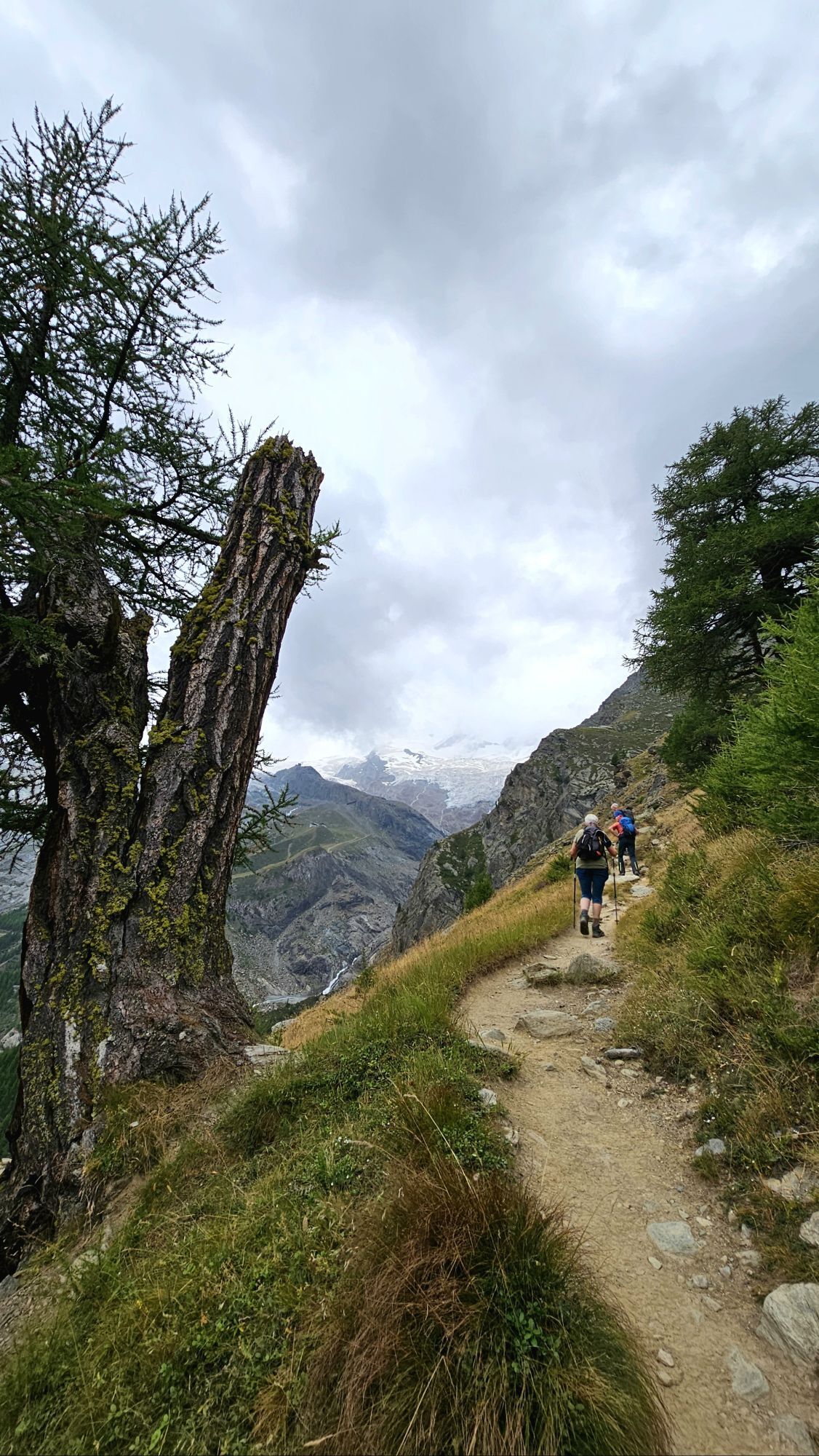
Saas-Balen – Grubenalp – Kreuzboden – Weissmies hut – Saas-Almagell – Saas-Fee – Hannig – Plattjen – Almagell – Mattmark.
Kit for cold temperatures:
Additional warm clothing Warm gloves Waterproof overpants Extra warm microfiber long-sleeve shirtUse of the hiking trails and the information on this website is at your own risk. Conditions on site may lead to route changes.
Use only marked hiking trails and observe all signposts and instructions - for your own safety, to protect grazing animals, and out of respect for wildlife. Close gates after passing through. Behave considerately towards other trail users, plants, and animals. Take additional sun protection. UV rays at high altitudes can be very strong, even in overcast weather. Plan your trail carefully: consider the required fitness level of all participants, weather forecasts, and seasonal variations. Weather conditions in the mountains can change very quickly and without warning. Appropriate clothing and provisions (food and drink) are very important. In unsettled weather, better turn back early. Inform third parties about your trail route and, if possible, do not go alone. Observe warning signs indicating dangers at riverbanks, along watercourses below dams and reservoirs: water levels can rise quickly and without warning.The Saas Valley is easily and conveniently accessible by car from all directions, whether from Switzerland or abroad. From the north, reach us via Bern through the Lötschberg car shuttle. From the east, you come via the Furka pass or the Furka car shuttle. From the south, we are reachable via the Simplon pass or Simplon car shuttle, and from the west, you drive via Lausanne along the Rhône valley to Visp and from there towards Saas-Fee.
From Visp drive south towards Saas-Fee. At the roundabout "Killerhof" towards Stalden, take the second exit to Saas-Fee and follow the main road to Saas-Balen.
Take the SBB to Visp and change there to the PostBus direction Saas-Fee (Bus 511). Get off at Saas-Balen at the stop Dorf.
After the bridge on the right is the public parking lot of Saas-Balen.
T3
Uzyskaj wgląd
Zawsze na żywo z ponad 9 500 kamer internetowych. bergfex Jako użytkownik Pro, możesz teraz zobaczyć odpowiednie kamery internetowe dla wielu wycieczek w aplikacji wycieczki od. Pozwala to na bezpośredni podgląd aktualnych warunków.
Popularne wycieczki w okolicy
-
4,9
Allalinhorn vom Mittelallalin über Normalweg
średniWycieczka wysokogórska 6,15 km -
3,3
Europaweg Grächen - Europahütte - Zermatt
ciężkiWędrówka 39,9 km -
3,6
Höhenweg Kreuzboden - Almagelleralp - Saas-Almagell
Wędrówka 9,74 km -
3,5
Waldweg Saas-Fee - Saas-Almagell
Wędrówka 2,83 km -
4,7
Weissmies Südgrat von Saas Almagell
średniWycieczka wysokogórska 20,5 km -
4,8
Marmot mountain path Spielboden
średniWędrówka 3,89 km -
3,8
Höhenweg Saas-Fee - Grächen
Wędrówka 12,0 km -
5,0
Via ferrata Jägihorn
ciężkiVia ferrata 6,14 km -
5,0
Mountain trail Kreuzboden - Hohsaas
średniWędrówka 4,65 km -
4,5
Ibex path
średniWędrówka 9,02 km
Wędrówki i tropienie


Nie przegap ofert i inspiracji na następne wakacje
Twój adres e-mail została dodana do listy mailingowej.





