



Saillon Bird Trail

Poziom trudności: T1


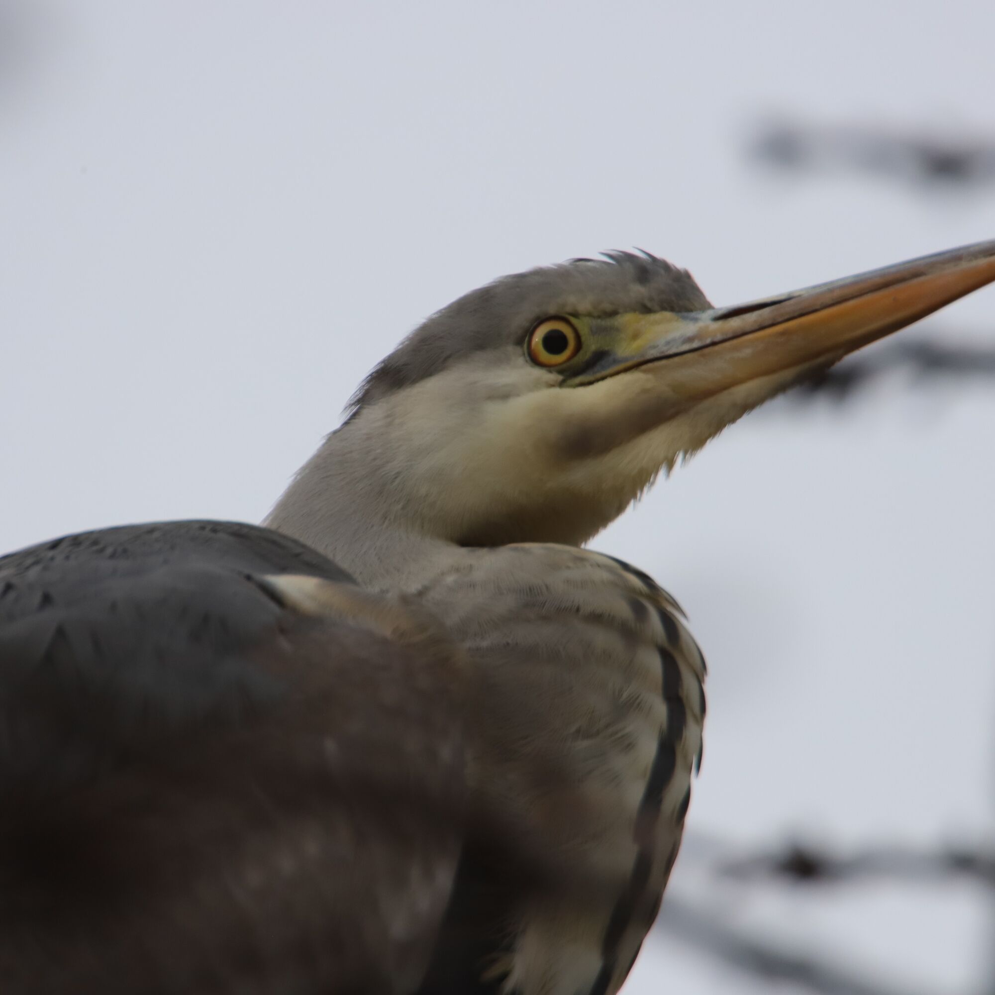
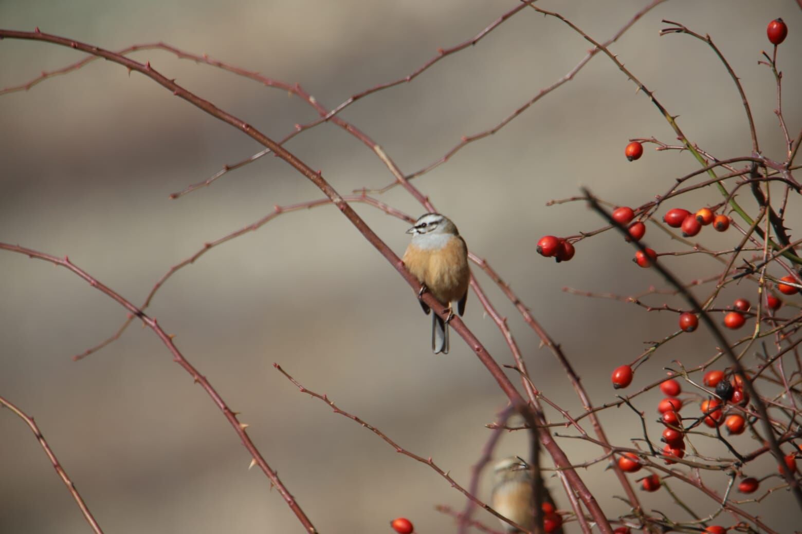
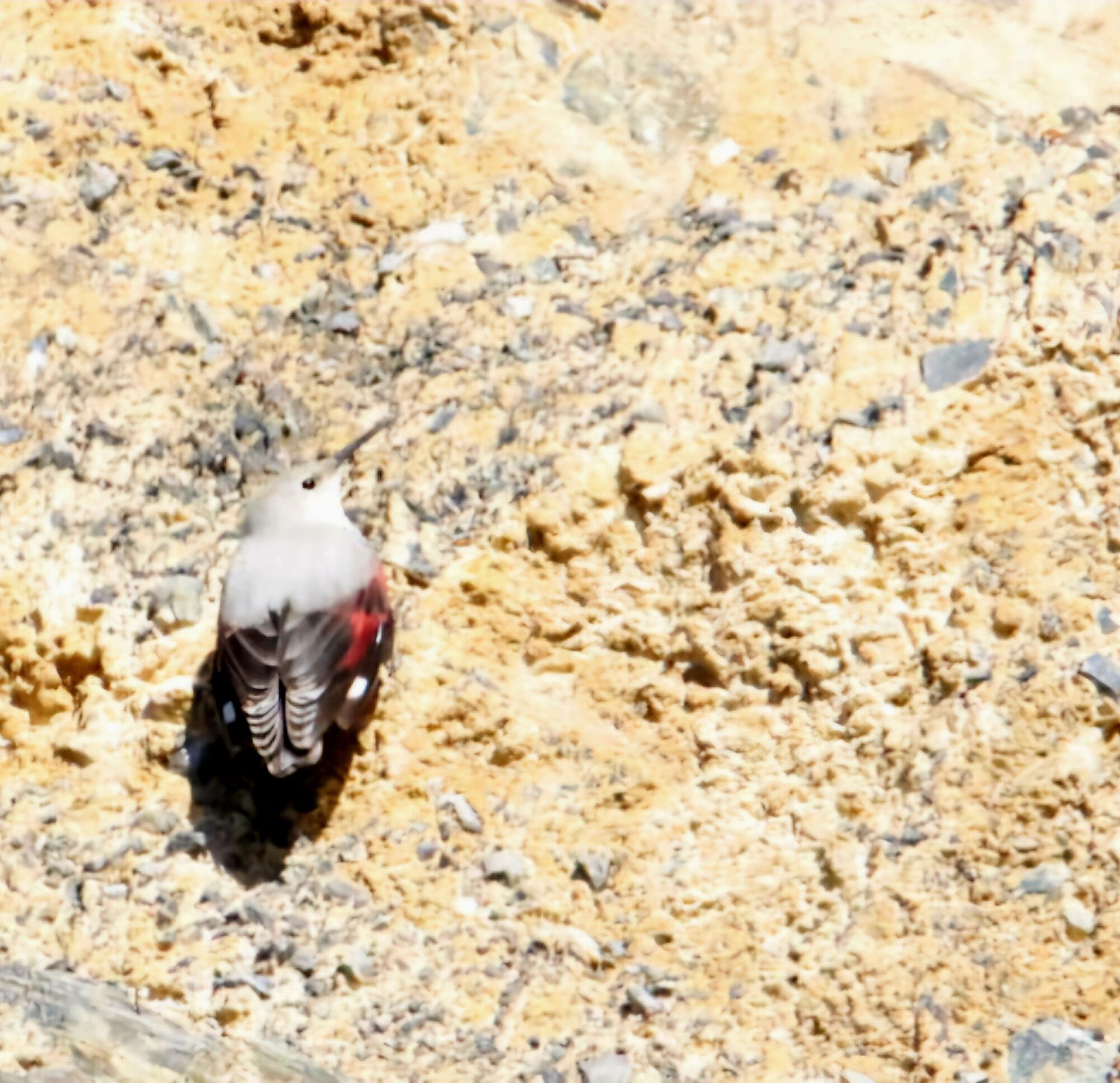
The Saillon Bird Trail invites young and old to explore nature while discovering the local ornithological richness. Through 22 illustrated panels, it presents 86 species with drawings and anecdotes to...
The Saillon Bird Trail invites young and old to explore nature while discovering the local ornithological richness. Through 22 illustrated panels, it presents 86 species with drawings and anecdotes to learn how to observe them. The northern loop runs along a renatured canal, offering a peaceful setting, while the southern loop runs along the banks of the Rhône and crosses a forest. A fun contest and a paper brochure complete the experience. Guided visits are offered on certain dates or on request. Nearby, cafes and restaurants allow for a tasty break. Designed for families and the curious, this trail accessible all year round offers a great opportunity to discover nature up close.

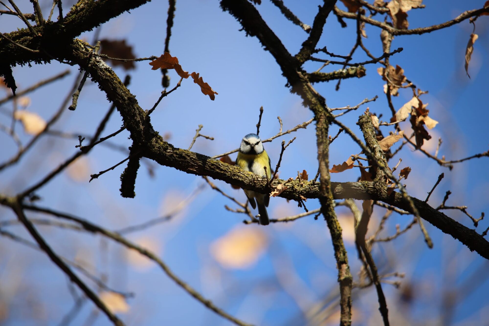
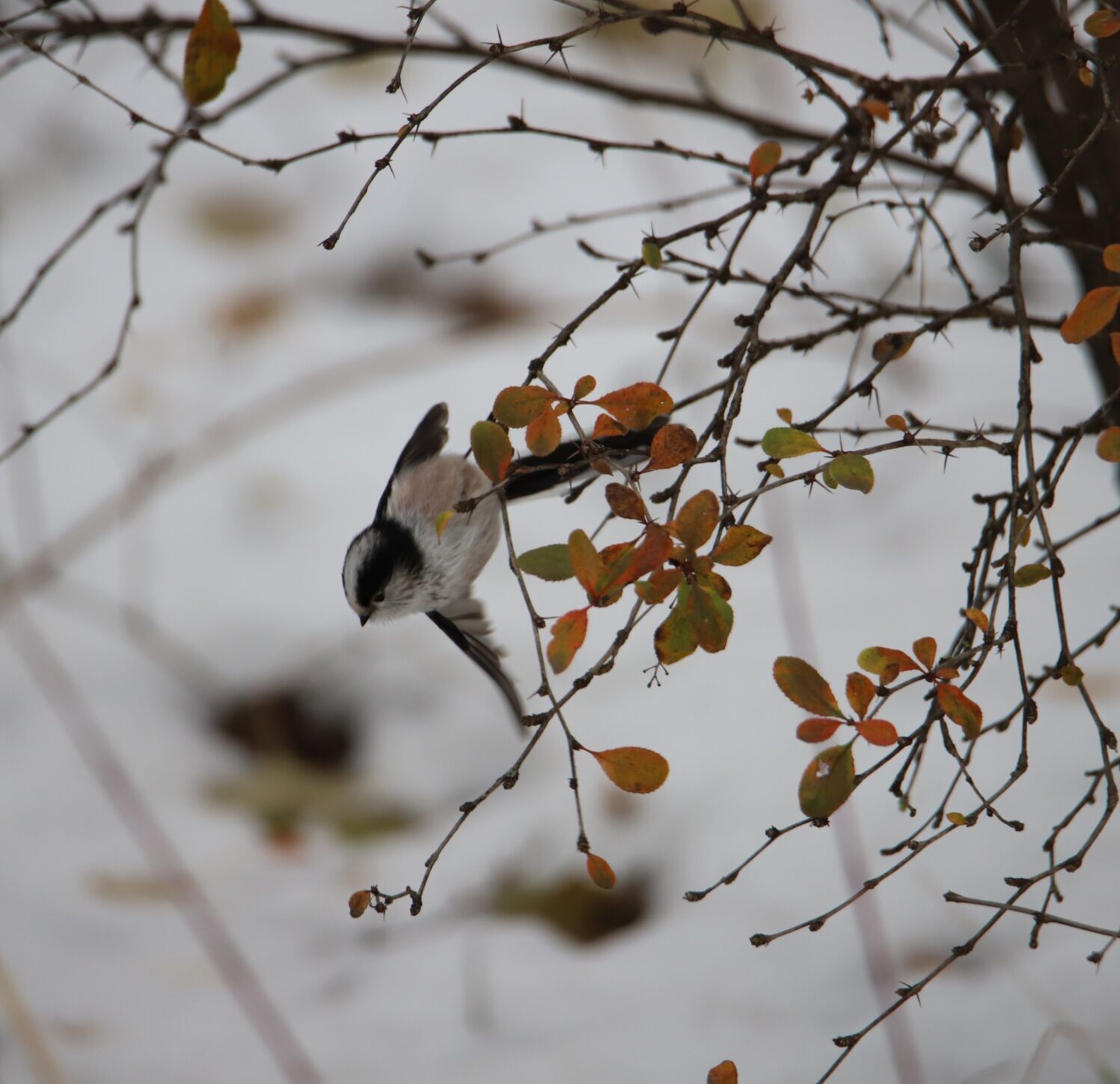
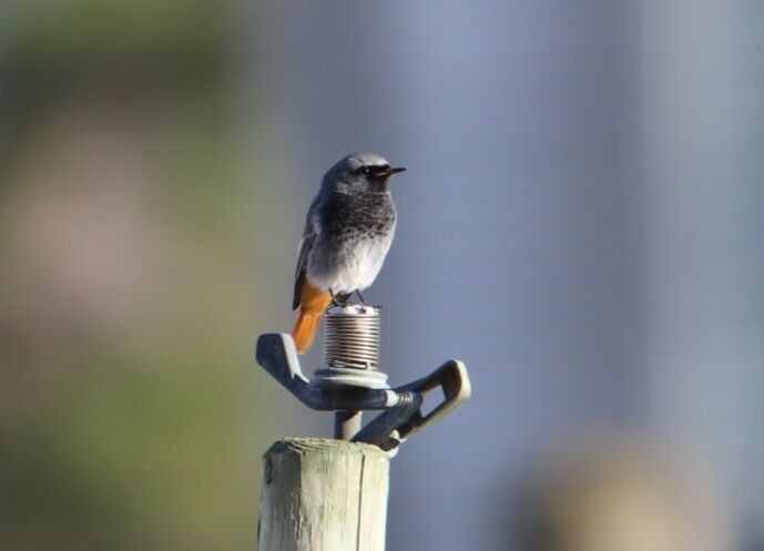
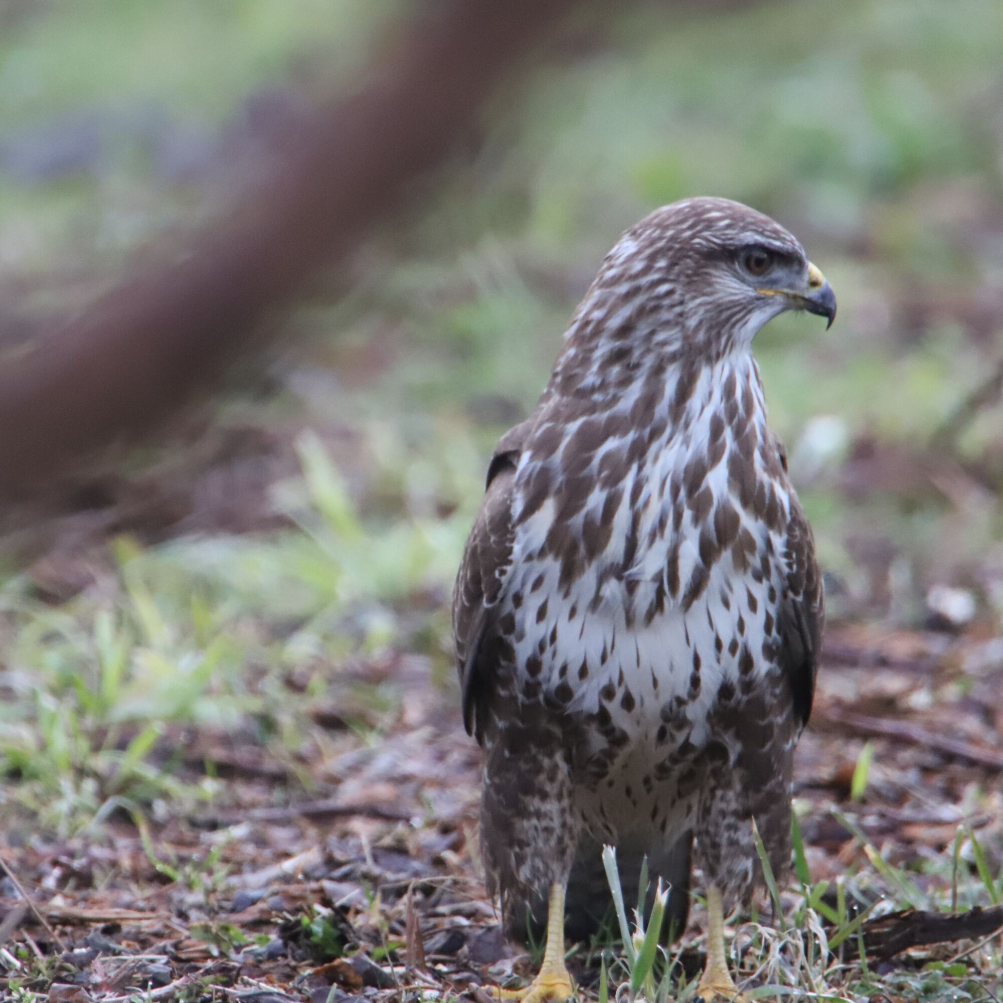

This route details the path to follow if you park your vehicle at Cleusette Bridge, the starting point of the northern loop, before joining the southern loop on foot. You also have the option to park directly at the start of the southern loop to avoid the walking connection.
Start of the northern loop at Cleusette Bridge.
From the bridge, follow the path for 500 m between the vineyards and old Sarvaz. Arrived at the hamlet, turn left, climb the path, pass the hairpin bend, and continue to the rocky promontory. From there, reach the back of the village via the anemone path (400 m) and from the first houses descend the steep road (300 m). At the bottom of the descent, turn right onto the Chemin des Amandiers and walk 450 m to reach Cleusette Bridge.
Connection to reach the 2nd loop.
At Cleusette Bridge, turn left and follow the road (des Vorgiers) for 400 m; at the fork, turn right and 30 m further turn left, continue for 400 m, then turn left following the canal towards the roundabout.
Cross the roundabout then the tea-room parking lot. Just after the car wash station, turn right onto Route des Epineys and walk to the forest which you cross. Turn left and follow the forest, where you will find the trail signage.
Route of the southern loop
At the parking lot at the start of the loop, look at the information panel and follow the arrow pointing right (do not enter the forest). After a few meters, turn right onto a paved road, and follow the trail signage.
Tak
We recommend:
Good shoes Clothes suitable for the weather: always have a waterproof jacket Hat or cap Sunscreen Water bottle Picnic Camera Walking sticks (optional) Binoculars (optional) Printed version of the route (click on "print" to download)Prepare your hike https://www.valais.ch/fr/activites/randonnee/preparer-sa-randonnee
Follow the A9 motorway and take exit 23 (Saxon) from Martigny, or 24 (Riddes) from Brigue, then drive towards Saillon.
Take bus 311 from Sion CFF or Martigny CFF or Riddes CFF to the Saillon les Moilles stop. You then need to reach the start of the 2 loops on foot.
Park your vehicle at the free parking lots at the Place des Moilles located at the foot of the village, for the start of the route and the first loop. If you want to move to the second loop by car, you can park your vehicle near the Tobrouk forest.
T1
Take your binoculars and be as discreet as possible to spot the birds.
Popularne wycieczki w okolicy
-
4,6
From Saillon to the Farinet suspension bridge
średniWędrówka 7,86 km -
4,5
Tour de l'éboulement des Diablerets
światłoWędrówka 6,52 km -
4,7
Cleuson Dam
średniWędrówka 11,5 km -
Tour du Grand Chavalard
średniWędrówka 14,9 km -
From Savoleyres to the mountain lake Lac des Vaux
średniWędrówka 14,0 km -
4,5
The Larches of Balavaux
światłoWędrówka 11,0 km -
5,0
Tour de La Seya hike
średniWędrówka 8,09 km -
Via Farinetta
ciężkiVia ferrata 6,41 km -
3,5
The Ahornweg « La Voie des Erables »
ciężkiWędrówka 9,66 km -
4,5
Vineyard terrace hike in Martigny
światłoWędrówka 6,36 km
Wędrówki i tropienie


Nie przegap ofert i inspiracji na następne wakacje
Twój adres e-mail została dodana do listy mailingowej.


