



Zenhäusern Sport-Trail Bürchen

The start and finish point of the circular hike is located in Bodmen (Bürchen), directly at the bus stop "Ronalp". From there you head to the hamlet "Zentriegu" and then to the dreamlike and magical winter...
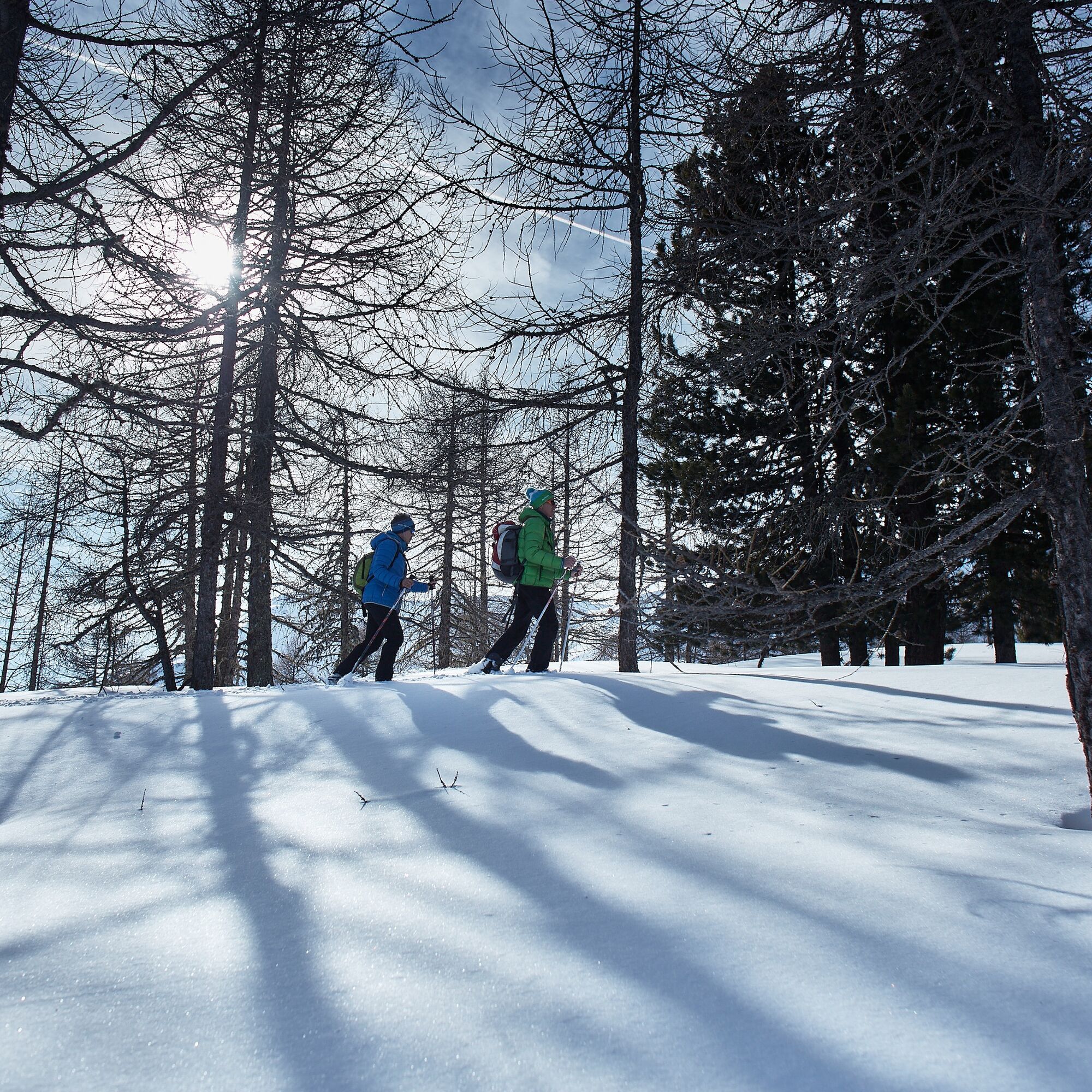
The start and finish point of the circular hike is located in Bodmen (Bürchen), directly at the bus stop "Ronalp". From there you head to the hamlet "Zentriegu" and then to the dreamlike and magical winter landscape around the Hellela. The trail leads over groomed paths, open meadows, and through snow-covered forests. Along the way, you will repeatedly see the imposing Bietschhorn and other peaks of the Valais and Bernese Alps. Enjoy the tranquility of nature and take a break from the stressful everyday life.

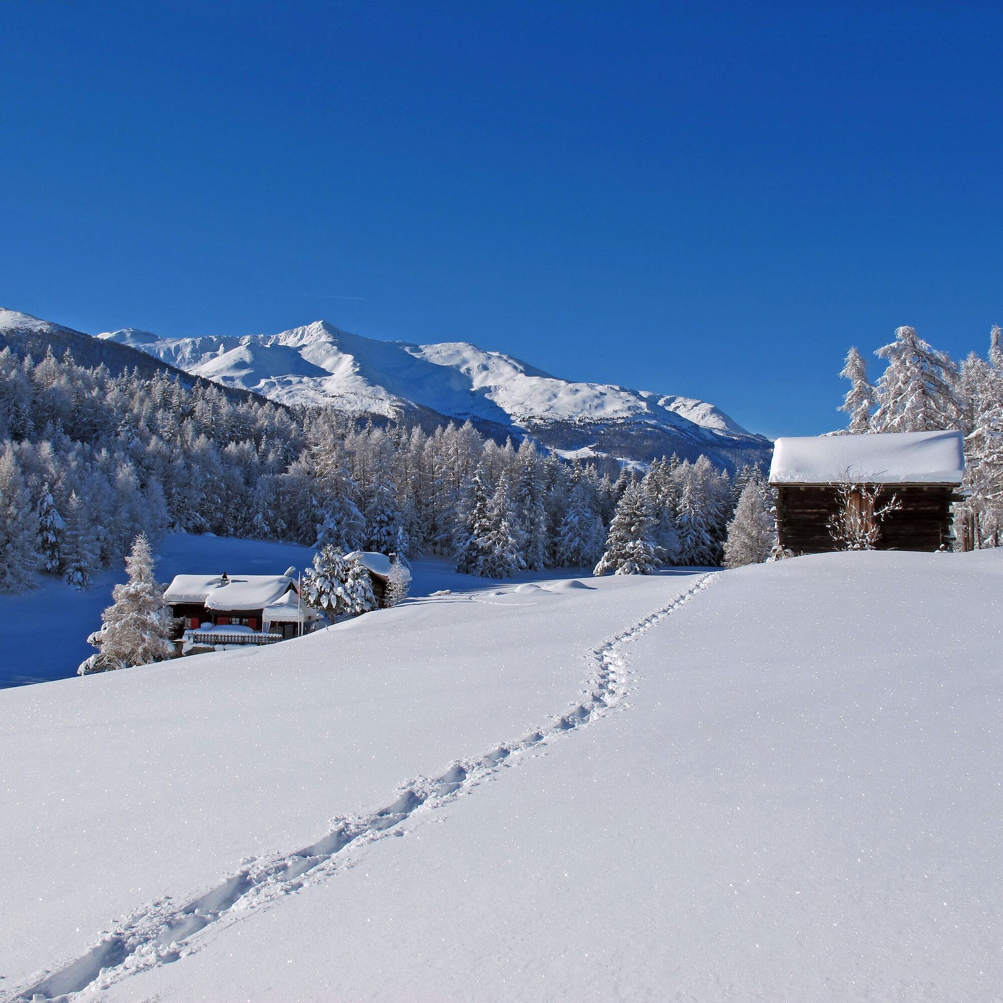
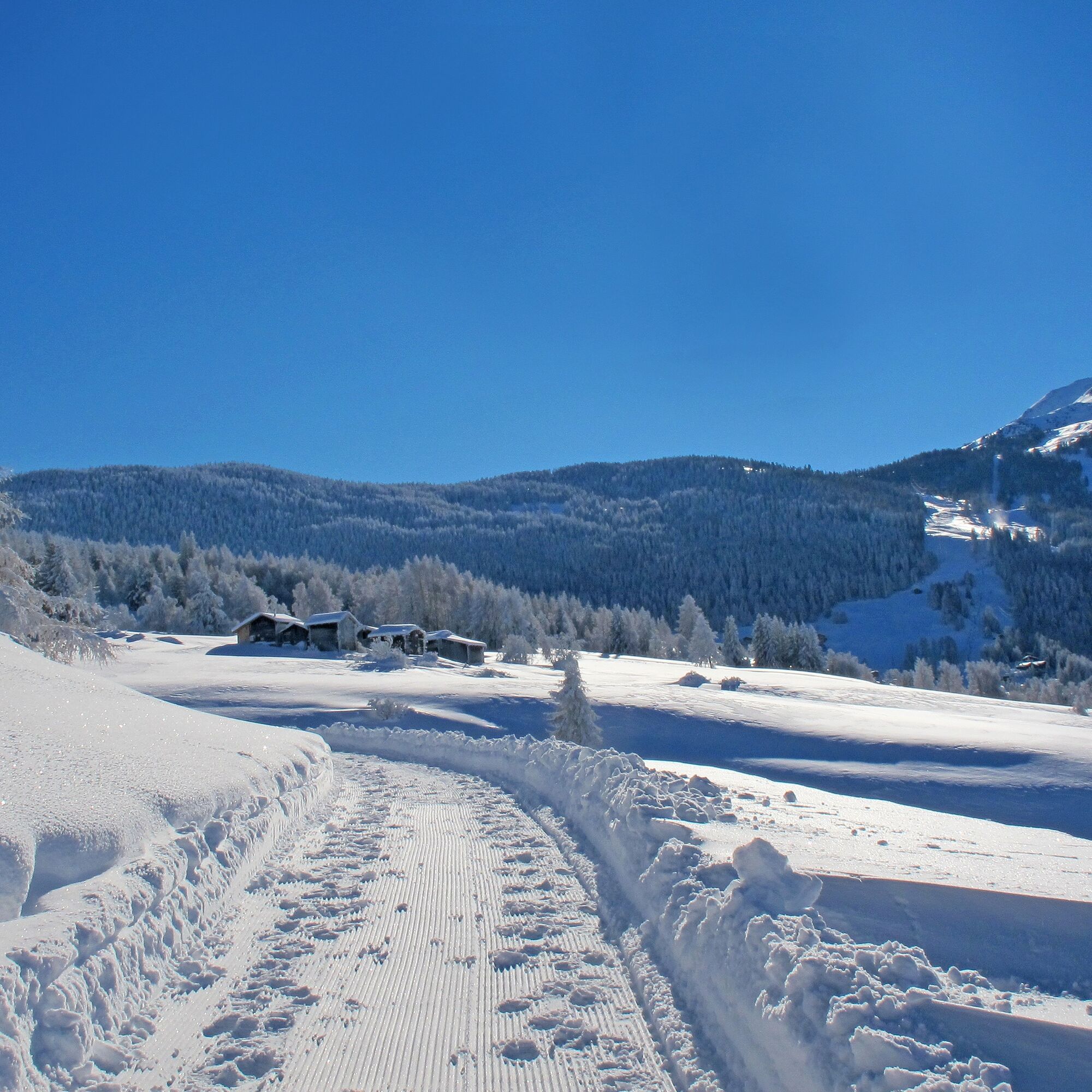

Bodmen - Zentriegu - Waldachra - Lower Hellela - Eggwald - Middle Hellela - Squirrel Path - Zentriegu - Bodmen
You can rent snowshoes at the following places: Zenhäusern Sport, Restaurant Panorama, Bergrestaurant Dorbia, Restaurant Moosalp
Motorists from the north travel via Bern through the Lötschberg (car shuttle), from the east and south via the Furka or over the Simplon. From the west, you can reach the Moosalp region via Lausanne, along the Rhone valley to Turtmann or Visp, and from there directly to Bürchen.
You can travel to us by train through the NEAT base tunnel via the station in Visp. From there, you can reach Bürchen by direct post bus line. The start and finish point is located right at the bus stop "Ronalp".
A large parking lot (paid) is available at the start and finish point.
The start and finish point is the Hotel-Restaurant Ronalp, where you can indulge yourself with culinary delights.
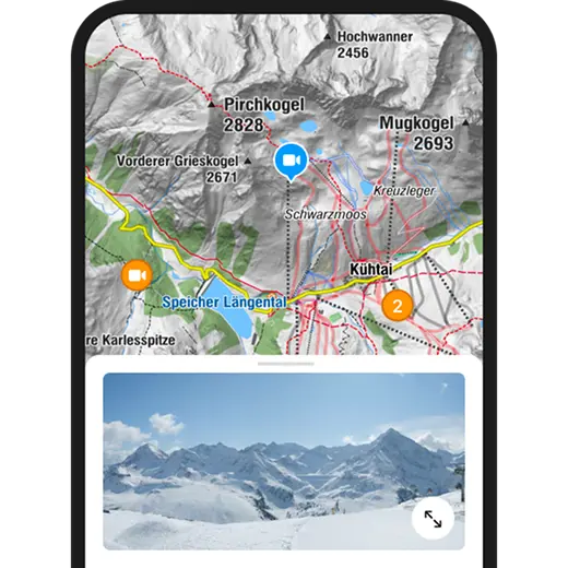
Kamery internetowe z trasy
Popularne wycieczki w okolicy
-
4,9
Moosalp Panoramaweg
światłoWędrówka 6,36 km -
3,8
Höhenweg Saas-Fee - Grächen
Wędrówka 12,0 km -
4,6
Gspon high-altitude route
średniWędrówka 13,9 km -
CIRCULAR HIKE MASSEGGA SUSPENSION BRIDGE
światłoWędrówka 6,44 km -
5,0
Panoramaweg Visperterminen
światłoWędrówka 9,72 km -
SUONEN CIRCULAR HIKE GREDETSCHTAL
średniWędrówka 7,45 km -
4,0
FOGGENHORN ROUND HIKE
średniWędrówka 13,1 km -
5,0
CIRCULAR HIKE BLATTEN - GIBIDUM RESERVOIR - RISCHINER FOREST
światłoWędrówka 4,81 km -
4,0
NATICHERBERG CIRCULAR TRAIL
średniWędrówka 12,1 km -
Moosalp – Augstbordhorn
ciężkiWędrówka 5,97 km
Wędrówki i tropienie


Nie przegap ofert i inspiracji na następne wakacje
Twój adres e-mail została dodana do listy mailingowej.


