







Col de l'Aprily – Mythical Alpine passes
Poziom trudności: 3
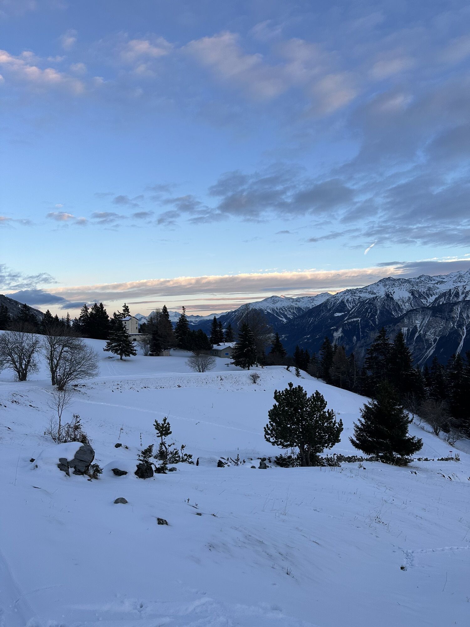
From Siders – the sunniest town in Switzerland – the road climbs through the typical vineyards of the Rhone valley. You pass through the small villages of Veyras and Venthône before gradually entering...
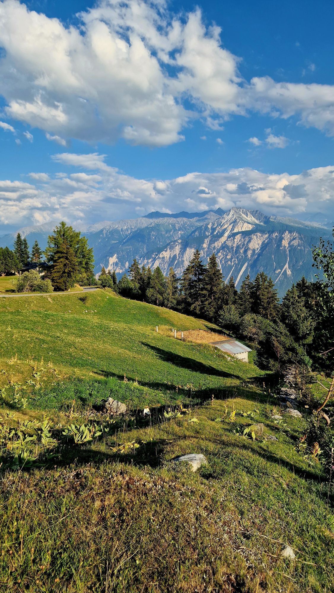
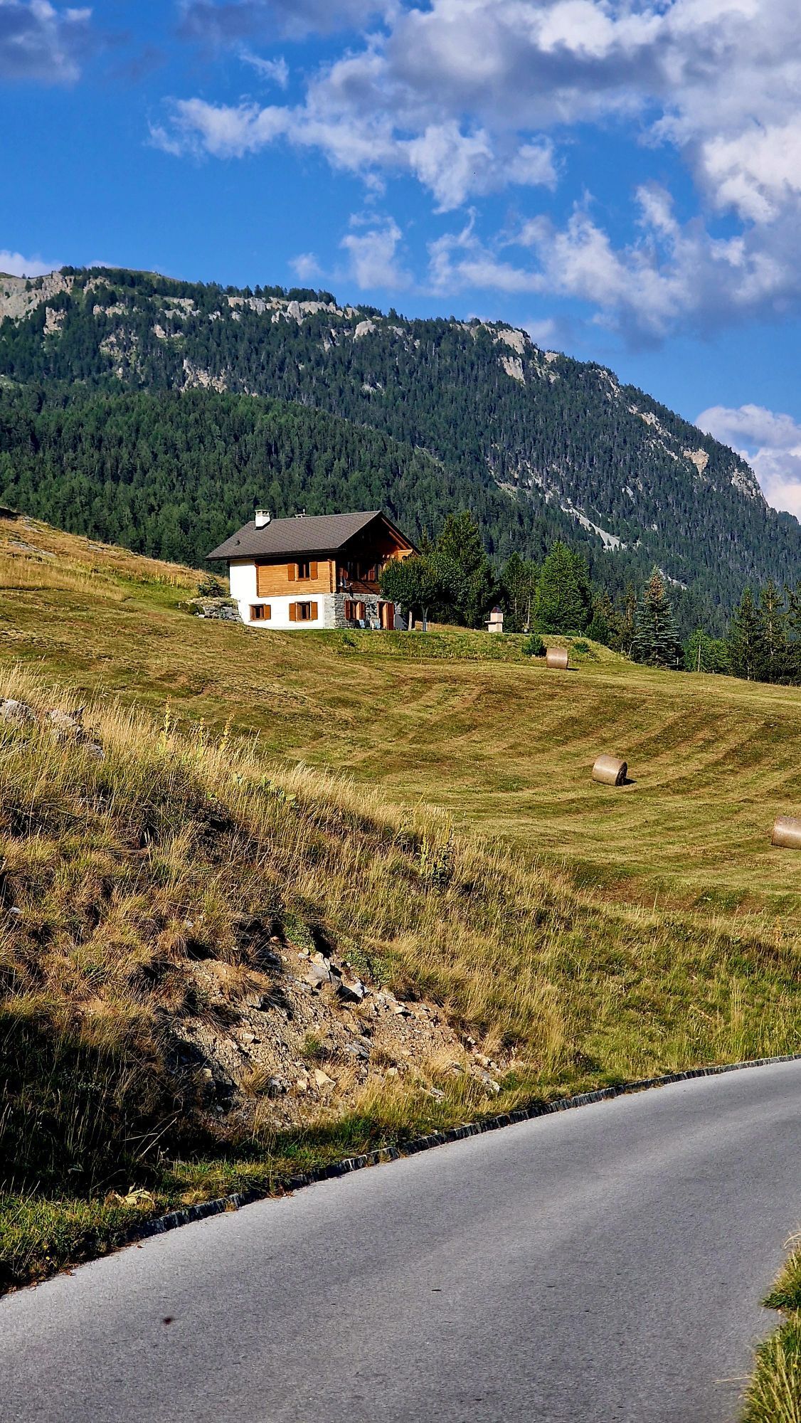
From Siders – the sunniest town in Switzerland – the road climbs through the typical vineyards of the Rhone valley. You pass through the small villages of Veyras and Venthône before gradually entering a more mountainous environment. The very regular gradient leaves little time to catch your breath, so the few shady sections on the sunny mountainside offer a welcome refreshment in summer. After Aminona, the route branches off to the right and the road narrows. The last straight section leading to the so-called Mayen de Colombire on the Col de l'Aprily offers a fantastic view of the Weisshorn.

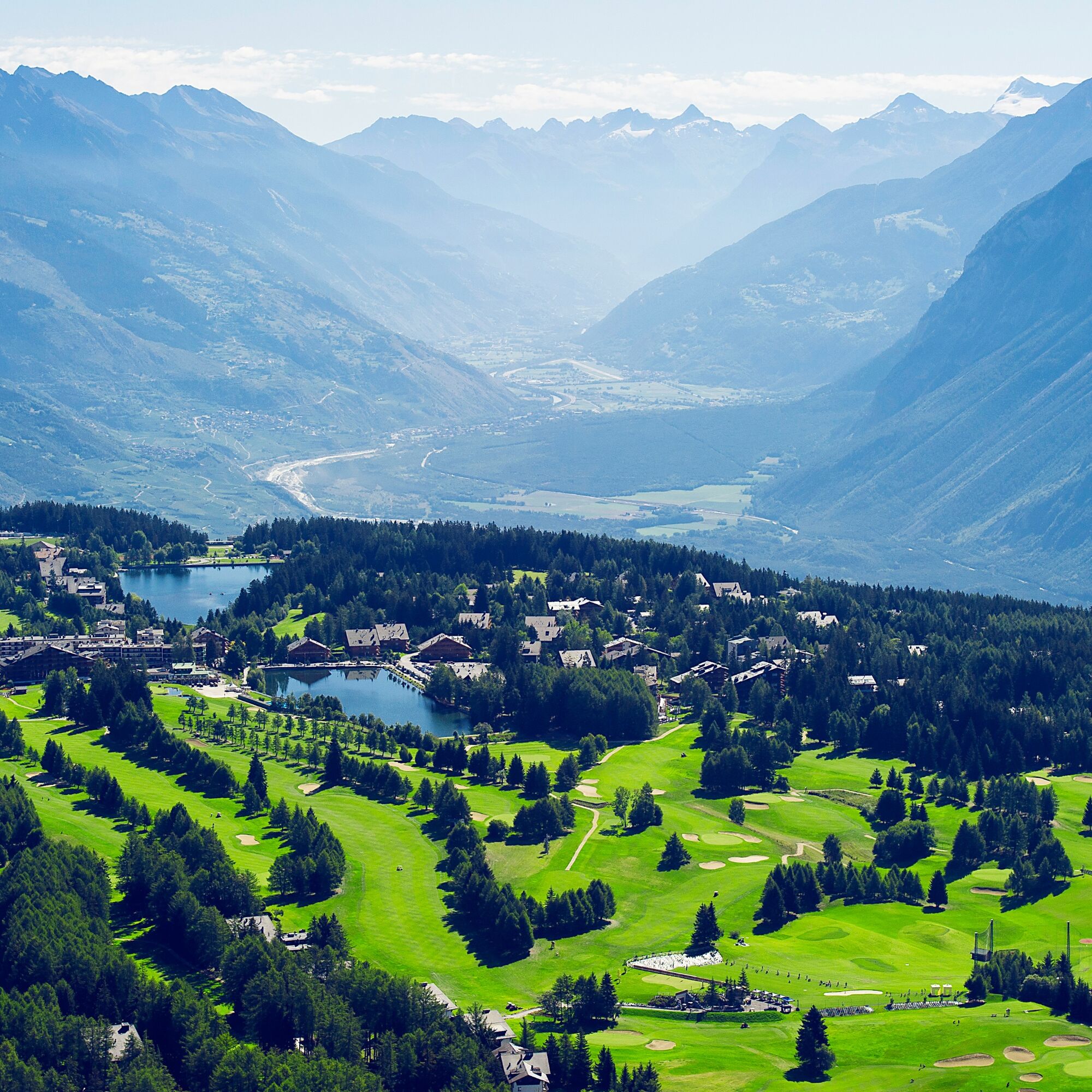

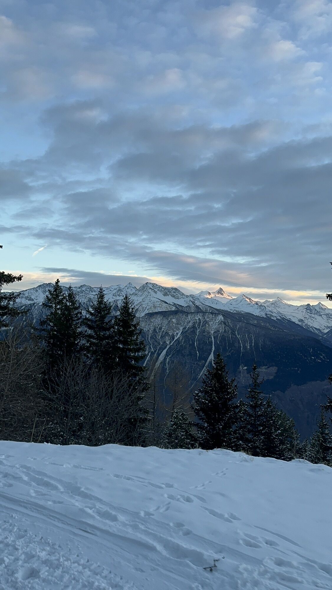
The first kilometers of this 17-kilometer ascent between Siders and the Col de l'Aprily lead right through the vineyards and typical small villages of the region. After Venthône, you ride through small deciduous forests, which gradually give way to firs and larches as the ascent progresses. The panorama you can admire from Aminona is perhaps one of the most spectacular in Valais. Five four-thousanders rise on the other side of the Rhone valley and form the majestic crown of Valais: the Weisshorn, the Zinalrothorn, the Obergabelhorn, the Matterhorn, and the Dent Blanche. This unique view accompanies you up to the pass height, where the Mayen de Colombire restaurant awaits you for a well-deserved break!
Our recommendation: technically flawless bike, helmet, gloves and bell; clothing appropriate to the weather (always bring rain protection), drink and provisions.
Respect the rules of Swiss road traffic. Riding this route is at your own risk; all liability is excluded. Respect the flora and fauna in your surroundings. For your safety, we recommend wearing a bike helmet. Emergency numbers: 144 ambulance / 117 police / 1414 Rega. Assess your own skills and fitness well. Riding on the different routes is always at your own responsibility.
Via motorway A9 from Lausanne or Brig, exit Sierre East (coming from Brig) or Sierre West (coming from Lausanne). Via Rue de la Plaine you reach the Park + Ride at the station.
You can reach Sierre regularly with SBB from all Swiss cities as well as with regional trains on the Simplon line between Brig and St. Gingolph.
Park + Ride at Sierre/Siders station. Follow the local parking guidance system in Sierre/Siders.
3
Visit the museum in the hamlet of Colombire, close to the endpoint of the route in Aminona.
Uzyskaj wgląd
Zawsze na żywo z ponad 9 500 kamer internetowych. bergfex Jako użytkownik Pro, możesz teraz zobaczyć odpowiednie kamery internetowe dla wielu wycieczek w aplikacji wycieczki od. Pozwala to na bezpośredni podgląd aktualnych warunków.
Popularne wycieczki w okolicy
-
5,0
Bisse du Ro
światłoWędrówka 11,2 km -
4,2
Grand Bisse de Lens
światłoWędrówka 8,73 km -
4,7
Leukerbad - Gemmipass - Lämmerenhütte
średniWędrówka 9,49 km -
5,0
Bella-Tola
średniWycieczka wysokogórska 6,72 km -
4,0
Gemmipass - Lämmerenhütte - Rote Totz Lücke - Daubensee - Gemmipass
średniWędrówka 13,7 km -
5,0
Torrenthorn- Rigi der Walliser Alpen
Wędrówka 2,99 km -
5,0
Klettersteig Daubenhorn
ciężkiVia ferrata 5,34 km -
Gratweg
Via ferrata 5,16 km -
5,0
Grand bisse d’Ayent
średniWędrówka 11,7 km -
4,3
Adelboden, Engstligen Alp and Engsligen Grat
średniWędrówka 15,1 km

Wędrówki i tropienie


Nie przegap ofert i inspiracji na następne wakacje
Twój adres e-mail została dodana do listy mailingowej.





