







Binntal - Scenic & side valleys

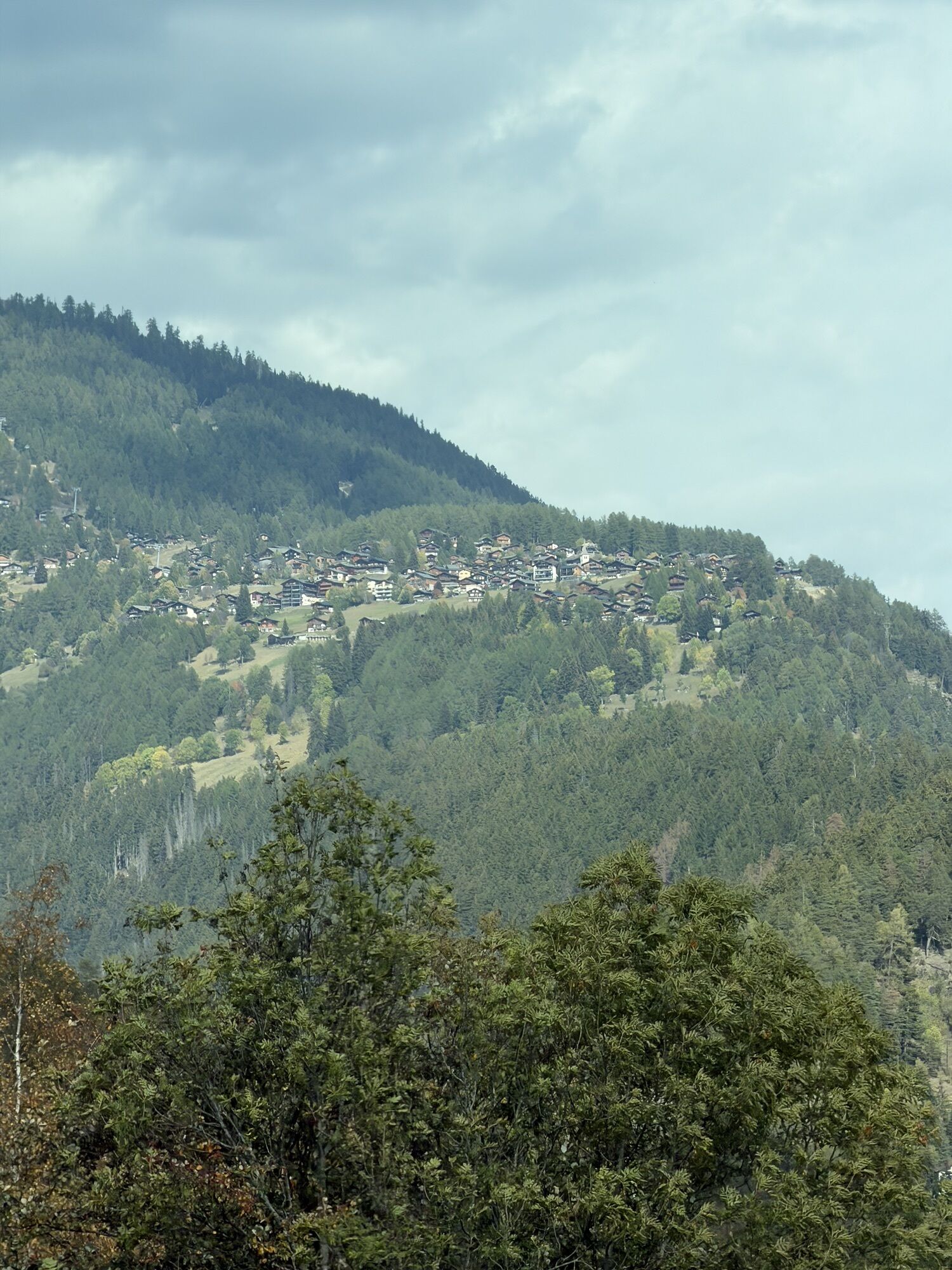
Once you’ve crossed the Rhone, which at this point is no more than a small, wild river, you’re faced with a steep but short climb! The wonderful village of Ernen has a mix of wooden houses turned dark...
Once you’ve crossed the Rhone, which at this point is no more than a small, wild river, you’re faced with a steep but short climb! The wonderful village of Ernen has a mix of wooden houses turned dark brown by the sun and immaculately white façades. No doubt expecting to go on climbing, you’ll be surprised to find yourself on an almost flat stretch of road that winds its way among spruce and larch. In autumn, these same larch show themselves in their most enchanting golden colours for your delectation. You then bypass the avalanche gallery that is accessible to motor traffic by taking a quiet route over a dirt track. A few kilometres further on you’ll see the valley open out before you as you arrive in Binn. The tiny village of Fäld has two hospitable inns waiting to give you a warm welcome.

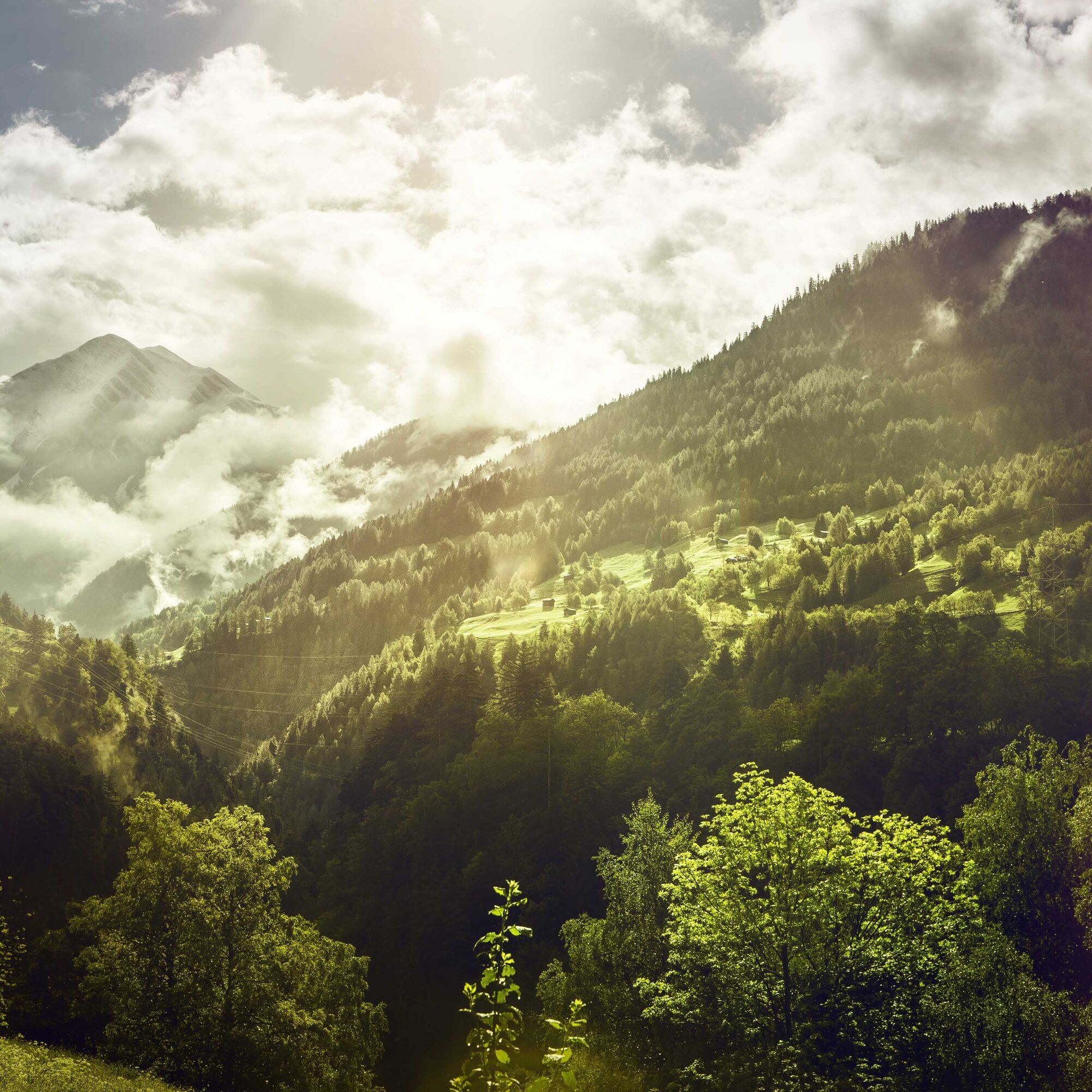


From the railway station in Lax, take the cantonal road. A short downhill stretch takes you across the Rhône, which at this point is still a wild river, before tackling the climb to the pretty village of Ernen. Take the turning on the right to continue on a relatively flat route that winds its way across the mountainside until it reaches a long avalanche gallery. Cyclists can avoid the latter by following a gravel track of excellent quality that runs along the mountainside. Surprising works of art accompany riders along this 2km stretch. When you reach the exit to the gallery rejoin the cantonal road, which will lead you to the valley’s main settlement: Binn. Bypass the village and continue your exploration of the valley until you reach the village of Fäld. The Binntal valley has plenty of excellent establishments at which to stop for a bite to eat and drink.
Tak
Tak
We recommend: bike in excellent working order, helmet, gloves and bell, clothing suitable for the weather (always carry a waterproof), food and drink.
Strictly respect the Swiss traffic rules. Please note that you are running the tour at your own risk and all liability is refused. Please be considerate to plants and animals. For your own safety, wear an helmet every time you ride a bike. Emergency numbers: 144 Ambulance / 117 Police / 1414 Helicopter Rescue (Rega).
When planning, take into account participants’ fitness level and ability. All riding is at one’s own risk.
From Brig, follow the cantonal route 19 "Furkastrasse" for 16km until you arrive in Lax.
Frequent SBB train connections from all over Switzerland to Brig, then MGB (Matterhorn Gotthard Bahn) train or bus to Oberwald.
Parking at the train station in Lax, follow the local car park routeing.

Kamery internetowe z trasy

Popularne wycieczki w okolicy
-
5,0
BELALP - SPARRHORN
ciężkiWędrówka 11,2 km -
4,9
SUSPENSION BRIDGE RIEDERALP - BELALP
średniWędrówka 11,5 km -
4,5
Panoramaweg über den Aletschgletscher
średniWędrówka 17,7 km -
UNESCO Höhenweg
Wędrówka 3,70 km -
CIRCULAR HIKE MASSEGGA SUSPENSION BRIDGE
światłoWędrówka 6,44 km -
4,0
Eggishorn via ferrata
średniVia ferrata 1,39 km -
5,0
Aletsch Sightseeing
średniWędrówka zimą 15,5 km -
4,0
Höhenwanderung Rosswald
światłoWędrówka 6 km -
5,0
VIA FERRATA "ALETSCH"
średniVia ferrata 3,40 km -
4,5
Hike to the Glacier View in Bellwald
średniWędrówka 8,86 km
Wędrówki i tropienie


Nie przegap ofert i inspiracji na następne wakacje
Twój adres e-mail została dodana do listy mailingowej.





