


Moosalp Plateau Bike
Poziom trudności: S1
Zdjęcia naszych użytkowników
Places to eat:Restaurant Moosalp, Restaurant Dorbia on the Moosalp, Restaurant Panorama Bürchneralp, Hotel-Restaurant Bürchnerhof Bürchen, Hotel-Restaurant Ronalp Bürchen, Pizzeria Mamma Mia Bürchen,...
Places to eat:Restaurant Moosalp, Restaurant Dorbia on the Moosalp, Restaurant Panorama Bürchneralp, Hotel-Restaurant Bürchnerhof Bürchen, Hotel-Restaurant Ronalp Bürchen, Pizzeria Mamma Mia Bürchen, Restaurant Alpenrösli Bürchen

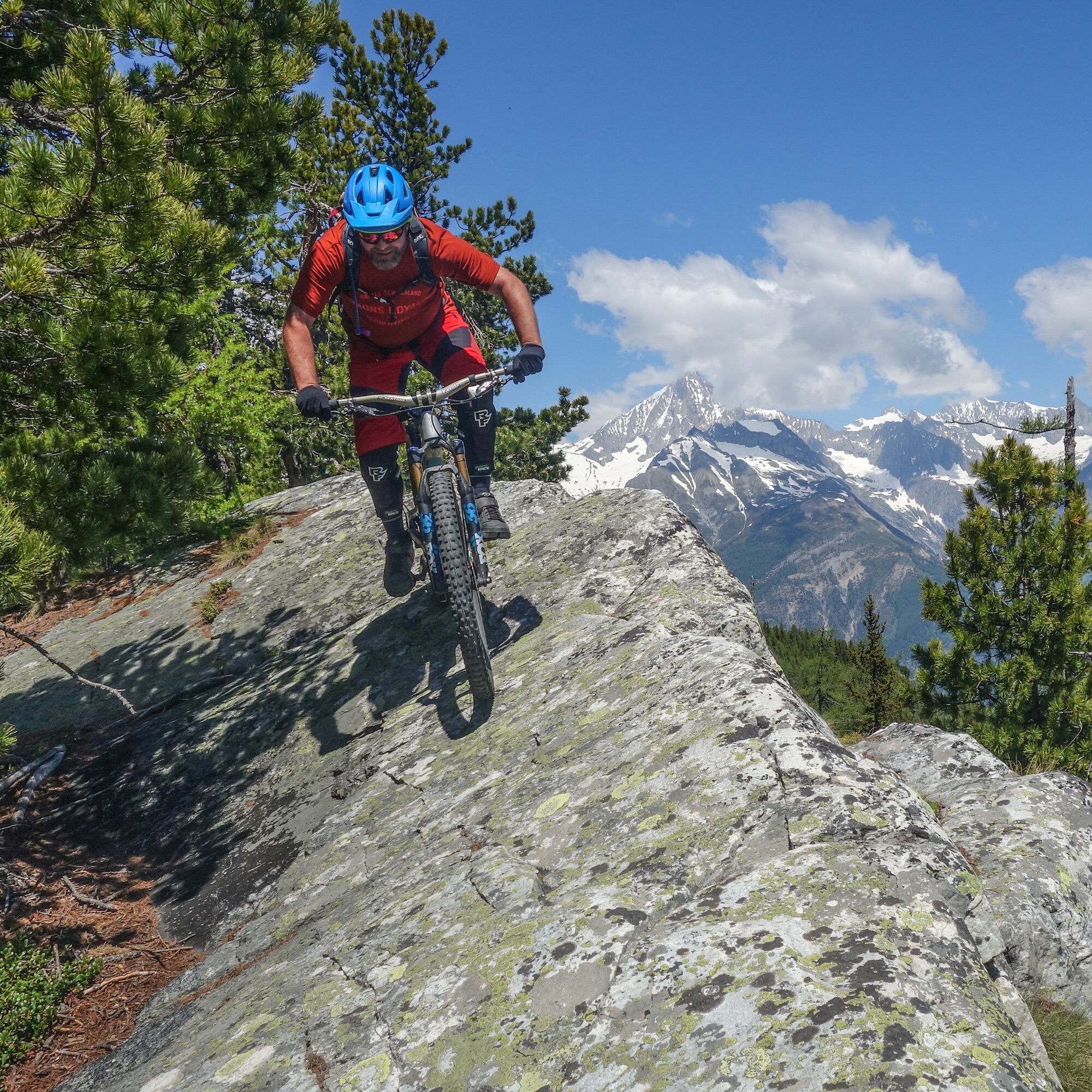
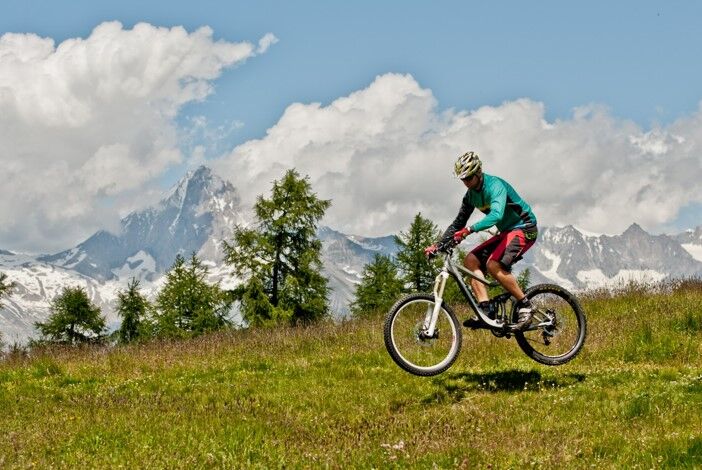
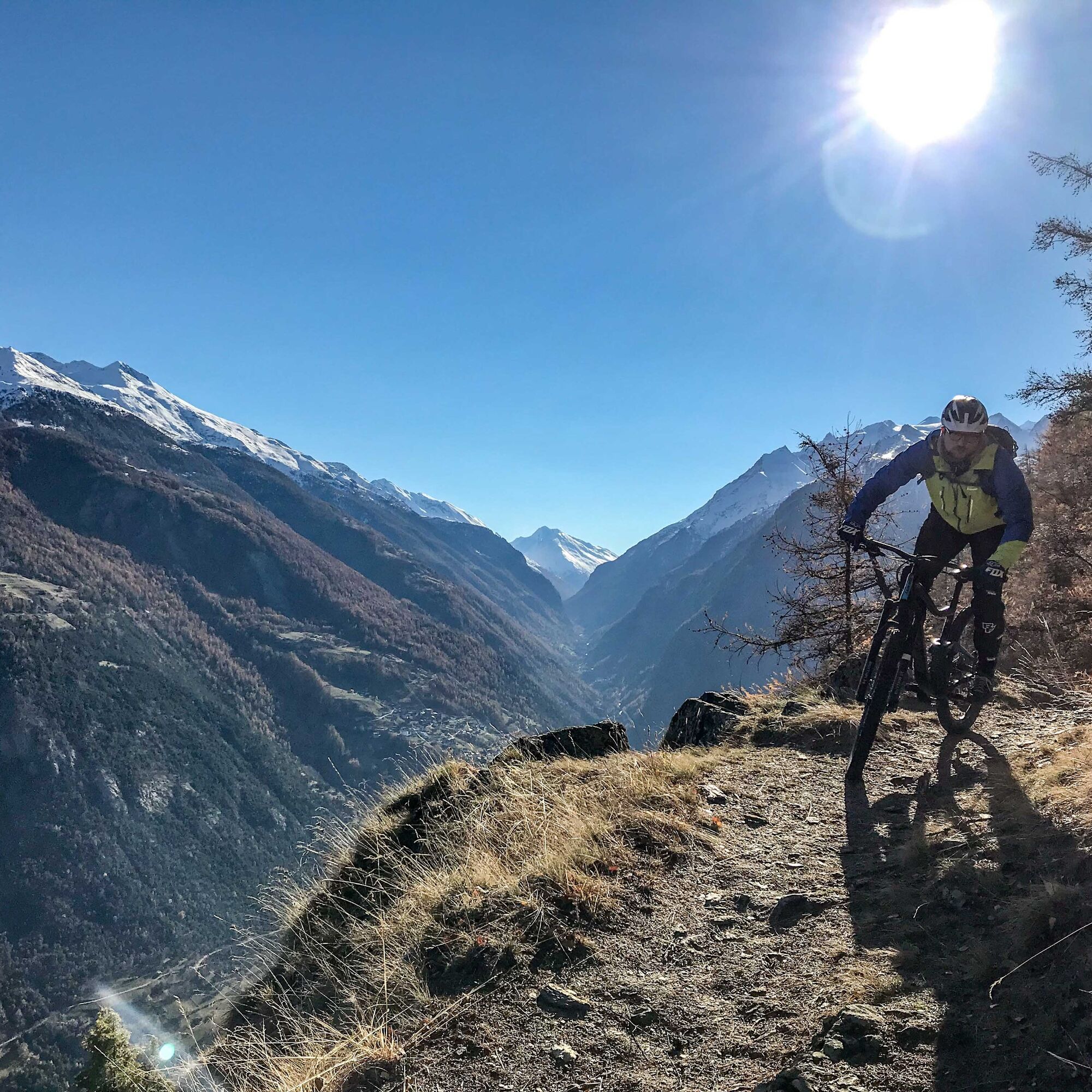
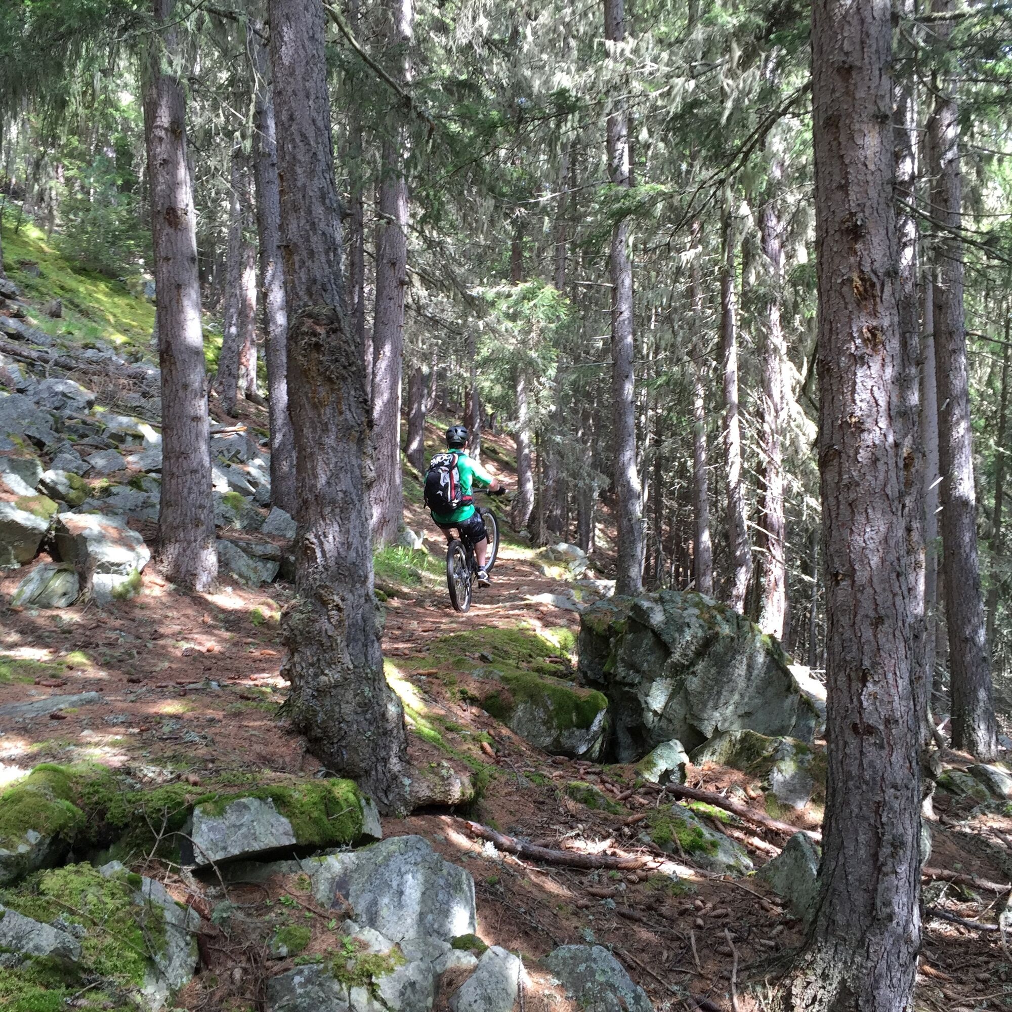
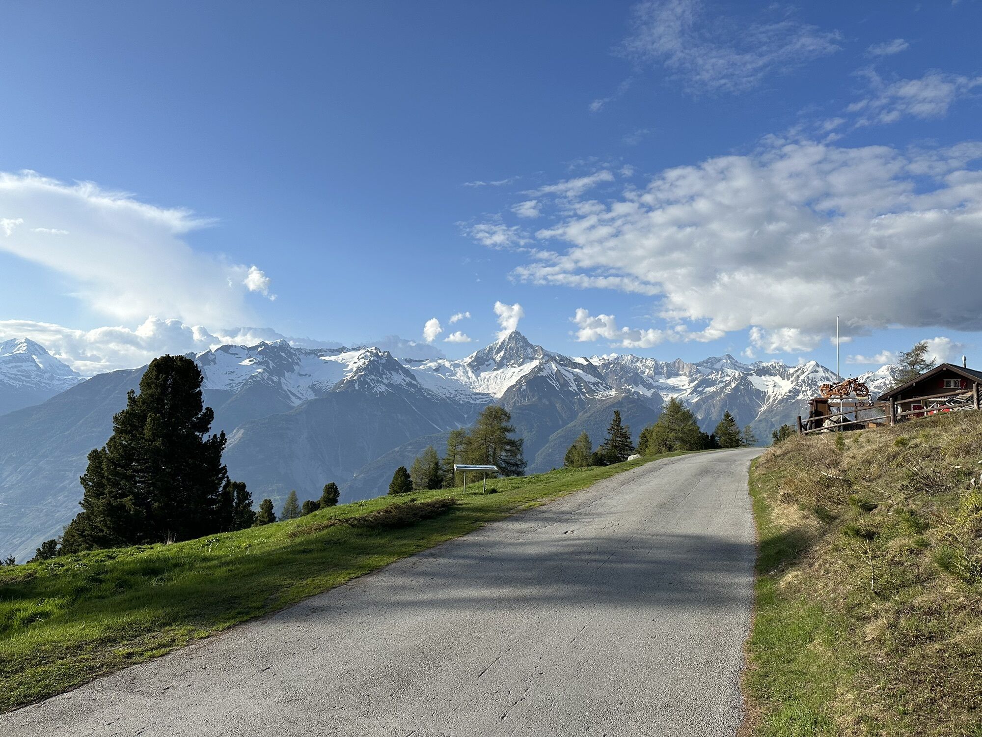
The tour begins by taking the PostAuto from Visp to Bürchen. Passing numerous chalets with a short trail section to the holiday resort Unterbäch and via “Schlüechtgartu” to Eischoll. The path leads through the old village center to the top station of the chairlift “Striggen.” With a magnificent view of the “Undri and Obri Senggalp,” it continues to Ginals. Then follows a beautiful trail to “Gibidum,” always with the Bietschhorn in sight. Next starts the descent known in the mountain biking scene as the “Magic Trail,” a first-class natural flow trail winding down to Brandalp. From Brandalp, the tour continues on a gravel road to the sunny spot Bürchen. Those still with enough strength in their legs tackle the approximately 500 meters of ascent to Moosalp on an idyllic mountain road. Otherwise, you can also take the PostAuto to Moosalp. Directly at Moosalp, with views of the Saas and Matter Valleys and their numerous 4000-meter peaks, the trail fun begins. Very flowy, easy, and straightforward, the singletrail leads through a beautiful larch forest to Törbel. Here, a visit to the open-air museum “Urchigs Terbil” is worthwhile. Numerous buildings, such as the original “Walliser-Stadol,” show the various aspects of former everyday life in a Valais mountain village. From Törbel, the trail continues to Zeneggen, described as the sunny mountain village at the entrance of the Visp valley. The route then climbs via the nature reserve “Mittlere Hellela” to Bürchen. The mountain village lies sun-drenched on a high plateau above the Rhone valley. If you want, you can complete the circular route either via Zeneggen or from Bürchen back to the starting point Visp, with great trails guaranteed down into the valley.
Tak
Tak
Tak
By bus from Visp to Bürchen. Regular train and bus connections at https://www.sbb.ch/and https://www.postauto.ch/de/fahrplan
There are two parking lots in Bürchen. In front of restaurant Ronalp and at the valley station of the chairlift.
S1
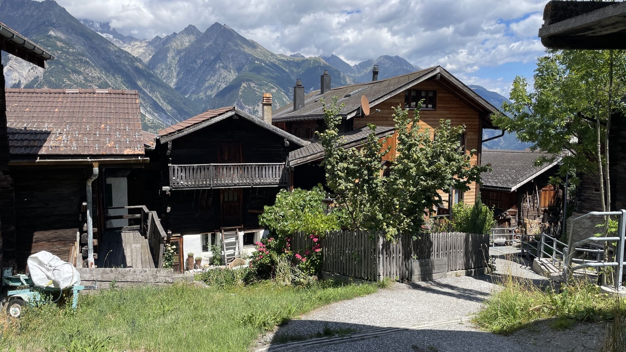
The village of Törbel with its open-air museum "Urchigs Terbil"
Kamery internetowe z trasy
Seetal - Grächen
Brandalp - Skilift Seefeld
Moosalp - Restaurant Moosalp - Törbel
Bergstation Sesselbahn Giw - Visperterminen
Hannigalp
Grächen - Dorf
Eischoll - Stryggen
Moosalp - Bergrestaurant Dorbia
Air Zermatt - Station Raron
Air Zermatt - Station Raron
Brandalp - Skilift Seefeld
Brandalp - Skilift Seefeld
Brandalp - Skilift Seefeld
Brandalp - Skilift Seefeld
Rothorli
Grächen
Air Zermatt - Station Raron
Gspon
Giw Bergstation
Eischoll Dorf
Furggen Berg
LGJ Bergstation
Brandalp - Skilift Seefeld
Brandalp - Skilift Seefeld
Brandalp - Skilift Seefeld
Brandalp - Skilift Seefeld
Törbel - Chalet Dolores
Yakfarm - Embd
Heidabahn Talstation
Popularne wycieczki w okolicy
- 3,8
Höhenweg Saas-Fee - Grächen
Wędrówka 12,0 km - 5,0
Moosalp Panoramaweg
światłoWędrówka 6,36 km - 5,0
Bella-Tola
średniWycieczka wysokogórska 6,72 km - 4,0
NATICHERBERG CIRCULAR TRAIL
średniWędrówka 12,1 km Kinderwanderweg MoosAlbi uns seine Waldtiere
światłoWędrówka 3,50 kmPanoramaweg Visperterminen
światłoWędrówka 9,72 km- 5,0
Jolischlucht
średniWędrówka 8,06 km Rundwanderung Gattunalp
średniWędrówka 9,18 kmMoosalp – Augstbordhorn
ciężkiWędrówka 5,97 km- 5,0
Wasserlehrpfad
średniWędrówka 7,20 km
Wędrówki i tropienie


Nie przegap ofert i inspiracji na następne wakacje
Twój adres e-mail została dodana do listy mailingowej.