







Kreuzboden Bike
Poziom trudności: S2
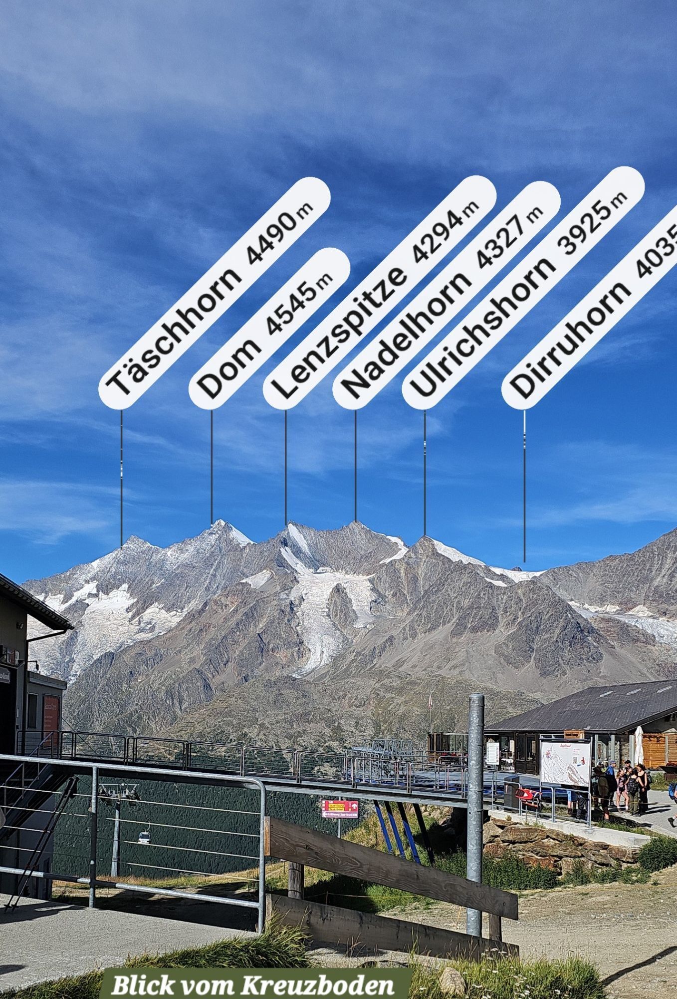
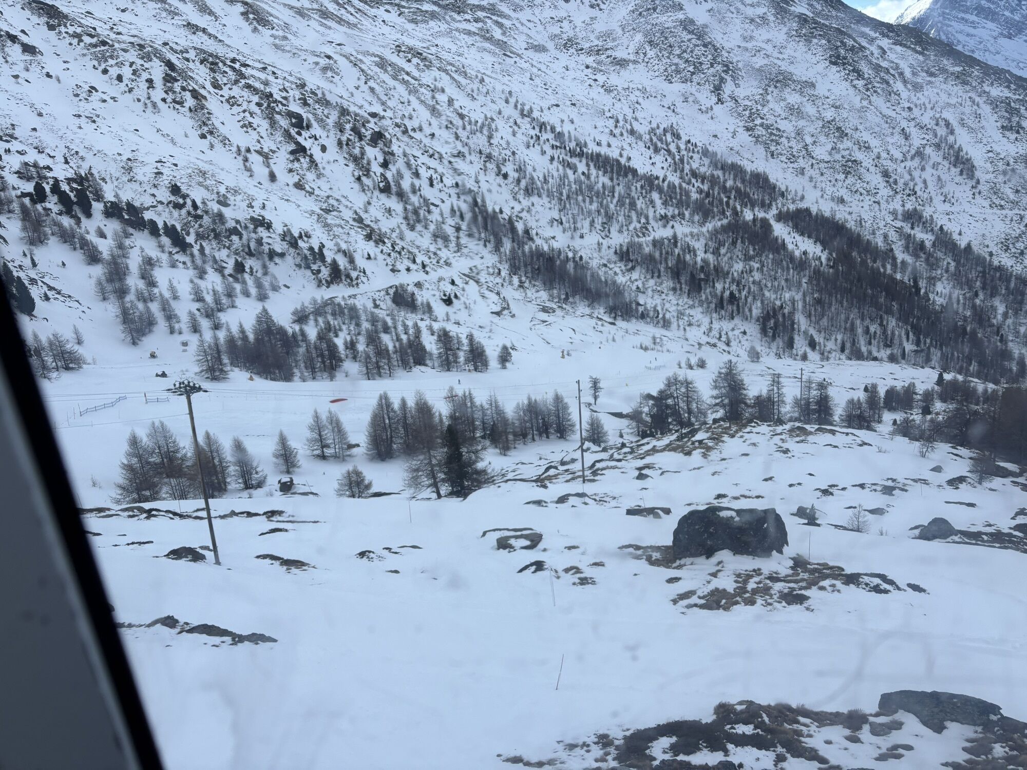
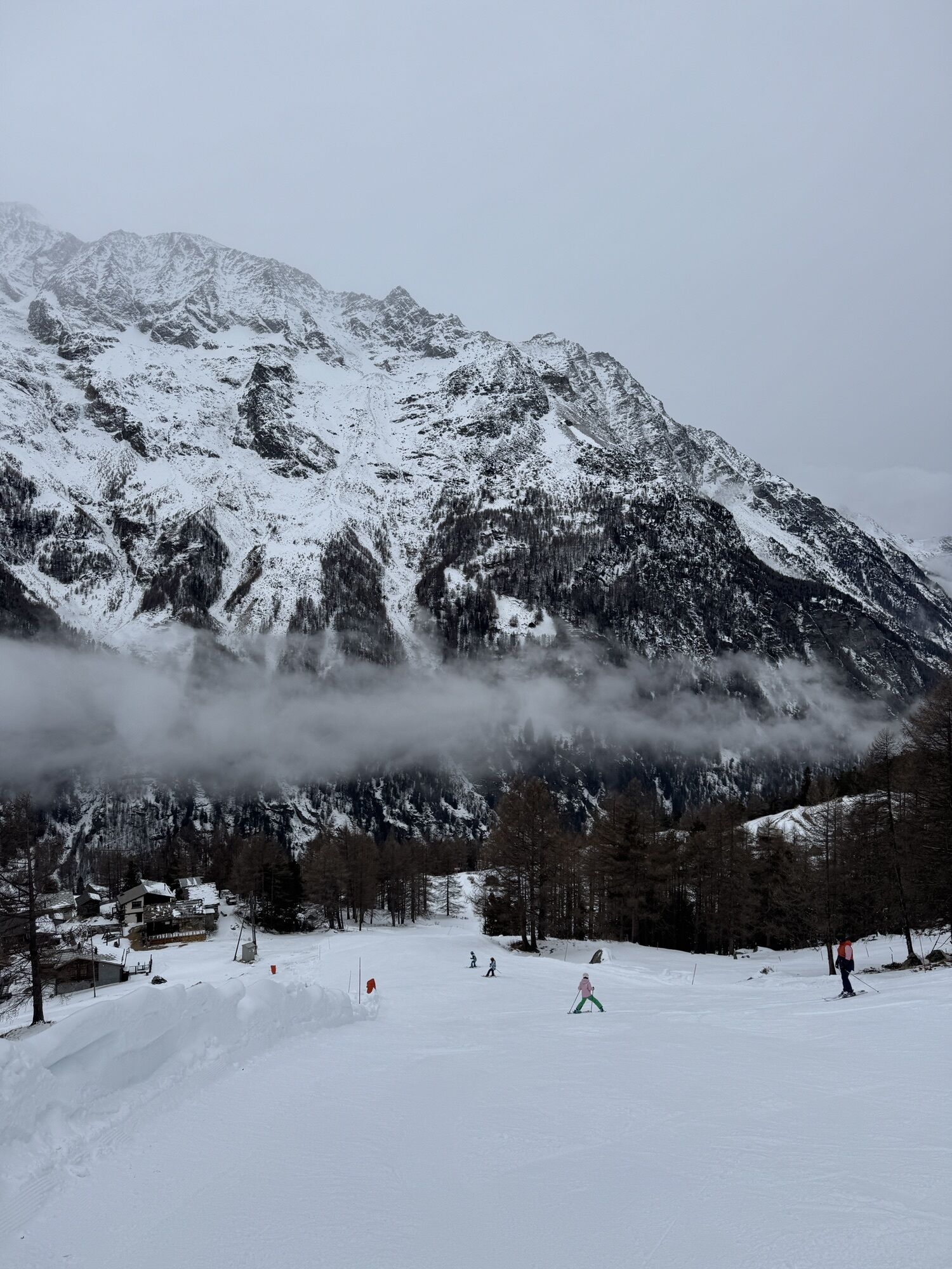
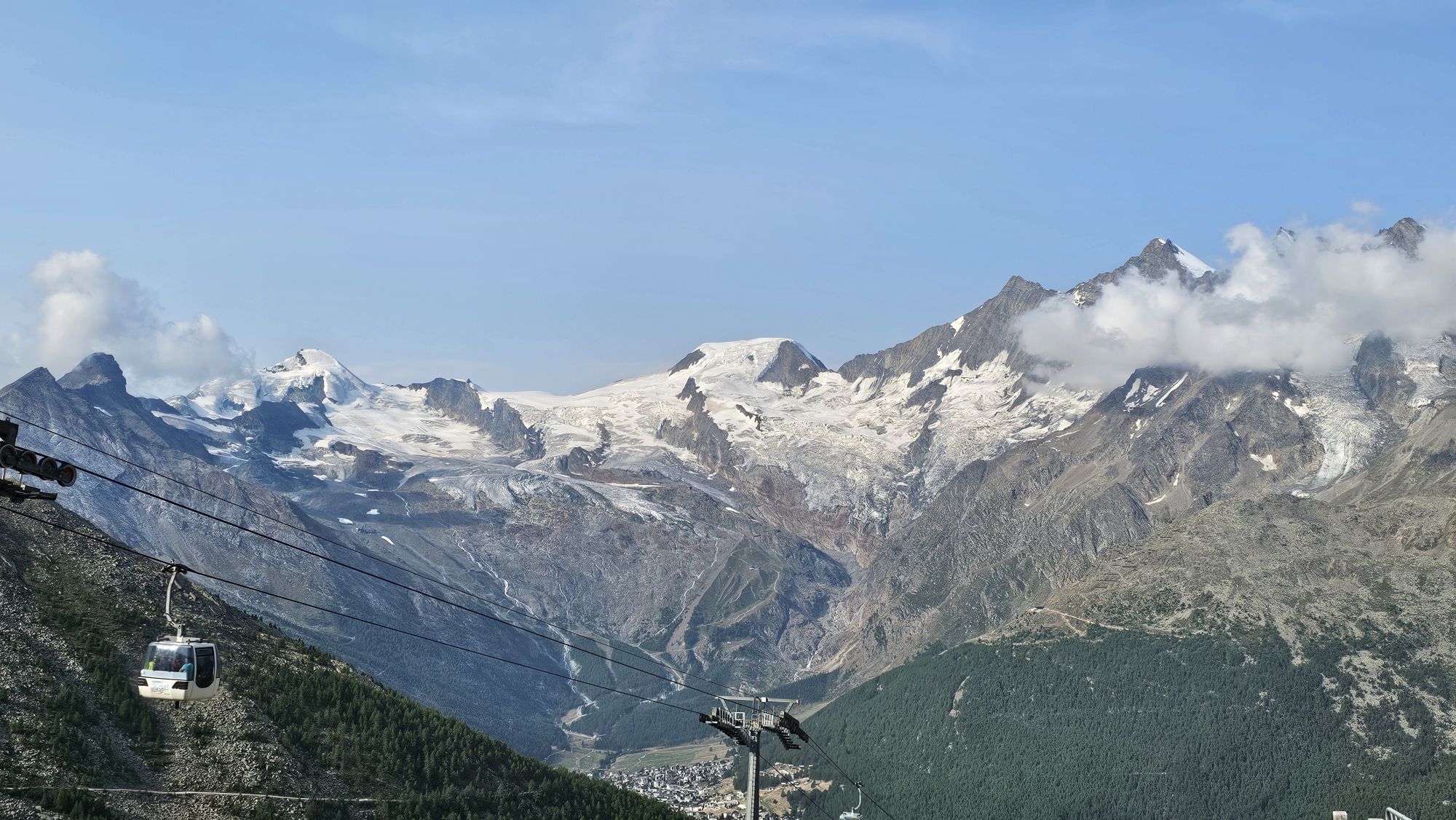
This route offers everything a biker’s heart desires: eleven kilometers of ascent through the larch forest, past the alpine pastures of Saas-Grund up to the tree line at Kreuzboden at 2400 meters above...
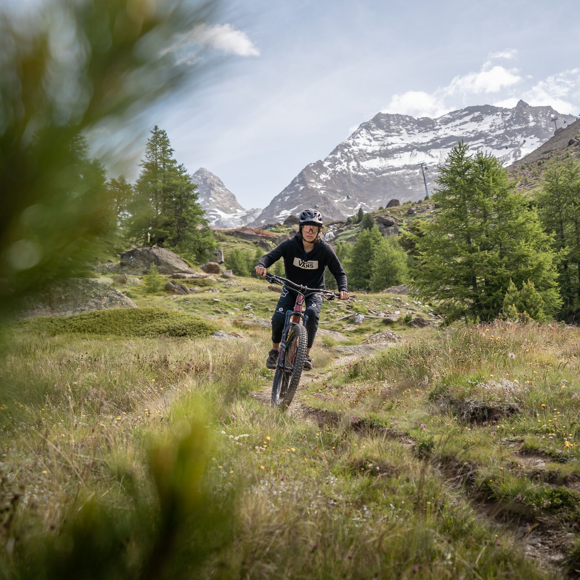
This route offers everything a biker’s heart desires: eleven kilometers of ascent through the larch forest, past the alpine pastures of Saas-Grund up to the tree line at Kreuzboden at 2400 meters above sea level, followed by a fast descent via the Trift Flowtrail and as a crowning finale a single trail through the Furwald forest.
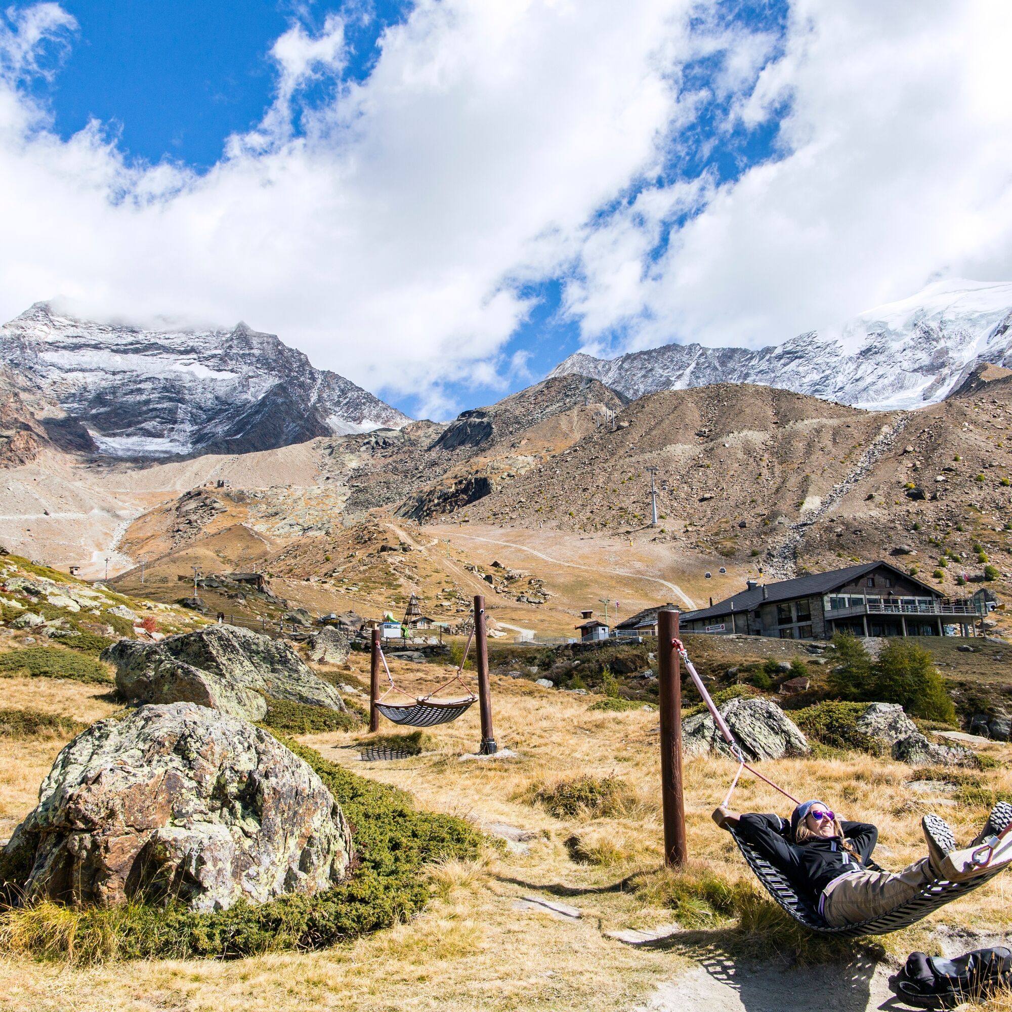
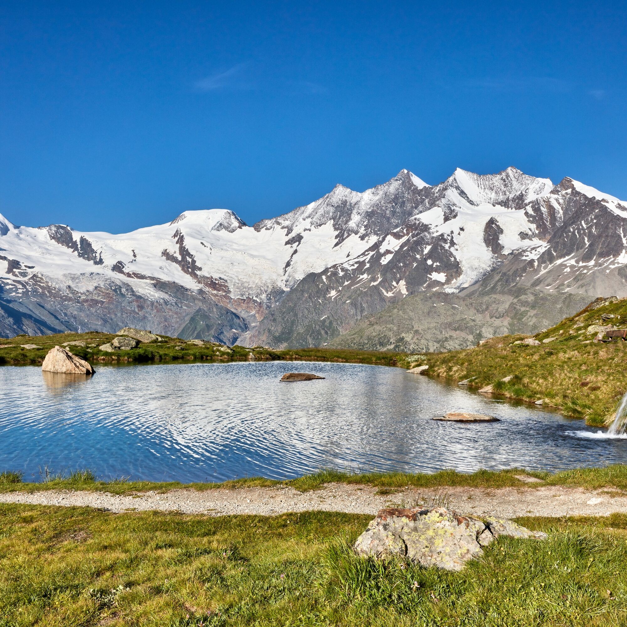
All of this is framed by an alpine landscape with views of the highest mountains in Switzerland. Along the route there are numerous spots ideal for a photo stop. After the ascent to Kreuzboden, deck chairs and hammocks near the Kreuzboden lake await sports enthusiasts. Those who want to prepare for the descent to Saas-Grund can take a few test rounds in the Bike Skills Park.
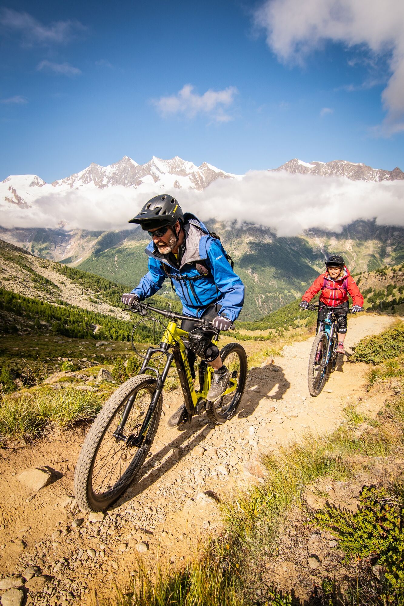
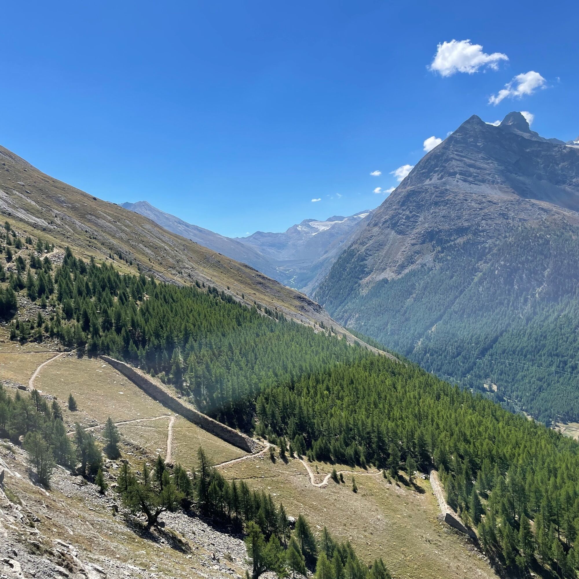
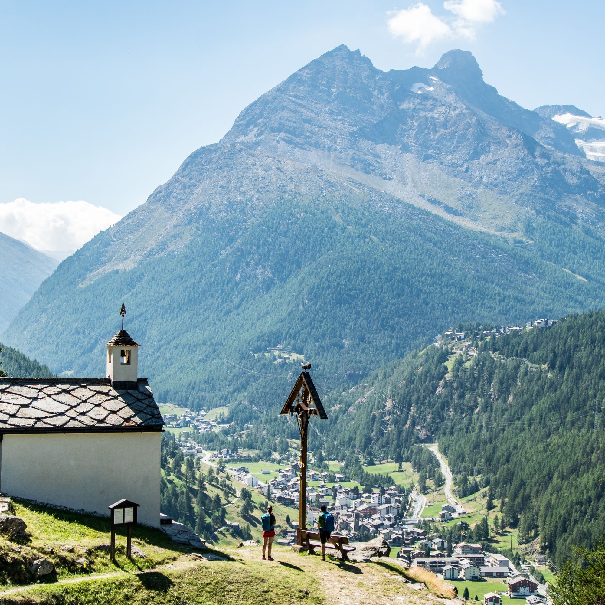
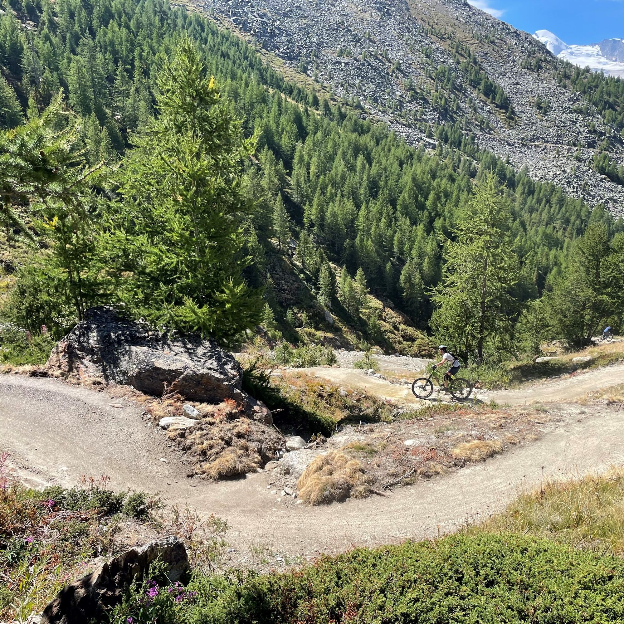
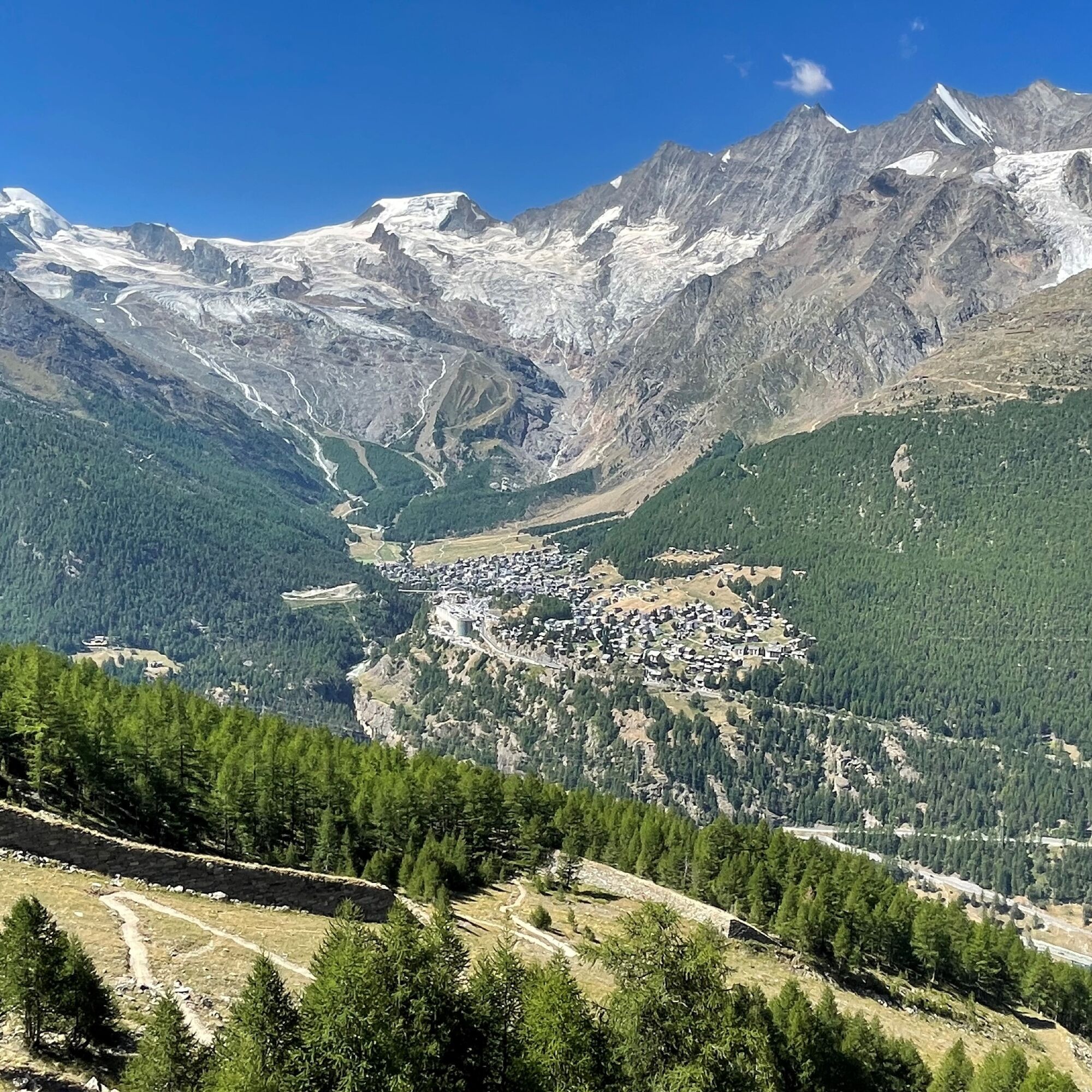

The trail starts at the valley station of the Bergbahnen Hohsaas and follows the Flurstrasse uphill, passing the last houses of Saas-Grund and the bridge before continuing through the forest and several alpine pastures. After the Triftalp comes the junction "Zingelstapfu", where the path turns north and continues uphill to the Kreuzboden station.
Behind the mountain restaurant Kreuzboden begins the descent. The first curves lead over the alpine meadows, then you cross the bridge to the edge of the ski slope. The route turns right and runs over alpine meadows and through small forests to the Triftalp, before you follow the field path uphill to the "Zingelstapfu". At the hairpin turn, the path branches off to the right and continues downhill, changing direction to the north at the next junction. After about 15 curves it reaches a wide field path. Shortly before the end of the forest turn left and after some switchbacks at the next fork near the irrigation canal continue left. The route finally turns right onto a narrow path and winds to the next junction where it meets the Flurstrasse. From here, the path leads downhill back to the starting point in Saas-Grund.
Technically flawless bike
Helmet
Gloves
Bell
Outdoor clothing: always carry a waterproof jacket
Fluids and snacks
First aid kit
Navigation tool
The Saastal is easily and conveniently accessible by car from all directions, whether from Switzerland or abroad. From the north you reach us via Bern through the Lötschberg car shuttle. From the east, you come via the Furka Pass or the Furka car shuttle. From the south we are accessible via Simplon Pass or the Simplon car shuttle, and from the west you drive over Lausanne along the Rhone Valley to Visp and from there towards Saas-Fee.
From Visp you drive south towards Saas-Fee. At the "Killerhof" roundabout near Stalden, take the second exit towards Saas-Fee and follow the main road to Saas-Grund.
Parking is available at the valley station of the Bergbahnen Hohsaas.
S2
Bergbahnen Hohsaas AG
Seilbahnstrasse 18
3910 Saas-Grund
Tel.: +41 27 958 15 80
E-mail: info@hohsaas.ch
www.hohsaas.ch
The Kreuzboden with lake and Bike Skills Park invites you to linger.
Uzyskaj wgląd Zawsze na żywo z ponad 9 500 kamer internetowych. bergfex Jako użytkownik Pro, możesz teraz zobaczyć odpowiednie kamery internetowe dla wielu wycieczek w aplikacji wycieczki od. Pozwala to na bezpośredni podgląd aktualnych warunków. 
Popularne wycieczki w okolicy
- 4,9
Allalinhorn vom Mittelallalin über Normalweg
średniWycieczka wysokogórska 6,15 km - 3,6
Höhenweg Kreuzboden - Almagelleralp - Saas-Almagell
Wędrówka 9,74 km - 3,3
Europaweg Grächen - Europahütte - Zermatt
ciężkiWędrówka 39,9 km - 3,5
Waldweg Saas-Fee - Saas-Almagell
Wędrówka 2,83 km - 4,7
Weissmies Südgrat von Saas Almagell
średniWycieczka wysokogórska 20,5 km - 4,8
Marmot mountain path Spielboden
średniWędrówka 3,89 km - 5,0
Via ferrata Jägihorn
ciężkiVia ferrata 6,14 km - 3,8
Höhenweg Saas-Fee - Grächen
Wędrówka 12,0 km - 4,5
Ibex path
średniWędrówka 9,02 km - 5,0
Mountain trail Kreuzboden - Hohsaas
średniWędrówka 4,65 km
Wędrówki i tropienie


Nie przegap ofert i inspiracji na następne wakacje
Twój adres e-mail została dodana do listy mailingowej.





