Dane wycieczki
2,4km
1.388
- 1.696m
309hm
290hm
02:30h
- Stopień trudności
- D
- Krótki opis
-
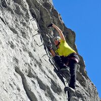
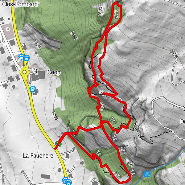
The via ferrata of Evolène consists of three tracks, and offers a great point of view on the Dent Blanche glacier and the Pigne d'Arolla.
- Stopień trudności
-
ciężkieStopień trudności D
- Ocena
-
- Trasa
-
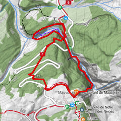
La Fauchère (1.386 m)
- Najlepszy sezon
-
stylutmarkwimajczelipsiewrzpaźlisgru
- Najwyższy punkt
- 1.696 m
- Miejsce docelowe
-
Parking at the end of the village of Evolène when driving in direction of Les Haudères.
- Exposition
- Profil wysokości
-
© outdooractive.com
- Autor
-
Wycieczka Via ferrata of Evolène jest używany przez outdooractive.com pod warunkiem.
GPS Downloads
Informacje ogólne
Obiecujący
Więcej wycieczek w regionach
-
Unterwallis
20
-
Evolène
12
-
Arolla
3


