


Stuben to Ulmer Hütte
Poziom trudności: T2
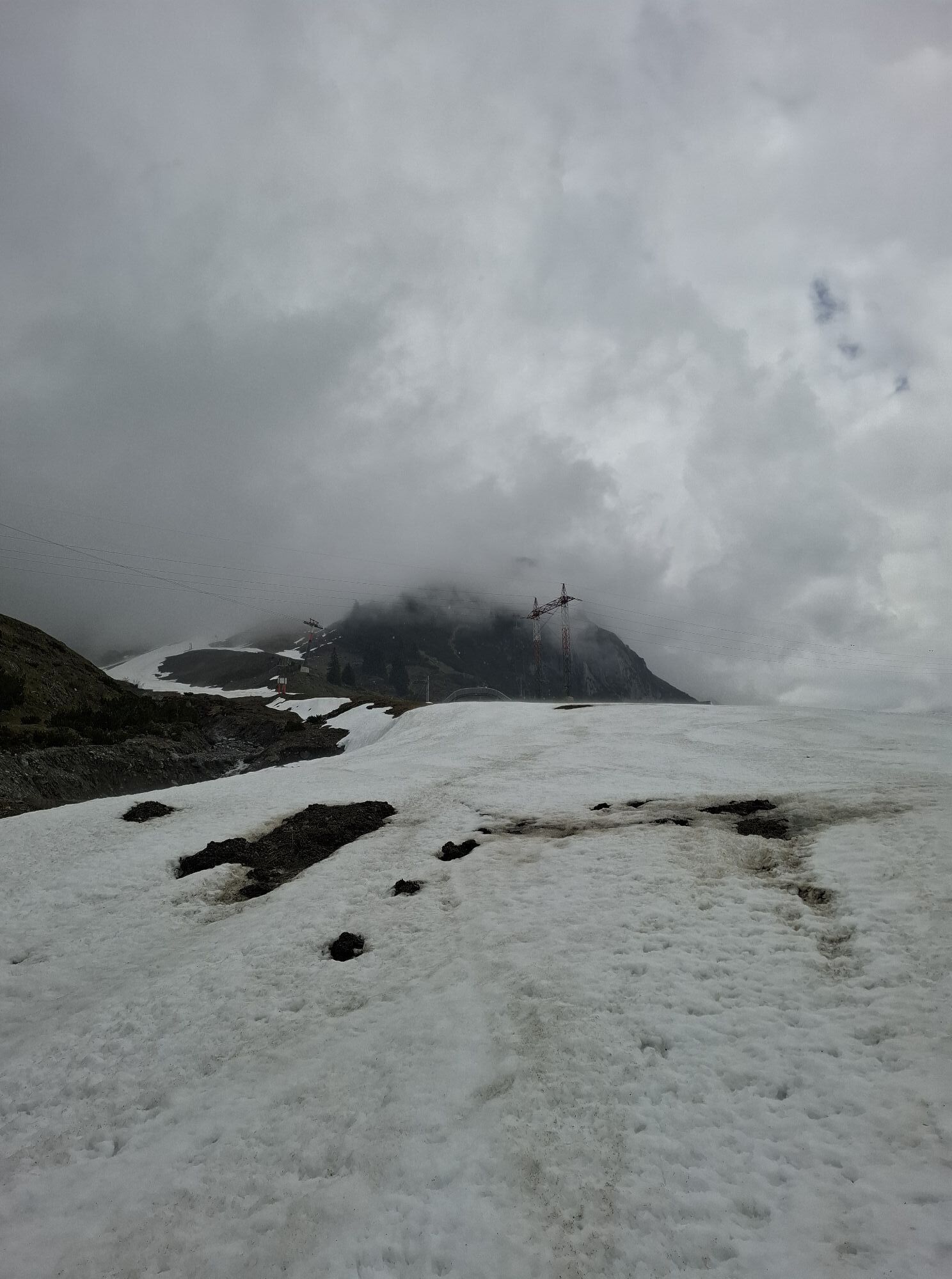
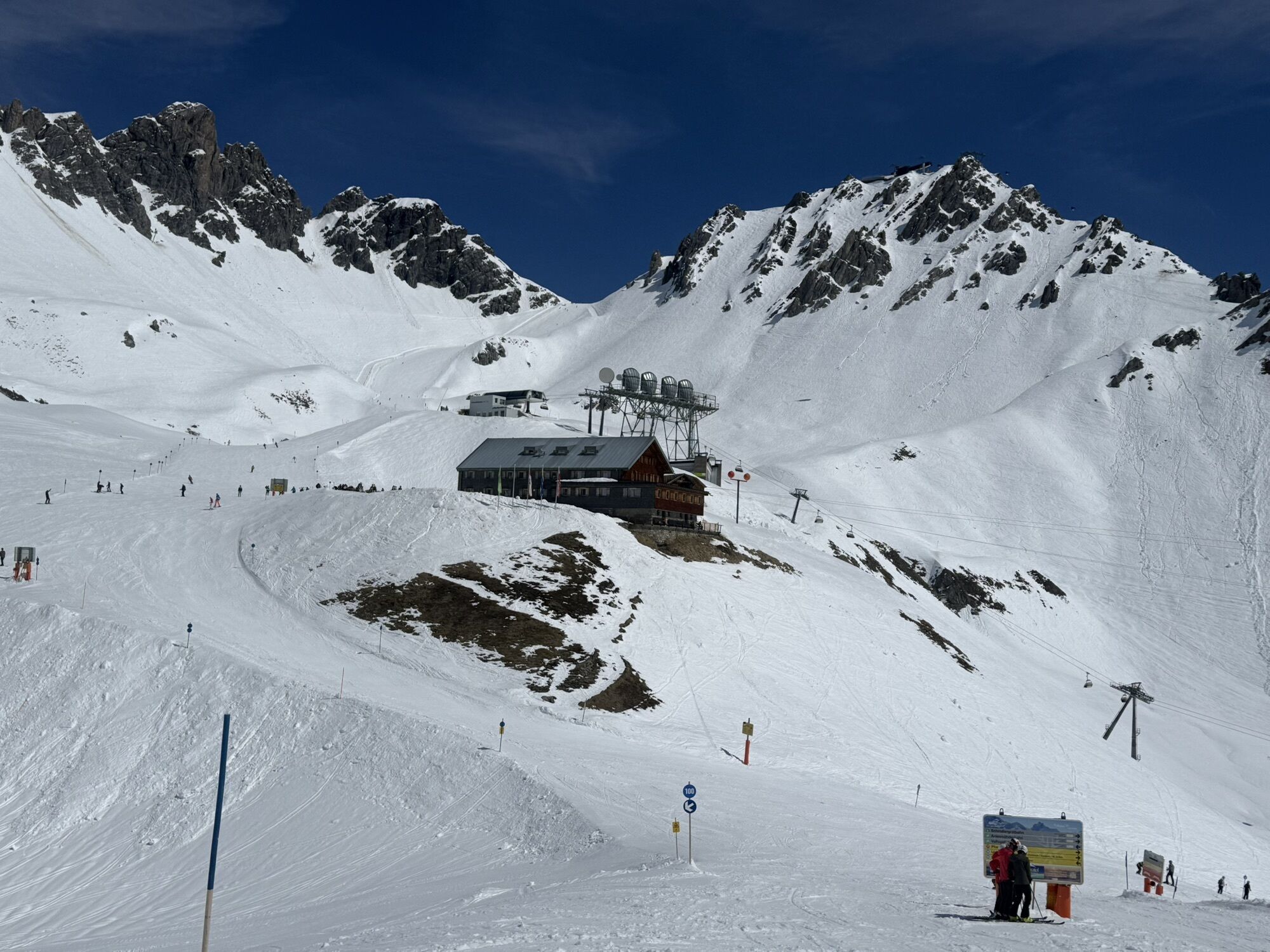
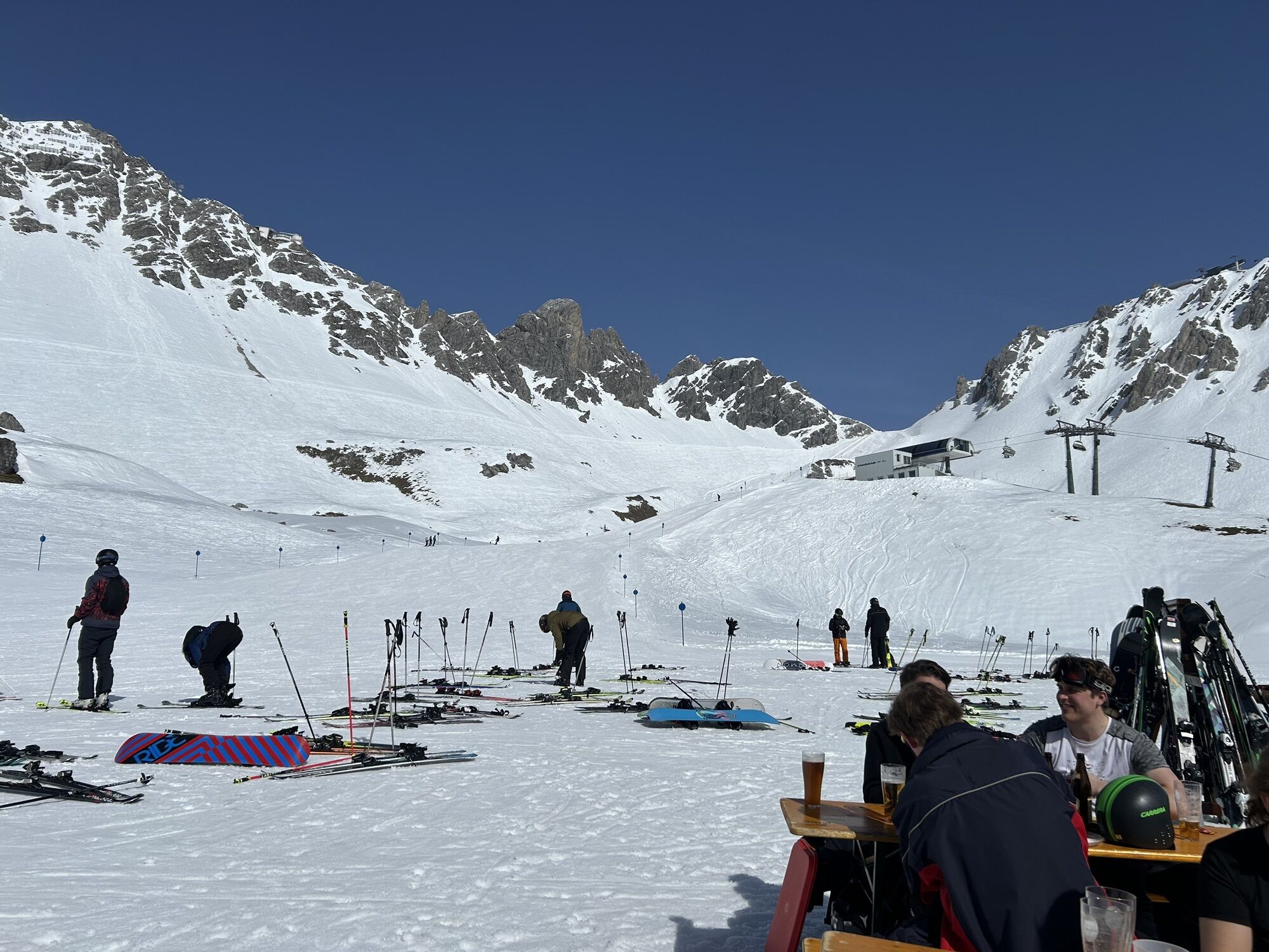
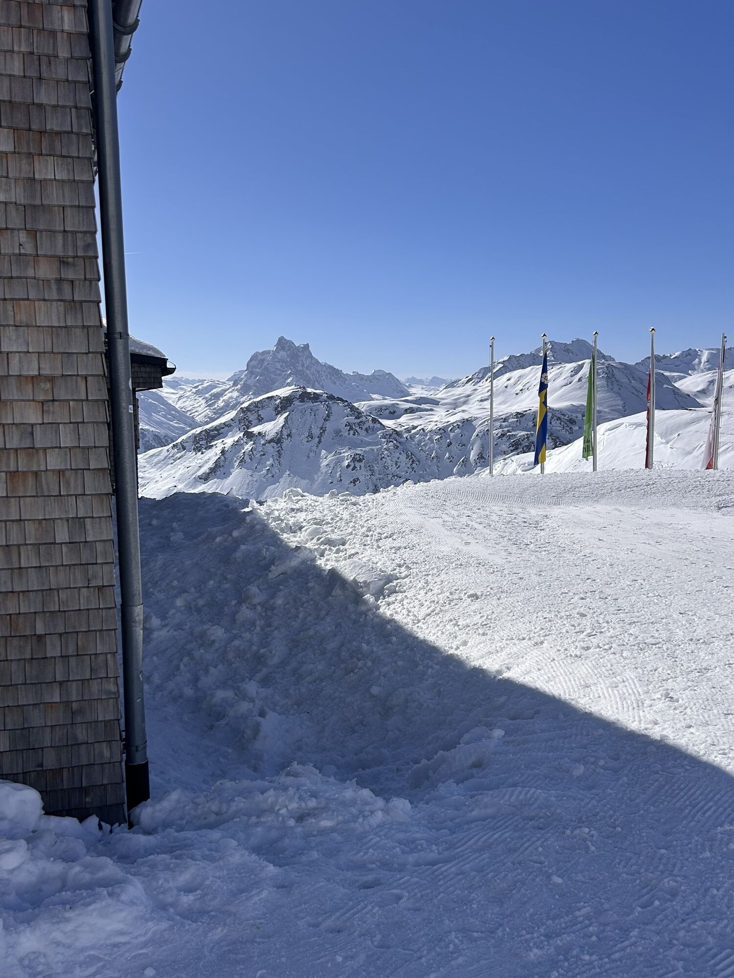

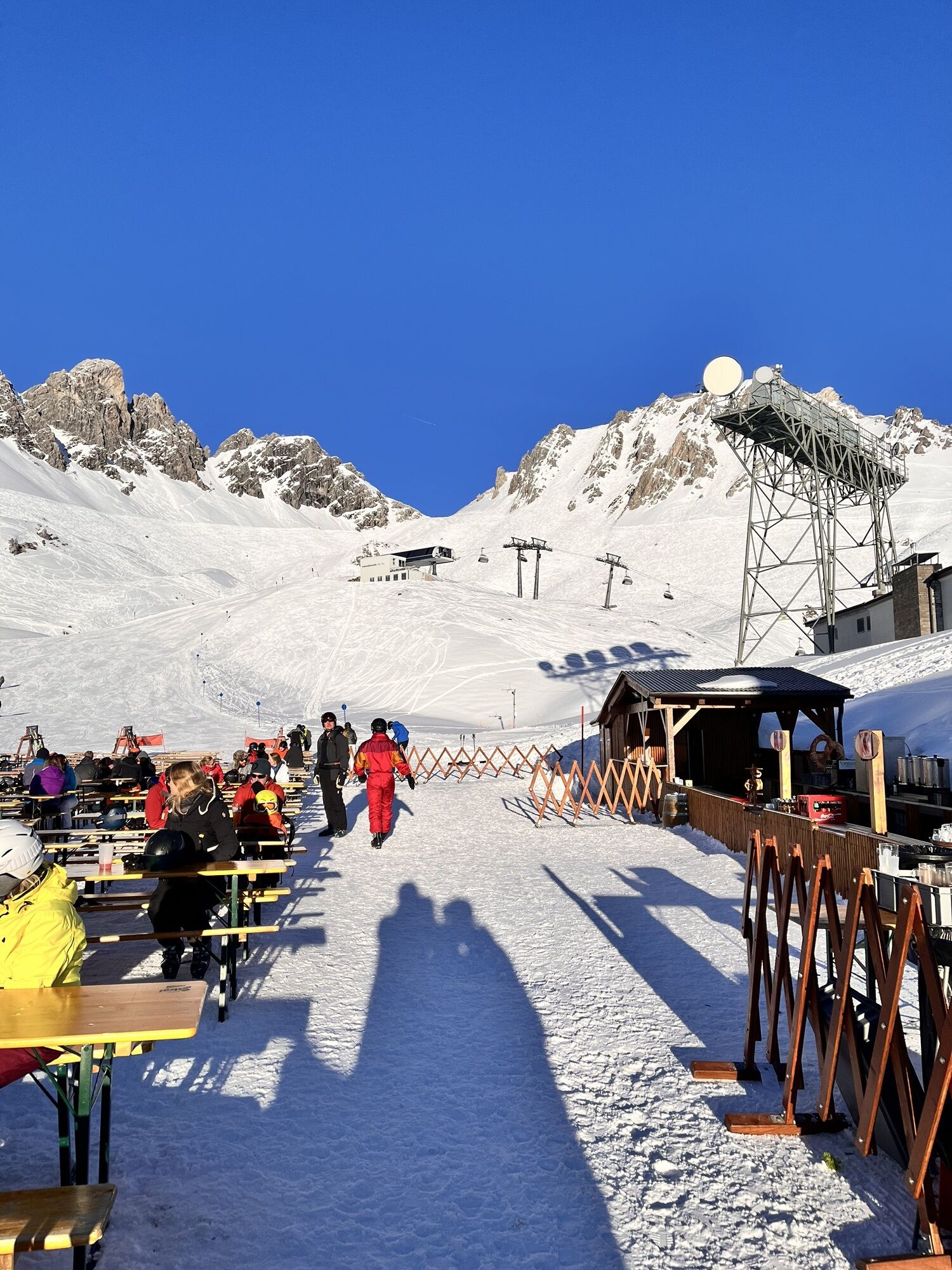
The Ulmer hut is best known in winter – but also in summer you can enjoy the peace and silence at 2,285m directly under the roof of the Arlberg: The Valluga mountain.

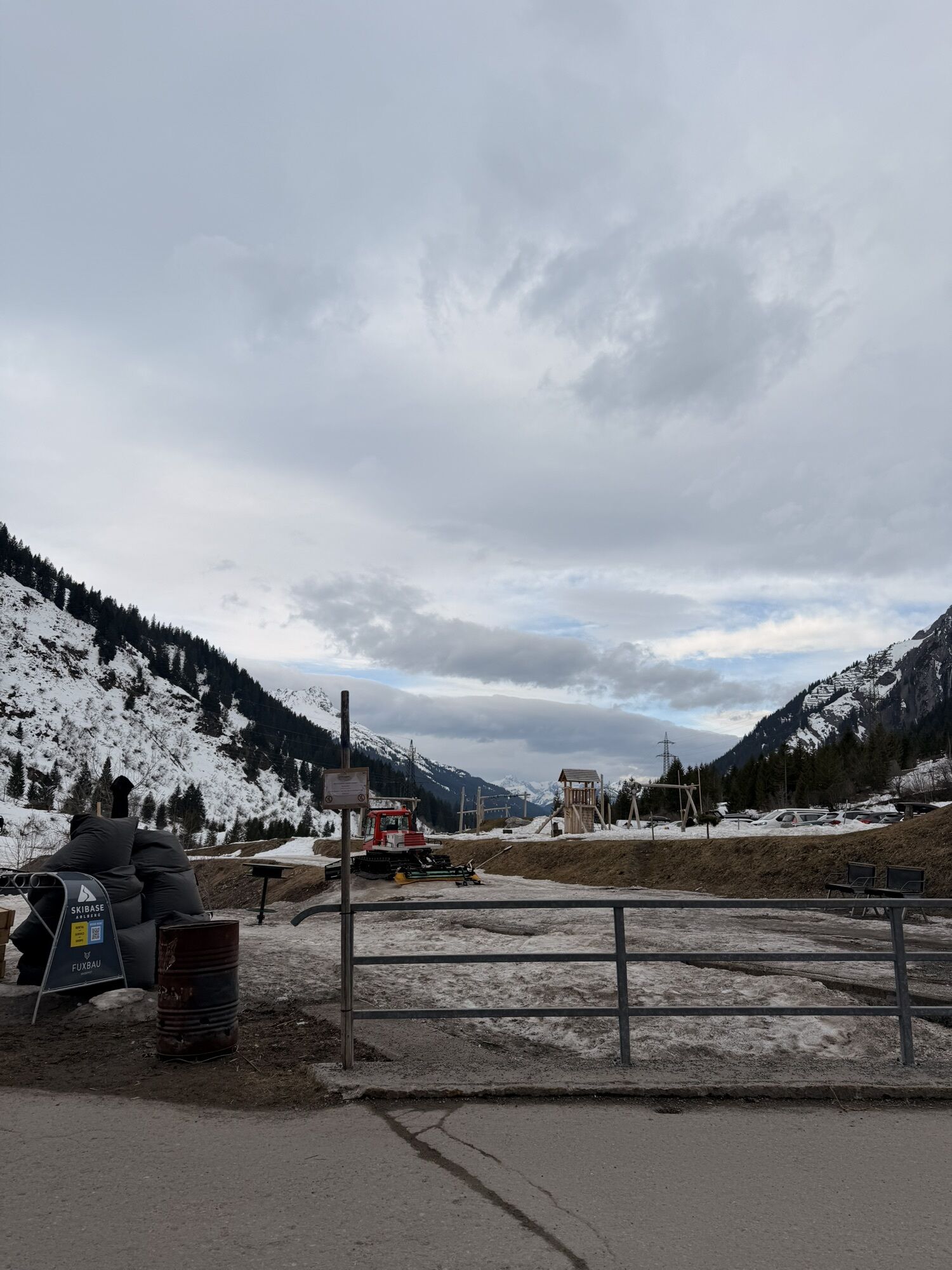
Back to Stuben, follow the Adlerweg hiking path for a short while and then turn right below the Arlenmäderbahn chair lift to the junction with the Jakobsweg (way of St. James). Follow this to the Rasthaus Valfagehr and continue through the Rauztobel ravine to Stuben.
Tak
Sturdy shoes (ankle-high), clothing appropriate for the weather, rain & sun protection, cell phone for emergencies, possibly hiking poles (especially for the descent), enough liquid & possibly small mountain snack.
140 Alpine Emergencies Austria-wide
144 Alpine Emergencies Vorarlberg
112 Euro emergency call (works with any mobile phone/network)
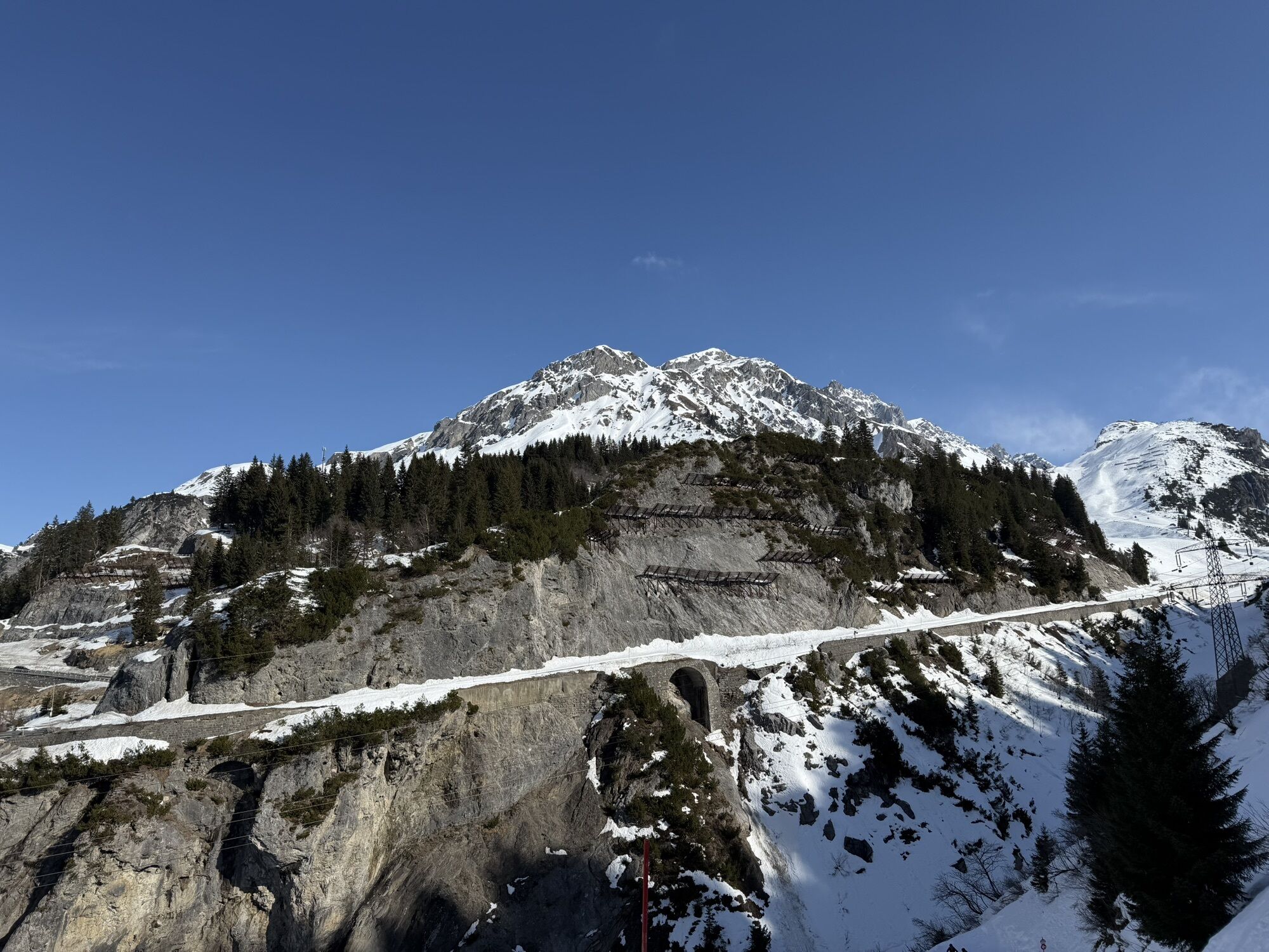
From Germany: Take the A96 to Bregenz, then the A14 to Bludenz, and continue on the S16 to the Lech Zürs am Arlberg exit. Follow the B197 through Stuben, up the winding road to the Flexengalerie and over the Flexen Pass to reach Lech Zürs am Arlberg.
From Switzerland: Take the A13 and cross the border at Feldkirch, Hohenems or Lustenau onto the A14 to Bludenz. Continue on the S16 to the Lech Zürs am Arlberg exit. Take the B197 through Stuben, up the winding road to the Flexengalerie and over the Flexen Pass to reach Lech Zürs am Arlberg.
From Austria: Take the A12 Inntal motorway and continue on the S16 to the St. Anton am Arlberg (Arlberg Pass) exit. Follow the B197 first through St. Anton, then through St. Christoph and over the Arlberg Pass to Alpe Rauz. Here, turn right onto the B198. Through the Flexengalerie and over the Flexen Pass, you will reach Lech Zürs am Arlberg.
Take the train to Langen am Arlberg or St. Anton am Arlberg station. From there, buses (nos. 750 and 760) run regularly to Lech Zürs am Arlberg. The 750 service also stops in Stuben.
You can either park your car directly at your accommodation or use the Anger underground car park. The car park is located right in the town centre, opposite the Dorfhus Lech. The car park is open 24 hours a day. The service desk is open from 08:00 to 17:00. Cash payments are not accepted. The bus that takes you to Stuben stops right outside the Dorfhus. Alternatively, there is a car park in Stuben.
T2
Please close any cattle fences again!
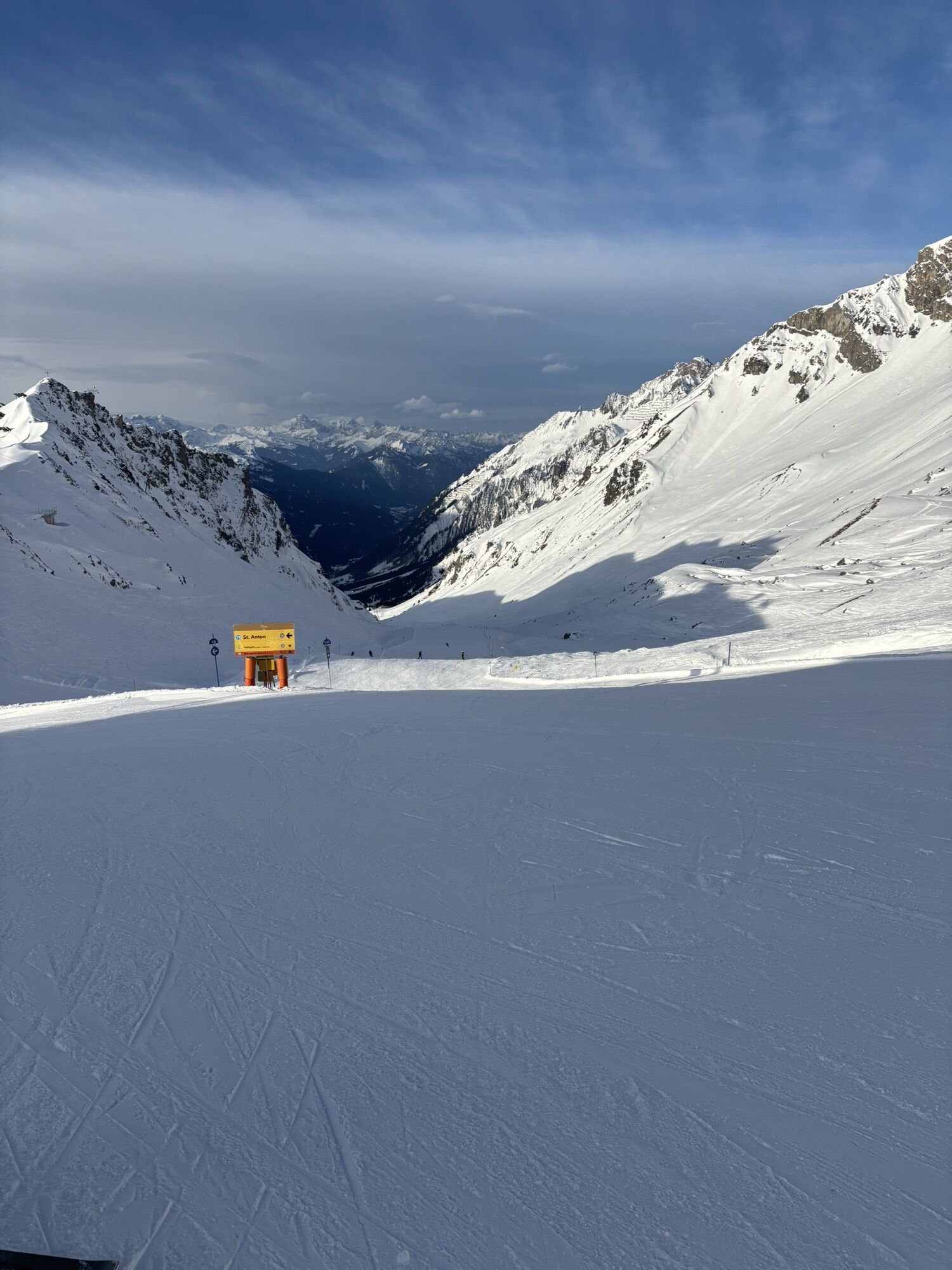
Sights: View of the Schindlergrat and towards Valluga.
From the Ulmer Hütte, it takes about an hour to reach the Vallugabahn II. This cable car takes you to the Valluga viewing platform, where you can enjoy a breathtaking 360-degree panoramic view.
Refreshment stops: Ulmer hut, Rasthaus Valfagehr, restaurants in Stuben
Popularne wycieczki w okolicy
- 4,8
Biberkopf
ciężkiWędrówka 7,70 km - 4,6
Kristberg - Wasserstubental - Silbertal
światłoWędrówka 13,8 km - 4,4
St Anton zur Darmstädter Hütte
ciężkiMountainbike 28,4 km - 4,9
Braunarlspitze
ciężkiWędrówka 16,6 km - 4,0
Stuben - Stubner See - Kaltenberghütte - Stuben
średniWędrówka 9,90 km - 4,7
Muttjöchle summit trail
średniTrasa tematyczna 7,50 km - 4,1
Köbersee
światłoWędrówka 6,66 km - 4,7
Lechweg Etappe 1
światłoWędrówka 14,0 km - 4,5
Hoher Riffler from Pettneu
średniWycieczka narciarska 20,1 km - 4,9
From Klostertal over the Muttjöchle back to Montafon
średniWędrówka 6,70 km
Wędrówki i tropienie


Nie przegap ofert i inspiracji na następne wakacje
Twój adres e-mail została dodana do listy mailingowej.