







Walser Trail

Poziom trudności: T4
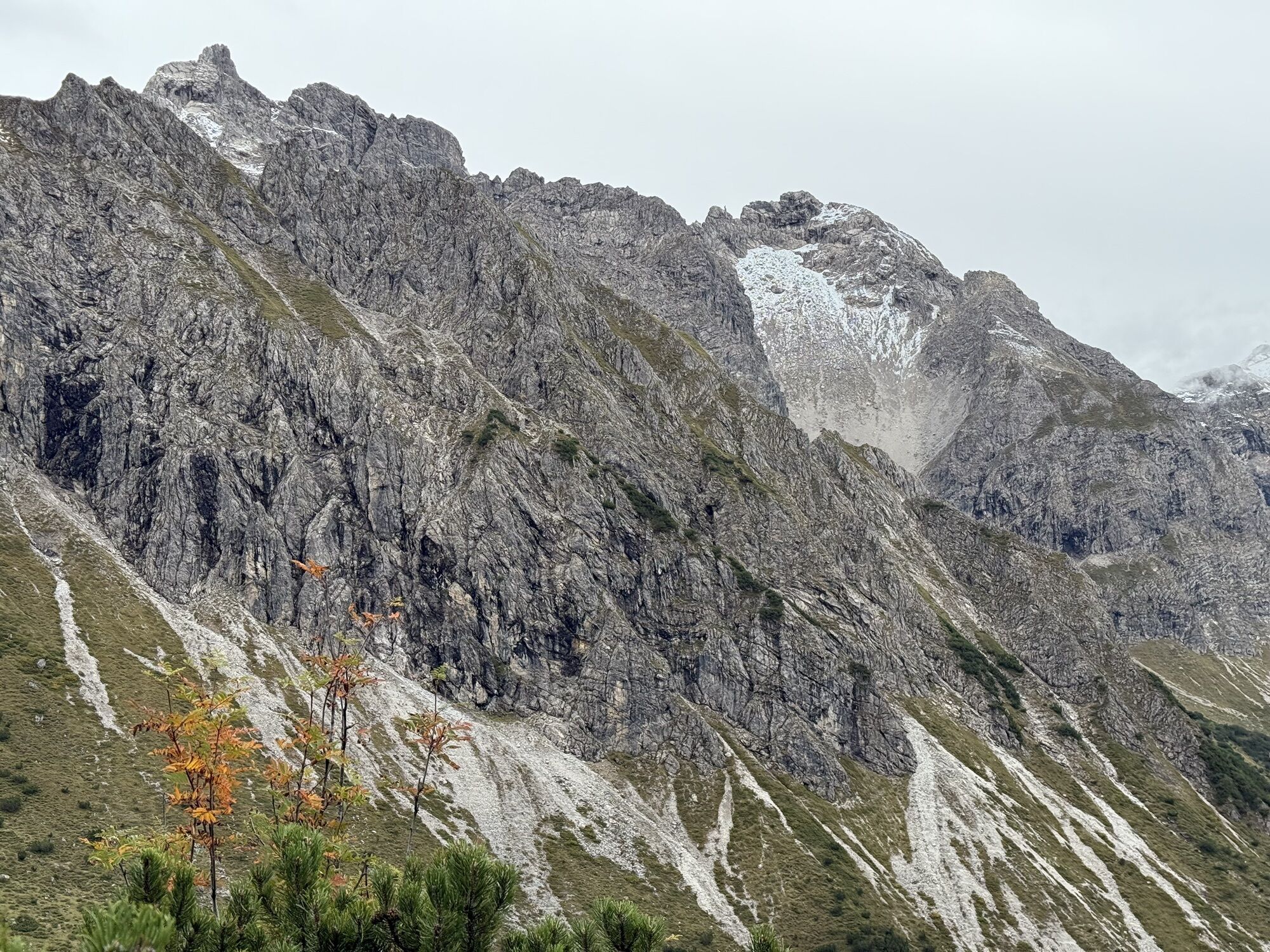
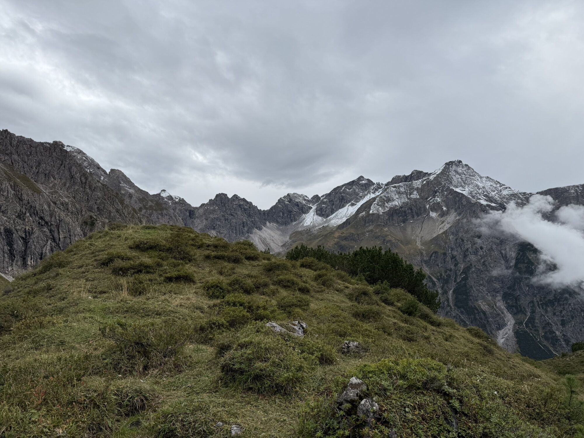
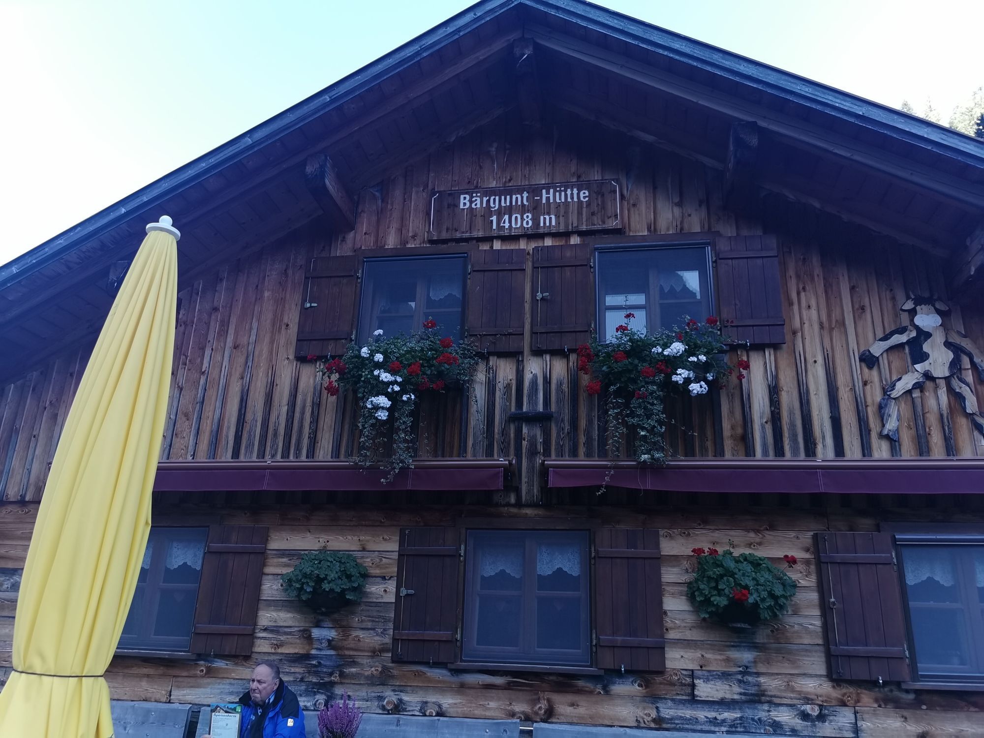
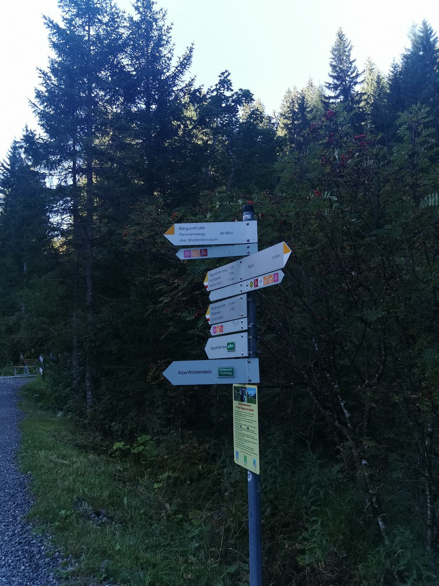
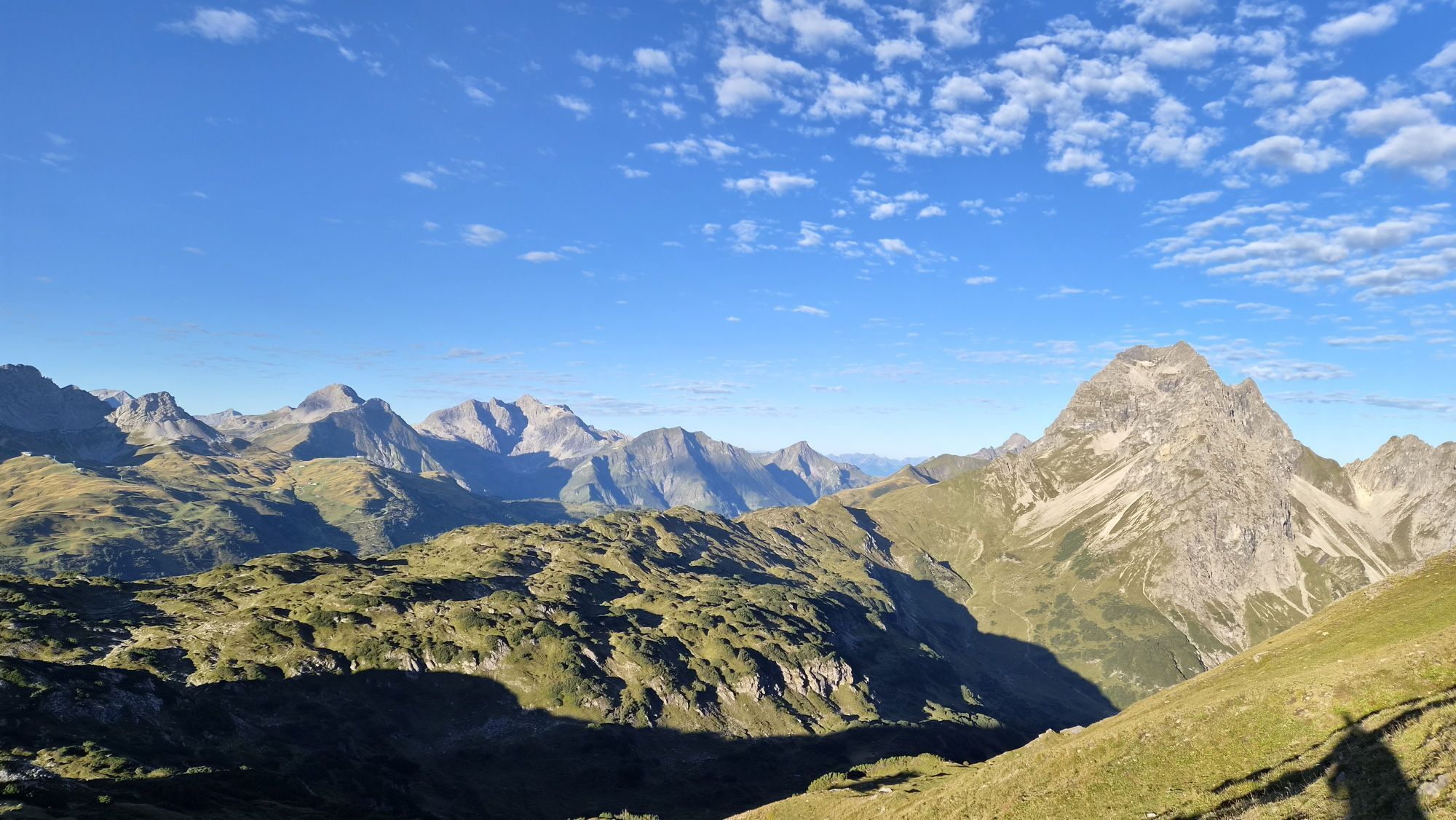
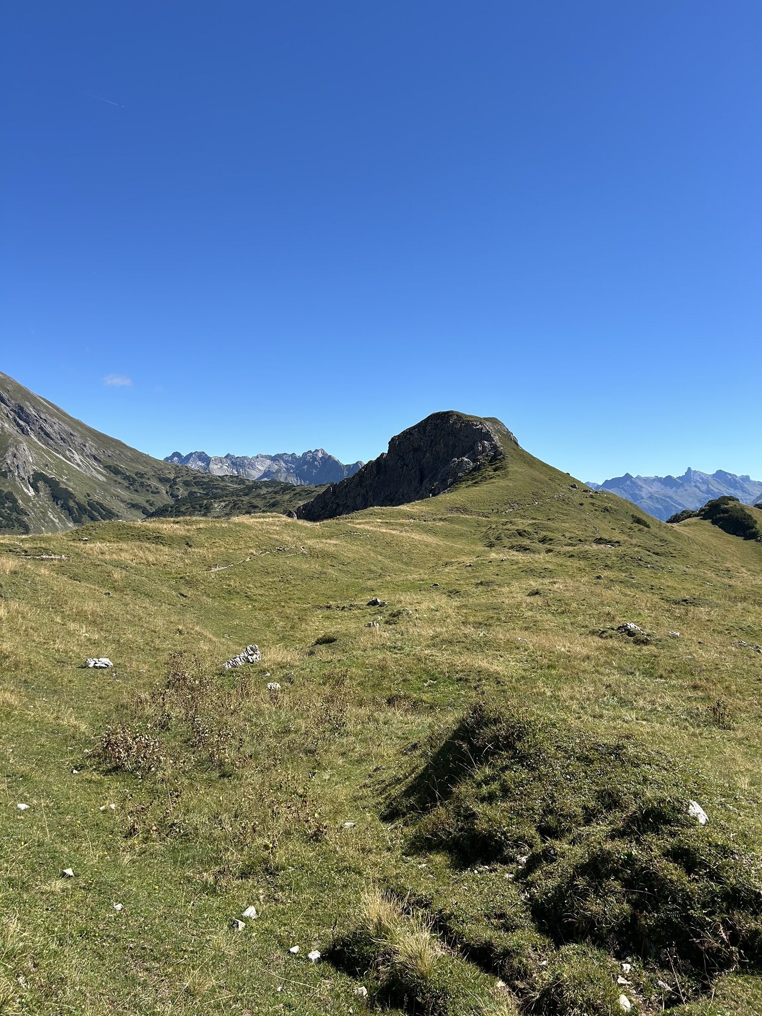
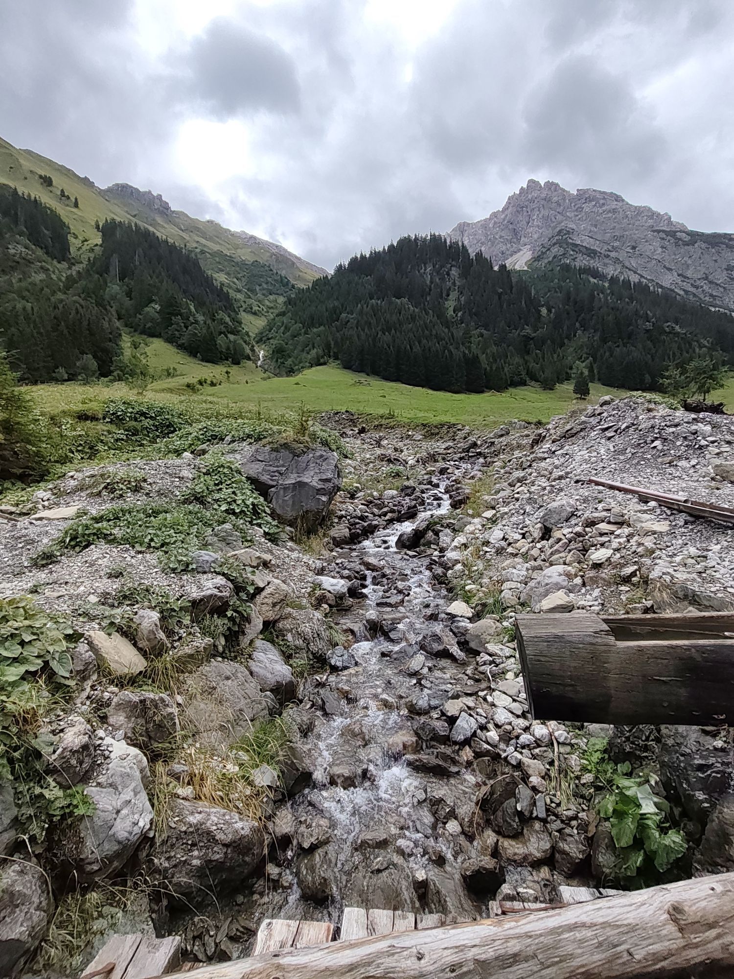
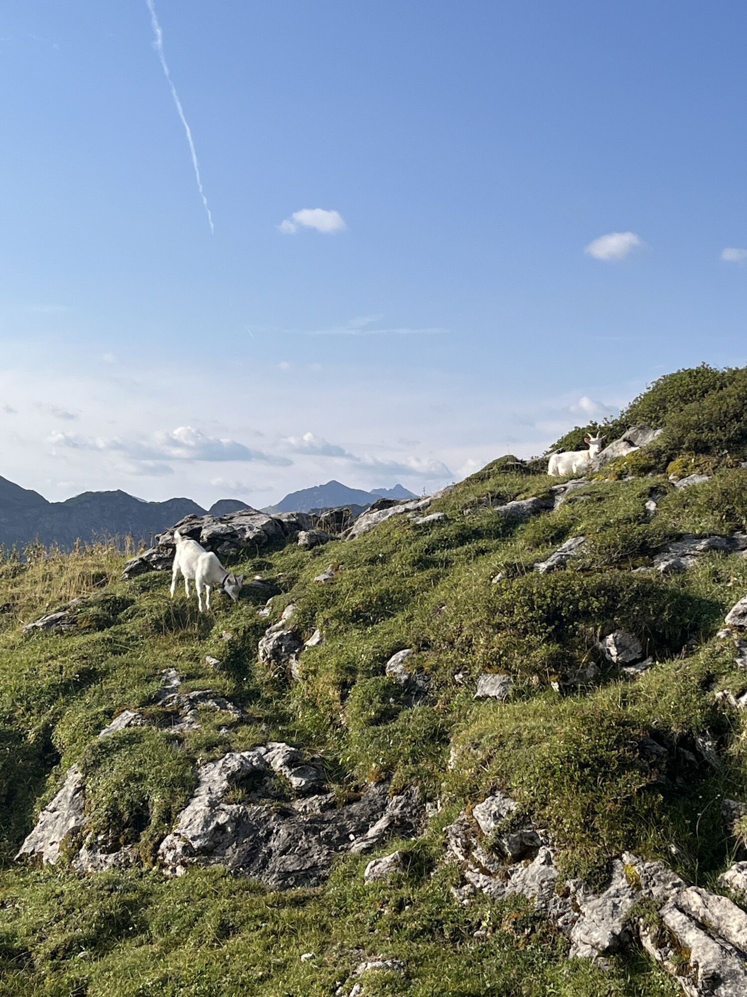
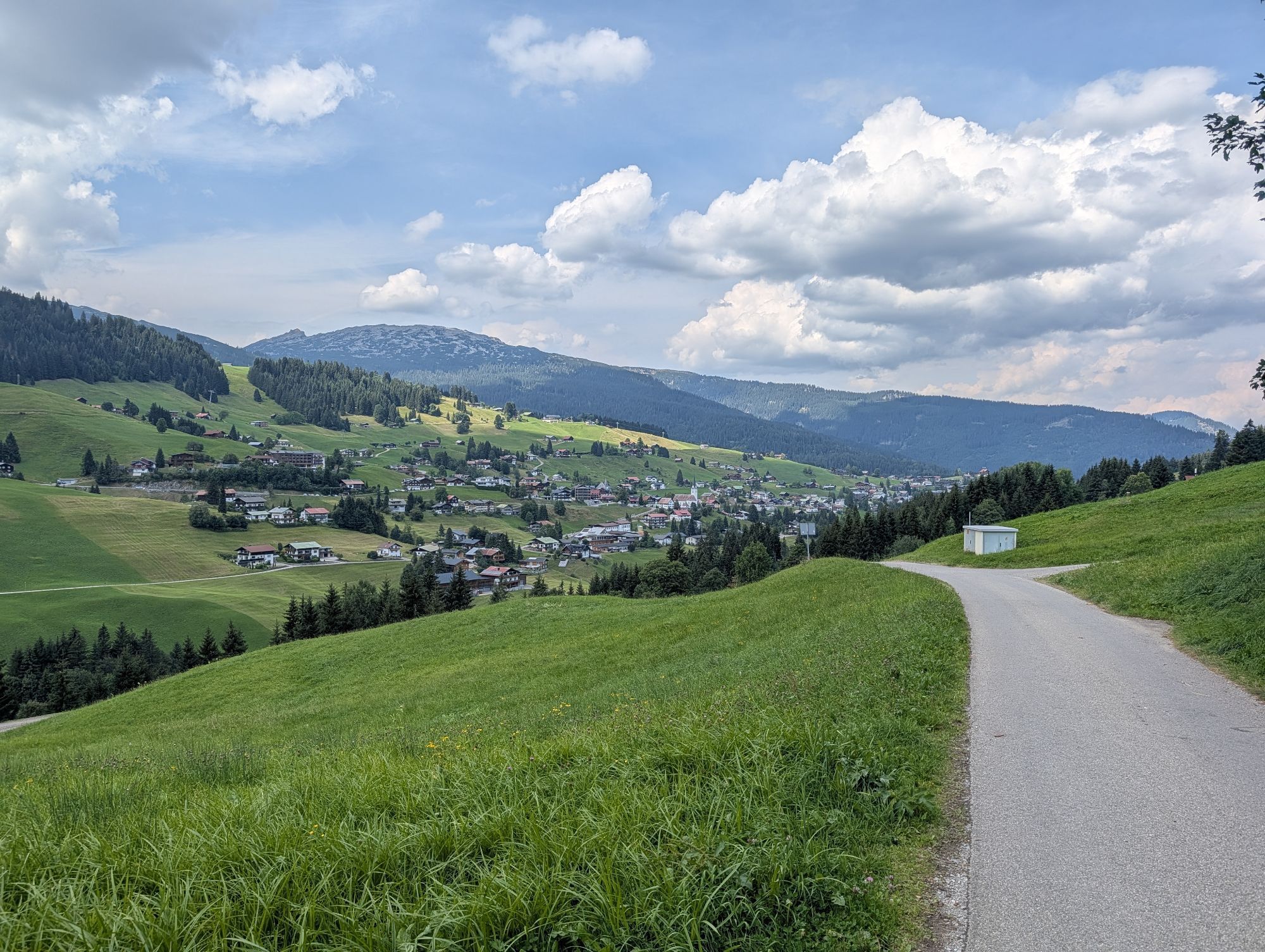
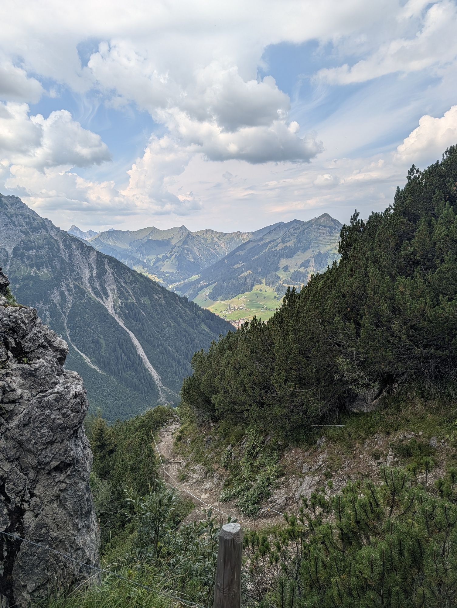
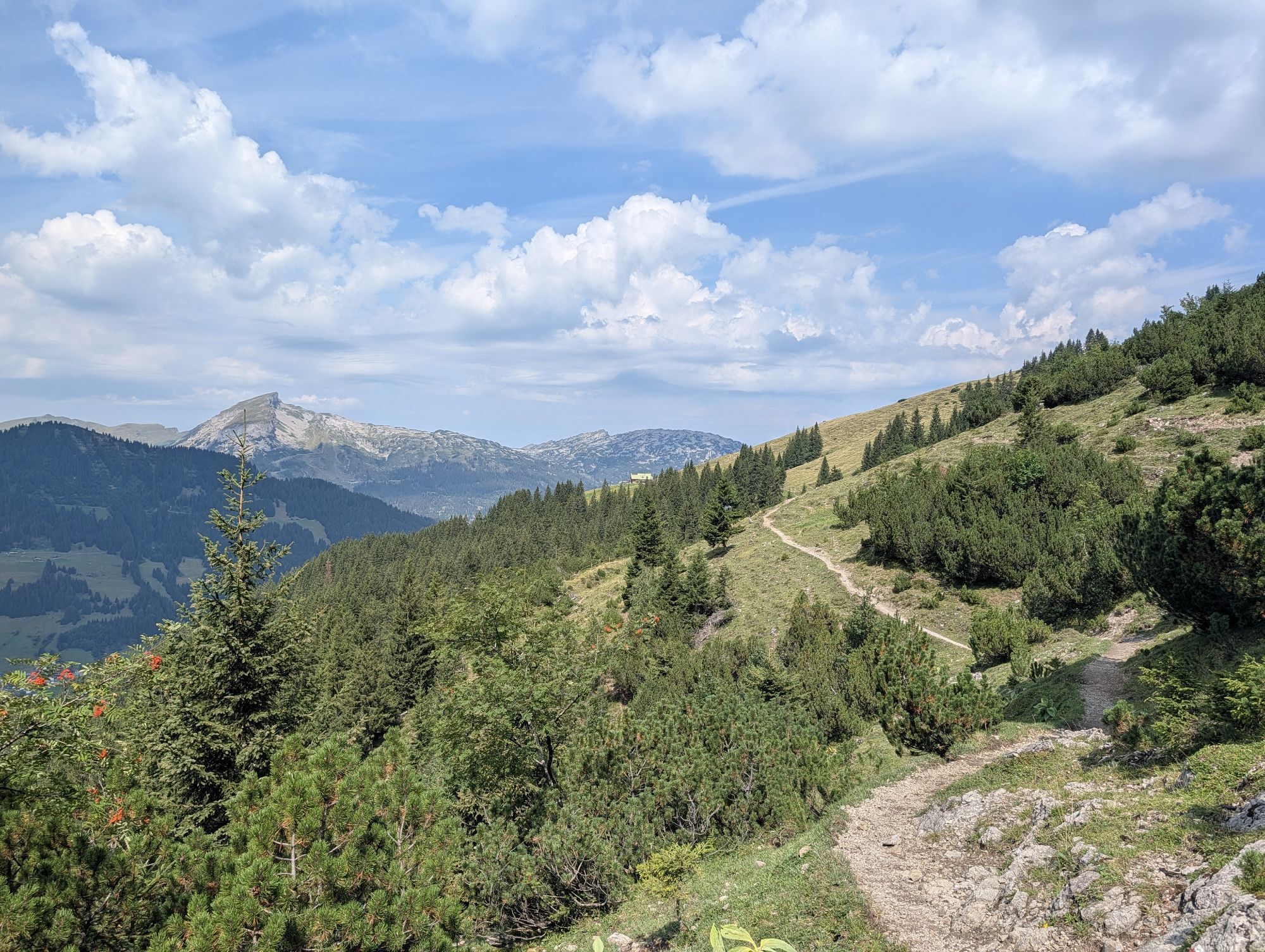
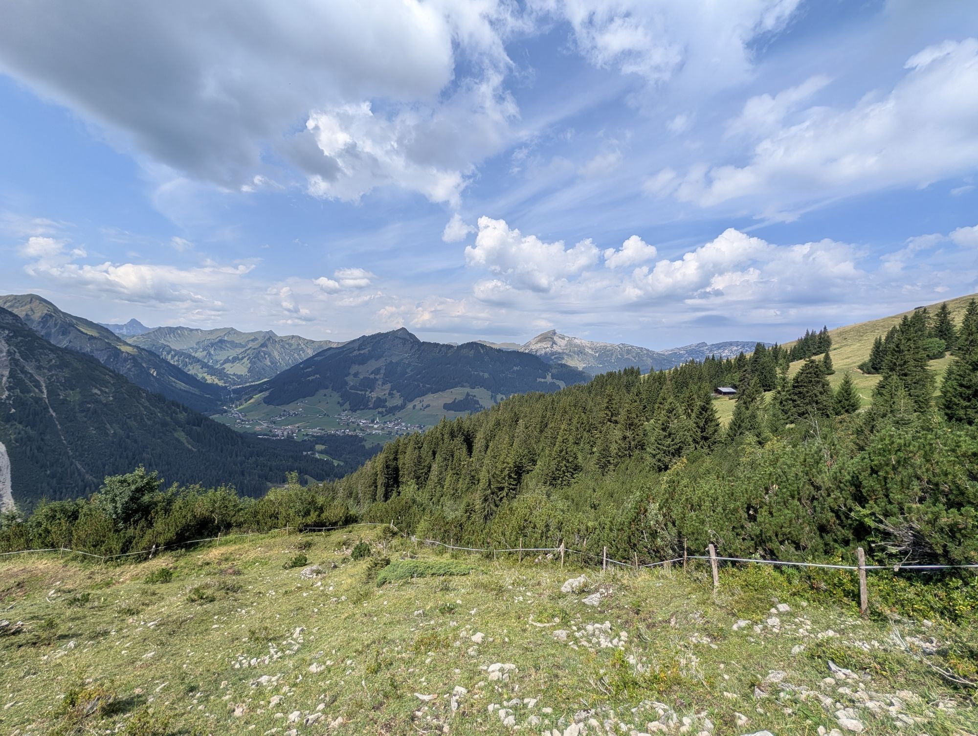
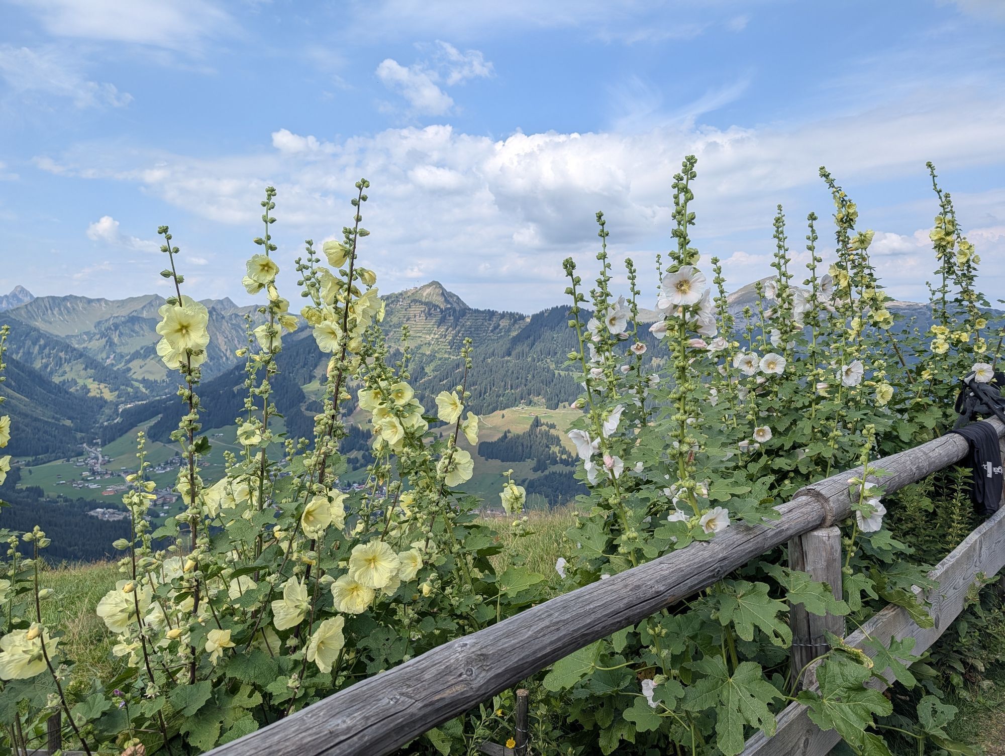
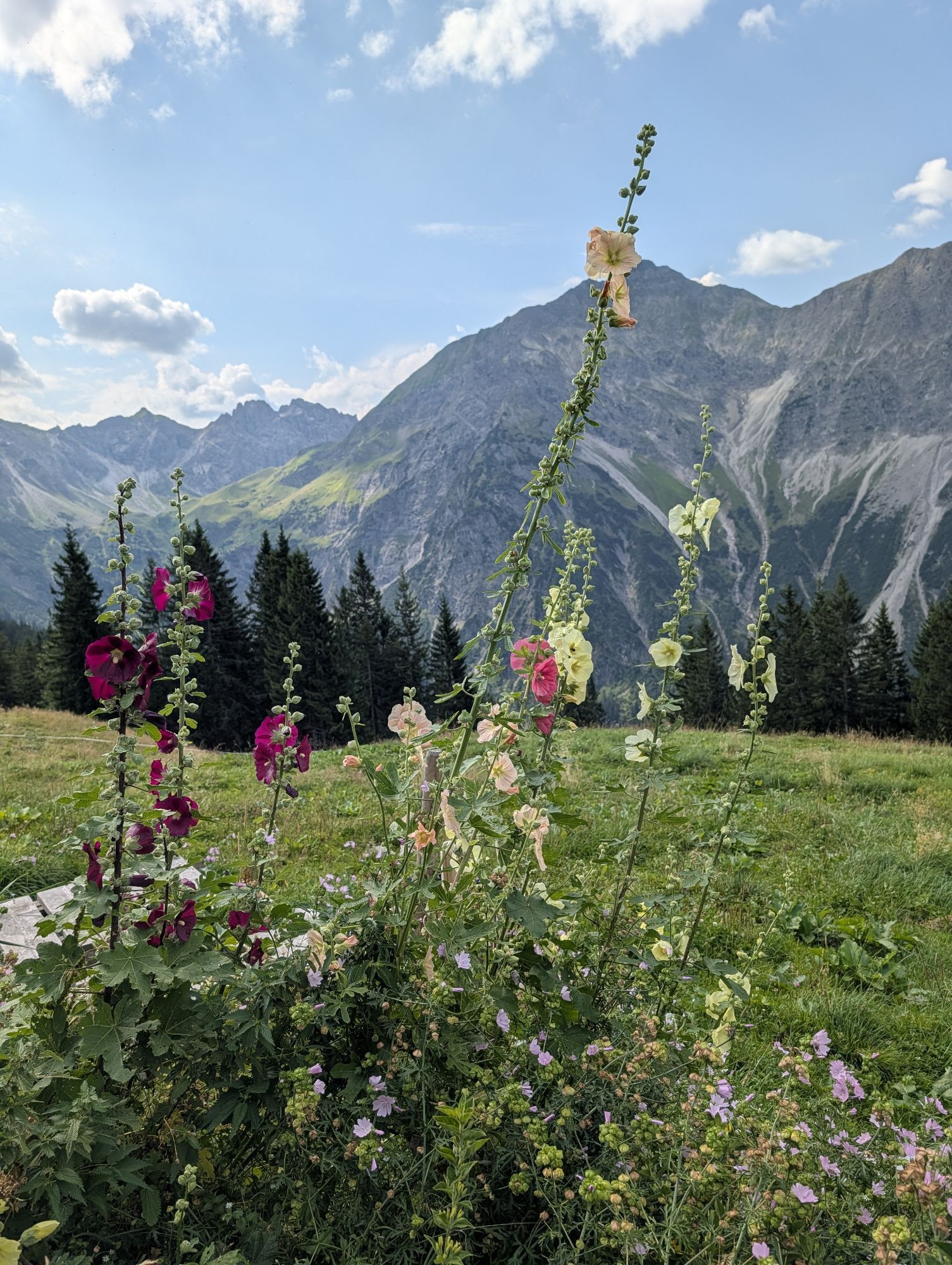
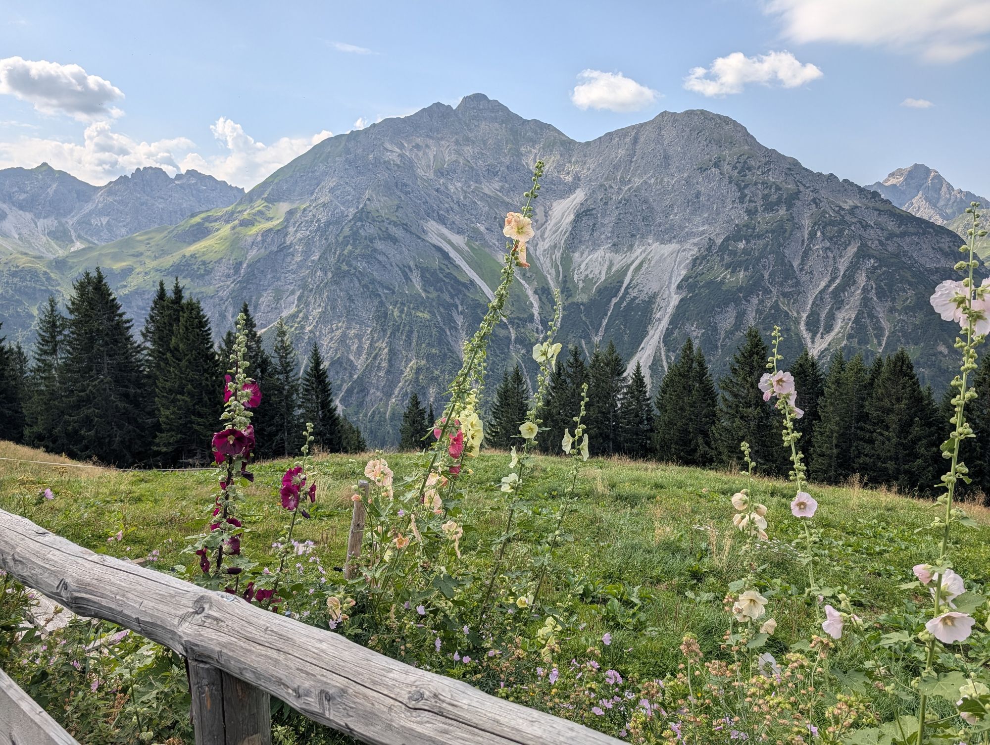
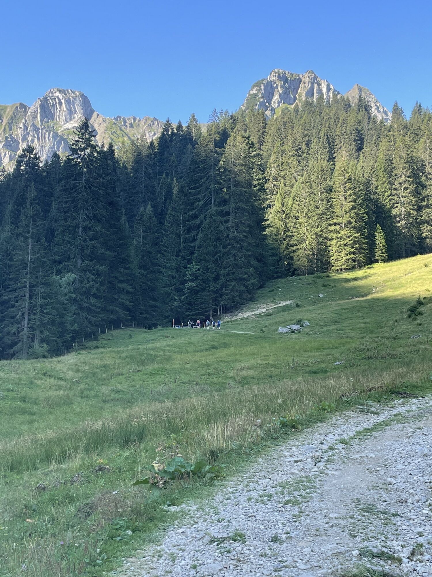
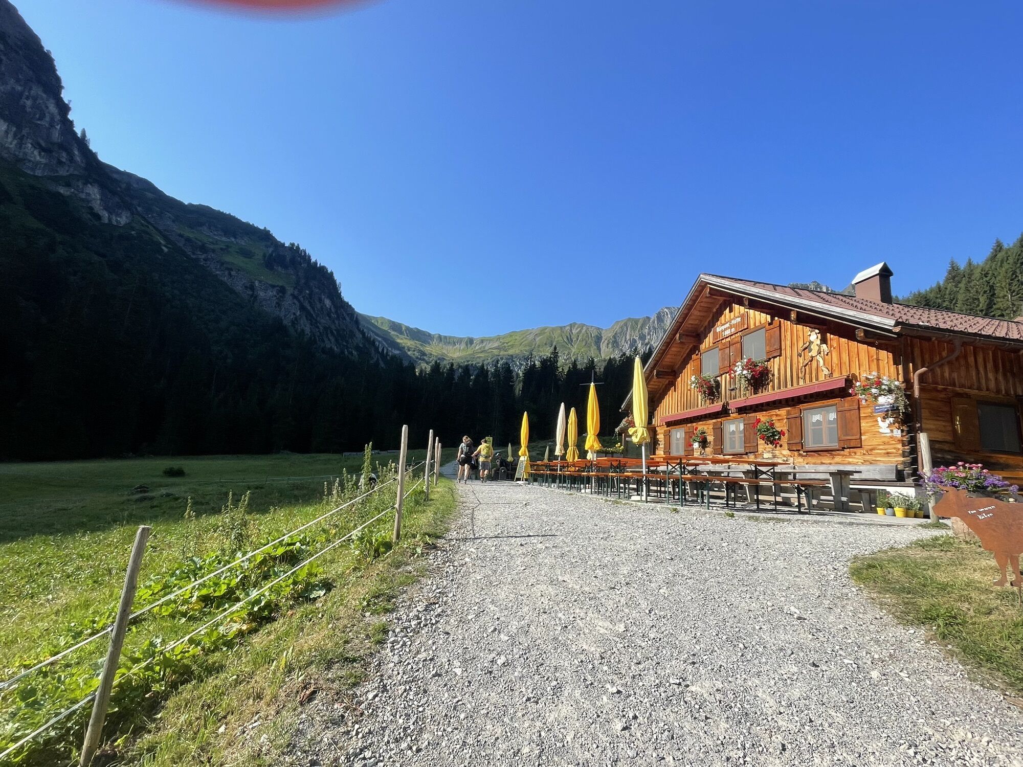
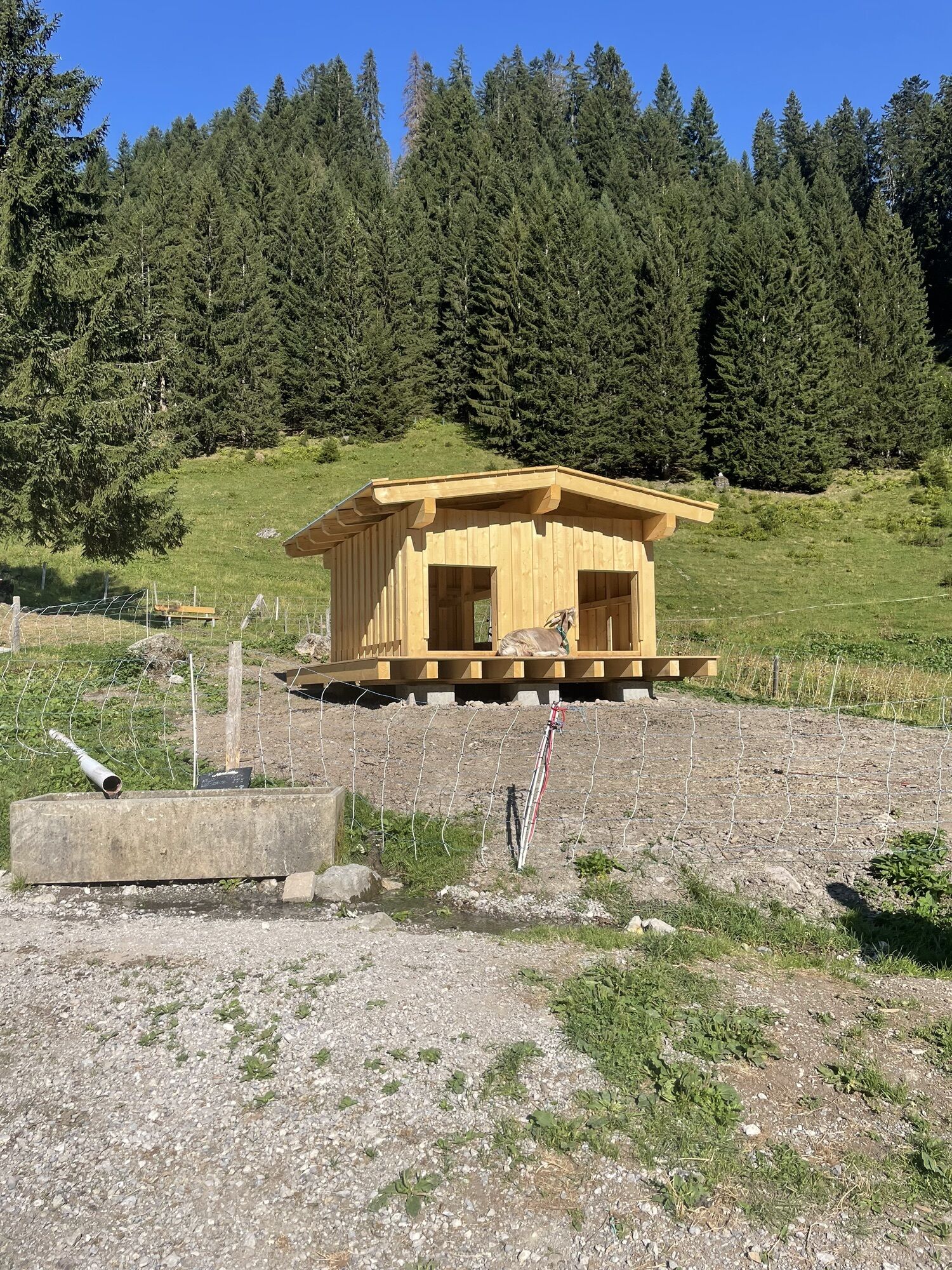
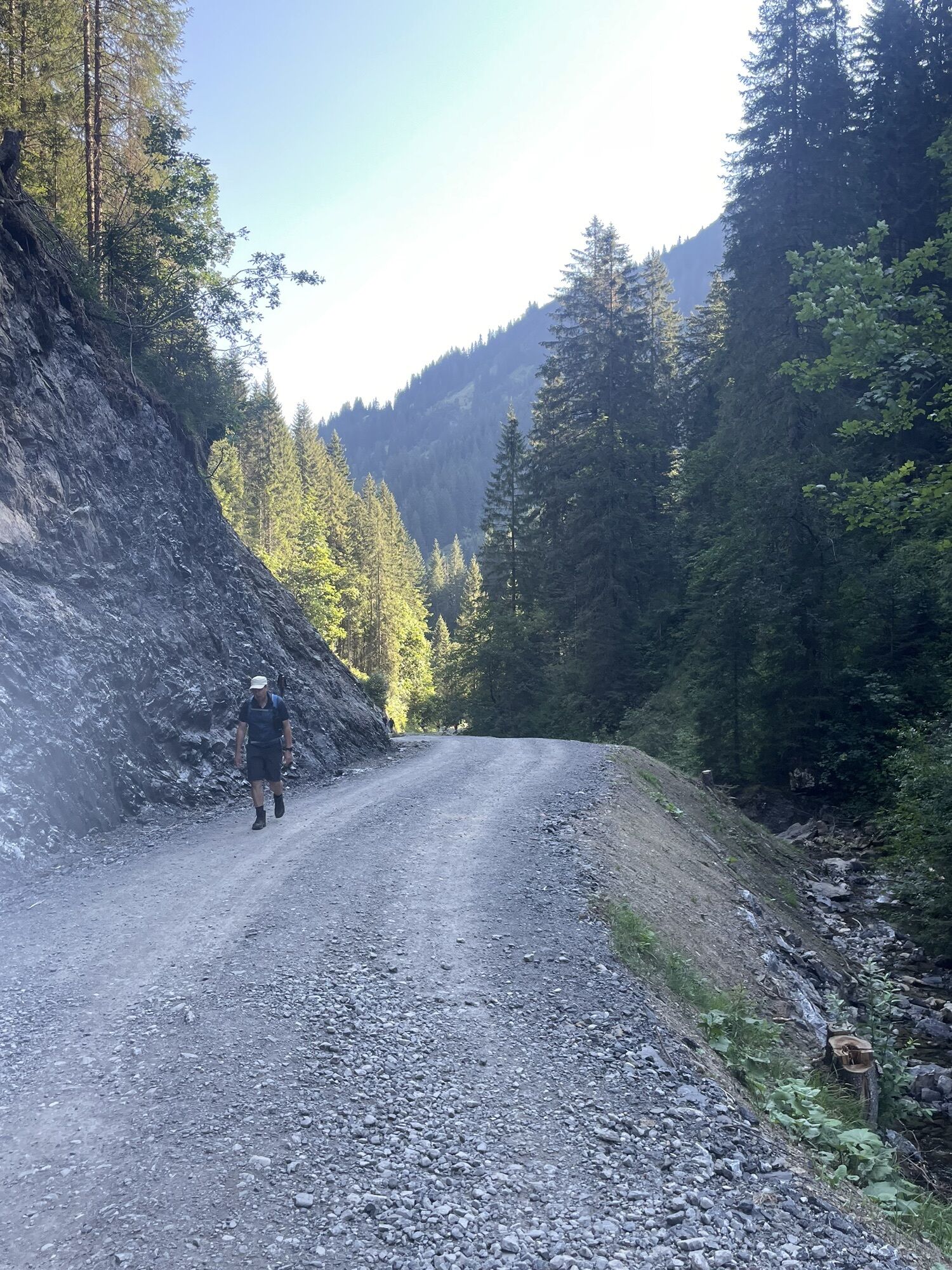
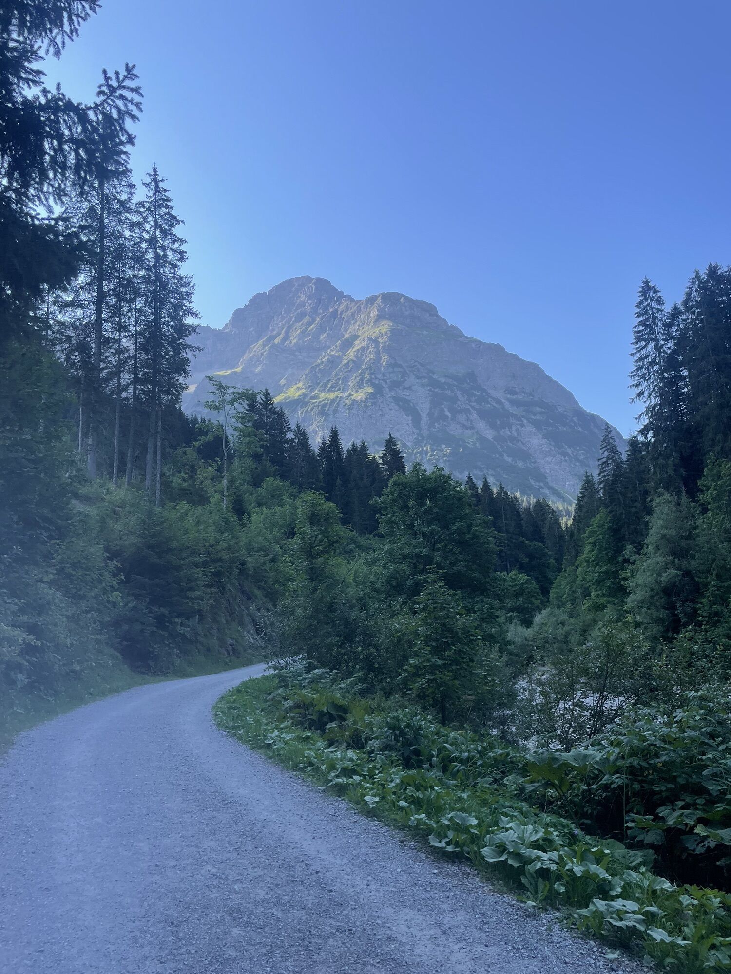
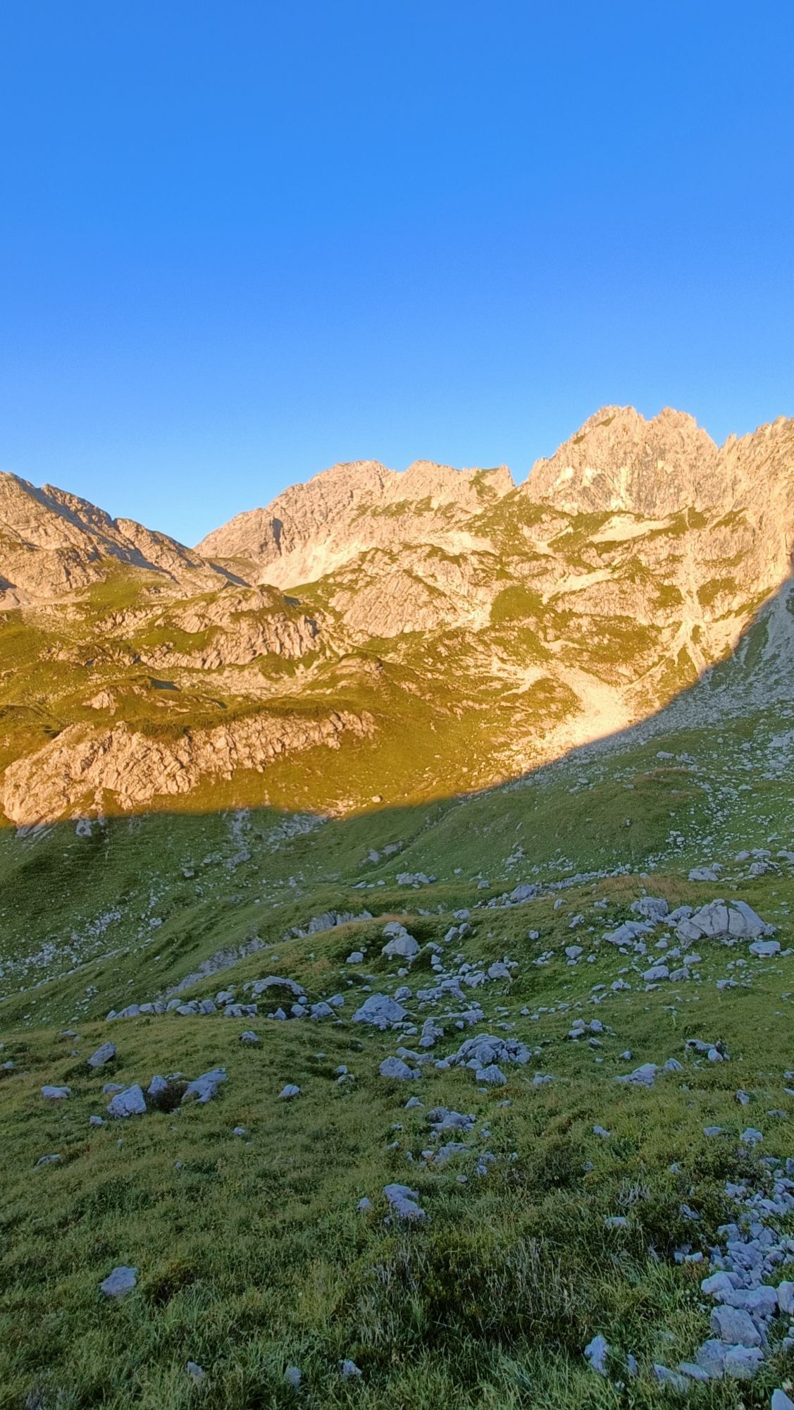
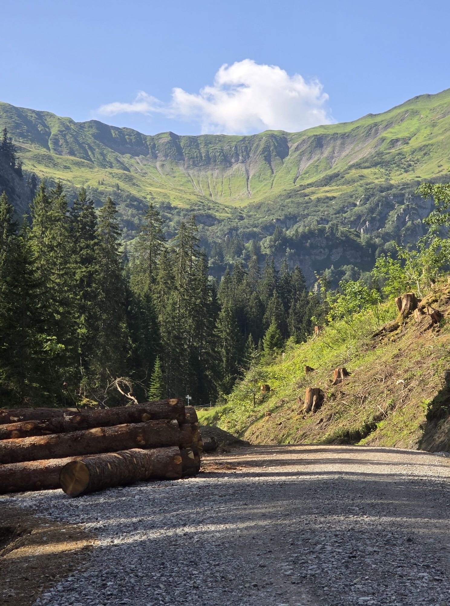
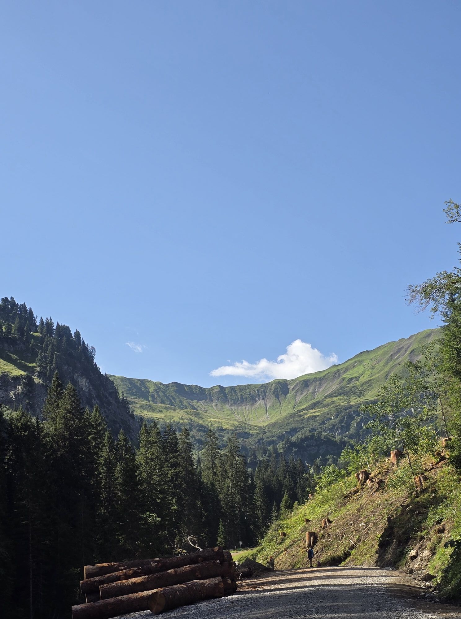
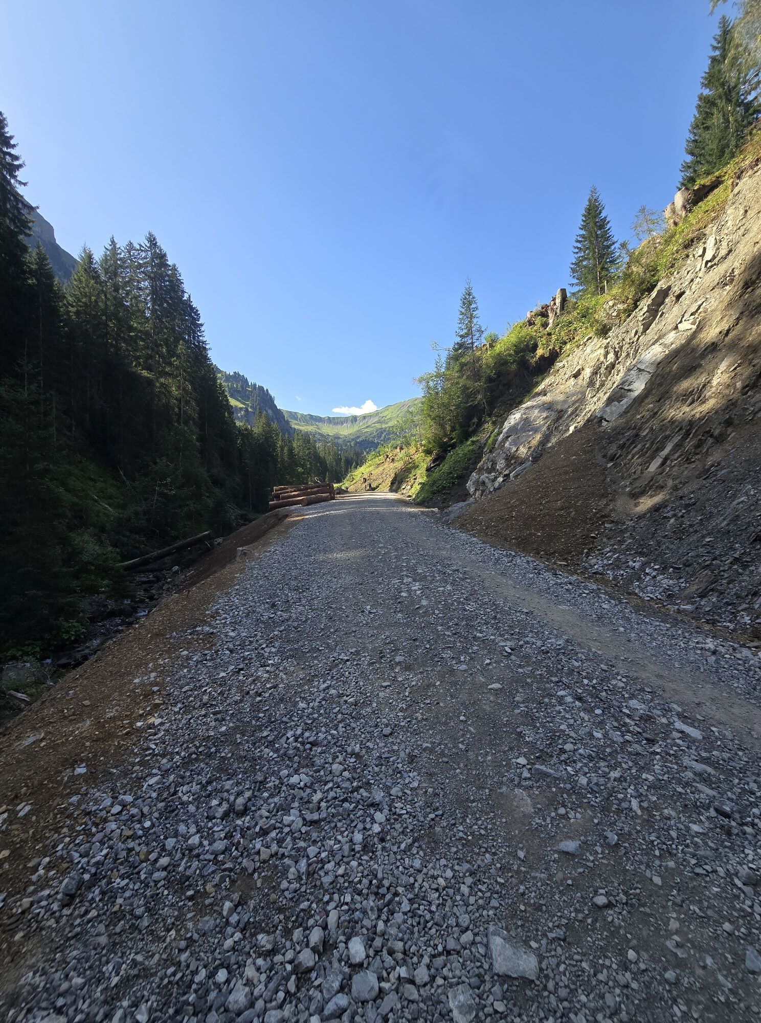
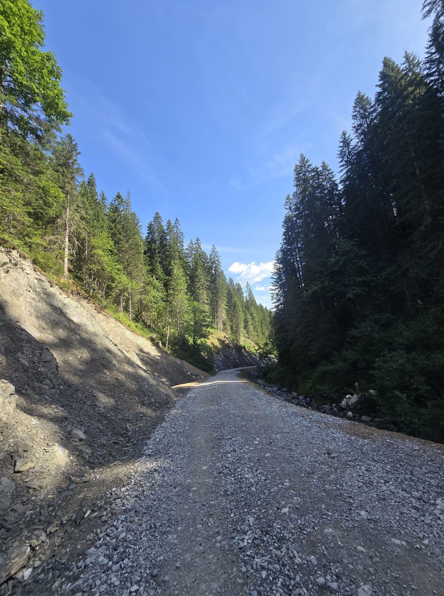
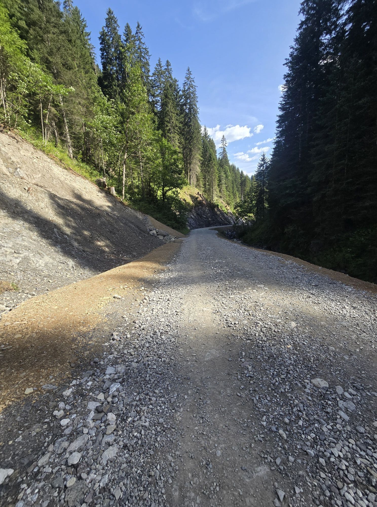
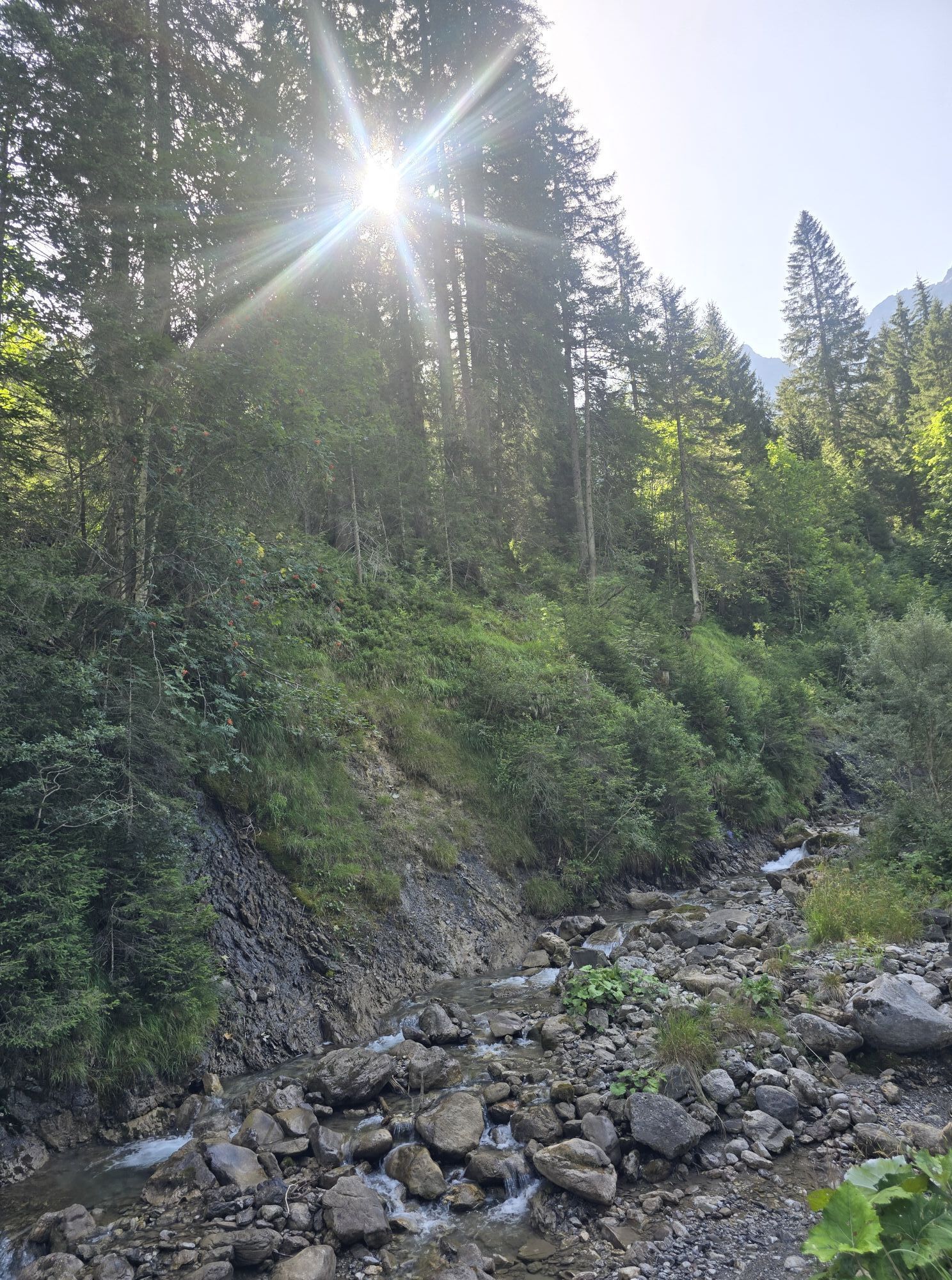
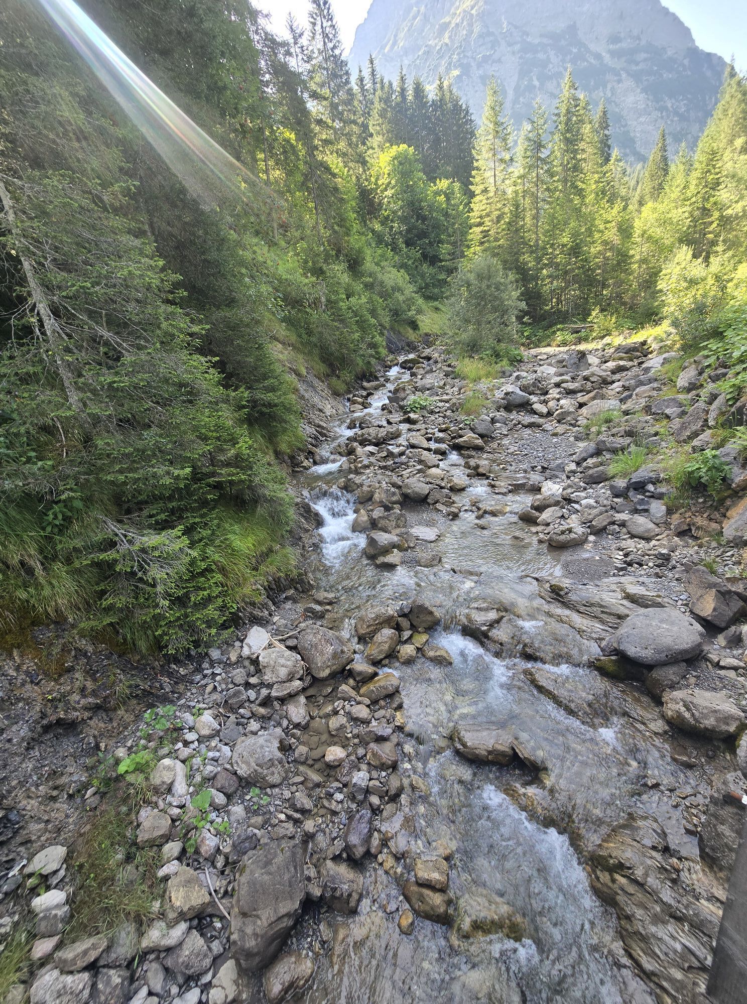
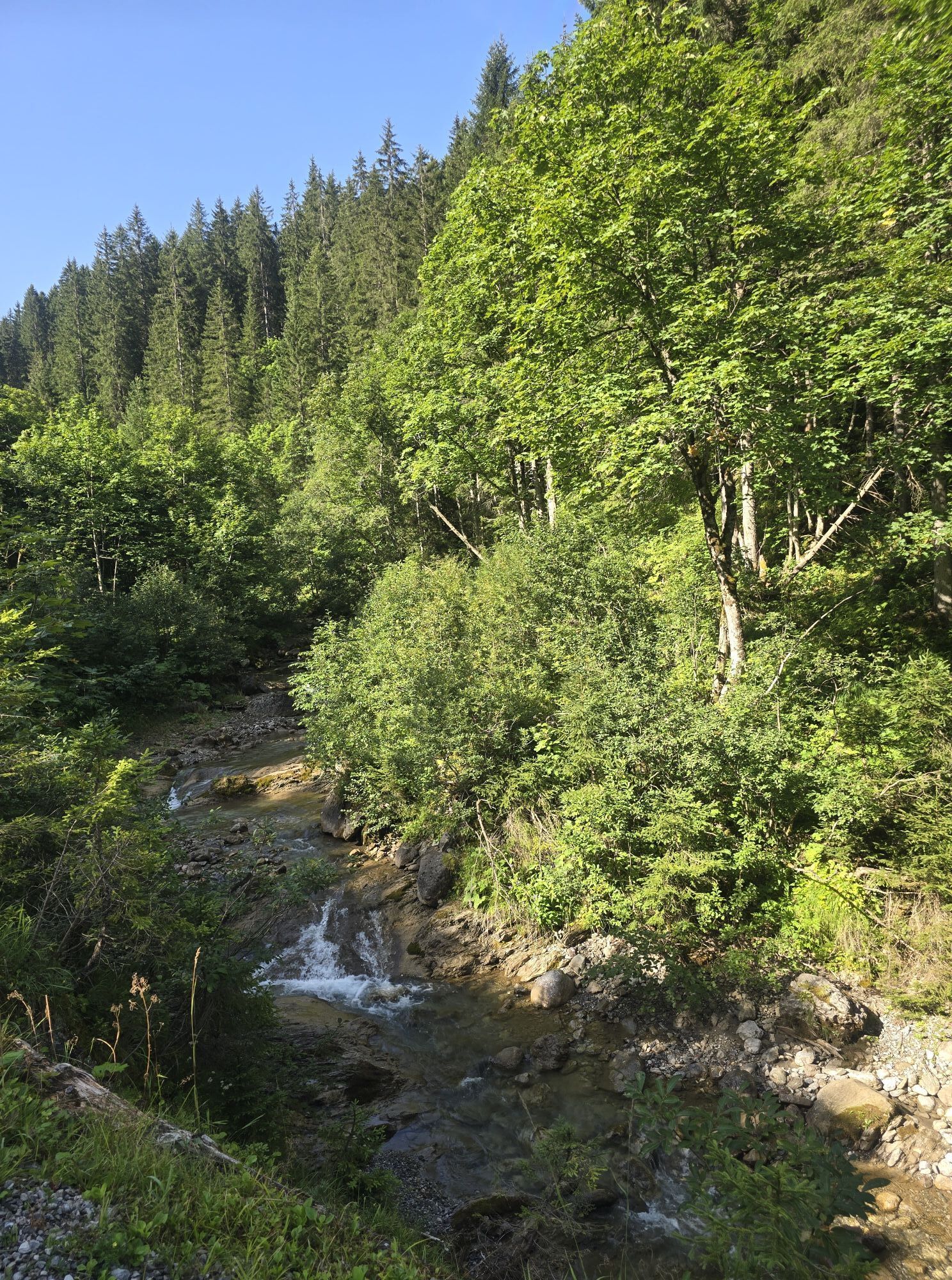
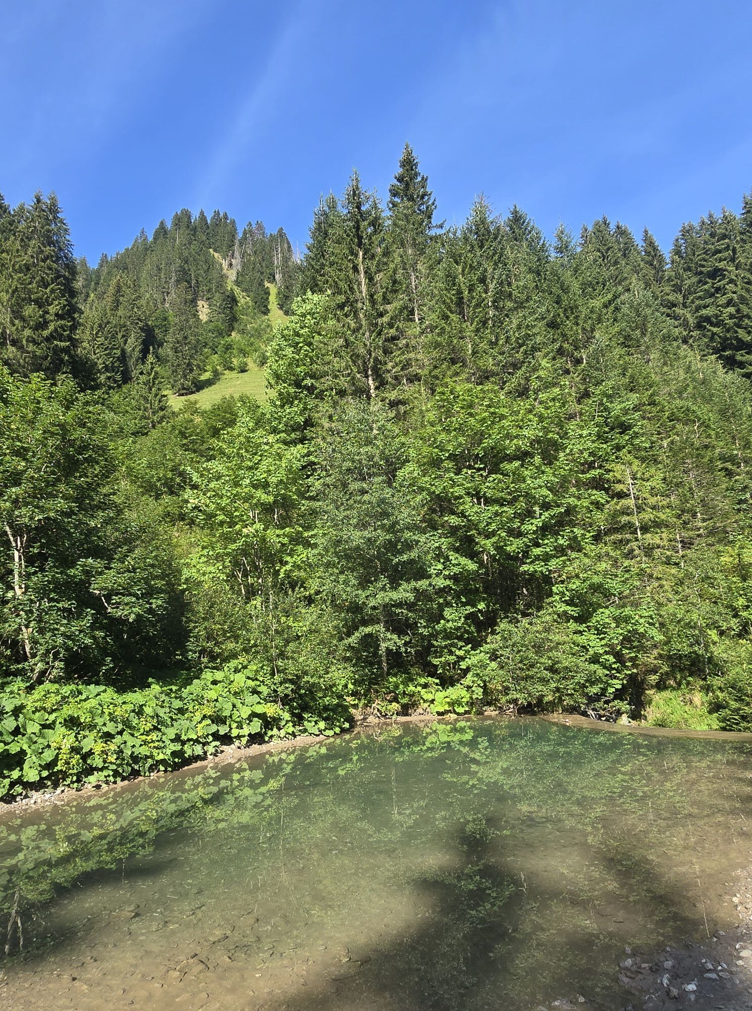
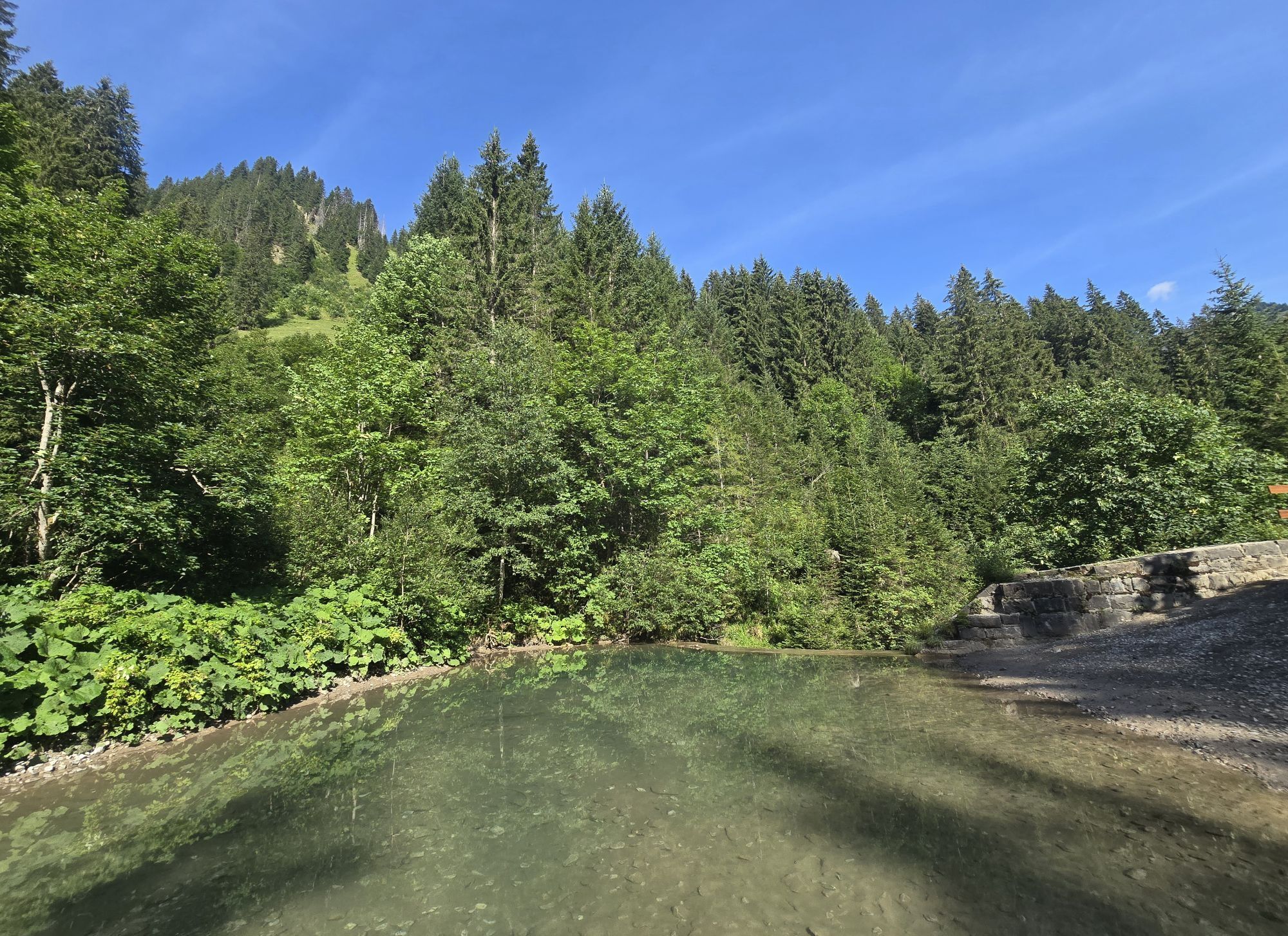
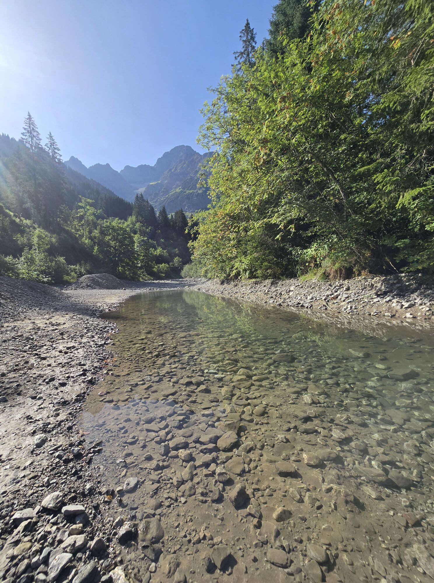
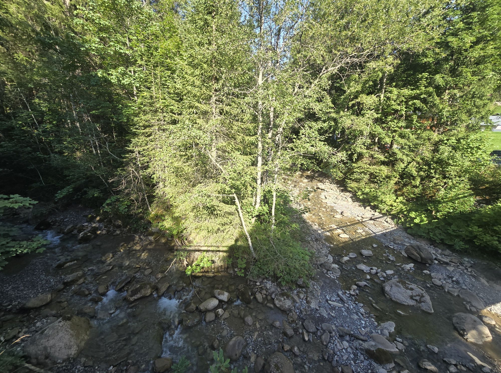
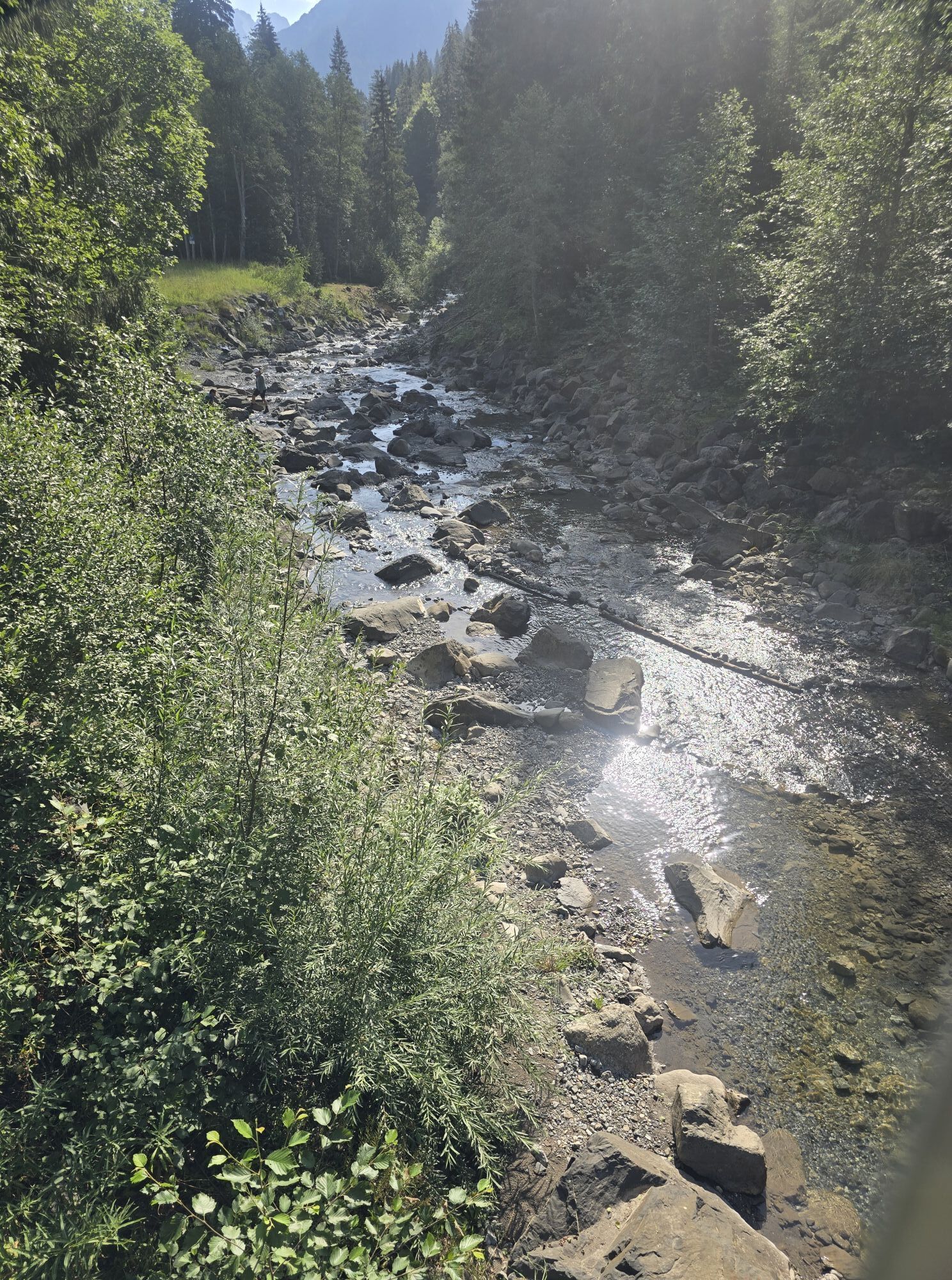
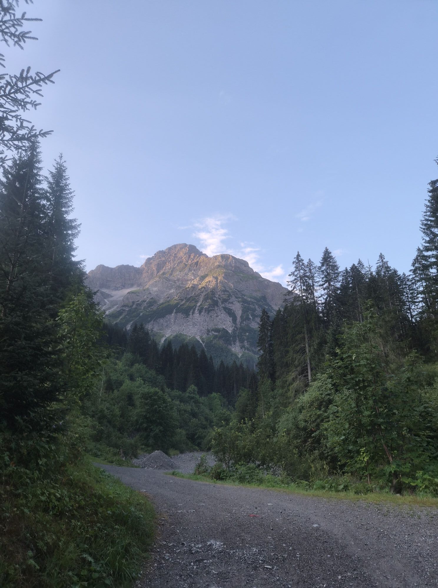
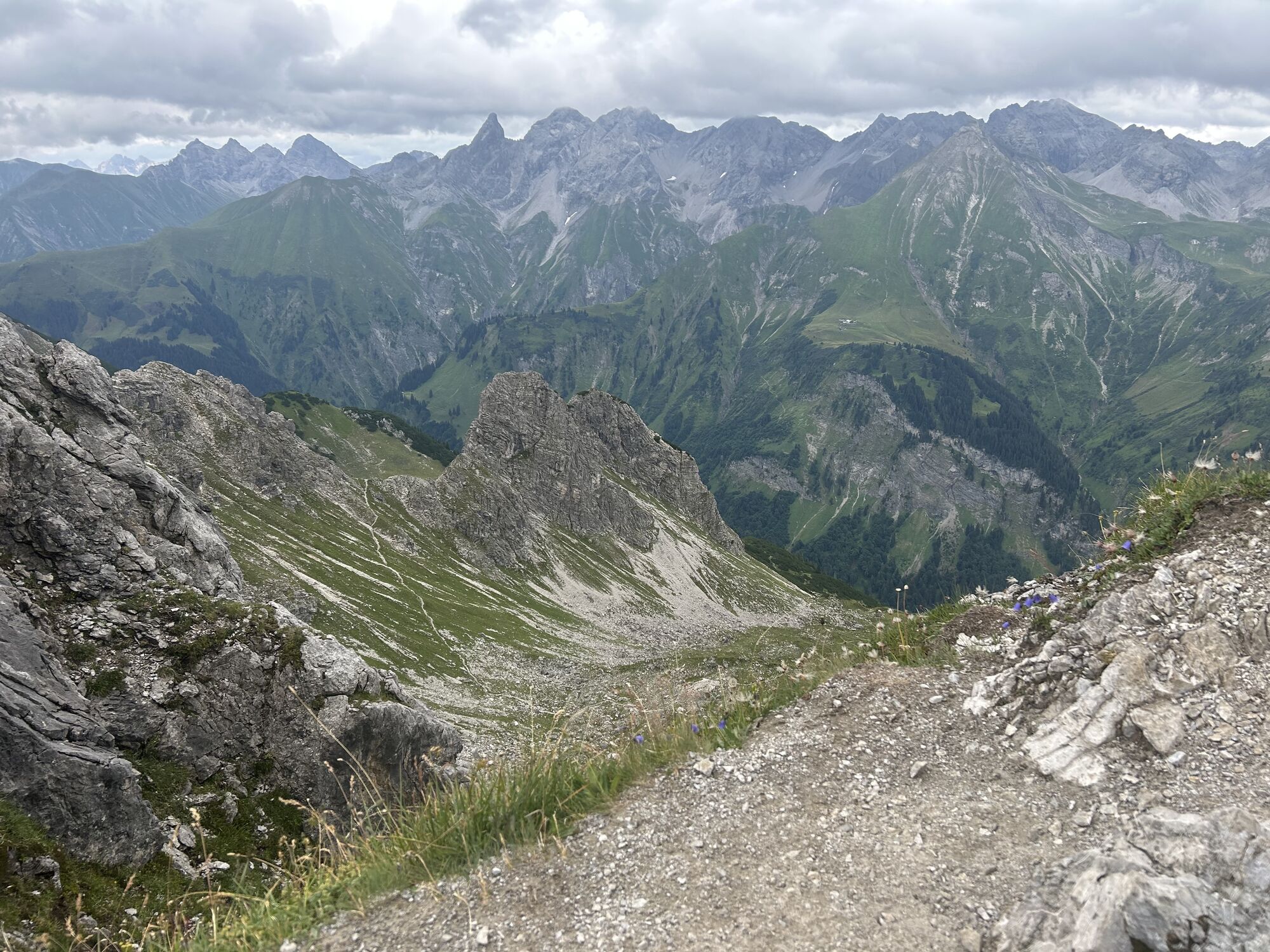
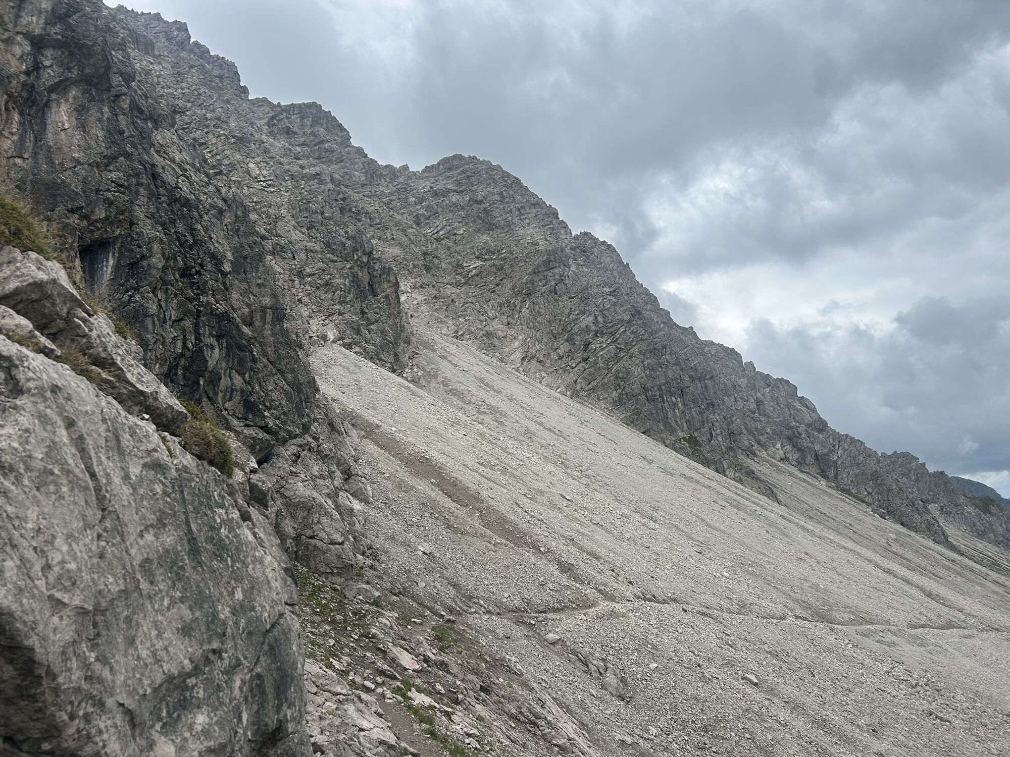
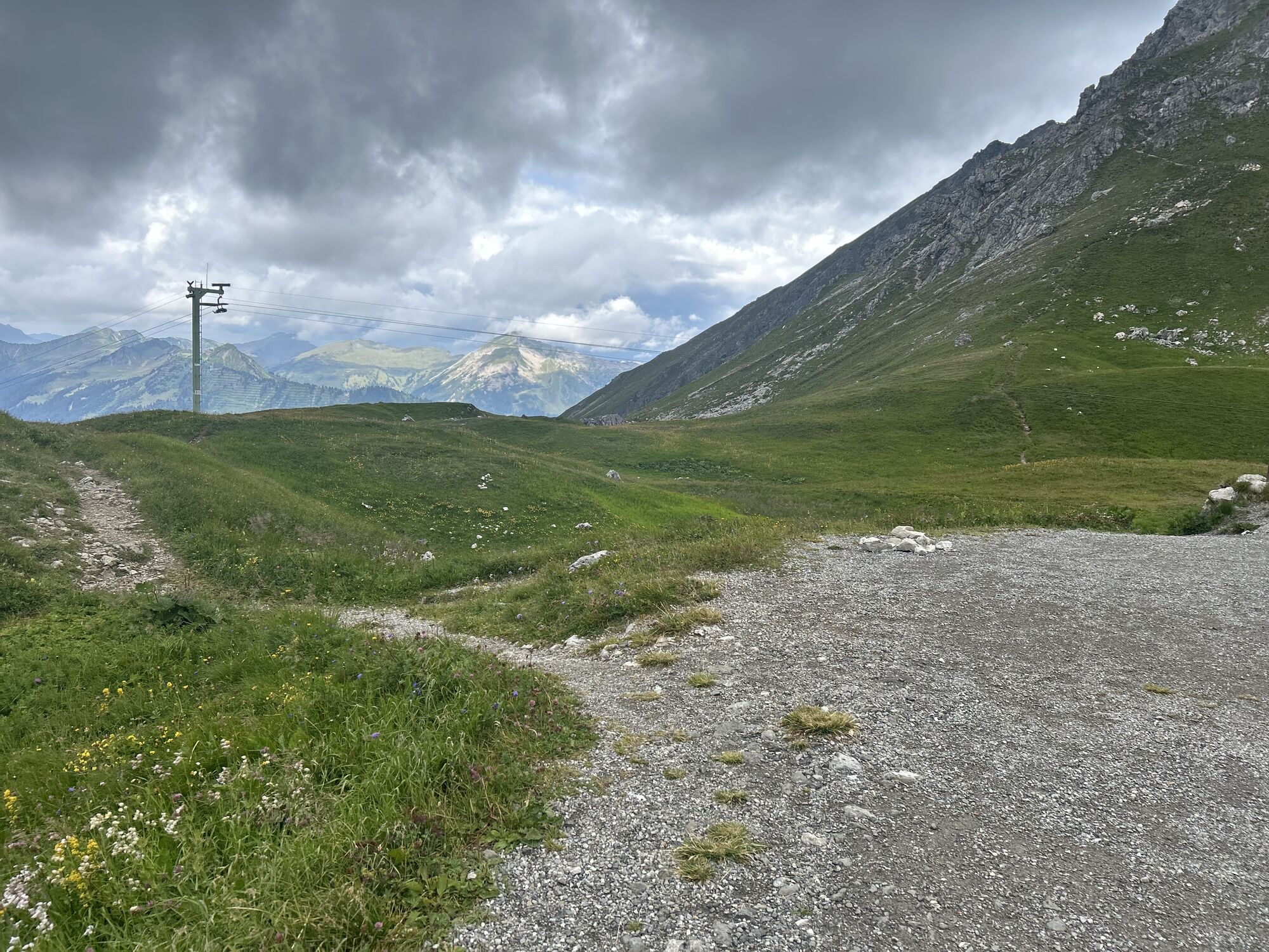
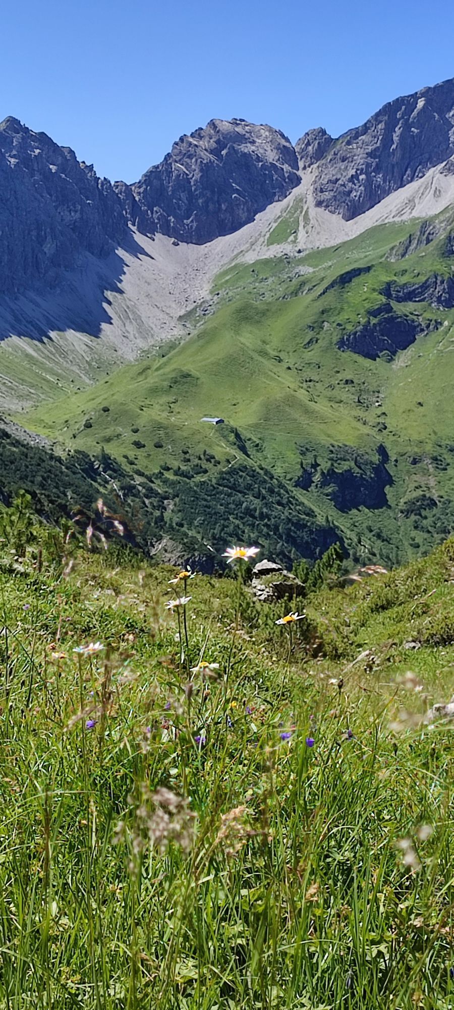
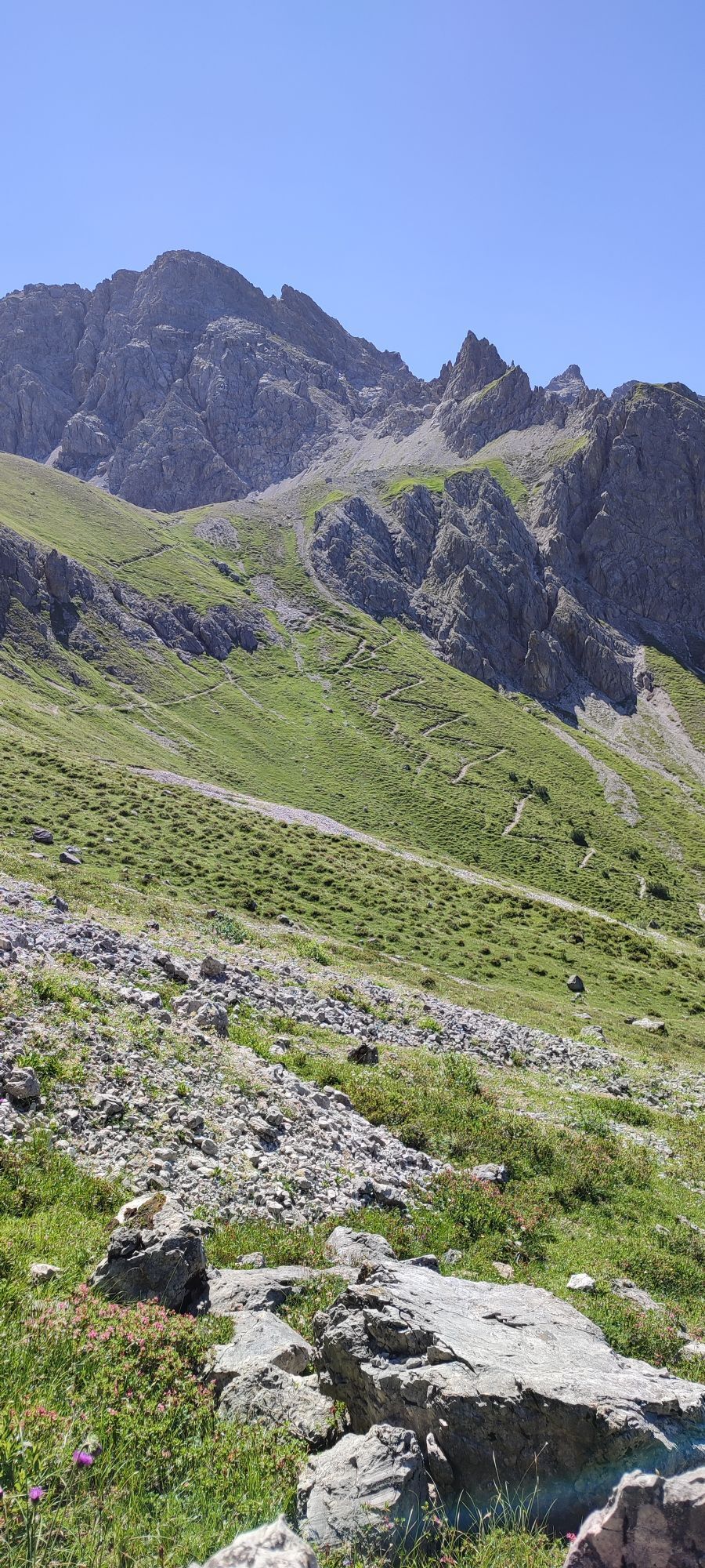
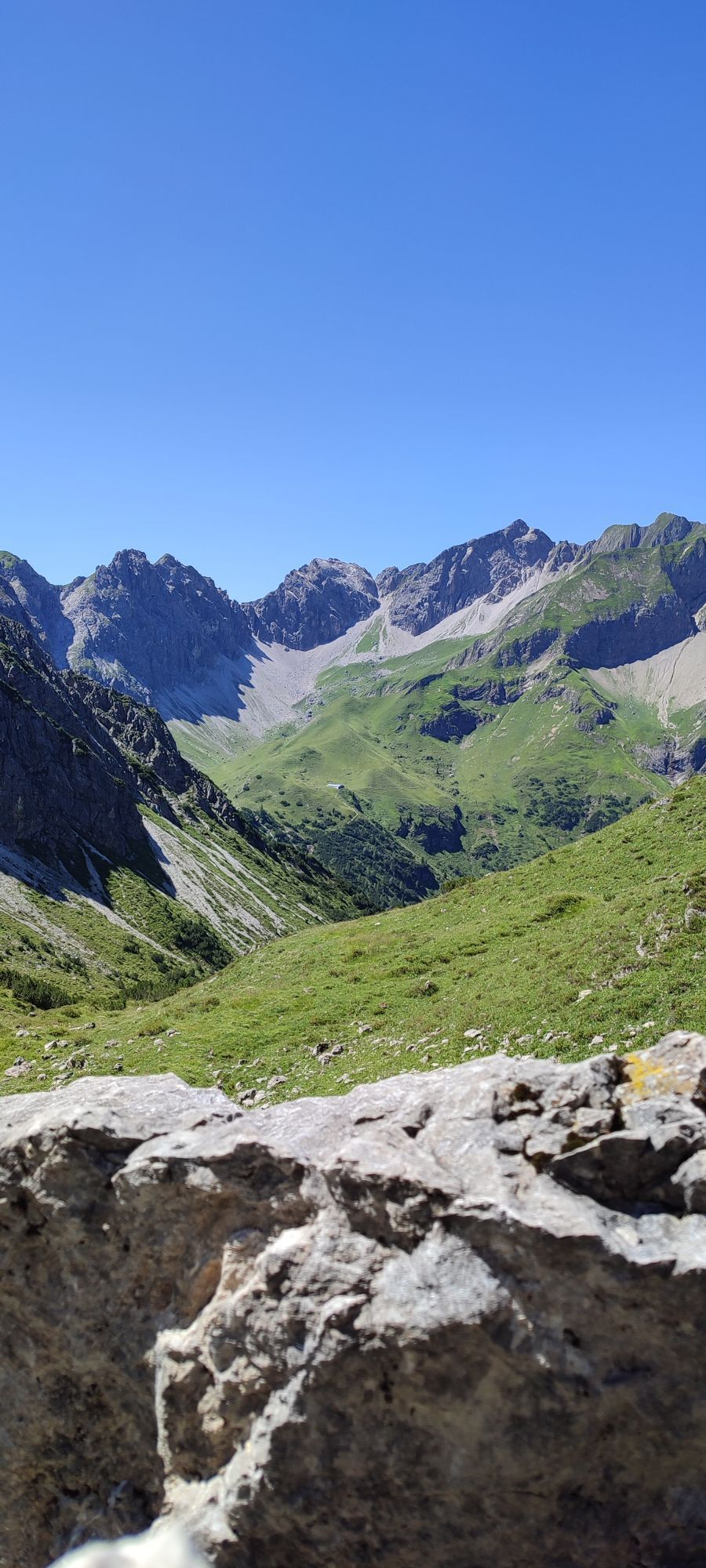
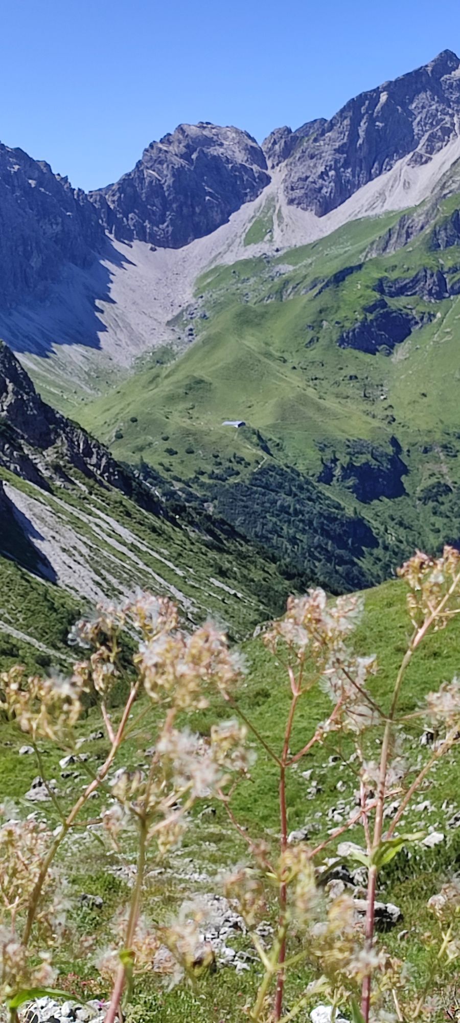
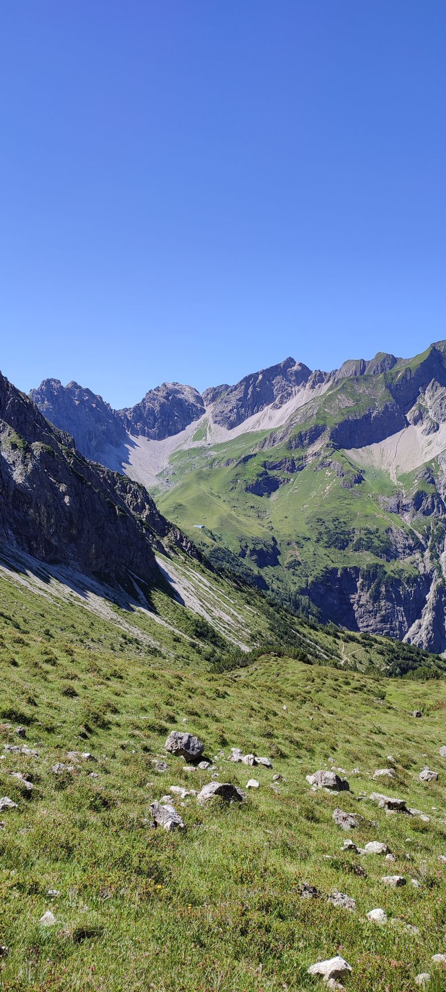
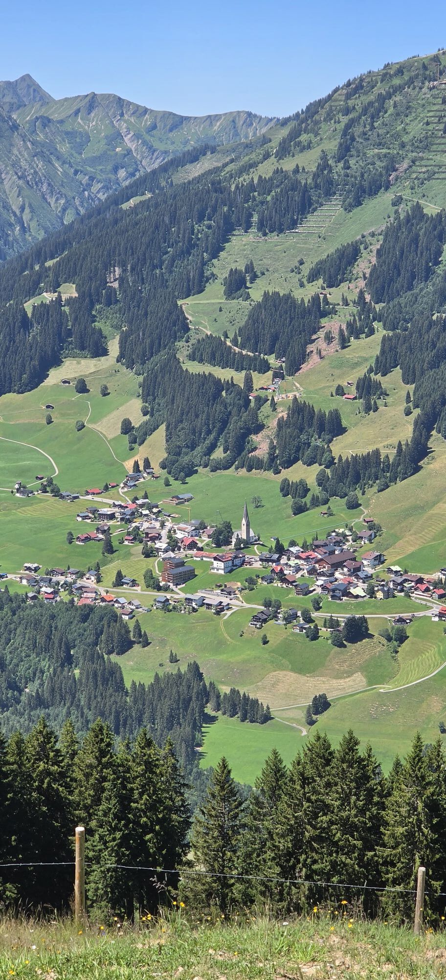
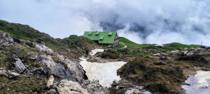
Starting in the mountain village of Baad, the Walser Trail initially leads on a wide path into the Bärgunt Valley, past the Bärgunt Hut. Behind the Bärgunt Hut, the uphill becomes steeper and leads in...
Starting in the mountain village of Baad, the Walser Trail initially leads on a wide path into the Bärgunt Valley, past the Bärgunt Hut. Behind the Bärgunt Hut, the uphill becomes steeper and leads in the lower section over root sections through a forest and in the upper part over a varied mountain trail up to the Hochalp Pass. From there, almost at the elevation at the foot of the great Widderstein to the Widderstein Hut and further over the Gemstelkoblat. Then a short downhill to the Mindelheimer Hut and along the Krumbach High Route, continuing in a sequence of short ascents and descents with views of the Allgäu main ridge. The climb to the Fidere Notch, the highest point of this route, is steep again. From there follows a downhill through a scree field to the Fidere Pass Hut. A long downhill continues past the Wannenalp to the Inner Kuhgehrenalp. From there downhill in switchbacks over the Brandalpe into the Hirschegg district Nebenwasser and with a short, steep final ascent to the Walser House in Hirschegg.
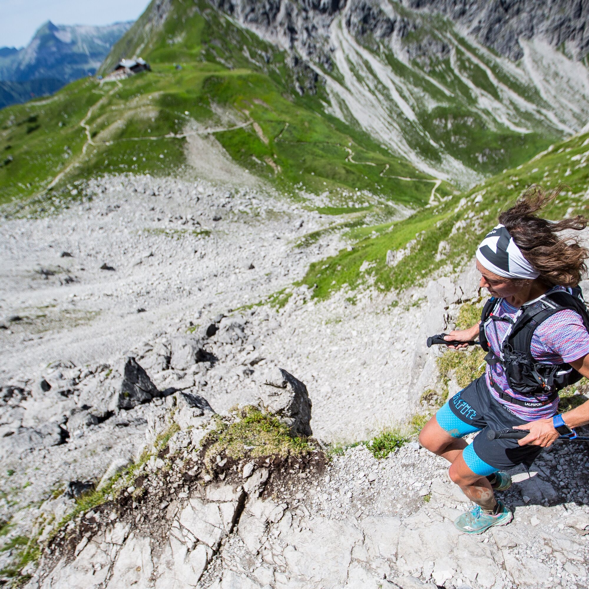
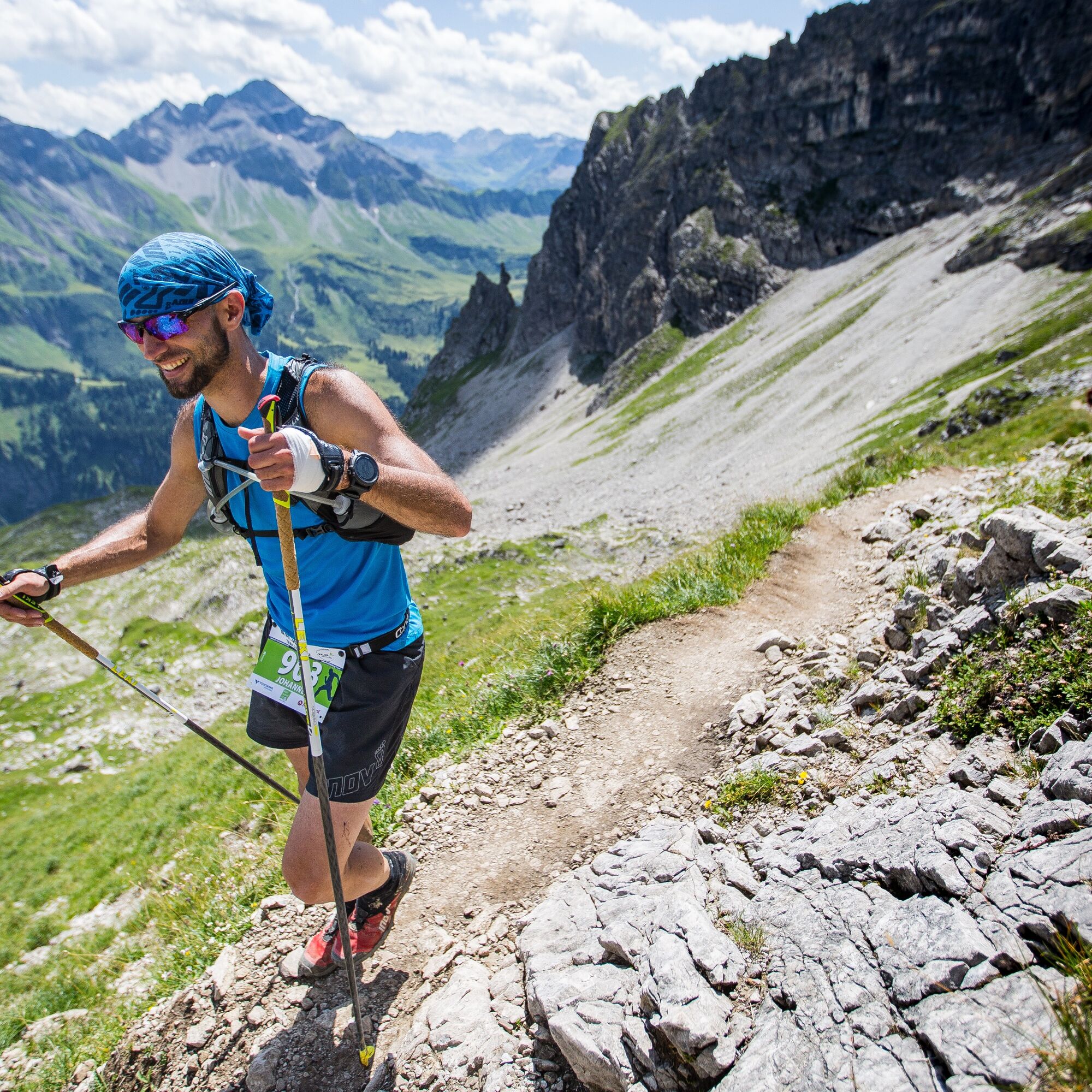

Baad - Bärgunt Valley - Bärgunt Hut - Hochalp Pass - Widderstein Hut - Gemstelkoblat - Mindelheimer Hut - Krumbach High Route - Fidere Notch - Fidere Pass Hut. - Wannenalp - Inner Kuhgehrenalp - Brandalpe - Nebenwasser - Walser House, Hirschegg
Weather-adapted trailrunning equipment including provisions.
The Walser Trail is a technically and physically extremely demanding course. It is recommended only for experienced trail runners with the appropriate equipment and suitable conditions.
EMERGENCY CALL:
144 Alpine emergencies Vorarlberg
112 European emergency call (works with any mobile phone/network)
Most routes from Germany converge in Ulm and continue on the A7. At the Allgäu motorway junction, take the section of the A980 to the Waltenhofen exit and then on the four-lane B19 via Sonthofen and Oberstdorf into the Kleinwalsertal. From Austria (Vorarlberg) and Switzerland, you reach the Kleinwalsertal via the Bregenzerwald (Hittisau) – Riedberg Pass – Fischen – Oberstdorf. Coming from Tyrol, the fastest route leads via the A7 to Kempten and then on the B19 toward Oberstdorf. You do not need a motorway vignette for the drive into the valley.
Starting point of the route: Walserbus line 1, Baad bus stop
Paid parking spaces in Baad
T4
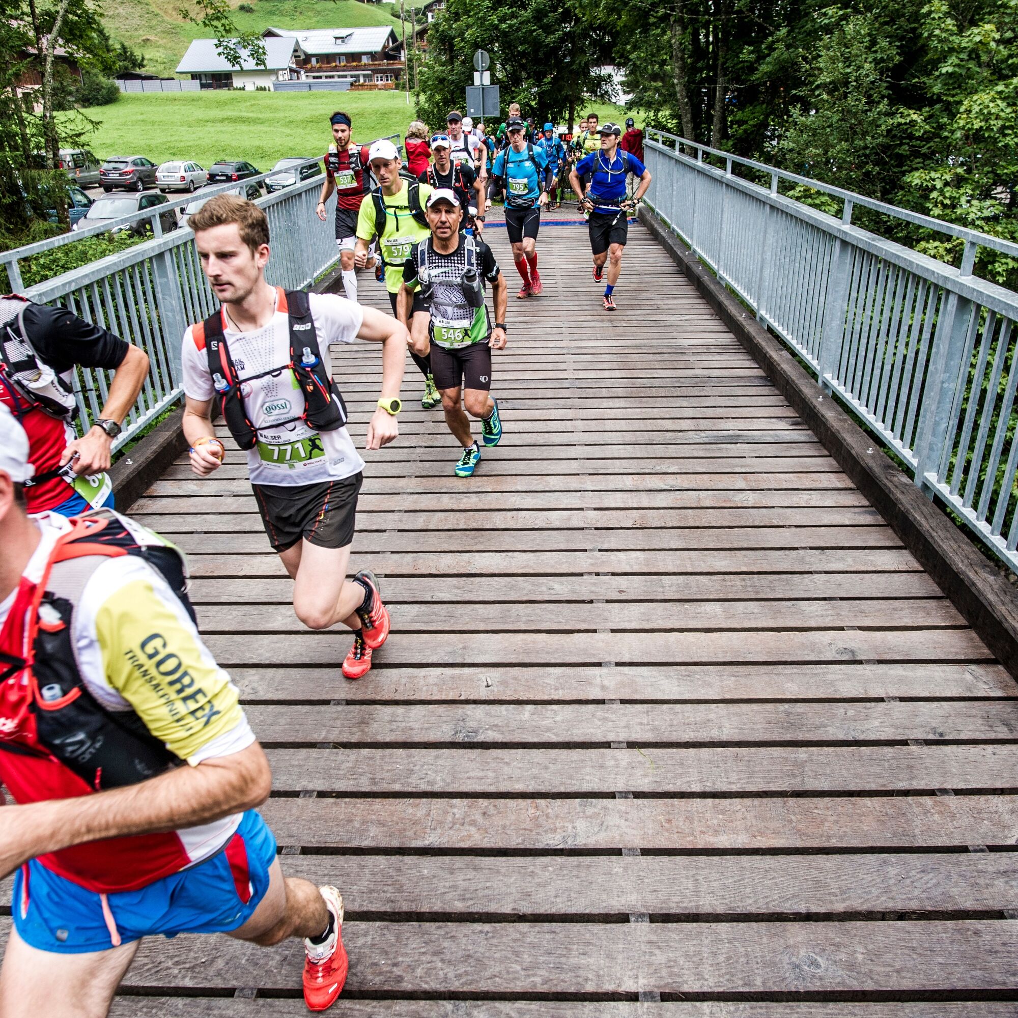
The Walser Trail, at 28 kilometers and 1,700 meters of elevation, is the middle of the three routes at the annual trailrunning event in the Kleinwalsertal. Information about the Walser Trail Challenge at www.trailchallenge.at

Kamery internetowe z trasy
-
Bergstation Kanzelwandbahn Riezlern
-
Fellhornbahn Station Schlappoldsee
-
Fellhornbahn Gipfelstation
-
Warth / Hotel Walserberg
-
Fellhorn/Oberstdorf Kleinwalsertal
-
Hirschegg - Naturhotel Chesa Valisa
-
Zaferna Bergstation
-
Mindelheimer Hütte
-
Wildentalhütte
-
Mittelberg - Naturhotel Lärchenhof
-
Plattform - Schirmbar Riezlern
-
Riezlern Unterwestegg - Gästehaus Almenrausch
-
Riezlern/Schwende - Genuss- & Aktivhotel Sonnenburg
-
Hirschegg - Hotel Walserhof
-
Hirschegg - Hotel Birkenhöhe
-
Hirschegg - Hotel Sonnenberg
-
Mittelberg Bödmen - Hotel Alte Krone
-
Warth-Schröcken - Saloberarena
-
Warth-Schröcken - Saloberjet
-
Schröcken
-
Mittelberg - Haus Walser Berge
-
Möserbahn Berg
-
Möserbahn Berg
-
Möserbahn Berg
-
Möserbahn Berg
-
Kanzelwand / Fellhorn
-
Fellhorn
-
Körbersee
-
Mittelberg - Bergpension Starzelhaus
-
Warth-Schröcken - Widdersteinhütte
-
Mittelberg - Gästehaus Otto Fritz
-
Schröcken - Oberboden
-
Bannholzhof
-
Fellhorn/Oberstdorf Kleinwalsertal
-
Fellhorn/Oberstdorf Kleinwalsertal
-
Fellhorn/Oberstdorf Kleinwalsertal
-
Fellhorn/Oberstdorf Kleinwalsertal
-
Fellhorn/Oberstdorf Kleinwalsertal
-
Fellhorn/Oberstdorf Kleinwalsertal
-
Bannholzhof

Aktywności na trasie

Popularne wycieczki w okolicy
-
4,9
Gerstruben - zum historischen Bergbauerndorf
średniWędrówka 12,8 km -
4,9
Holzgau zur Rossgumpenalm
średniWędrówka 4,09 km -
4,6
Mountain tour over the Fellhorn ridge
średniWędrówka 8,24 km -
4,1
2-Länder-Panorama-Rundwanderweg Fellhorn/Kanzelwand
światłoWędrówka 6,70 km -
4,8
Circular hike through the Gemsteltal
światłoWędrówka 5,53 km -
4,5
Circular hike through the Derratal
średniWędrówka 8,11 km -
4,7
Widderstein Runde von Baad
średniWędrówka 15,8 km -
4,7
E5 - 1. Etappe: Oberstdorf - Kemptner Hütte
światłodługodystansowy szlak pieszy 7,80 km -
4,3
Circular hike through the Bärgunttal
średniWędrówka 4,75 km -
4,1
Winter circular hike through the Breitachklamm gorge
średniWędrówka zimą 5,66 km
Wędrówki i tropienie


Nie przegap ofert i inspiracji na następne wakacje
Twój adres e-mail została dodana do listy mailingowej.





