


Ski tour from Schwendle to the Ochsenloch
Poziom trudności: AD
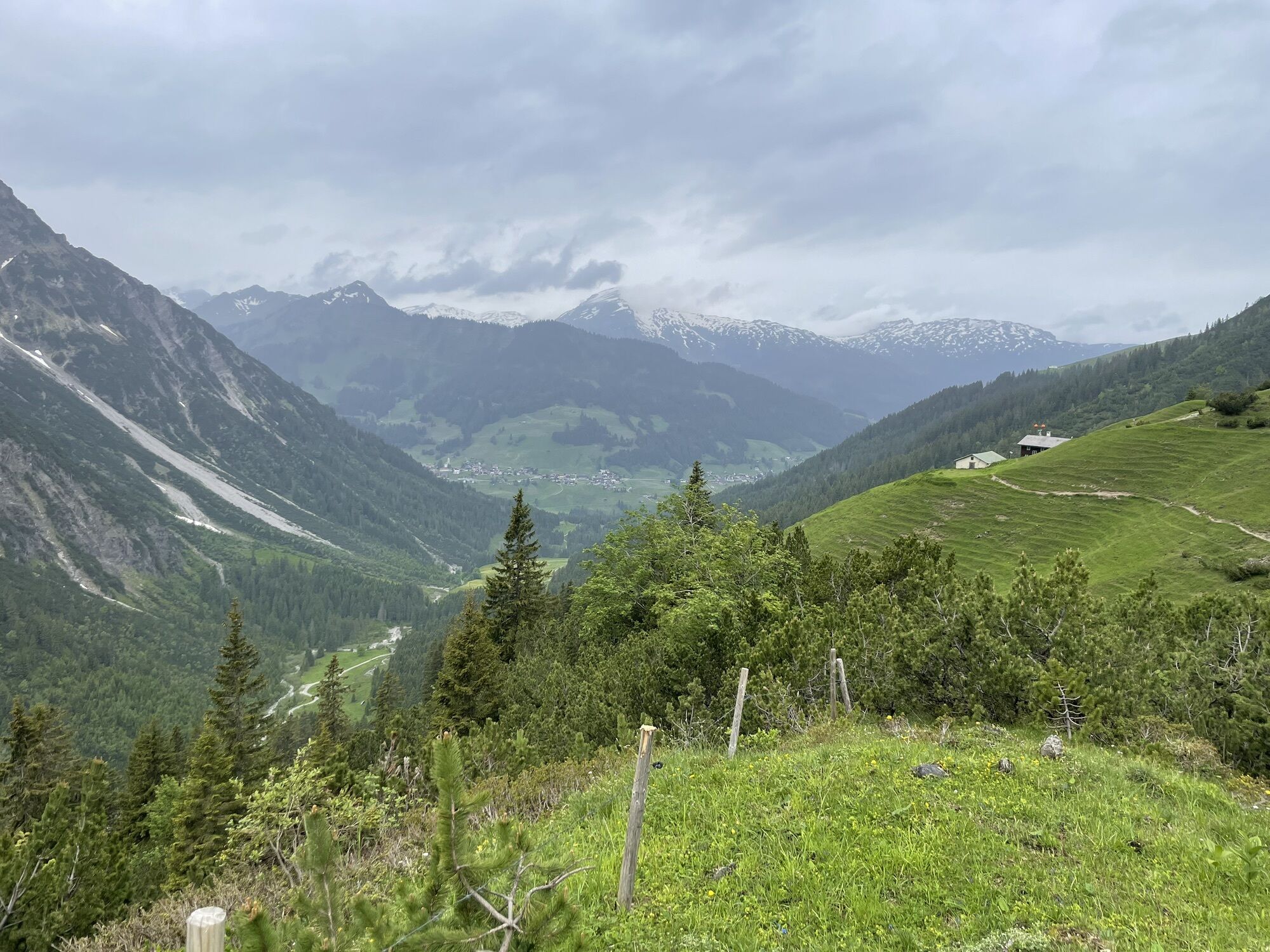
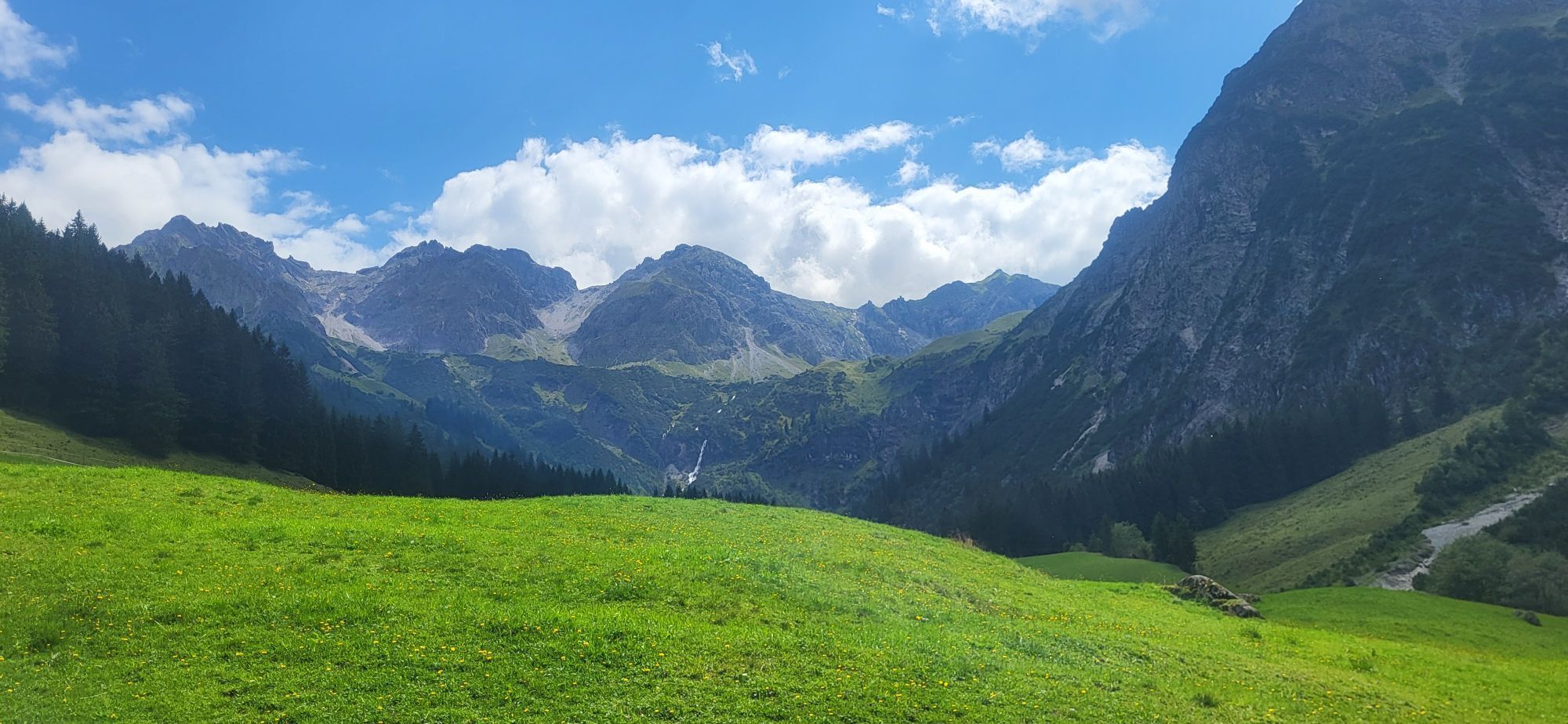
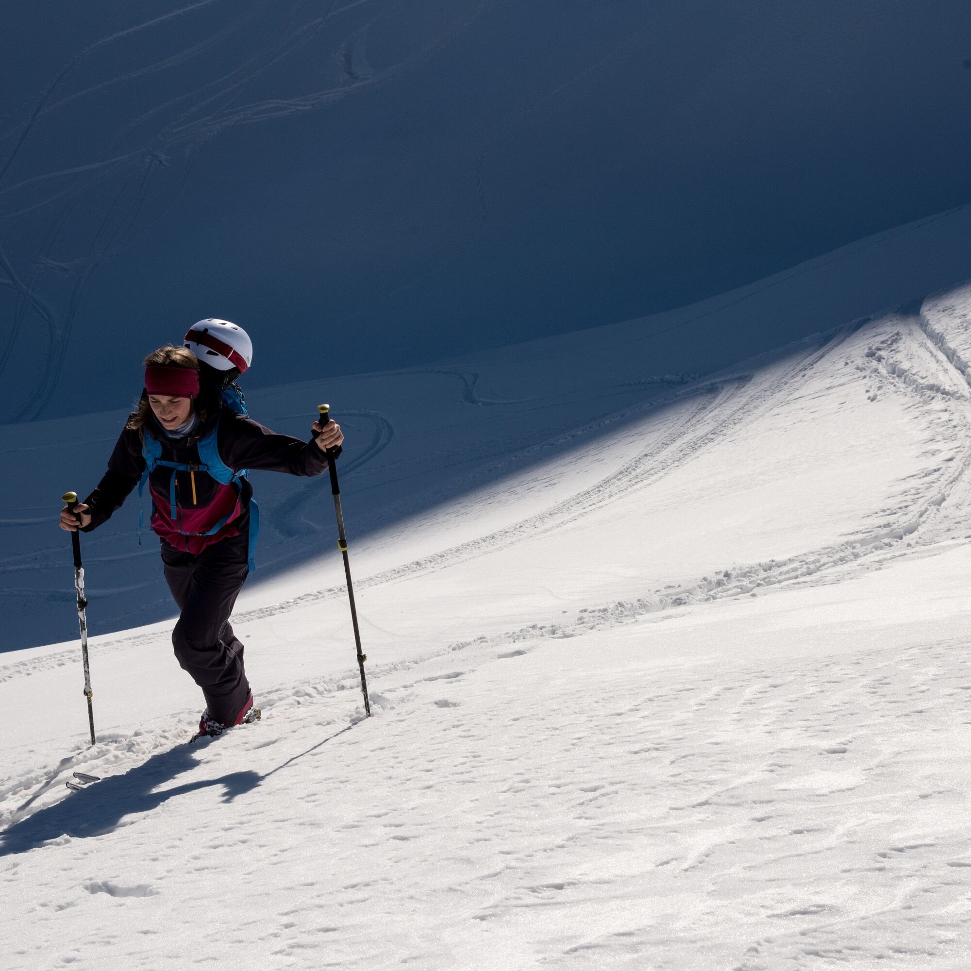
Everything you wish for in a ski tour: With almost 1000 meters of altitude gain, the ascent is athletic and challenges your fitness. Far from ski operations, you immerse yourself in the tranquility of...
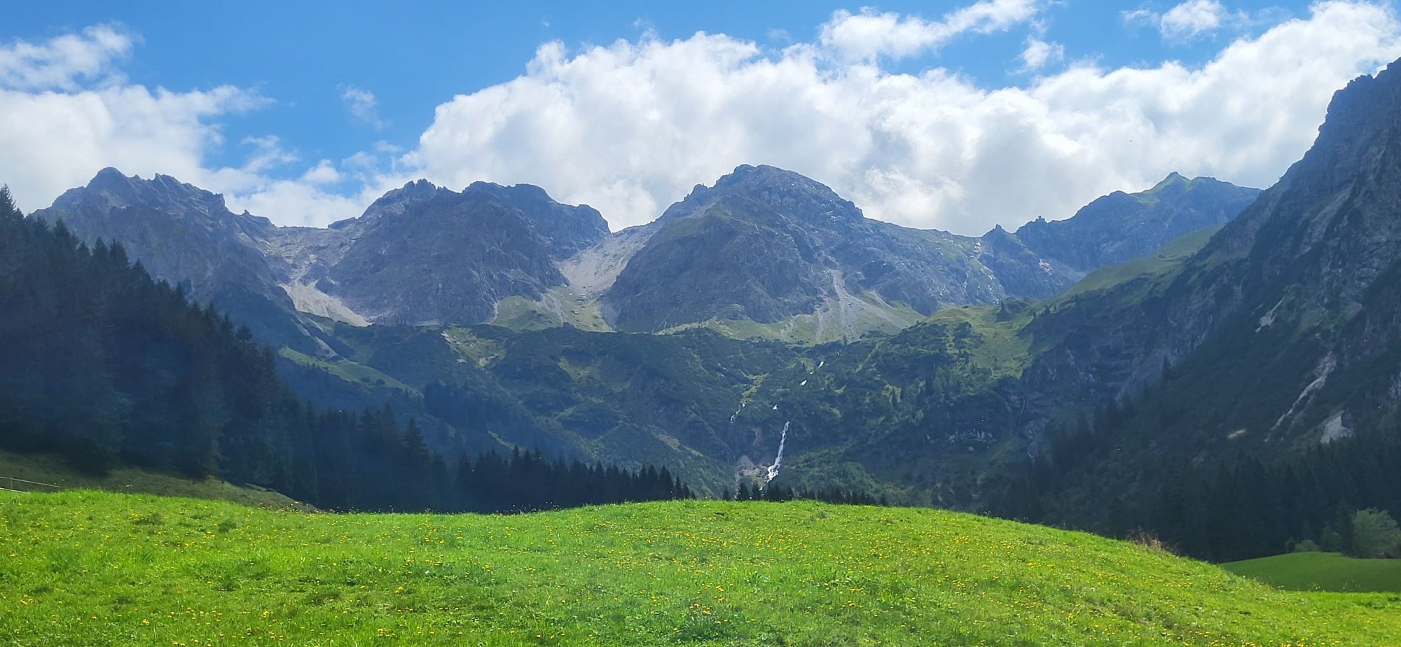
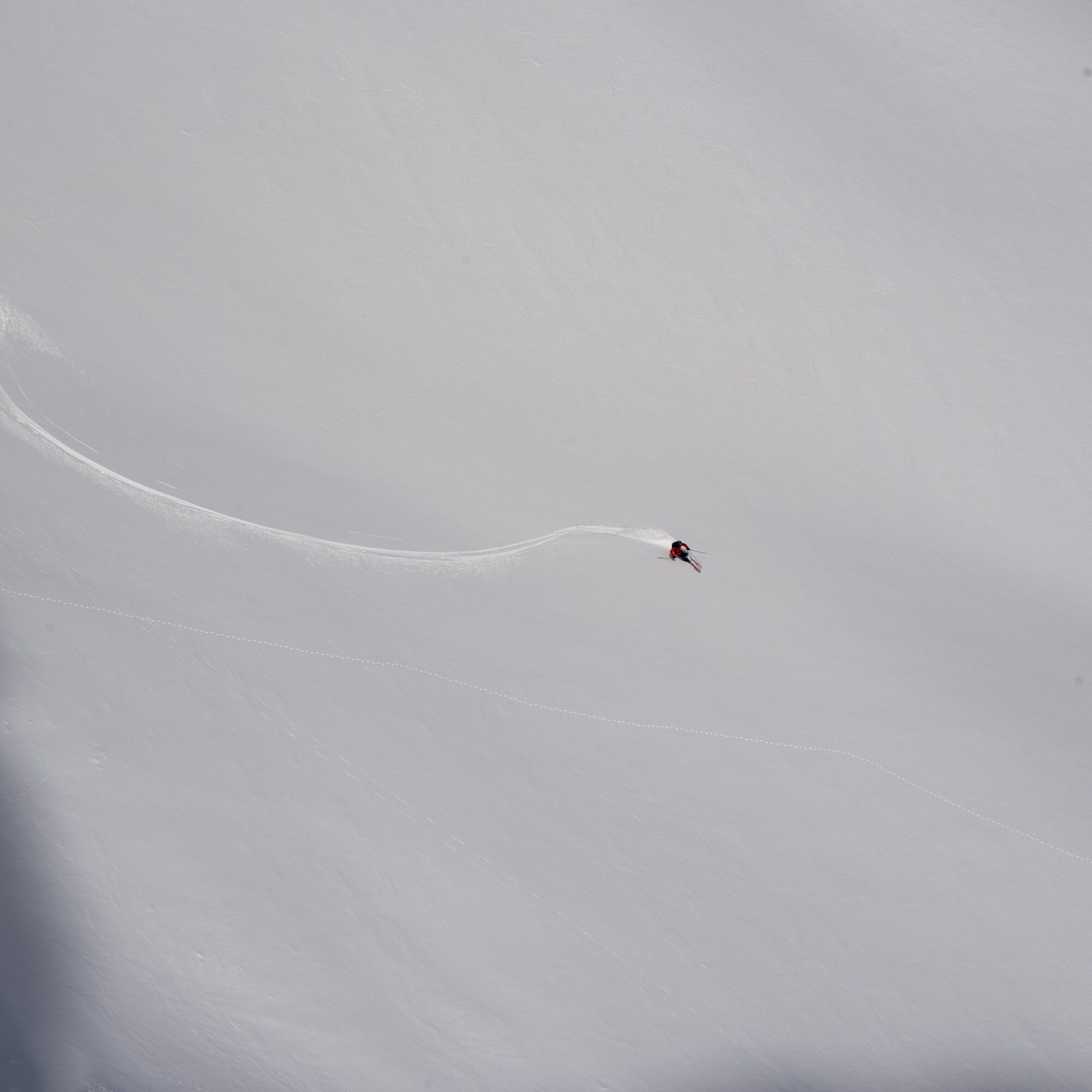
Everything you wish for in a ski tour: With almost 1000 meters of altitude gain, the ascent is athletic and challenges your fitness. Far from ski operations, you immerse yourself in the tranquility of winter. Once there, a wonderful view into Kleinwalsertal to the Heuberggrat & Hohen Ifen awaits you. And finally, you are rewarded with a great descent.
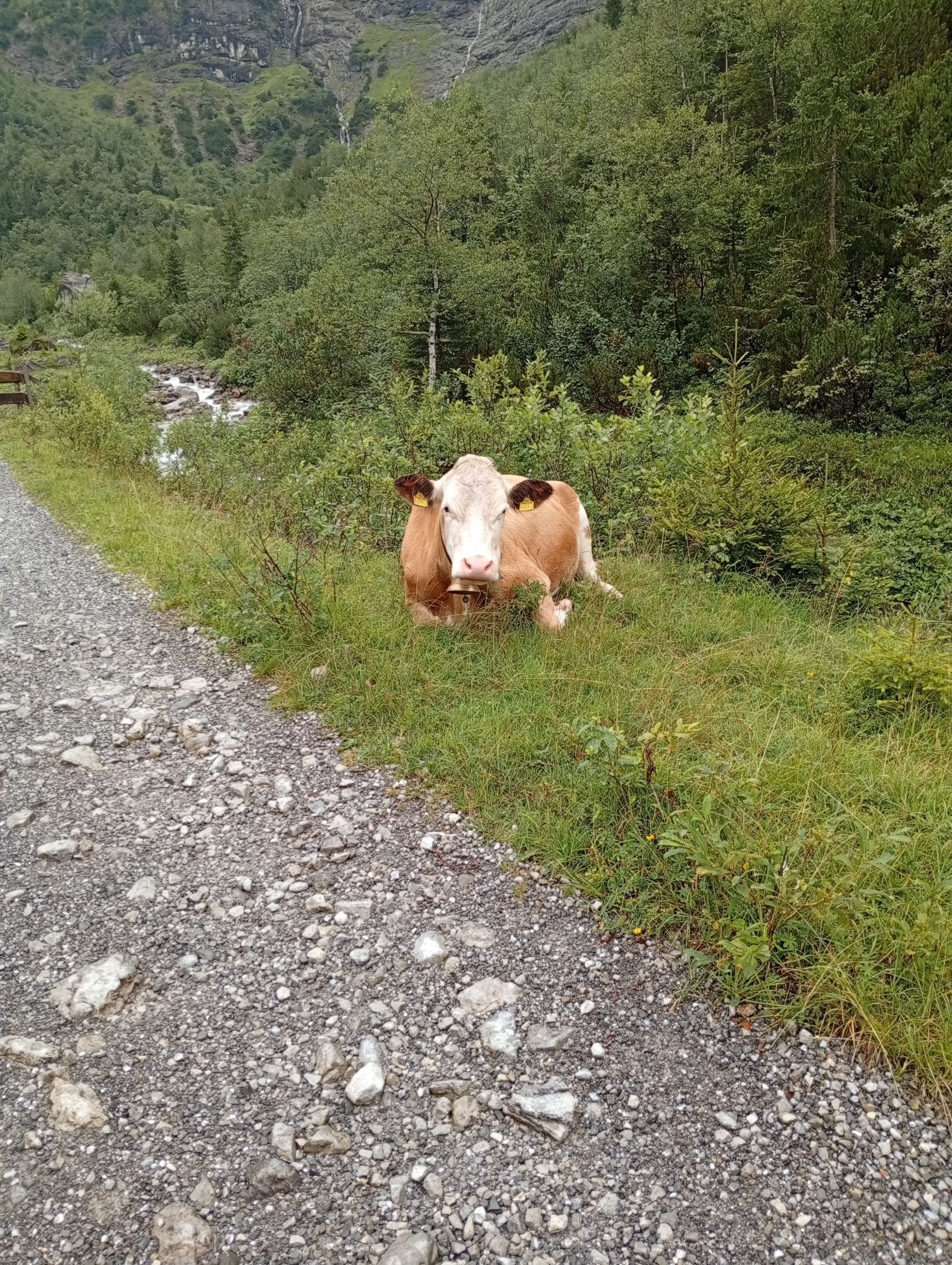
The Wildental is also popular with winter hikers in winter. Especially on the first section up to just before the Inner Wiesalpe, a bit more consideration for other winter sports enthusiasts is asked for during ascent and descent. Then there is enough space and enjoyment of nature for everyone.
Experience nature consciously stands for respectful coexistence among winter sports enthusiasts and towards nature. The described route takes into account the designated wildlife refuges and forest-wildlife protected areas in Wildental.

Ascent
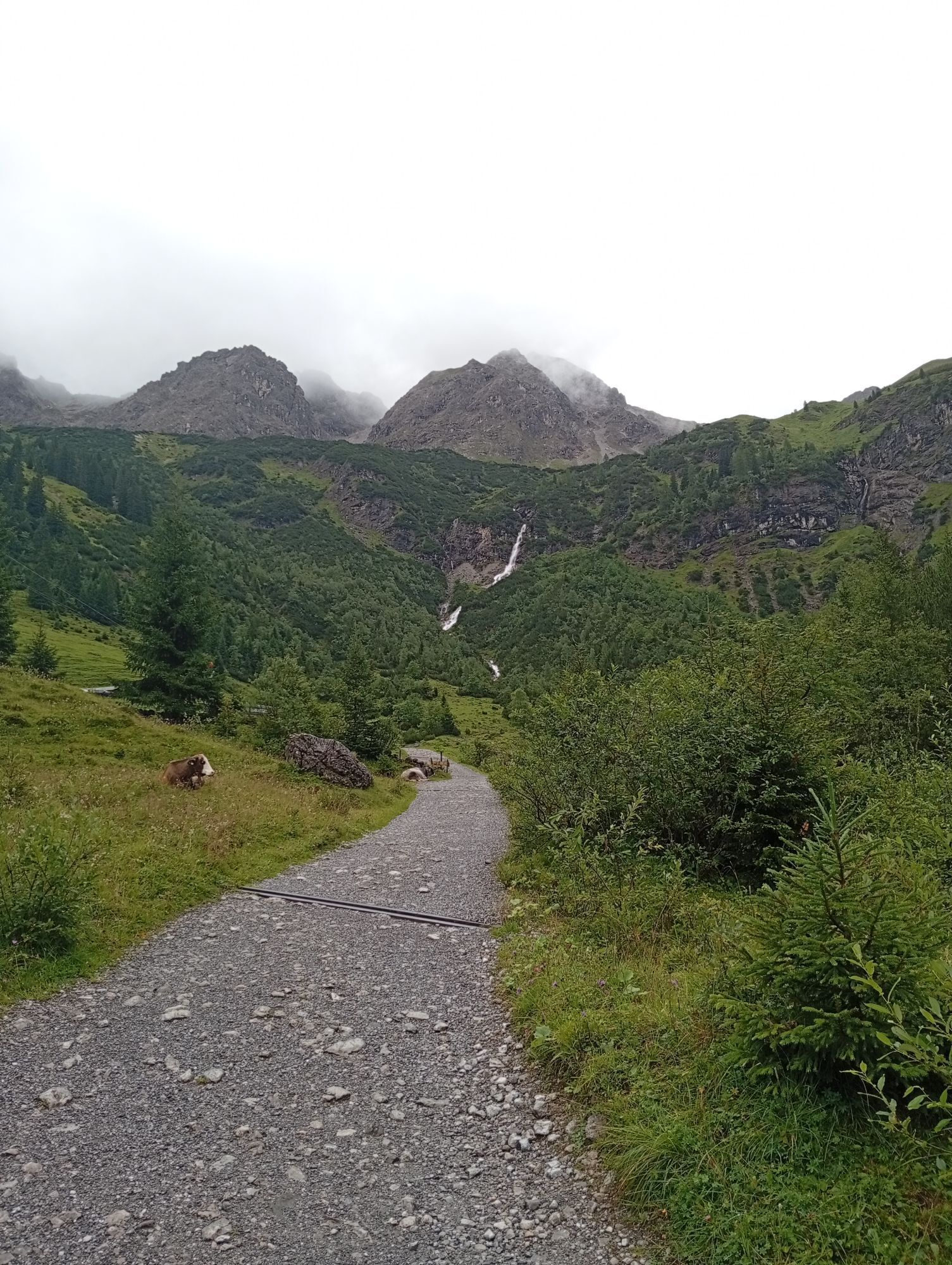
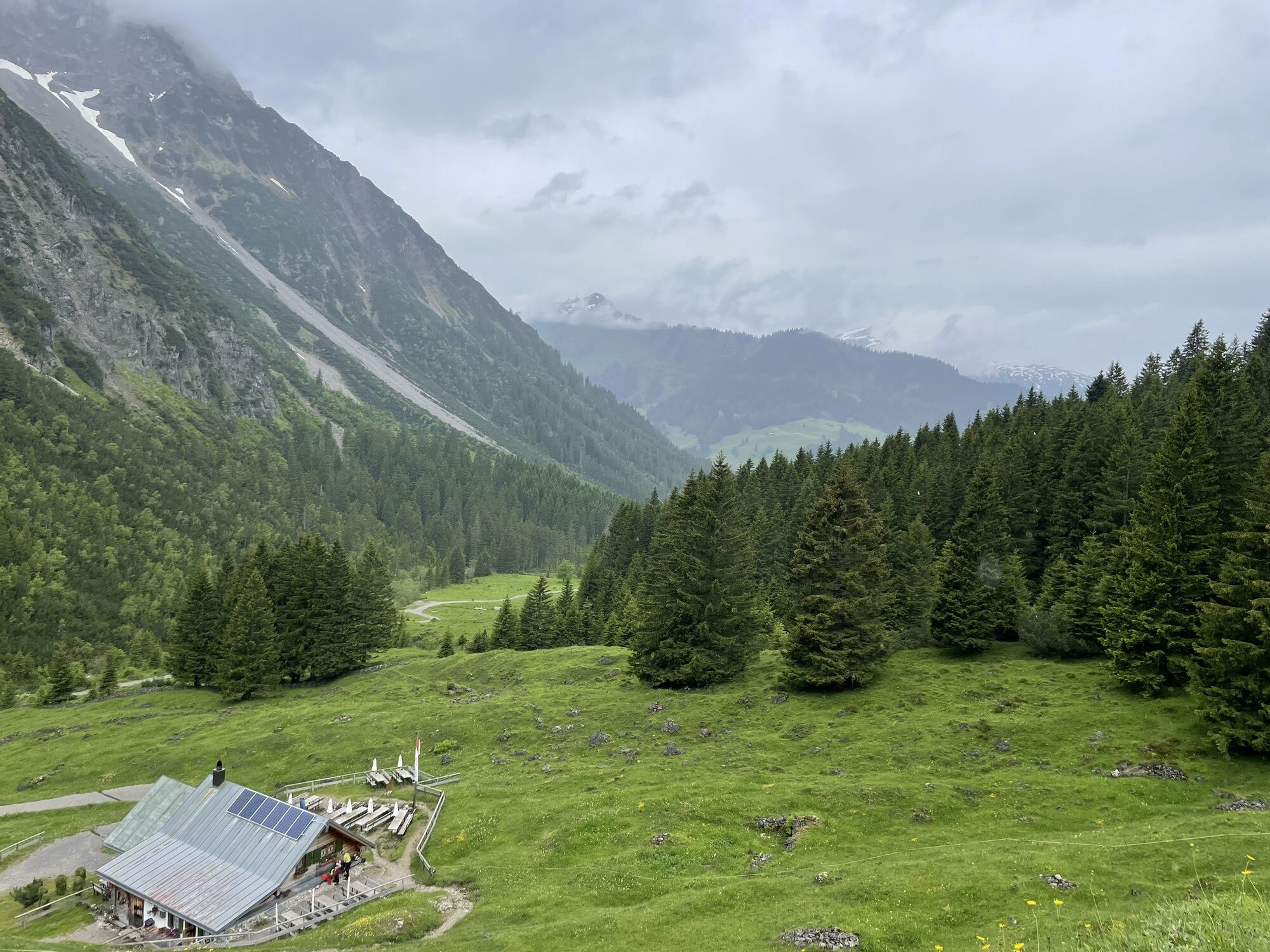
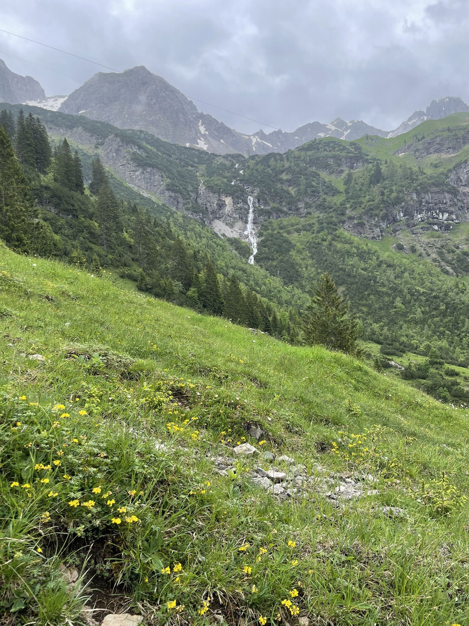
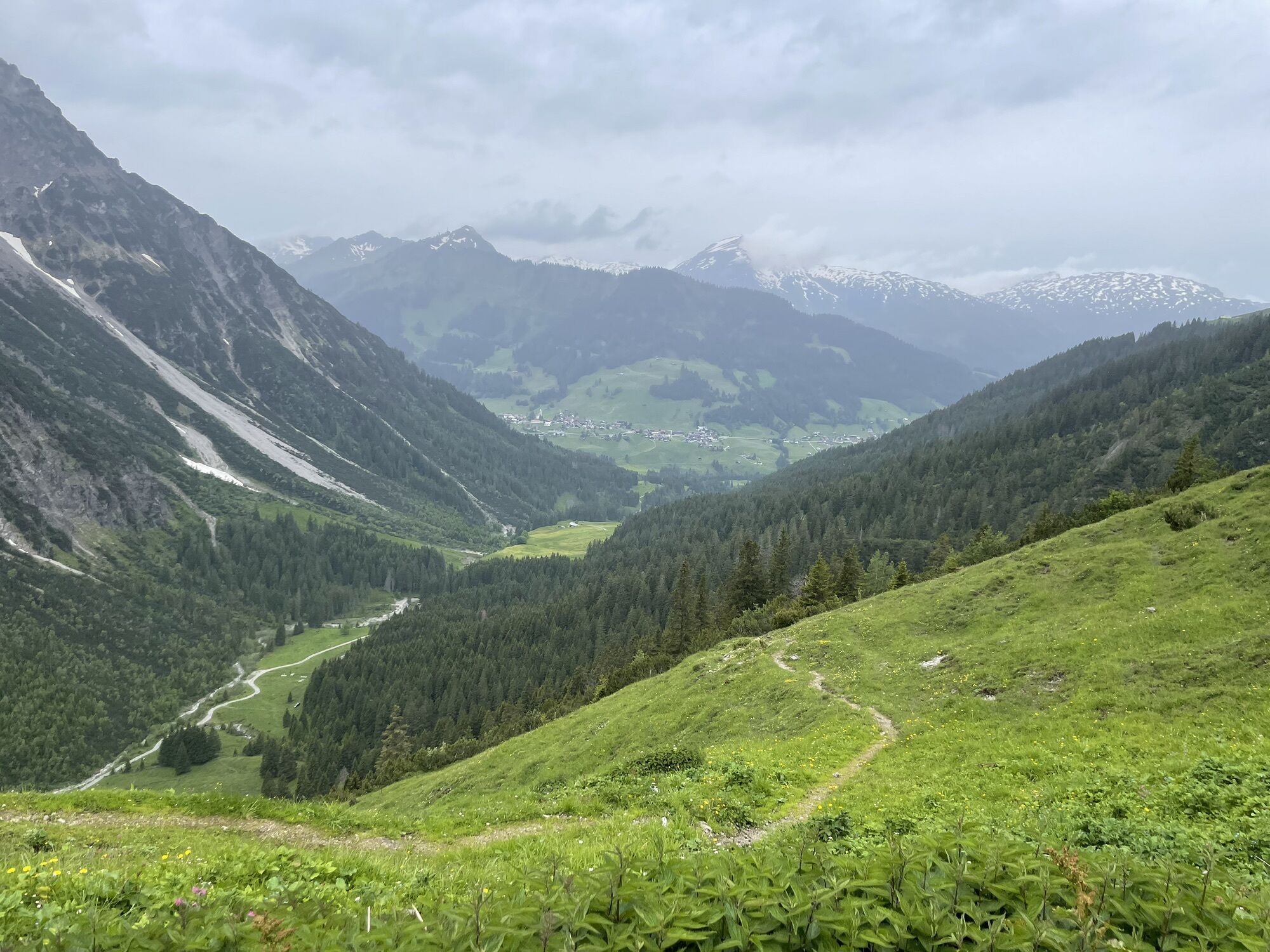
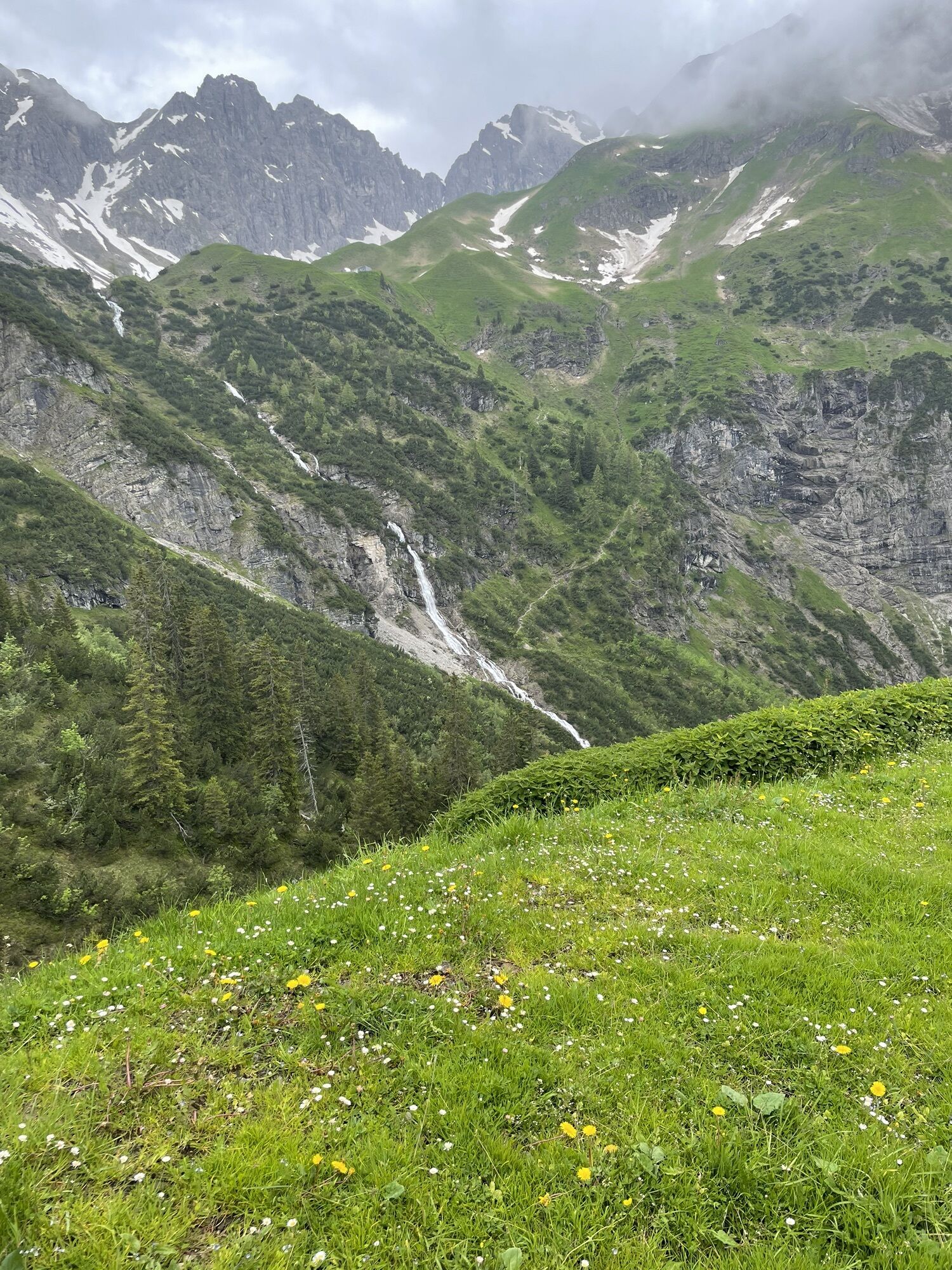
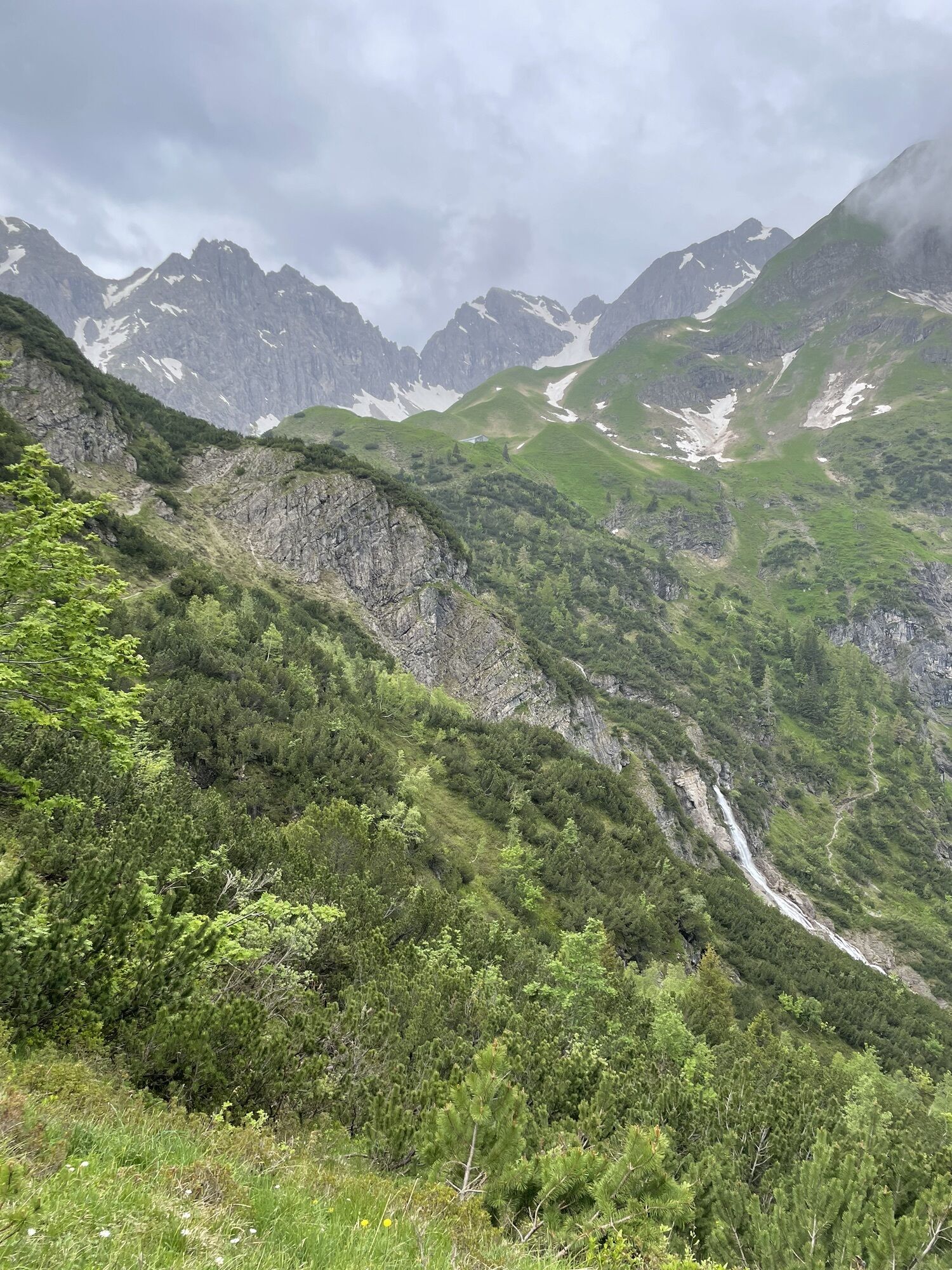
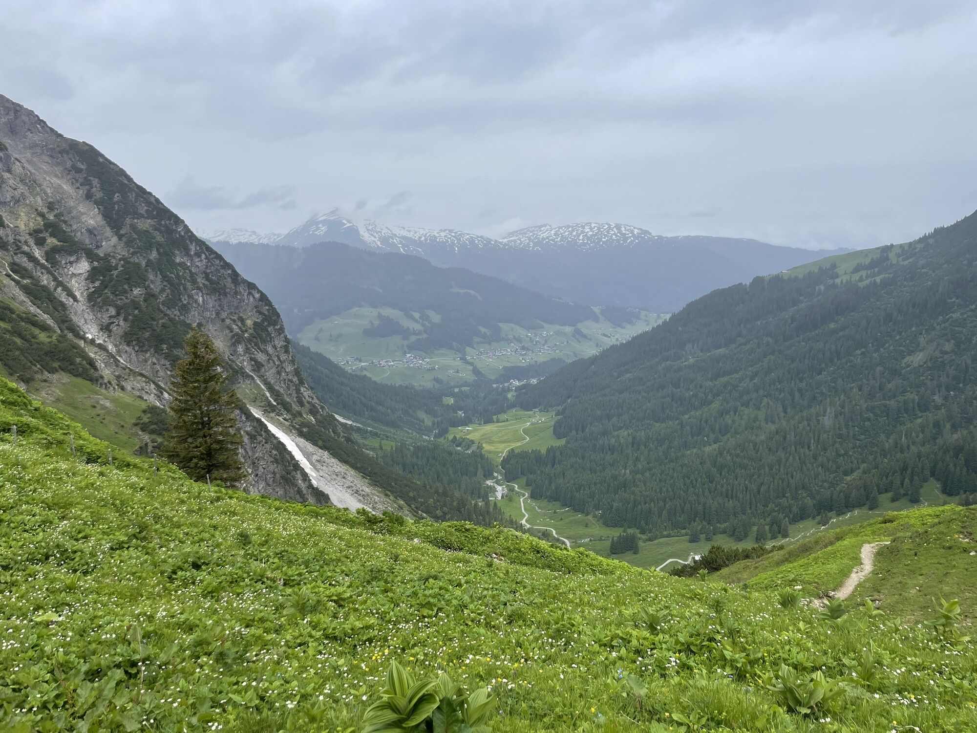
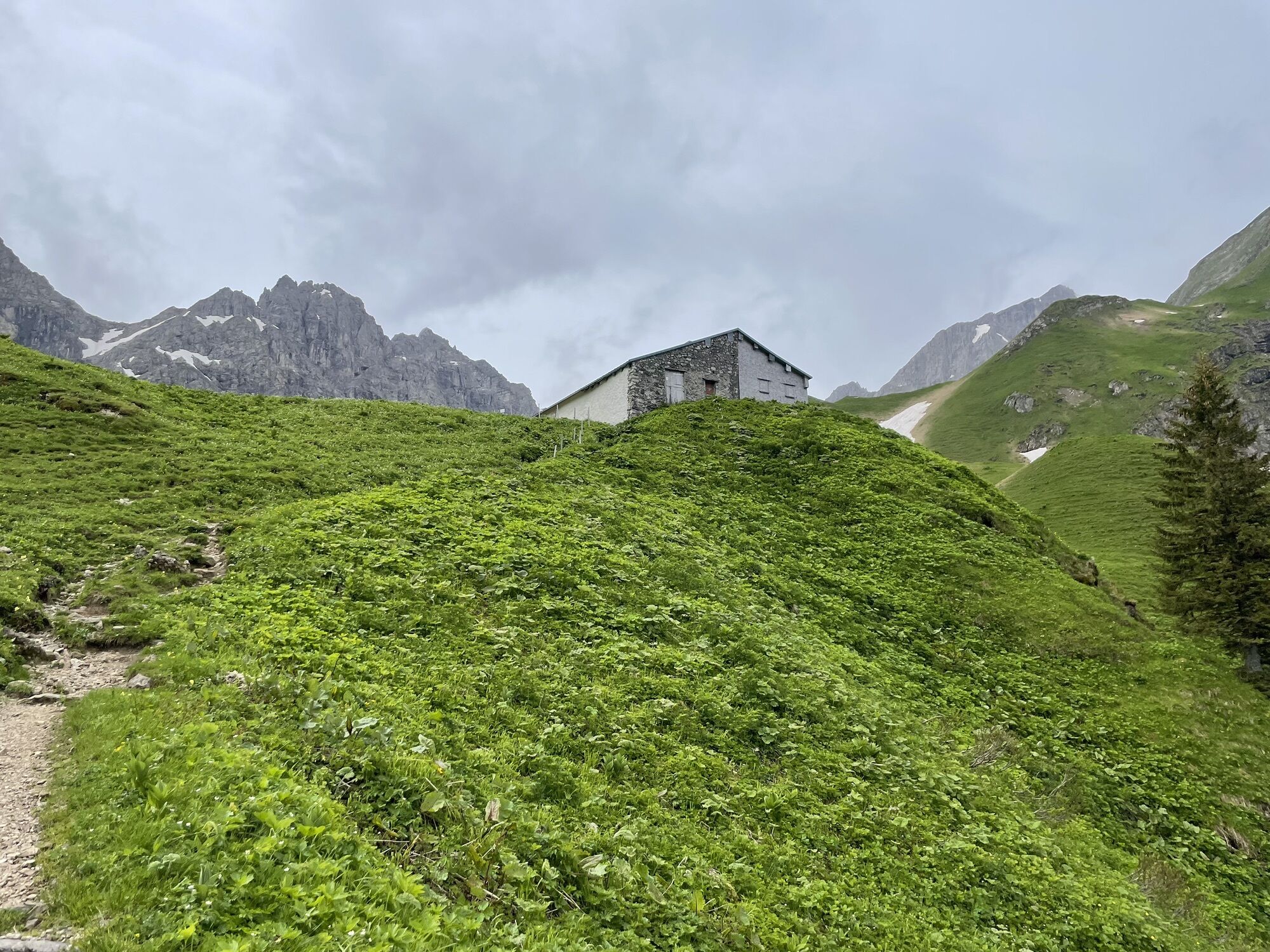
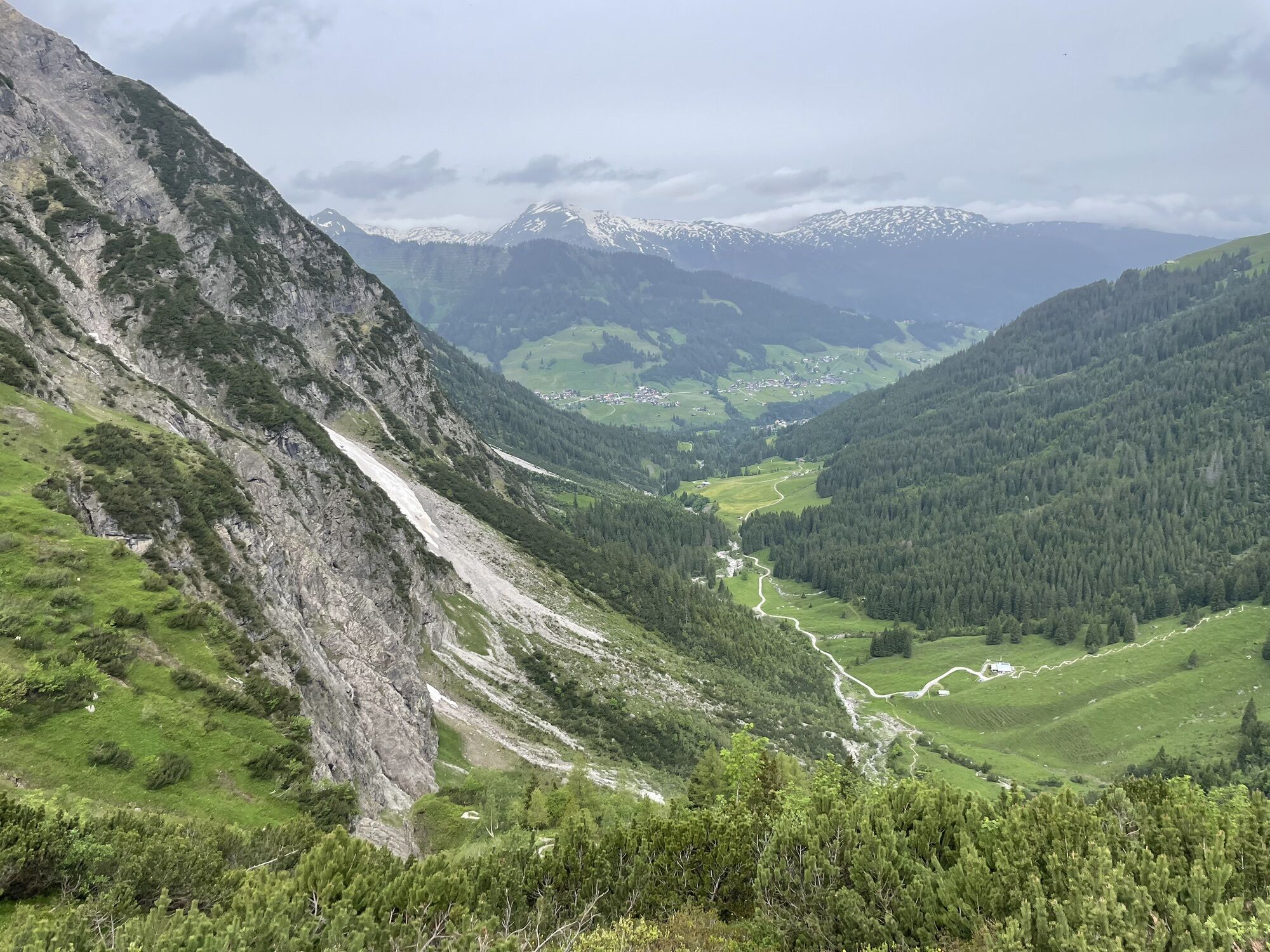
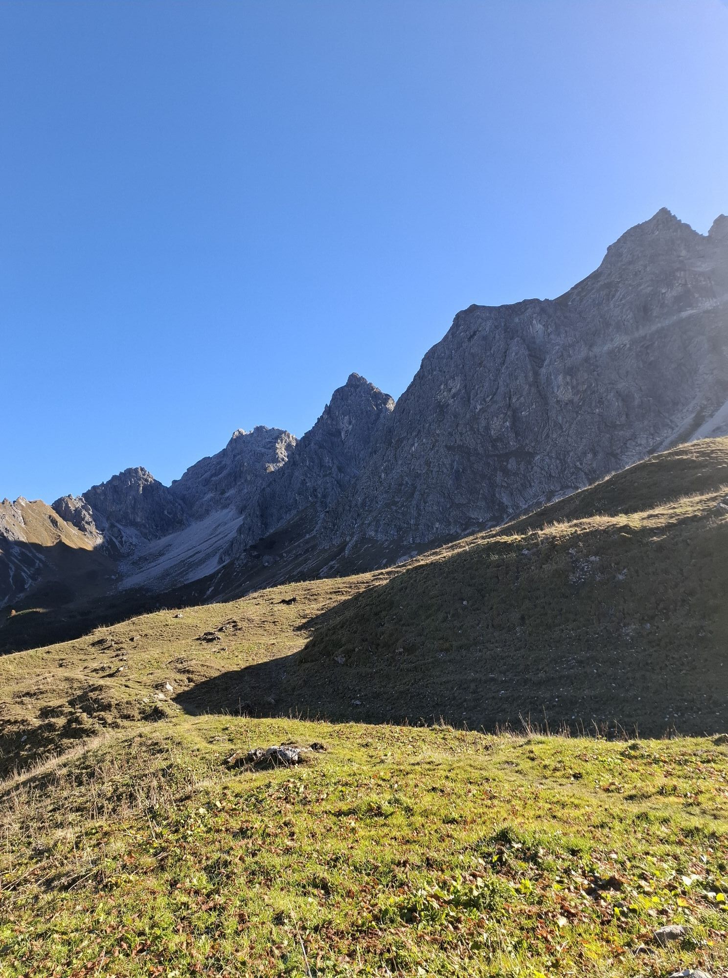
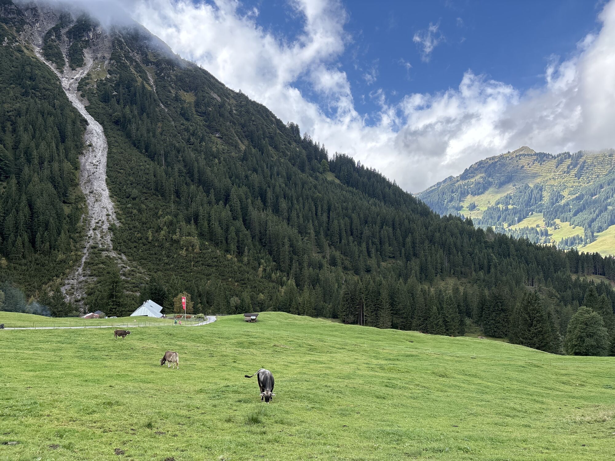
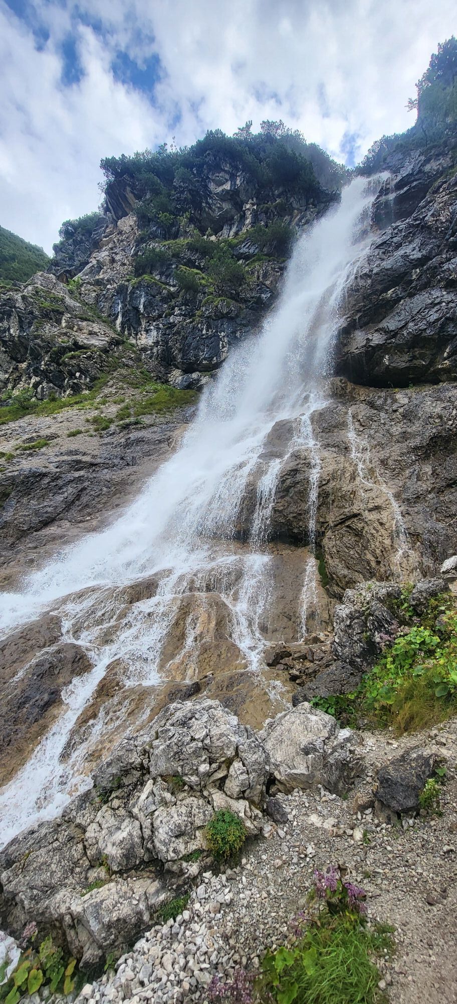
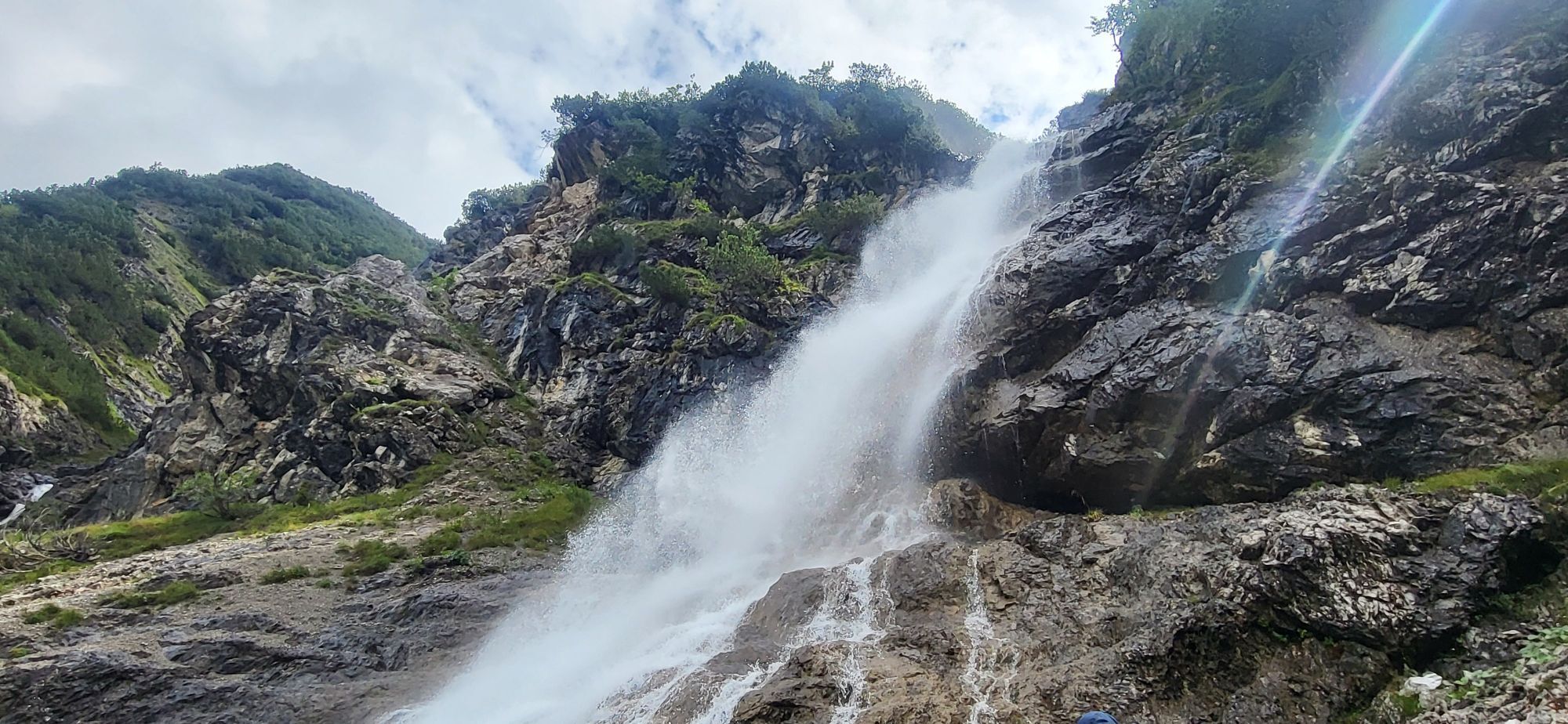
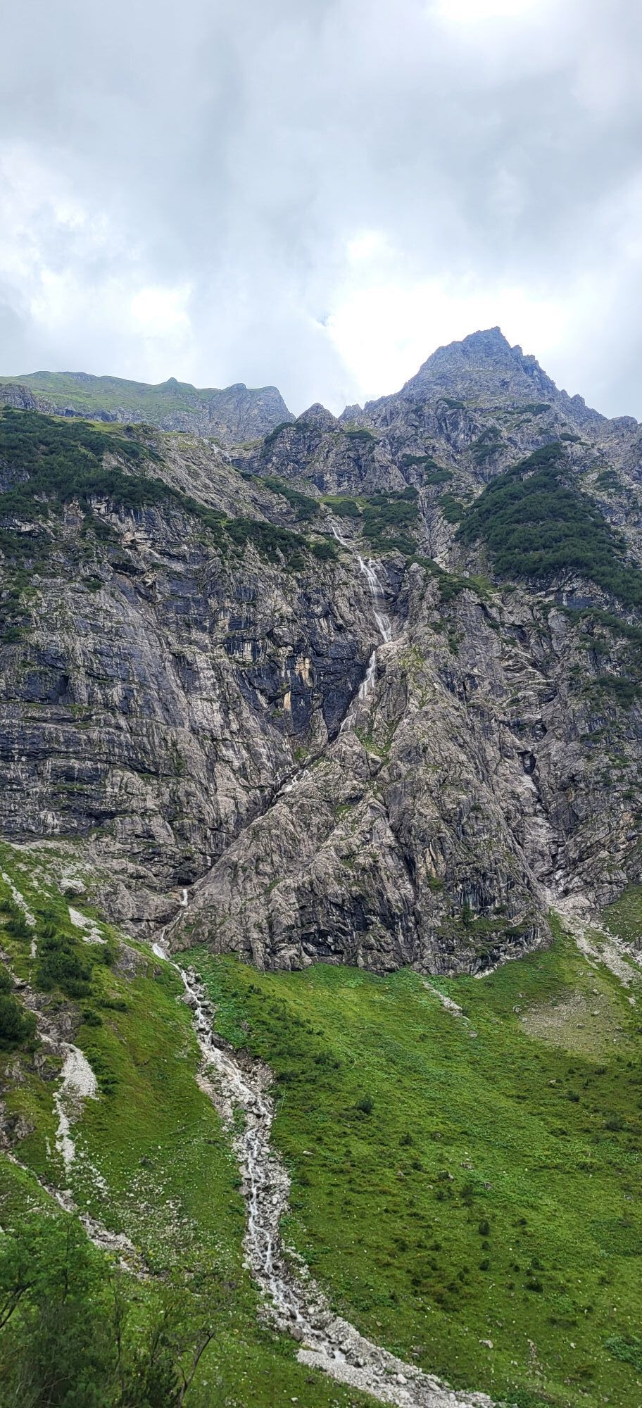
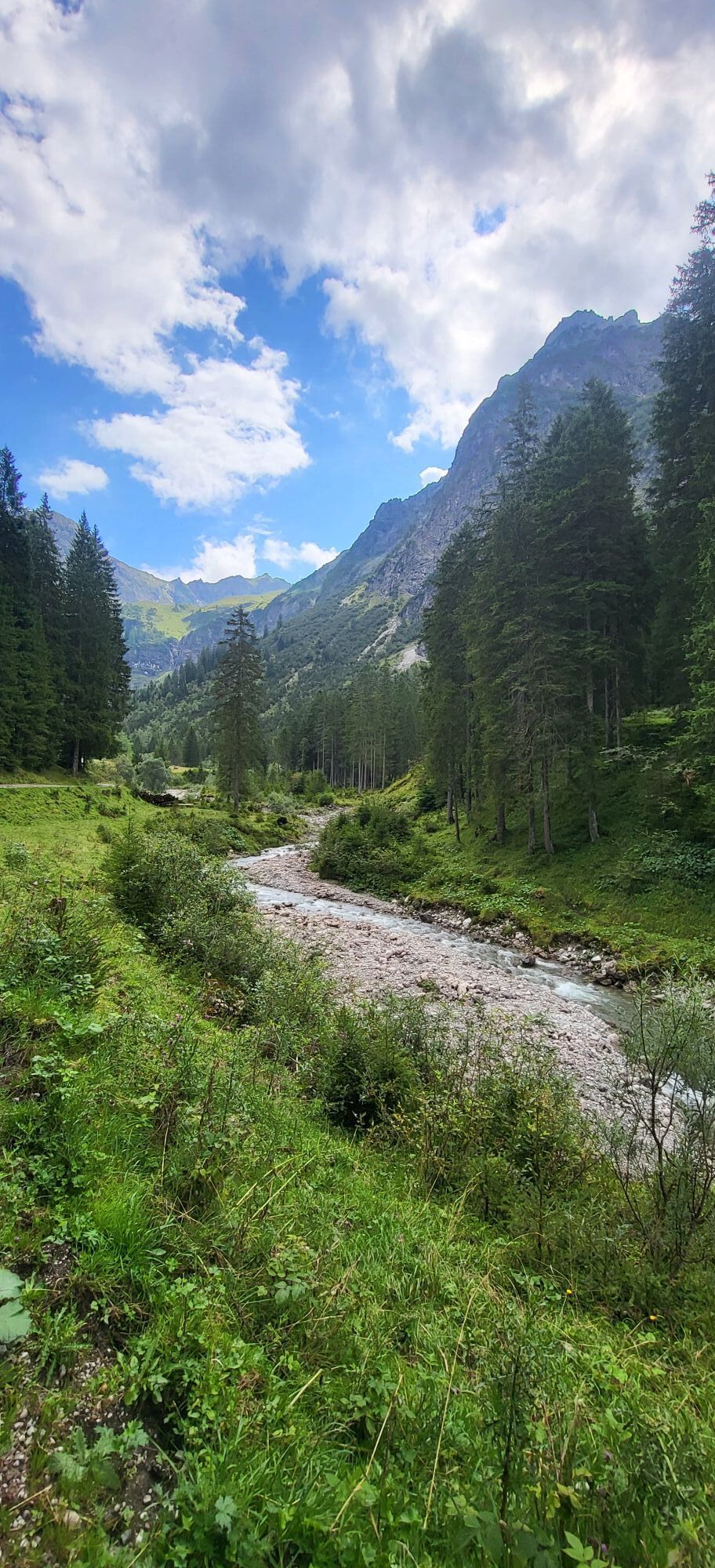
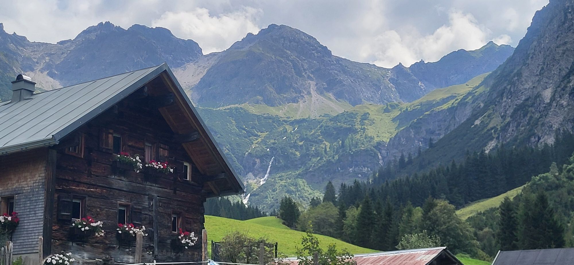
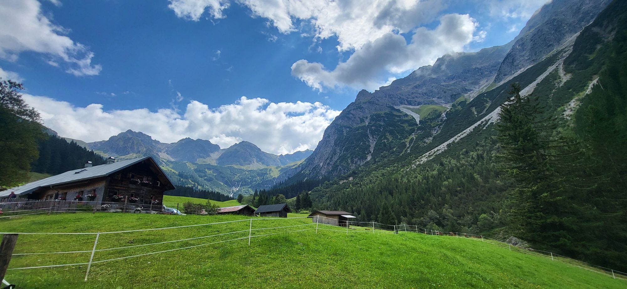
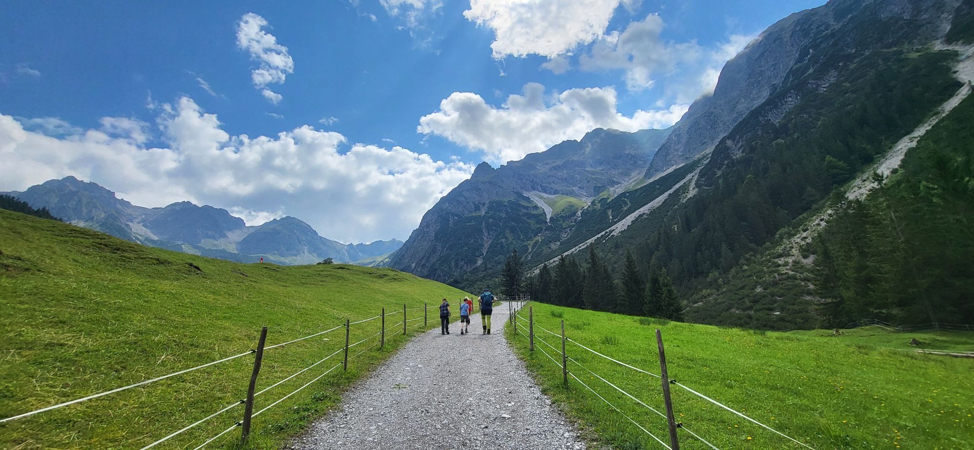
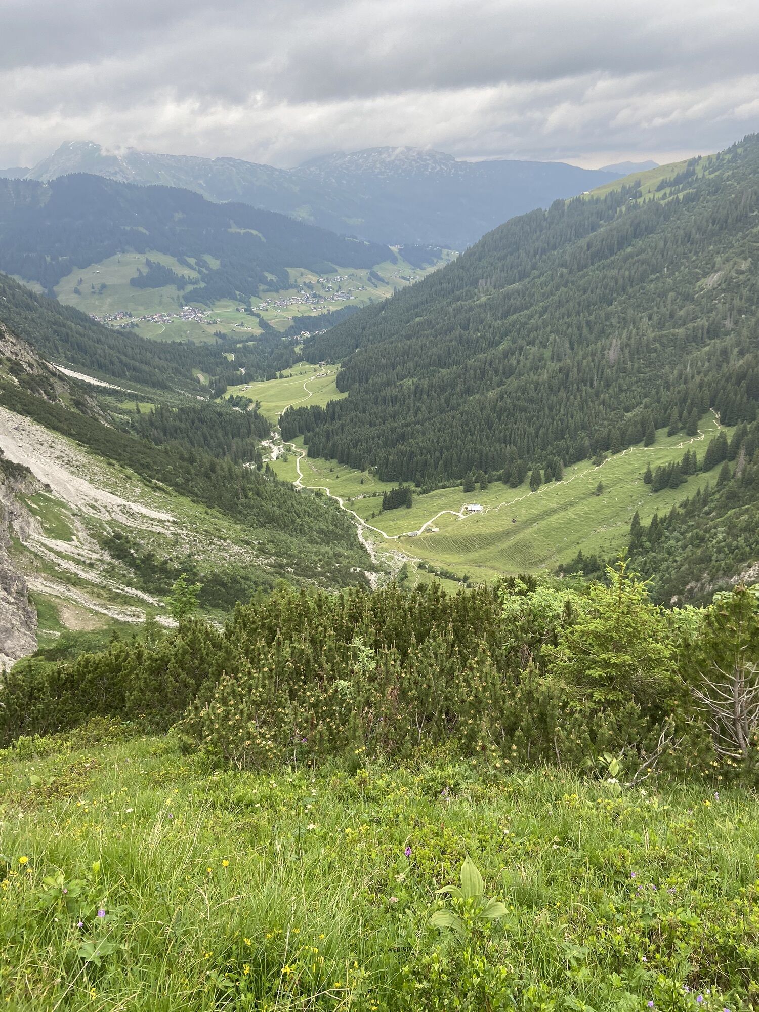
The ascent starts from the Schwendle bus stop/parking lot. Along the winter hiking trail into the Wildental, we reach the Wiesalpe. From here, we follow the summer hiking trail (not prepared in winter) until shortly before the Fluchtalp. Then continue straight ahead towards the waterfall, shortly before the forested area we cross the meadow to the right, now we stand at the foot of the Elferkopf. We follow the slightly visible path (summer hiking trail) along the forest edge towards the waterfall. The forest path leads us to the Hintere Wildenalpe, from here we go left past the hill to the beginning of the middle & southern Schafalpenkopf. Through the cirque of the Ochsenloch we reach the notch directly (Caution! Only enter the cirque under the best conditions - avalanche danger!).
Descent
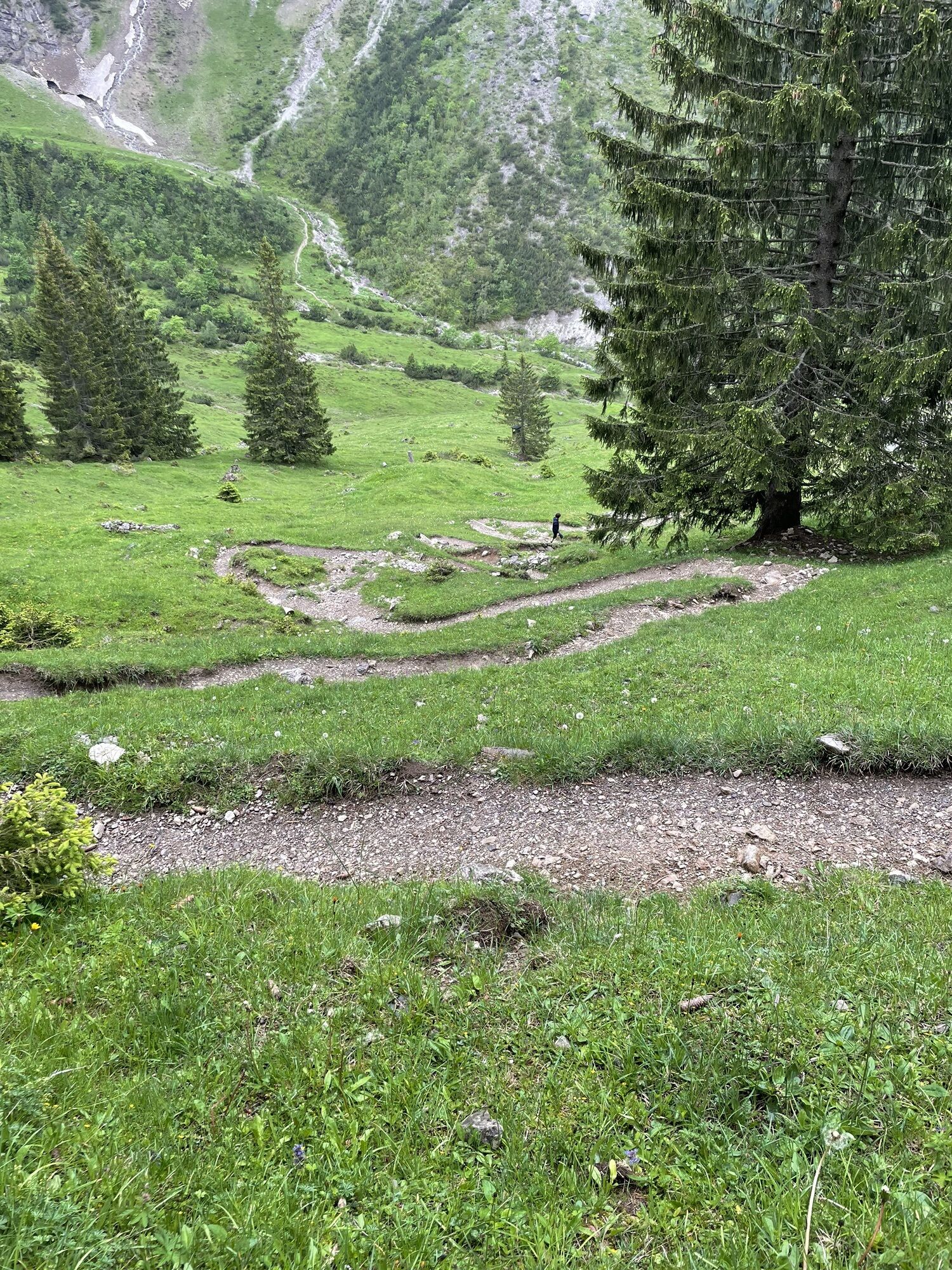
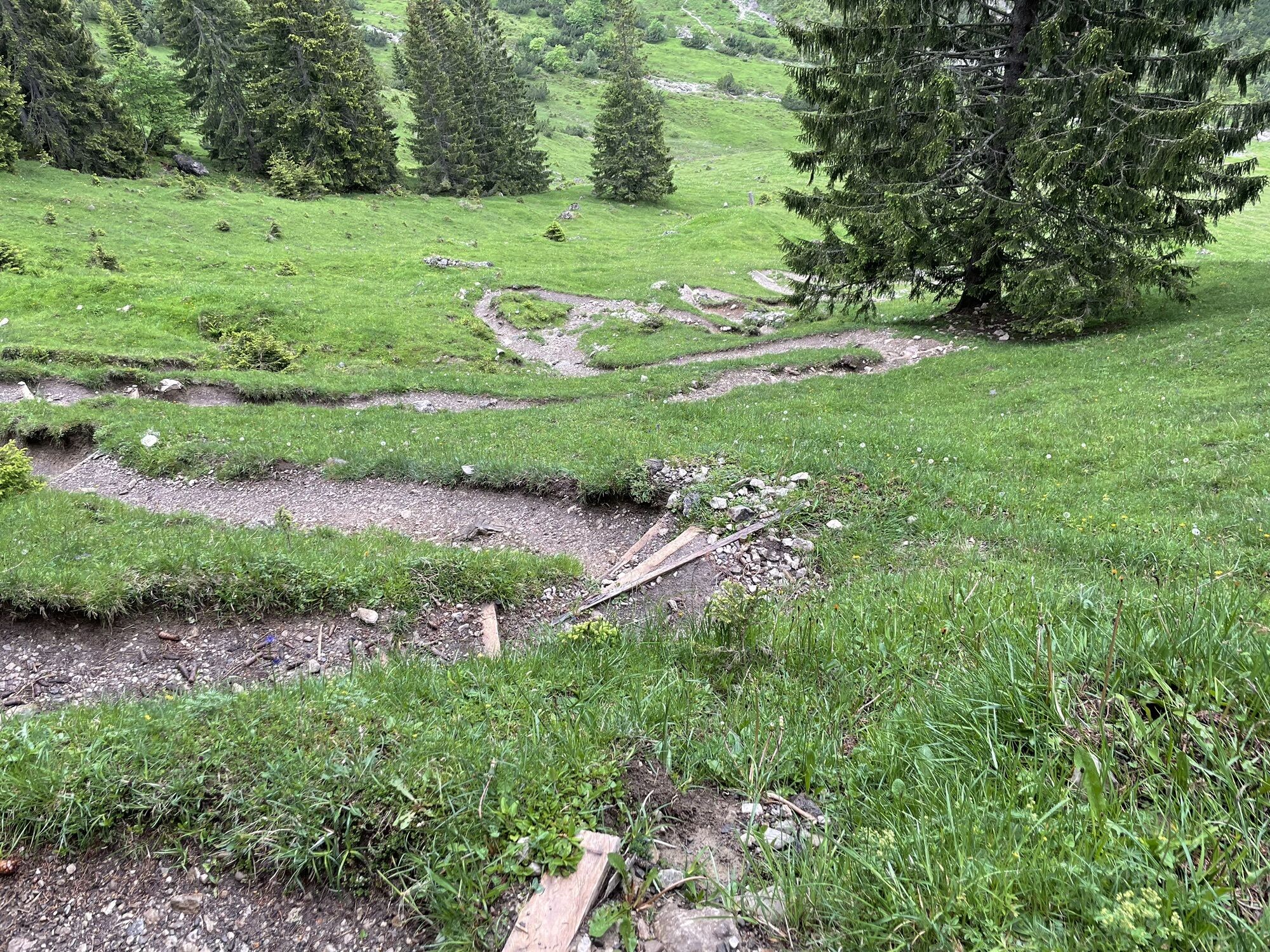
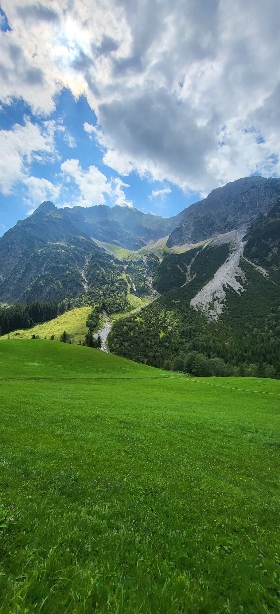
After the cirque, we turn ski/snowboard to the right (Not straight ahead - rock slopes and forest!) and pass below the middle & northern Schafalpenkopf until we reach the front Wildenalpe. Along the summer hiking trail, we reach the Fluchtalpe and enjoy the last slope. The summer hiking trail is easy to find (from the front Wildenalpe), we keep to the right and wind through the forest corridors.
Complete ski touring equipment including avalanche emergency equipment: avalanche transceiver, shovel, and probe (standard); optional backpack with avalanche airbag
Off marked and secured pistes and paths, everyone is responsible for their own safety and must inform themselves about alpine hazards, especially avalanche danger . Weather conditions and snow situations may require changes in the route.
The provided GPS track is merely a suggestion. No liability can be assumed for the accuracy of the information.
EMERGENCY NUMBERS:
144 Alpine emergencies Vorarlberg 112 European emergency number (works with any mobile phone/network)If arriving by car, form car pools.
Most routes from Germany meet in Ulm and continue on the A7. At the Allgäu motorway junction, take the A980 section to the Waltenhofen exit and then the four-lane B19 through Sonthofen and Oberstdorf to Kleinwalsertal.
From Austria (Vorarlberg) and Switzerland, you reach Kleinwalsertal via the Bregenzerwald (Hittisau) – Riedbergpass – Fischen – Oberstdorf.
Coming from Tyrol, the fastest route is via the A7 to Kempten and then the B19 towards Oberstdorf. No motorway vignette is needed for the drive into the valley.
Just leave your car behind!
By train to Oberstdorf. Directly opposite the station, the Walserbus departs towards Kleinwalsertal. Line 1 goes to the Bödmen stop, where you change to line 4 "Höfle" and get off at the "Höfle - Schwendle" stop.
Paid parking is available near the starting point.
Parking along the state road is not permitted.
AD
Kamery internetowe z trasy
-
Bergstation Kanzelwandbahn Riezlern
-
Fellhornbahn Station Schlappoldsee
-
Fellhornbahn Gipfelstation
-
Fellhorn/Oberstdorf Kleinwalsertal
-
Hirschegg - Naturhotel Chesa Valisa
-
Zaferna Bergstation
-
Mindelheimer Hütte
-
Riezlern - Kinderland
-
Mittelberg - Naturhotel Lärchenhof
-
Plattform - Schirmbar Riezlern
-
Hirschegg - Hotel Walserhof
-
Hirschegg - Hotel Birkenhöhe
-
Hirschegg - Hotel Sonnenberg
-
Mittelberg Bödmen - Hotel Alte Krone
-
Riezlern - Hotel Erlebach
-
Mittelberg - Haus Walser Berge
-
Möserbahn Berg
-
Möserbahn Berg
-
Möserbahn Berg
-
Möserbahn Berg
-
Möserbahn Berg
-
Kanzelwand / Fellhorn
-
Mittelberg - Bergpension Starzelhaus
-
Mittelberg - Gästehaus Otto Fritz
-
Bannholzhof
-
Fellhorn/Oberstdorf Kleinwalsertal
-
Fellhorn/Oberstdorf Kleinwalsertal
-
Fellhorn/Oberstdorf Kleinwalsertal
-
Fellhorn/Oberstdorf Kleinwalsertal
-
Fellhorn/Oberstdorf Kleinwalsertal
-
Fellhorn/Oberstdorf Kleinwalsertal
-
Fellhorn/Oberstdorf Kleinwalsertal
-
Bannholzhof
-
Kleinwalsertal / Haus Keti
-
Walmendingerhorn
-
Walmendingerhorn
-
Kleinwalsertal
-
Riezlern - Haus Peter Paul
-
Riezlern - Landhaus Evi
-
Hirschegg - Hotel Birkenhöhe
Popularne wycieczki w okolicy
-
5,0
Gerstruben - zum historischen Bergbauerndorf
średniWędrówka 12,8 km -
4,4
Mountain tour over the Fellhorn ridge
średniWędrówka 8,24 km -
4,7
Widderstein Runde von Baad
średniWędrówka 15,8 km -
4,3
Circular hike through the Bärgunttal
średniWędrówka 4,75 km -
4,5
Winterwanderung ins Oytal
średniWędrówka zimą 10,1 km -
4,9
E5 - 1. Etappe: Oberstdorf - Kemptner Hütte
światłodługodystansowy szlak pieszy 7,80 km -
4,5
Breitachklamm Rundweg (Alpe Dornach)
średniWędrówka 7,65 km -
4,3
Kanzelwand- Fellhorn- Kanzelwand
światłoWędrówka 7,60 km -
4,2
Hiking through the Schwarzwassertal via Melköde to the Schwarzwasserhütte
średniWędrówka 5,08 km -
4,9
Holzgau zur Rossgumpenalm
średniWędrówka 4,09 km

Wędrówki i tropienie


Nie przegap ofert i inspiracji na następne wakacje
Twój adres e-mail została dodana do listy mailingowej.