






Mountain bike route to Alpe Melköde in the Schwarzwassertal
Poziom trudności: S0
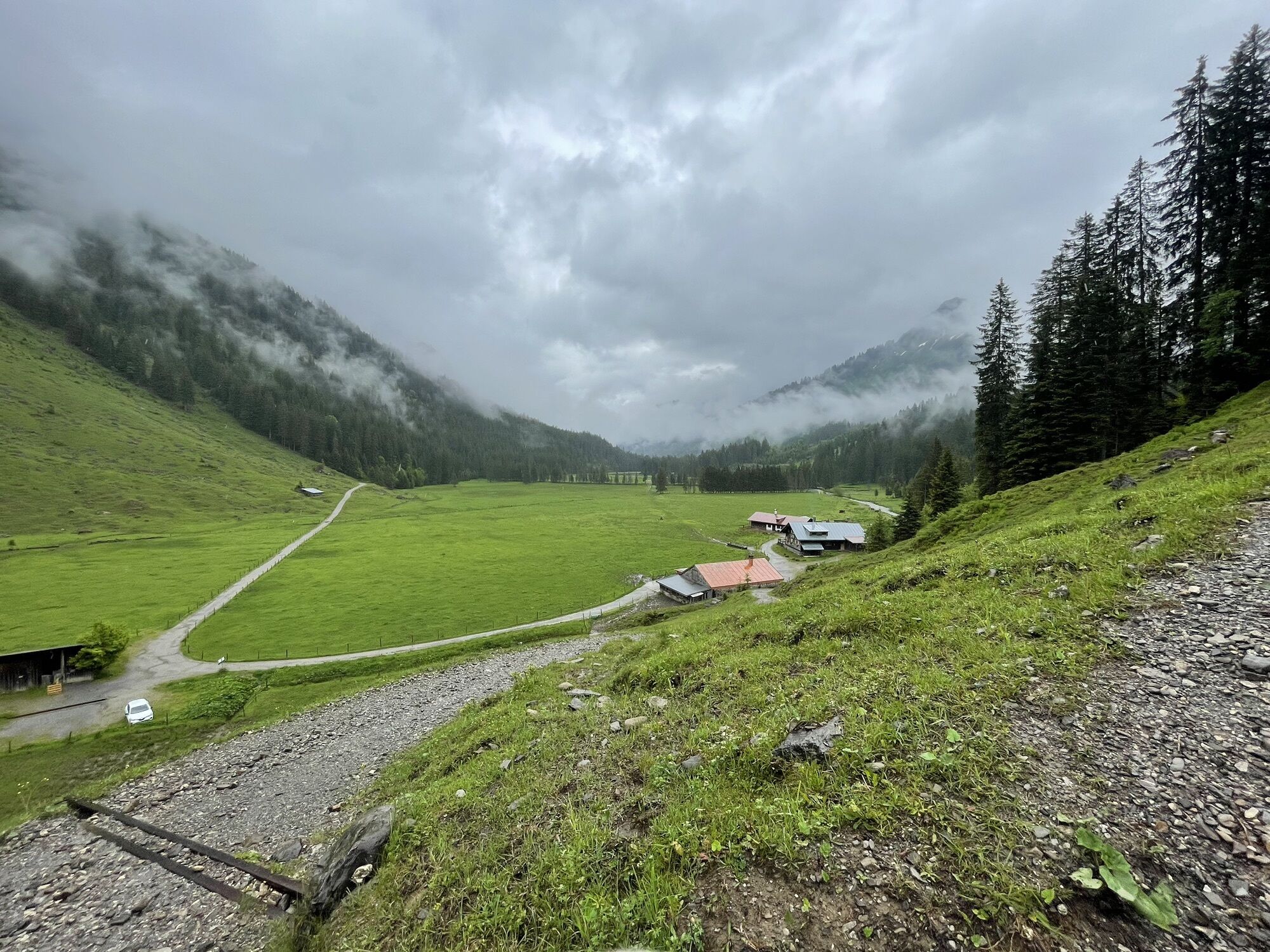
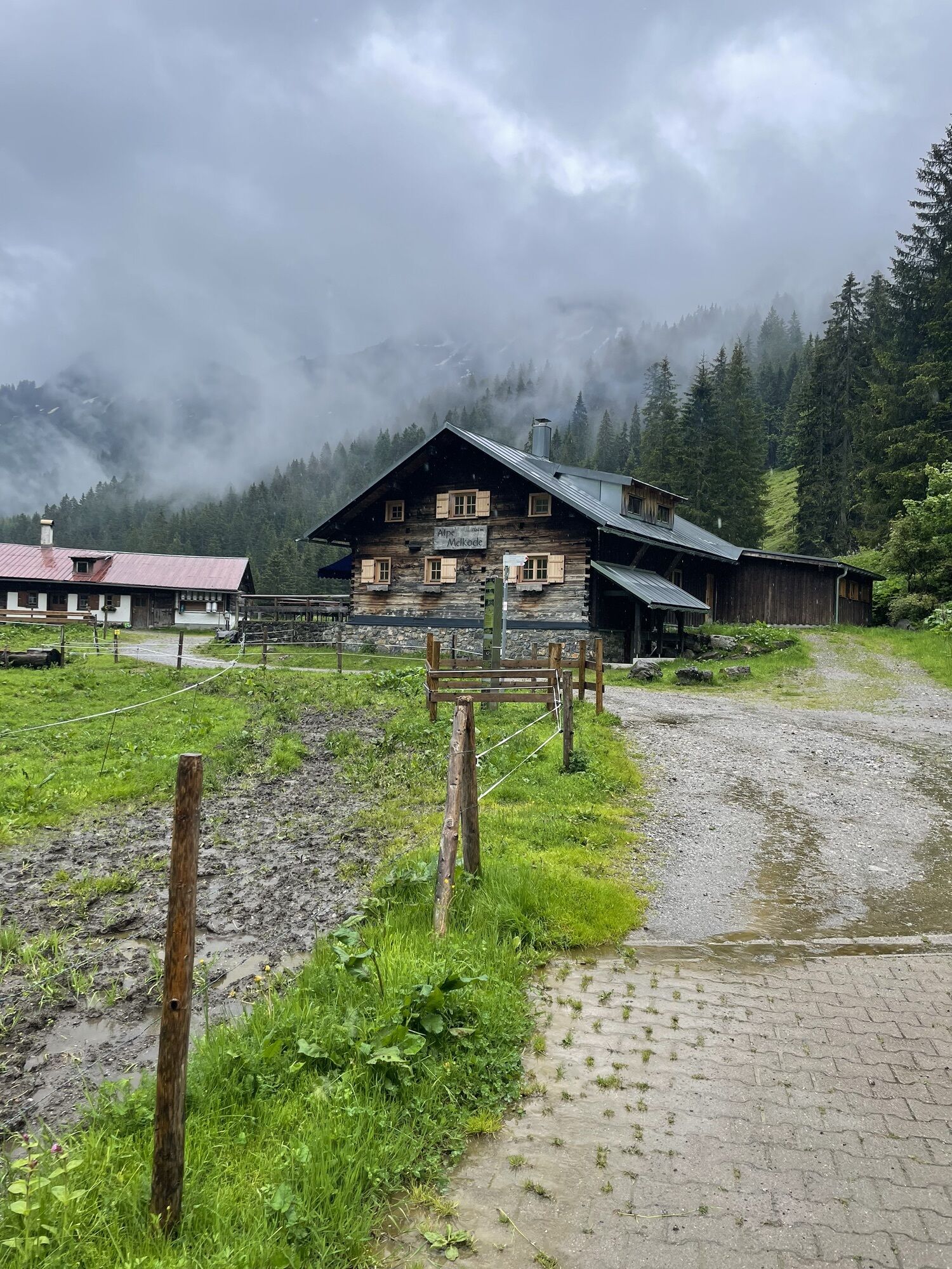
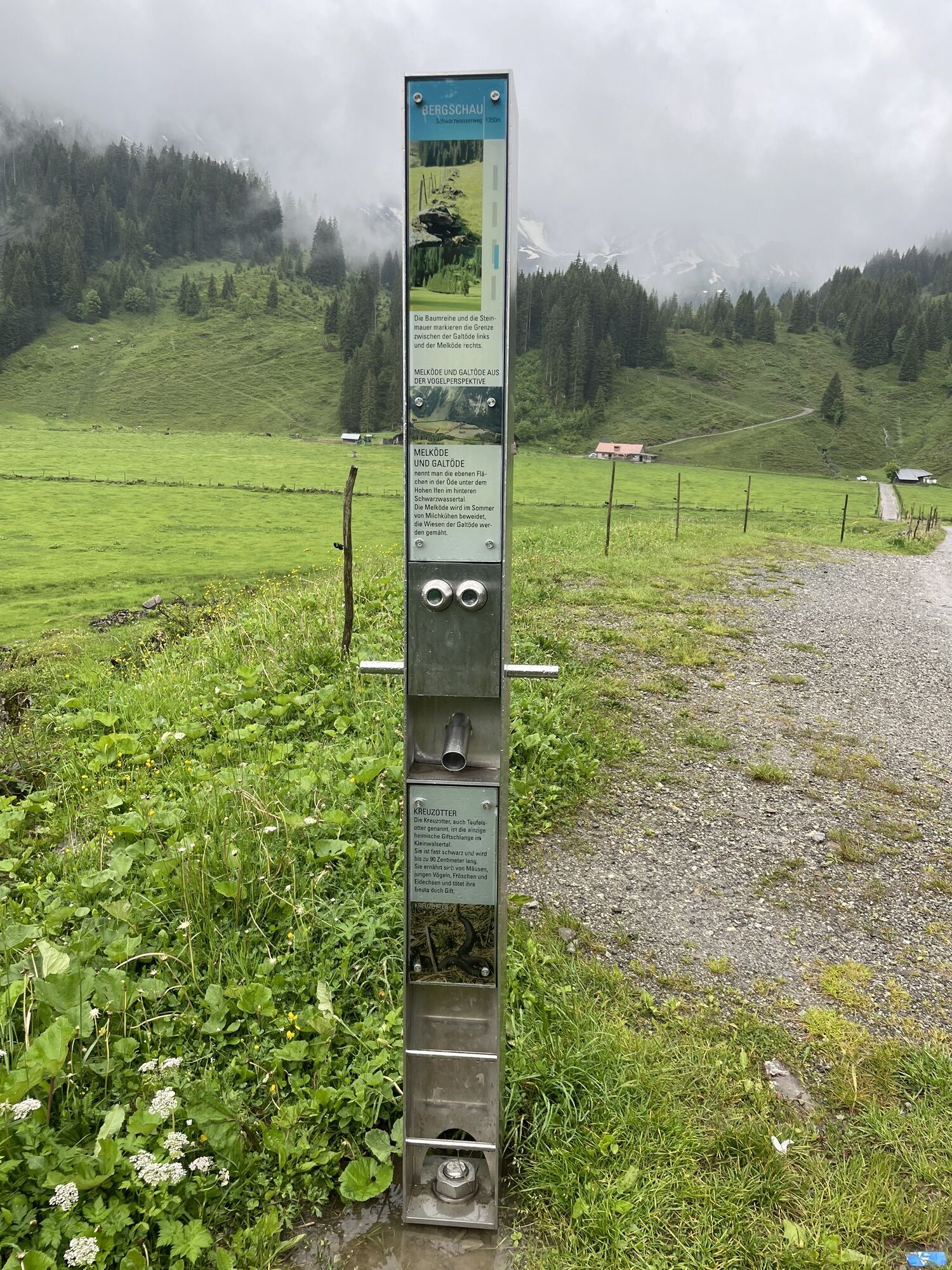
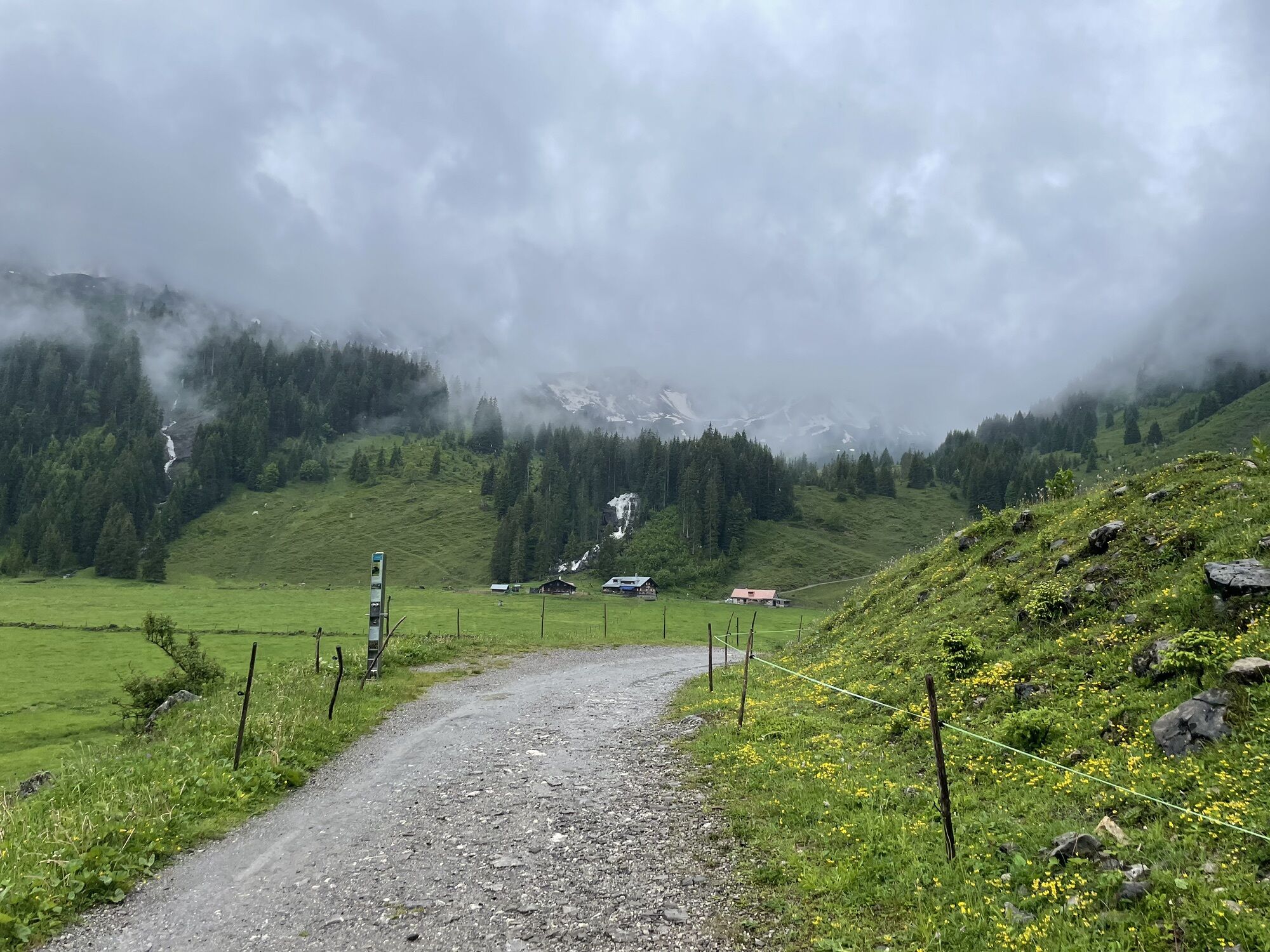
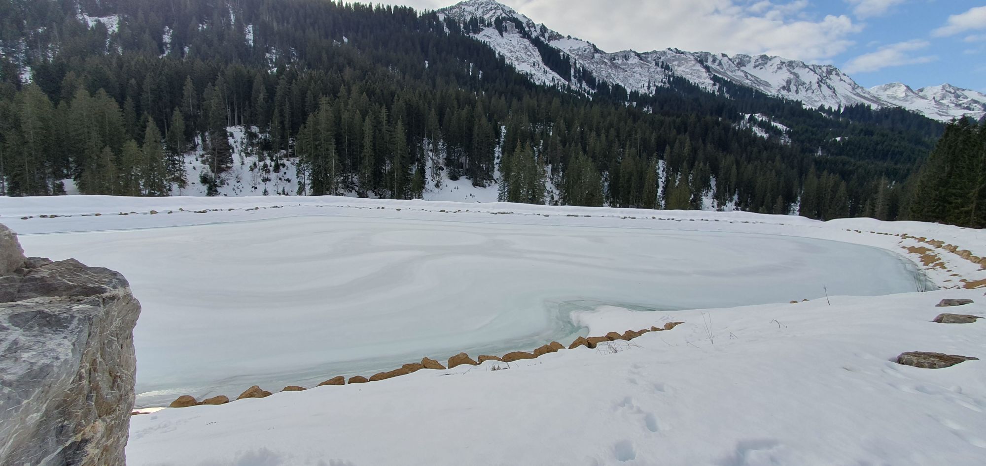
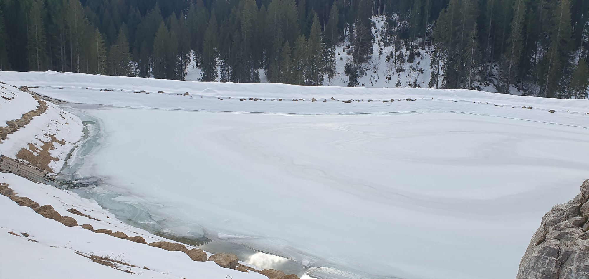
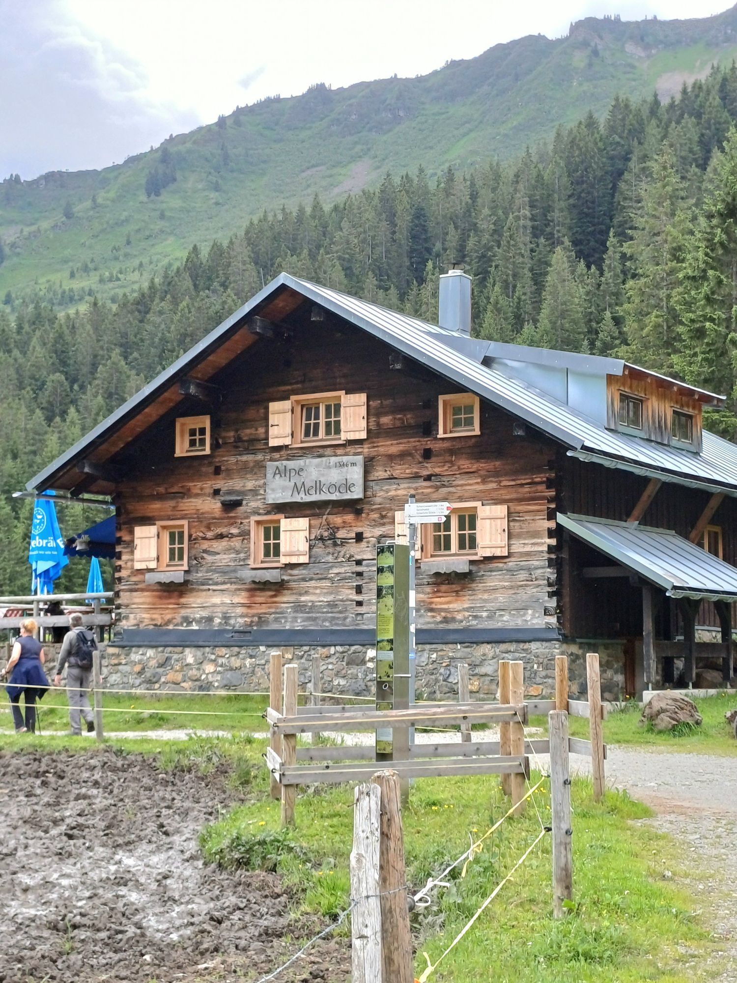
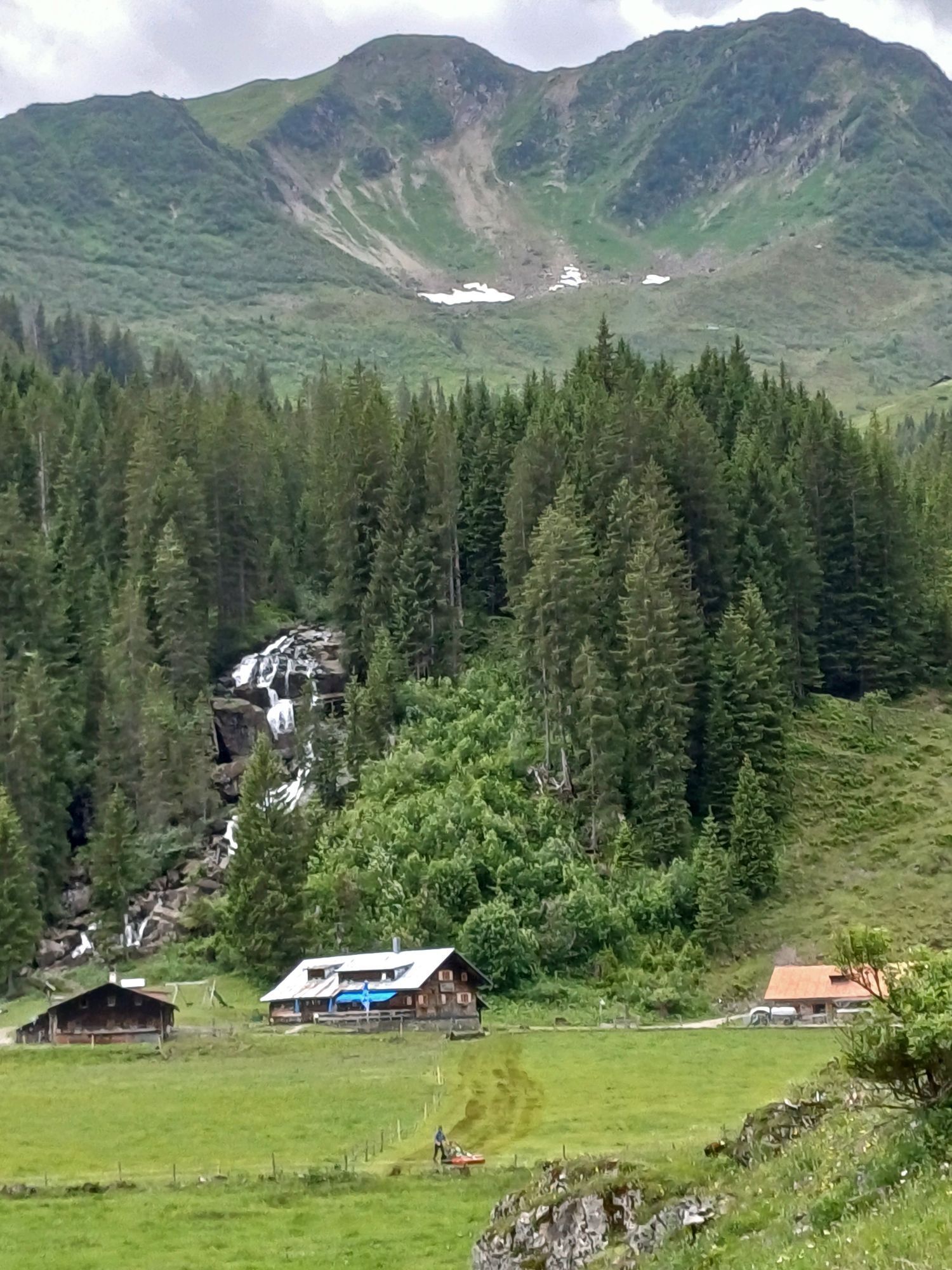
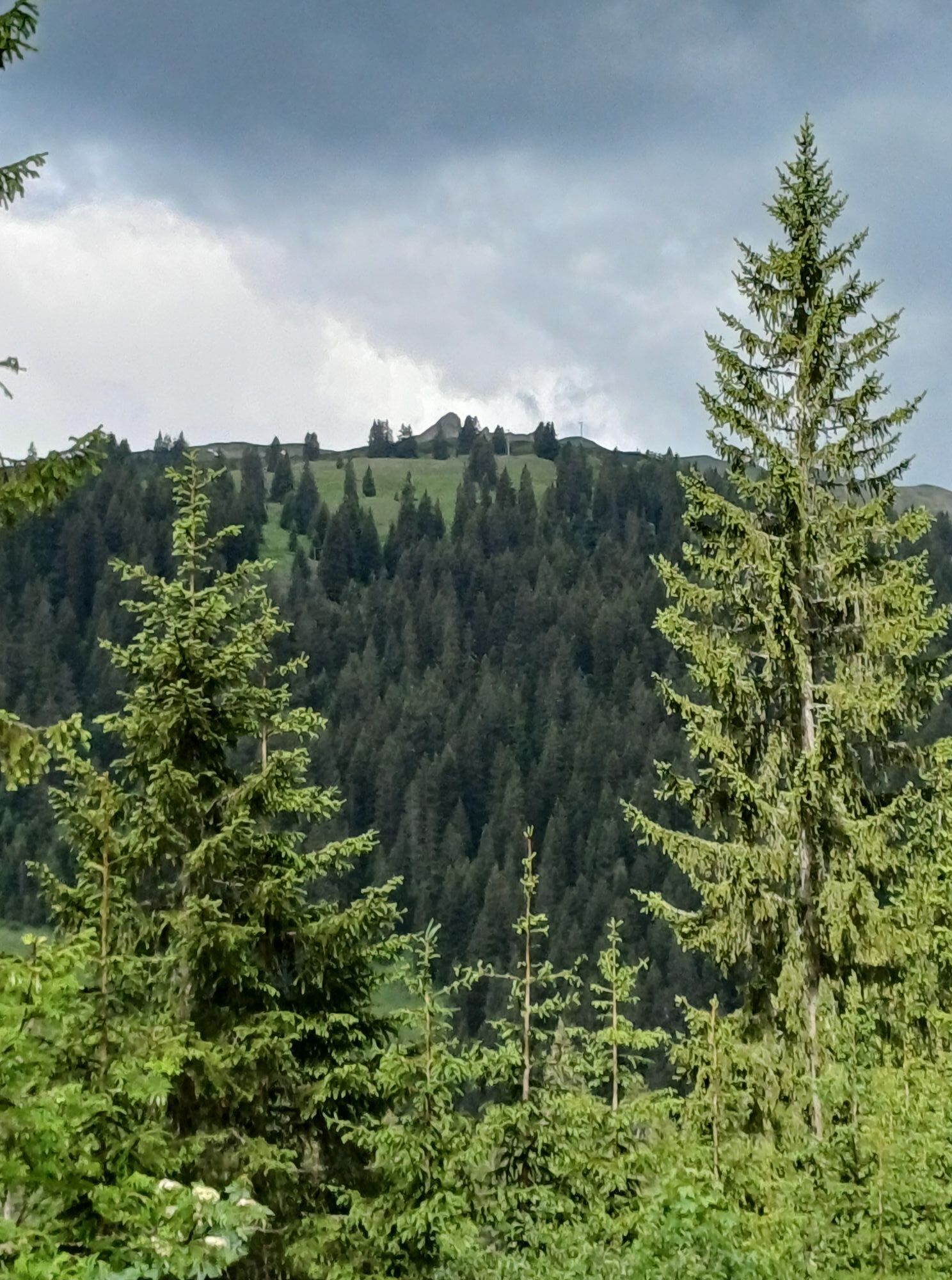
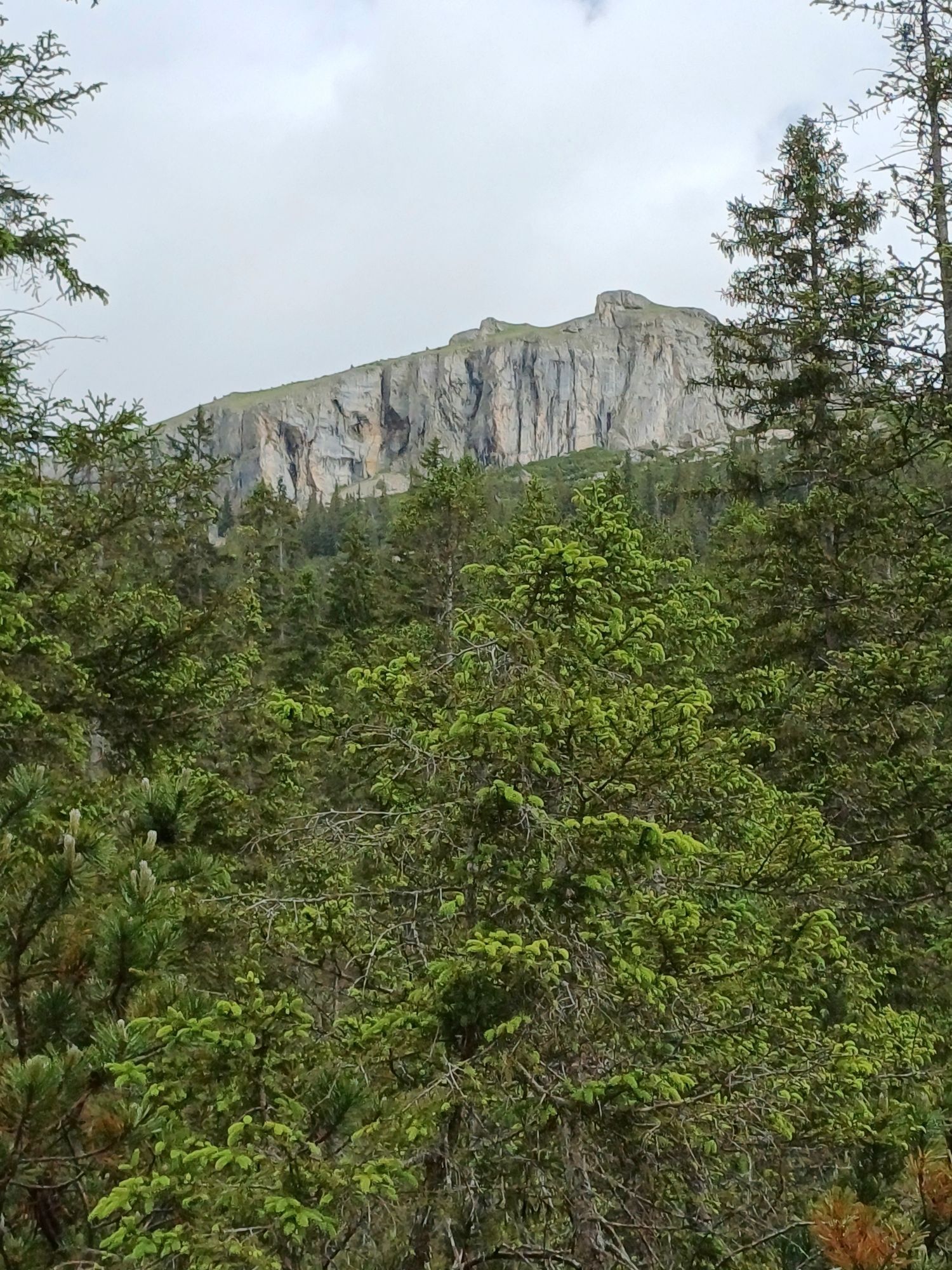
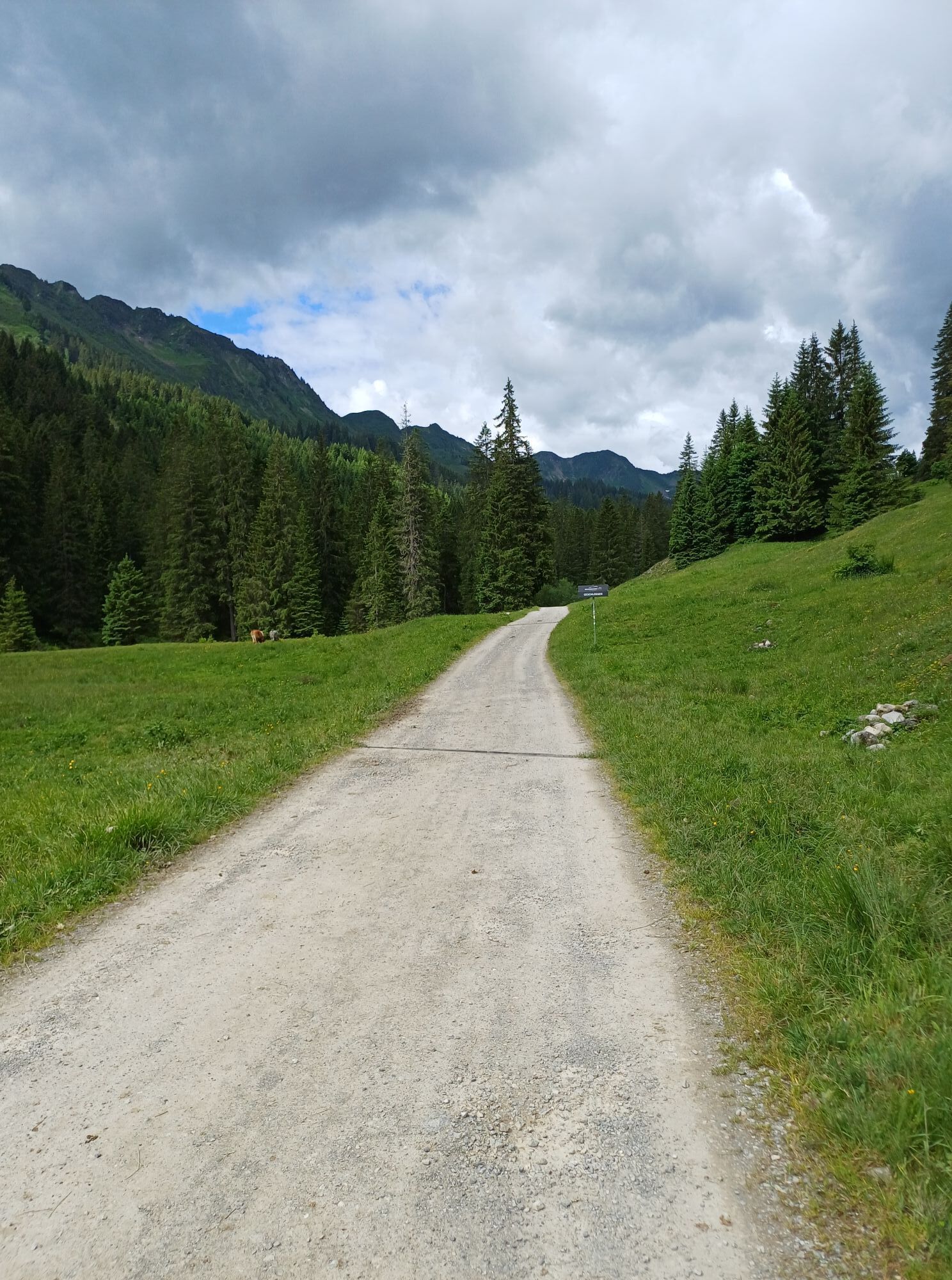
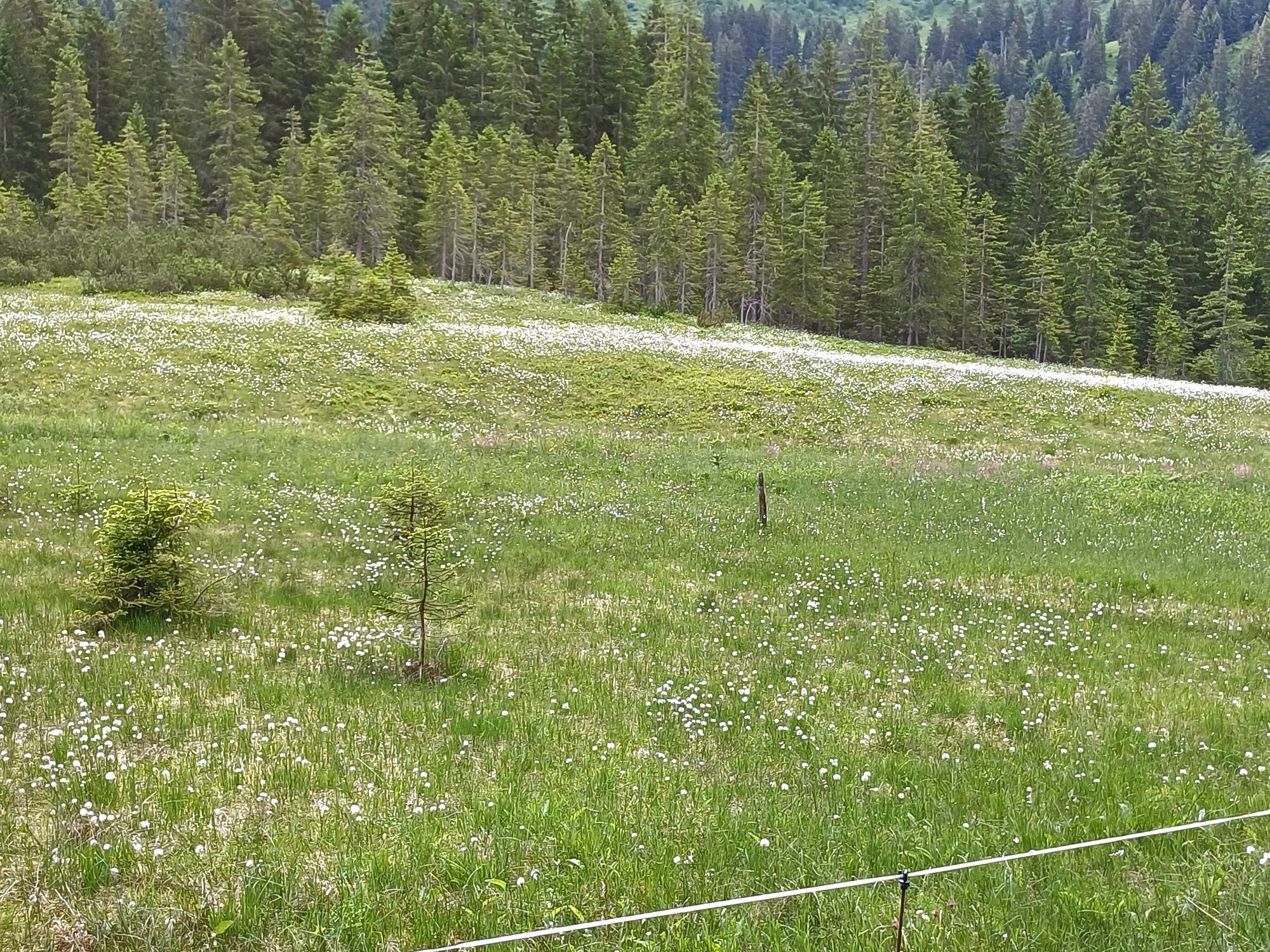
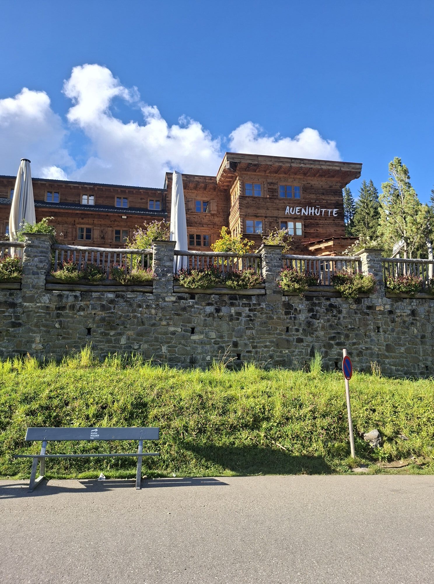
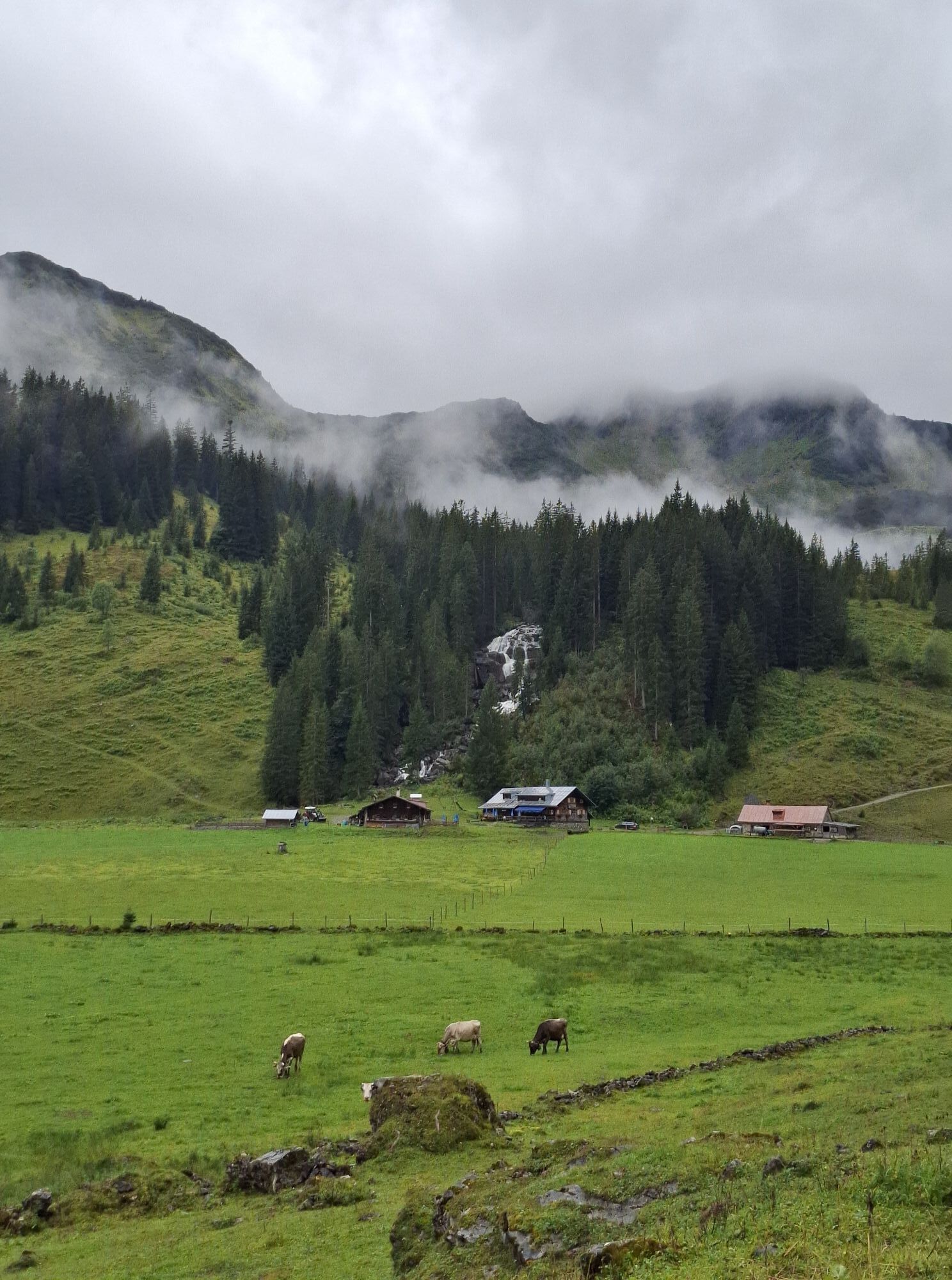
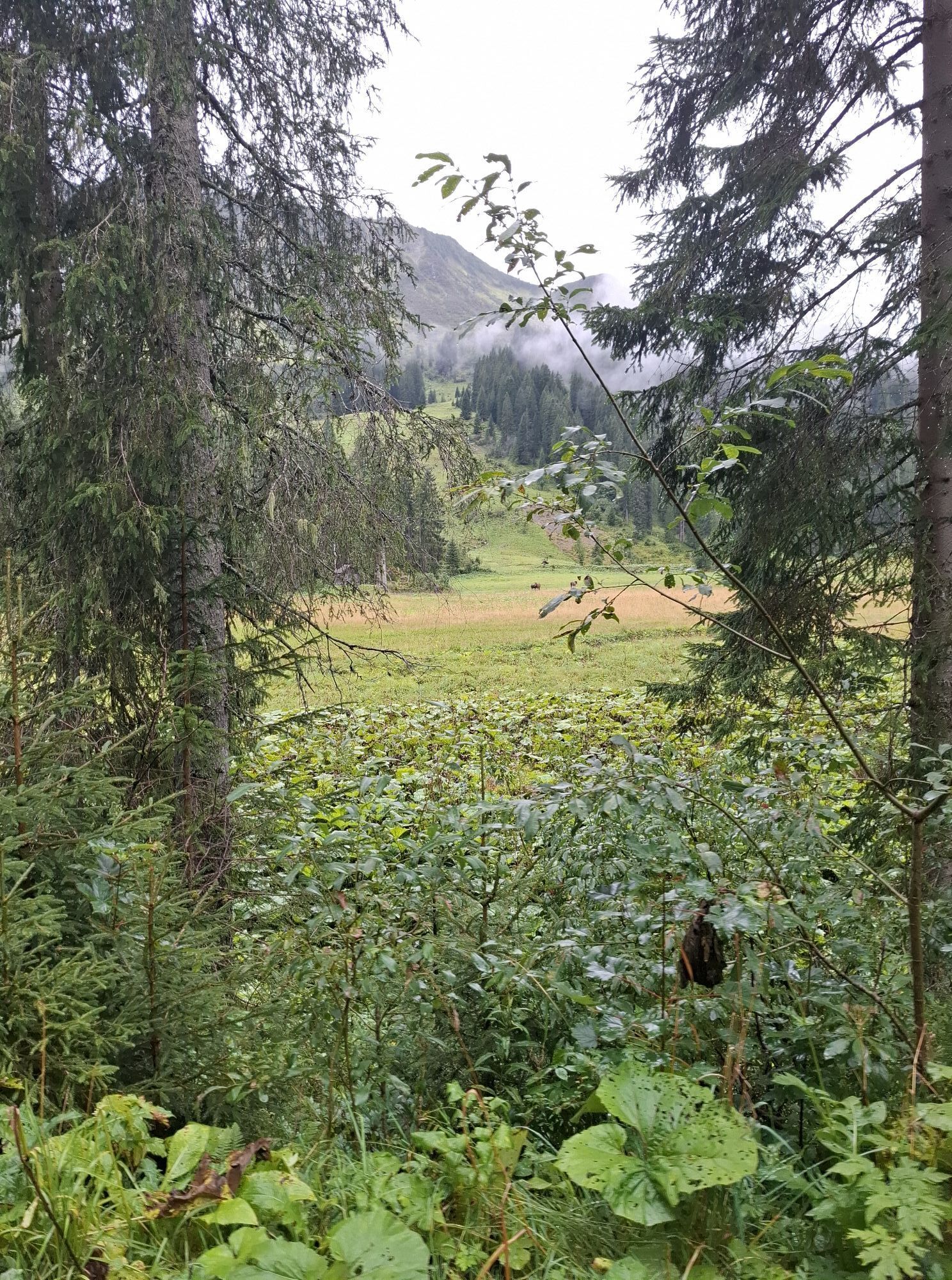
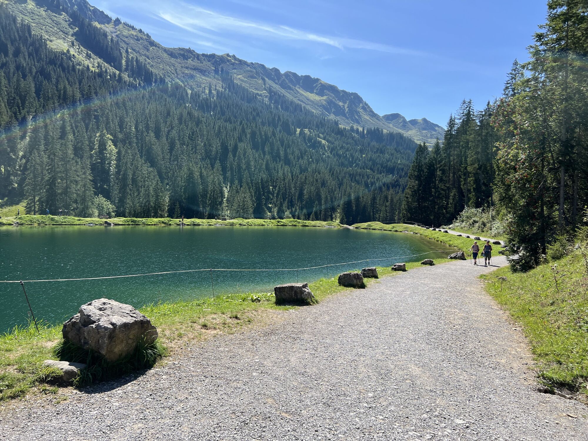
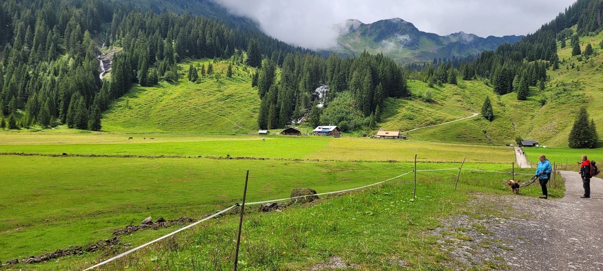
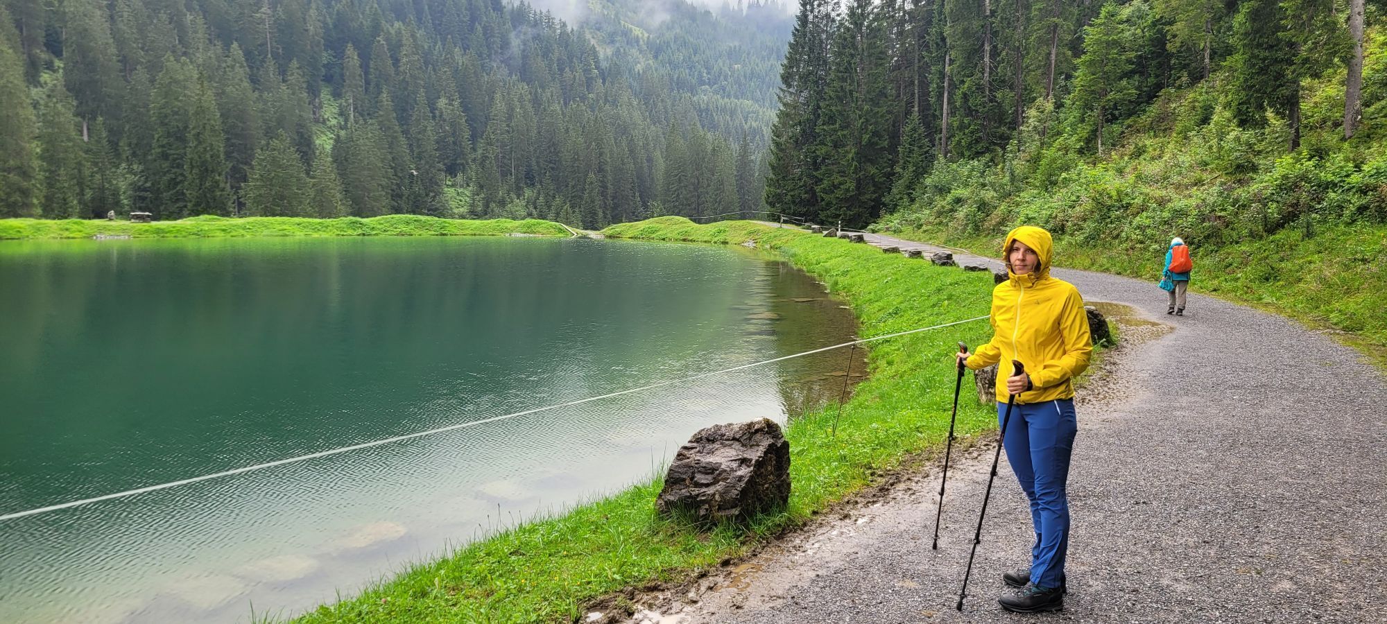
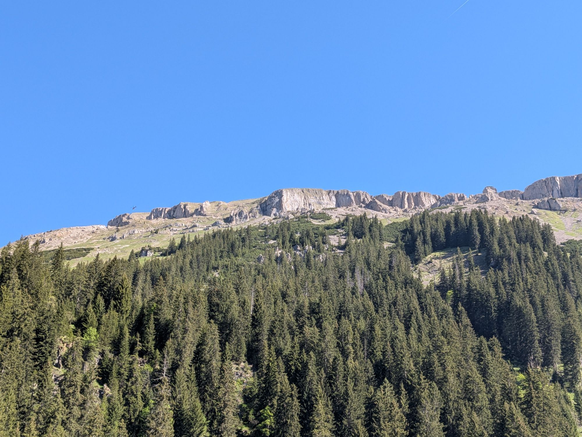
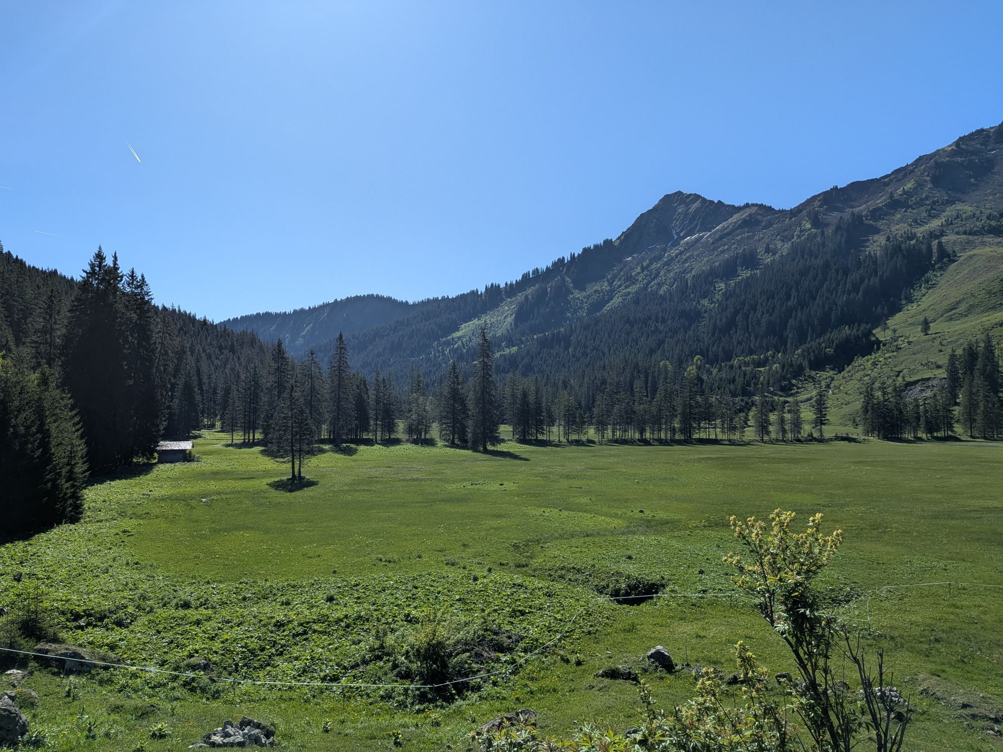
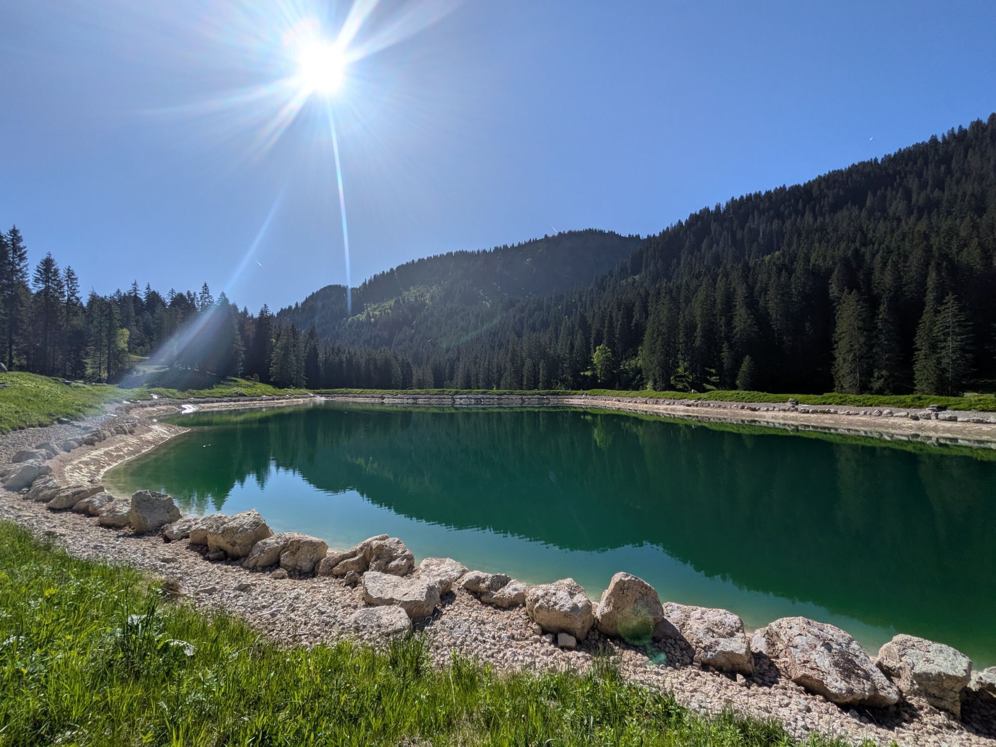
This mountain bike route leads into the Schwarzwassertal between Walmendinger Horn and Hoher Ifen. The route is continuously gravelled and has a moderate incline, so no steep climbs or descents have to...
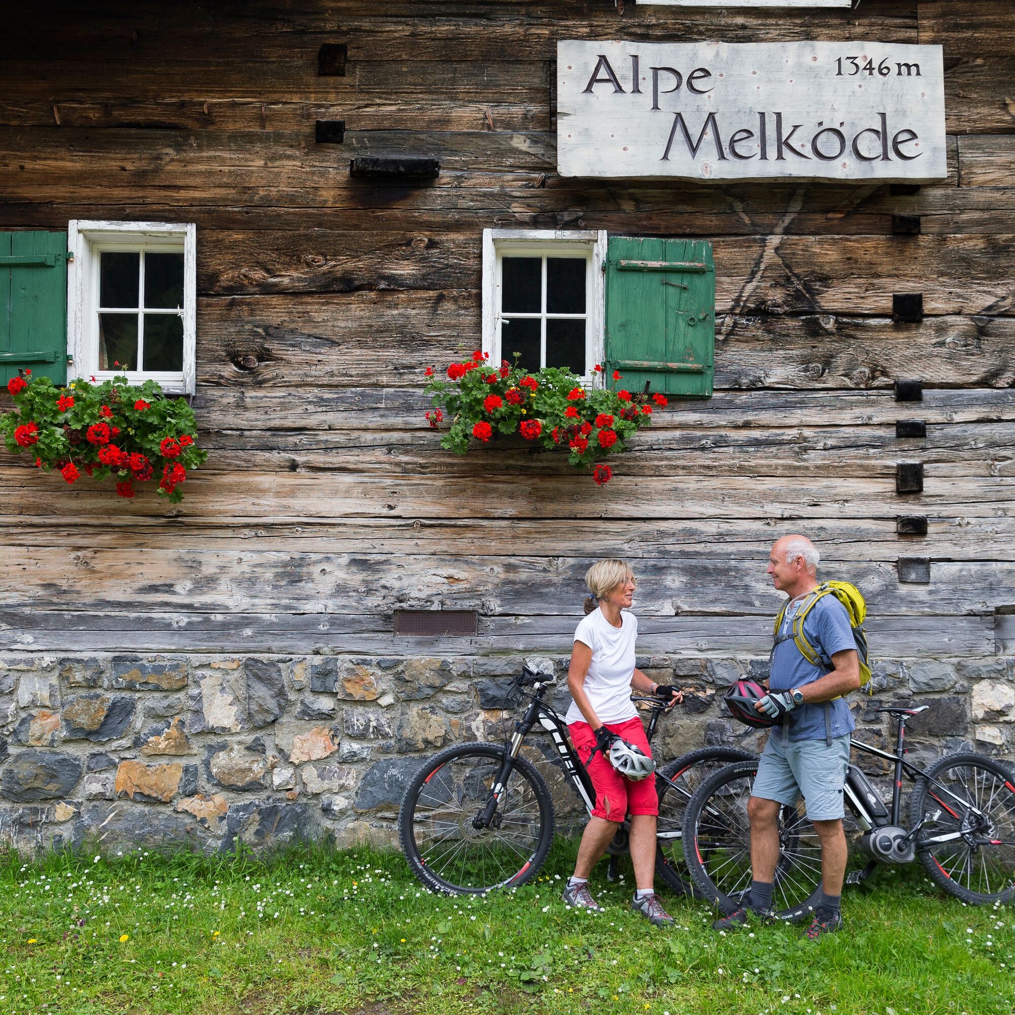
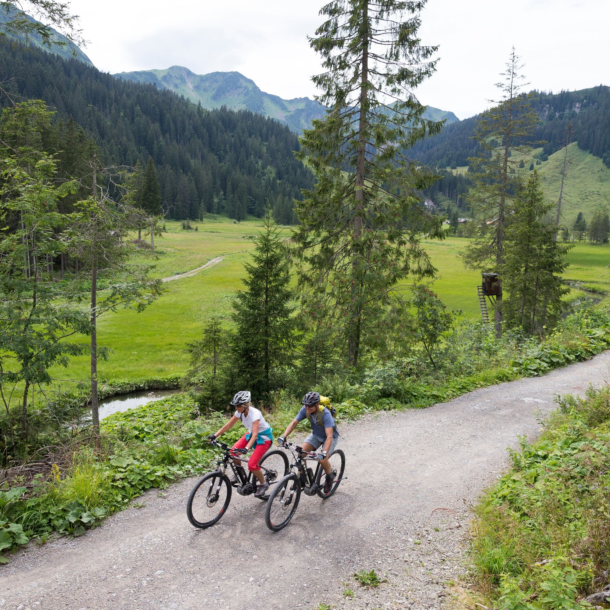
This mountain bike route leads into the Schwarzwassertal between Walmendinger Horn and Hoher Ifen. The route is continuously gravelled and has a moderate incline, so no steep climbs or descents have to be managed. From the valley station of the Ifenbahn past the Herzsee always along the hiking trail and – shortly before the Alpe Melköde plain opens up – keep right to Alpe Melköde. The managed Alpe Melköde is a good place for a break before heading downhill, initially on the same route and then at the fork before the Herzsee keeping right to return to the starting point of the route.
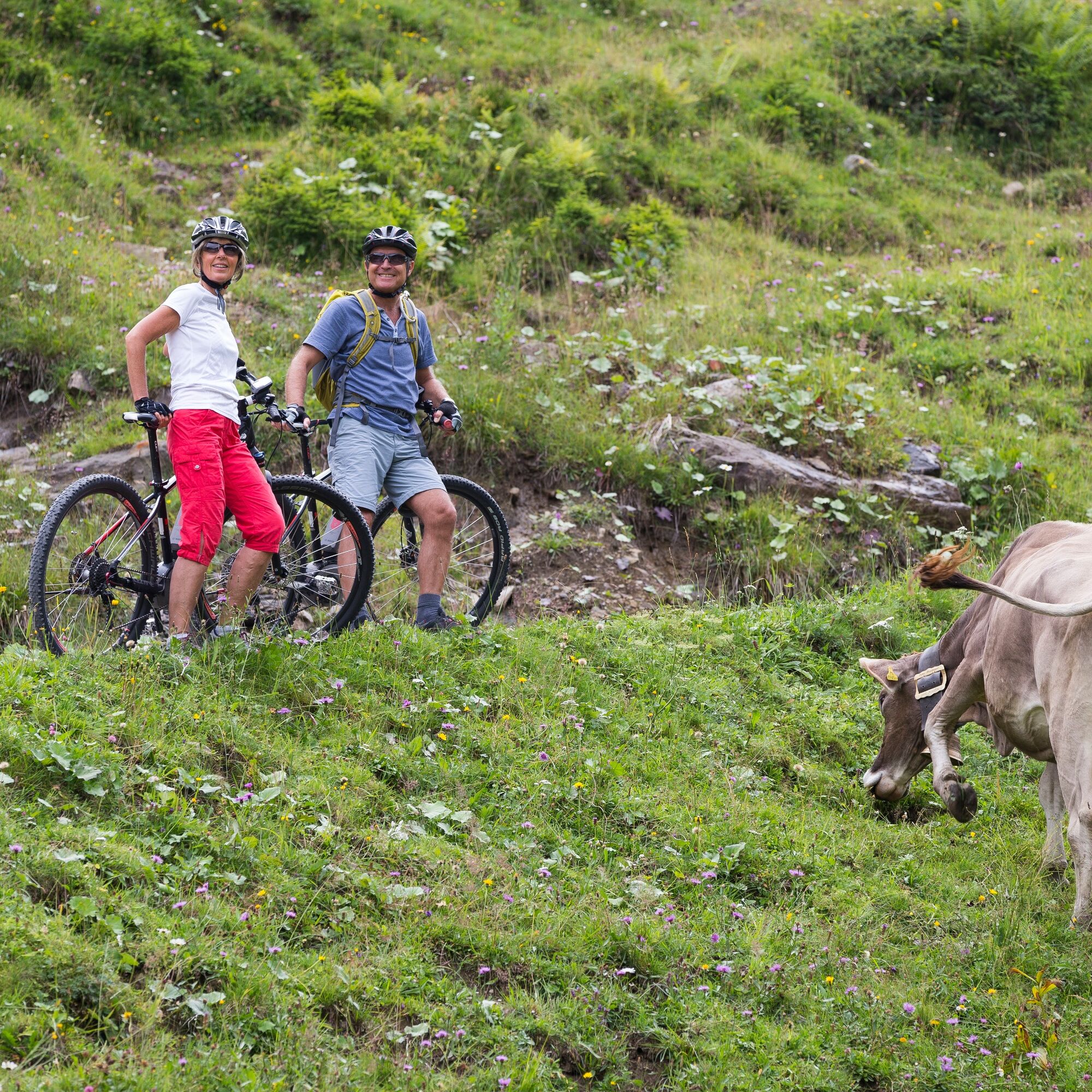

Hirschegg, valley station Ifenbahn - Herzsee - Alpe Melköde - Herzsee - Hirschegg, valley station Ifenbahn
Tak
Tak
Tak
Mountain bike or e-bike, bicycle helmet
EMERGENCY CALL:
144 Alpine emergencies Vorarlberg
112 European emergency call (works with any mobile phone/network)
The Schwarzwassertal is very popular in summer among both bikers and hikers. Cyclists and hikers show consideration for each other here.
Most routes from Germany converge in Ulm and continue on the A7. At the Allgäu motorway junction, take the section of the A980 to the Waltenhofen junction and then the four-lane B19 via Sonthofen and Oberstdorf into the Kleinwalsertal. From Austria (Vorarlberg) and Switzerland, the Kleinwalsertal is reached via the Bregenzerwald (Hittisau) – Riedbergpass – Fischen – Oberstdorf. From Tyrol, the fastest route is via the A7 to Kempten and then on the B19 towards Oberstdorf. No motorway vignette is required for the drive into the valley.
Basically, no transport of e-bikes is possible in the Walserbus. Bicycles without a motor can be transported at off-peak times (up to about 8:00 a.m. and from about 7:00 p.m.). The prerequisite for transportation is that cyclists bring their own transport securing device (tie-down strap) and there is enough space.
It is generally recommended to cycle directly from your accommodation to the starting point of the route.
Paid parking spaces are located at the Ifen parking lot.
S0
Nature is so much more than the backdrop for unforgettable mountain experiences. It is a habitat for animals and plants. It provides drinking water and supplies us with high quality food. Not only does it provide valuable raw materials such as wood, it also protects against avalanches and mudslides and regulates the climate. It is up to us to support nature in everything that it does for us. One thing is certain, together we can achieve more:
Smart in NATURE
CONSCIOUS together
EXPERIENCE foresight
Smart in NATURE
Take a deep breath and recharge your batteries, be outside and feel free. When we enjoy nature, we are guests in the living room of shy animals and rare plants. If you behave smart, they will be happy to share their living space with you in the future too.
Stay on paths and marked routes
If you follow the marked paths and routes, you are sure to come to new favorite places. In this way you also respect protected areas, because many animals and plants need special protection. Especially in winter, any disturbance unnecessarily costs the wild animals the strength they need to survive.
Avoiding twilight times
Standing on a mountain at sunrise is a special experience. The morning and evening hours are also the time when most wild animals are in search of food. If they are disturbed, they get stressed. If it cannot be avoided, please stay on the marked path, do not use a bright headlamp and enjoy the silence.
Stay clean & take rubbish with you
It goes without saying: You take rubbish with you again, on the mountain and in the valley. Please also organic waste, because it is composted much more slowly at altitude. You can dispose of the rubbish properly at home or in your accommodation - please remember that there are no rubbish bins in public spaces in Kleinwalsertal.
On the natural toilet
If you are looking for a quiet place, please be at least 50 m away from water. Bury excrement or cover it with a large stone. Use fallen leaves or recycled toilet paper and put the paper back in the trash bag.
On tour with a dog
Are you always in control of your four-legged partner, even if he gets his nose for marmots, deer or other wild animals? You are both on the safe side on a leash. Keep dogs on a short leash near grazing cattle. If an attack by a grazing animal is foreseeable: leash off immediately. There are numerous dog stations in the valley for the disposal of dog bags. The farmers and alpine farmers thank you because manure in meadows and fields contaminates the feed and makes grazing cattle sick.
CONSCIOUS to each other
Consideration for other athletes and those looking for relaxation
Everyone loves to enjoy a special piece of earth for themselves. But most of the time we are not traveling alone. No problem, because there is enough space. Allow time, open the way in an accommodating manner, provide support when someone needs help and always give a smile. So nothing stands in the way of friendly cooperation and relaxed enjoyment of nature.
Appreciating the preservation of the cultural landscape
Alpine landscapes are touching with their contrast: Imposing peaks and natural forests alternate with gentle valleys, well-tended meadows and pastures. In the Kleinwalsertal too, this delightful landscape at three altitudes is no coincidence, but the result of an interplay of natural and cultural landscapes. Behind this is the work of farmers, alpine and forestry as well as hunters. With their work, they ensure that the attractiveness of the recreation and leisure area and the diversity of species are preserved. We already say thank you if we stay on the marked trails and enjoy regional products.
EXPERIENCE farsighted
Safe on tour - for you and others
Whether on a ski or snowshoe tour in winter or on a mountain tour in summer, anyone who is out and about in alpine terrain has to be well prepared. This includes careful information and tour planning as well as the right equipment. Correctly assessing alpine dangers requires a lot of knowledge and experience. Why not learn from professionals and go on tour with one of the experienced guides?
This route is also suitable for families with small children due to the gentle gradients and the fact that no busy roads are used.
Kamery internetowe z trasy
-
Bergstation Kanzelwandbahn Riezlern
-
Hahnenköpflebahn Bergstation / Ifenbergbahn
-
Hirschegg - Naturhotel Chesa Valisa
-
Zaferna Bergstation
-
Breitenalpe
-
Wildentalhütte
-
Mittelberg - Naturhotel Lärchenhof
-
Plattform - Schirmbar Riezlern
-
Hirschegg - Hotel Walserhof
-
Hirschegg - Hotel Birkenhöhe
-
Hirschegg - Hotel Sonnenberg
-
Mittelberg Bödmen - Hotel Alte Krone
-
Mittelberg - Haus Walser Berge
-
Kanzelwand / Fellhorn
-
Mittelberg - Gästehaus Otto Fritz
-
Bannholzhof
-
Bannholzhof
-
Kleinwalsertal / Haus Keti
-
Walmendingerhorn
-
Kleinwalsertal
-
Ifenbahn Bergstation
-
Ifenbahn Bergstation
-
Riezlern - Haus Peter Paul
-
Riezlern - Landhaus Evi
-
Hirschegg - Hotel Birkenhöhe
-
Kleinwalsertal - Ifenbahn
-
Kleinwalsertal - Kanzelwandbahn
-
Naturhotel Chesa Valisa
-
Kleinwalsertaler Rosenhof
-
Ferienhaus Oberwiese
-
Gästehaus Panorama
-
Alpenwald
-
Haus Berg & Tal / Hirschegg
-
Hotel Alpenstüble
-
Kesslerlift
-
Riezler Höhe
-
Mittelberg
-
Parsennbahn - Kleinwalsertal
Uzyskaj wgląd
Zawsze na żywo z ponad 9 500 kamer internetowych. bergfex Jako użytkownik Pro, możesz teraz zobaczyć odpowiednie kamery internetowe dla wielu wycieczek w aplikacji wycieczki od. Pozwala to na bezpośredni podgląd aktualnych warunków.
Aktywności na trasie
-

Mittelberg, Vorarlberg/Österreich
18.07.2026 – Wędrówka -
Mittelberg, Vorarlberg/Österreich
18.07.2026 – Wędrówka -
Auenhütte - Herzsee - Melköde Wasserfall
15.07.2026 – Wędrówka -
Wanderung durchs Schwarzwassertal zur Melköde
14.06.2026 – Wędrówka -

Mittelberg, Vorarlberg/Österreich
13.11.2024 – Wycieczki górskie
Popularne wycieczki w okolicy
-
4,4
Mountain tour over the Fellhorn ridge
średniWędrówka 8,24 km -
4,1
2-Länder-Panorama-Rundwanderweg Fellhorn/Kanzelwand
światłoWędrówka 6,70 km -
5,0
Winterstaude
średniWędrówka 9,30 km -
4,7
Widderstein Runde von Baad
średniWędrówka 15,8 km -
4,4
Circular hike through the Bärgunttal
średniWędrówka 4,75 km -
4,1
Winter circular hike through the Breitachklamm gorge
średniWędrówka zimą 5,66 km -
4,8
Biberkopf
ciężkiWędrówka 7,70 km -
4,5
Circular hike through the Derratal
średniWędrówka 8,11 km -
4,6
Breitachklamm Rundweg (Alpe Dornach)
średniWędrówka 7,65 km -
4,2
Hiking through the Schwarzwassertal via Melköde to the Schwarzwasserhütte
średniWędrówka 5,08 km
Wędrówki i tropienie


Nie przegap ofert i inspiracji na następne wakacje
Twój adres e-mail została dodana do listy mailingowej.





