


AVDB - Stage 6: Rif. Boz - Rif. Dal Piaz

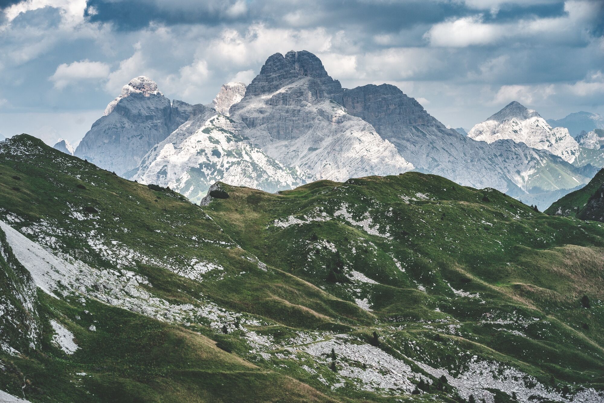
This stage crosses the Vette Feltrine, characterized by ridges, grassy ledges and glacial valleys called “Buse,” habitats of rare and precious botanical species. The route runs through a Strict Nature...
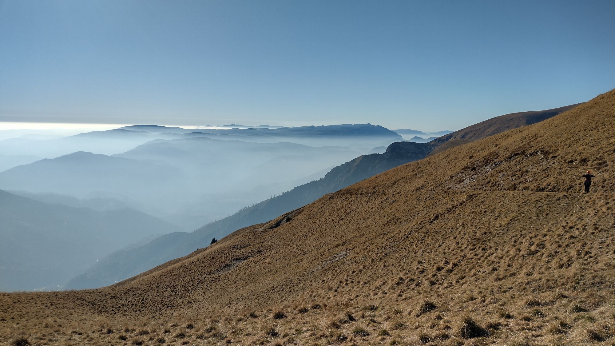
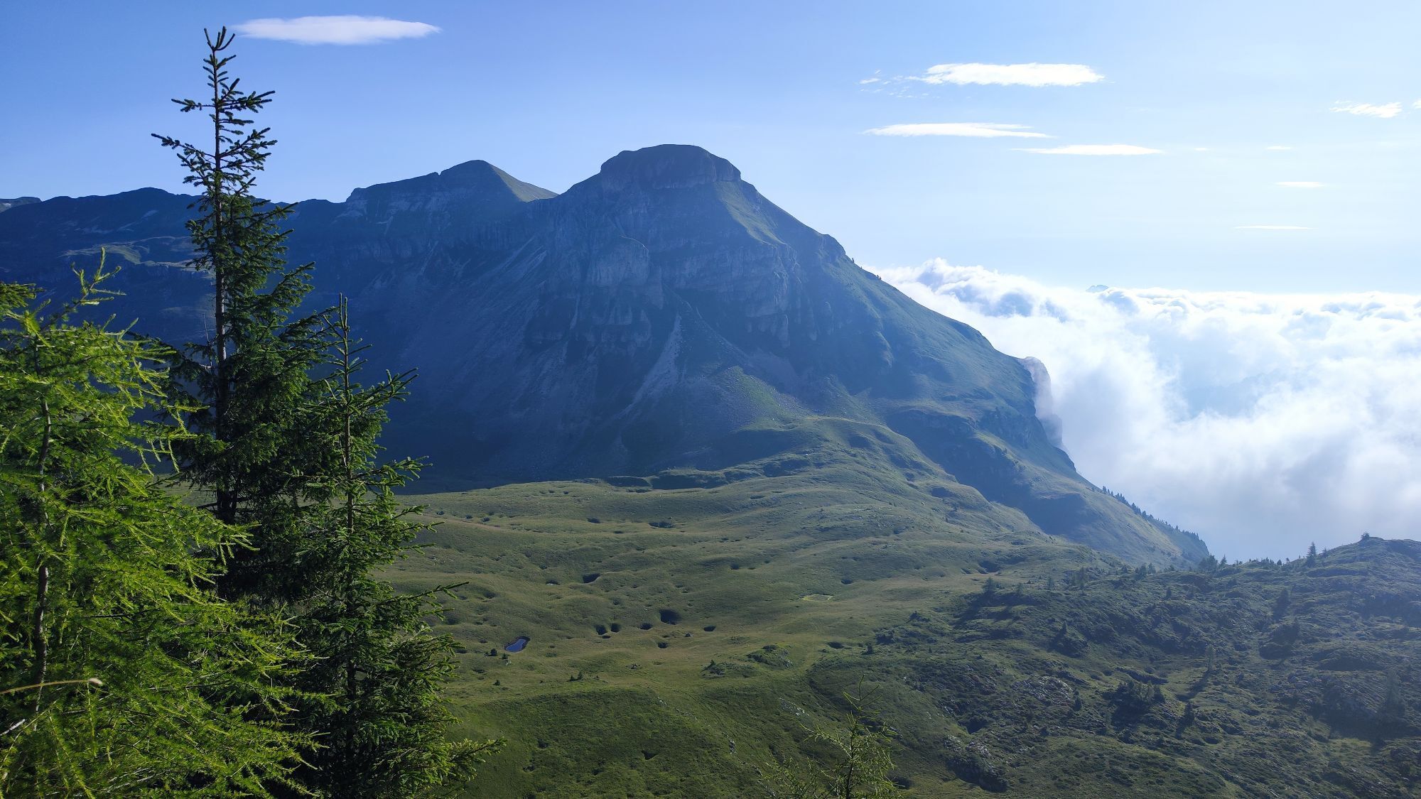
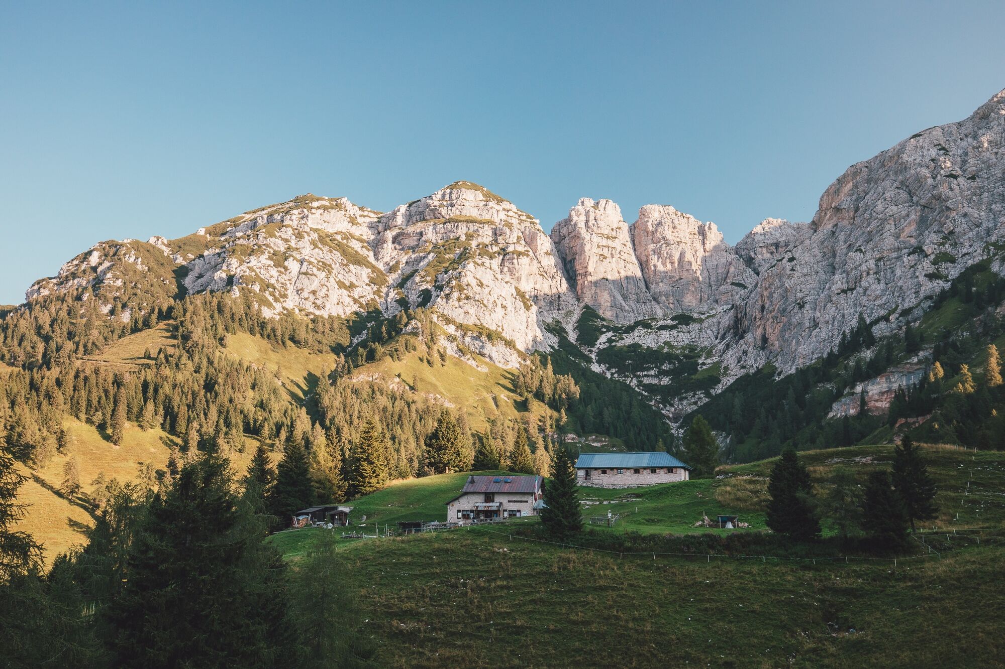
This stage crosses the Vette Feltrine, characterized by ridges, grassy ledges and glacial valleys called “Buse,” habitats of rare and precious botanical species. The route runs through a Strict Nature Reserve where respect for the trail is essential for preserving the local flora and fauna, including chamois and mouflons that animate these mountains. An environment rich in history and legends surrounds the itinerary up to Rifugio Giorgio dal Piaz.


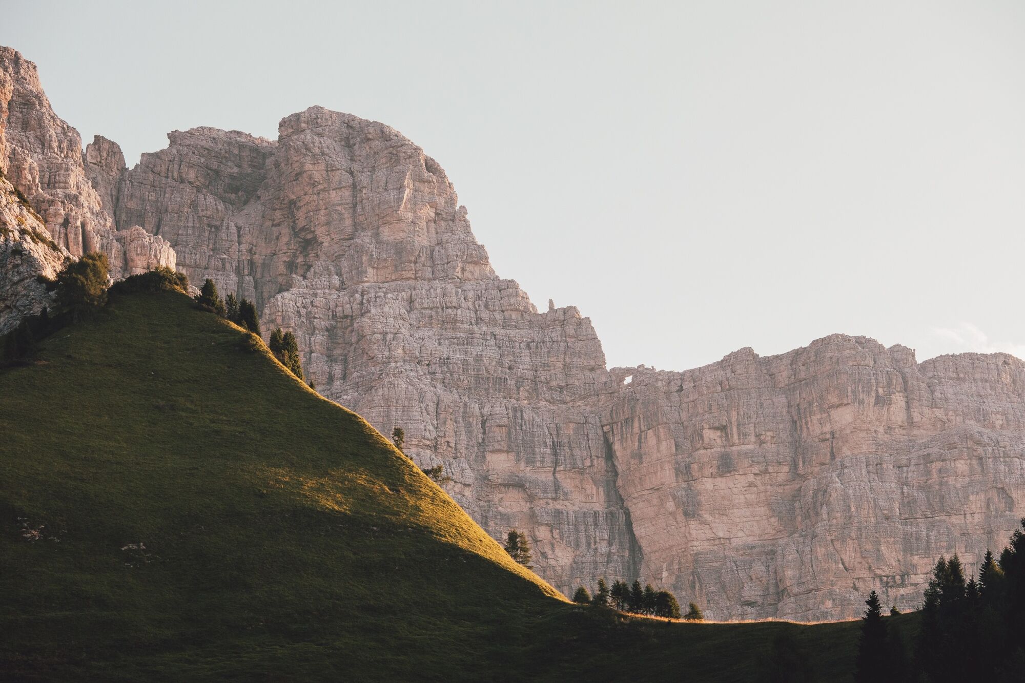
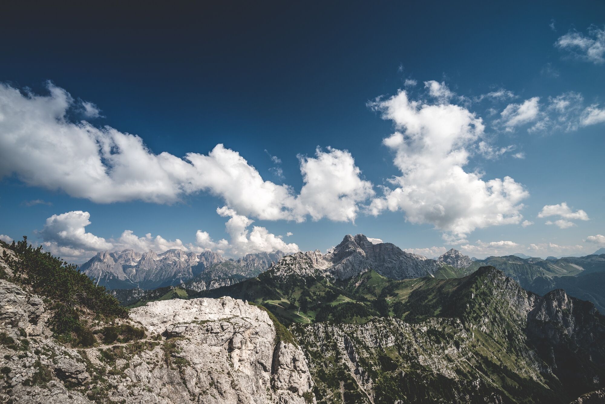
From Rifugio Boz, follow the CAI 801 trail towards Passo Finestra, then continue along the ridge of Monte Zoccarè Alto and Sasso Scàrnia (short exposed section). After passing Sasso Scàrnia, descend towards Forcella Scarnia and climb back up to Monte Ramèzza (2250 m).
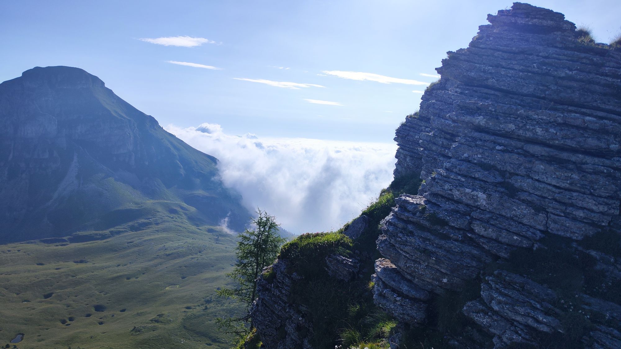
Crossing the “Piaza del Diaol” inside the Strict Nature Reserve, you reach Passo Piétena. Once out of the reserve, follow the military mule track through the Busa delle Vette to Rifugio Giorgio dal Piaz.
Tak
Tak
Tackling the Alta Via requires equipment suitable for high mountain. Essential gear includes trekking boots, telescopic poles, technical layered clothing, rain shell, gloves and hat even in summer.
Carry a sleeping bag liner (required in huts), first aid kit, sunglasses, sunscreen, powerbank, headlamp with spare batteries and a good map, to be supplemented with offline GPS apps.
Finally, a repellent spray and tweezers for ticks, increasingly present at altitude, are recommended.
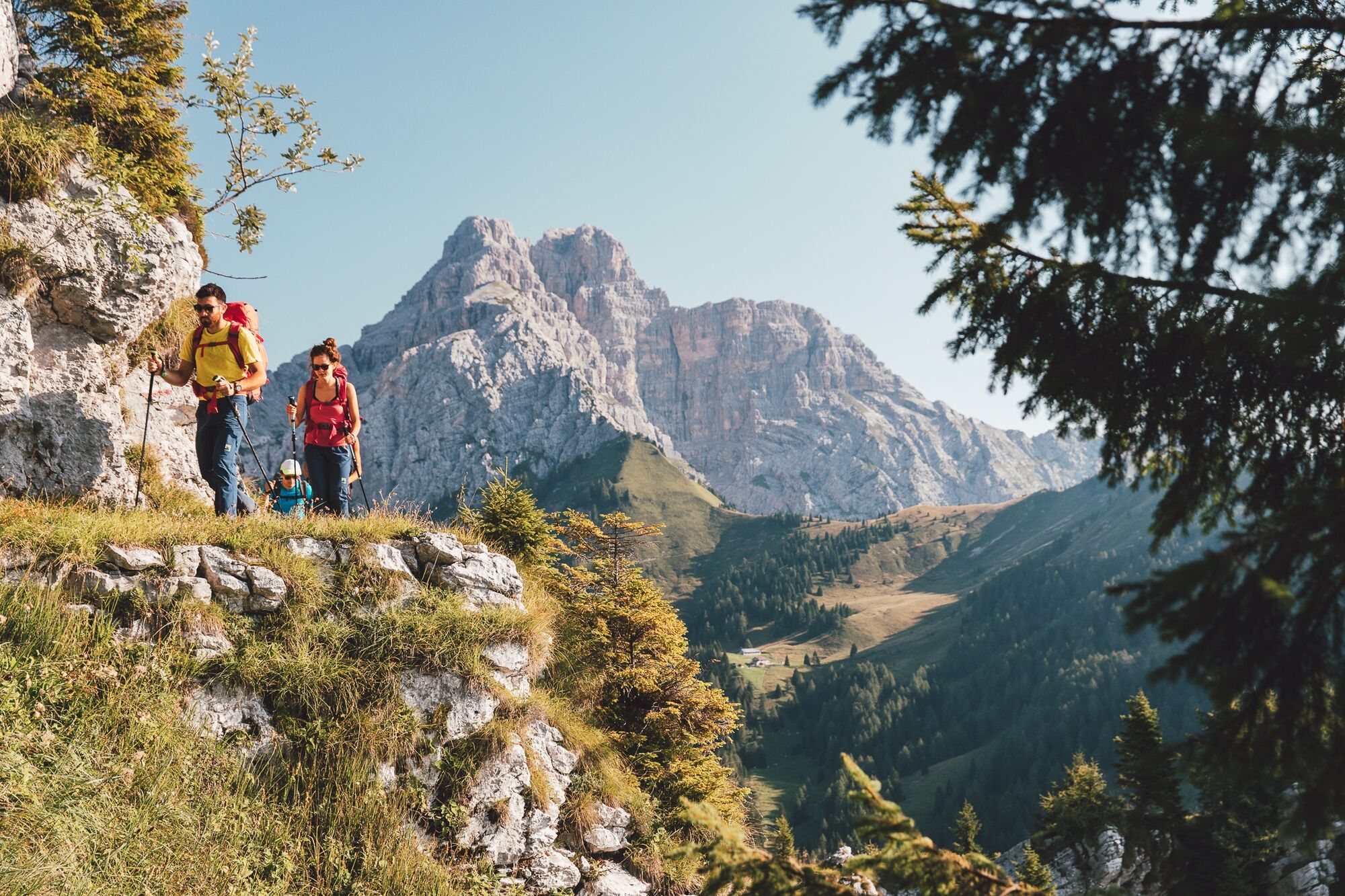
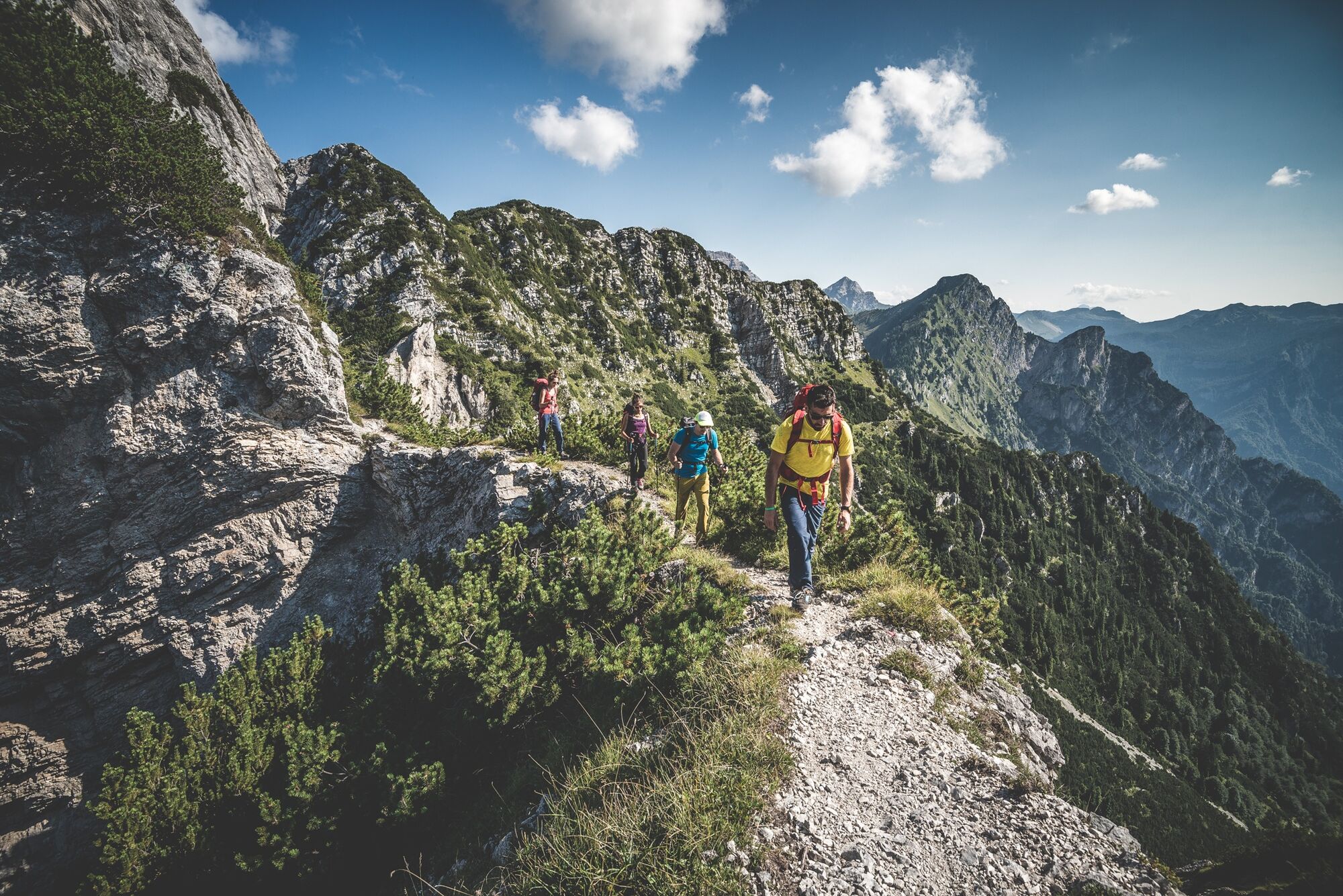
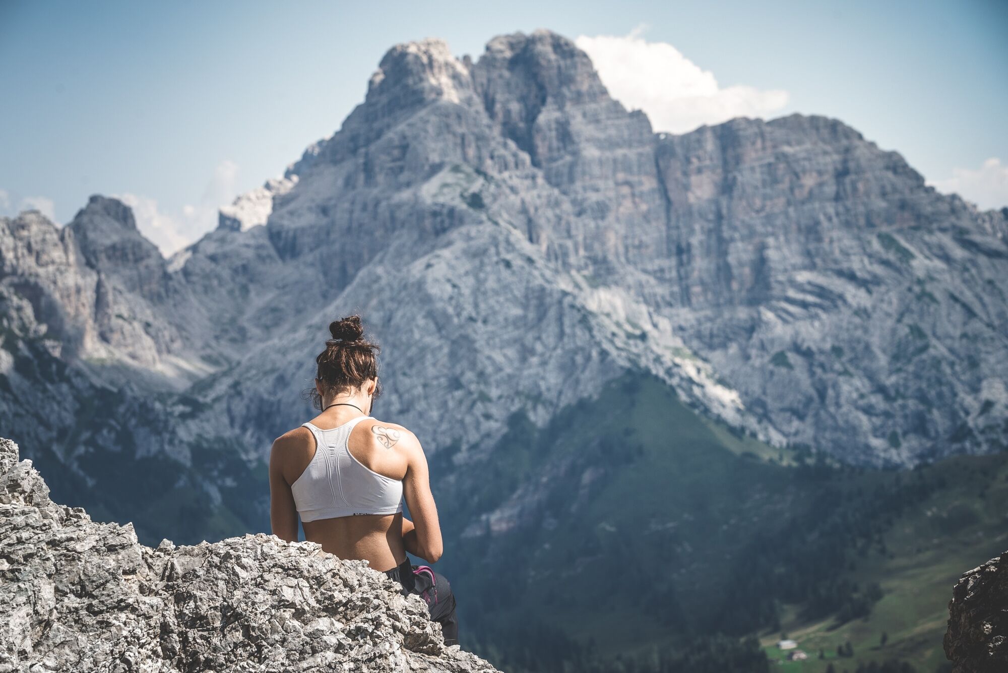
The Alta Via Dolomiti Bellunesi is a demanding trek, suitable only for experienced and well-trained hikers. The route features exposed sections, technical passages and requires sure-footedness, no vertigo and orientation skills, especially in the most isolated parts.
Signage (a purple bellflower) is present at key points but not always continuous: being able to navigate with map and GPS is essential.
Wild camping is not allowed: tent use is regulated and only possible with authorization at some huts. It is advisable to contact accommodation facilities in advance to check availability and book.
The recommended period to hike the Alta Via is from May to September, avoiding days with snow risk or immediately after heavy rain. Due to the exposure and length of the route, it is important to start light but well-equipped.
Follow the "three change rule": one set to wear, one clean in the backpack, one drying. Along the route there are huts and bivouacs, but organizing in advance is crucial, especially during high season.
For updated information on stages and GPS tracks, consult the official website of the Alta Via Dolomiti Bellunesi, also offering an email for direct contacts.
Popularne wycieczki w okolicy
-
Alta Via Dolomiti Bellunesi
ciężkidługodystansowy szlak pieszy 115,9 km -
Mezzano - Val Noana - Cordogné
średniWędrówka 5,88 km -
5,0
monte Pizzocco
średniWycieczki górskie 10,5 km -
Malga Boalon da solo
średniWędrówka 12,7 km -
2024-07-28 Lamon da La Fenadora Frassene Agana. Ritorno dal Lago Senaiga Fonzaso
średniWędrówka 40,3 km -
Lago di Noana
średniWędrówka 10,4 km -
AVDB - Stage 4: Miniere Val Imperina - Malga Erera
ciężkiWycieczka wysokogórska 18,5 km -
AVDB - Stage 5: Malga Erera - Val Canzoi – Rif. Boz
ciężkiWycieczka wysokogórska 13,1 km -
Dal RIF. Caltena a baita Cogolate e ritorno
światłoWędrówka 10,6 km -
Bridge route Lamon Lago Senaiga
średniWędrówka 7,65 km
Wędrówki i tropienie


Nie przegap ofert i inspiracji na następne wakacje
Twój adres e-mail została dodana do listy mailingowej.