






AVDB - Stage 5: Malga Erera - Val Canzoi – Rif. Boz

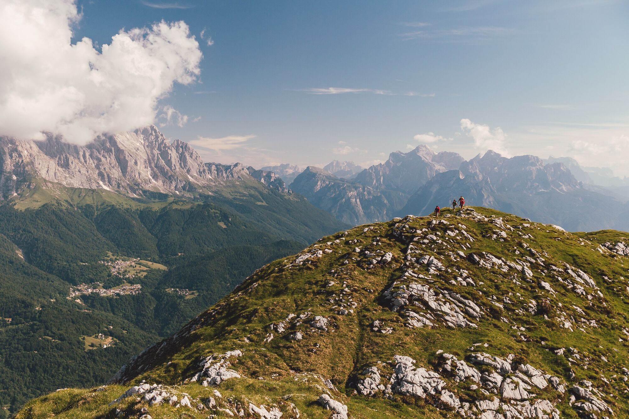
From the green meadows of the Piani Eterni, descend into the wild Val Canzoi, where you glimpse the Lago della Stua, nestled in the forest like an emerald. The path then climbs towards the open pastures...
From the green meadows of the Piani Eterni, descend into the wild Val Canzoi, where you glimpse the Lago della Stua, nestled in the forest like an emerald. The path then climbs towards the open pastures of Malga Alvis, among larches and silence, until reaching the Passo Alvis. Here the view opens on the southern Belluno Dolomites before gently descending to Rifugio Boz, immersed in an authentic and solitary alpine environment.

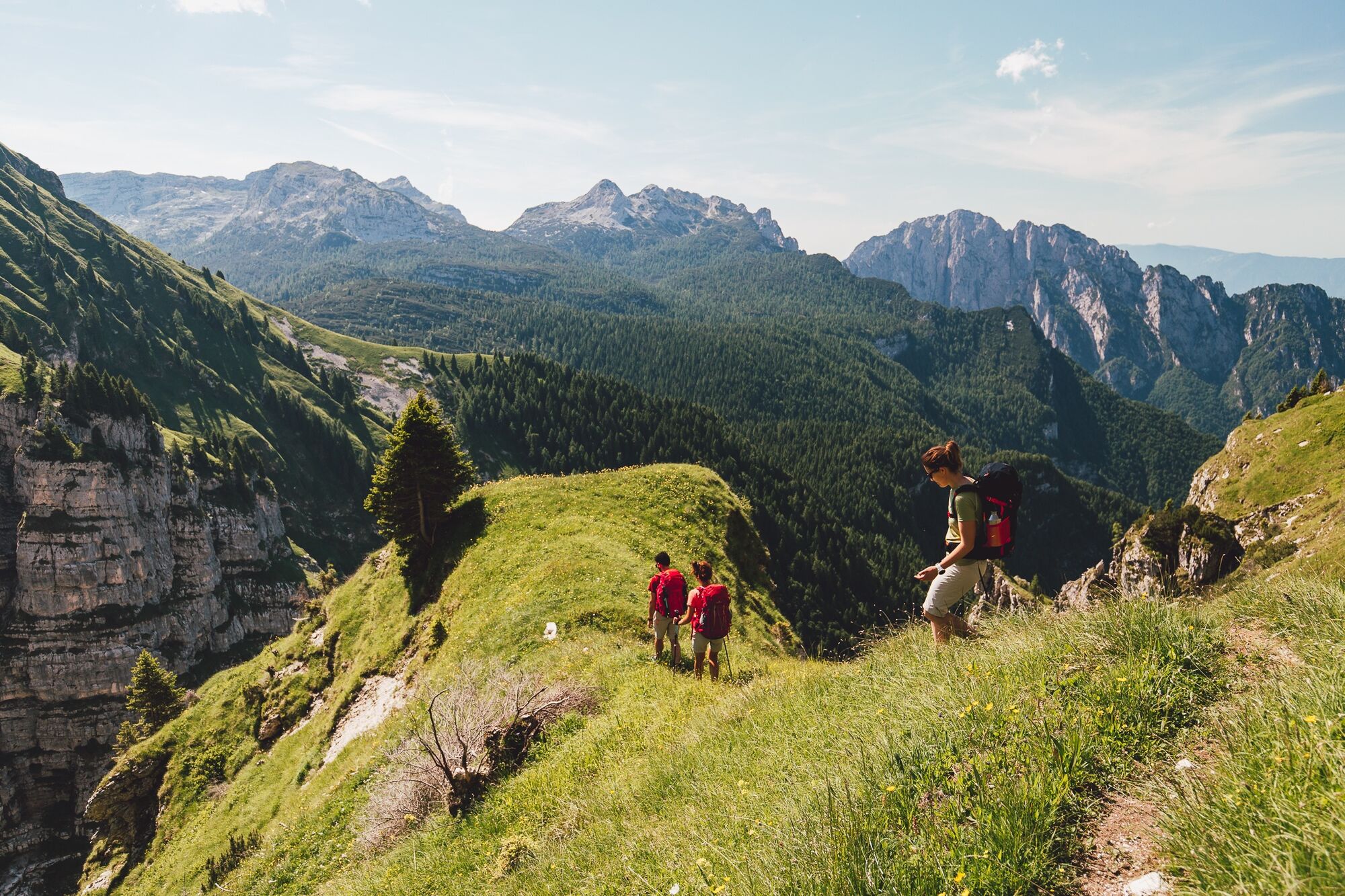
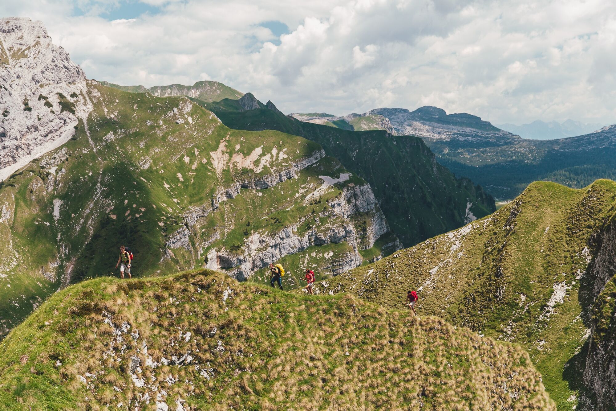
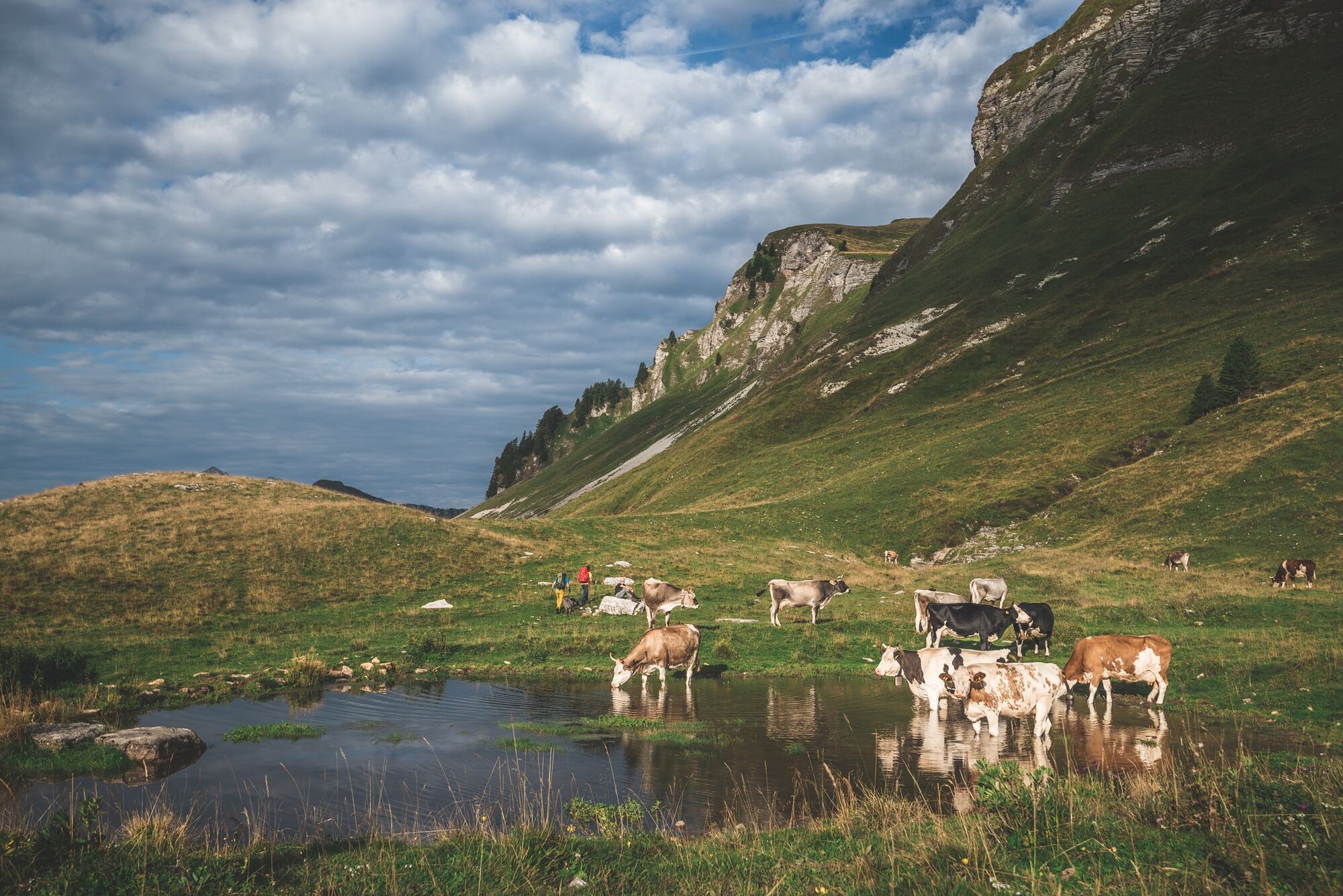

From Pian dei Piani Eterni, take the CAI 802 trail descending into Val Canzoi (the steep Porzil variant is optional).
You cross the valley road, which you almost immediately leave for a path on the left that crosses the Caorame stream and climbs towards Case Tumitano.
From there, take the CAI 811 trail towards Malga Alvis. The ascent progressively goes up through the forest, first on a dirt road then a path, up to the Alvis basin (possibility to stop at the hut and bivouac).
The climb continues in switchbacks towards the Passo di Alvis (1880 m). From here, briefly descend to the Rifugio Boz (1718 m) along the same CAI 811 trail.
Tak
Tak
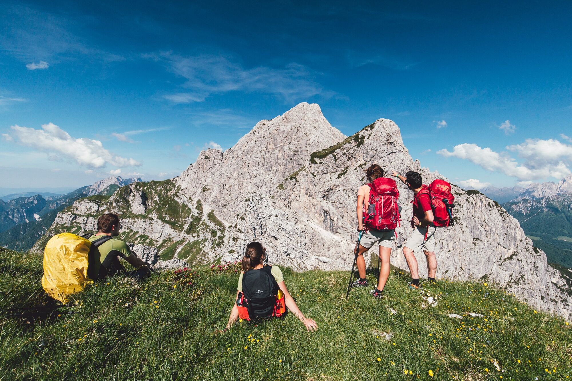
Facing the Alta Via requires equipment suitable for high mountain. Hiking boots, telescopic poles, technical layered clothing, rain shell, gloves, and a hat even in summer are essential.
Bring a sleeping bag liner (mandatory in refuges), first aid kit, sunglasses, sunscreen, powerbank, headlamp with spare batteries, and a good map, to be integrated with offline GPS apps.
Finally, a repellent spray and tweezers for ticks, increasingly present at altitude, are recommended.
The Alta Via Dolomiti Bellunesi is a demanding trekking suitable only for experienced hikers and well-trained. The route includes exposed sections, technical passages, and requires sure footing, absence of vertigo, and orientation skills, especially in the more isolated sections.
The signage (a purple bellflower) is present at key points but not always continuous: it is essential to be able to orient yourself with map and GPS.
Wild camping is not allowed: tent use is regulated and possible only with authorization at some refuges. It is advisable to contact accommodation facilities in advance to check availability and book.
The recommended period to hike the Alta Via is from May to September, avoiding days with snow risk or following heavy rains. Given the exposure and length of the route, it is important to travel light but well equipped.
Follow the "three change" rule: one to wear, one clean in the backpack, one drying. Along the route there are refuges and bivouacs, but it is essential to organize in advance, especially in periods of high attendance.
For updated information on stages and GPS tracks, consult the official Alta Via Dolomiti Bellunesi website, which also provides an email for direct contacts.
Popularne wycieczki w okolicy
-
4,8
Sospirolo, Veneto/Italia
Wędrówka 6,05 km -
4,7
Vich - Col di Luna - Passo del Col di Luna - Rifugio Scarpa - Gurekian all'Agner
średniWędrówka 12,1 km -
5,0
Belluna Valley Ring
średniKolarstwo długodystansowe 78,1 km -
5,0
Rifugio Rosetta "Giovanni Pedrotti" - Rifugio Pradidali
średniWycieczki górskie 12,9 km -
4,3
Croce d'Aune - Col di Luna - Monte Pavione - Cima di Monsampiano
ciężkiWędrówka 21,9 km -
4,5
Tonadico - Pian delle Lede - Rifugio Treviso
średniWędrówka 8,32 km -
Alta Via Dolomiti Bellunesi
ciężkidługodystansowy szlak pieszy 115,9 km -
Tonadico - Pedemonte - Rifugio Pradidali
średniWycieczki górskie 5,65 km -
Moena - San Pellegrino Pass - Cencenighe - Agordo - Forcella Aurine - Cereda Pass - Tonadico - Rolle Pass - Predazzo - Moena
ciężkiDroga rowerowa 124,2 km -
Mezzano - Val Noana - Cordogné
średniWędrówka 5,88 km
Wędrówki i tropienie


Nie przegap ofert i inspiracji na następne wakacje
Twój adres e-mail została dodana do listy mailingowej.





