


Furmint Trail Stage 3: Kőszeg - Heiligenkreuz in the Lafnitz Valley
From Kőszeg, you cycle along lightly trafficked country roads through peaceful Hungarian villages and finally through Bozsok. You remain in Hungary and reach the charming village of Narda with its notable...
From KÅszeg, you cycle along lightly trafficked country roads through peaceful Hungarian villages and finally through Bozsok. You remain in Hungary and reach the charming village of Narda with its notable village church from the 13th century. At the edge of the village, a rest area by a small pond invites you to take a break. Then you continue following the route and cross the Austrian border.
In Schandorf, you will find some historically significant highlights: as early as 750 BC, iron deposits, their smelting, and the trade of iron made the "iron barons" of this region wealthy. This is evidenced by the largest barrow cemetery in Central Europe with an impressive 285 giant burial mounds.
*Tip: From 2026, a "Barrow Cemetery Multimedia Room" related to this theme can be visited directly on the railway track cycle path in Schandorf (free admission).
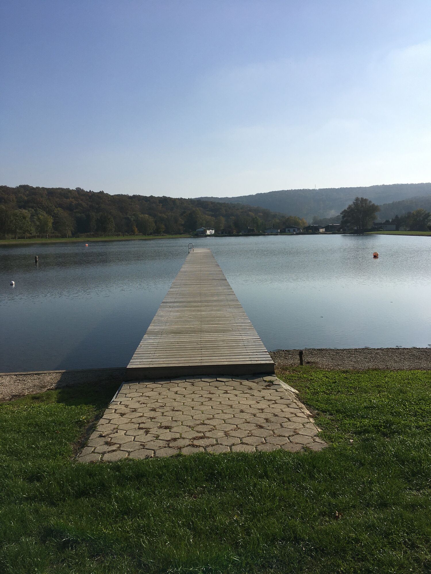
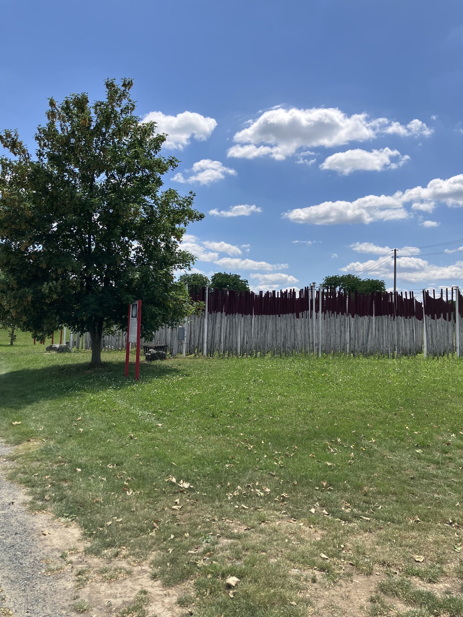
The route continues southwards, past the Burg bathing lake. You cross the Pinka and eventually reach Eisenberg, an elevation in the eponymous village. The "Weinblick" observation platform also offers a dreamy panorama. Not far from the route, you will find the vinotheque where you can sample red wine specialties of the region. Following the route, you cycle to the village of Höll and then to Bildein with its Burgenland history house, the border experience trail, and the Wine Culture House.
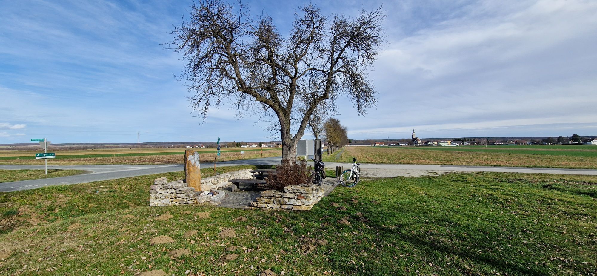
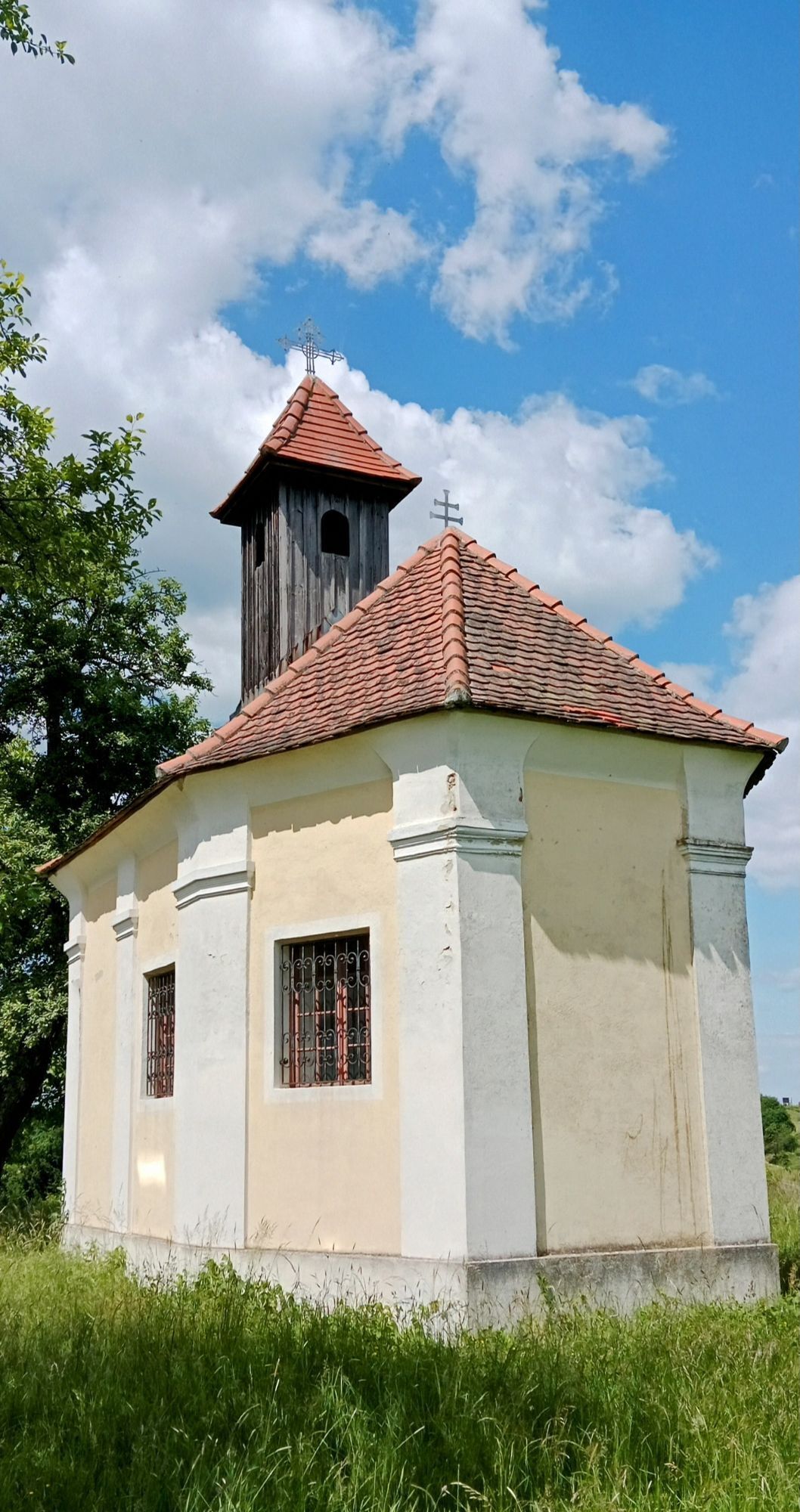
Passing through the communities of Eberau and Kulm, a short detour to the water castle Eberau is recommended; although it can only be viewed from the outside, it is still worth seeing. Continuing along the Pinkatal Wine Route, you reach the small pilgrimage church Maria Weinberg. To the east lies the village of Gaas with its listed parish church. Those longing for refreshment will find the Moschendorf water adventure world ideal. In Moschendorf, you will also find the wine museum and a vinotheque.
Afterwards, the route continues to Strem. A highly recommended detour is the community of Heiligenbrunn. This rustic village with its romantic cellar district, mostly still featuring straw-roofed wine cellars, is considered a stronghold of the legendary Uhudler with its fine wild berry aroma. On the Uhudler educational trail and in the show vineyard, you can learn more about this special wine and its history.
Over the Hammerlberg with its well-maintained vineyards and through the districts of Glasing and St. Nikolaus, you reach the small town of Güssing. Make sure to take time here to visit the imposing Güssing Castle, which stands on a mighty basalt rock. It is the oldest fortress in Burgenland and impresses with its view as well as the fascinating castle museum, which houses around 5,000 exhibits.
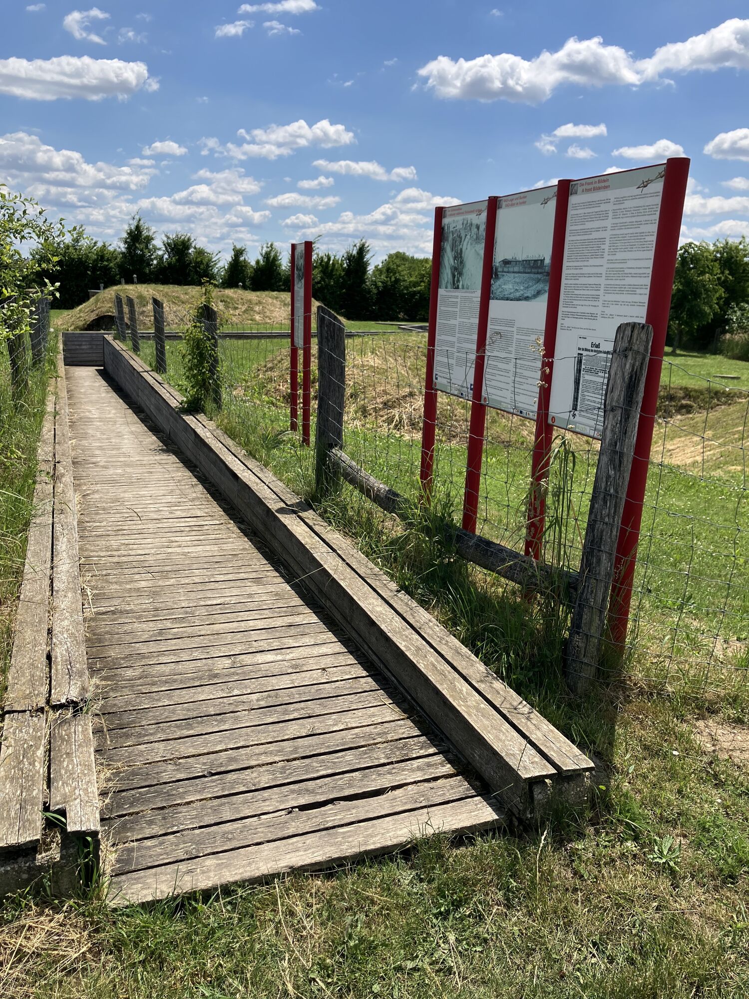
From Kleinmürbisch, you enjoy wonderful views over the gentle hills before reaching Inzenhof. A detour to the St. Emmerich Church is worthwhile – it lies on Hungarian soil and was during the Iron Curtain period in the so-called "no-man's land".
After crossing the wooded Steinerberg, you reach Heiligenkreuz in the Lafnitz valley.

Popularne wycieczki w okolicy
-
4,3
Railway track bike path
średniJazda na rowerze 41,6 km -
3,9
S23 Three Vineyards Circular Route
światłoWędrówka 14,1 km -
2,9
Paradiesroute
ciężkiKolarstwo długodystansowe 261,6 km -
3,2
Circular route (3) Pinkadurchbruch - Hiking in the wine idyll
średniWędrówka 11,2 km -
5,0
Hiking in the wine idyll: circular route (2) Eisenberg
światłoWędrówka 4,34 km -
4,4
Eisenberg, Csaterberg, Georgssee
ciężkiWędrówka 13,2 km -
3,5
Circular route (9) Kohfidisch - Csaterberg - hiking in the wine idyll
światłoWędrówka 6,61 km -
3,2
Hiking in the wine idyll: Güssing - Rosenberg circular route
światłoWędrówka 7,84 km -
B57 Weinidyll cycle route
ciężkiJazda na rowerze 90,8 km -
4,4
Wandern in der Weinidylle: Uhudlerrunde
światłoWędrówka 3,37 km
Wędrówki i tropienie


Nie przegap ofert i inspiracji na następne wakacje
Twój adres e-mail została dodana do listy mailingowej.