Nawigacja
Pobierz tę trasę na swój telefon komórkowy
Mapa
Harmaakallio outdoor route, Loviisa
światło
Wędrówka
2,85 km
Zeskanuj kod QR i rozpocznij nawigację w aplikacji bergfex.
QR Code
Wędrówki i tropienie

Harmaakallio outdoor route, Loviisa

Odległość
2,85 km
Czas trwania
01:00 h
Ascent
11 hm
Poziom morza
22 - 41 m
Ścieżka do pobrania
Mapa
Harmaakallio outdoor route, Loviisa
światło
Wędrówka
2,85 km

The Harmaakallio outdoor route is a so-called multi-use route. In summer it serves hikers and cyclists. In winter the route can be travelled on skis. The route passes through an undeveloped forest area,...

Opis

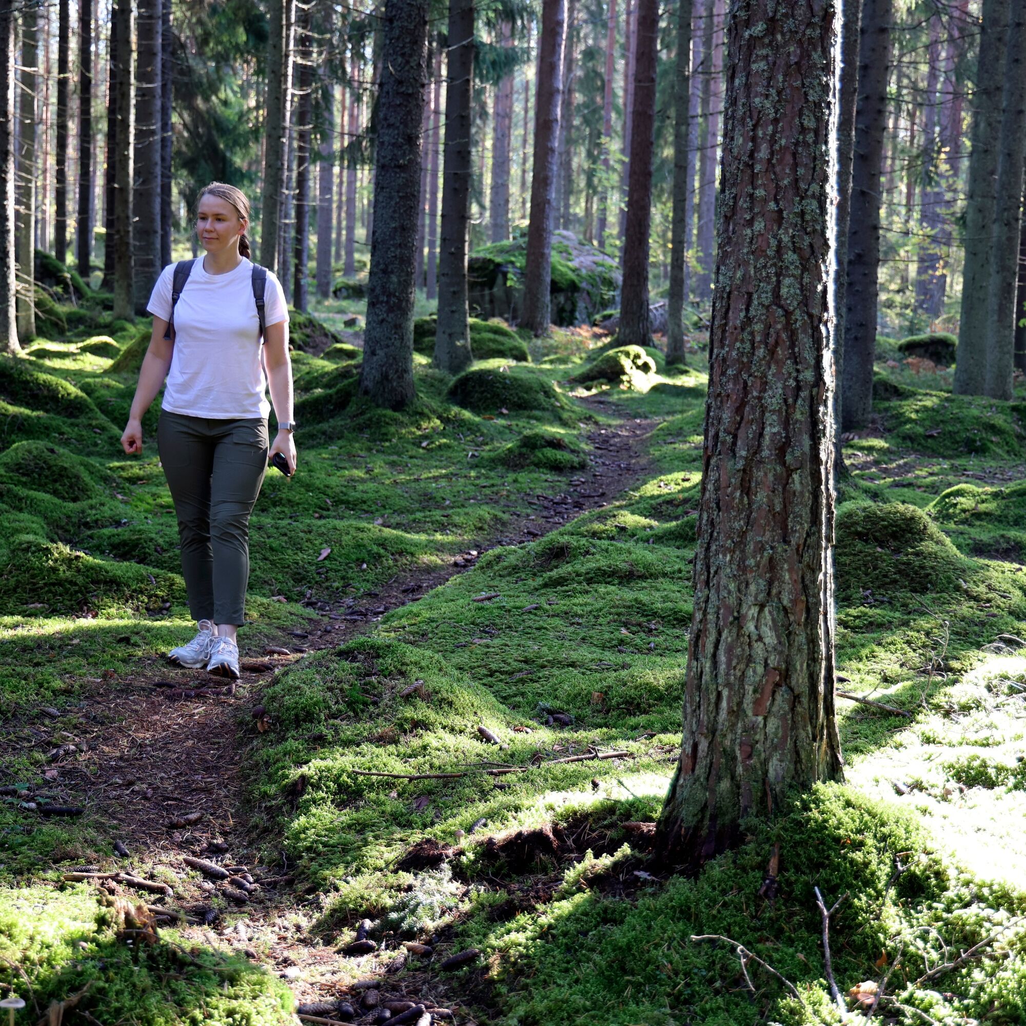
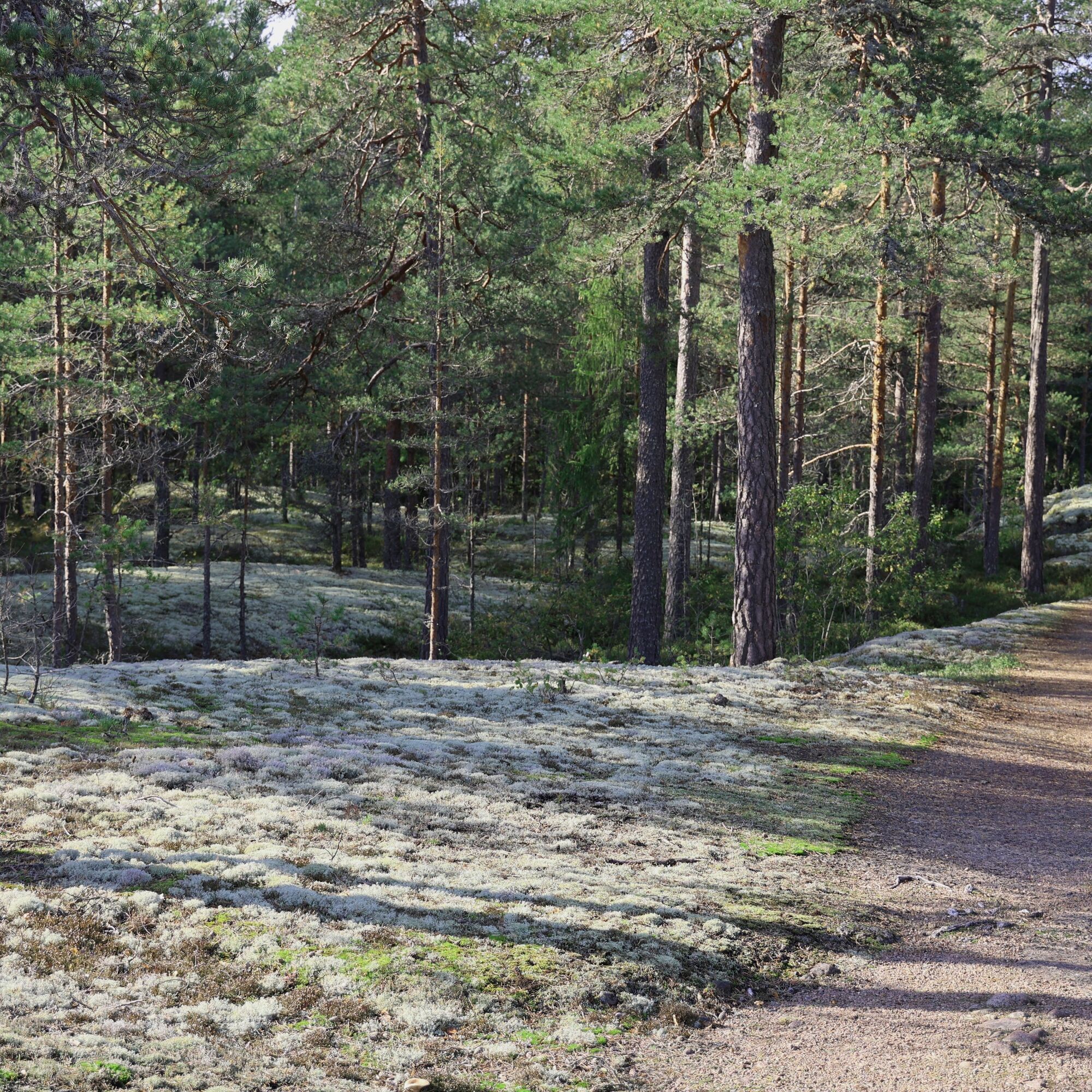
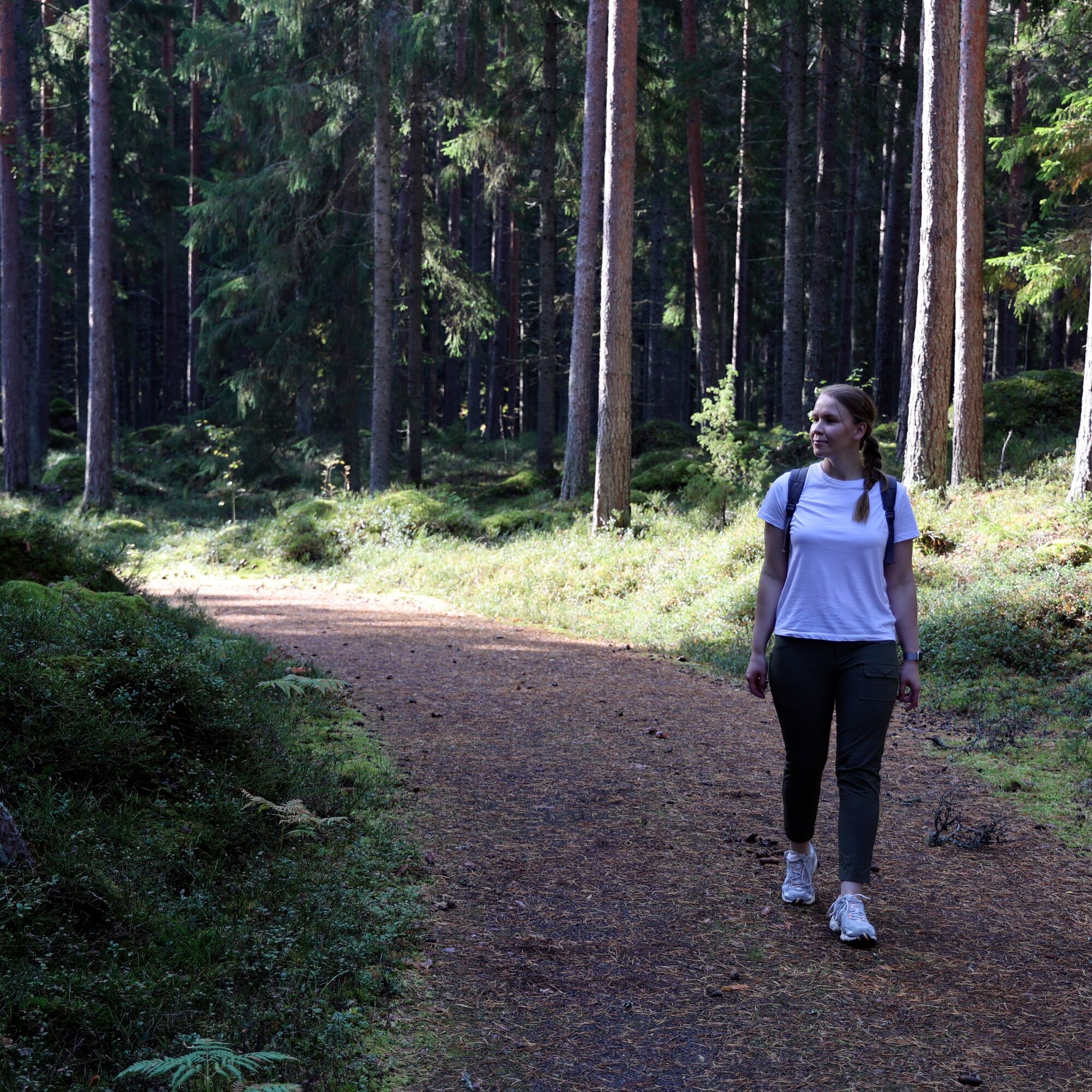
The Harmaakallio outdoor route is a so-called multi-use route. In summer it serves hikers and cyclists. In winter the route can be travelled on skis. The route passes through an undeveloped forest area, alternating between dark spruce forests and weathered rock outcrops. The route follows a bottomless track, and there are no steep elevation changes on the route, so it suits travelers of many skill levels.

Trasa
Trasa
Mapa
Harmaakallio outdoor route, Loviisa
światło
Wędrówka
2,85 km
Informacje o wycieczce

West of Loviisa town center, on the Harmaakallio outdoor route, you can quickly find peace in the midst of nature.

Technologia
n.d.
Stan
2 / 6
Krajobraz
5 / 6
Doświadczenie
4 / 6
Dostępny przez cały rok
Sty
Lut
Mar
Kwi
Maj
Cze
Lip
Sie
Wrz
Paź
Lis
Gru
Autor
Dostarczone przez Visit Kotka-Hamina
Logo
Udostępnij trasę
Mapa
Harmaakallio outdoor route, Loviisa
światło
Wędrówka
2,85 km
Błąd
Wystąpił błąd. Spróbuj ponownie.
Informacje o trasie
Trasa

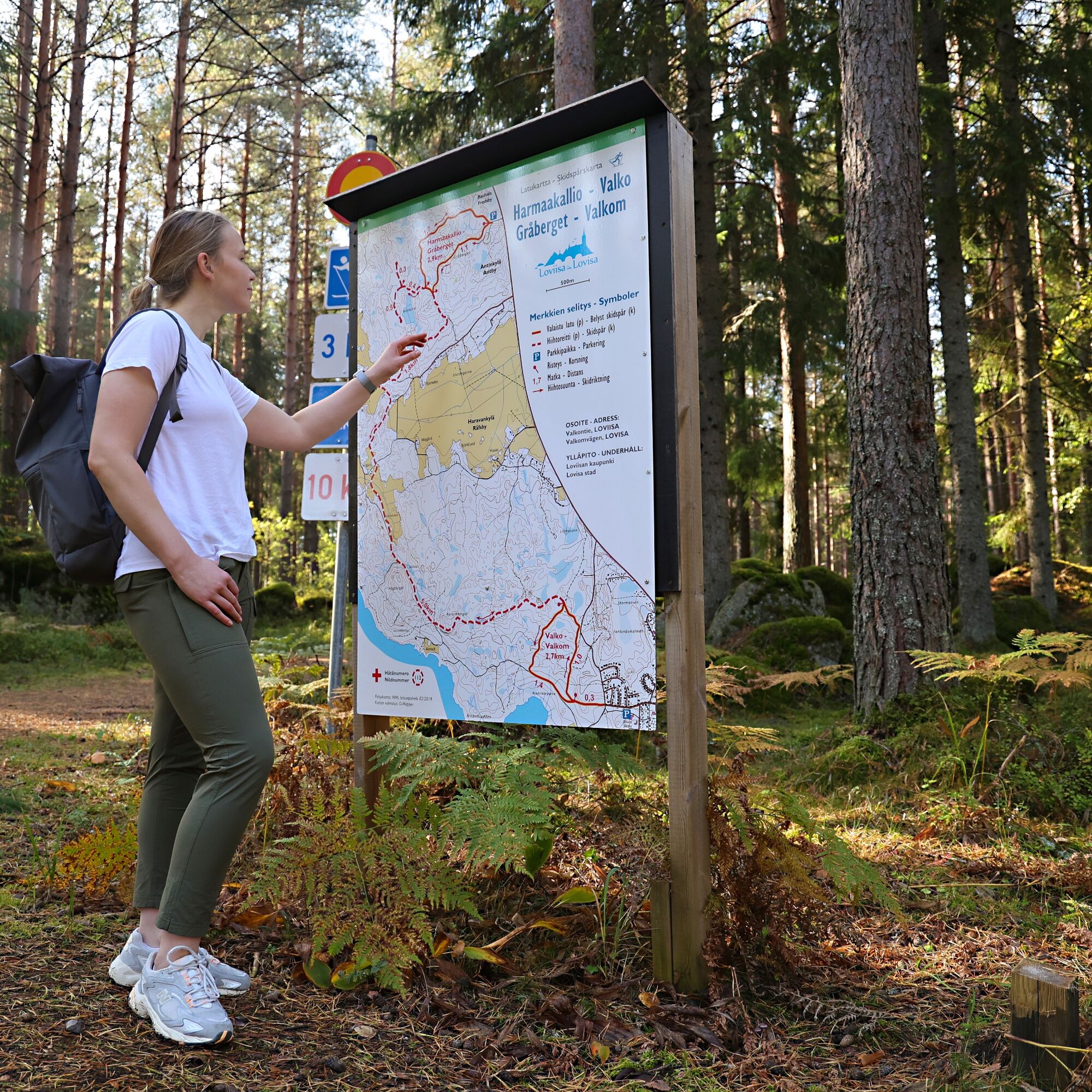
At the start point of the route there is a route map, along with signposts at the track's branching points. Following the track, there is no risk of getting lost.

Nadaje się do wózków dziecięcych

Tak

Odpowiedni dla rodzin

Tak

Sprzęt

The route is quite manageable with sneakers

Informacje o przyjeździe
Przybycie

Coming towards Loviisa on motorway E-18, take ramp number 66 and continue to the destination according to the instructions

Transport publiczny

The route is not accessible by public transport.

Parking

There is a large parking area at the starting point

Dodatkowe informacje i wskazówki
Wskazówki

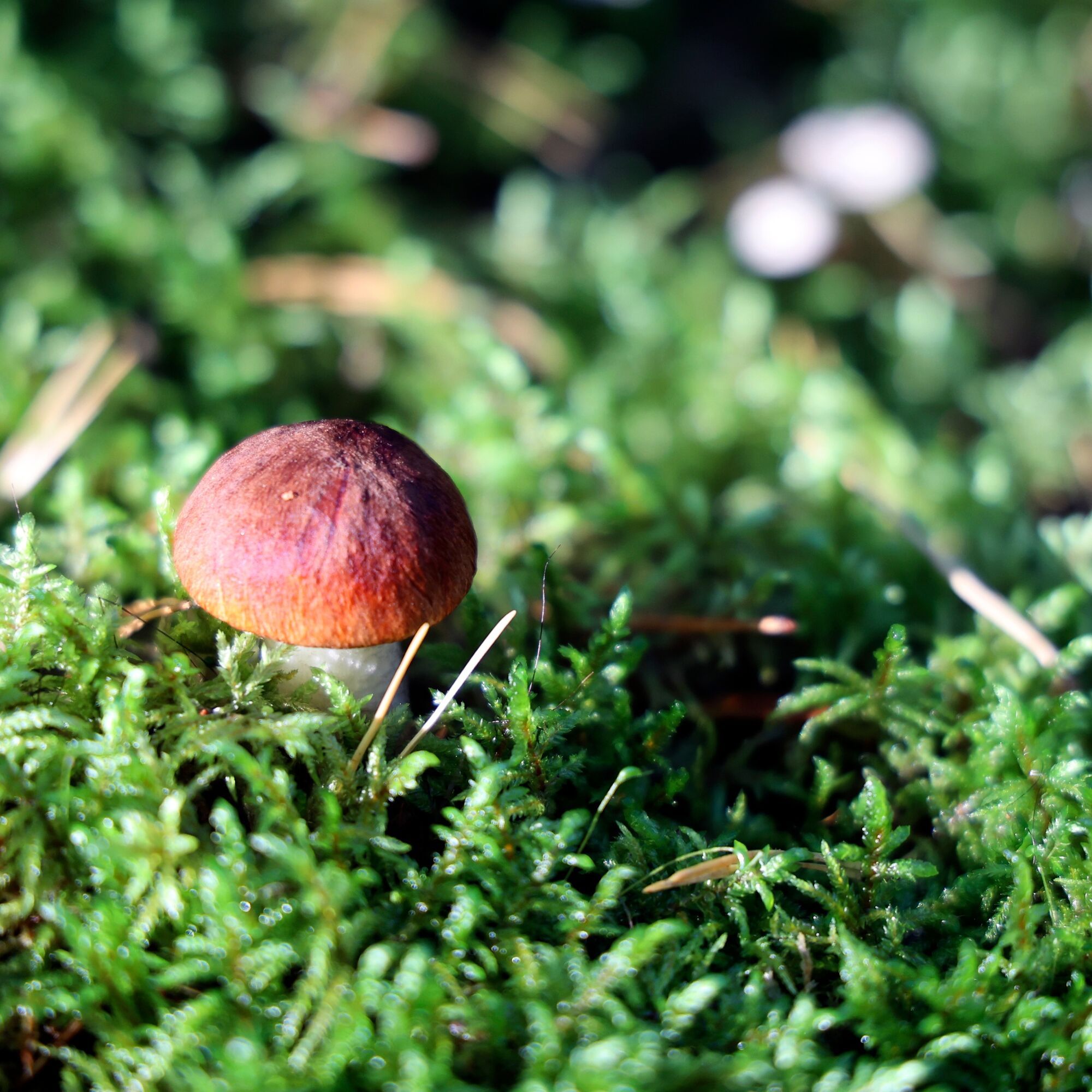
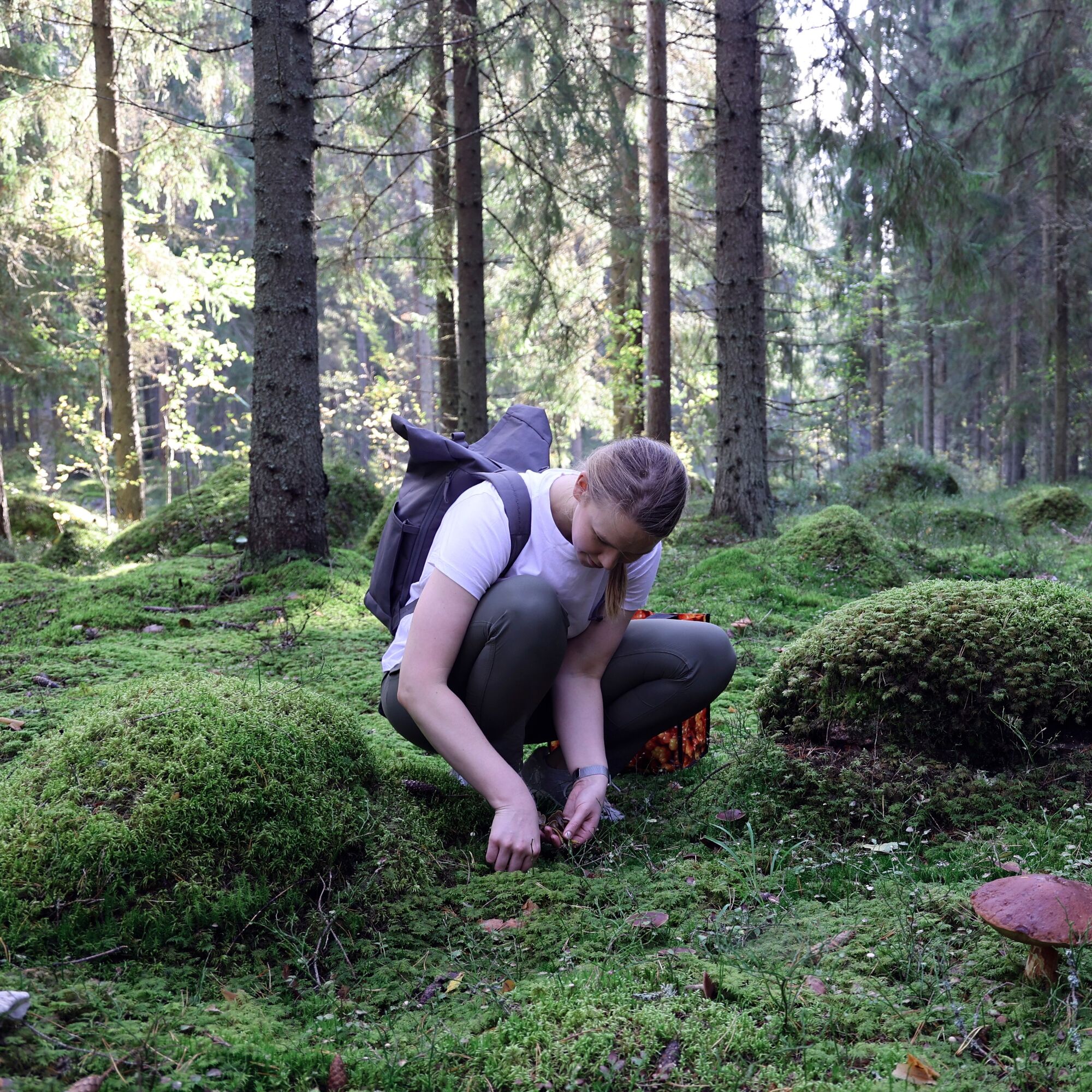
There are excellent mushroom grounds along the route
There are no rest areas along the route

Nie ma jeszcze recenzji
Napisz recenzję

Recenzje pomagają innym użytkownikom wybrać kolejną przygodę. Oceniaj tylko trasę, a nie pogodę lub przekąskę.

Wybierz jedną z gwiazdek, aby ocenić wycieczkę
Zła trasa
Słaba trasa
Przeciętna wycieczka
Dobra wycieczka
Doskonała wycieczka
Wędrówki i tropienie

Wędrówki i tropienie

Wędrówki i tropienie
Ponad 550.000 propozycji wycieczek, szczegółowe mapy i intuicyjny planer tras sprawiają, że aplikacja jest niezbędna dla wszystkich entuzjastów przyrody.
bergfex