





March Panorama Bike Route
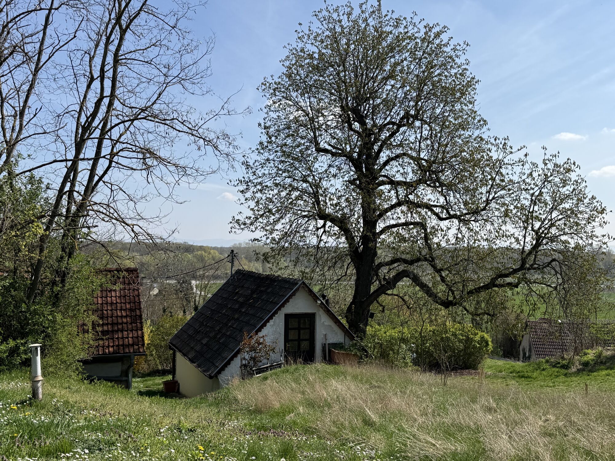
Gentle wine hills, wide fields, and romantic cellar hills – contrasted by primeval floodplain forests and mysterious oxbows of the March. On this individually plannable one- to two-day route, there is...
<p>Gentle wine hills, wide fields, and romantic cellar hills – contrasted by primeval floodplain forests and mysterious oxbows of the March. On this individually plannable one- to two-day route, there is much to learn, observe, and taste on both sides of the border!</p>

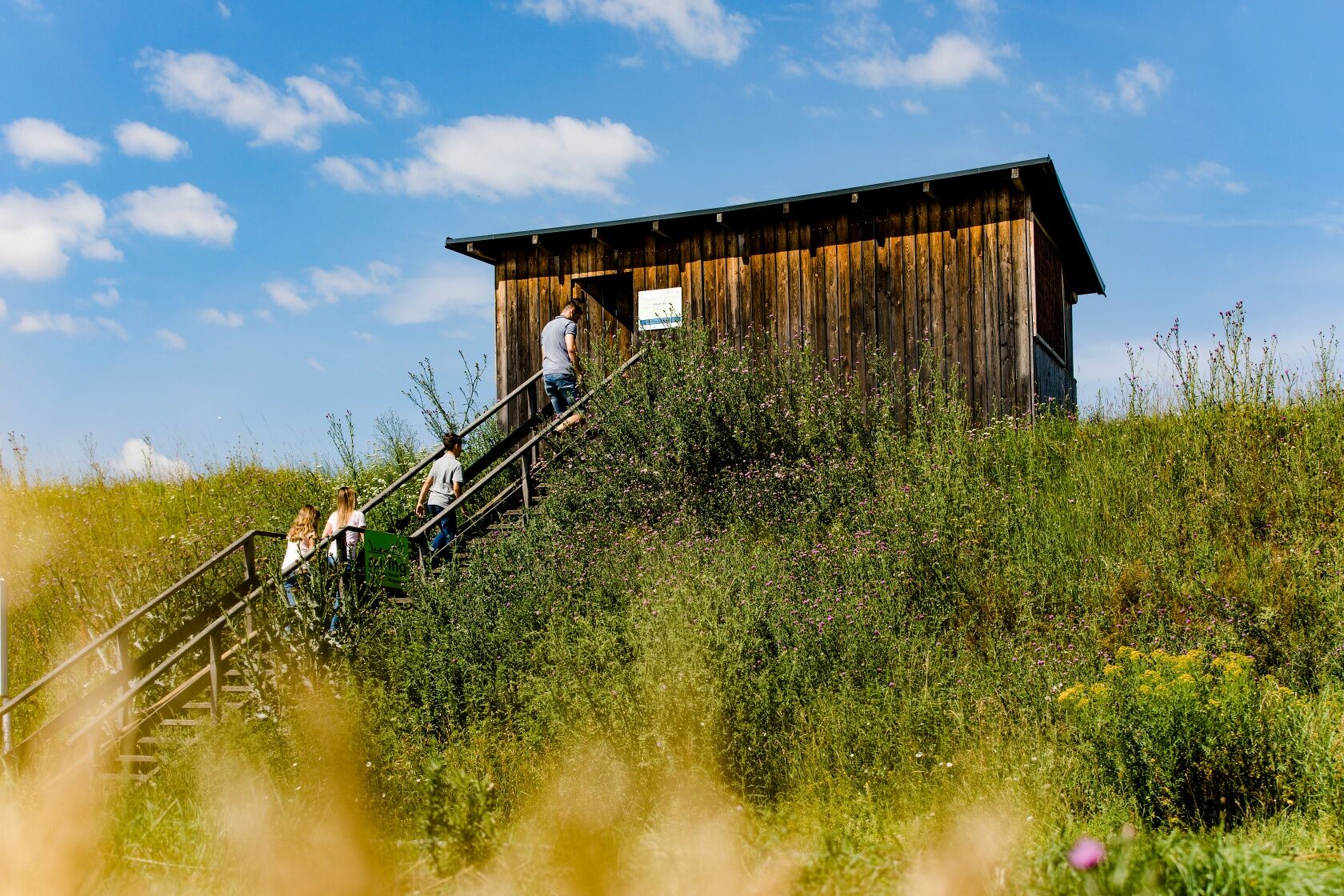

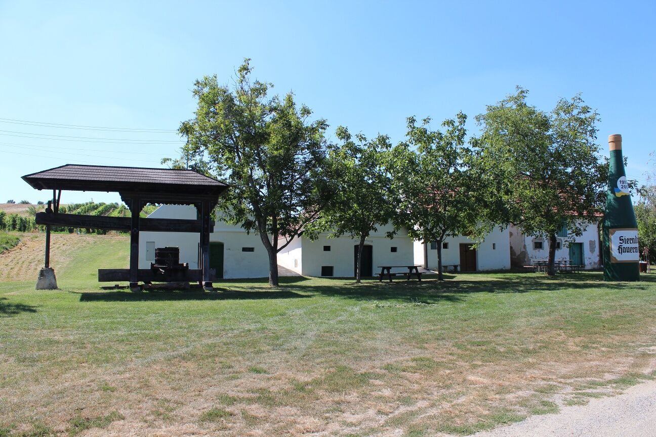

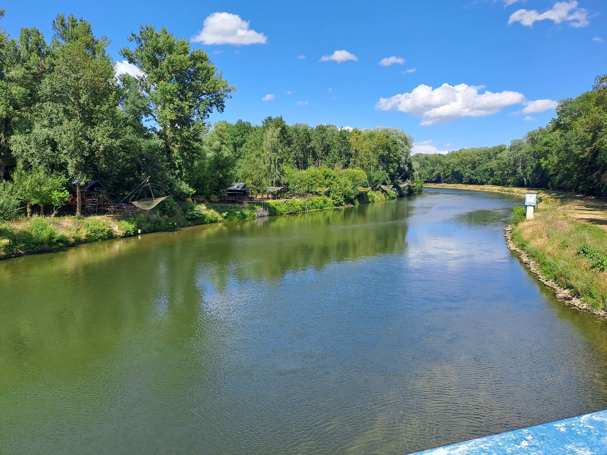
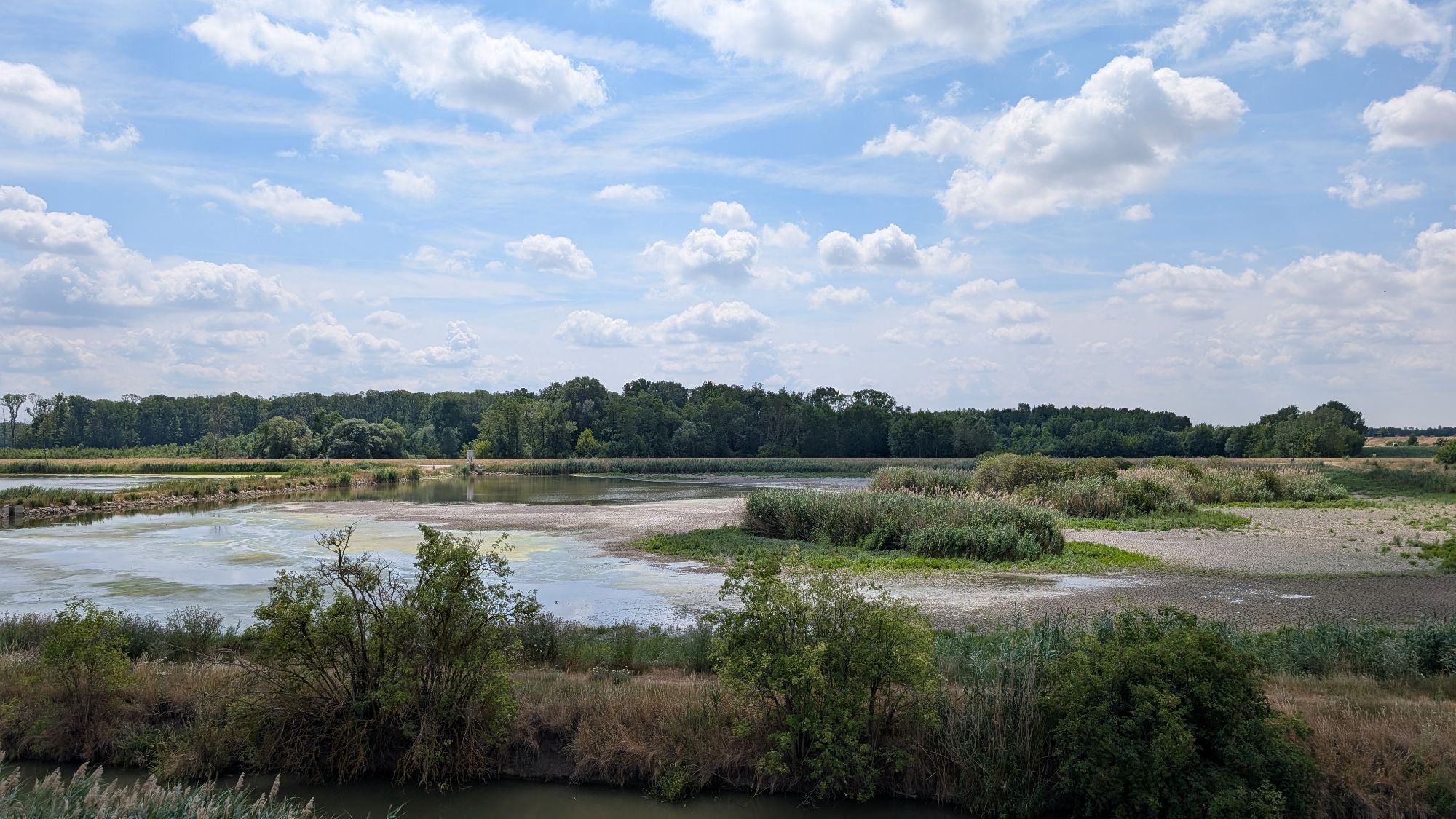
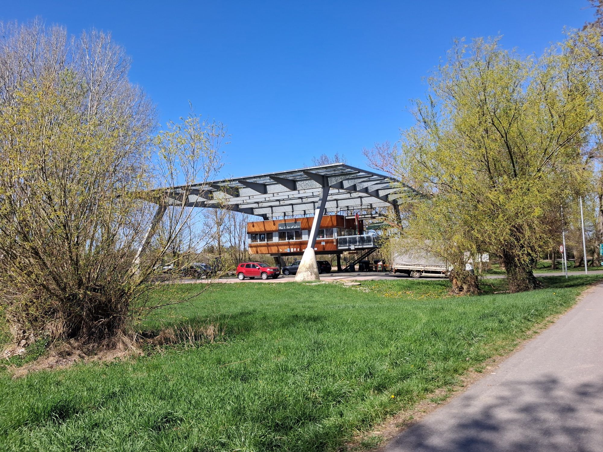
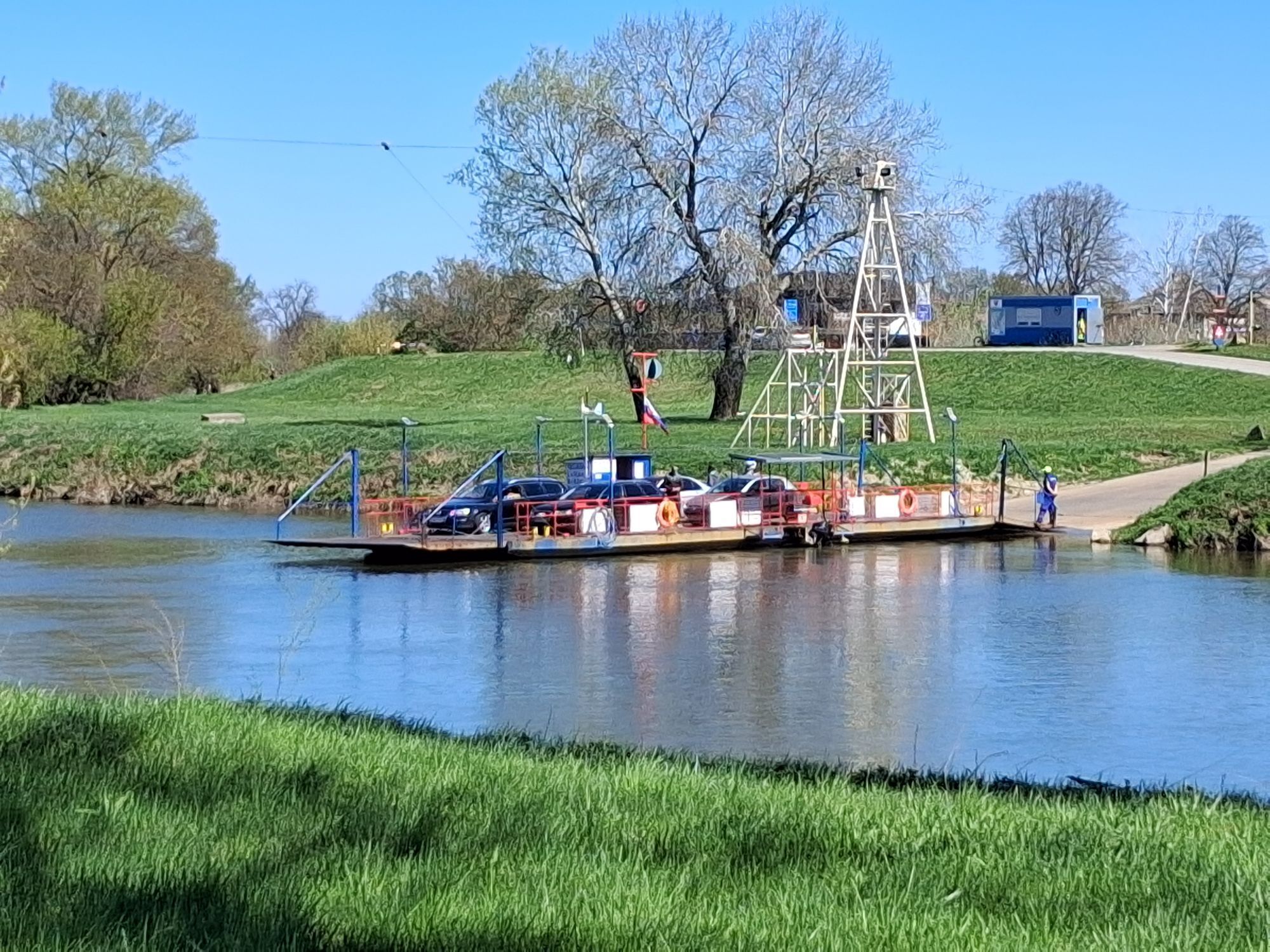
<p>The cross-border “March Panorama Bike Route” leads you into the area of the March-Thaya floodplains, which are among the most beautiful and interesting floodplain landscapes in Central Europe and one of the best-kept secret tips. It can be done either as a one-day or two-day route.</p><p>The starting point of this route is Angern an der March. From Angern, you cycle to Mannersdorf an der March, where you should not miss the particularly beautiful cellar hill “Wutzelburg” with the baroque Rochus Chapel. Then continue to Stillfried, where you have the opportunity to explore the “Center of Prehistory.” Via Waidendorf, you reach Dürnkrut (Dürnkrut Castle) and further through the battlefield of King Ottokar of Bohemia and Rudolf of Habsburg from 1278, followed by 640 years of Habsburg rule in Austria, to Jedenspeigen (Jedenspeigen Castle).</p><p>From the cellar hill at Jedenspeigen, you ascend 200 m on the Goldberg, where at the Papal Chapel you can enjoy a wonderful view over the March floodplains to the Carpathians in Slovakia. Upon arriving at the Sierndorf cellar lane, you can dive deep into the mysterious cellar tunnels underground and learn a lot about press houses, wine culture, and viticulture while tasting the wines.</p><p>Passing the “bird observation places,” you finally reach Hohenau an der March. Here you have two options: you can end the route and take the train back to the starting point or stay overnight in Hohenau and cycle back the next day on Slovak territory. On this section, the sand dune “Moravny vrch” and bathing opportunities await you. Via the border crossing Záhorská Ves (Ungeraiden)/Angern, which you cross by ferry, you return to the starting point. (Note: This border crossing is closed during floods, extreme low water, and ice formation!)</p><p>Important: Don't forget your passport!</p>
<p>Angern an der March can be reached directly by car from Vienna via the federal road “B8”.</p>
<p>Coming from Vienna, there is a direct train connection via Gänserndorf to Angern an der March.<br />From Breclav via Bernhardsthal, Angern an der March can also be reached.</p>
<p>Parking is available directly at the station.</p>
In the Weinviertel, there are over 100 bike partner businesses that especially cater to the needs of cyclists. A list of all businesses can be found on our bike partner page. Using the filter function, you can comfortably display the businesses for the desired bike route. Further filtering enables you to find suitable accommodations or gastronomy establishments.
Popularne wycieczki w okolicy
-
4,8
NaturaTrail - Die Marchauen bei Marchegg
światłoWędrówka 14,2 km -
4,8
Marchegg - Marchauen - Marchegg
Wędrówka 8,50 km -
4,0
Matzner Hügel und -Wald
światłoWędrówka 12,0 km -
5,0
Auwanderweg
Wędrówka 7,16 km -
4,5
Traminertour
średniJazda na rowerze 60,1 km -
5,0
Marchwanderweg
Wędrówka 5,70 km -
4,5
Panoramawanderweg
Wędrówka 10,7 km -
4,0
Spannberg runde
światłoWędrówka 13,3 km -
Grenzgänge mit Boot 3: Thaya - March - Donau
światłoKajak / Canoe 98,9 km -
4,5
March 2 - von Dürnkrut bis Wolfsthal
światłoKajak / Canoe 56,9 km
Wędrówki i tropienie


Nie przegap ofert i inspiracji na następne wakacje
Twój adres e-mail została dodana do listy mailingowej.





