






Buse Lake
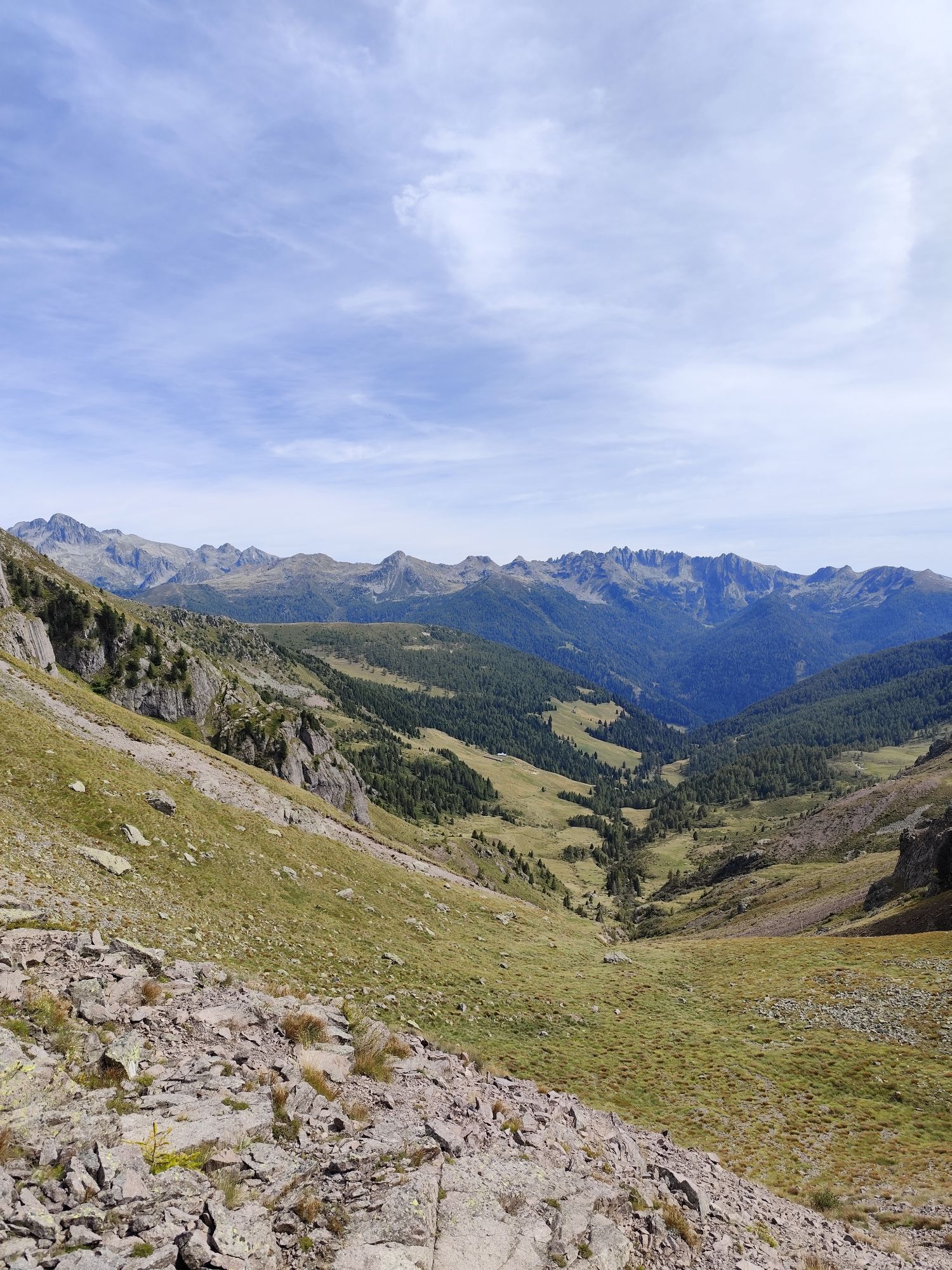
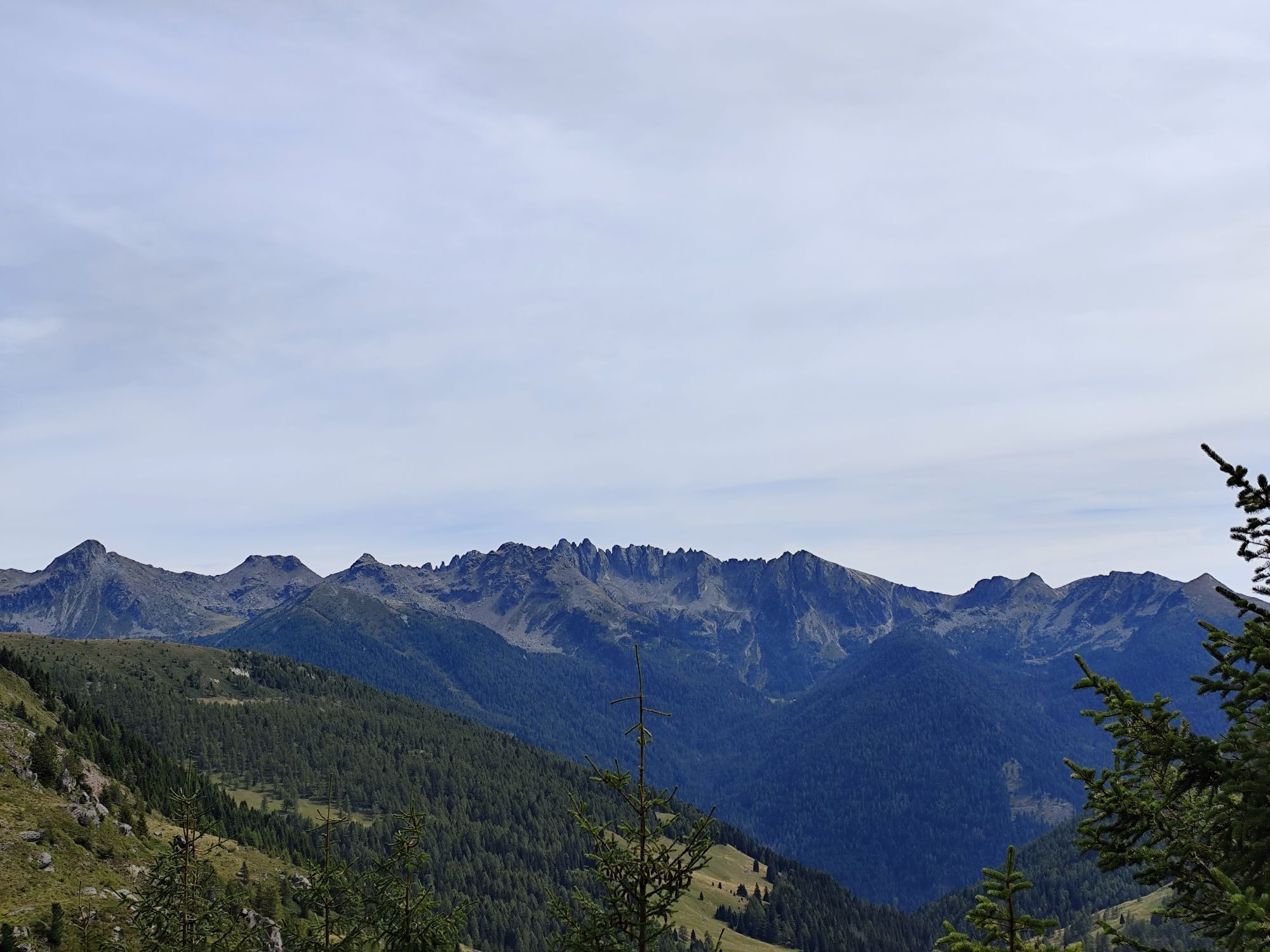
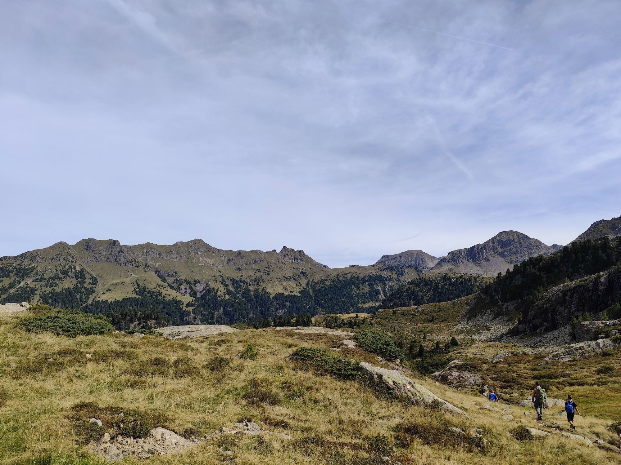
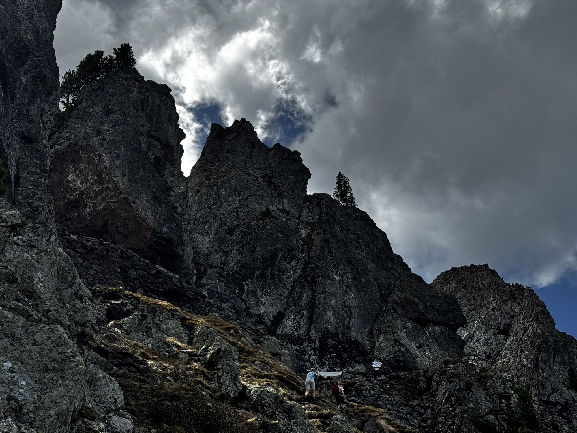
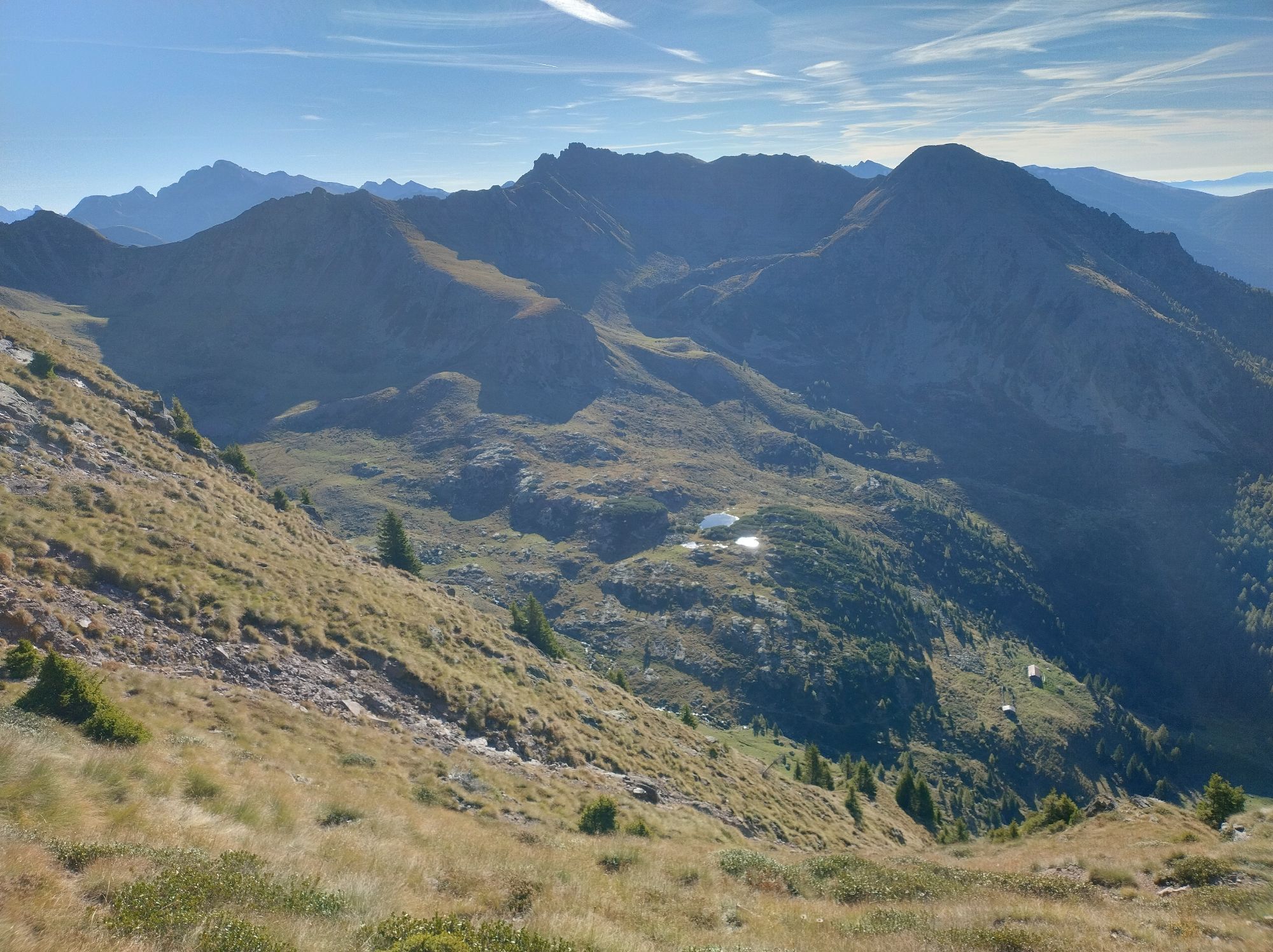
Passo Manghen is where the main Lagorai chain begins. Classic ring tour that gives hikers great horizons, stony peaks and the typical vegetation of the high mountains.
The main goal in our itinerary, Lake...
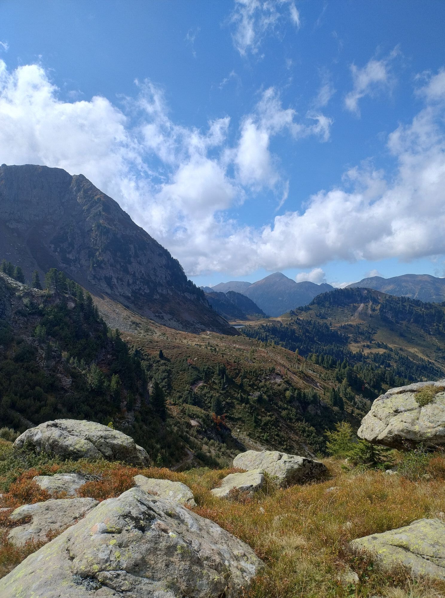
Passo Manghen is where the main Lagorai chain begins. Classic ring tour that gives hikers great horizons, stony peaks and the typical vegetation of the high mountains.
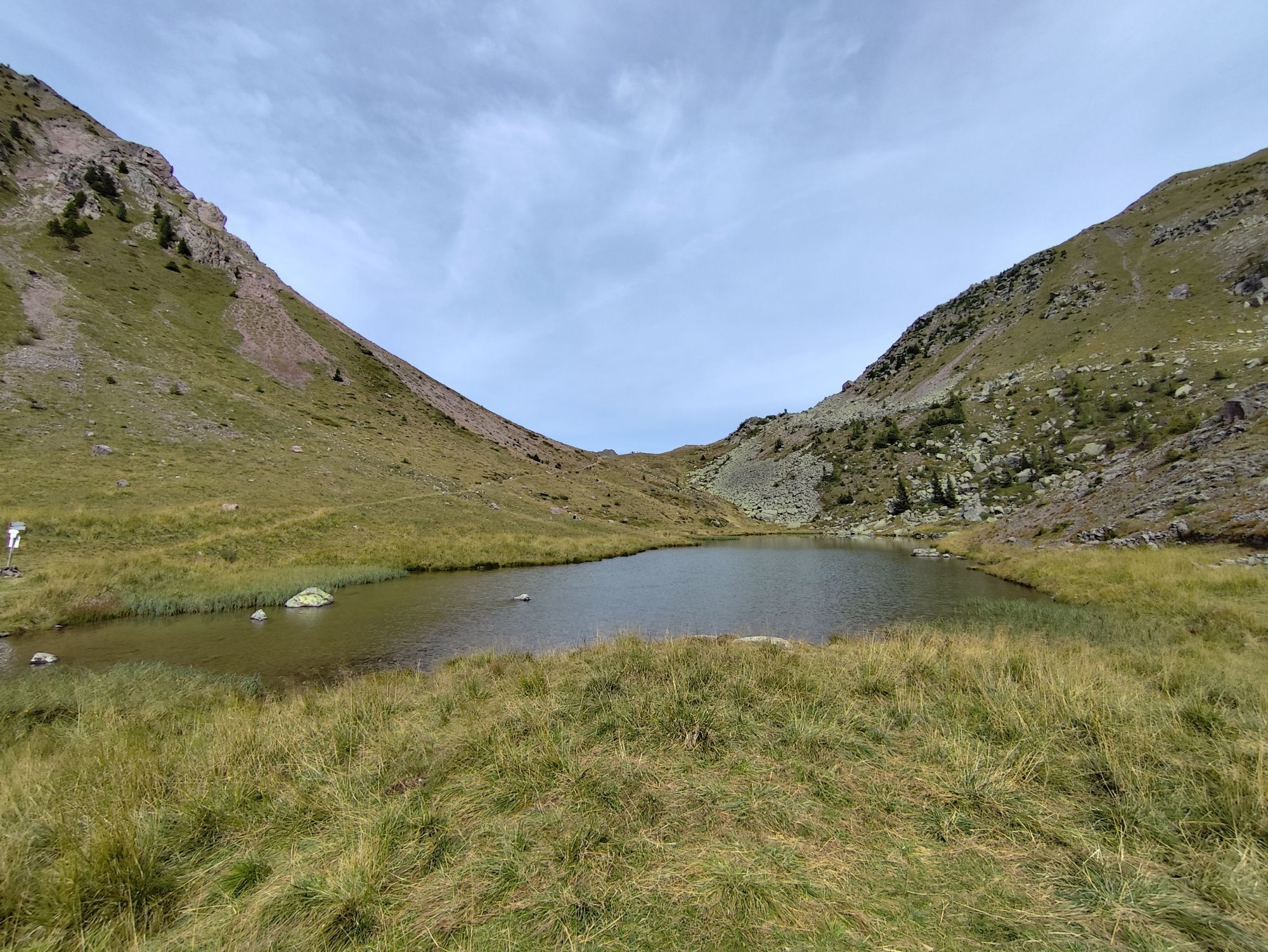
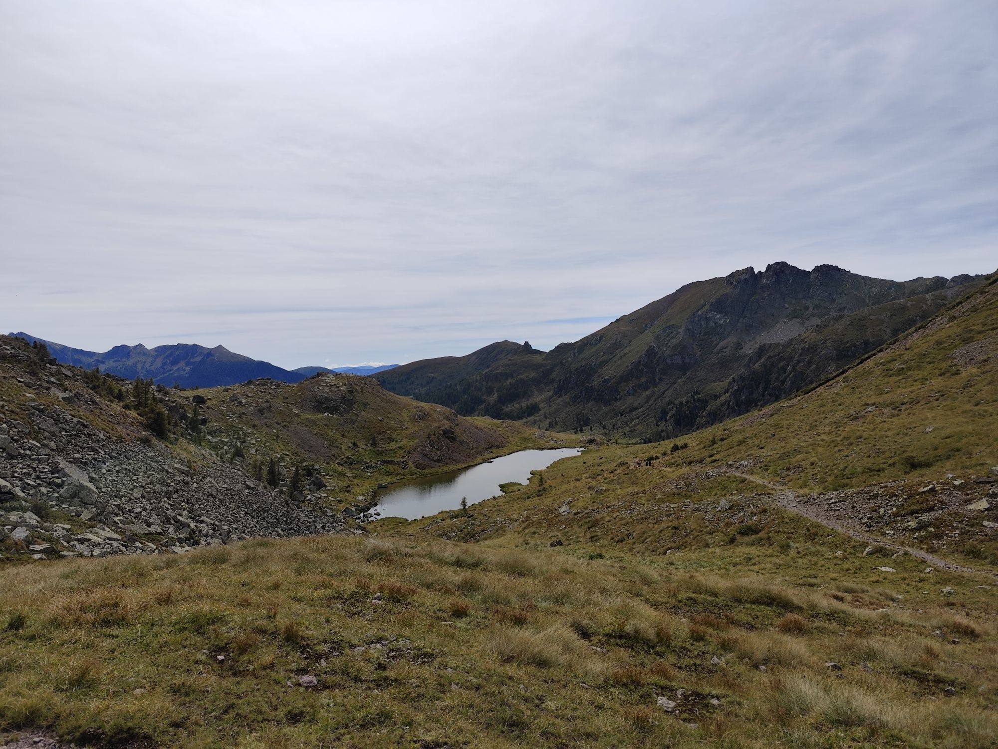
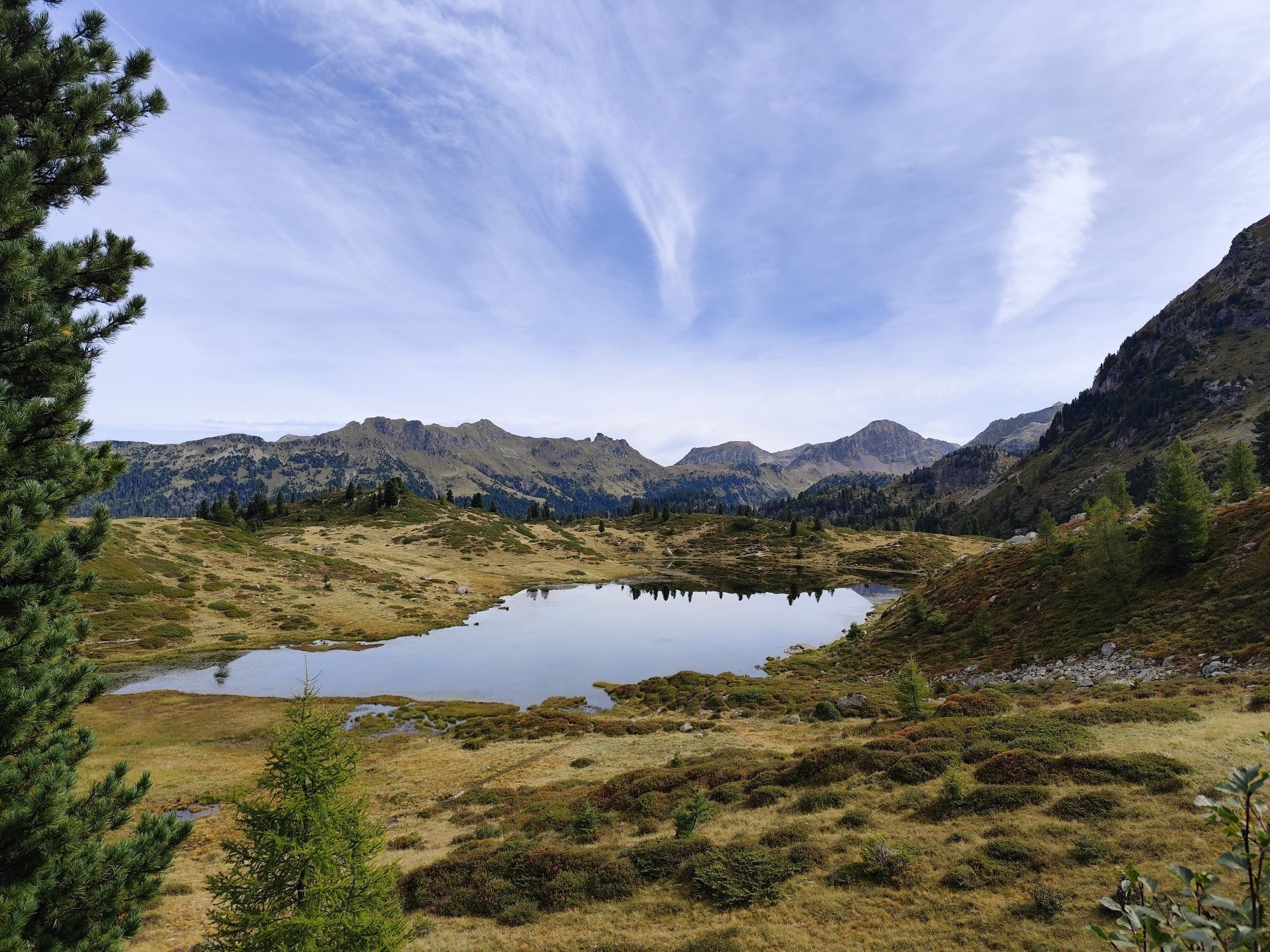
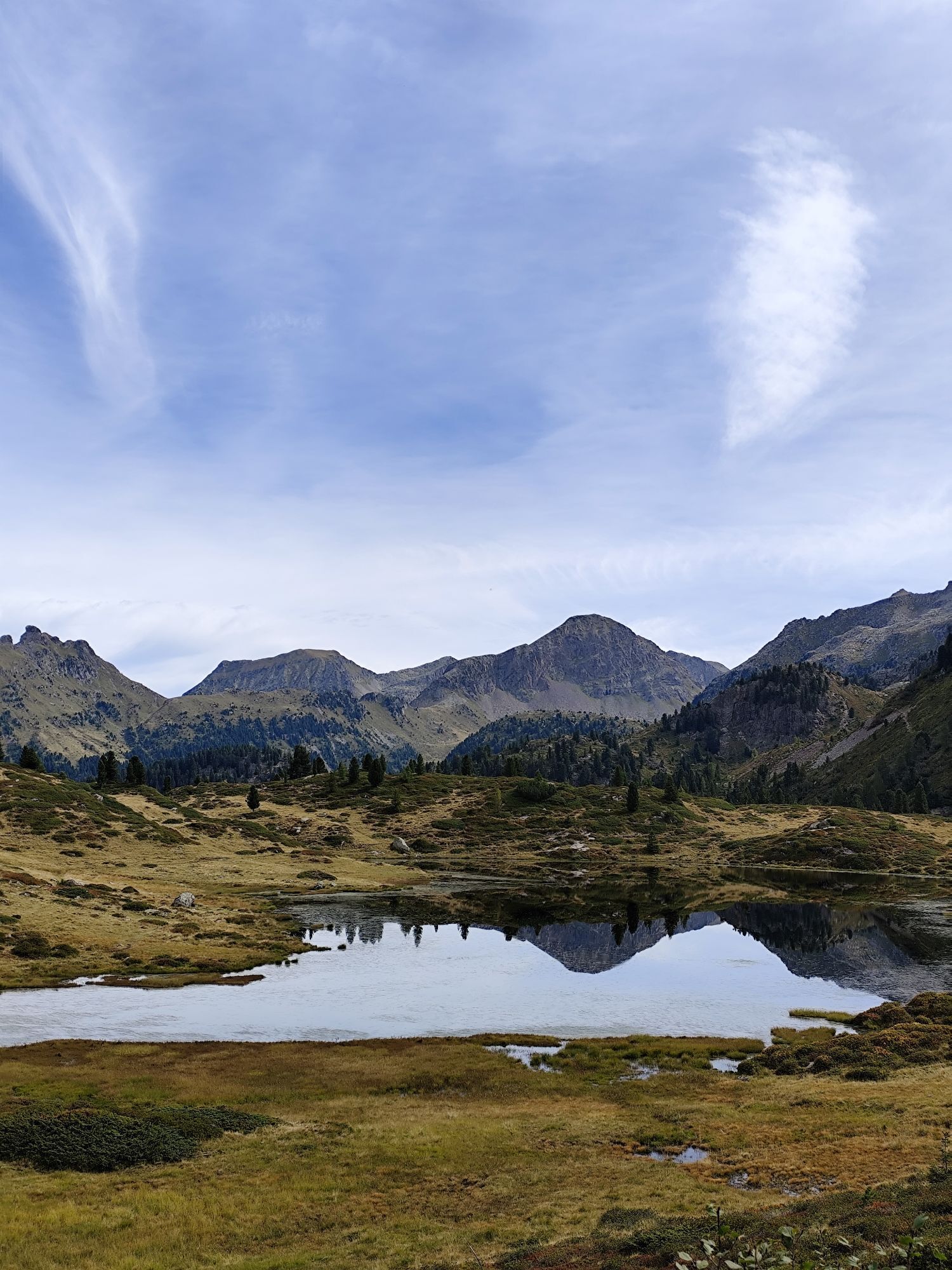
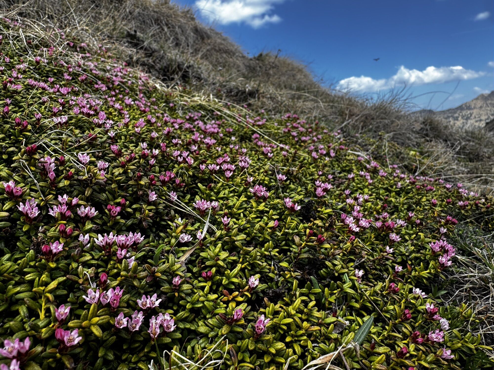
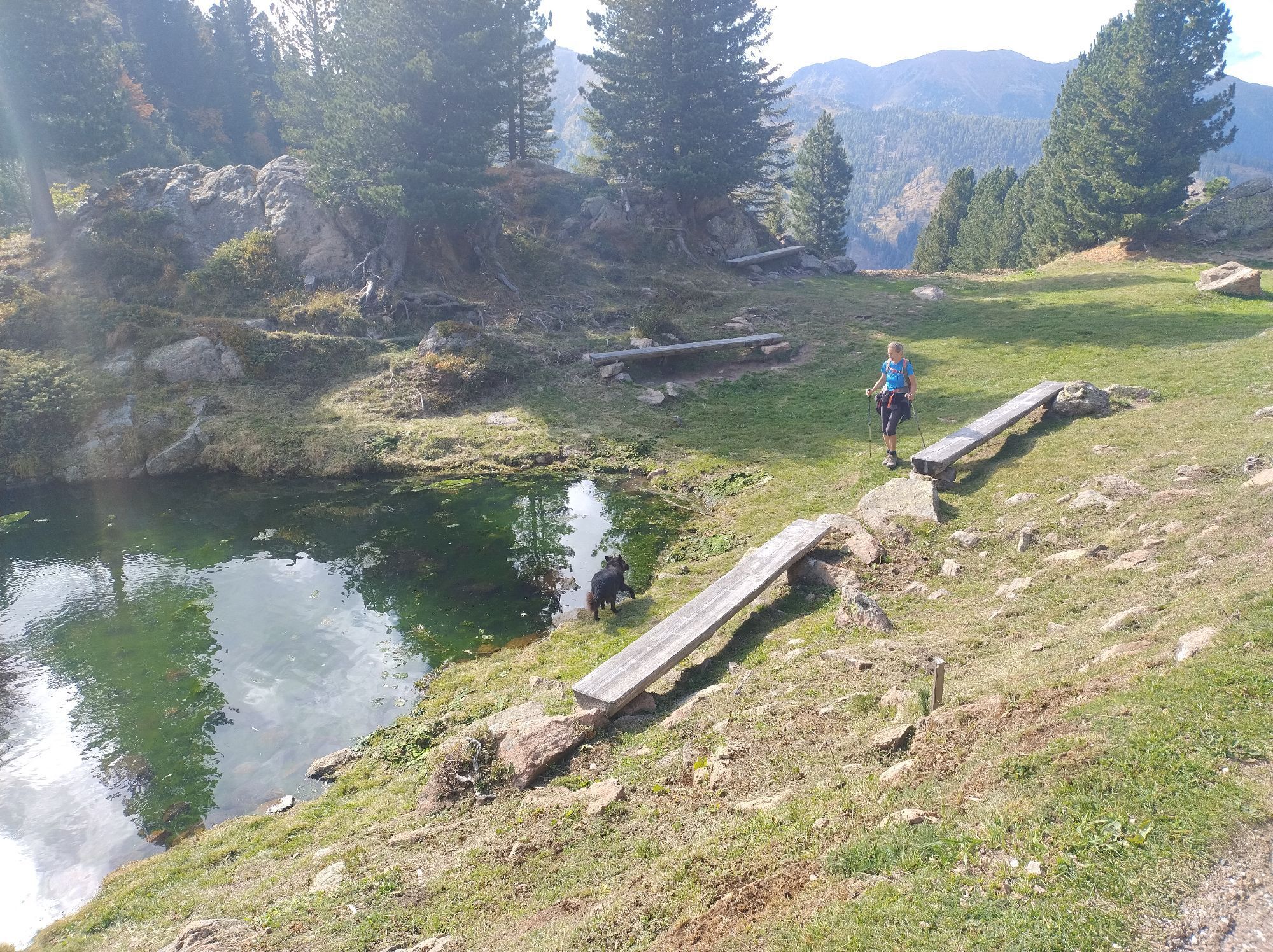
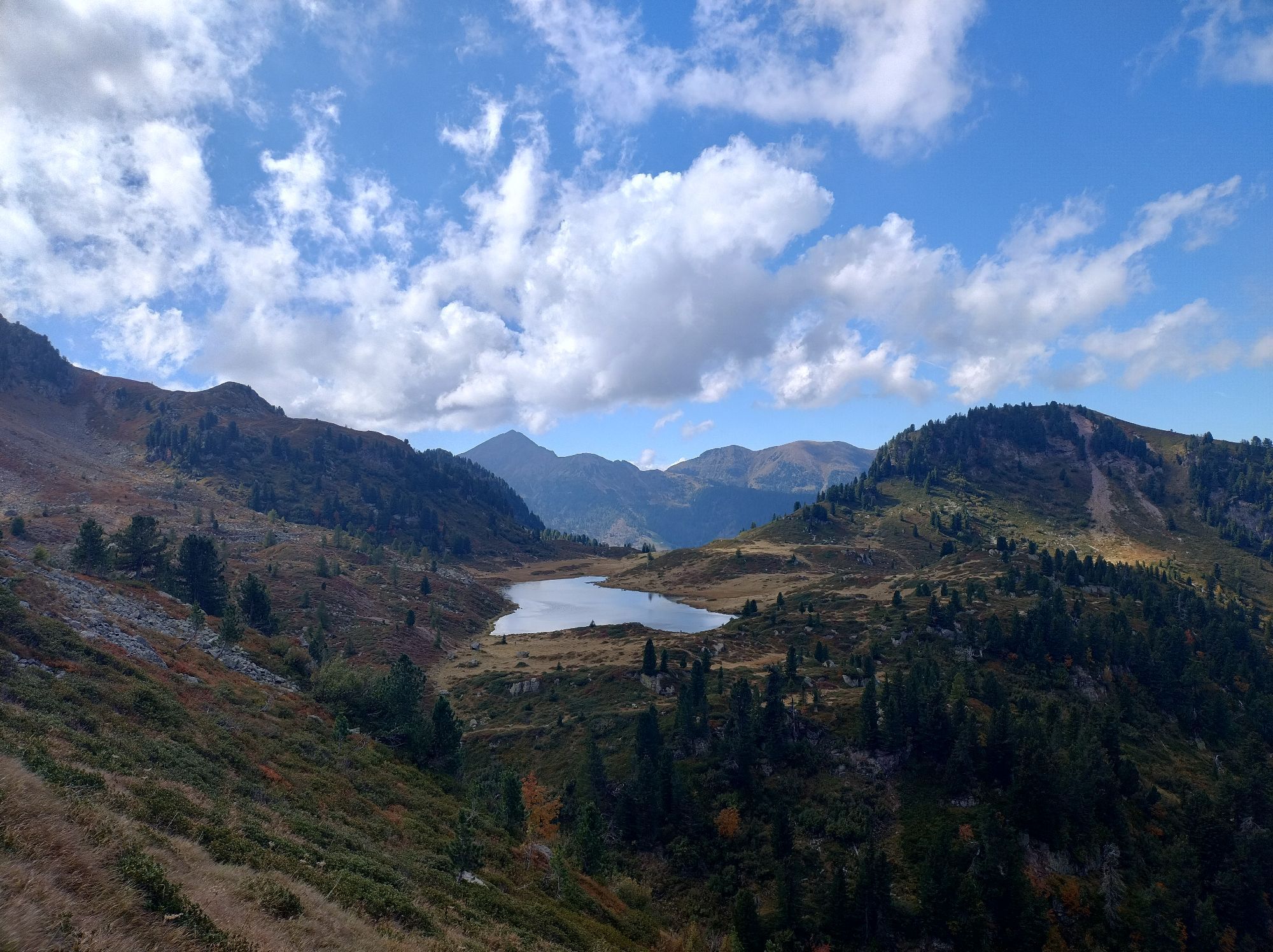
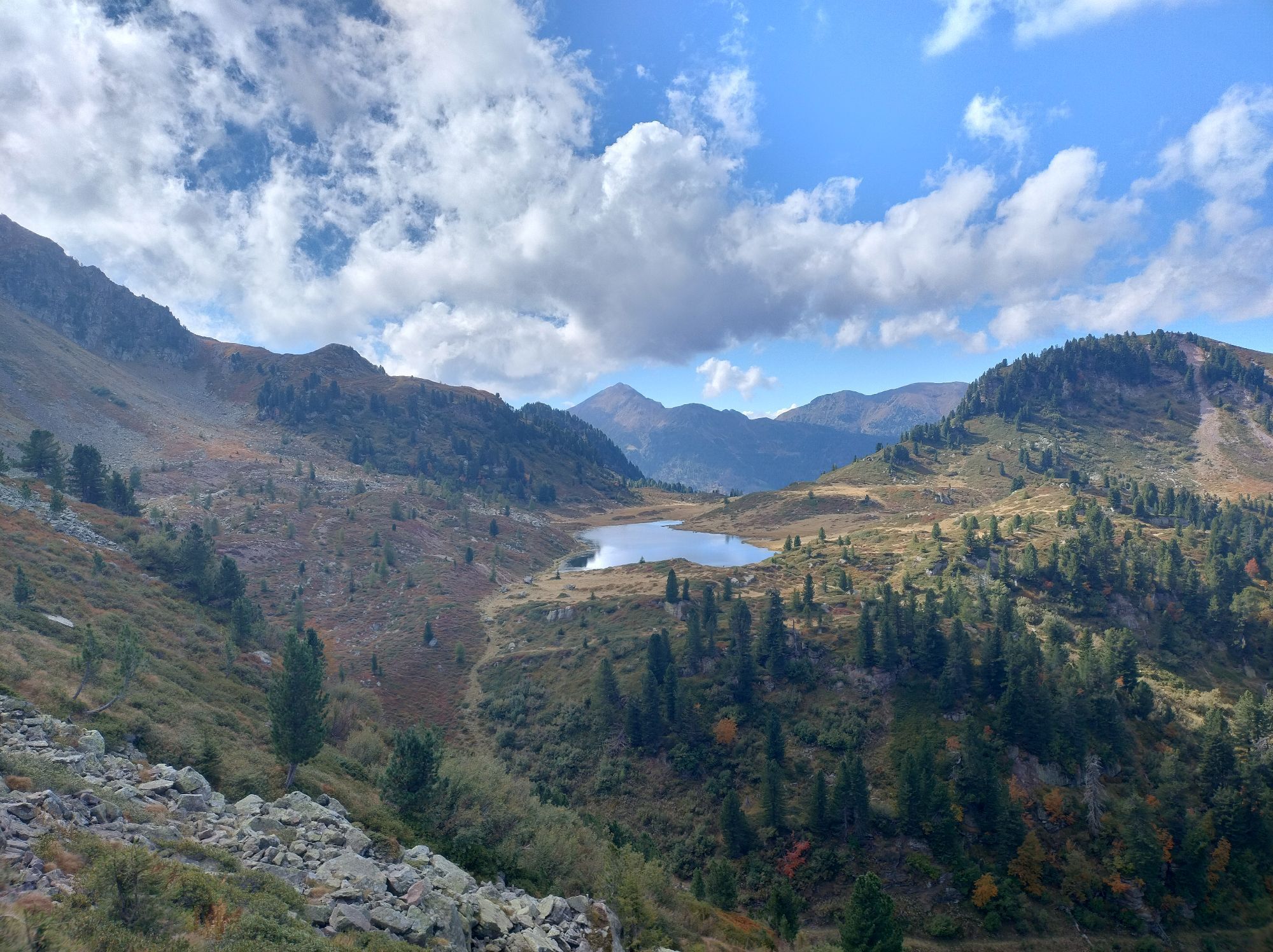
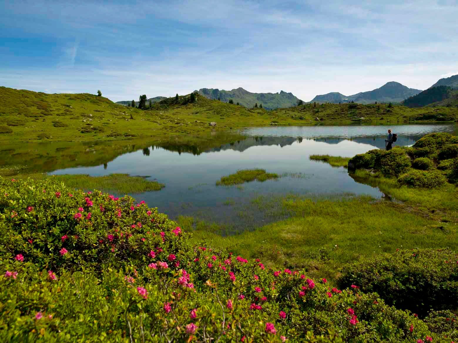
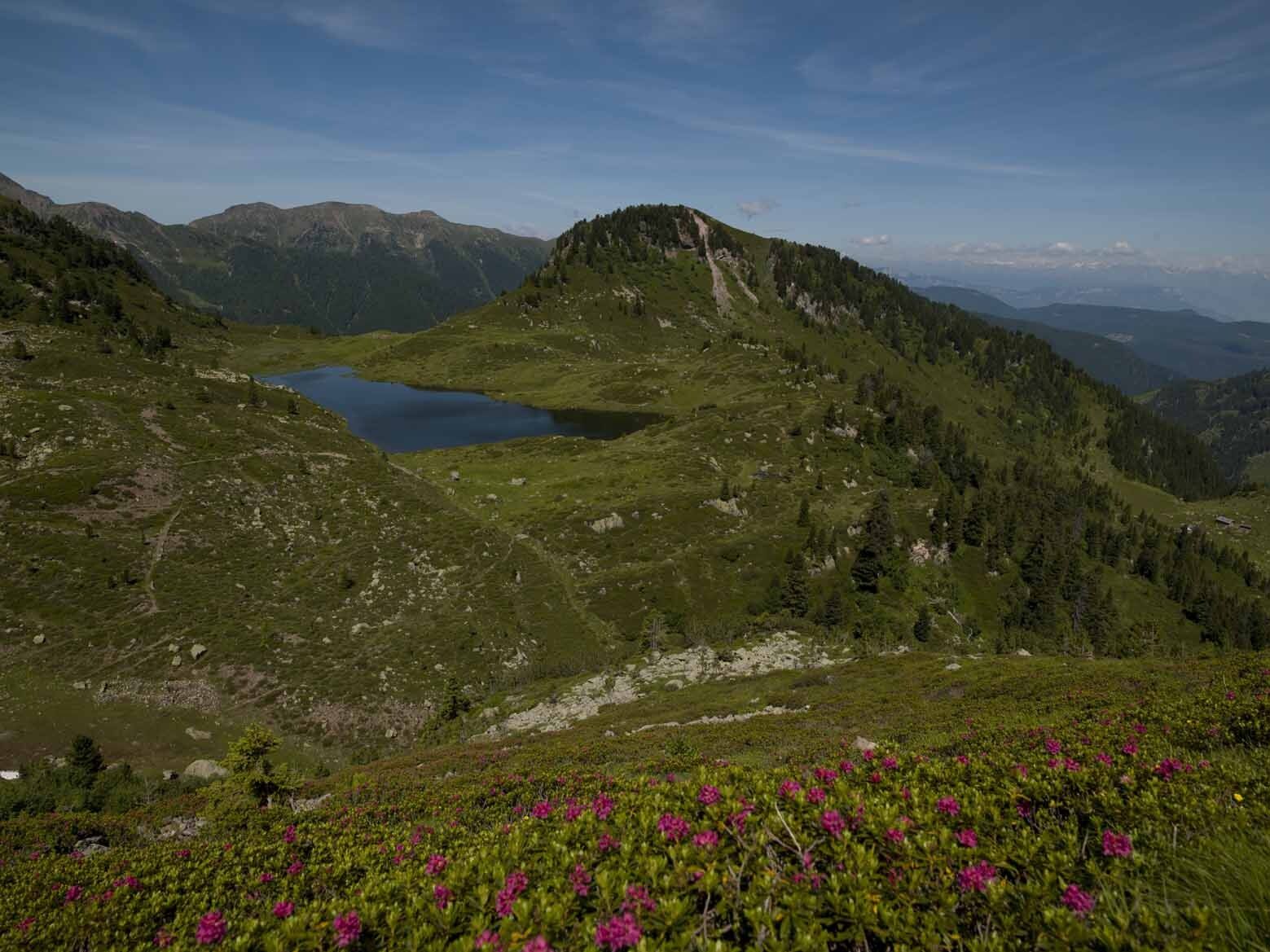
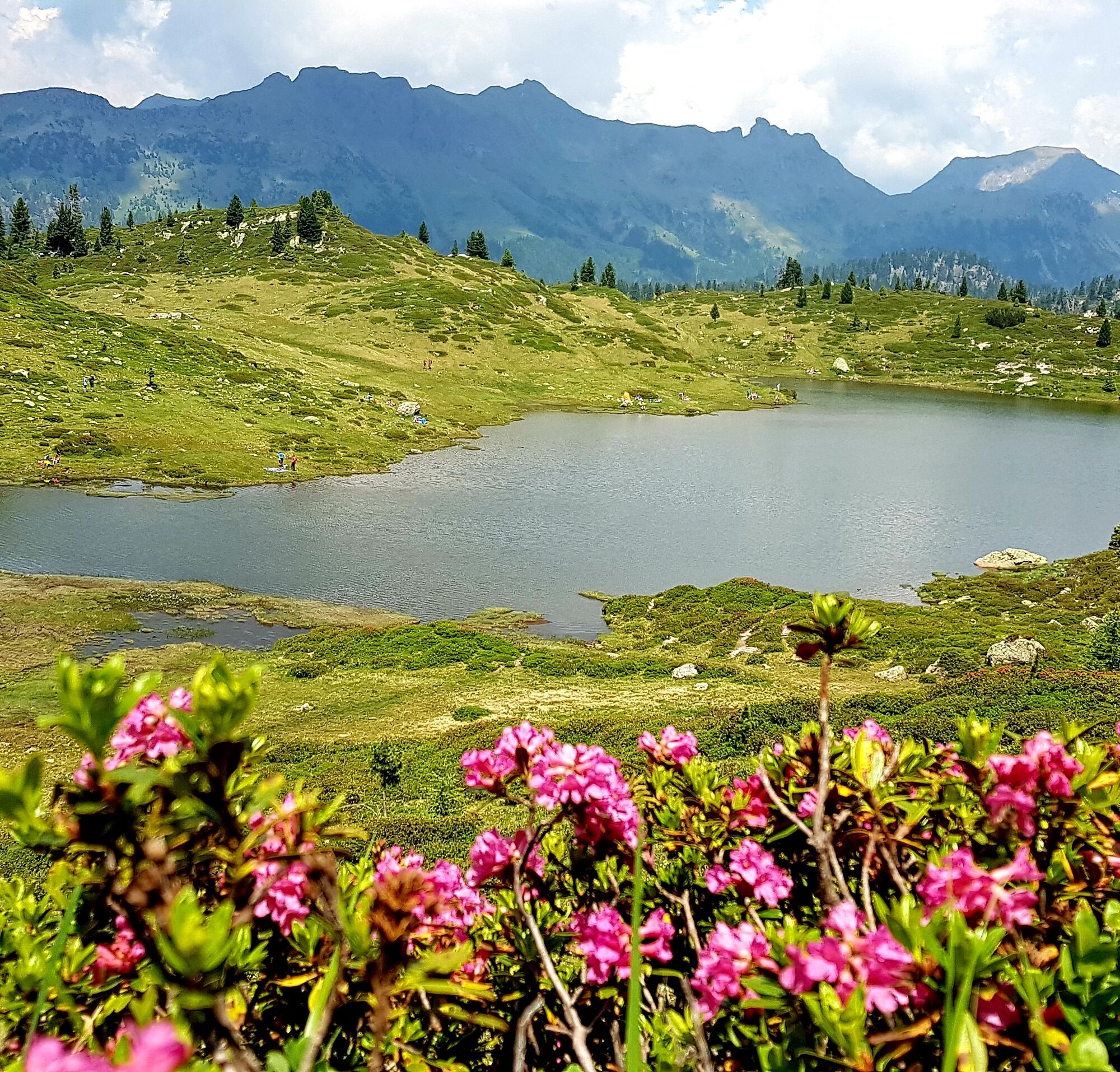
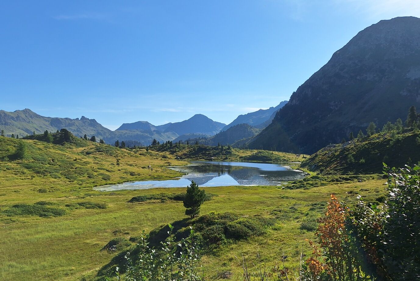
The main goal in our itinerary, Lake Buse is a stretch of water nestled among green pastures. In early July, the spectacular flowering of rhododendrons gives the landscape an enchanting note, together with juniper shrubs and blueberry plants. The name of the lake in the Val di Fiemme dialect means "lake of holes".
If you go the other way around, you can reach Lake Buse in about an hour's walk.

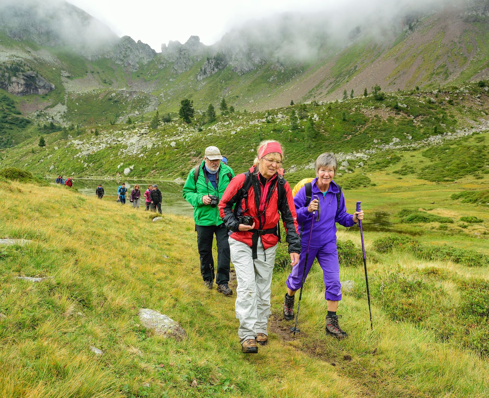
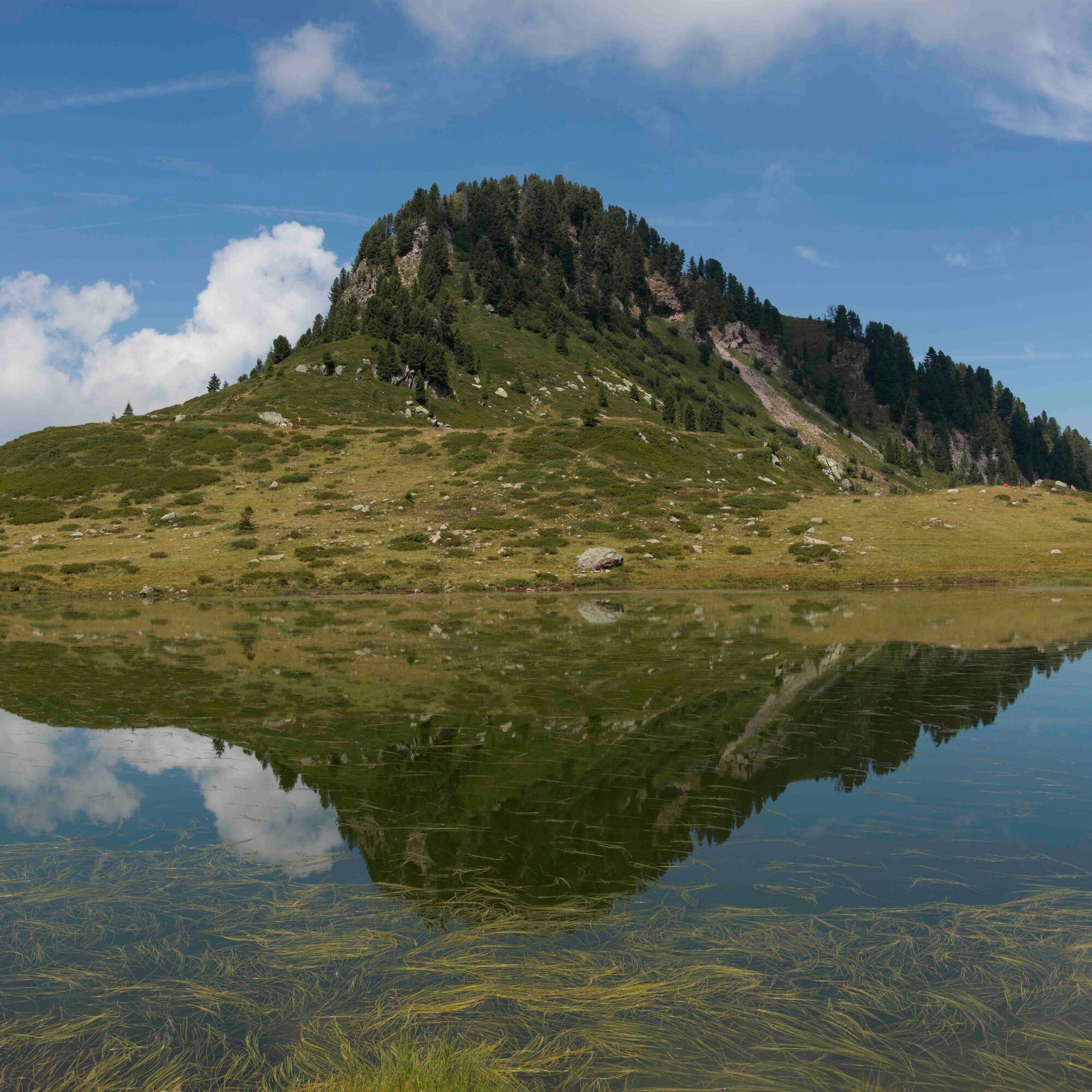
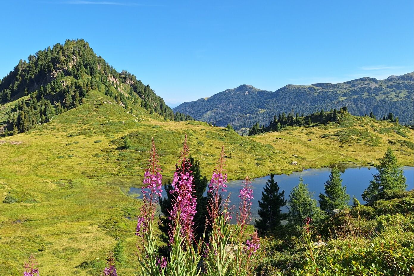
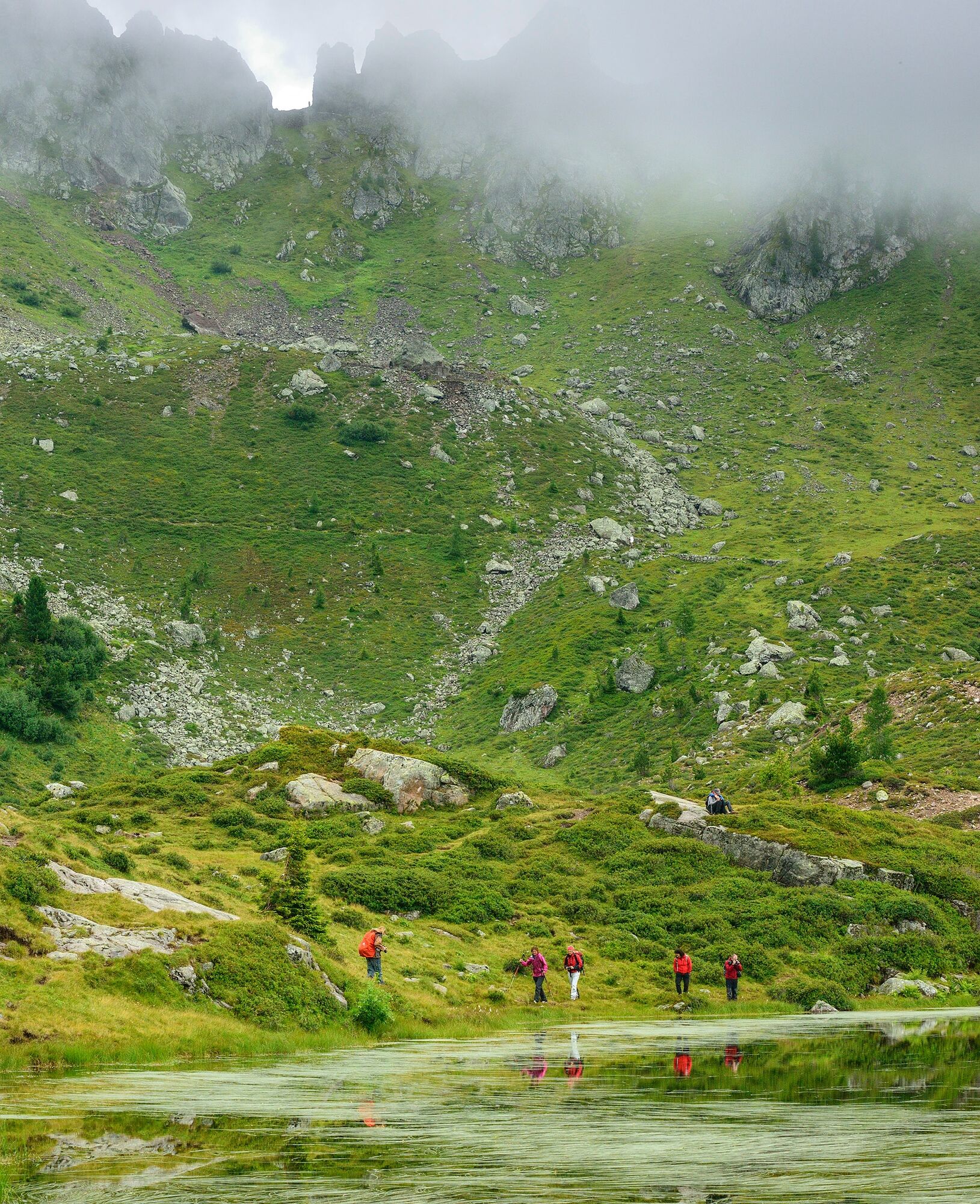
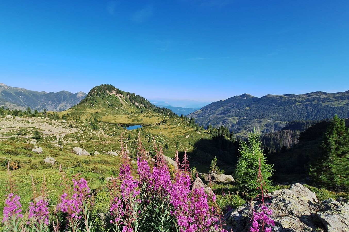

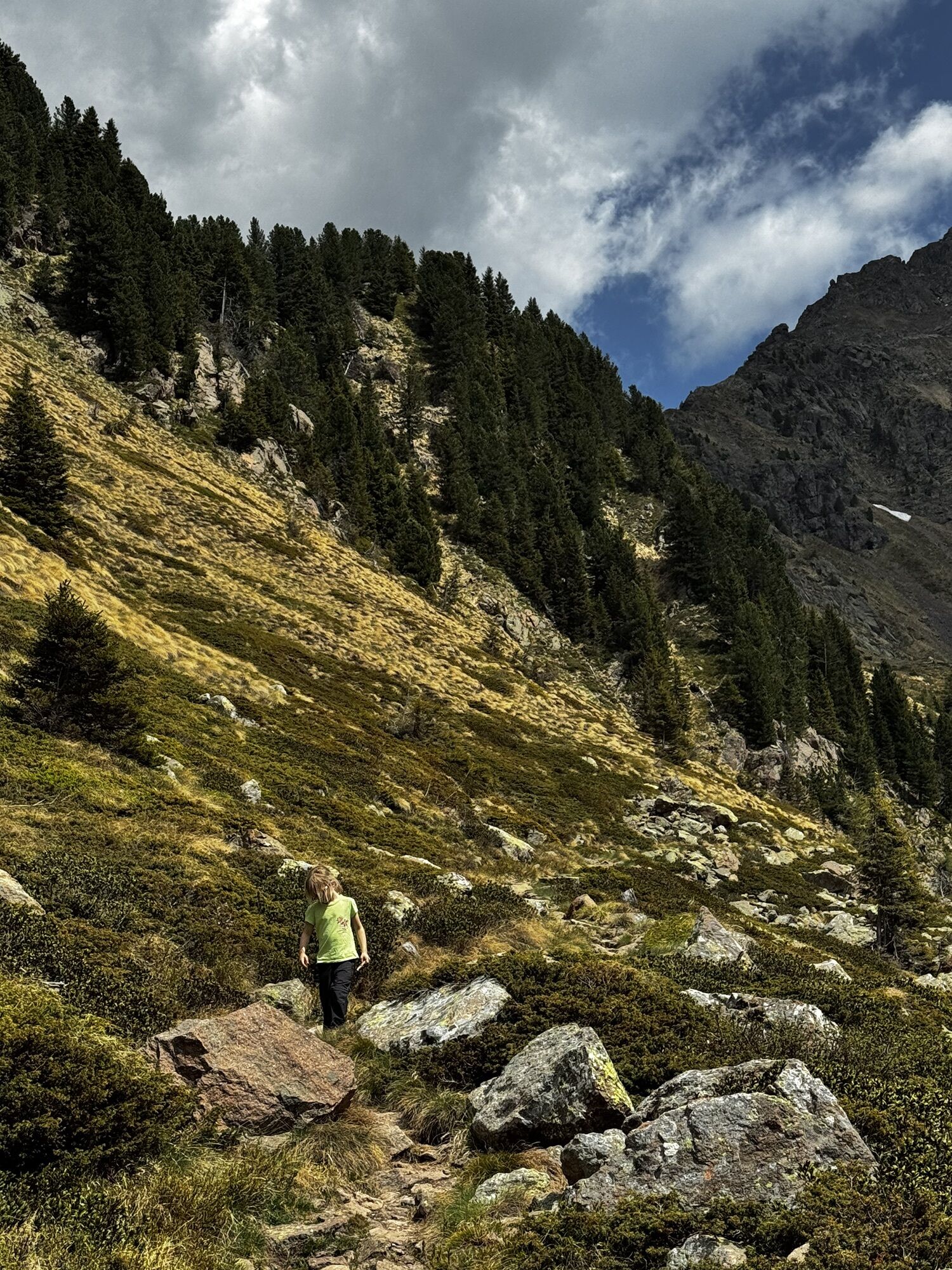
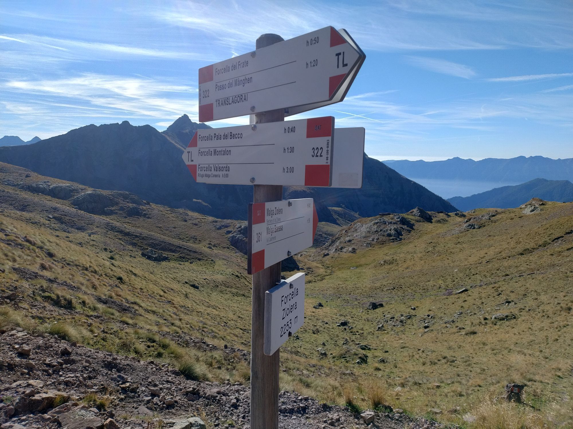
From Passo Manghen (2.047 m) take the path No. 322 towards Forcella del Frate from which, going along Ziolera peak to the right, you reach Forcella Ziolera (2.138 m).
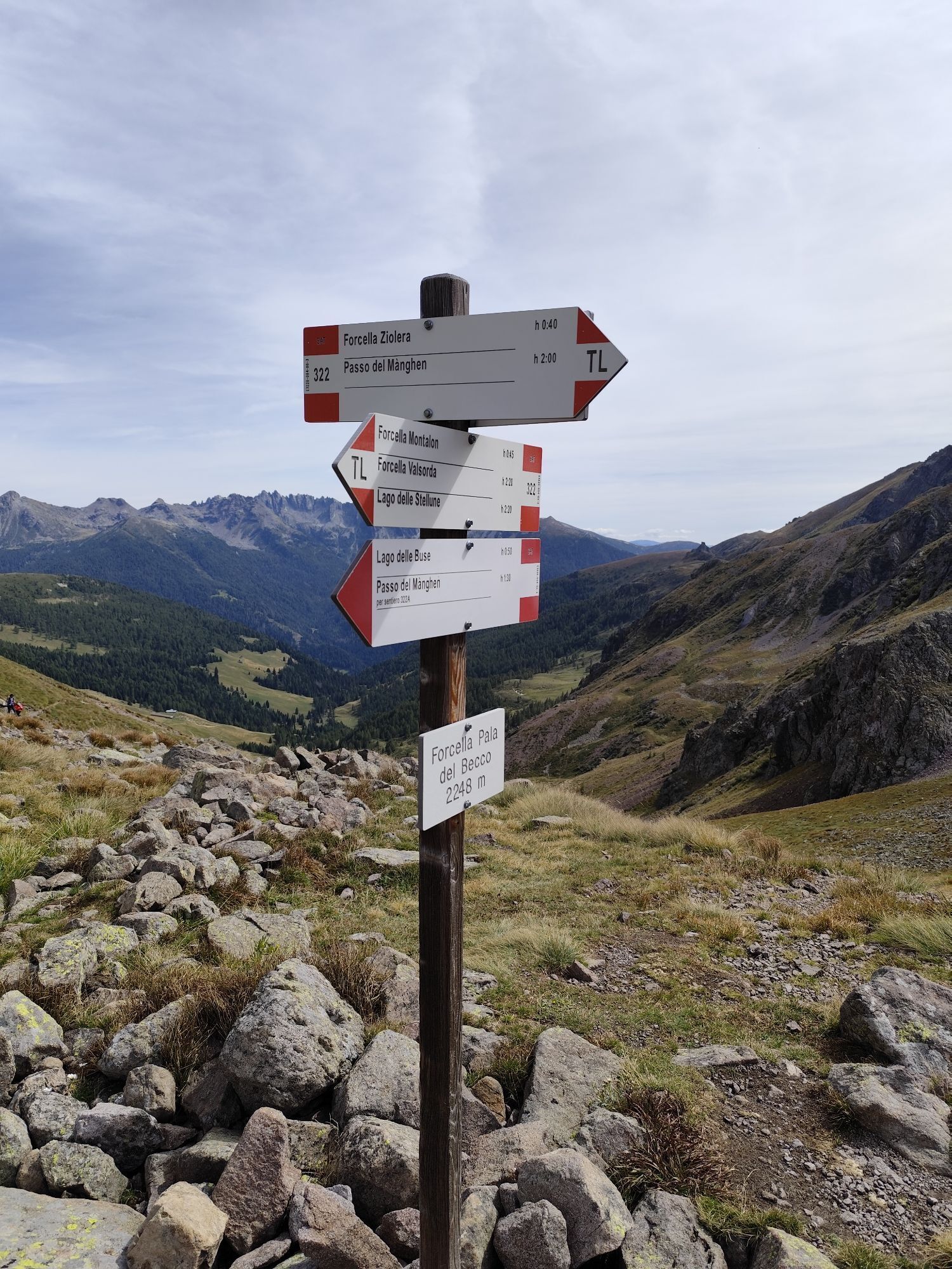
From the Forcella the path descends slightly to the right and reaches Forcella la Pala del Becco (2.248 m).
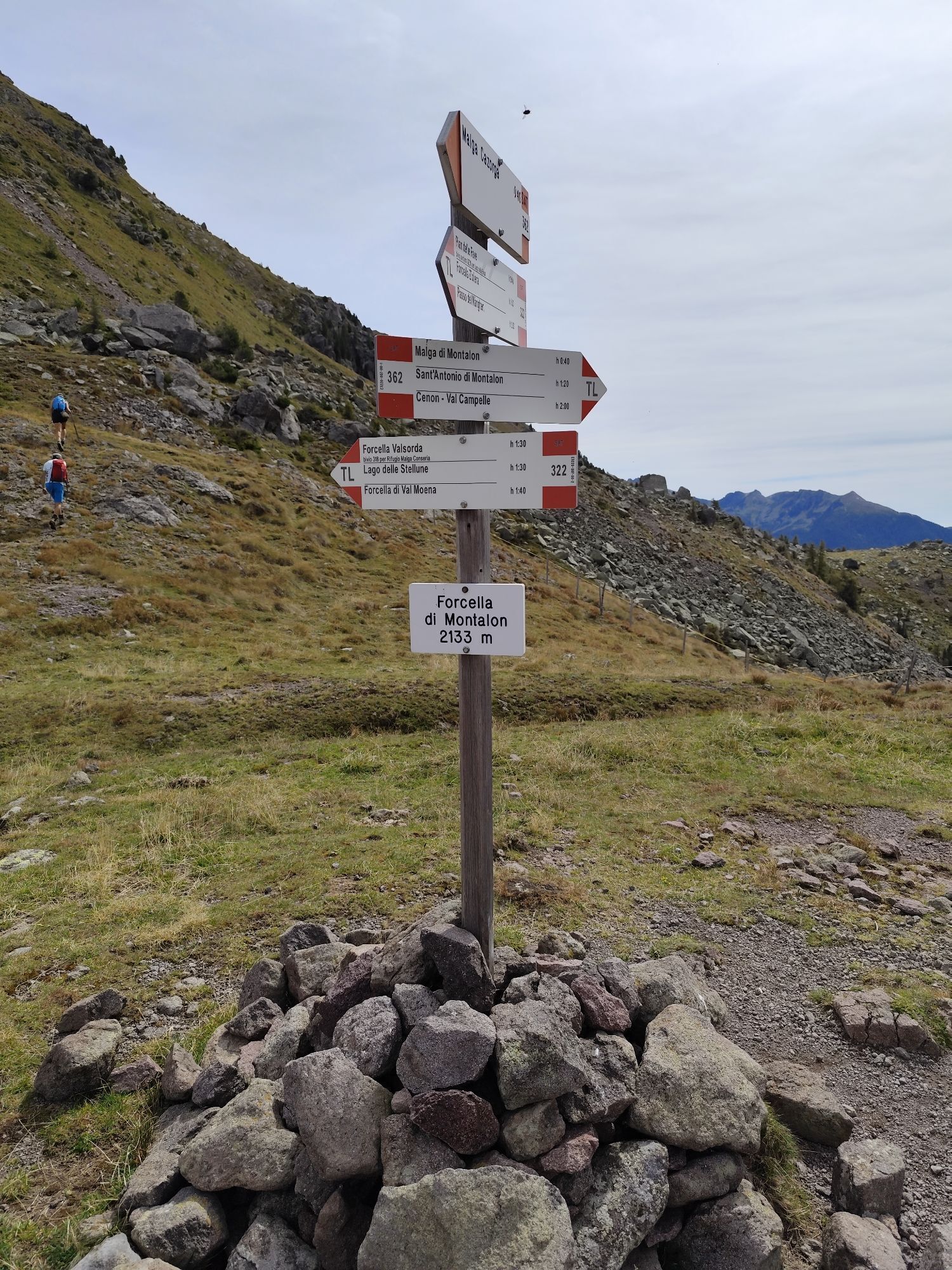
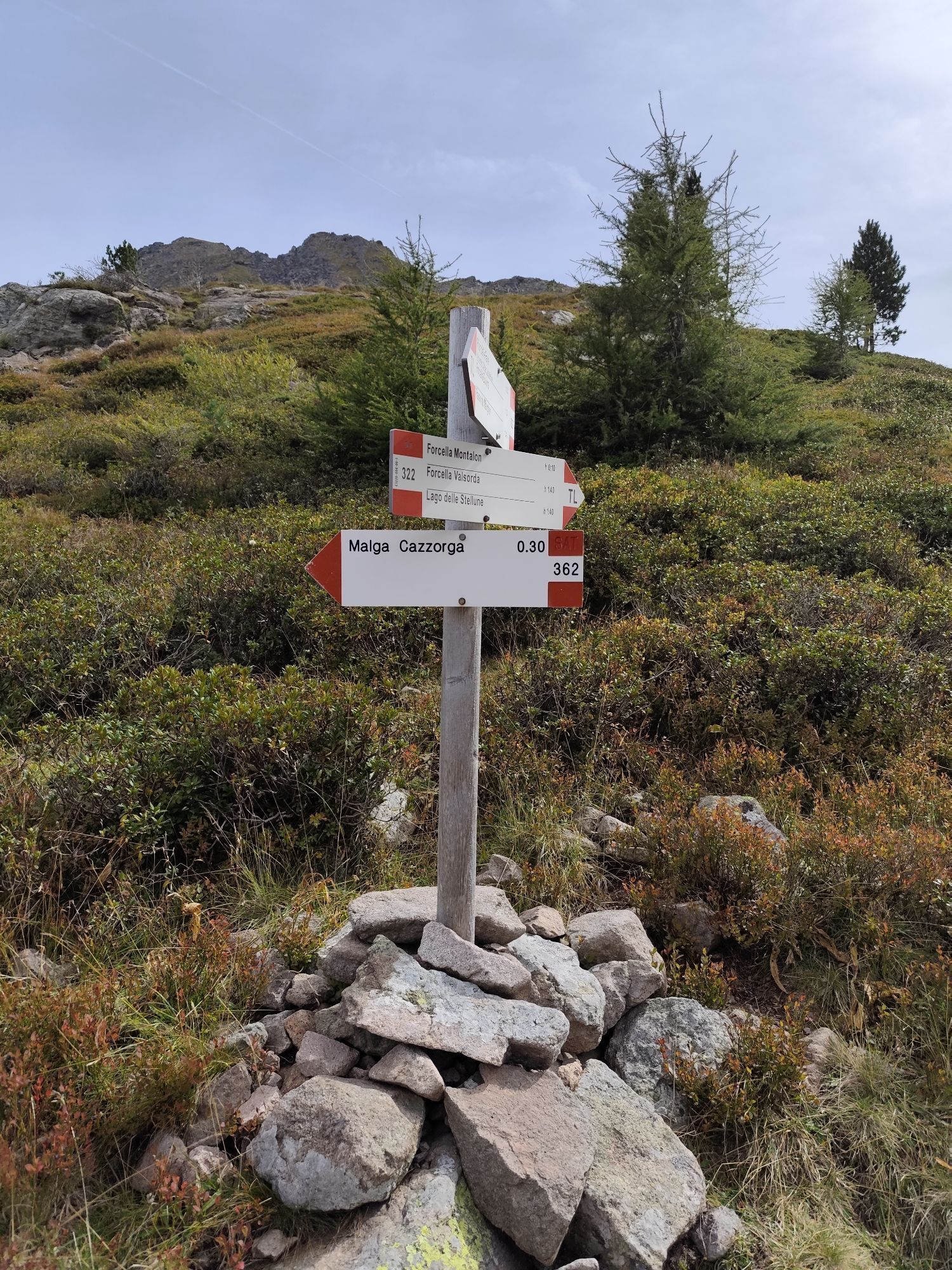
Continue down to the right on path No. 322B until you reach Lake Montalon. Go up on the left on path No. 362 until you reach Forcella Montalon (2.133 m) where you take the path No. 322 on the left.
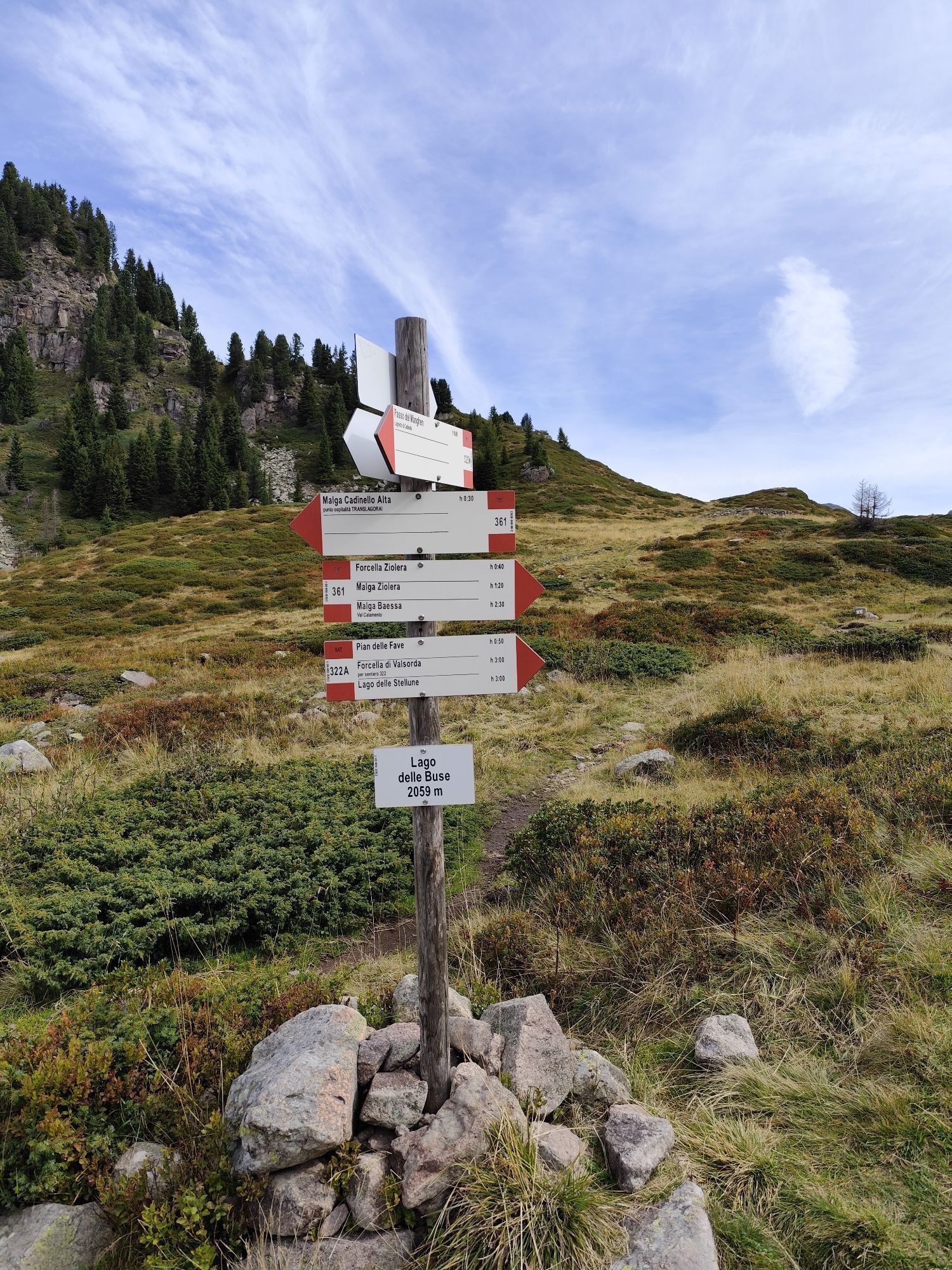
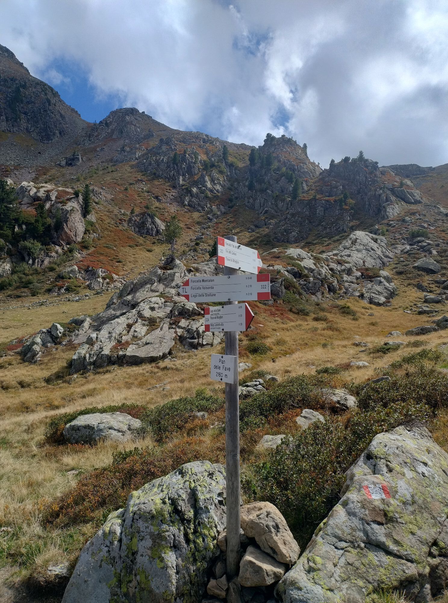
At the crossroads, turn left and, without particular differences in height, you reach Lago delle Buse.
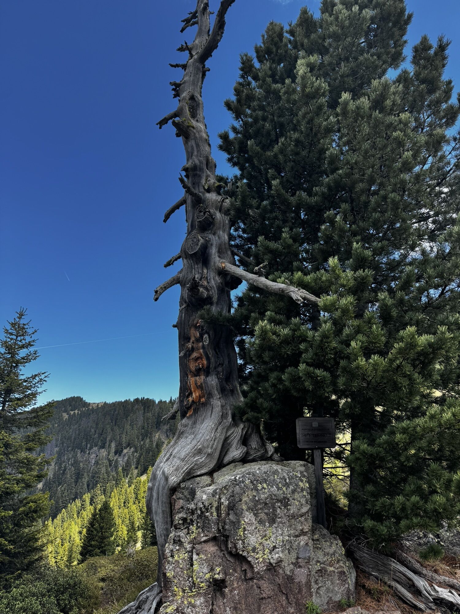
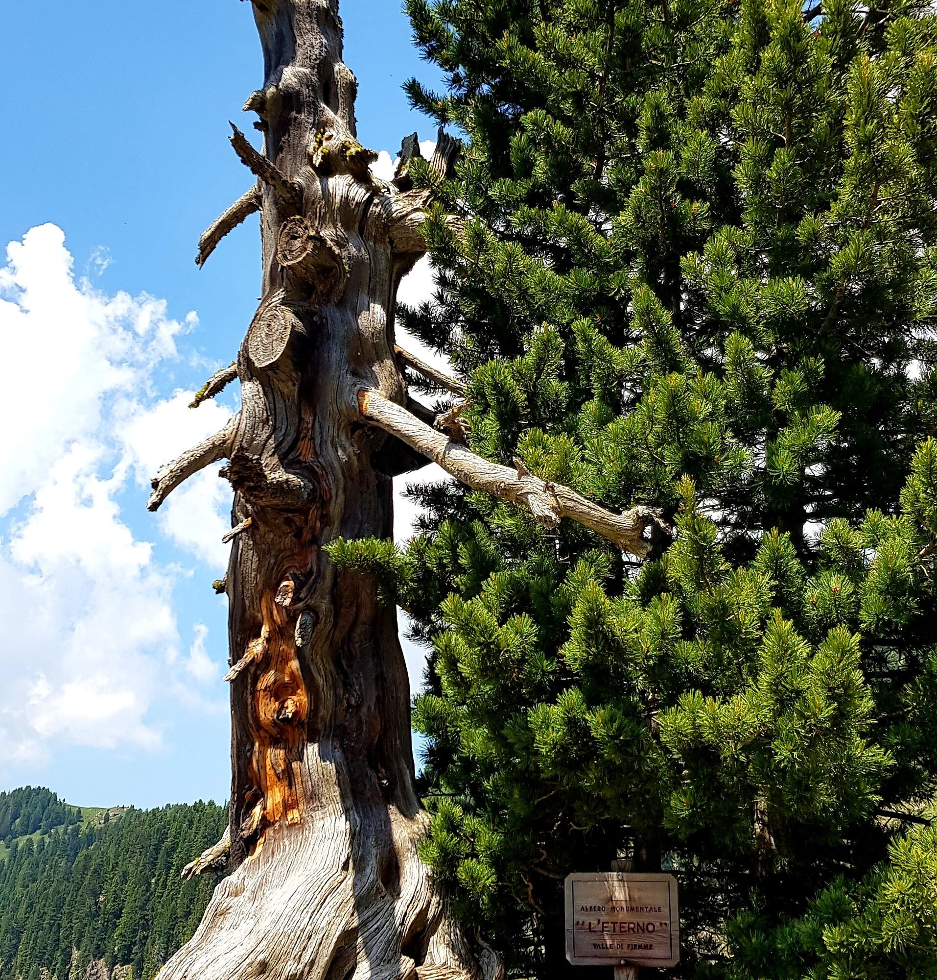
From here, take route No. 322A, which quickly leads to Rifugio Passo Manghen passing alongside the Swiss pine “L’Eterno”.
Hiking shoes, rain-jacket, hiking poles, water, sun cream
THE 10 RULES FOR HIKERS
Prepare your itinerary beforehand Choose an itinerary that suits your physical abilities Choose suitable clothes and equipment Check the weather forecast Hiking by yourself is more risky; if this is the case, take a mobile phone with you Leave information about your itinerary and your expected return time If you are not sure about your itinerary, contact an Alpine Guide Pay attention to signposts and directions that you find along your way Do not hesitate in going back if you feel too tired In case of emergency call 112Please note that the practicability of the itineraries in a mountain environment is strictly linked to the contingent conditions and is therefore influenced by natural phenomena, environmental changes and weather conditions. For this reason, the information contained in this page may have changed. Before leaving for a tour, make sure the path you will approach is still accessible by contacting the owner of the mountain hut, the alpine guides or the visitor centres of the nature parks, the info offices of the local tourist board.
From Molina di Fiemme take the road to Passo Manghen until you reach it
At Manghen Pass
APT Val di Fiemme - Tel. +39 0462 241111 - info@visitfiemme.it - www.visitfiemme.it
On the way you come across one of the Monumental Trees of Fiemme, "The Eternal", a dry Swiss pine towering above a large porphyry stone. For over a millennium, it has resisted the dangers of time and wind.
 Uzyskaj wgląd
Zawsze na żywo z ponad 9 500 kamer internetowych. bergfex Jako użytkownik Pro, możesz teraz zobaczyć odpowiednie kamery internetowe dla wielu wycieczek w aplikacji wycieczki od. Pozwala to na bezpośredni podgląd aktualnych warunków.
Uzyskaj wgląd
Zawsze na żywo z ponad 9 500 kamer internetowych. bergfex Jako użytkownik Pro, możesz teraz zobaczyć odpowiednie kamery internetowe dla wielu wycieczek w aplikacji wycieczki od. Pozwala to na bezpośredni podgląd aktualnych warunków.

Popularne wycieczki w okolicy
-
CermiSkyline
średniVia ferrata 6,77 km -
5,0
Cima d’Asta (vetta via normale)
średniWędrówka 17,5 km -
4,5
"Solombo" walk in the nearby of Carano village
światłoWędrówka 7,27 km -
4,7
Trenches and the Brozin Biotope - Tour 923
średniMountainbike 25,9 km -
3,8
Discovering one of the wonders of Val di Fiemme
światłoWędrówka 7,83 km -
4,5
Tour of Monte Cucal
światłoWędrówka 7,42 km -
5,0
Alpe Cermis
średniWędrówka 6,81 km -
4,0
Carano - The pine walk
światłoWędrówka 4,06 km -
5,0
Bombsel Lakes
światłoWędrówka 4,44 km -
5,0
Tour of Val di Fiemme: the towns of the Magnifica Comunità - Tour 927
średniMountainbike 31,2 km
Wędrówki i tropienie


Nie przegap ofert i inspiracji na następne wakacje
Twój adres e-mail została dodana do listy mailingowej.





