






Tour of Monte Cucal
Seen from the valley floor, Cucal is a lush and green hilly mountain overlooking the village Le Ville - Carano, Daiano, Varena, and Tesero. Approaching, past the meadows of Varena, you enter almost immediately...
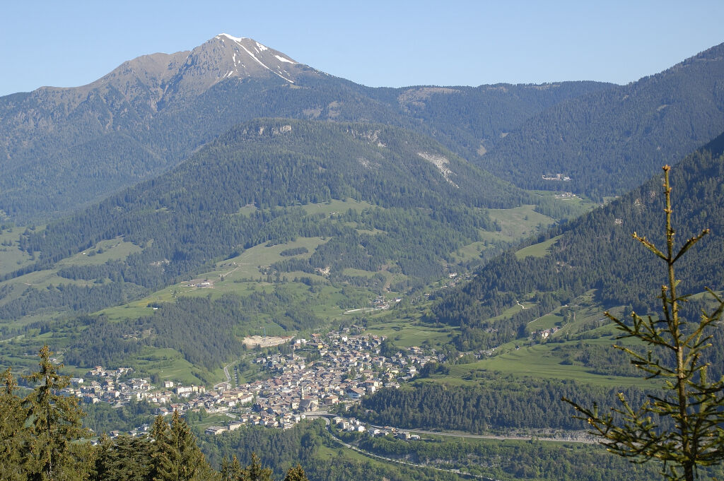
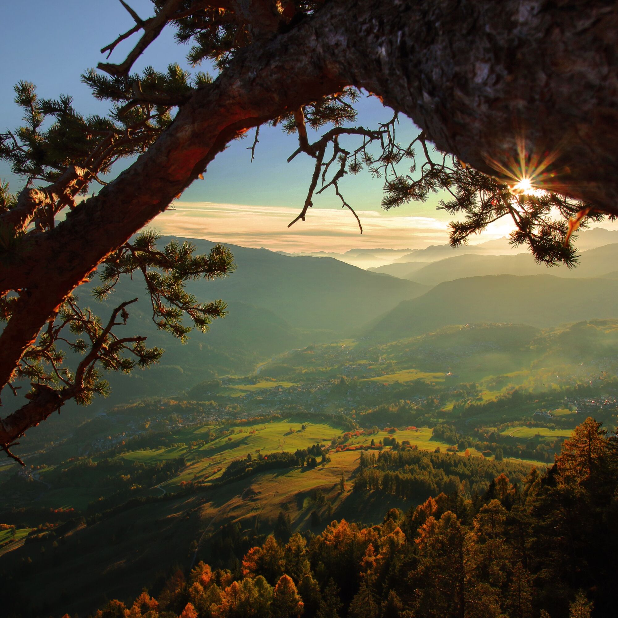
Seen from the valley floor, Cucal is a lush and green hilly mountain overlooking the village Le Ville - Carano, Daiano, Varena, and Tesero. Approaching, past the meadows of Varena, you enter almost immediately in the silence of the woods, a rich and varied forest: you pass from the larch stems to those of spruce, up to the sunny slopes covered with pine trees, a conifer that loves arid soils. The top of the Cucal is a large and airy larch wood with its classic green grass that gives an unexpected glimpse of the valley.

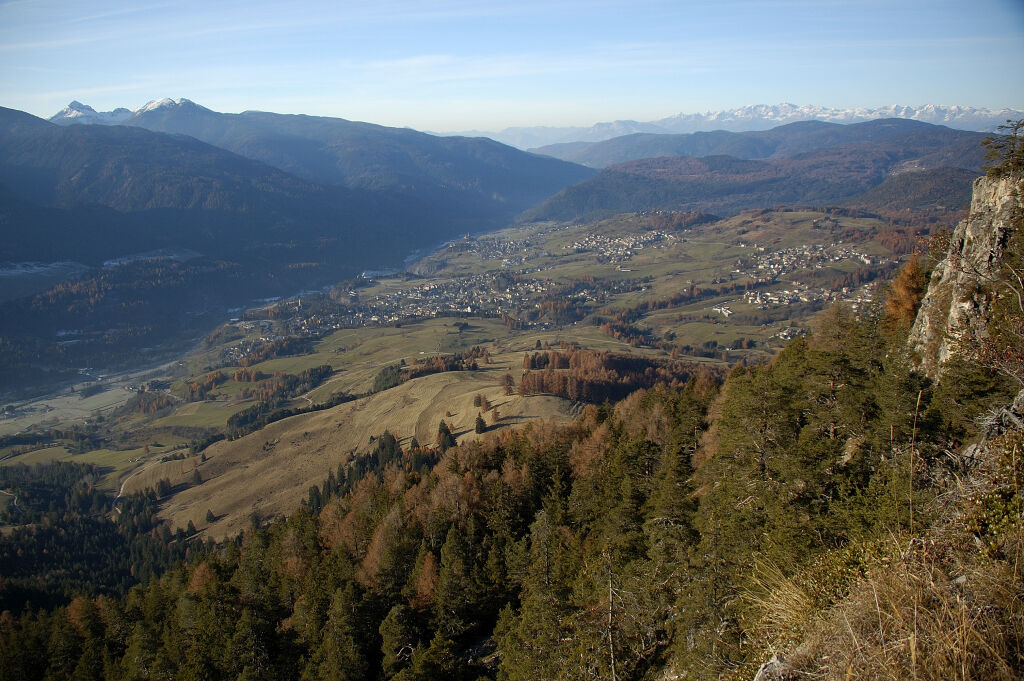
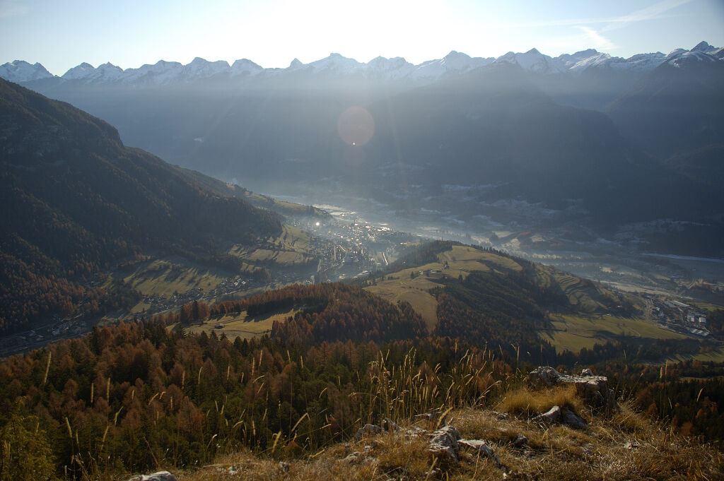

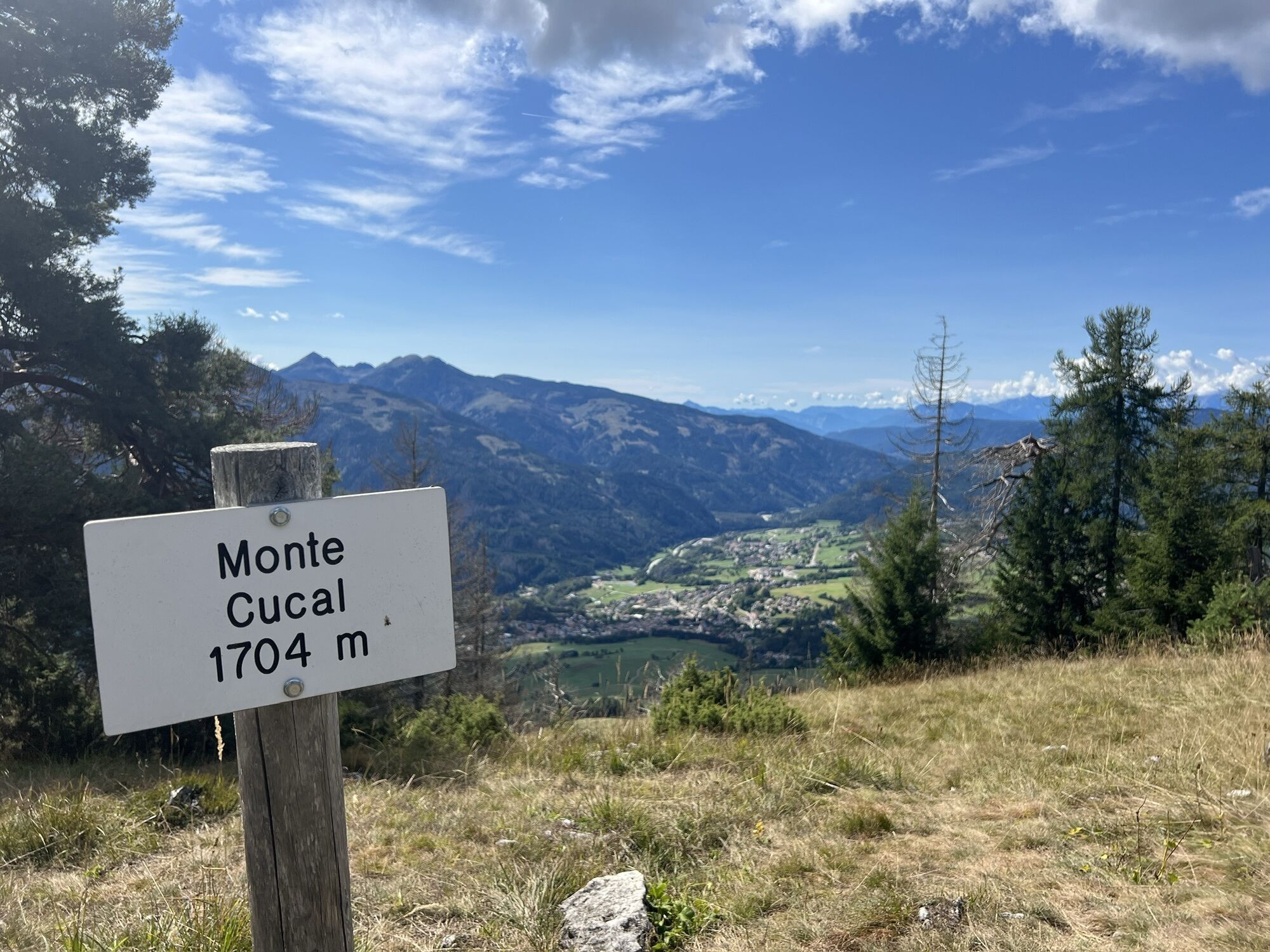
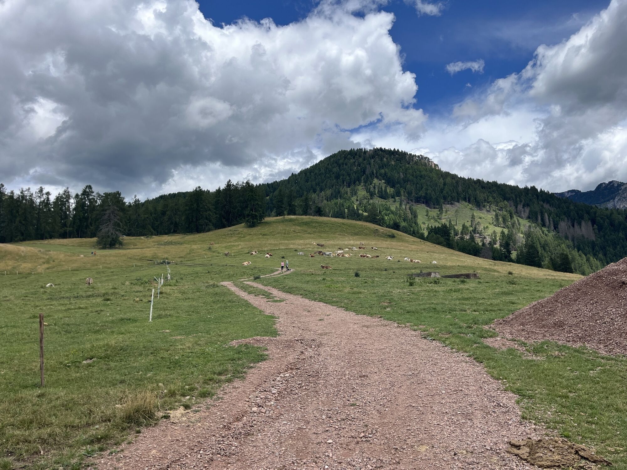
Leave the car in Copara area (1.220 m) in the town of Varena. Take the forest road signposted "Stava" and follow it for 2.5 km. At first you walk among the pastures, then the path is all in the woods. At the end of the climb, follow the signs for "Cucal", first on a forest road and then on a path. At a crossroads, take the uphill path on the right to "Stava" which leads to another fork. Here take the path on the left No. 503 with directions "Prati di Monte Cucal" and "Monte Cucal" going up a zig zag. Arrived in the meadows, follow the signs on the left that lead in a short time to the top of the summit (1.705 m) from which you can admire some villages in the valley.
Retrace your steps to the first junction and from there take the path on the left No. 503A with indication "La Copara". The route descends into the woods bringing the starting point in a short time.
Tak
Hiking shoes, rain-jacket, hiking poles, water, sun cream
THE 10 RULES FOR HIKERS
Prepare your itinerary beforehand Choose an itinerary that suits your physical abilities Choose suitable clothes and equipment Check the weather forecast Hiking by yourself is more risky; if this is the case, take a mobile phone with you Leave information about your itinerary and your expected return time If you are not sure about your itinerary, contact an Alpine Guide Pay attention to signposts and directions that you find along your way Do not hesitate in going back if you feel too tired In case of emergency call 112Please note that the practicability of the itineraries in a mountain environment is strictly linked to the contingent conditions and is therefore influenced by natural phenomena, environmental changes and weather conditions. For this reason, the information contained in this page may have changed. Before leaving for a tour, make sure the path you will approach is still accessible by contacting the owner of the mountain hut, the alpine guides or the visitor centres of the nature parks, the info offices of the local tourist board.
From Cavalese drive up direction Passo Lavazè.
After 4 km you will reach the village of Varena. Short after hotel "Alla Rocca" go right and drive ahead.
Short before pizzeria "La Marisana" go right and drive ahead the flat road for 500 m. You will find parking area after the last 2 houses.
Take the public bus "Trentino Trasporti" Cavalese to Varena.
Parking places in the area "La Copara".
APT Val di Fiemme - Tel. +39 0462 241111 - info@visitfiemme.it - www.visitfiemme.it
The summit reaches around 1700 meters, which is why it is a feasible excursion both in spring and late autumn, when other areas of the valley may still be covered by snow.

 Uzyskaj wgląd
Zawsze na żywo z ponad 9 500 kamer internetowych. bergfex Jako użytkownik Pro, możesz teraz zobaczyć odpowiednie kamery internetowe dla wielu wycieczek w aplikacji wycieczki od. Pozwala to na bezpośredni podgląd aktualnych warunków.
Uzyskaj wgląd
Zawsze na żywo z ponad 9 500 kamer internetowych. bergfex Jako użytkownik Pro, możesz teraz zobaczyć odpowiednie kamery internetowe dla wielu wycieczek w aplikacji wycieczki od. Pozwala to na bezpośredni podgląd aktualnych warunków.
Popularne wycieczki w okolicy
-
4,8
Torre di Pisa mountain hut
średniWędrówka 9,09 km -
5,0
Latemar Umrundung - die Kurze und Bequeme
średniWędrówka 12,1 km -
4,8
Latemar Tour - Tour 930
średniMountainbike 37,4 km -
4,8
Malga Cislon
średniWędrówka 9,37 km -
2,8
Wanderung zur Latemarhütte
średniWędrówka 7 km -
4,3
The three lakes
średniWędrówka 11,1 km -
4,5
Weißhorn
średniWędrówka 6,64 km -
5,0
Tour of Monte Cornon
średniWędrówka 7,65 km -
5,0
The chromatic contrast of Corno Nero and Corno Bianco
ciężkiWędrówka 12,7 km -
4,7
The infinite views from Oclini Pass
światłoWędrówka zimą 4,91 km
Wędrówki i tropienie


Nie przegap ofert i inspiracji na następne wakacje
Twój adres e-mail została dodana do listy mailingowej.





