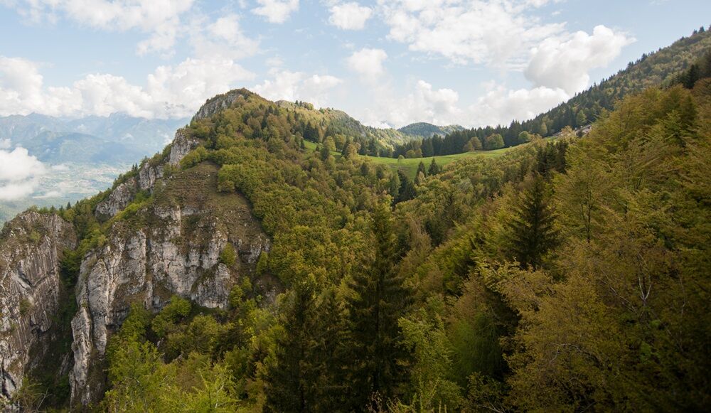
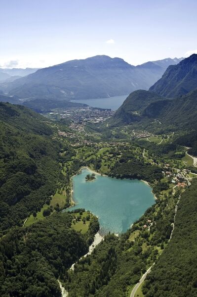
© Garda Trentino - Archivio Garda Trentino - Foto G.P. Calzà

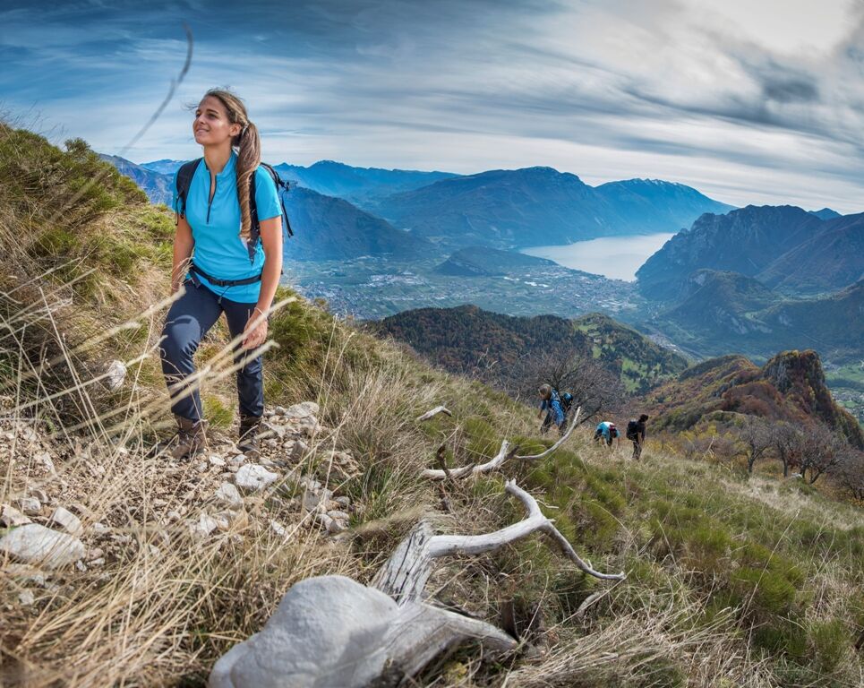
© Garda Trentino - APT Garda Trentino

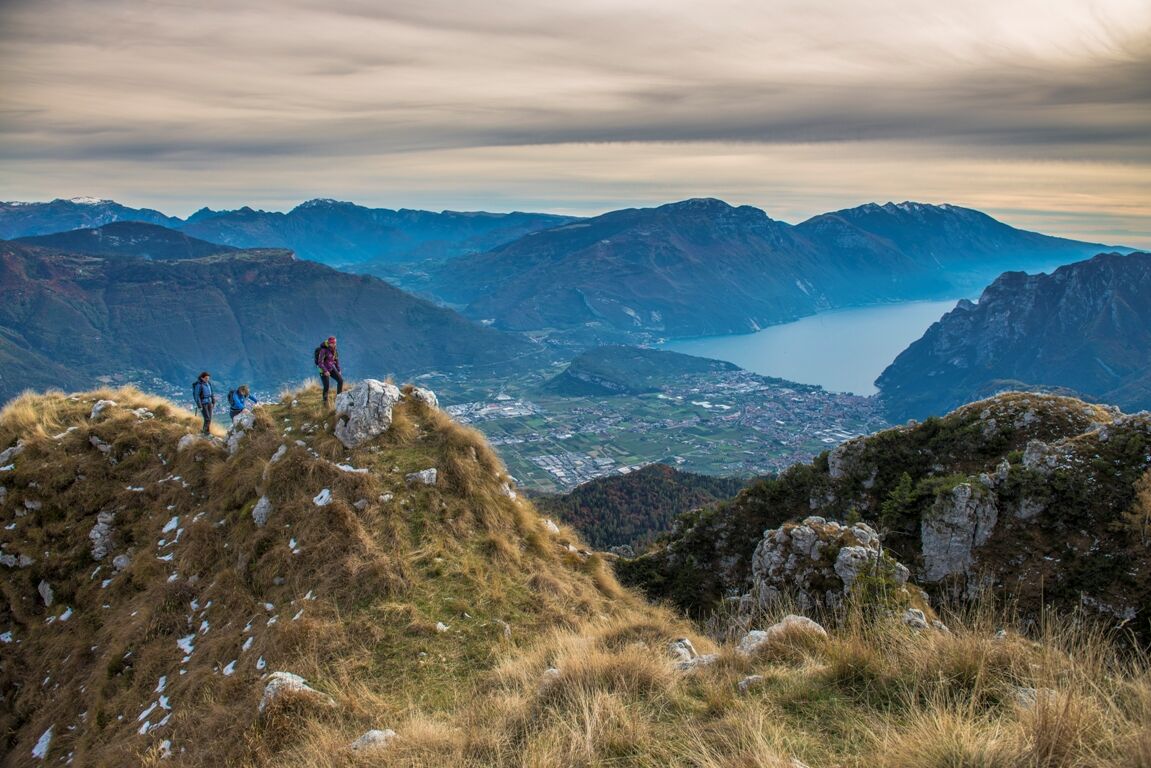
© Garda Trentino - APT Garda Trentino

© Garda Trentino - Archivio Garda Trentino - Foto G.P. Calzà

© Dove andiamo domani?

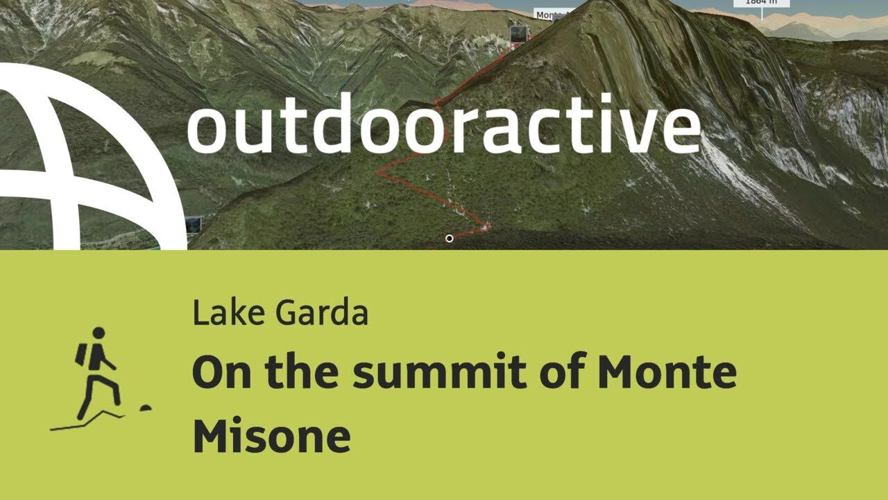
© Outdooractive – 3D Videos

- Krótki opis
-
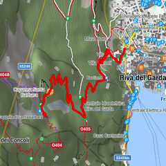
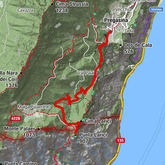
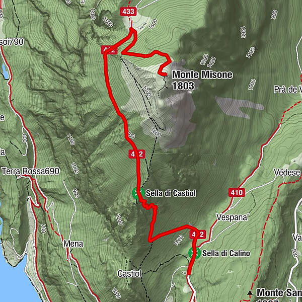
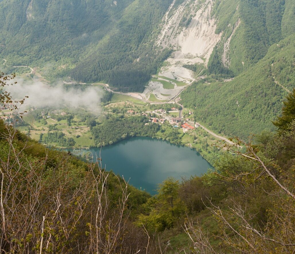
Monte Misone is a solitary peak on the north-west end of Lake Garda. Perhaps it is less well-known than the other mountains around the lake but the panorama from its summit is a memory you will treasure forever.
- Stopień trudności
-
średni
- Ocena
-
- Trasa
-
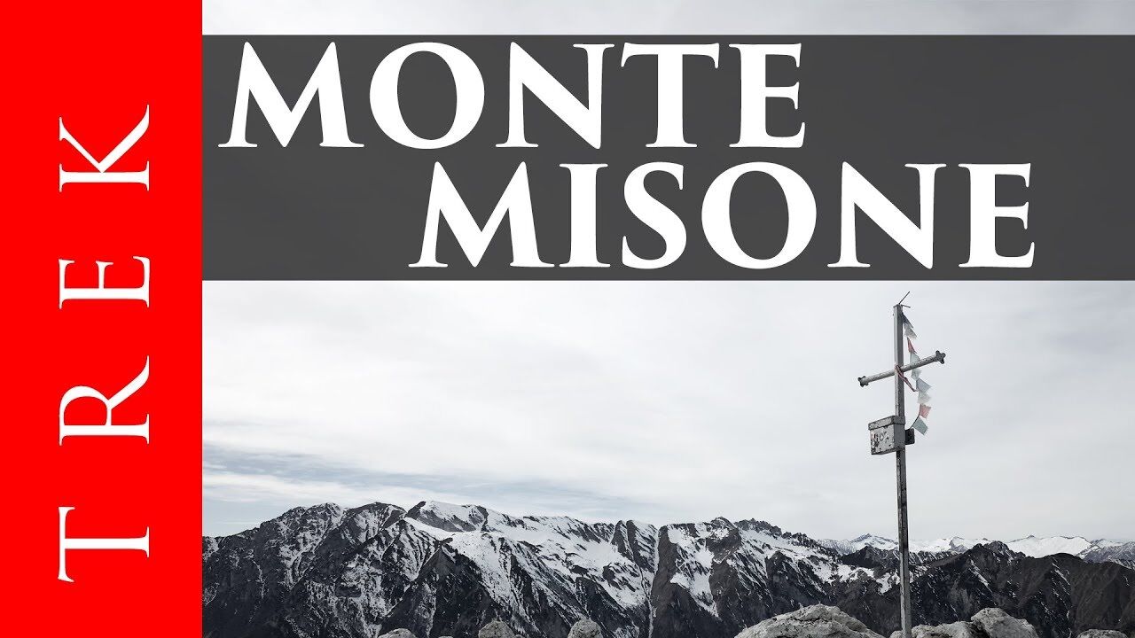
Monte Misone (1.803 m)4,2 km
- Najlepszy sezon
-
stylutmarkwimajczelipsiewrzpaźlisgru
- Najwyższy punkt
- 1.796 m
- Miejsce docelowe
-
Caminacol peak - Monte Misone
- Profil wysokości
-
 © outdooractive.com
-

-
AutorWycieczka On the summit of Monte Misone jest używany przez outdooractive.com pod warunkiem.
GPS Downloads


Informacje ogólne
Wskazówka dla osób mających dostęp do poufnych informacji
Flora
Obiecujący
Więcej wycieczek w regionach
-
Garda Trentino
661
-
Tenno
269