


Colbricon Lakes
Poziom trudności: T1
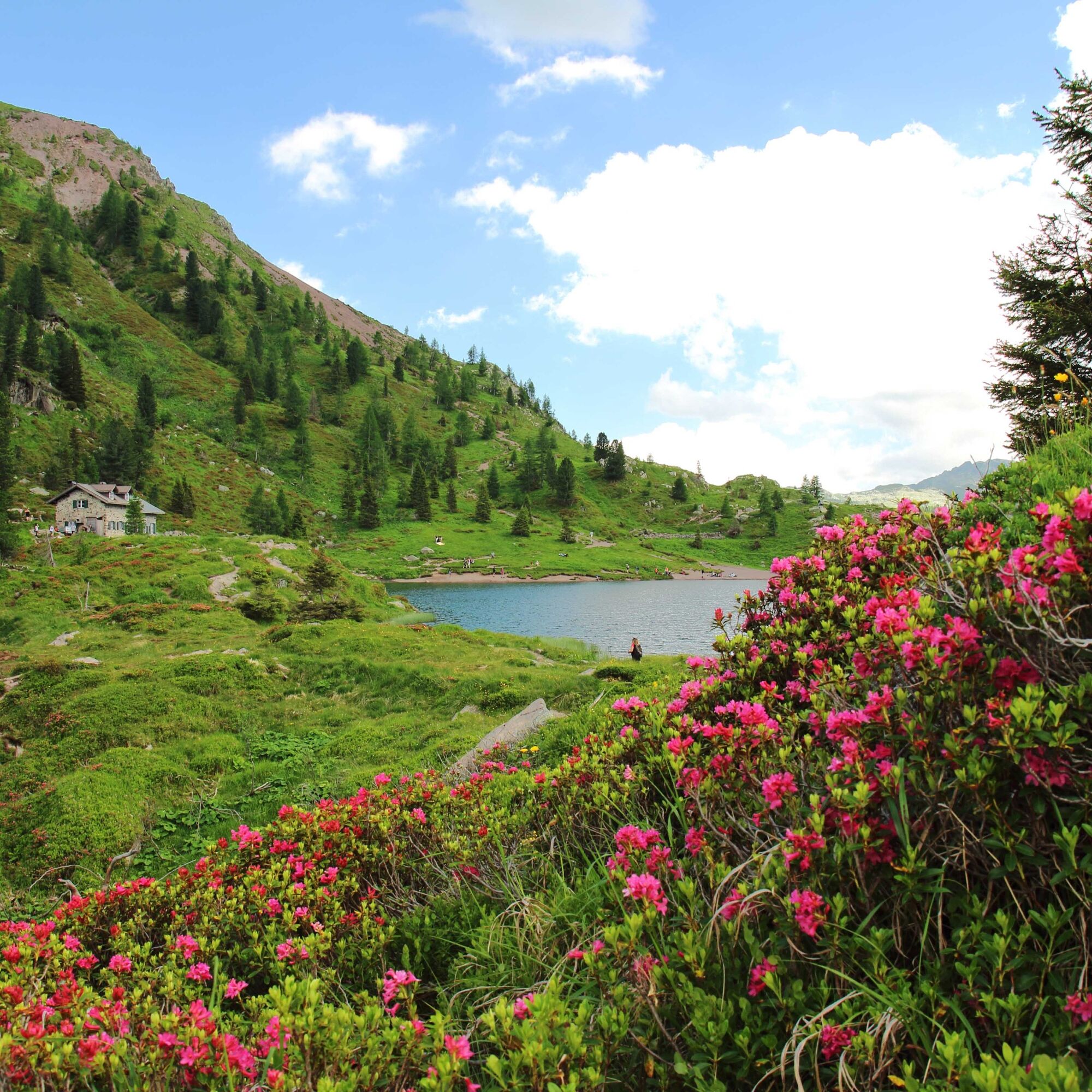
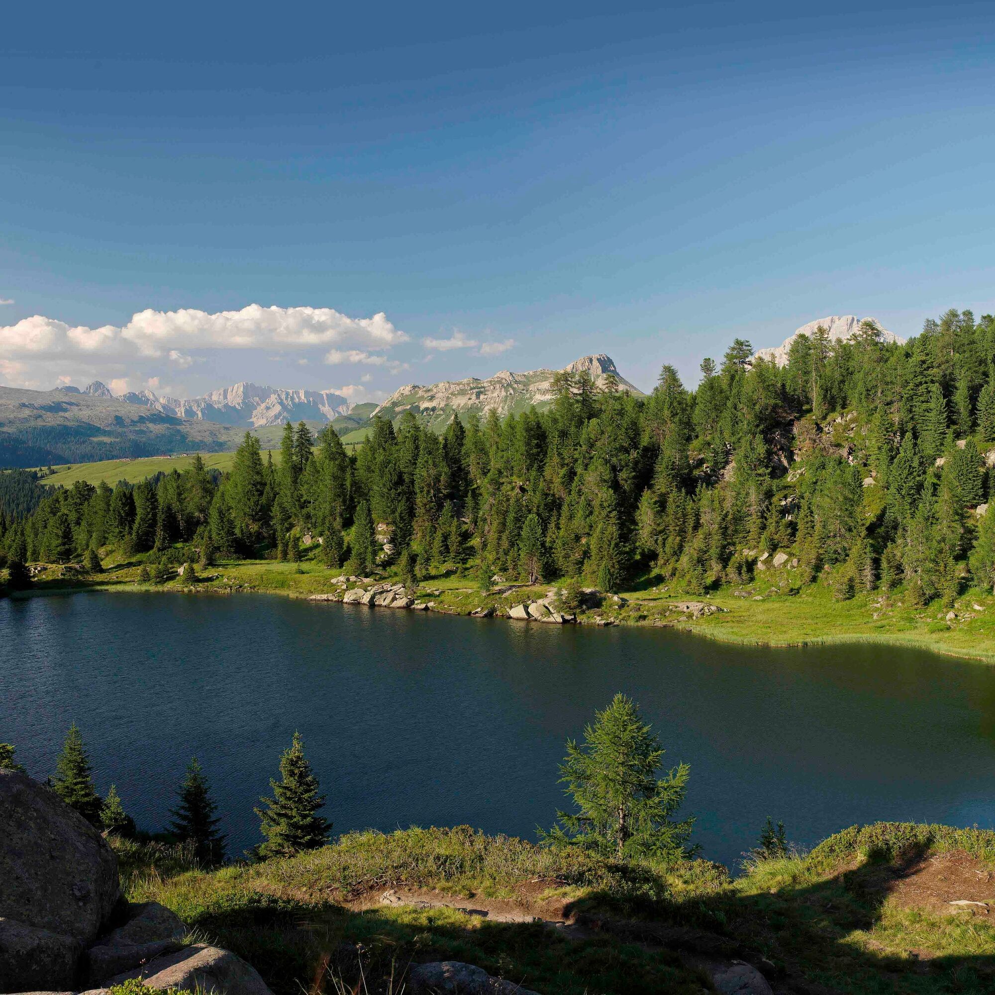
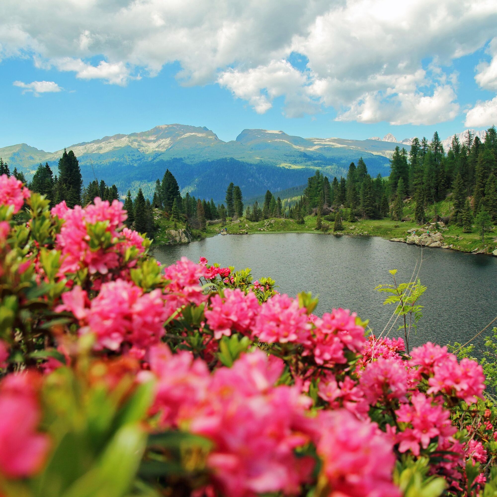
The comfortable walk on a flat path, although with some stones and roots, leads to two splendid mountain lakes, famous not only for their undeniable beauty, but also for having been the scene in the 7...
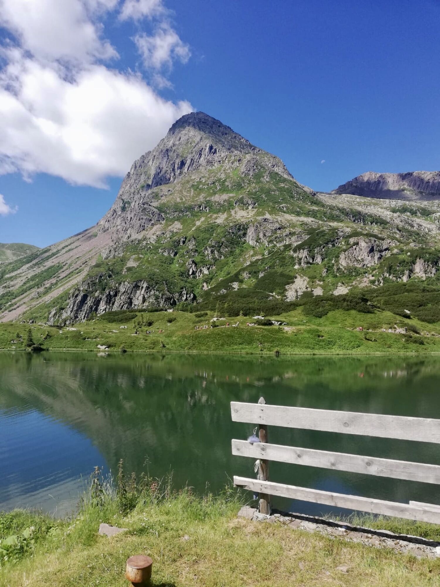
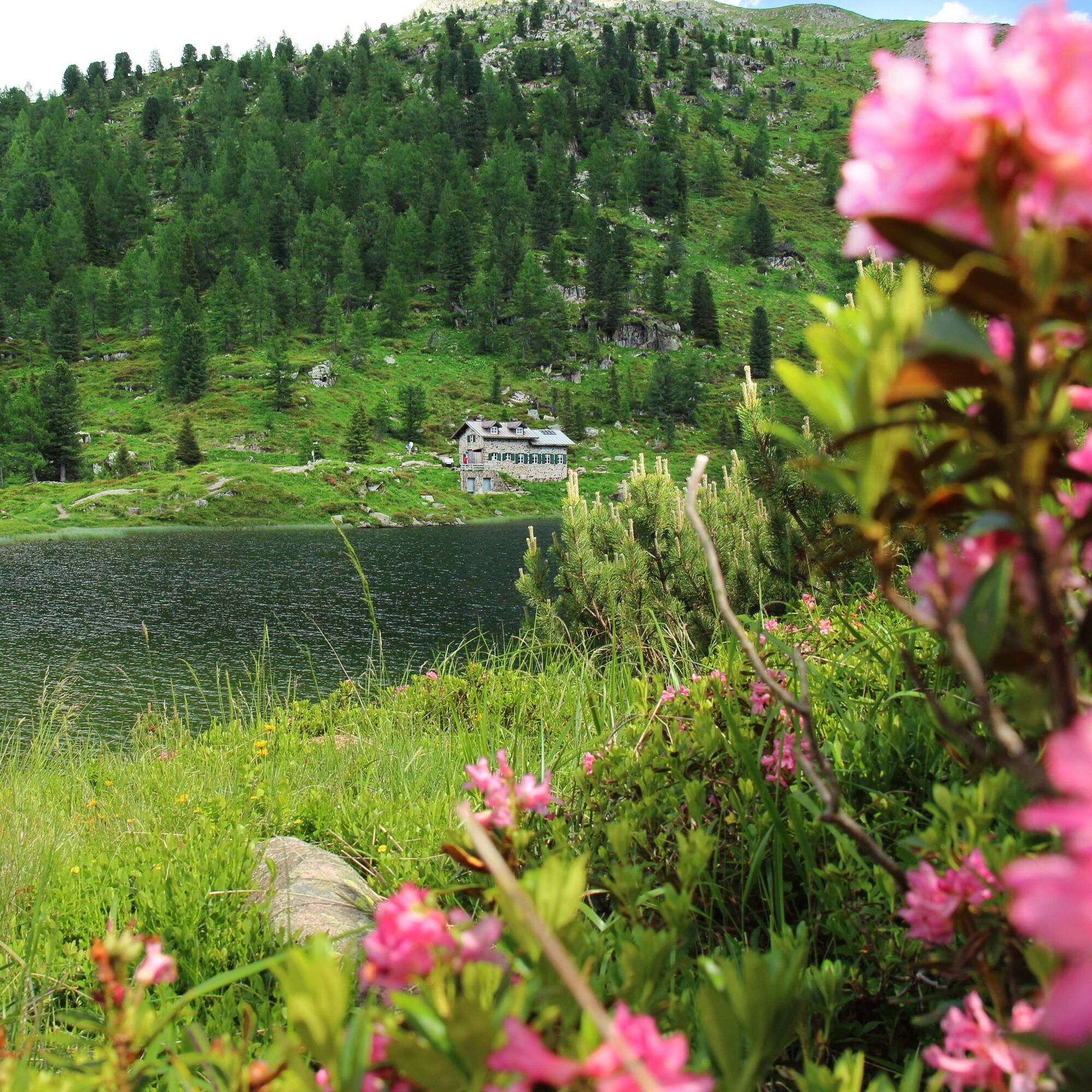
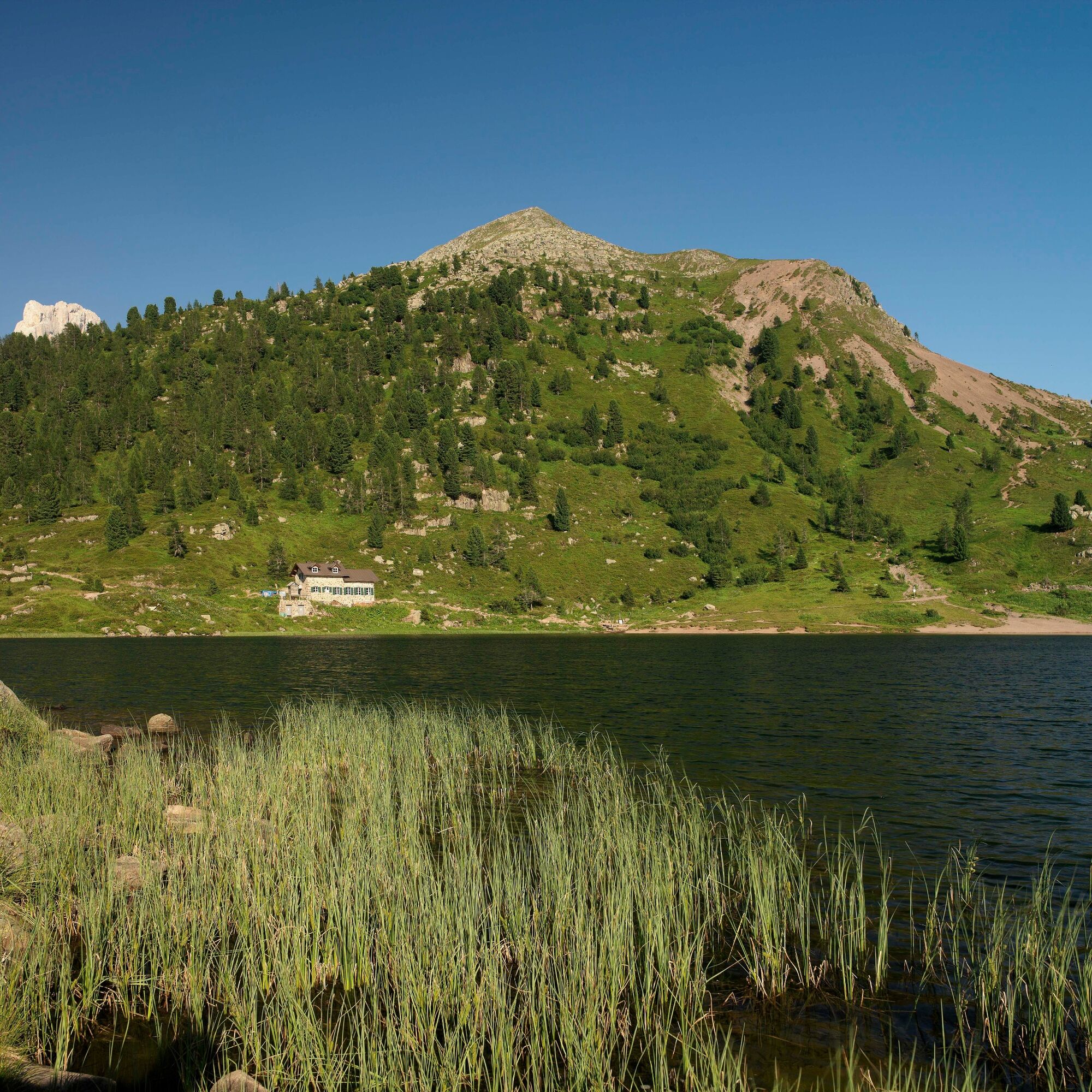
The comfortable walk on a flat path, although with some stones and roots, leads to two splendid mountain lakes, famous not only for their undeniable beauty, but also for having been the scene in the 70s of archaeological finds dating back to the Mesolithic era (10,000 - 8,000 years ago).
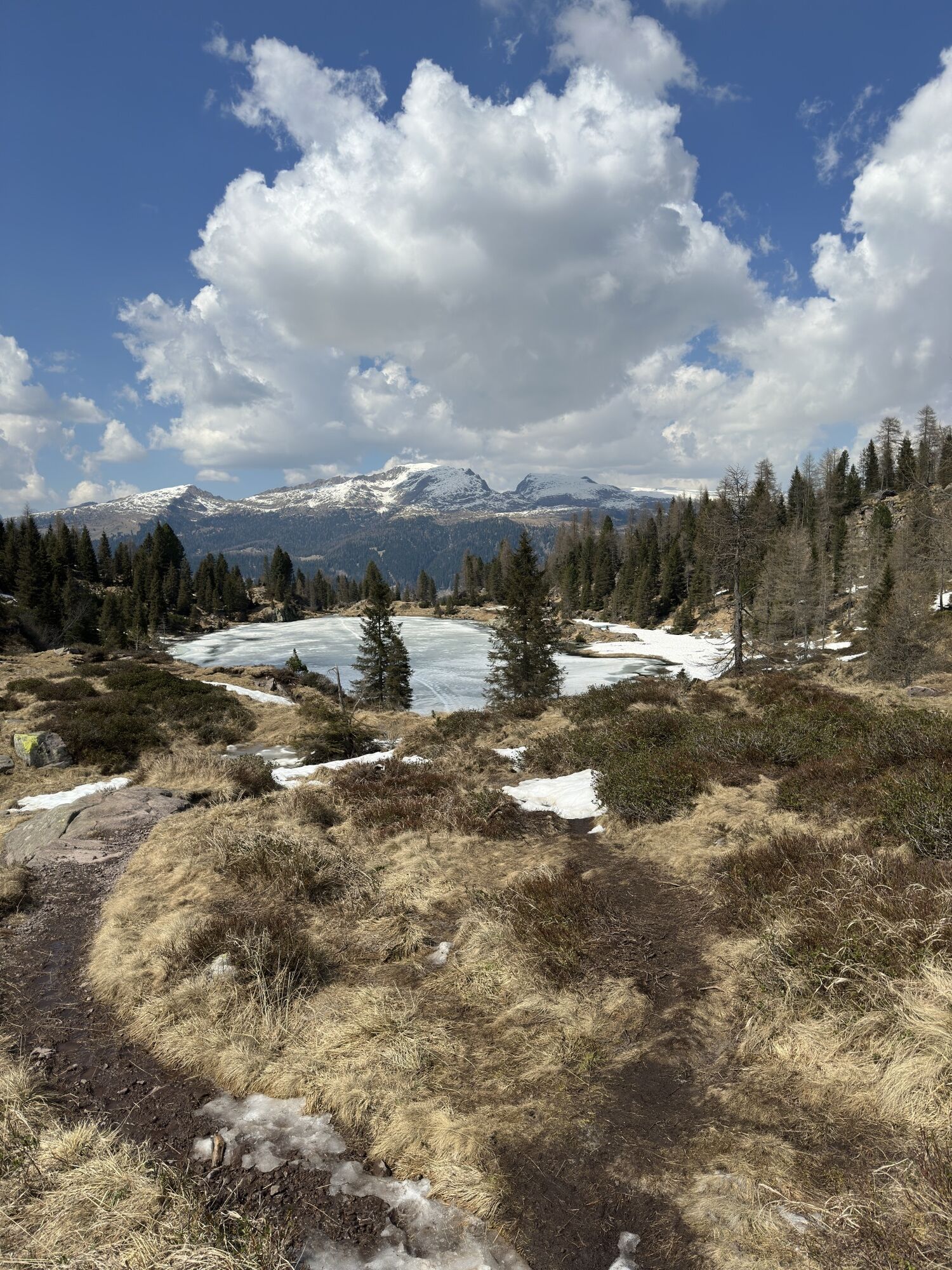
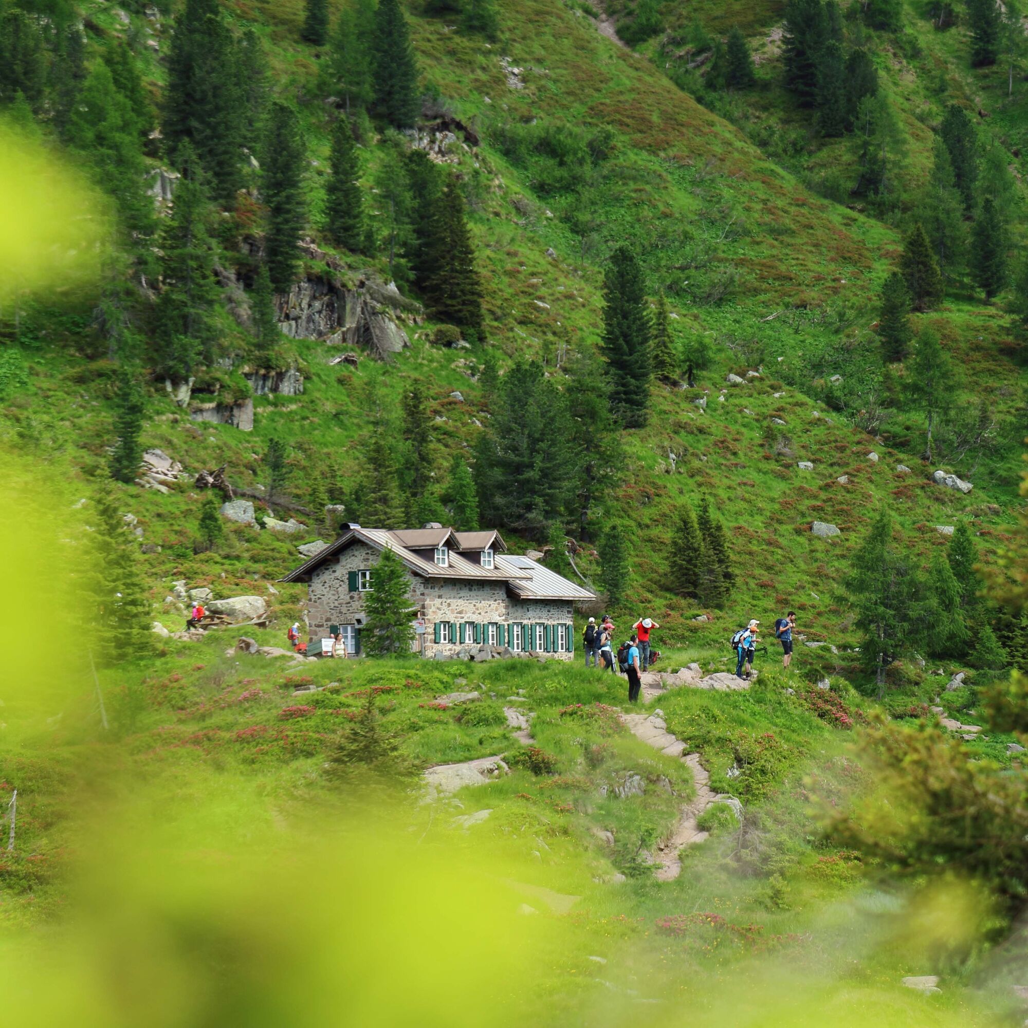
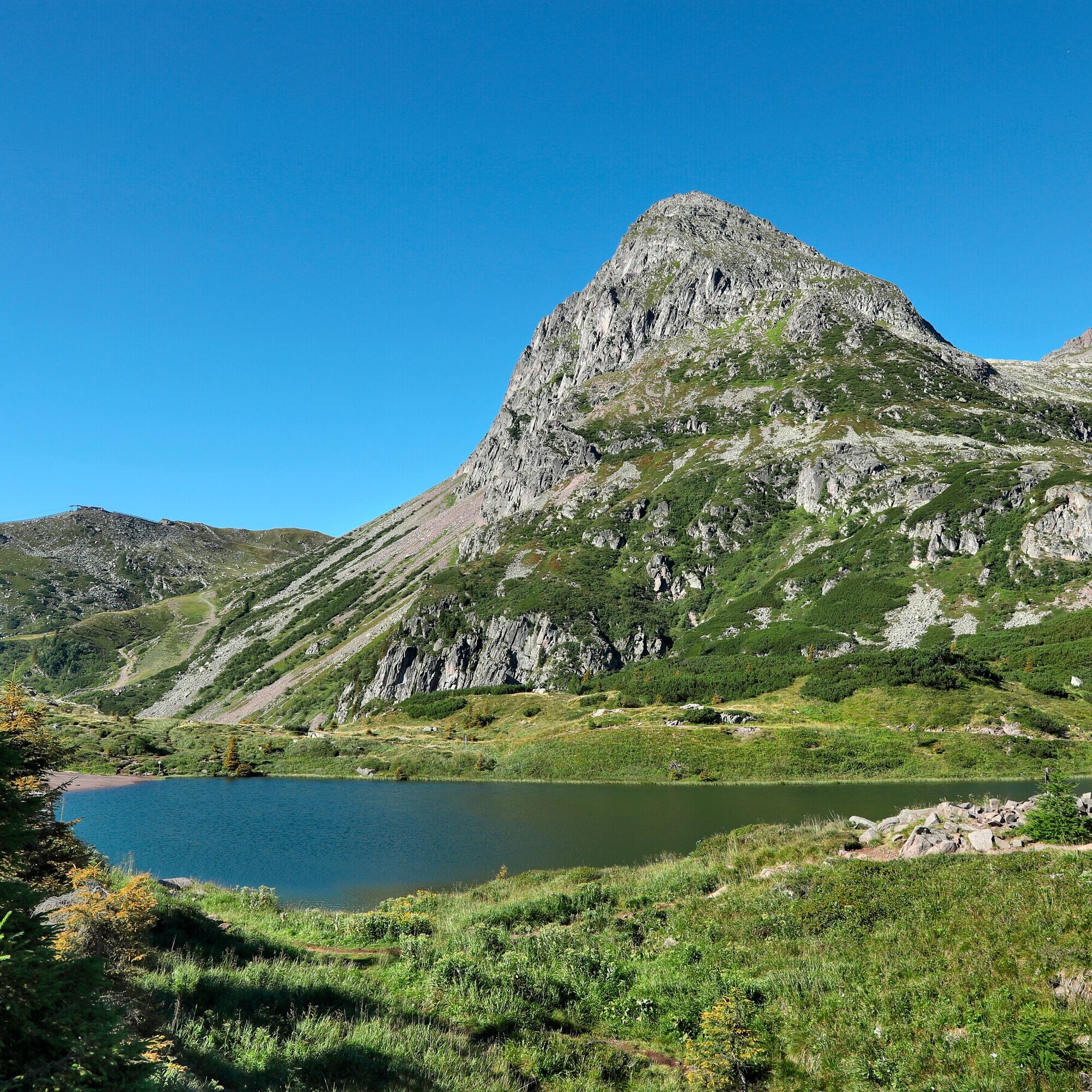
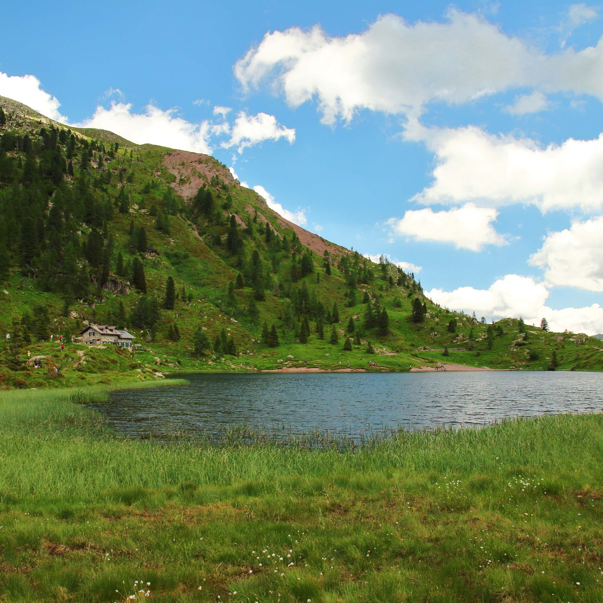
In less than an hour you arrive at the Colbricon hut, located right between the two lakes, at the foot of the Colbricon pyramid (2,062 m), which is the beginning of the long chain of porphyritic peaks of the Lagorai, from the Rolle Pass to the Altopiano (plateau) di Pinè.

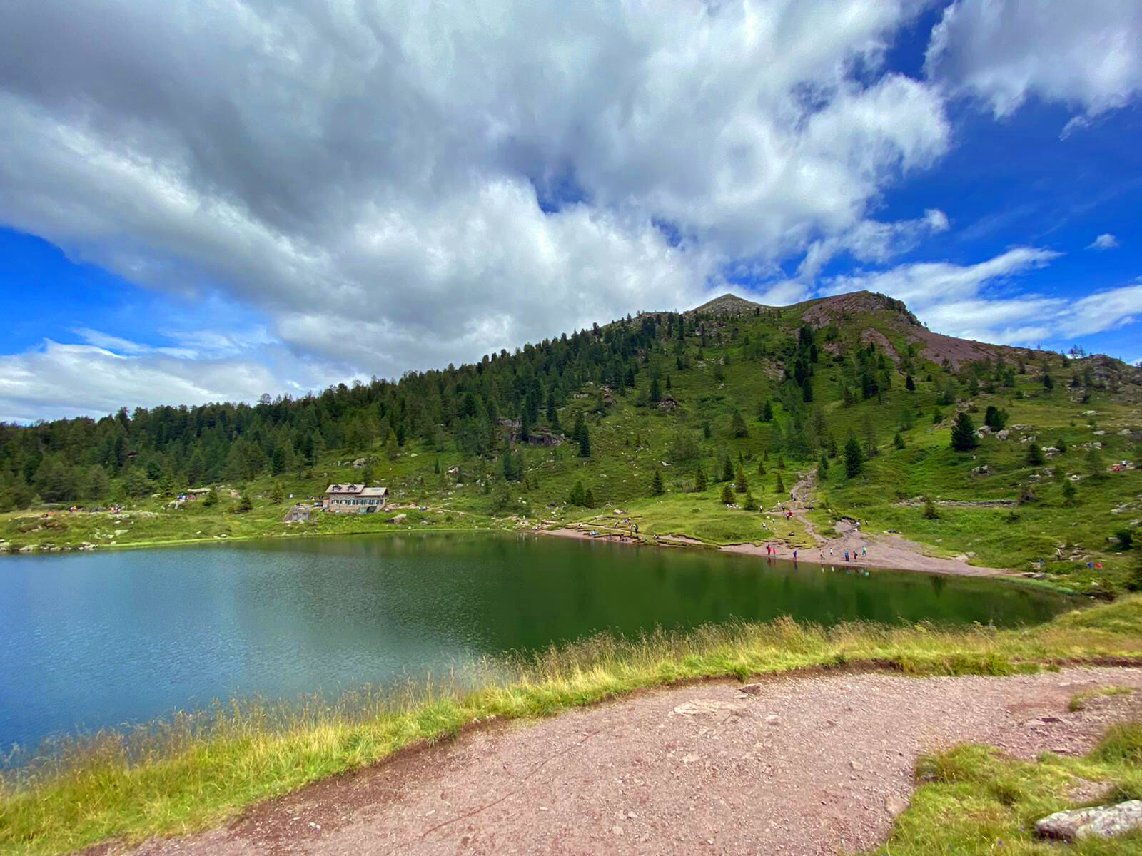
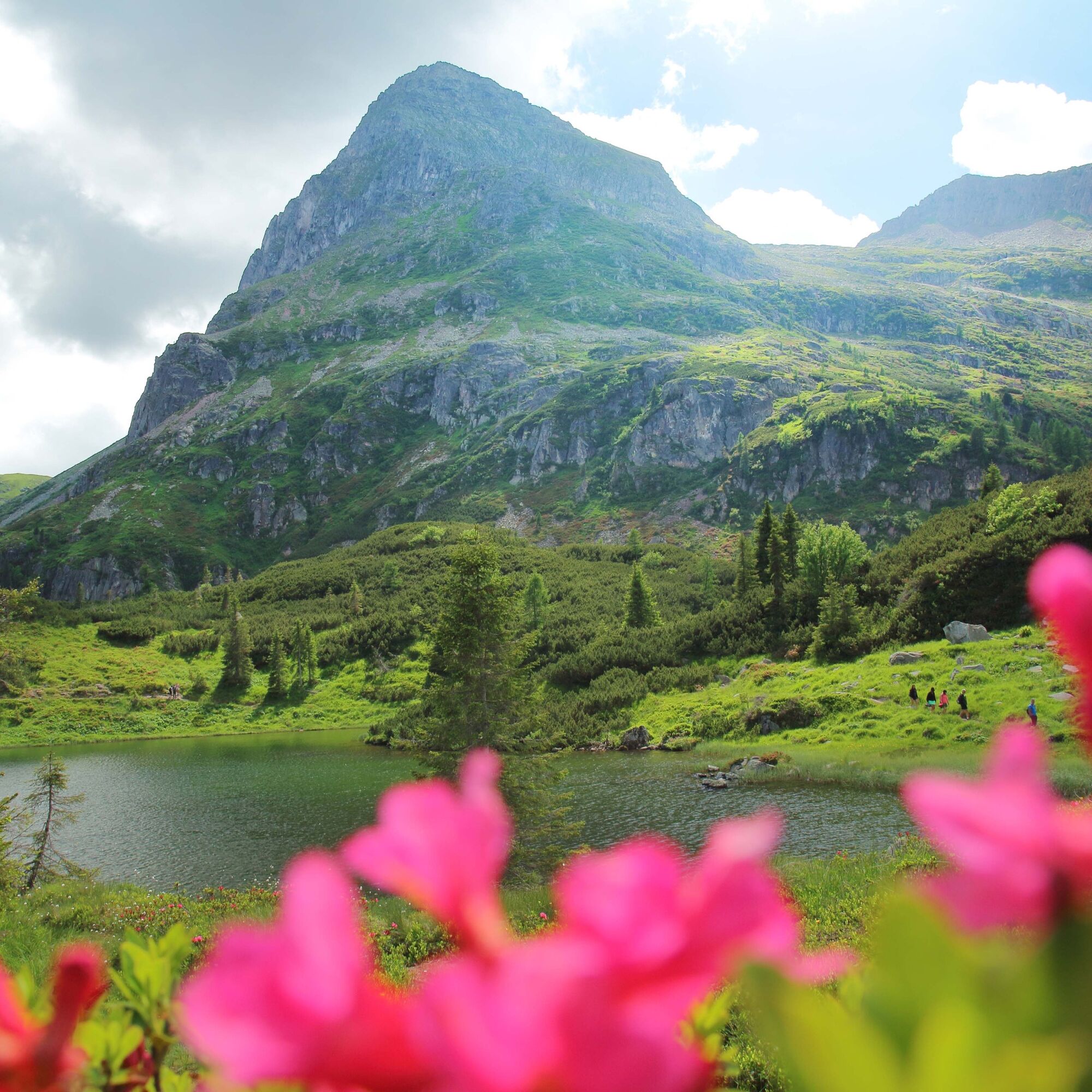
From Malga Rolle (alpine dairy - 1900 m) follow easy trail No 348 through the larches to the Laghetti di Colbricon (1922 m).
Return along the same trail
Tak
Tak
Hiking shoes, rain-jacket, hiking poles, water, sun cream
THE 10 RULES FOR HIKERS
Prepare your itinerary beforehand Choose an itinerary that suits your physical abilities Choose suitable clothes and equipment Check the weather forecast Hiking by yourself is more risky; if this is the case, take a mobile phone with you Leave information about your itinerary and your expected return time If you are not sure about your itinerary, contact an Alpine Guide Pay attention to signposts and directions that you find along your way Do not hesitate in going back if you feel too tired In case of emergency call 112Please note that the practicability of the itineraries in a mountain environment is strictly linked to the contingent conditions and is therefore influenced by natural phenomena, environmental changes and weather conditions. For this reason, the information contained in this page may have changed. Before leaving for a tour, make sure the path you will approach is still accessible by contacting the owner of the mountain hut, the alpine guides or the visitor centres of the nature parks, the info offices of the local tourist board.
From Predazzo take the road direction Passo Rolle.
Malga Rolle (diary) - 500 mt before Passo Rolle.
T1
APT Val di Fiemme - Tel. +39 0462 241111 - info@visitfiemme.it - www.visitfiemme.it
Do you want to go on a multi-day trek? This is the starting point of the legendary Translagorai, an itinerary in stages that crosses the Lagorai chain, from Passo Rolle to Passo Manghen.
Kamery internetowe z trasy


Popularne wycieczki w okolicy
-
4,5
San Pellegrino Pass - Fuciade - Val Fredda - Malga Boer - San Pellegrino Pass
średniWędrówka 11,1 km -
4,8
Cavallazza Peak
średniWędrówka 7,82 km -
5,0
The amazing Val Venegia and Baita Segantini - Tour 934
średniMountainbike 18,6 km -
2,0
The amazing Val Venegia
średniWędrówka 12,3 km -
5,0
San Pellegrino Pass - Fuciade - San Pellegrino Pass
średniWędrówka 6,83 km -
4,5
Tour of Lusia Lakes
średniWędrówka 13,0 km -
4,3
The three lakes
średniWędrówka 11,1 km -
5,0
Col Margherita - Geological Trail - Lake Cavia - San Pellegrino Pass
ciężkiWędrówka 7,82 km -
From the Pass to Fuciade, chasing the flavours of Ladin cuisine
średniRakieta do chodzenia po śniegu 7,41 km -
4,7
Costazza Peak from Val Venegia
średniRakieta do chodzenia po śniegu 8,58 km
Wędrówki i tropienie


Nie przegap ofert i inspiracji na następne wakacje
Twój adres e-mail została dodana do listy mailingowej.