







On Monte Valandro

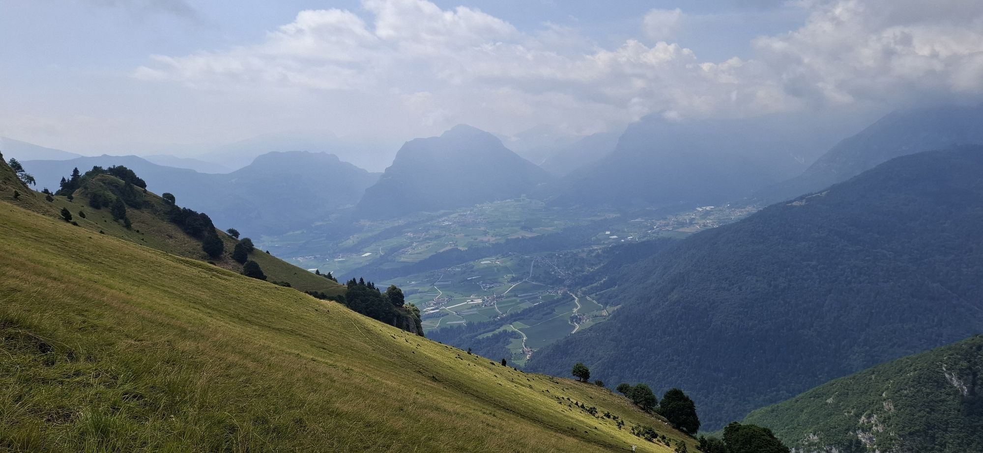
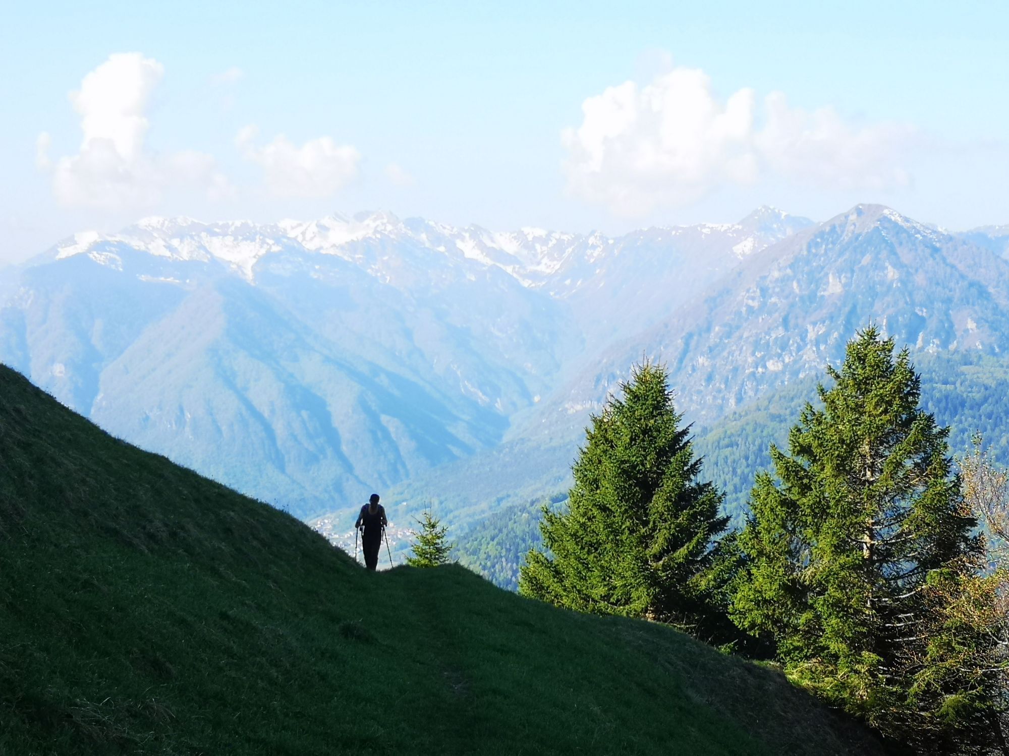
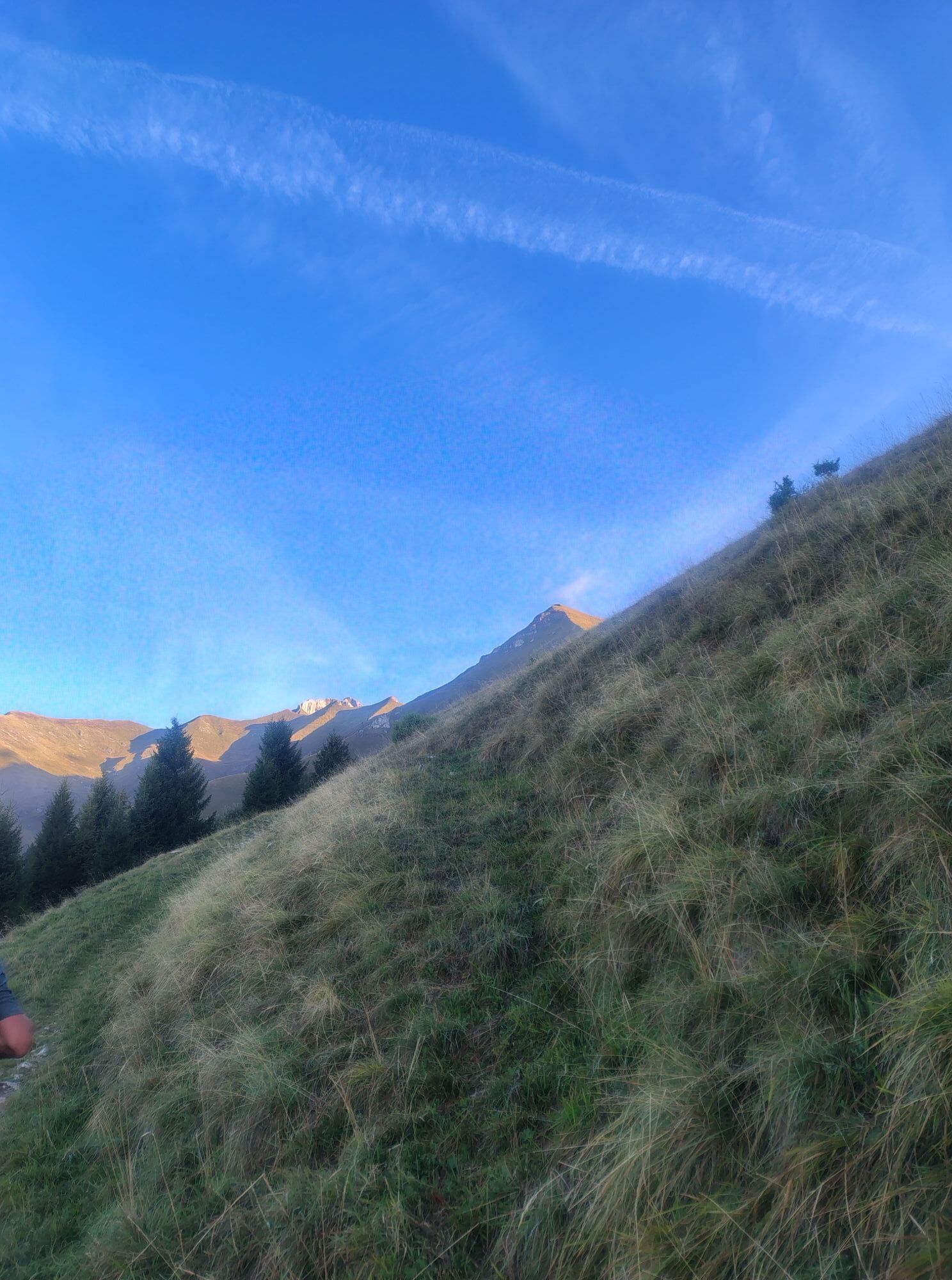
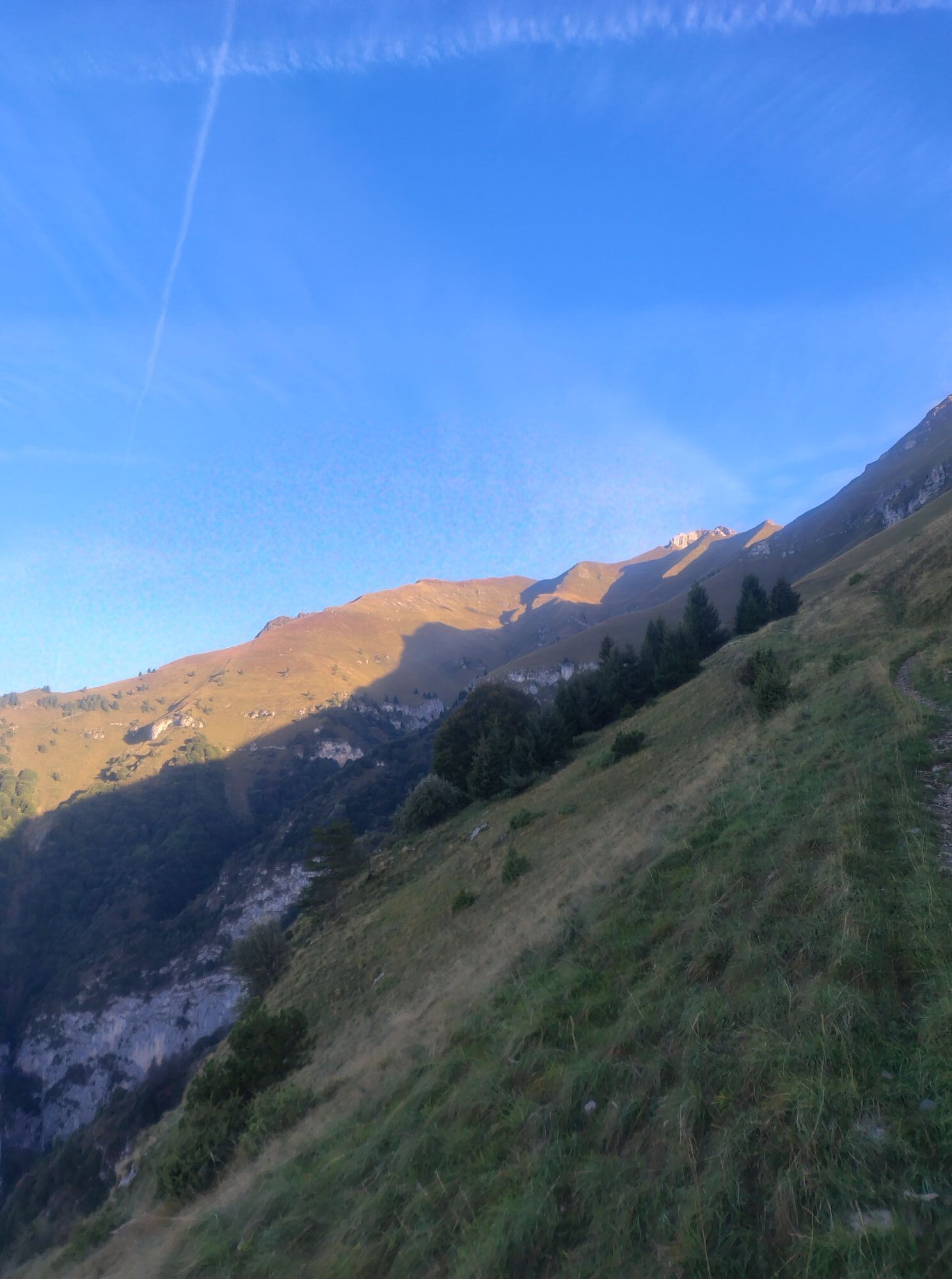
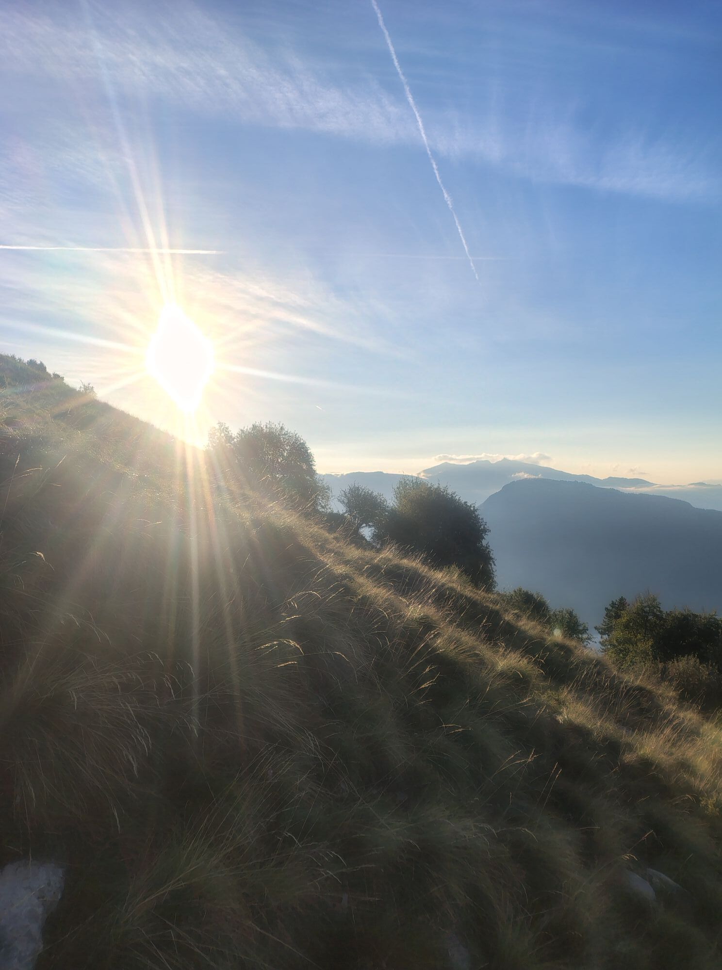
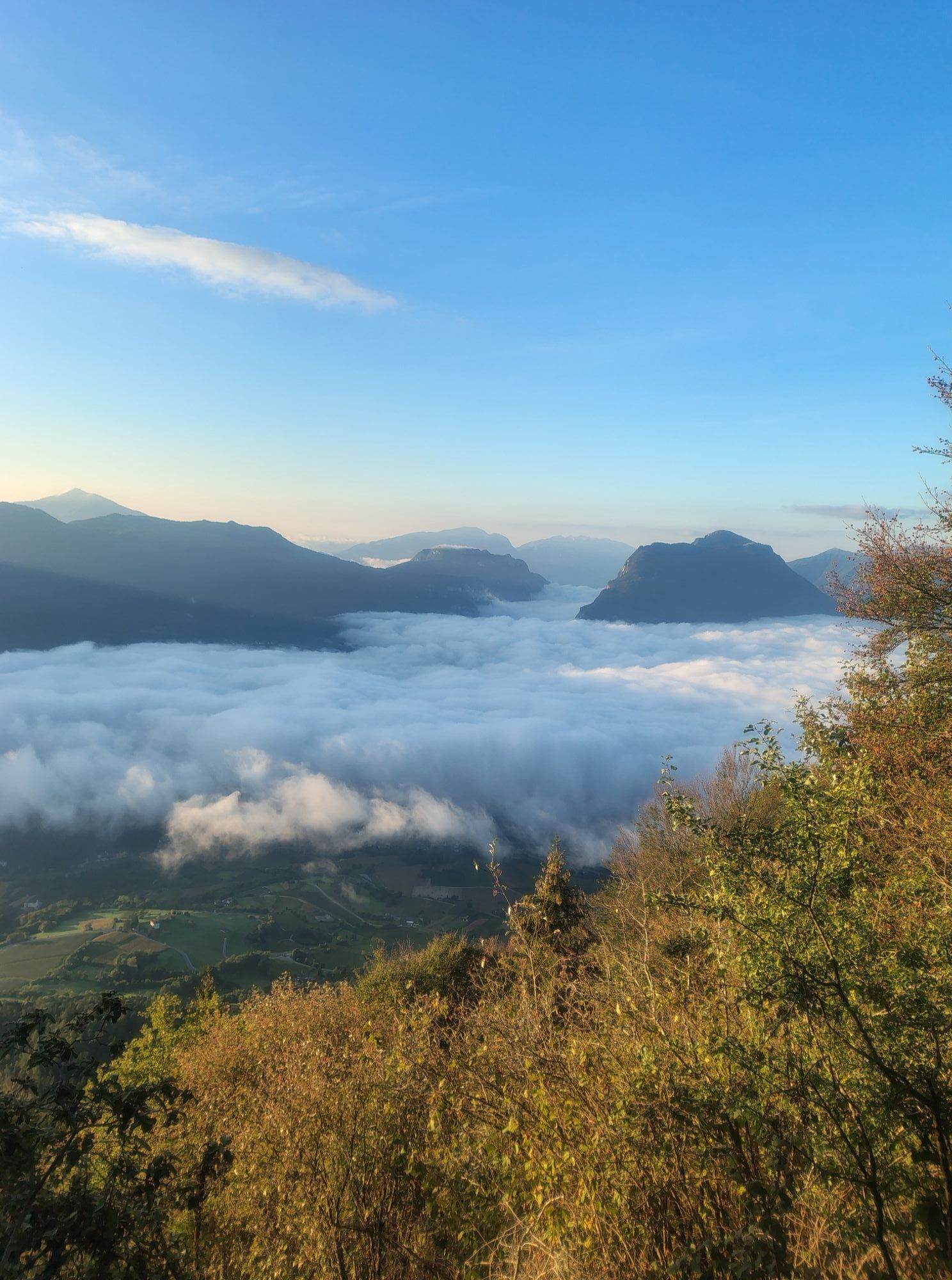
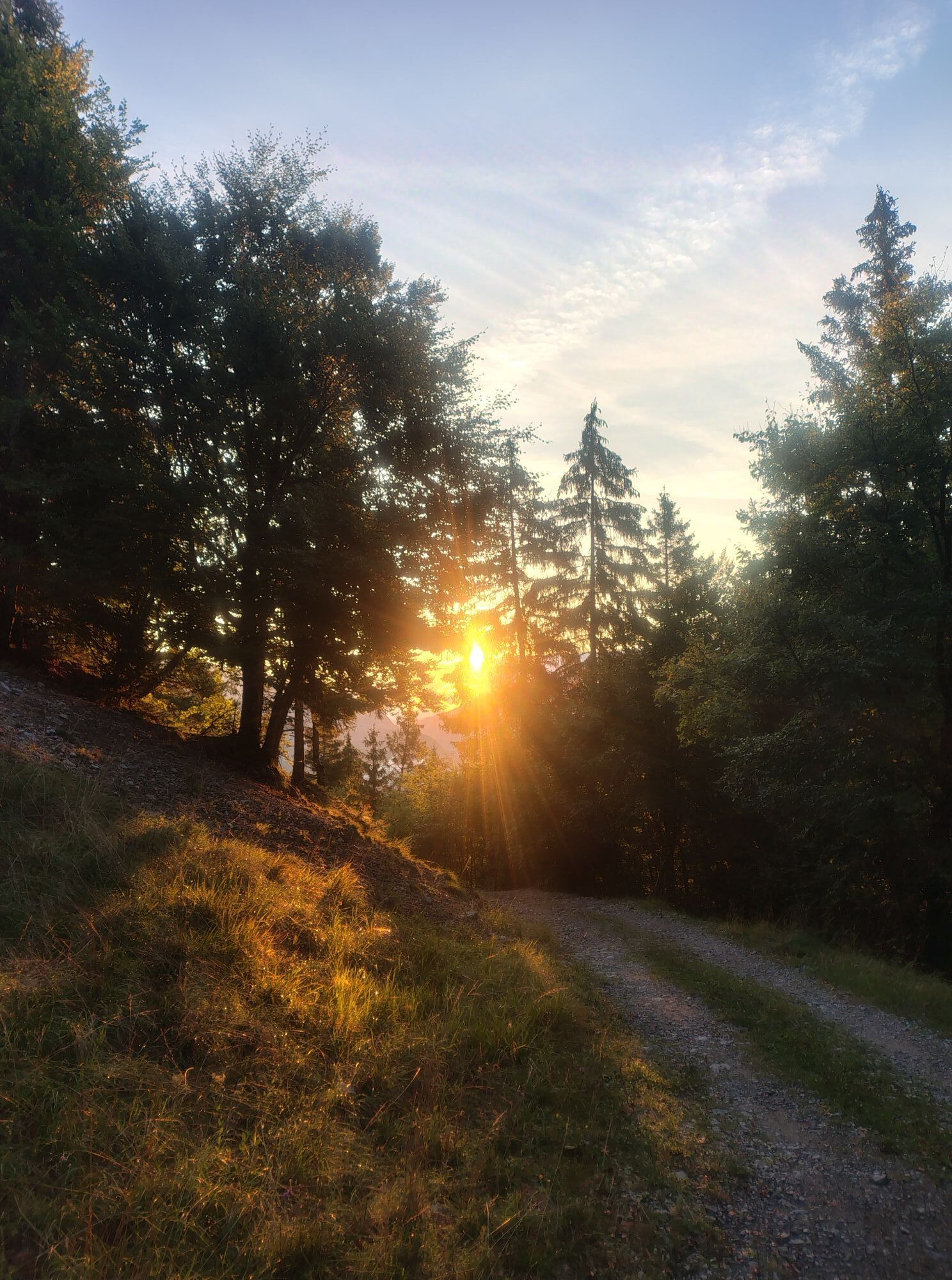
You will explore far-reaching grasslands and steep mountain slopes traced by ancient trails and discover remote and enchanting places, step by step in harmony with nature.

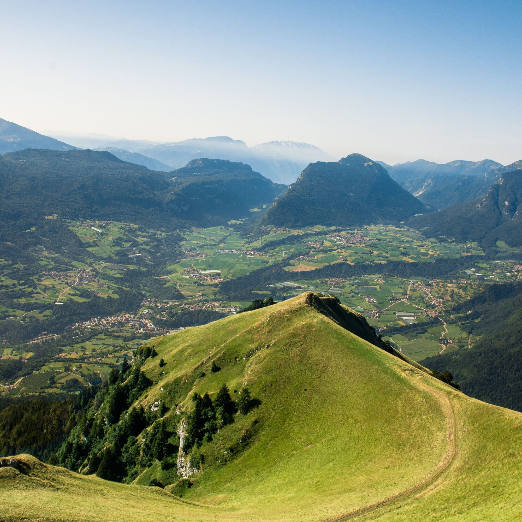
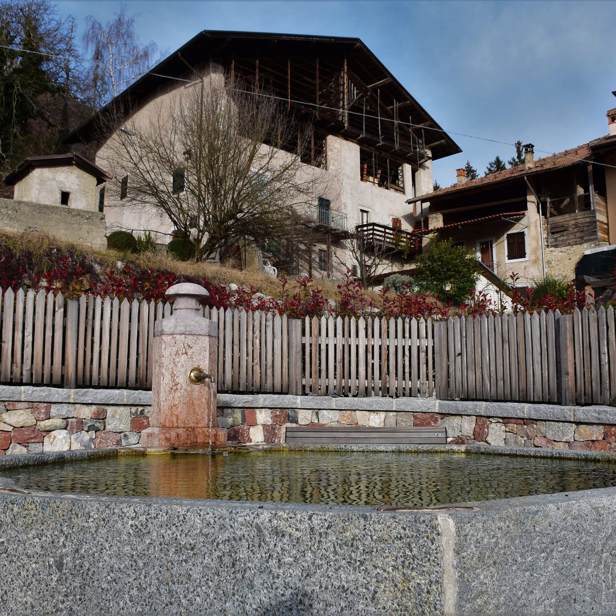
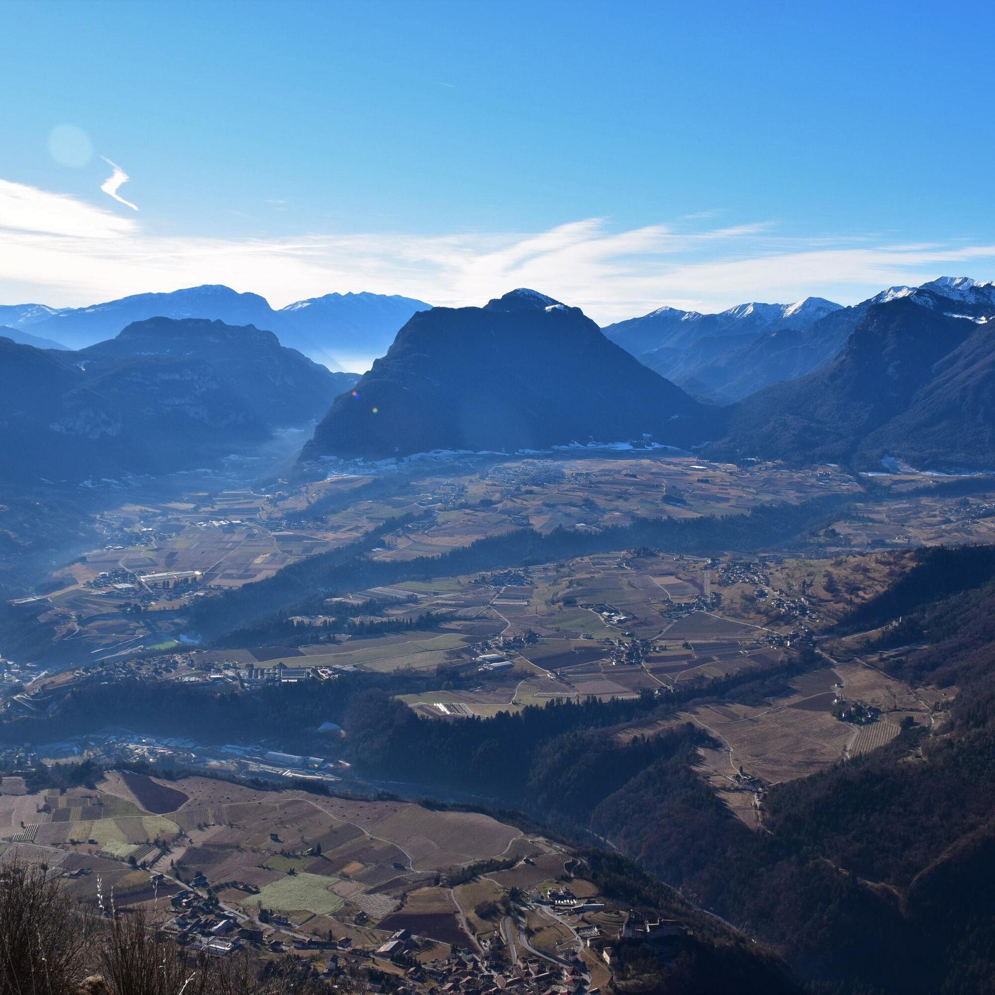
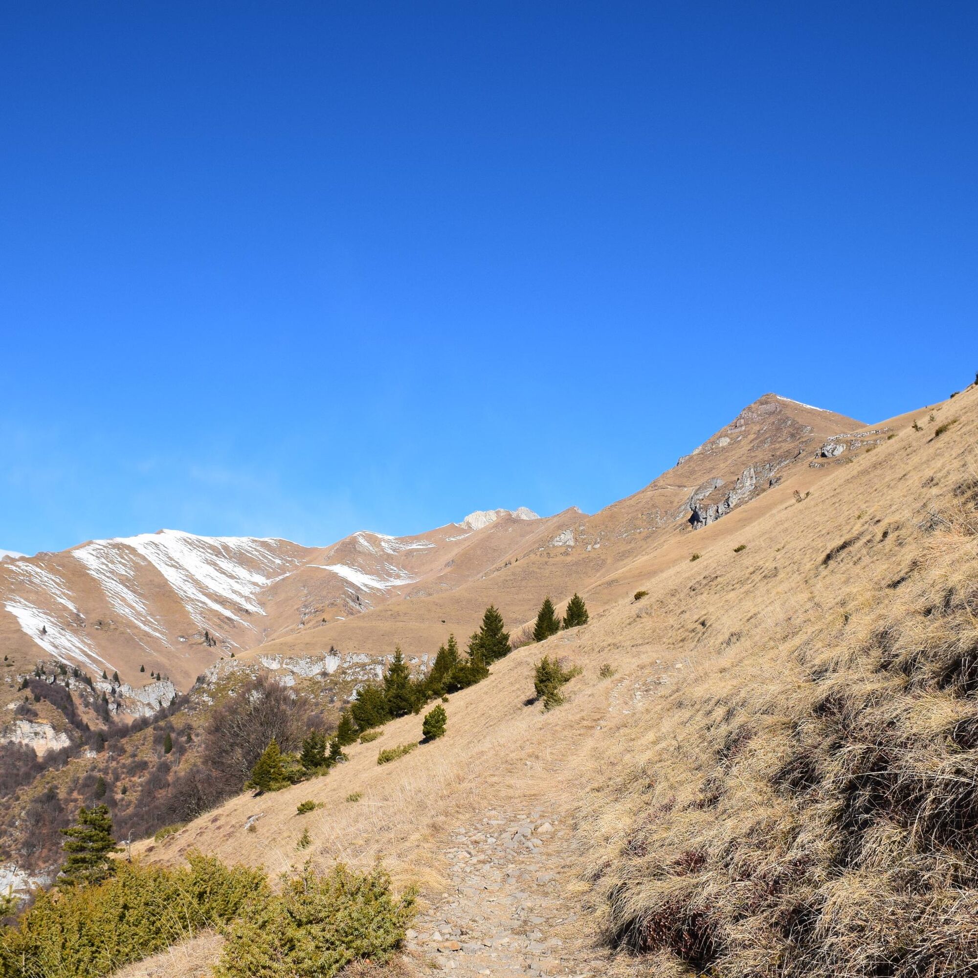
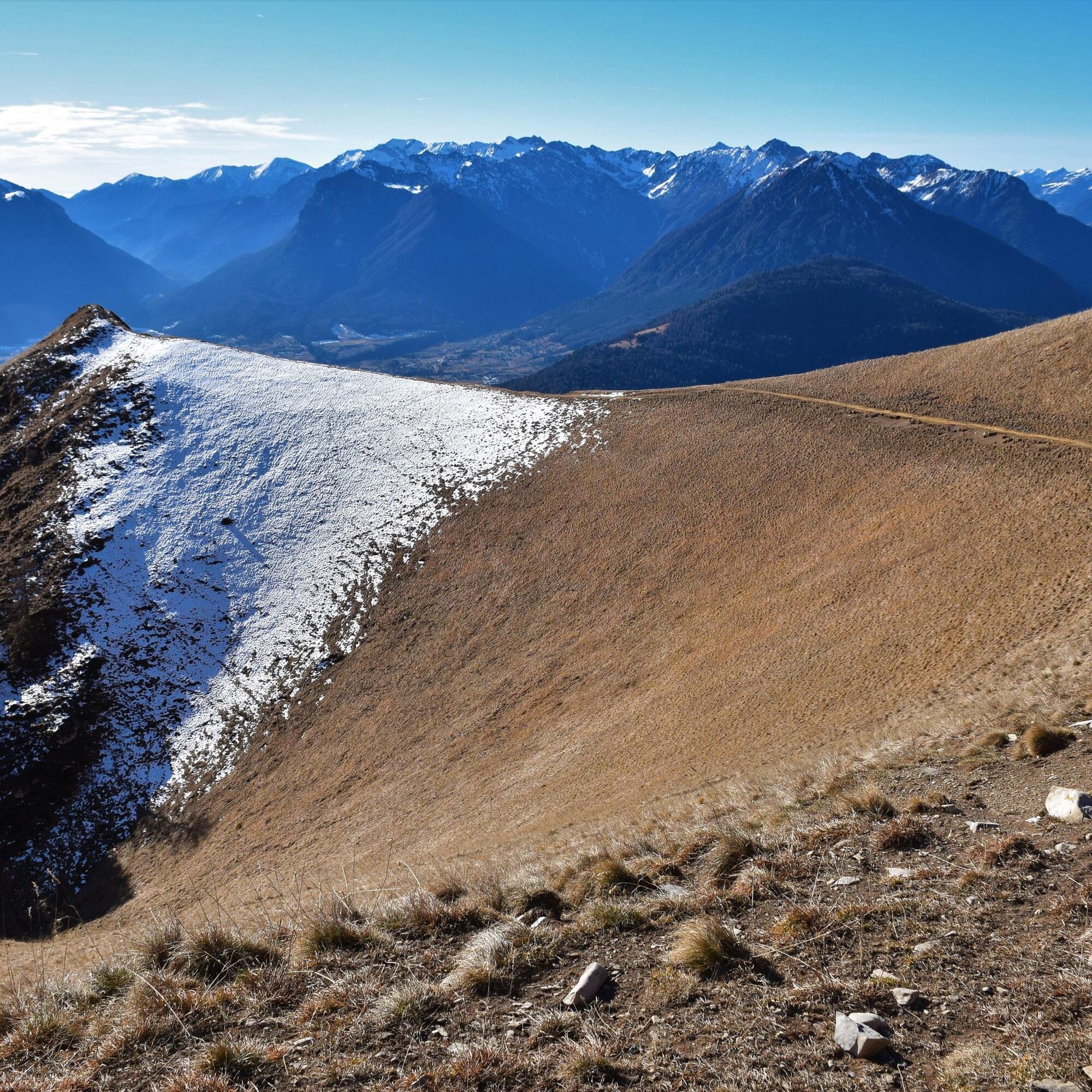
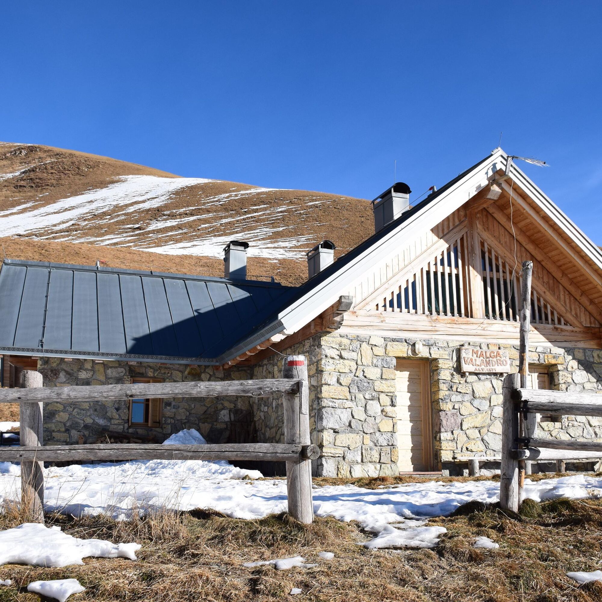

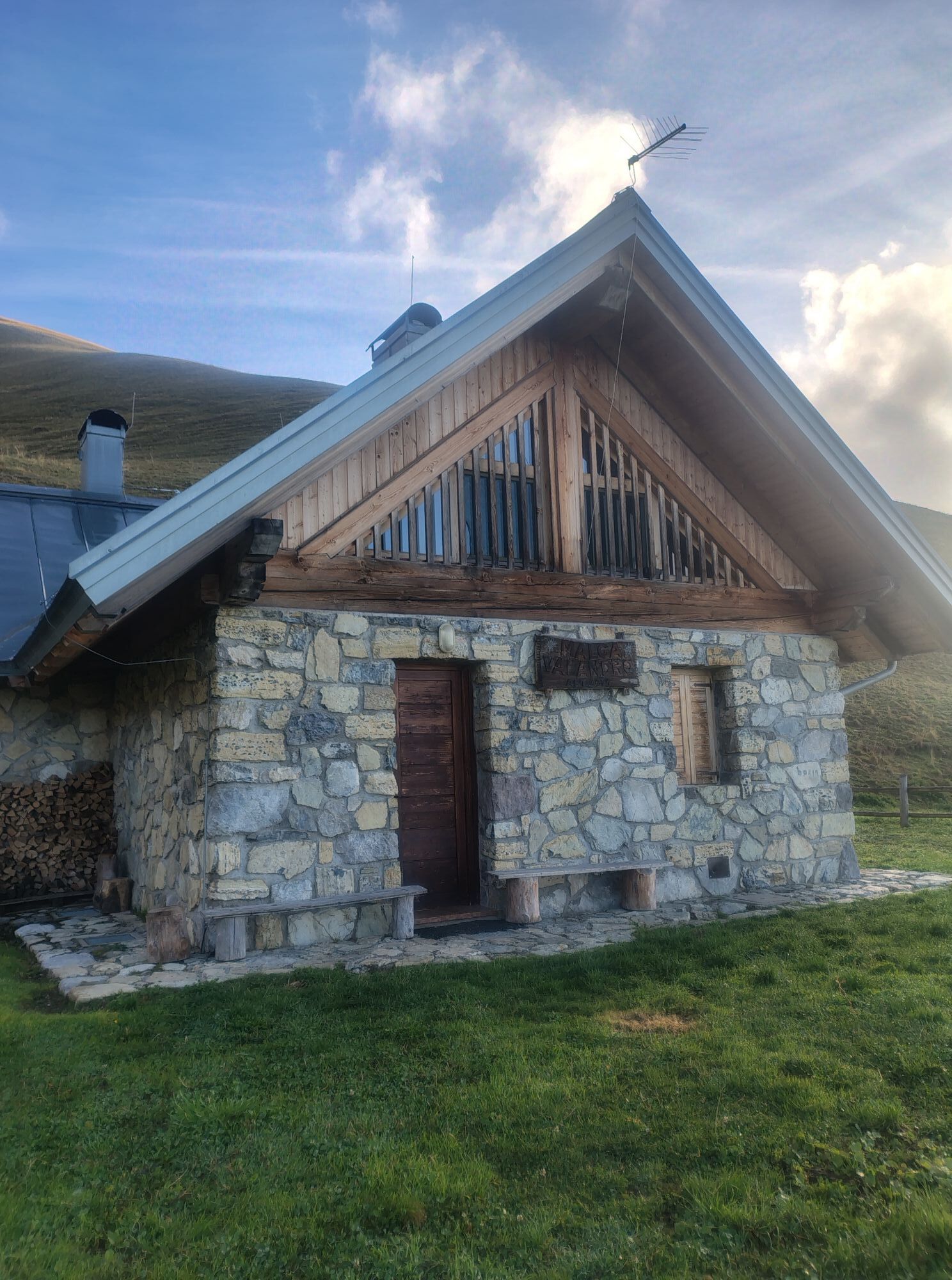
Leave the car near the small church of Seo (832m), located on the sides of Mount Valandro; here, the SAT 348 path starts following, in some stretches, the old cattle track with its cobblestones still showing the marks left by the sledges which were used to transport the hay down the valley from the pastures of Velandro and Brugnol. The road rises steep through the sun-drenched woods that cover the south sides of Gruppo Brenta; at the end of the forest road, continue on the cattle track going past the memorial “Caputel de Vessa” and further on, some rocky outcrops to reach “Localita’ I Salti”. Further ahead, the cattle track enters in the vast fields of Valandro; here, leave on your left the 346 path coming from Stenico and “Capitèl de la Spina”. Walk up the 348 path along a steep slope towards Malga Valandro, leaving baita Beningni on the hill on the right. After crossing a small pass, the path continues following the naturally undulant terrain to reach Malga Valandro, a recently renovated farmstead located in a vast grassy basin. The path leads further ahead to Malga Asblez, in Val di Jon and to the Agostini & Al Cacciatore mountain huts. After stopping at the farmstead, make your way back retracing the same path.
Monte Valandro, commonly known by the locals as “El Mont de Sténech” (Mount of Stenico), rises above the villages of Stenico, Seo and Scelmo. A mighty and imposing mountain, treeless and blessed with sunshine throughout the day, behind which you can see the Parco Naturale Adamello-Brenta and the Gruppo del Brenta spreading out in all their splendour. Viewed from the bottom of the valley, as it juts out above the rocky outcrops below it, it features steep sides covered in green pastures which were, in the past, harvested but are now left for alpine grazing. Up to 1970, it was also training ground for the artillery whose headquarters were in Fiavè and in Val Lomasona.
Tak
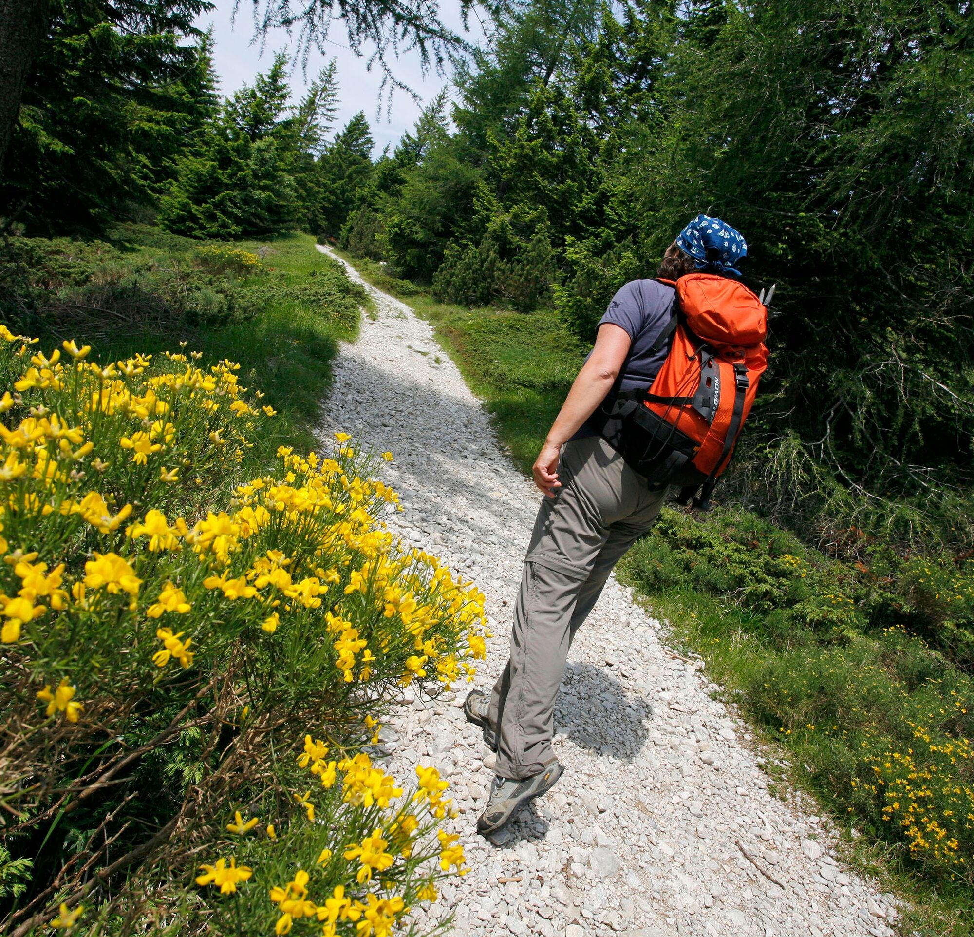
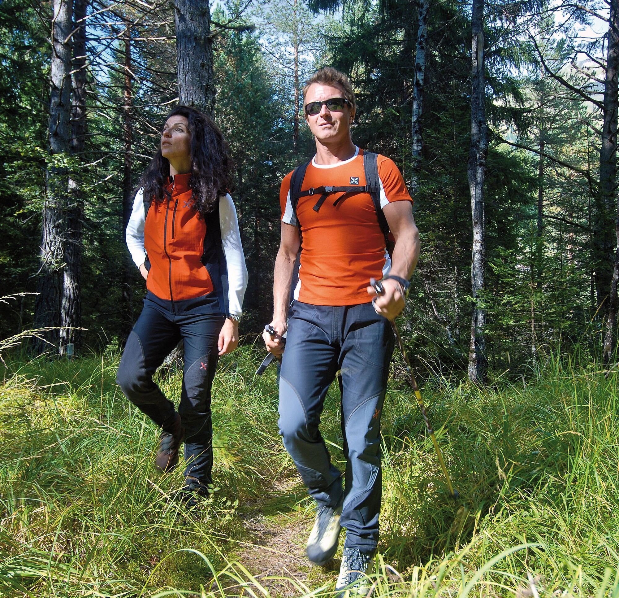
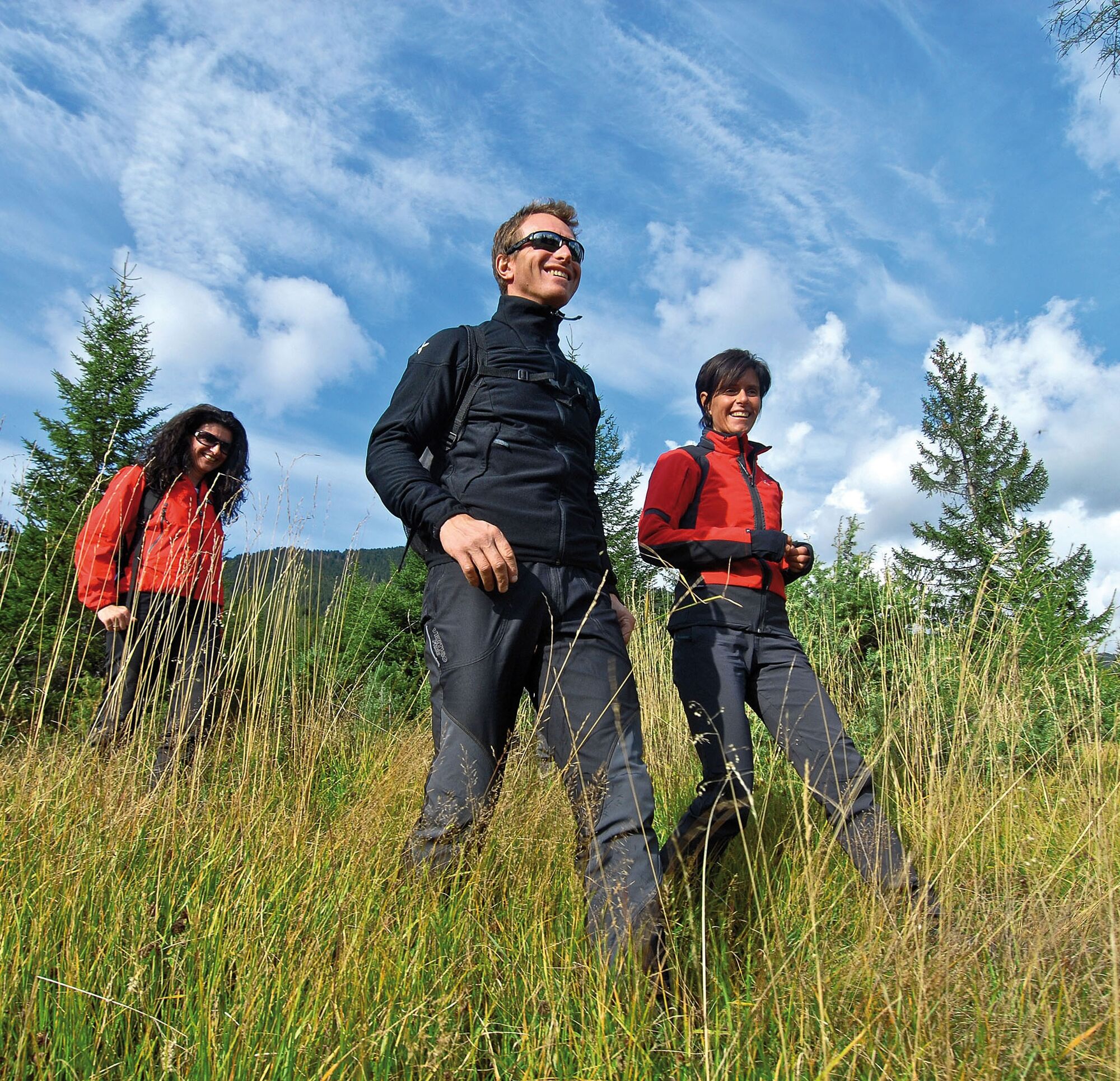
You need to wear the right clothing and take the proper gear when you go hiking in the mountains. Even on relatively short easy outings make sure to take all you need so you don't run into trouble if things take an unexpected turn, for example a storm blows up or you have a sudden drop in energy levels.
What should you take when you go on a hike?
Your rucksack (for a day trip a 25/30L capacity should do) should contain:
water canteen (1L) snacks (e.g. mixed dried fruit or chocolate) First aid kit windproof jacket fleece change of t-shirt and socks (in a plastic bag) make sure to wear or at least bring a pair of long trousers hat sun screen sunglasses gloves whistle to attract attention in an emergencyMake sure you're wearing the right footwear for the trail and season. The going can get rough and rocky underfoot and a pair of hiking boots will protect you from sprains. When wet, a grassy slope, rocky slab or steep trail can be dangerous unless you are wearing the proper footwear.
And finally... don't forget to bring your camera! You'll need it to capture the stunning views you come across all over Garda Trentino. And if you like, you can share your memories with us at #GardaTrentino.
Emergency telephone number 112.
Safety Tips
Choose itineraries that suit your physical and technical abilities. Collect information about the area you are visiting and the trail’s conditions and get a detailed trekking map. Wear clothes and take equipment that suit the difficulty and length of your tour. Keep emergency gear in your rucksack, including first aid supplies. Do not go walking alone in the mountains. In any case, tell someone where you are going and report back on returning. Look at the weather forecast before setting off and always keep an eye on the weather. In case of doubt, go back. It is better to give up than risk bad weather or face difficulties beyond your strength, ability and equipment. Do not leave marked paths and do not take shortcuts. All described walks are in a natural environment and therefore their use is at your own risk.This information is subject to inevitable variations, so none of these indications are absolute. It is not entirely possible to avoid giving inexact or imprecise information, given how quickly environmental and weather conditions can change. For this reason, we decline any responsibility for changes which the user may encounter. In any case, it is advisable to check environment and weather conditions before setting out.
From Ponte Arche/Comano Terme head towards Stenico and from here continue till you arrive in the little village of Seo (6km).
Find out how to reach Garda Trentino.
Free parking in Piazza Pietro Parolari in Seo.
For more information on routes, services (guides, mountain huts, shops etc.) and hiking friendly accommodation: Garda Trentino - +39 0464 554444
Popularne wycieczki w okolicy
-
5,0
Via Ferrata Signora delle Acque - Rio Ruzza
ciężkiVia ferrata 5,32 km -
4,8
Via Ferrata Rio Sallagoni
średniVia ferrata 2,75 km -
4,6
Ciclabile dei Laghi Torbole – Sarche Cycle path
średniJazda na rowerze 24,8 km -
4,3
Malga Movlina and Rifugio XII Apostoli
średniWędrówka 11,6 km -
4,2
Laghel - Tour
średniMountainbike 10,3 km -
4,6
The Calavino Water Channel
średniWędrówka 3,79 km -
4,2
Monte Colodri - Colt
średniWędrówka 9,94 km -
4,2
Sentiero dell'Anglone + Sent. Scaloni (A/B)
Via ferrata 7,01 km -
5,0
On the summit of Monte Misone
średniWędrówka 8,36 km -
4,7
San Lorenzo Dorsino - Ponte Romano - Molveno
światłoWędrówka 10,6 km

Wędrówki i tropienie


Nie przegap ofert i inspiracji na następne wakacje
Twój adres e-mail została dodana do listy mailingowej.





