







19. Marmitte, Castel Penede and Strada Santa Lucia
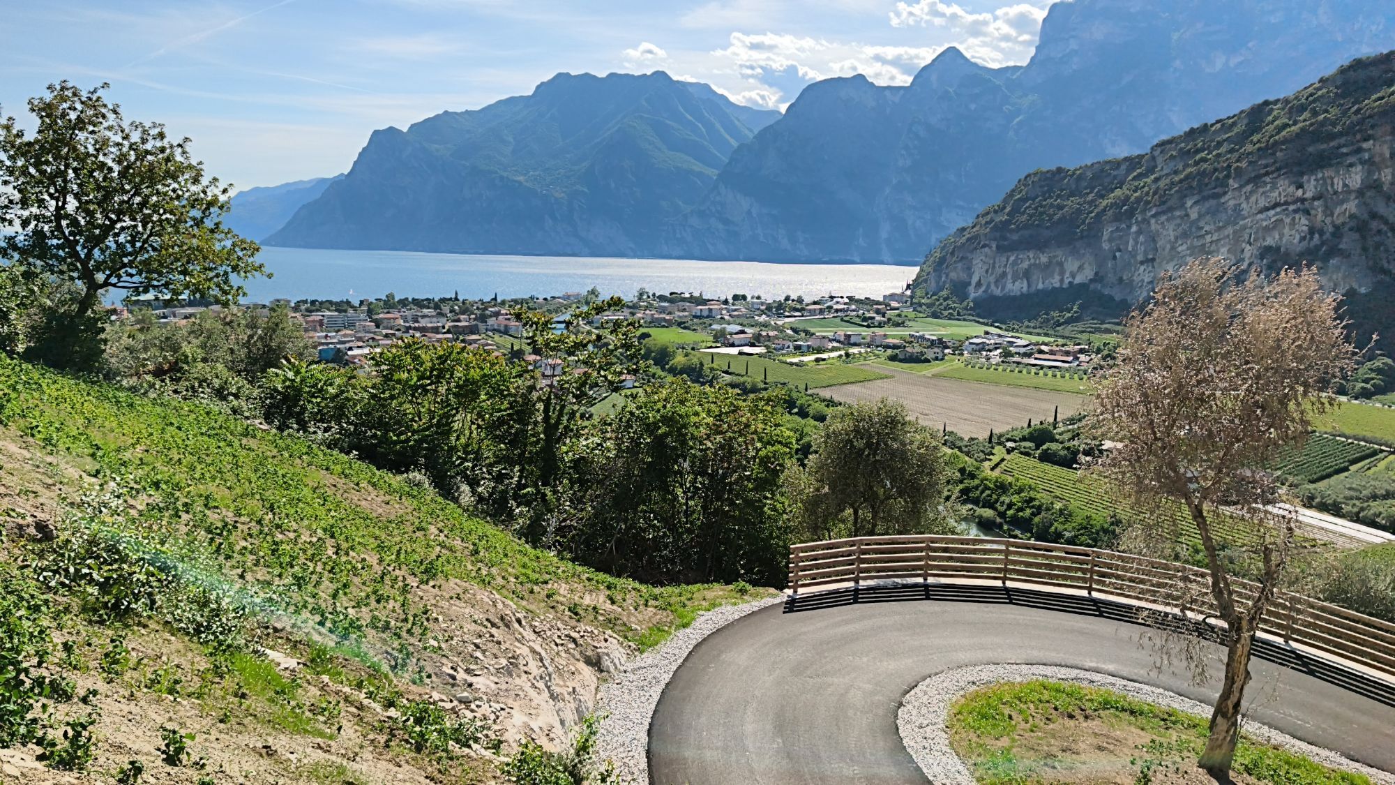
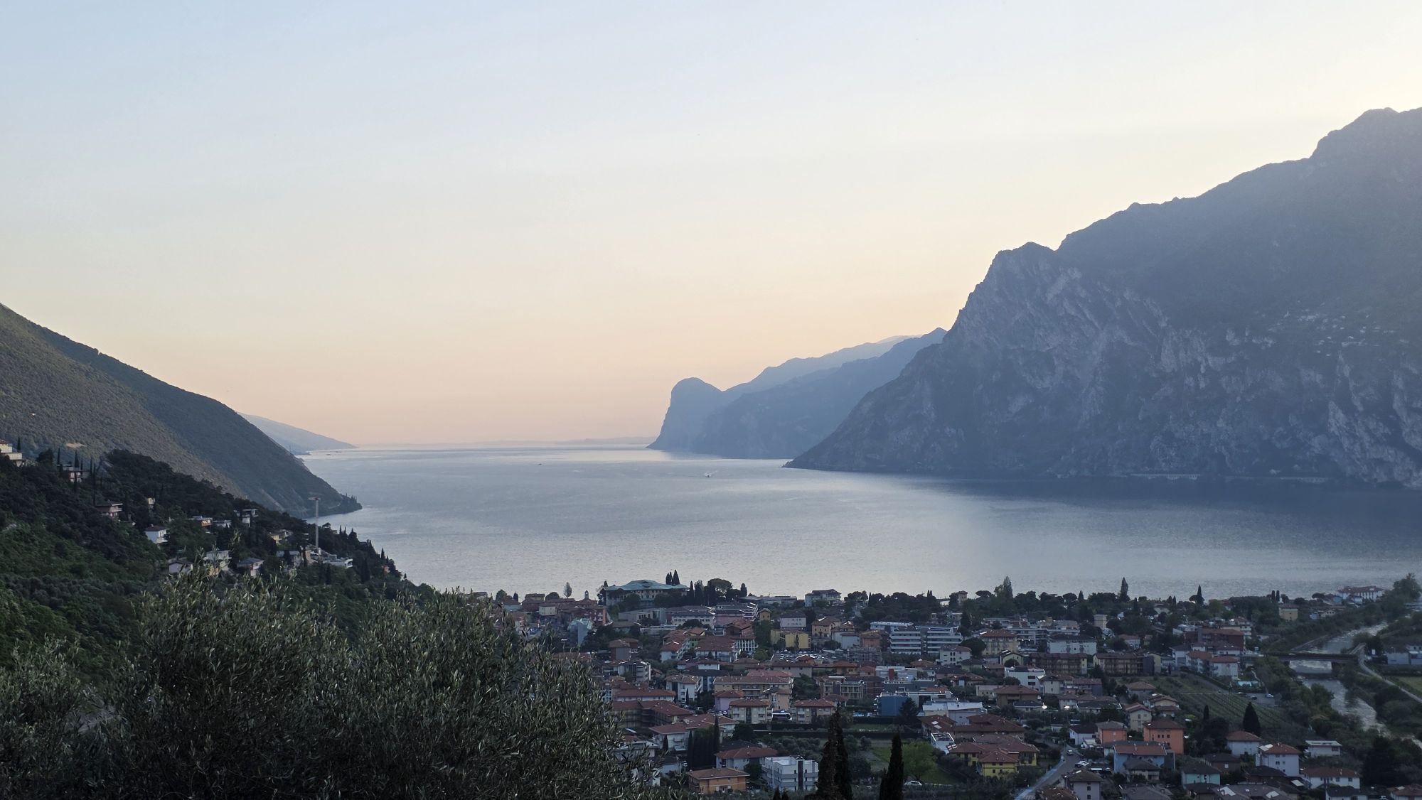
Would you like to relive the feelings of the great German poet Goethe when he first looked out over Lake Garda? This trek follows in his footsteps on the historic Strada di Santa Lucia trail with the addition...
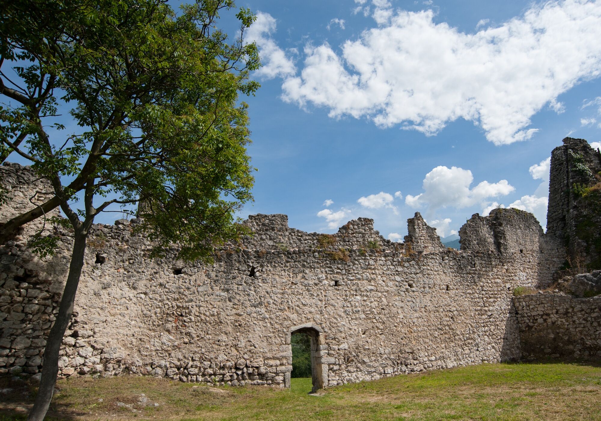
Would you like to relive the feelings of the great German poet Goethe when he first looked out over Lake Garda? This trek follows in his footsteps on the historic Strada di Santa Lucia trail with the addition of an interesting stop-off to visit the ruins of Castel Penede.
Can you imagine massive Venetian galleys being hauled over the mountains? Well, in 1439, this is precisely what happened. Brescia, an ally of Venice, was under threat from the Milanese troops and intervention was needed in their defence. The Venetians sailed up the River Adige with 25 boats and 6 galleys which were dismantled and transported with the help of 2000 oxen to the port of Torbole, passing through the Santa Lucia valley. In 1440 the little fleet defeated the Milanese and liberated Riva del Garda.

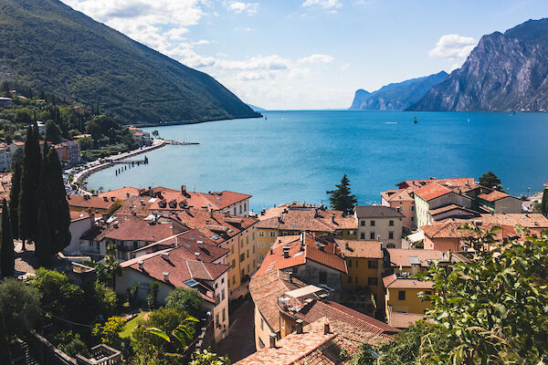
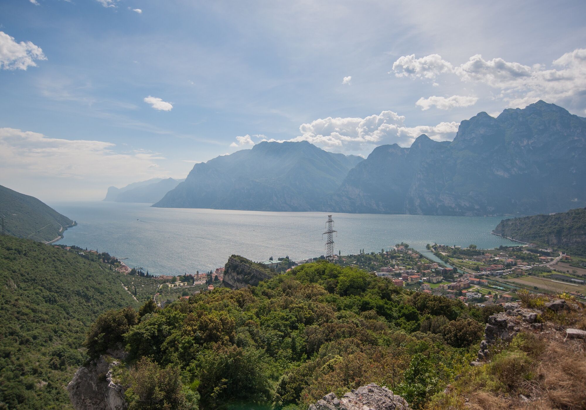
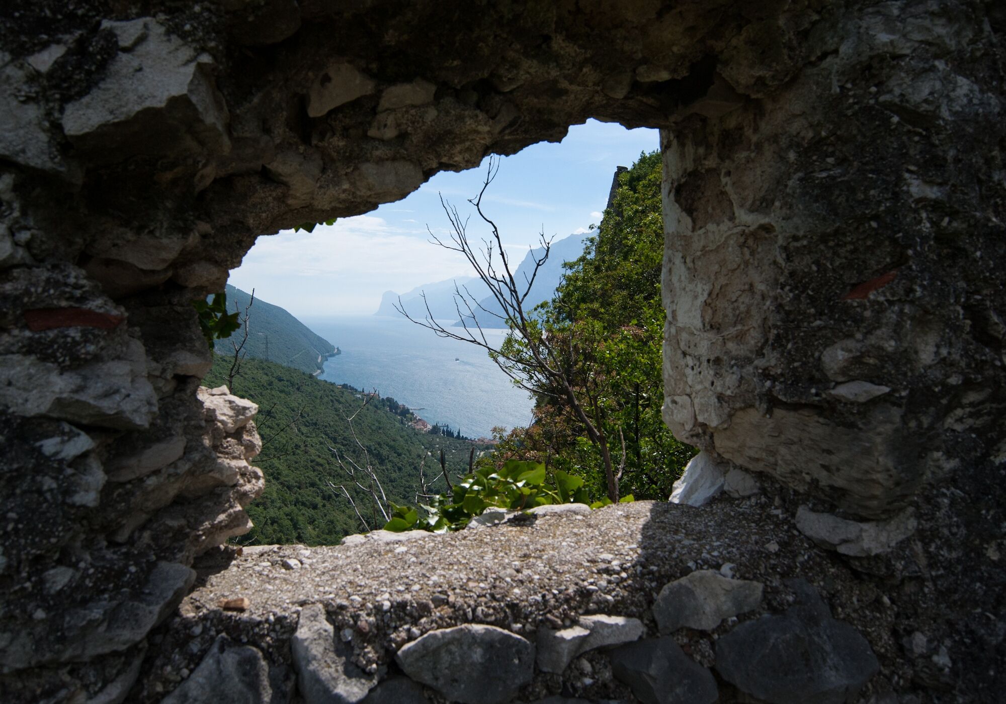
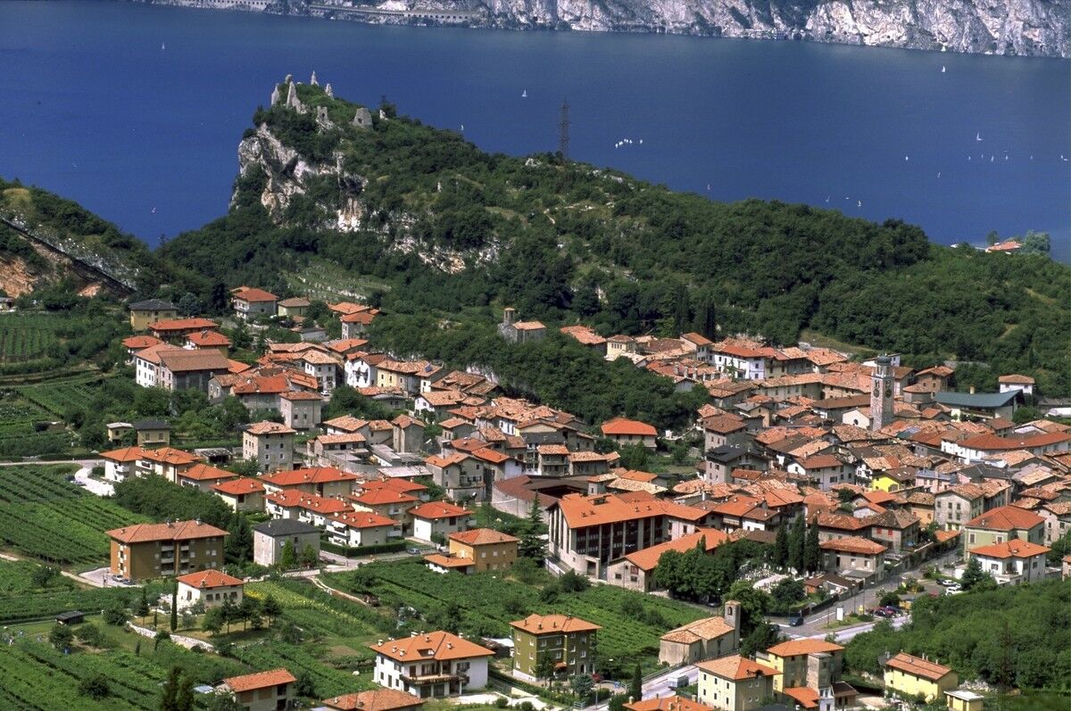

From the centre of Torbole take Via Pontalti and then, on the left, Via Europa to Nago.
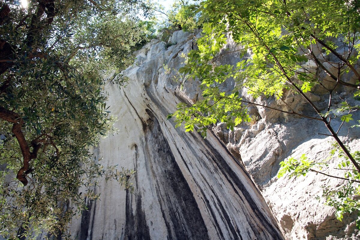
There follow directions for the ruins of Castel Penede. Returning towards the town, head down to the right among the olive trees along Strada Santa Lucia which leads to Torbole.
Tak
Tak
This excursion is quite simple and presents no particular difficulty. However, we still recommend you to wear suitable footwear, a hat, sun screen and sunglasses. And be sure to bring water!
The telephone number for the emergency services is 112.
The information on this chart is subject to inevitable variations, so this means that none of the indications are absolute. It is not entirely possible to avoid giving inexact or imprecise information, given how quickly environmental and weather conditions can change. For this reason we decline any responsibility for changes which the user may encounter. In any case, the hiker is advised to check the conditions of the places, environment and weather before setting out.
A22 motorway, exit: Rovereto Sud - Lago di Garda (Lake Garda). Then SS240 to Torbole.
Find out how to reach Garda Trentino.
The main towns in Garda Trentino - Riva del Garda, Arco, Torbole sul Garda, Nago – are connected by several urban and intercity bus lines which will take you to the starting point of tours or in the immediate surroundings.
You can also get to Riva del Garda and Torbole sul Garda by the public ferry service.
Paid parking: Panorama (Via delle Brae), Goethe (Via Strada Granda), ex Villa Cian (Via Sarca Vecchio), Busatte (Via delle Busatte)Paid parking: Panorama, Via Strada Granda, Lungolago Conca d'Oro.
The old road of Santa Lucia, a trail of Roman origin decending at the foot of the cliff of Castel Penede, was for centuries the only road between Nago and Torbole.
Uzyskaj wgląd
Zawsze na żywo z ponad 9 500 kamer internetowych. bergfex Jako użytkownik Pro, możesz teraz zobaczyć odpowiednie kamery internetowe dla wielu wycieczek w aplikacji wycieczki od. Pozwala to na bezpośredni podgląd aktualnych warunków.
Popularne wycieczki w okolicy
-
5,0
Bastione and Santa Barbara, the lords of Riva del Garda
średniWędrówka 2,94 km -
5,0
Via Ferrata Signora delle Acque - Rio Ruzza
ciężkiVia ferrata 5,32 km -
4,8
Sentiero Busatte Tempesta
światłoWędrówka 7,90 km -
4,8
Bocca Fortini - Tour
ciężkiMountainbike 35,4 km -
4,7
Via Ferrata Fausto Susatti - Cima Capi (from Ledro)
średniVia ferrata 7,11 km -
4,7
Via Ferrata Rio Sallagoni
średniVia ferrata 2,75 km -
4,6
Via Ferrata delle Laste e Gallerie di Cima Rocca
światłoVia ferrata 6,38 km -
4,5
Walking around Lake Ledro
światłoWędrówka 9,40 km -
4,9
Via Ferrata dell’Amicizia - Cima SAT
średniVia ferrata 4,41 km -
4,4
Tremalzo Big - Tour
ciężkiMountainbike 45,6 km

Wędrówki i tropienie


Nie przegap ofert i inspiracji na następne wakacje
Twój adres e-mail została dodana do listy mailingowej.





