







View from Tremalzo
Poziom trudności: T2
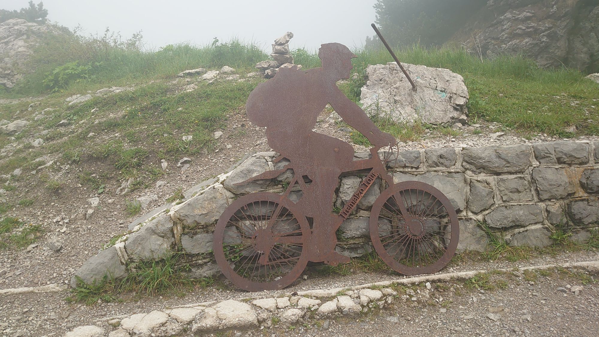
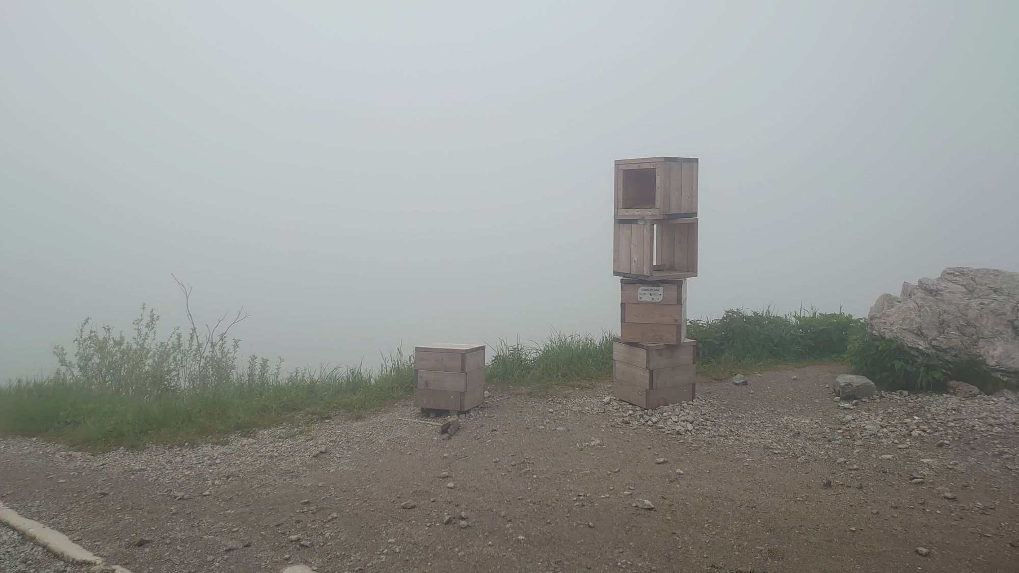
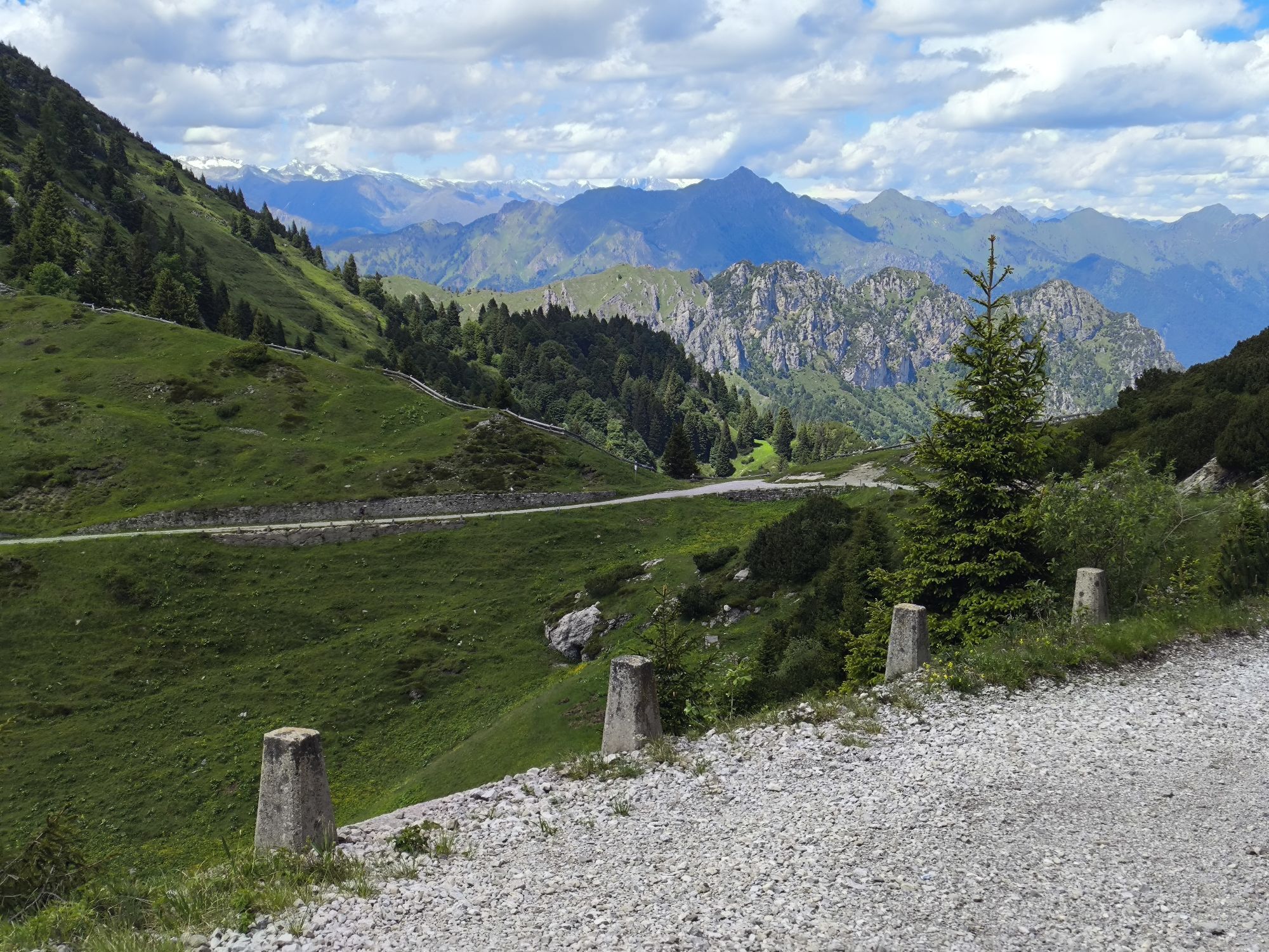
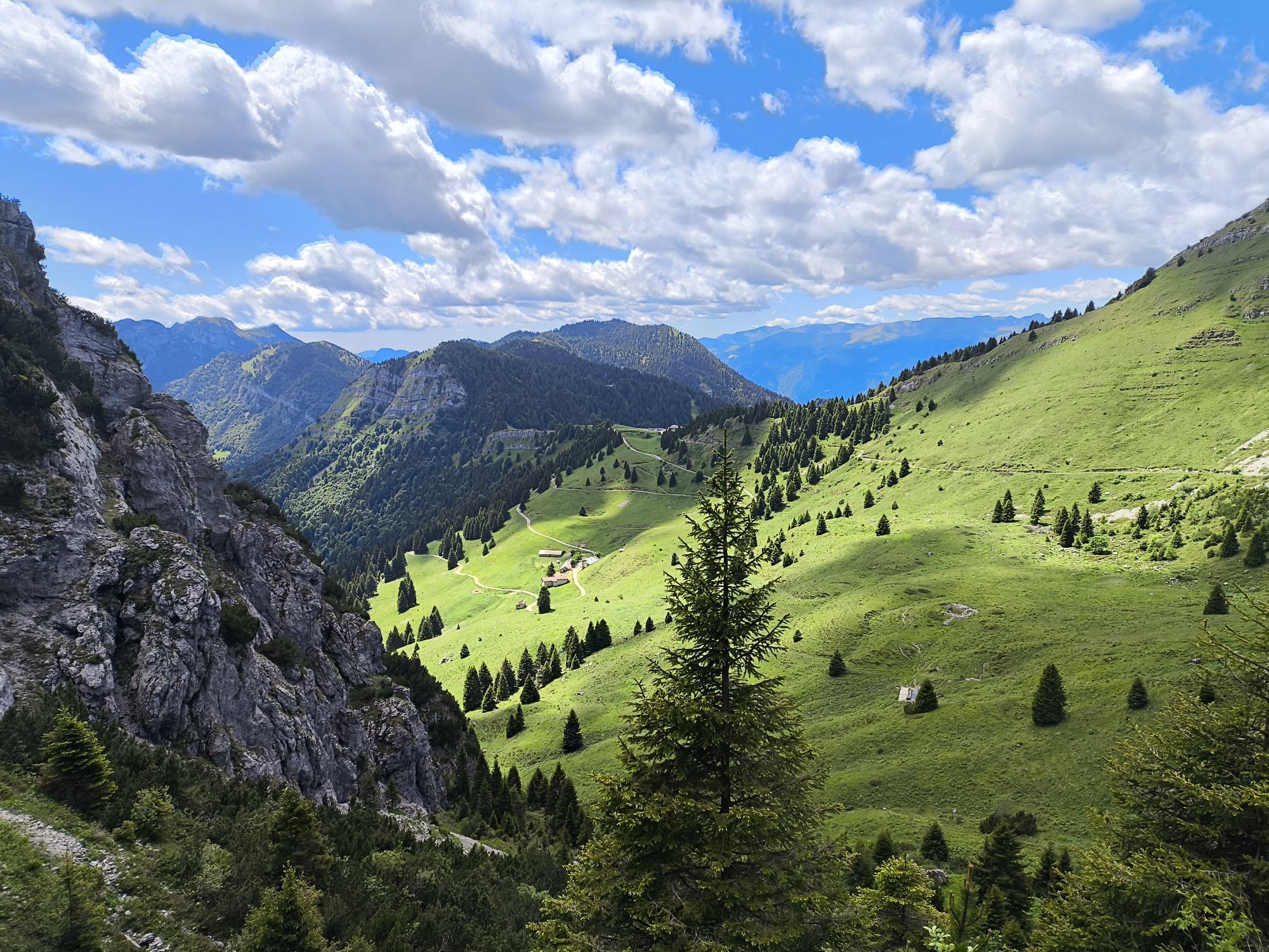
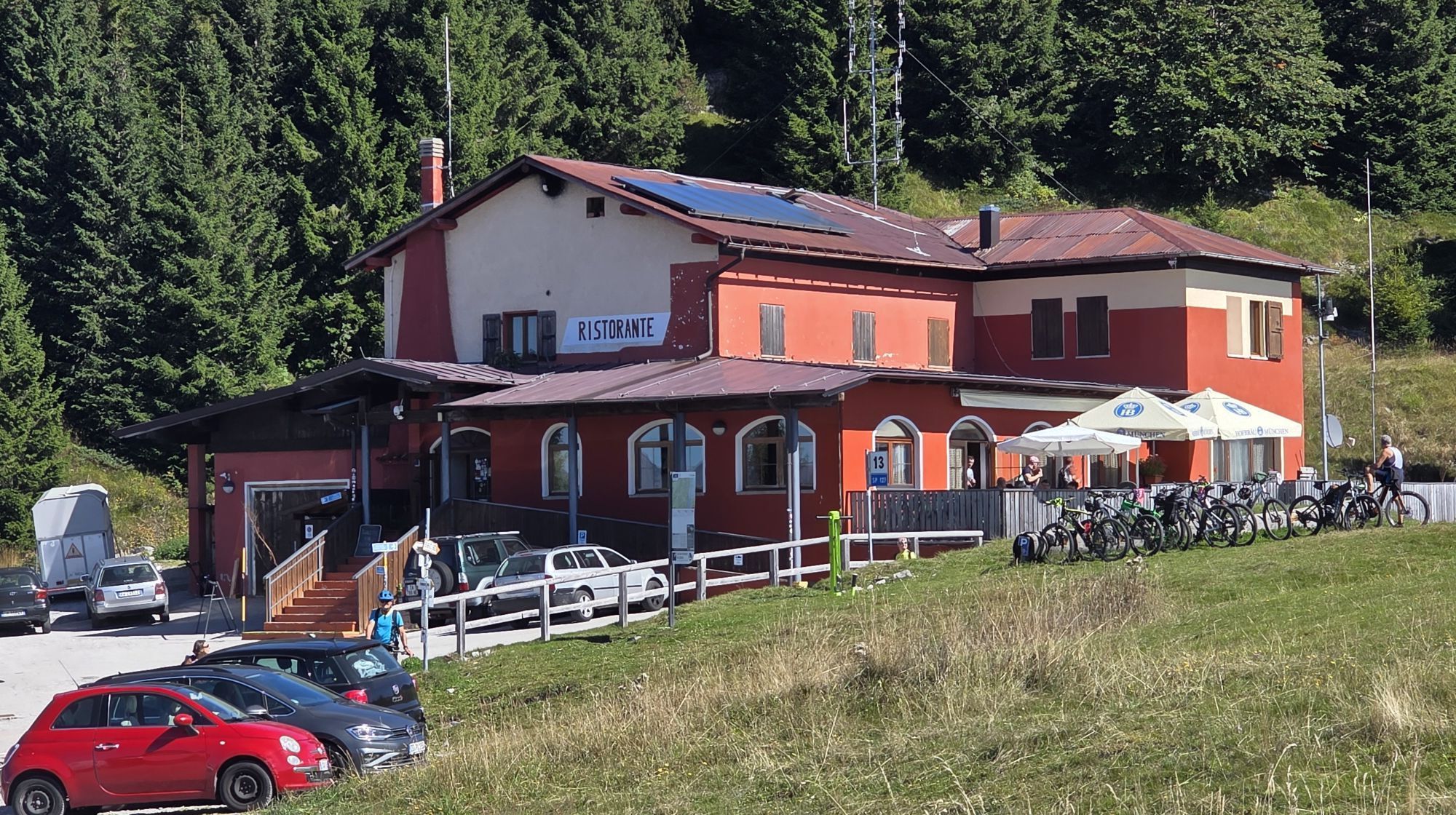
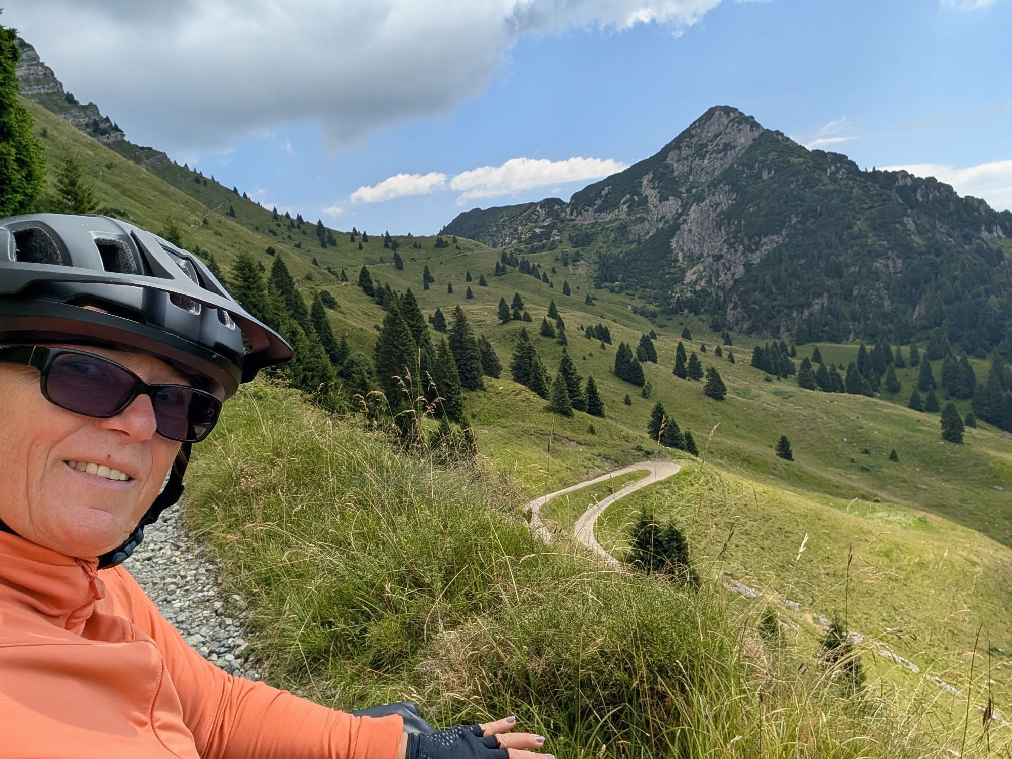
The Tremalzo area is known for is biodiversity. There are 21 endemisms, flowers and plants which do not grow anywhere else. Among them the Silene Elisabethae and the Daphne Petraea.

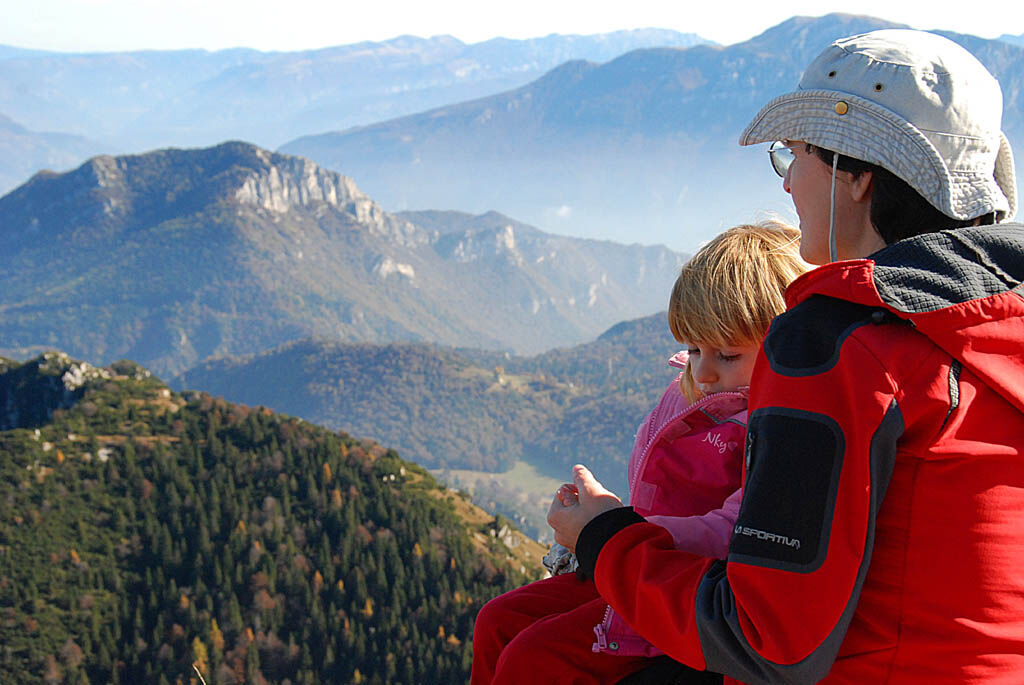
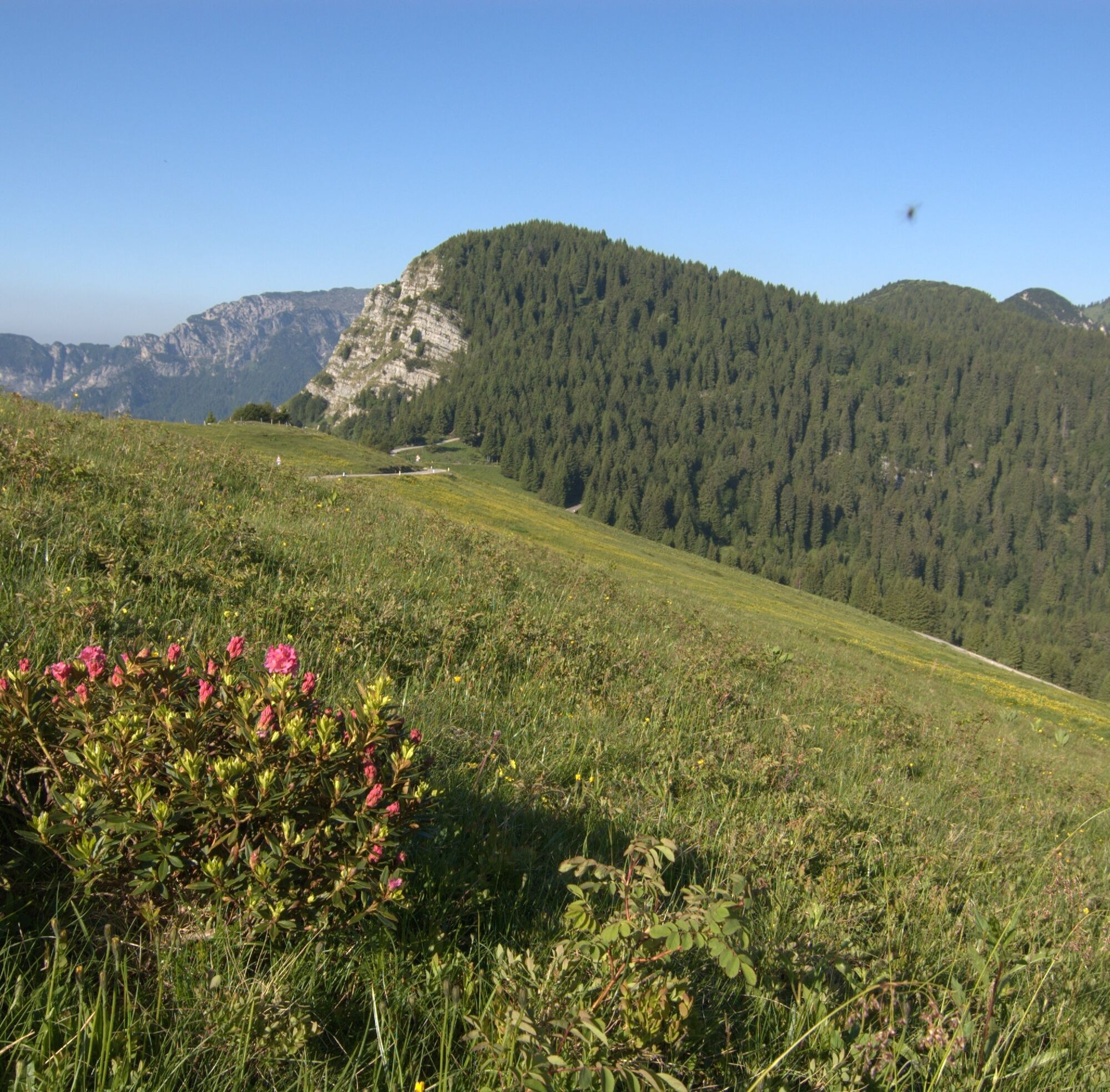
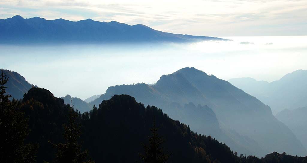
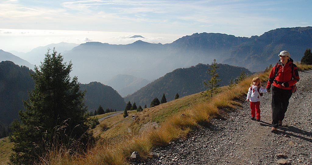
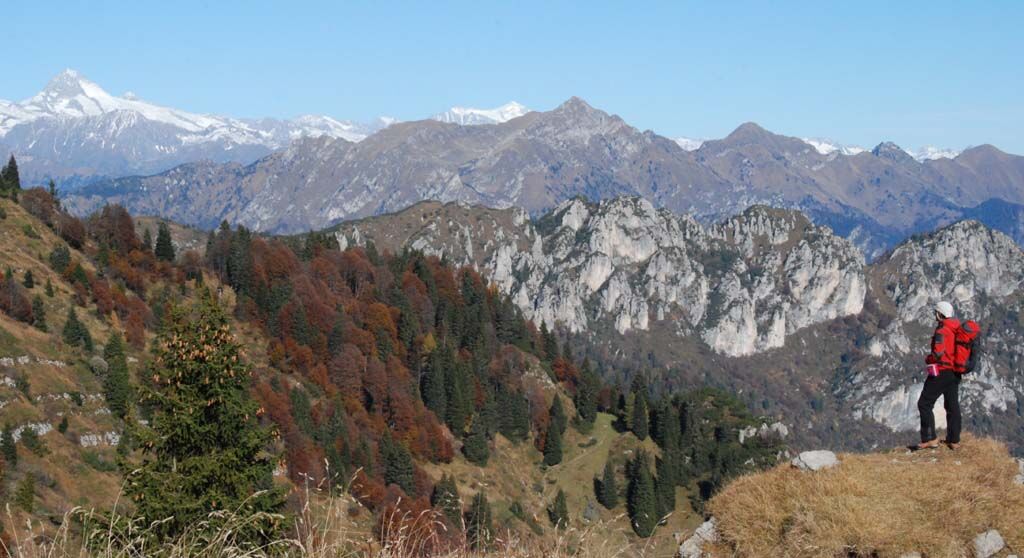
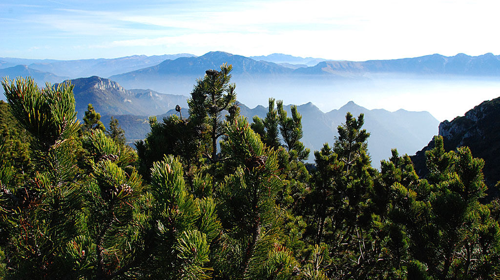

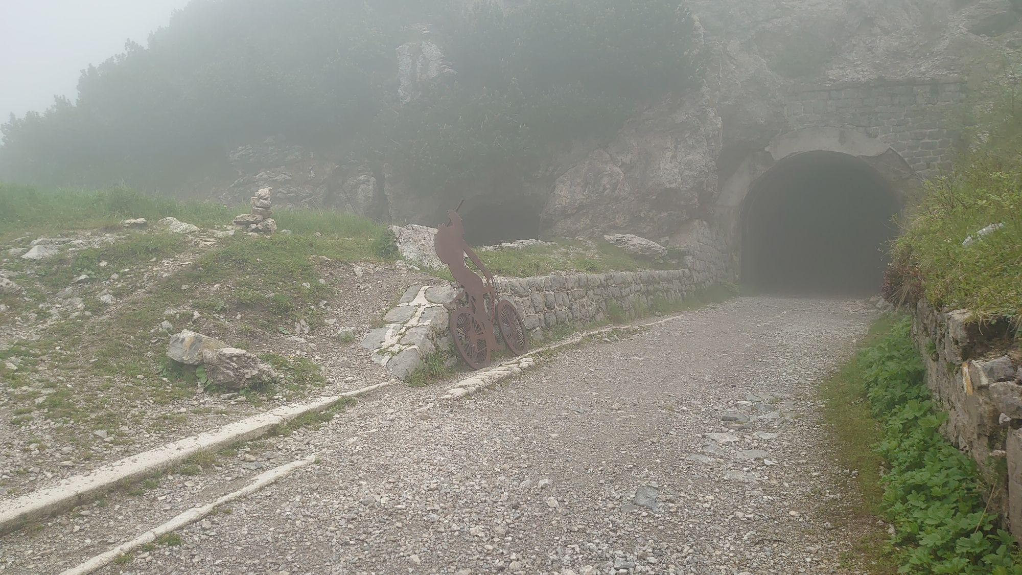
From Passo Tremalzo continue along the dirt road and reach a tunnel. Walk through the tunnel and take the path to the right towards the Corno della Marogna and then turn right again when you come to a fork. Walk uphill along a small ridge to reach the viewpoint over the Adamello and Lake Ledro. Return along the same route.
Tak
Tak
This excursion is quite simple and presents no particular difficulty. However, we still recommend you to wear suitable footwear, a hat, sun screen and sunglasses. And be sure to bring water!
The telephone number for the emergency services is 112.
The information on this chart is subject to inevitable variations, so this means that none of the indications are absolute. It is not entirely possible to avoid giving inexact or imprecise information, given how quickly environmental and weather conditions can change. For this reason we decline any responsibility for changes which the user may encounter. In any case, the hiker is advised to check the conditions of the places, environment and weather before setting out.
Exit the A22 motorway at Rovereto Sud – Lago di Garda. Follow the SS240 della Val di Ledro to the bus stop in Ampola. Then turn into the SP127 towards Tremalzo.
Find out how to reach Garda Trentino.
Valle di Ledro is connected to Riva del Garda by the intercity bus line 214 (Riva-Valle di Ledro-Storo). The nearest bus stop to the route is "Tremalzo Bivio".
Up-to-date information on timetables and routes.
Private shuttle service to Tremalzo. Click here for more information.
Car park near Albergo Garda.
T2
Up to the tunnel the road can be walked with strollers as well. The visitor centre offers the chance to learn more about the history, economy and flora of Tremalzo.
Uzyskaj wgląd
Zawsze na żywo z ponad 9 500 kamer internetowych. bergfex Jako użytkownik Pro, możesz teraz zobaczyć odpowiednie kamery internetowe dla wielu wycieczek w aplikacji wycieczki od. Pozwala to na bezpośredni podgląd aktualnych warunków.

Popularne wycieczki w okolicy
-
5,0
Bastione and Santa Barbara, the lords of Riva del Garda
średniWędrówka 2,94 km -
4,8
Bocca Fortini - Tour
ciężkiMountainbike 35,4 km -
4,8
Sentiero Busatte Tempesta
światłoWędrówka 7,90 km -
4,8
Via Ferrata Fausto Susatti - Cima Capi (from Ledro)
średniVia ferrata 7,11 km -
4,6
Via Ferrata delle Laste e Gallerie di Cima Rocca
światłoVia ferrata 6,38 km -
4,5
Walking around Lake Ledro
światłoWędrówka 9,40 km -
4,9
Via Ferrata dell’Amicizia - Cima SAT
średniVia ferrata 4,41 km -
4,4
Tremalzo Big - Tour
ciężkiMountainbike 45,6 km -
4,8
Ponale Path (from Ledro)
średniWędrówka 10,8 km -
4,9
Riva del Garda nach Ledrosee und zurück
średniE-MTB 37,6 km
Wędrówki i tropienie


Nie przegap ofert i inspiracji na następne wakacje
Twój adres e-mail została dodana do listy mailingowej.





