






Trail running to Mount Misone
Zdjęcia naszych użytkowników
-
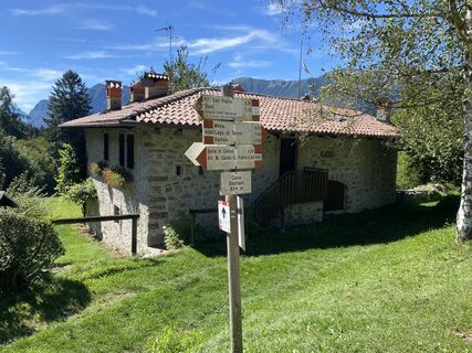
 © Sergio RasoreUtworzono dnia 04.09.2025
 -
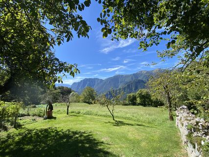 © Sergio RasoreUtworzono dnia 04.09.2025
 -
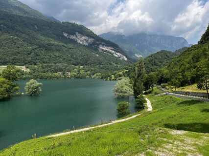
 © Stefano “Iddo”Utworzono dnia 06.06.2024
 -
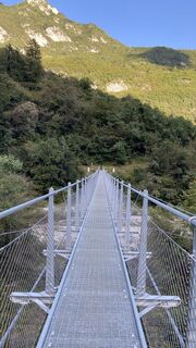
 © Ma WaUtworzono dnia 19.09.2023
 -
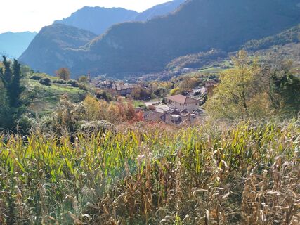
 © AranyossymihalyUtworzono dnia 07.11.2025
 -
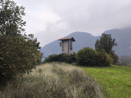
 © NozzoUtworzono dnia 19.10.2025
 -
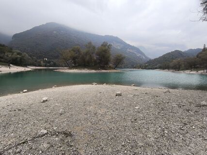 © NozzoUtworzono dnia 19.10.2025
 -
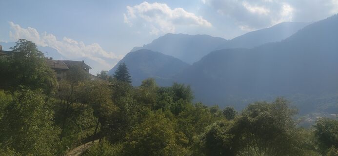 © Jerzy borysUtworzono dnia 21.09.2025
 -
 © Jerzy borysUtworzono dnia 21.09.2025
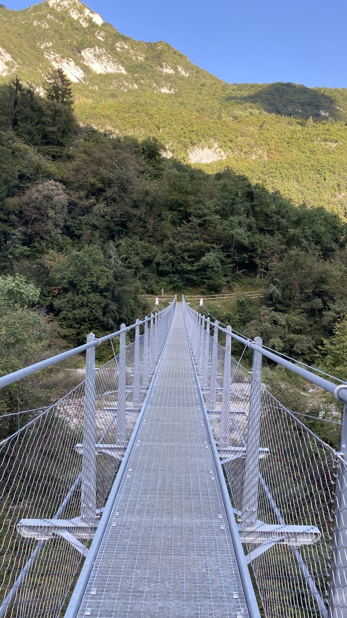
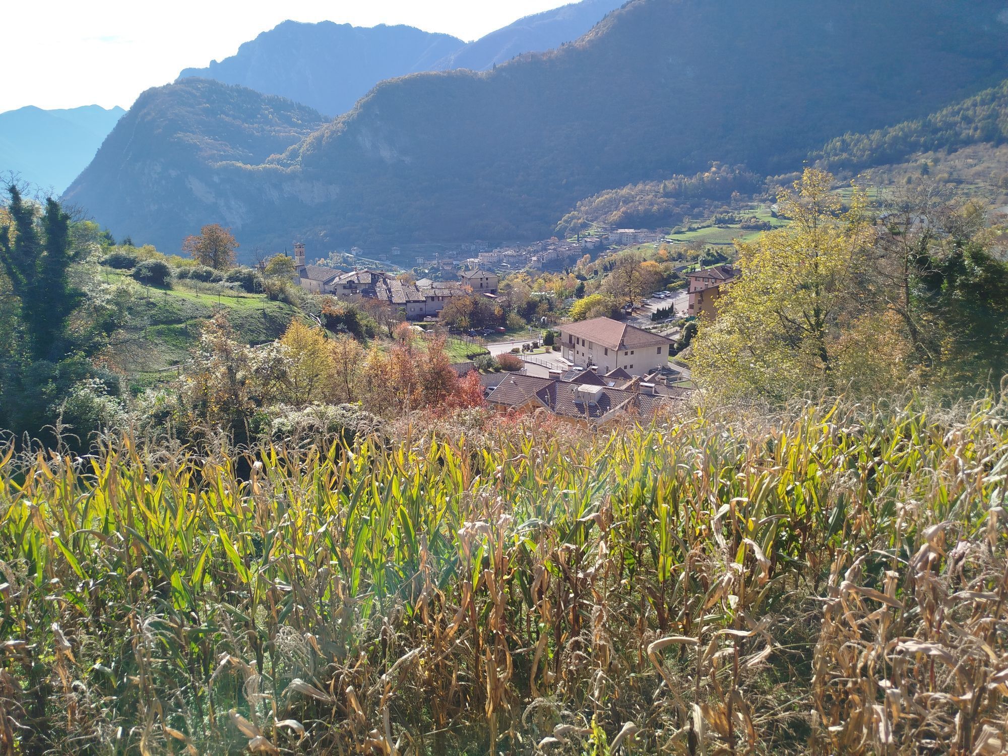
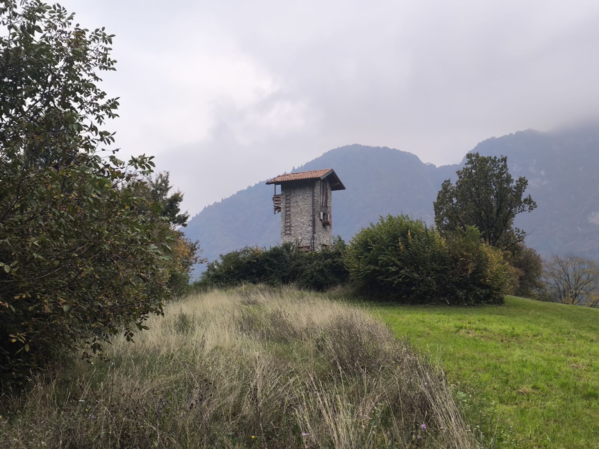
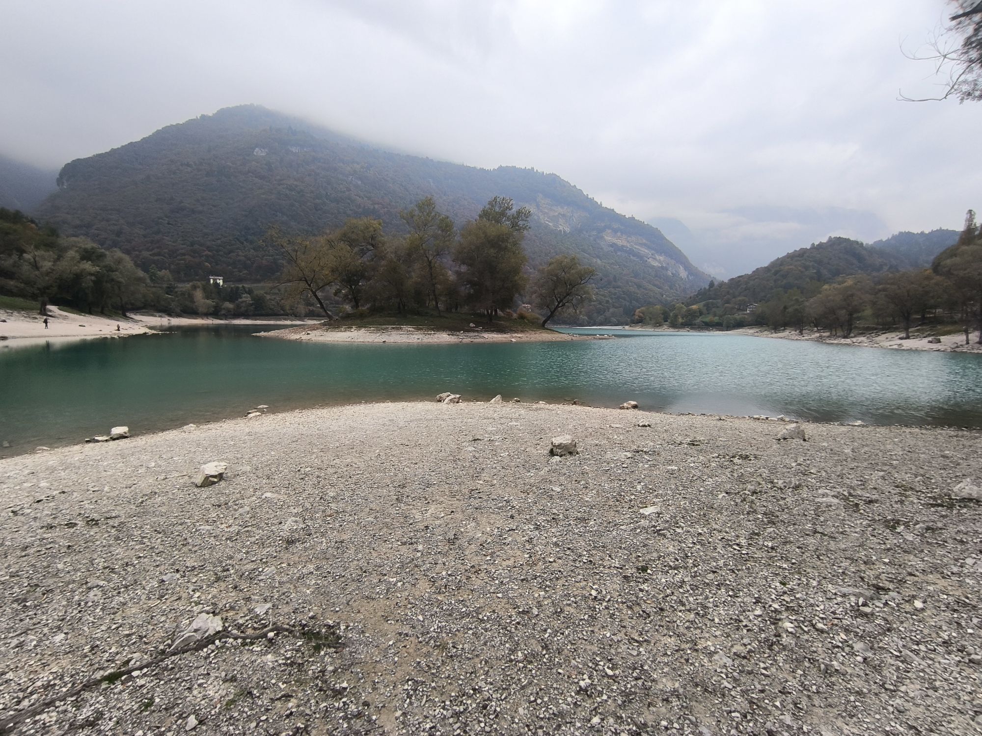
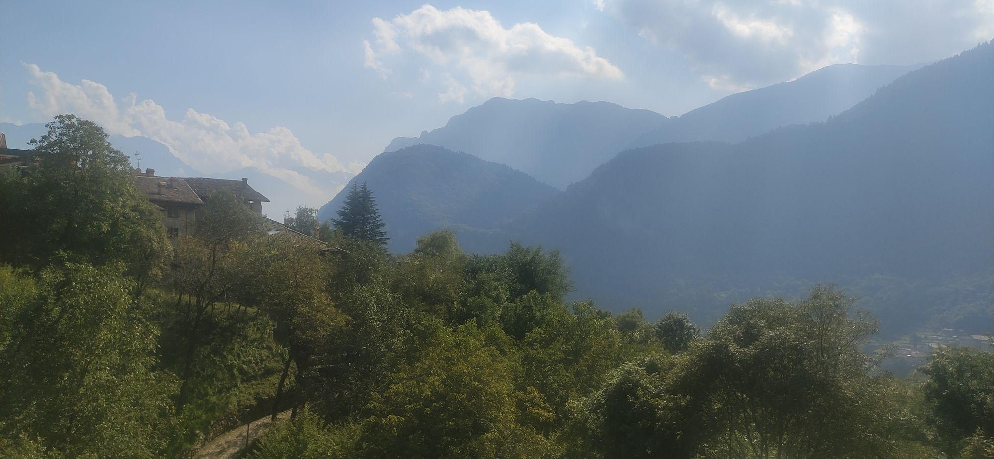
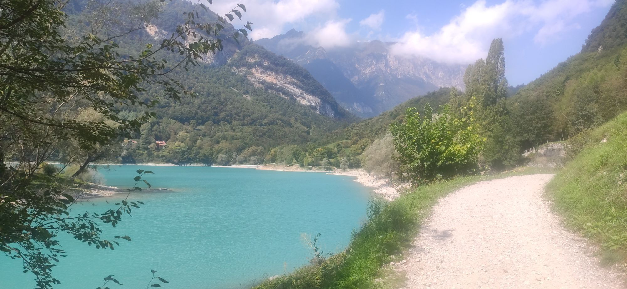
A ring-route leading from Ville del Monte to the summit of Mount Misone in an ascent that is demanding but rich in views, first of Lake Tenno and then, from the summit of Mount Misone, of the whole of...
A ring-route leading from Ville del Monte to the summit of Mount Misone in an ascent that is demanding but rich in views, first of Lake Tenno and then, from the summit of Mount Misone, of the whole of Garda Trentino and, towards the north, of the peaks of the Brenta.
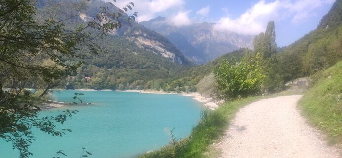
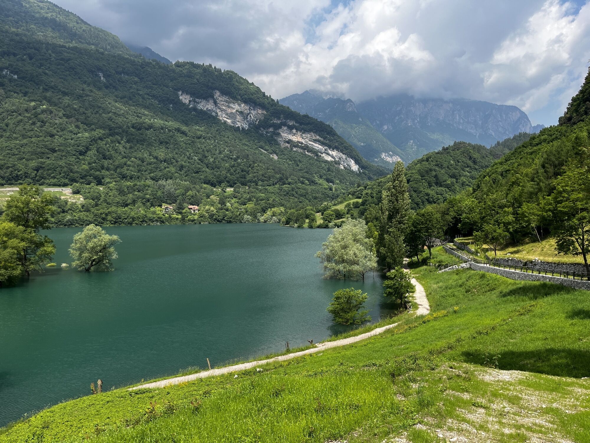
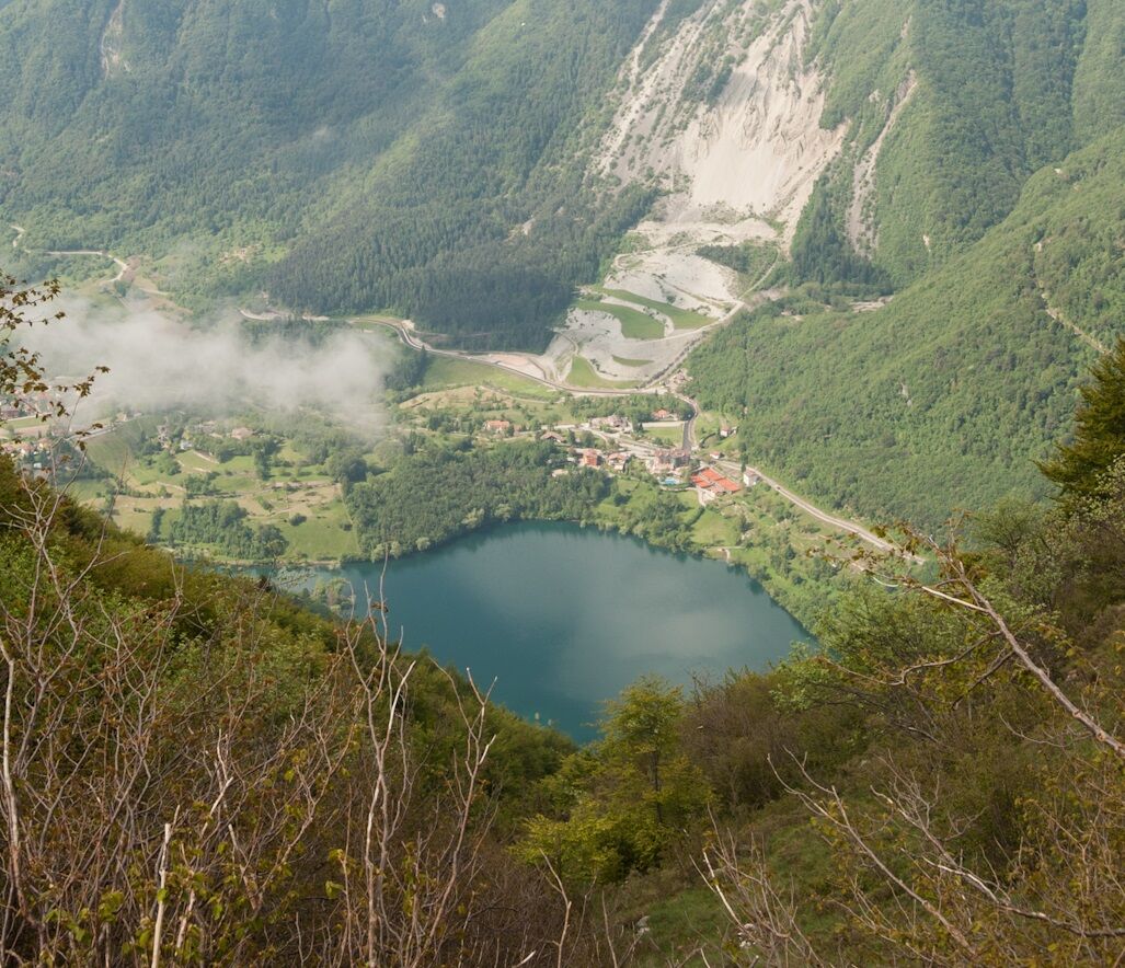
There are no water points along the steep ascent to Mount Misone, so stock up in Canale and Ville del Monte, where there are fountains. The first steep ascent after Casa Bastiani leads to Sella di Castiol, after which the path continues flatter along the mountainside, with a spectacular view of Lake Tenno below, its colours always surprising and different depending on the season and the day.
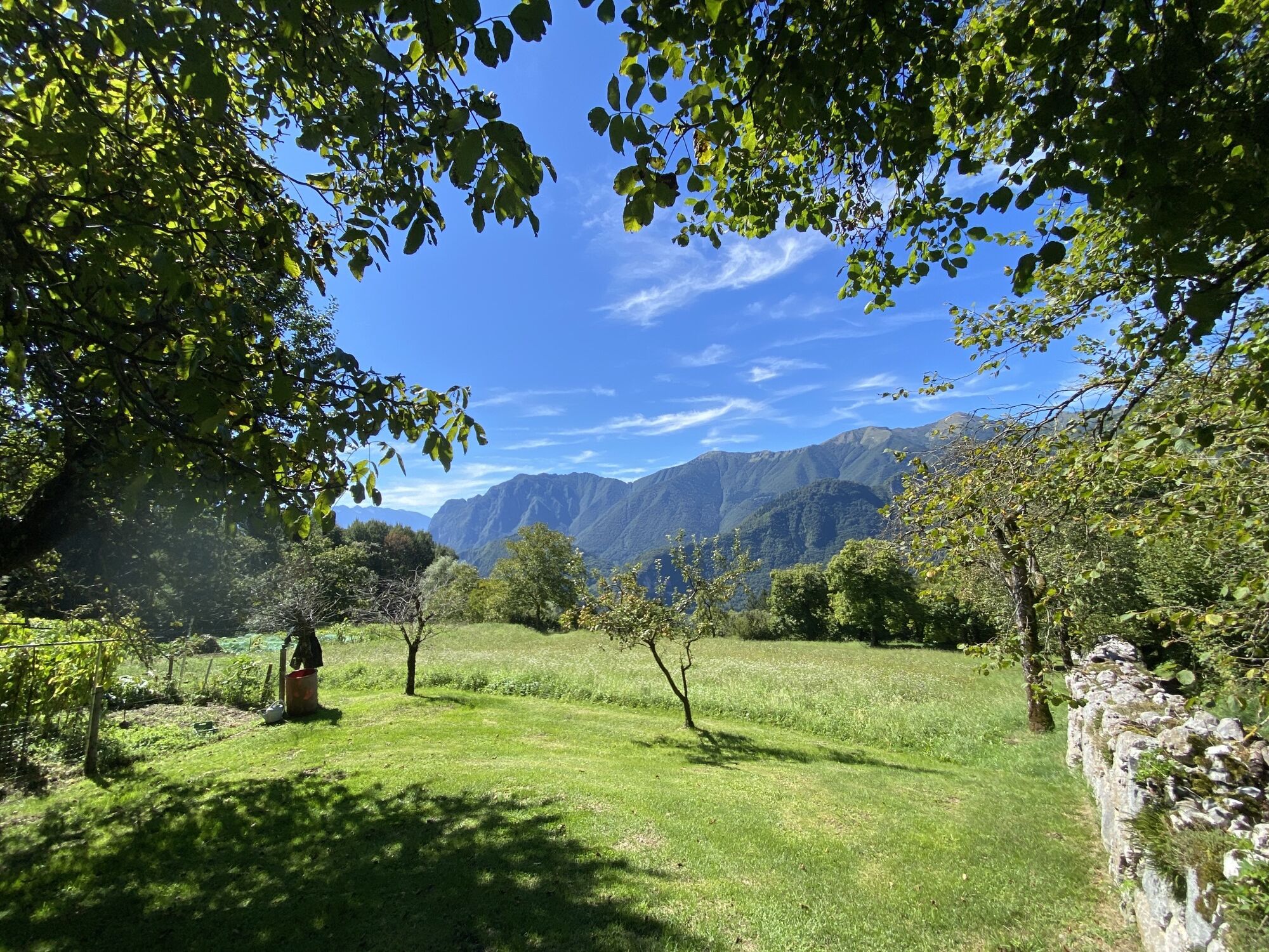
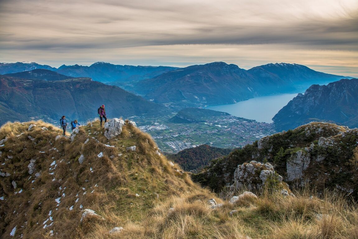
The last effort to reach the summit offers an unforgettable view of Lake Garda to the south and of the surrounding panorama (Monte Stivo to the east, the Baldo range to the south-east, the crests of the Ledrensi Pre-Alps to the west, the Brenta to the north).
The path trail you then take at Ballino/Castil, all through the woods, reaches beyond Lake Tenno, from where you continue towards Ville del Monte, skirting the lakefront and admiring its colours once again.

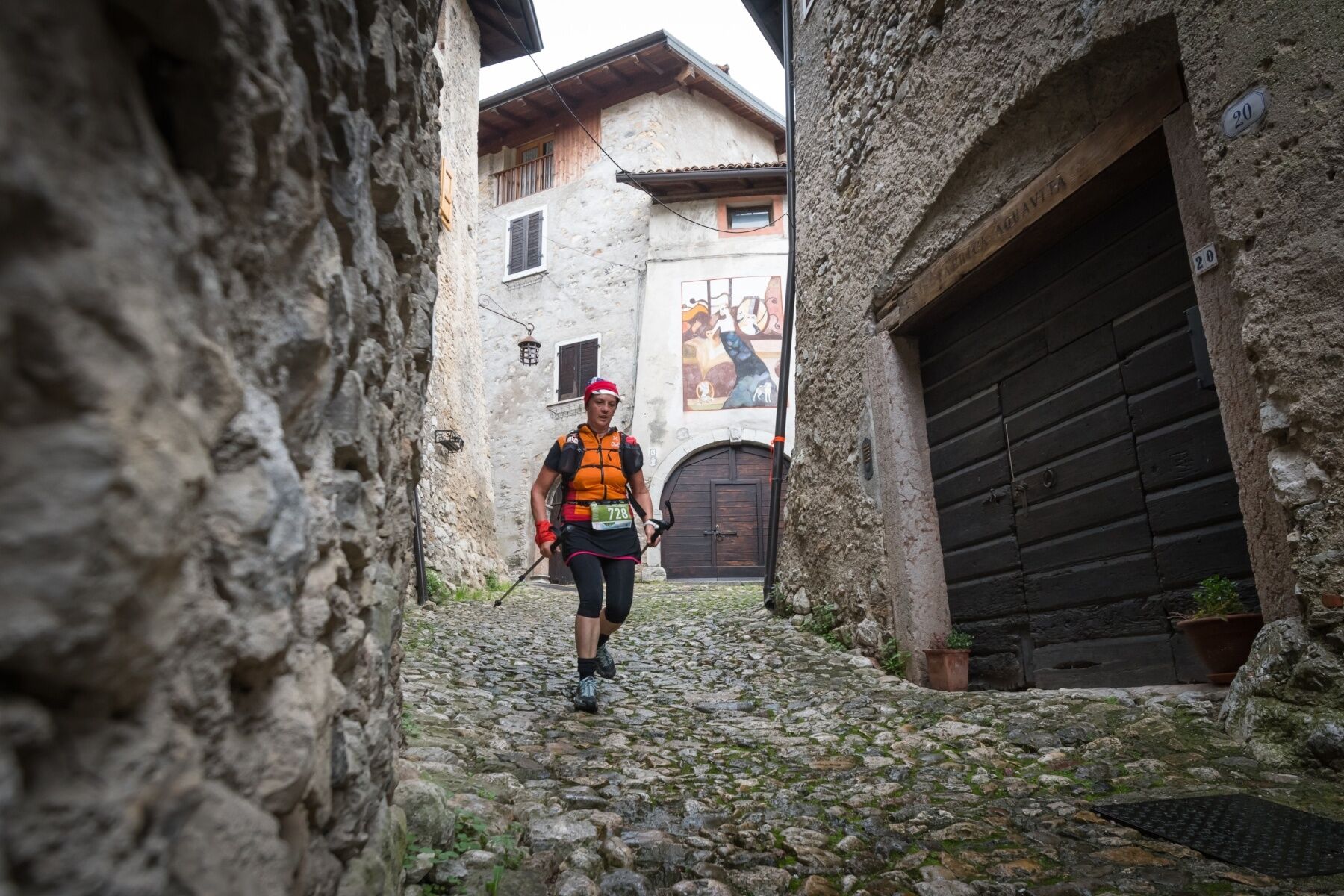

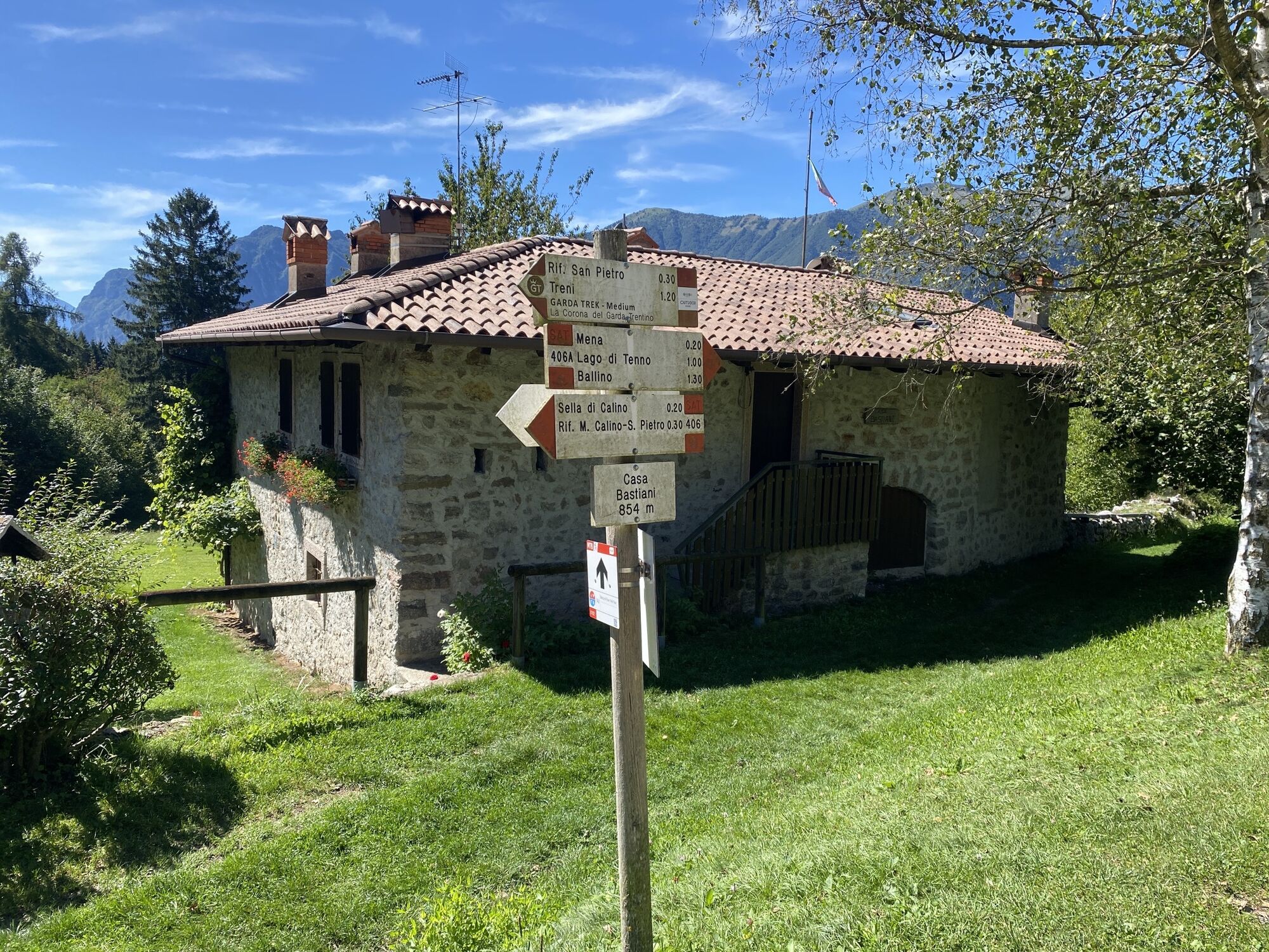
From the car park at Ville del Monte, head towards Canale; continue up the trail leading to Casa Bastiani (SAT 406 trail ), which then leads (SAT 410 trail) to the fork where the steep ascent to Mount Misone begins (SAT 412 trail).
After a very steep initial section, at the Sella di Castiol saddle take the SAT 412 trail to Malga Misone and then climb to the right on the final ascent to the summit of Mount Misone. To return, go back along the same route, following the signs for Malga Misone. From here, continue along SAT 433 trail and then, at the fork, descend to the left along trail 432, which leads to Passo Ballino.
Skirting the state road (be careful), you reach the village of Ballino. At the church, go up towards the Castil area, from where an easy forestry road leads to Lake Tenno and finally to Ville del Monte.
Tak
The information on this chart is subject to inevitable variations, so this means that none of the indications are absolute. It is not entirely possible to avoid giving inexact or imprecise information, given how quickly environmental and weather conditions can change. For this reason, we decline any responsibility for changes which the user may encounter. In any case, the hiker is advised to check the conditions of the places, environment and weather before setting out.
Getting to northern lake Garda / Garda Trentino: www.gardatrentino.it
Pay parking at Lake Tenno
For more information on routes and hike services: guides, shops and hiking friendly accommodation: APT Garda Trentino, Tel. +39 0464 554444 www.gardatrentino.it
In summer, stop at Malga Misone to say hello to its keeper and taste his goat cheeses; on the way back, enjoy a break in Canale to visit the village and have a meal.

 Uzyskaj wgląd
Zawsze na żywo z ponad 9 500 kamer internetowych. bergfex Jako użytkownik Pro, możesz teraz zobaczyć odpowiednie kamery internetowe dla wielu wycieczek w aplikacji wycieczki od. Pozwala to na bezpośredni podgląd aktualnych warunków.
Uzyskaj wgląd
Zawsze na żywo z ponad 9 500 kamer internetowych. bergfex Jako użytkownik Pro, możesz teraz zobaczyć odpowiednie kamery internetowe dla wielu wycieczek w aplikacji wycieczki od. Pozwala to na bezpośredni podgląd aktualnych warunków.
Popularne wycieczki w okolicy
-
5,0
Bastione and Santa Barbara, the lords of Riva del Garda
średniWędrówka 2,94 km -
5,0
Via Ferrata Signora delle Acque - Rio Ruzza
ciężkiVia ferrata 5,32 km -
4,8
Via Ferrata Rio Sallagoni
średniVia ferrata 2,75 km -
4,8
Bocca Fortini - Tour
ciężkiMountainbike 35,4 km -
4,8
Via Ferrata Fausto Susatti - Cima Capi (from Ledro)
średniVia ferrata 7,11 km -
4,7
Sentiero Busatte Tempesta
światłoWędrówka 7,90 km -
4,6
Via Ferrata delle Laste e Gallerie di Cima Rocca
światłoVia ferrata 6,38 km -
4,5
Walking around Lake Ledro
światłoWędrówka 9,40 km -
4,9
Via Ferrata dell’Amicizia - Cima SAT
średniVia ferrata 4,41 km -
4,3
Tremalzo Big - Tour
ciężkiMountainbike 45,6 km

Wędrówki i tropienie


Nie przegap ofert i inspiracji na następne wakacje
Twój adres e-mail została dodana do listy mailingowej.





