







Nagià Grom trench camp
A thematic walk that lets us discover a complex and well-preserved trench complex in the vast Austro-Hungarian fortified system that guarded the area between Vallagarina and Upper Garda. In the Nagià Grom...
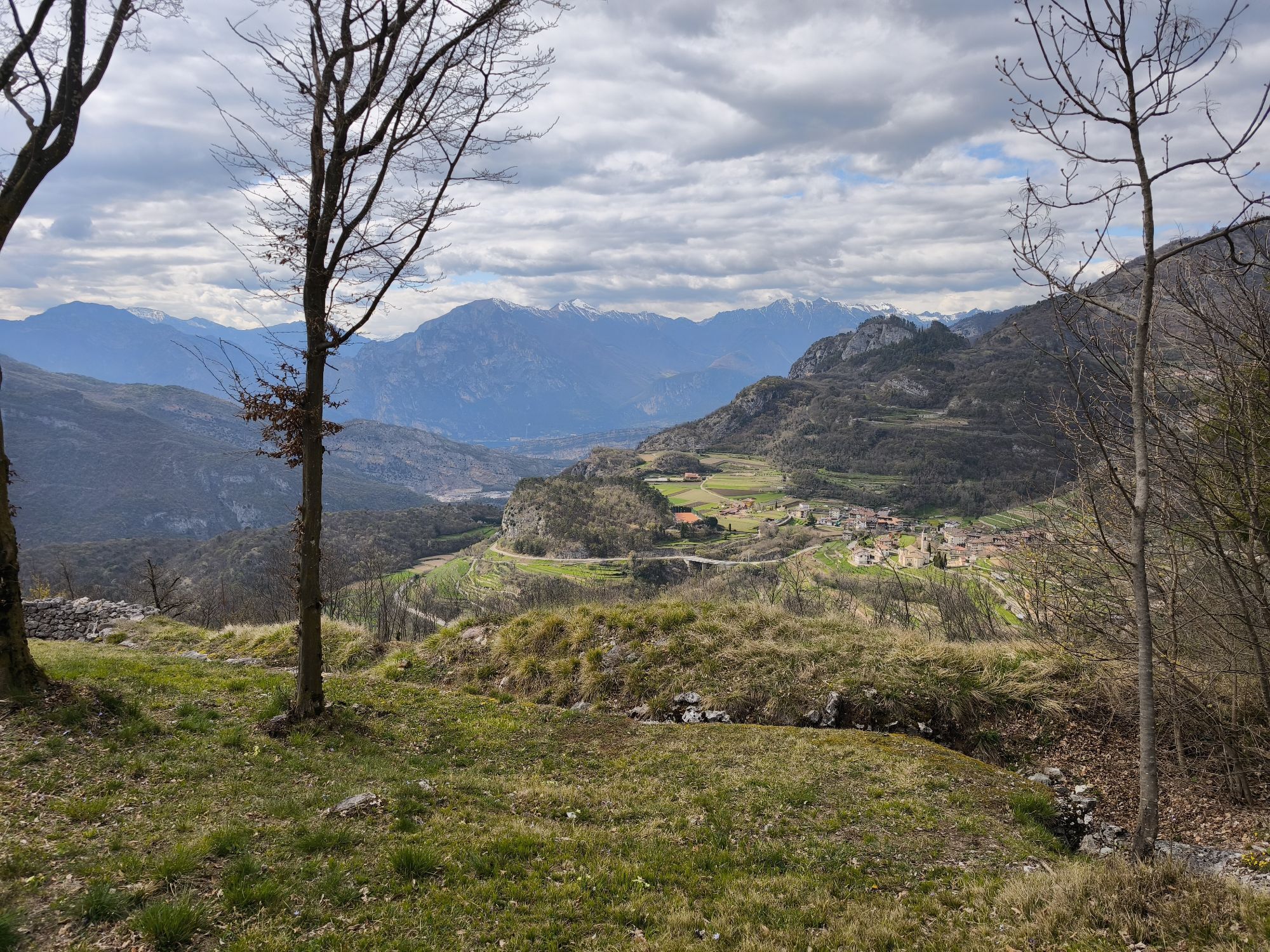
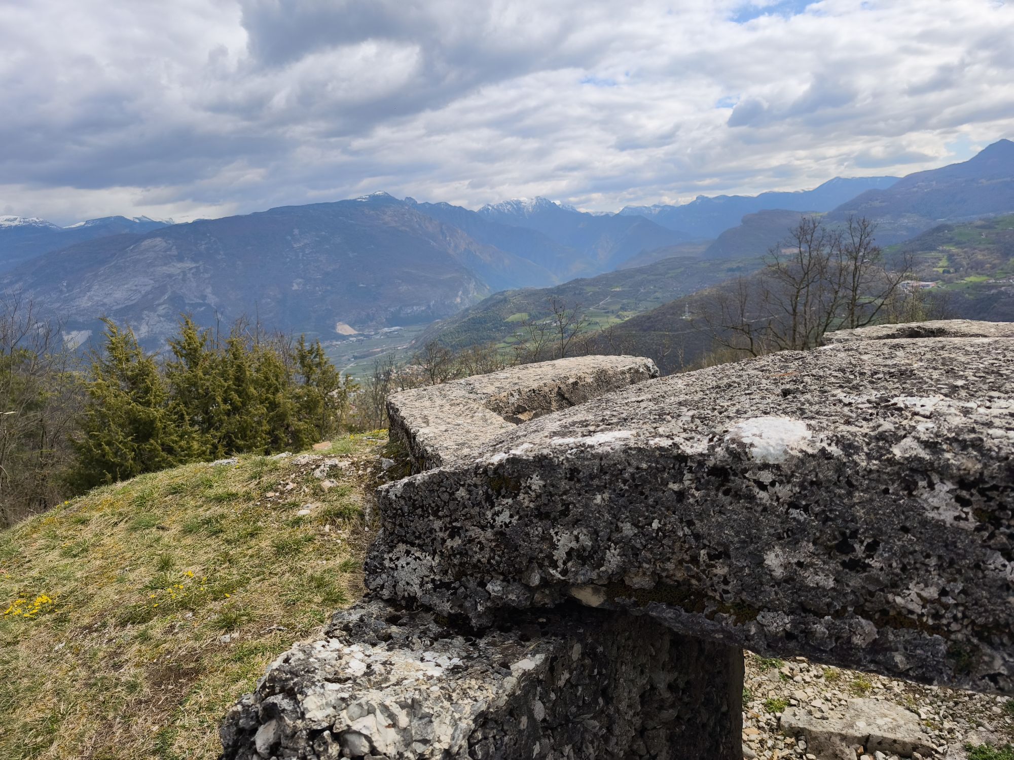
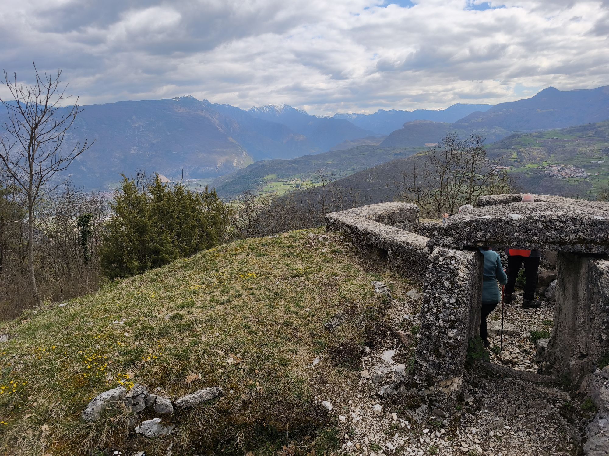
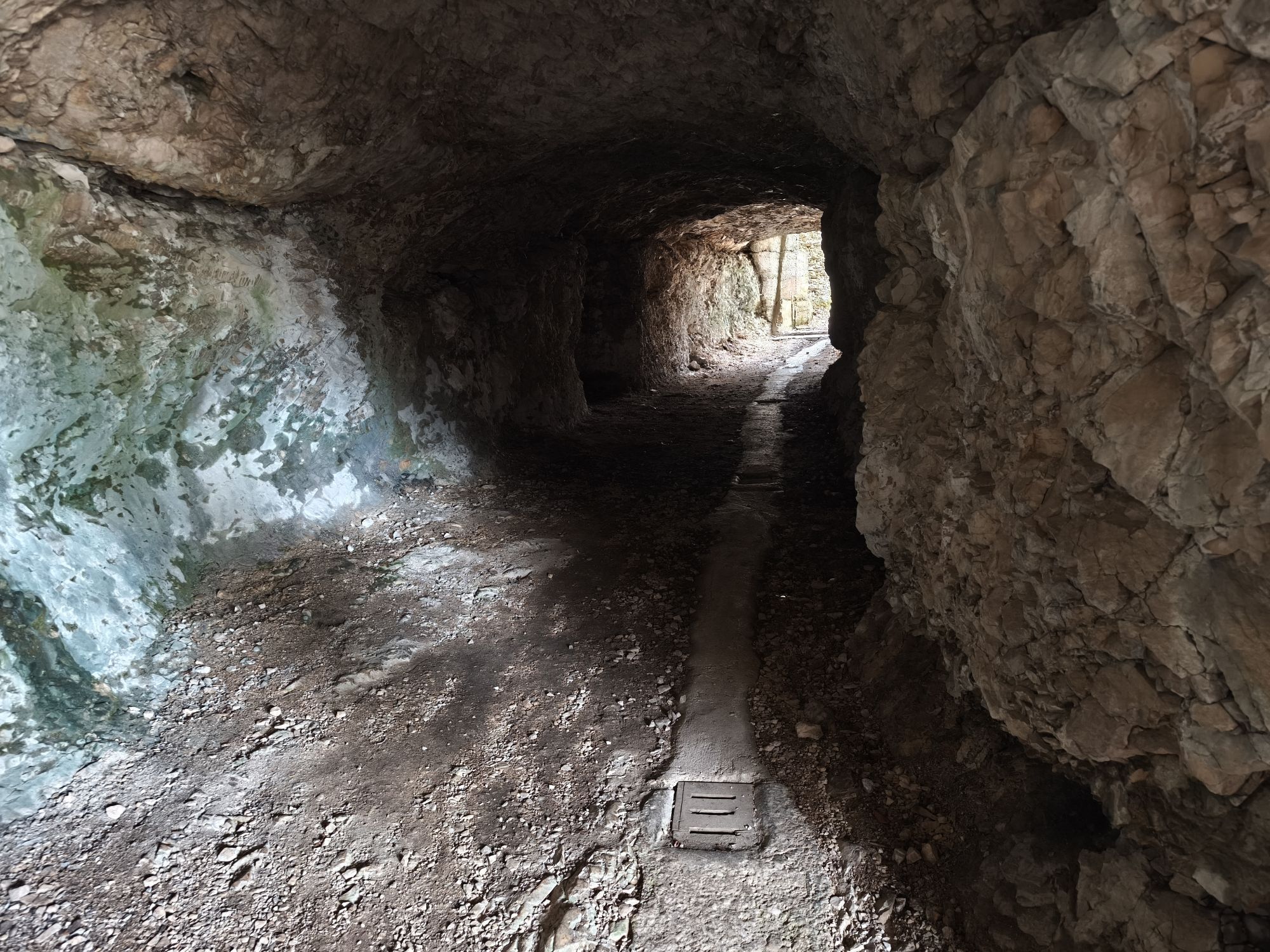
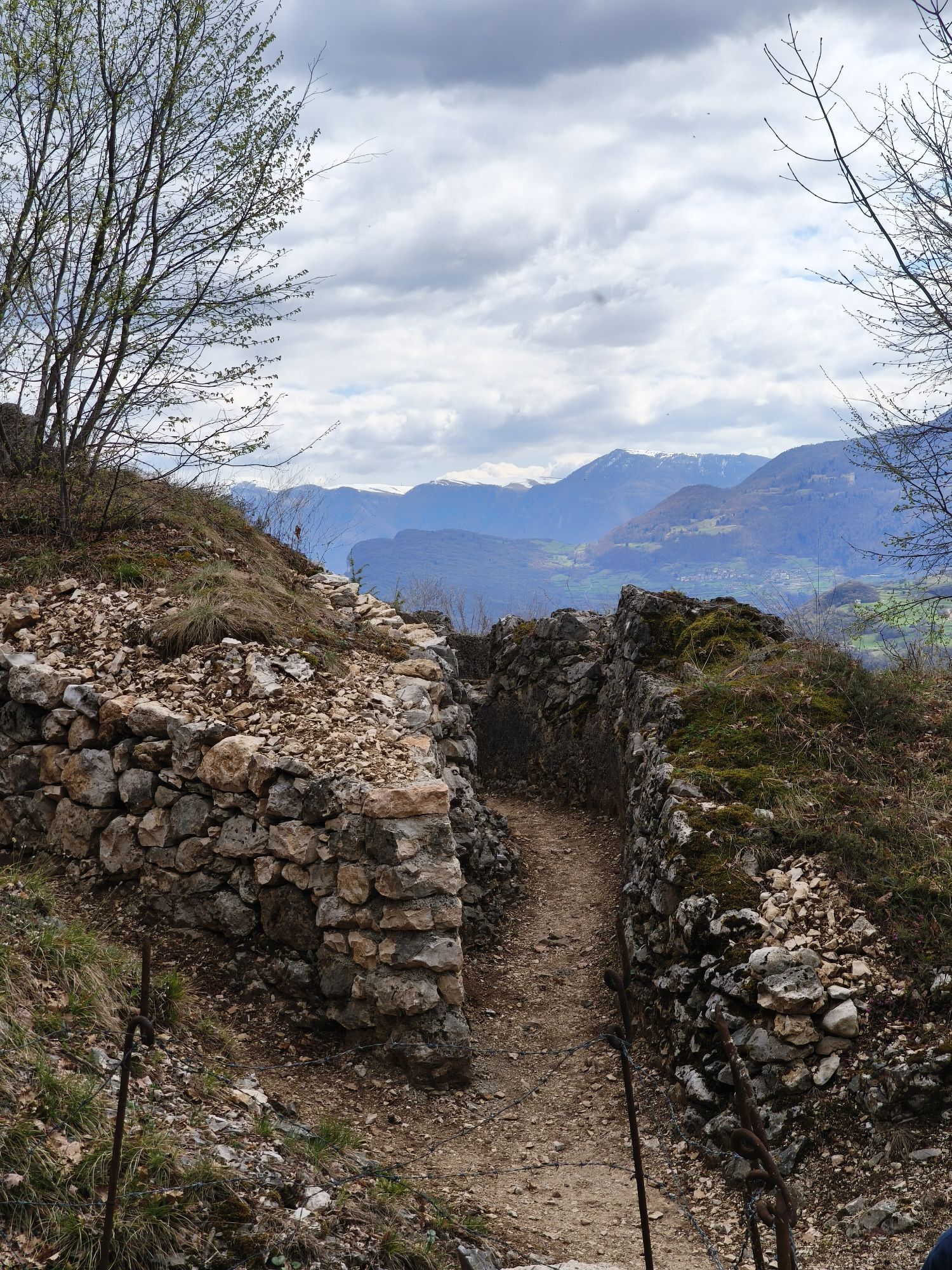
A thematic walk that lets us discover a complex and well-preserved trench complex in the vast Austro-Hungarian fortified system that guarded the area between Vallagarina and Upper Garda. In the Nagià Grom area, you can walk long stretches of trenches and observe remains of observation posts, artillery positions, kitchens, as well as various caves for storing materials and ammunition and for sheltering troops during the First World War.

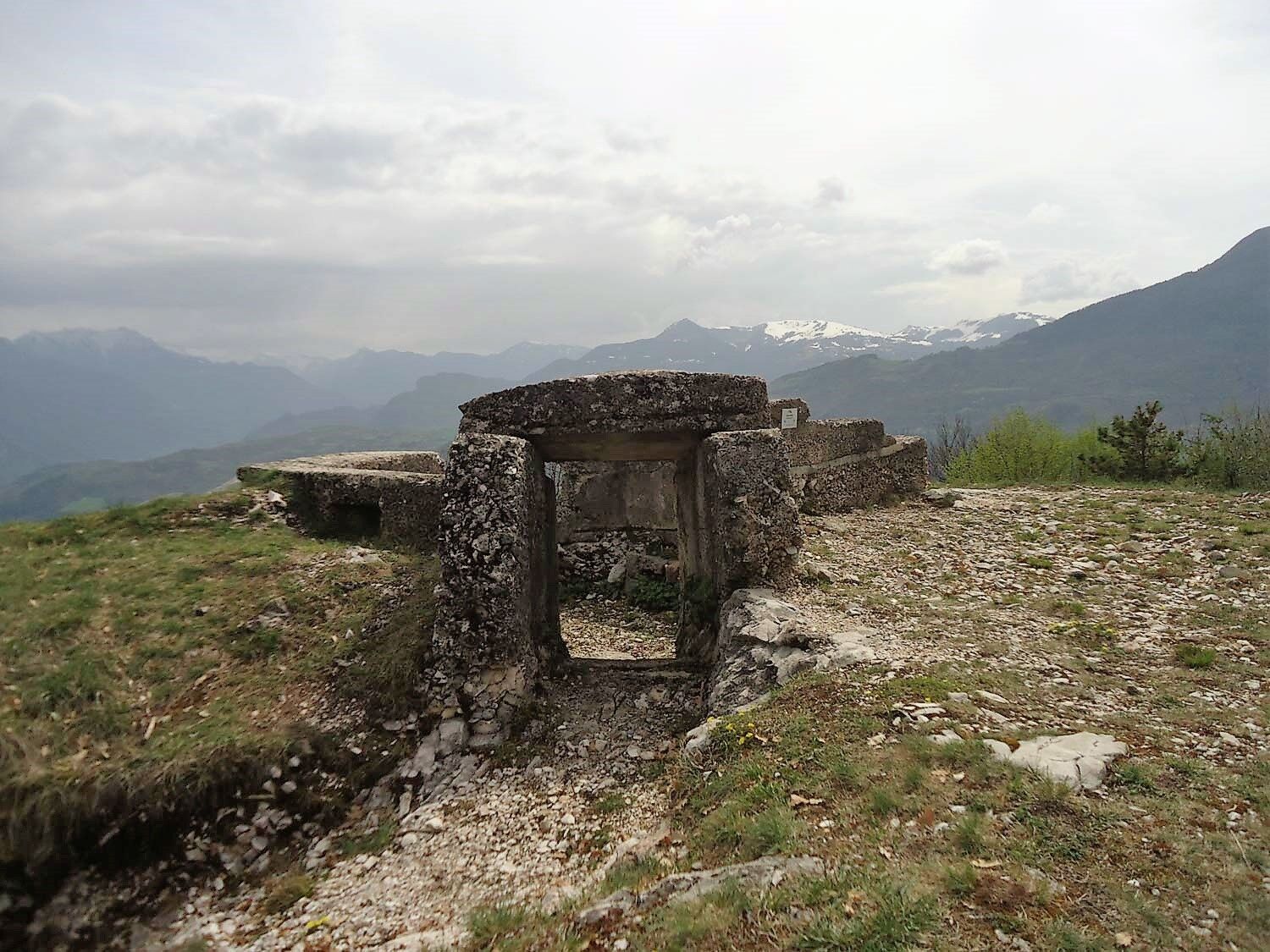

Arriving from Valle San Felice, you will find a large meadow near the bus stop at the beginning of the village. Parking is available here.
The first short section is on a dirt road rising right next to the parking area. Immediately after, it turns left climbing a steep mule track (signpost) which, after two hairpin bends and a paved section, reaches a flat area near the water collection tank, called Busa delle Anime. Here turn right and pass several cave entrances and concrete structures on the left side of the path, then enter a trench.
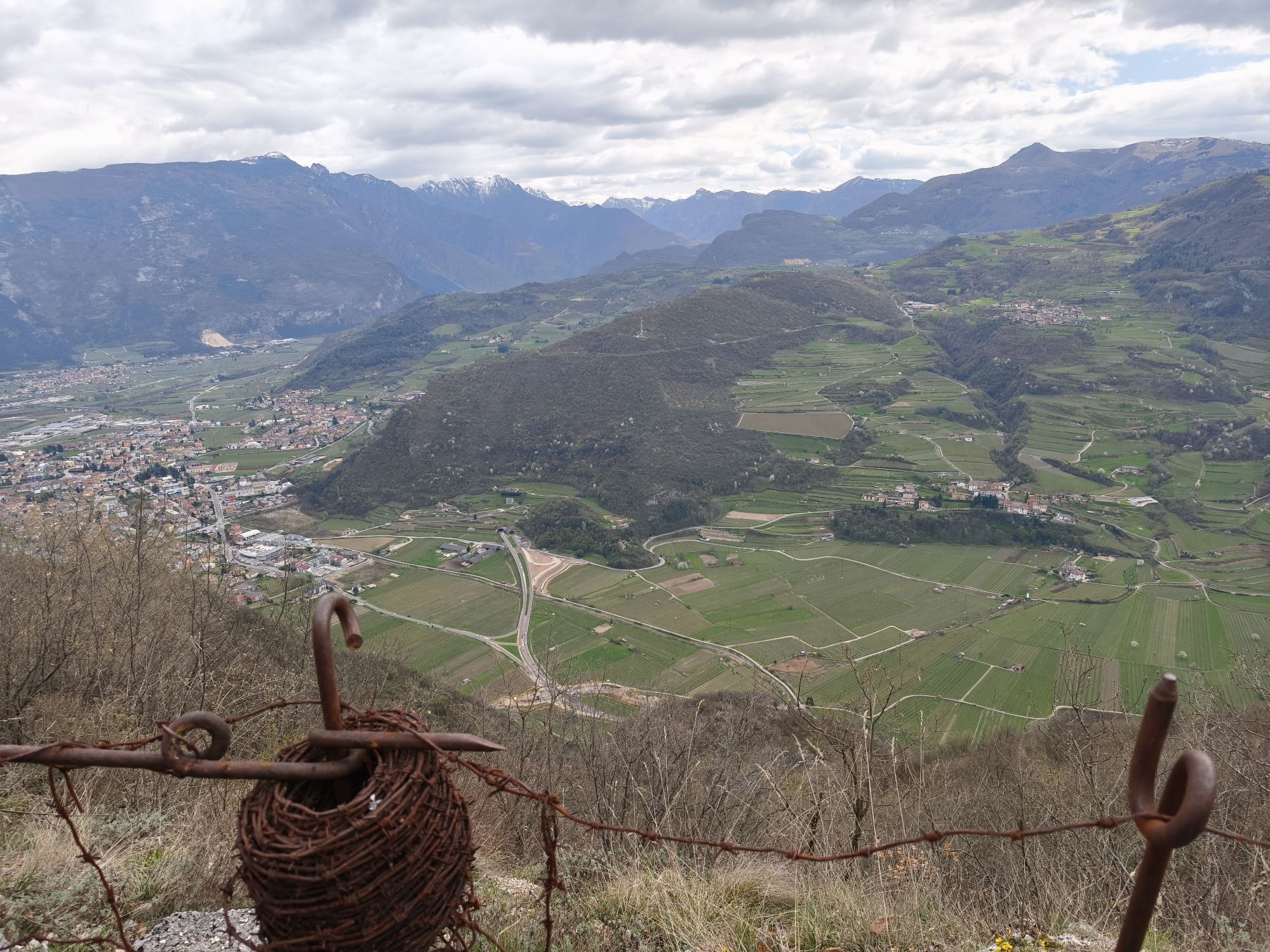
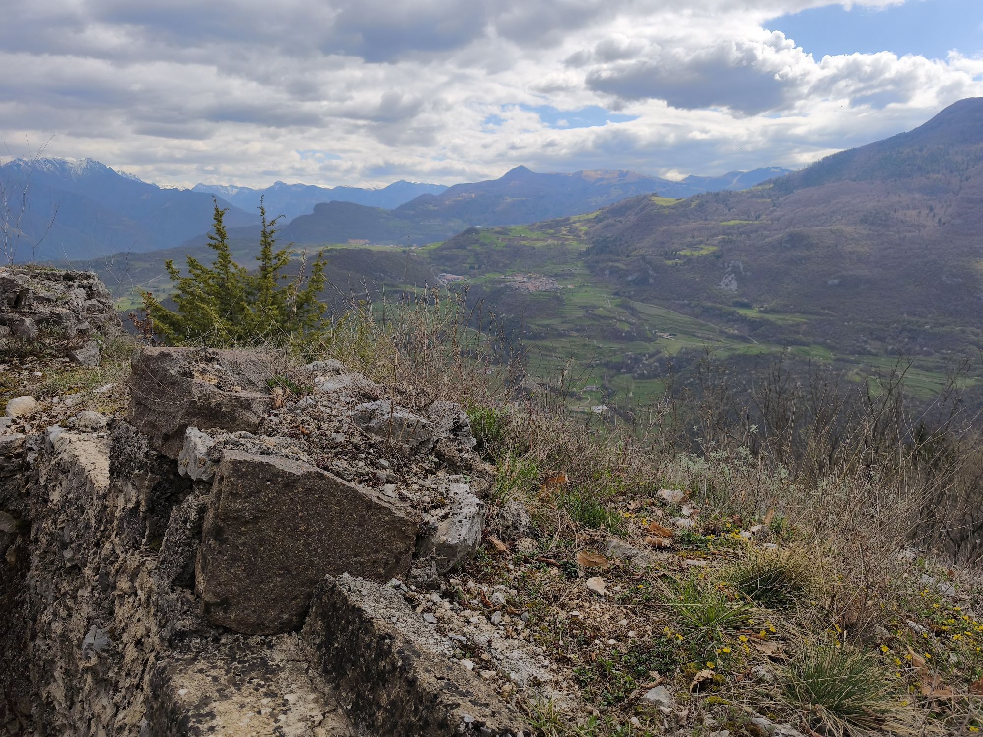
The winding path leads directly to a first junction at the cross commemorating the boys who died following the explosion of war remnants. Here turn right to quickly reach the kitchen area (informative signs). Then ascend to the right via a narrow stairway and continuing through the trench arrive at the rest area with a large meadow and view of Lake Garda.
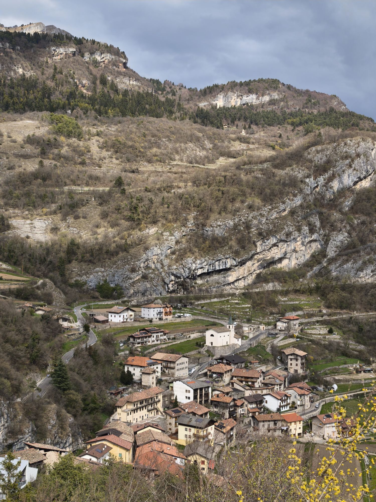
To continue, we recommend heading east towards the path behind the meadow, then descend to the right briefly to visit the covered rifle trench. Returning back, at a low cave entrance you can enter a narrow and winding trench carved in solid rock that emerges shortly after onto a meadow. Turn right and shortly afterwards following the trench to the left, reach a panoramic point fenced with barbed wire. Proceed further left in the trench to arrive at the cave area. It is possible to pass through them or ascend outside along the right side of the small hill to reach the photoelectric projector post. Opposite this post starts another trench that with a winding course offers a wide panorama over the hamlets of Nomesino and Manzano. At a junction, ascend left to reach the wooden memorial cross. Continuing further, on the left opens the large meadow that hosted the artillery observation post, while the trench descends to the right to meet again the small mule track connecting the tunnel exit with the projector post. Turning right you quickly reach the rest area clearing. To continue, descend to the right staying on the evident mule track that passes in front of the cave entrances used for storage and reconnects to the route taken for the ascent.
Adequate footwear is necessary.
As you can imagine, the usability of trails in a mountain environment is strictly linked to current conditions and therefore depends on natural phenomena, environmental changes, and weather conditions. For this reason, the information contained in this sheet may have changed. Before setting out, check the trail status by contacting the refuge managers along your route, alpine guides, natural park visitor centers, and tourist offices.
More information and insights on the dedicated page of the Gruppo Alpini "Remo Rizzardi" of Mori (A.N.A. Trento Section), responsible for the important restoration and cleanup work that made this significant historical site accessible.
Popularne wycieczki w okolicy
- 5,0
Bastione and Santa Barbara, the lords of Riva del Garda
średniWędrówka 2,94 km - 4,8
Sentiero Busatte Tempesta
światłoWędrówka 7,90 km - 4,8
Bocca Fortini - Tour
ciężkiMountainbike 35,4 km - 4,8
Via Ferrata Fausto Susatti - Cima Capi (from Ledro)
średniVia ferrata 7,11 km - 4,7
Via Ferrata Rio Sallagoni
średniVia ferrata 2,75 km - 4,6
Via Ferrata delle Laste e Gallerie di Cima Rocca
światłoVia ferrata 6,38 km - 4,6
Walking around Lake Ledro
światłoWędrówka 9,40 km - 4,9
Via Ferrata dell’Amicizia - Cima SAT
średniVia ferrata 4,41 km - 4,8
Ponale Path (from Ledro)
średniWędrówka 10,8 km - 4,6
Colodri Klettersteig (A/B)
Via ferrata 7,50 km
Wędrówki i tropienie


Nie przegap ofert i inspiracji na następne wakacje
Twój adres e-mail została dodana do listy mailingowej.





