







Ciclabile Arco - Torbole - Nago

Poziom trudności: 1
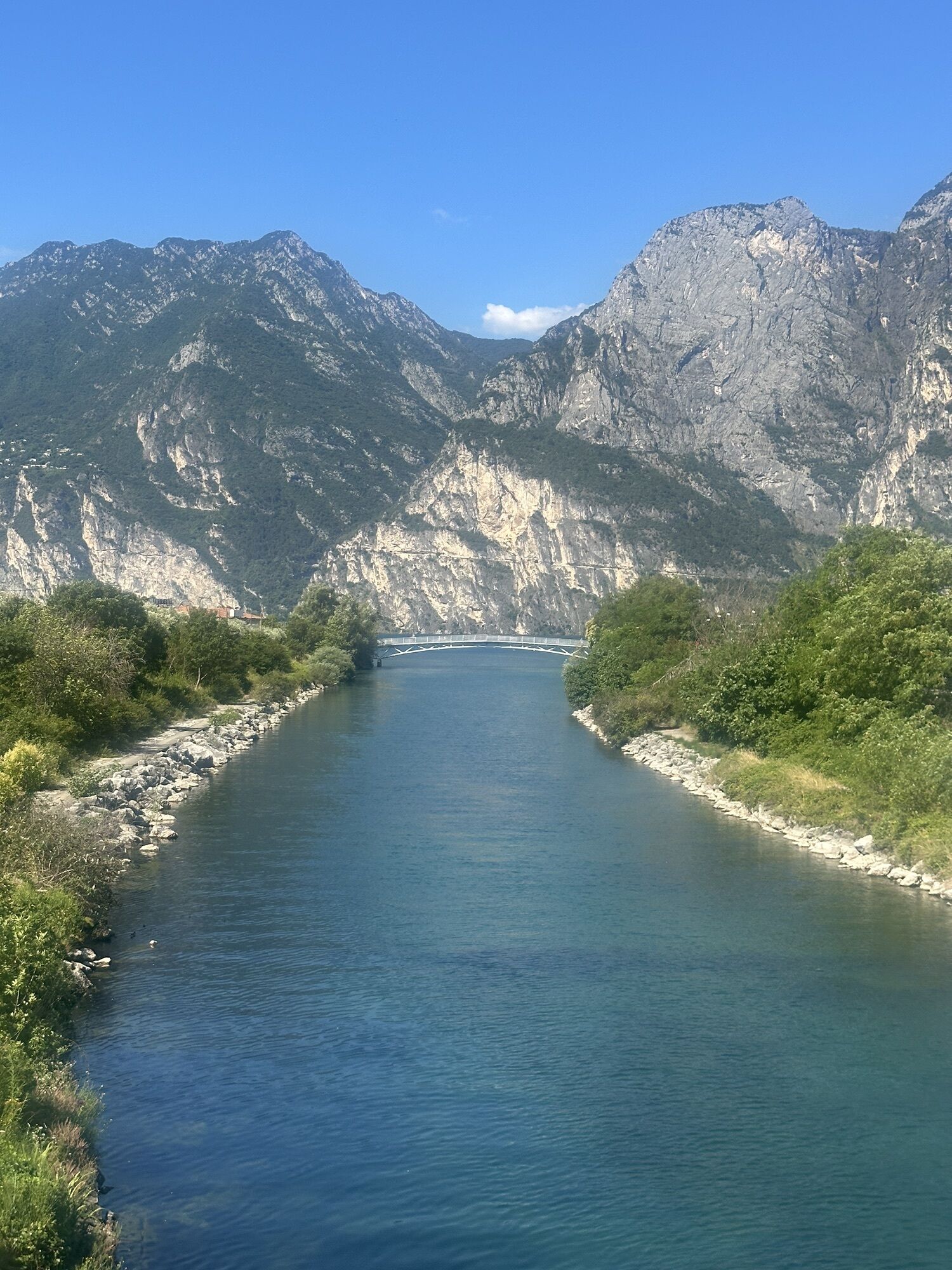
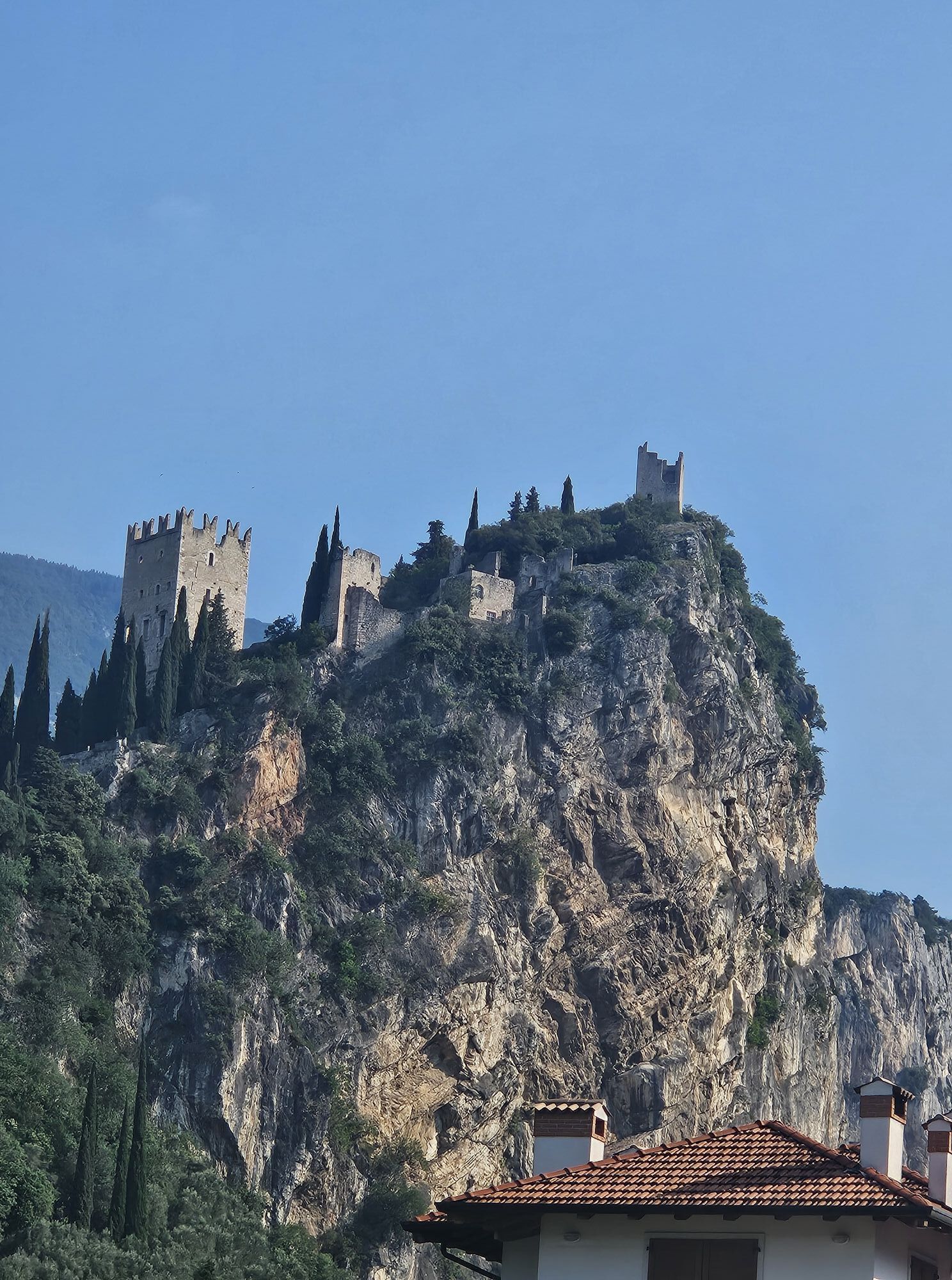
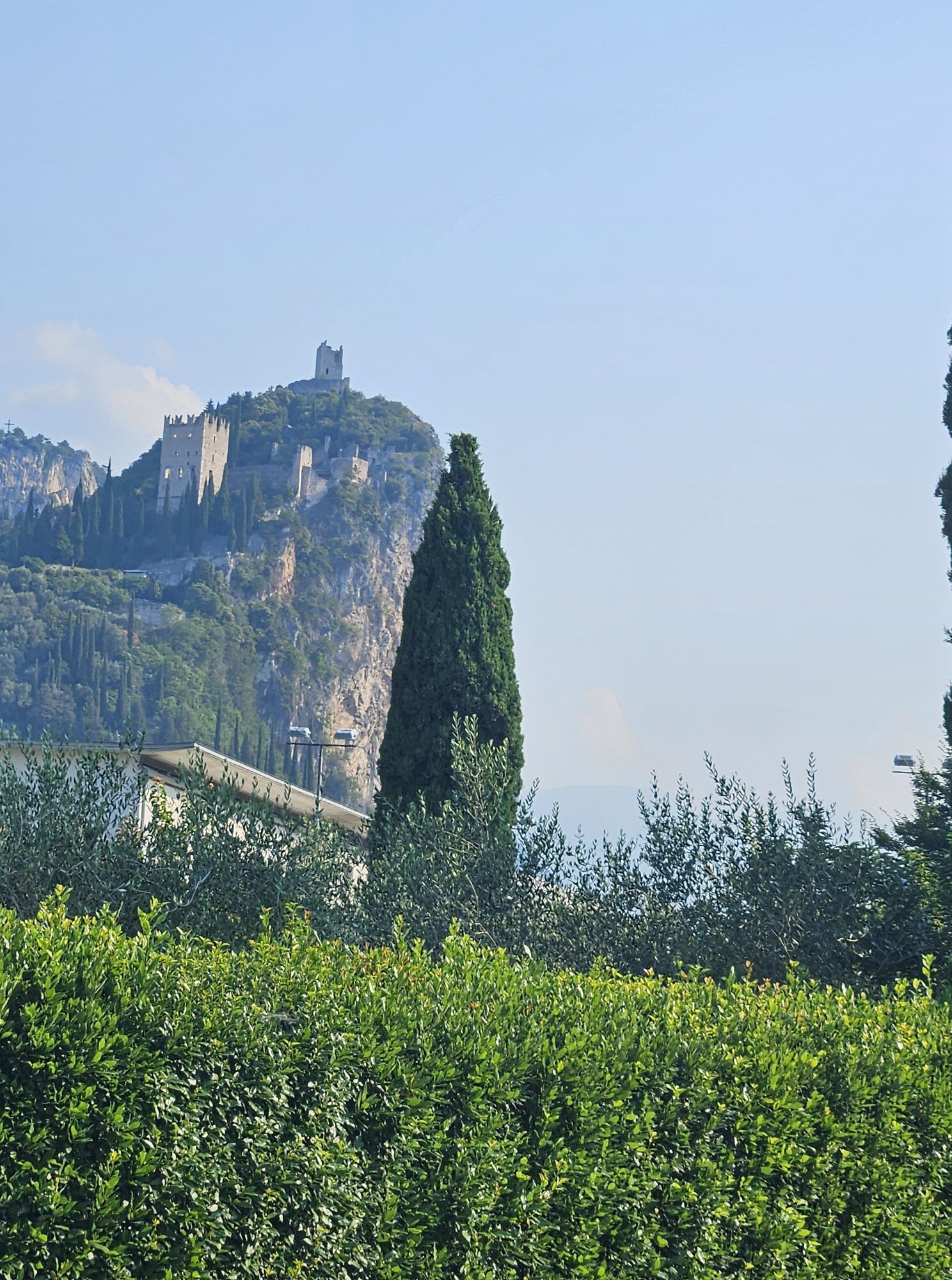
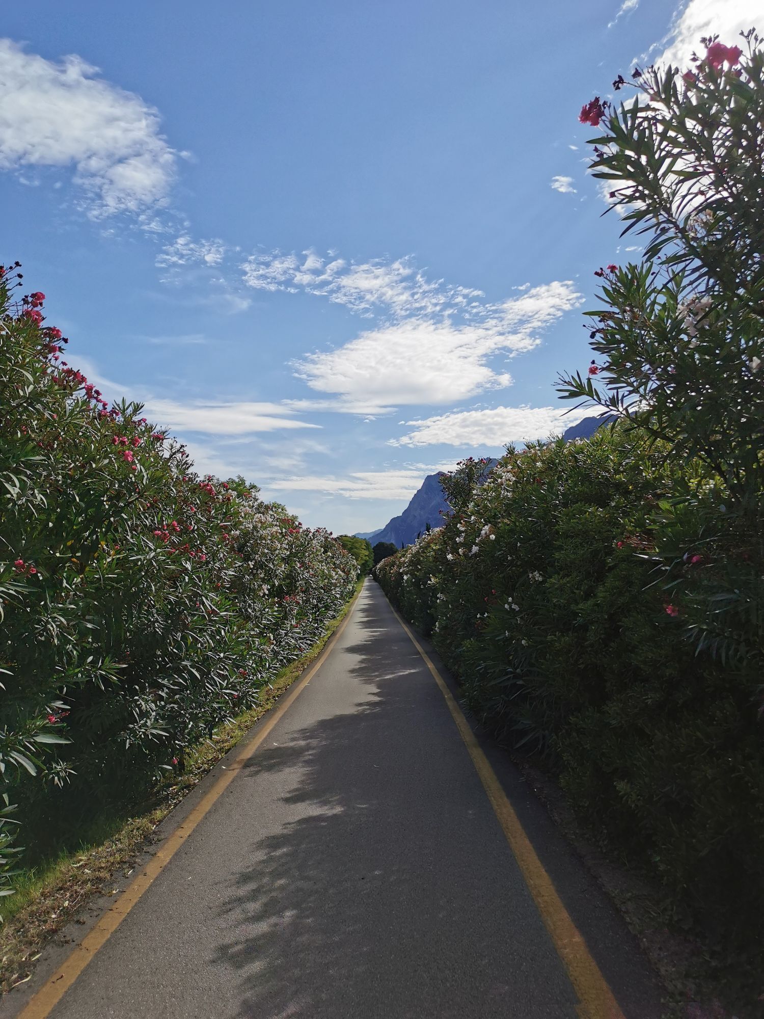
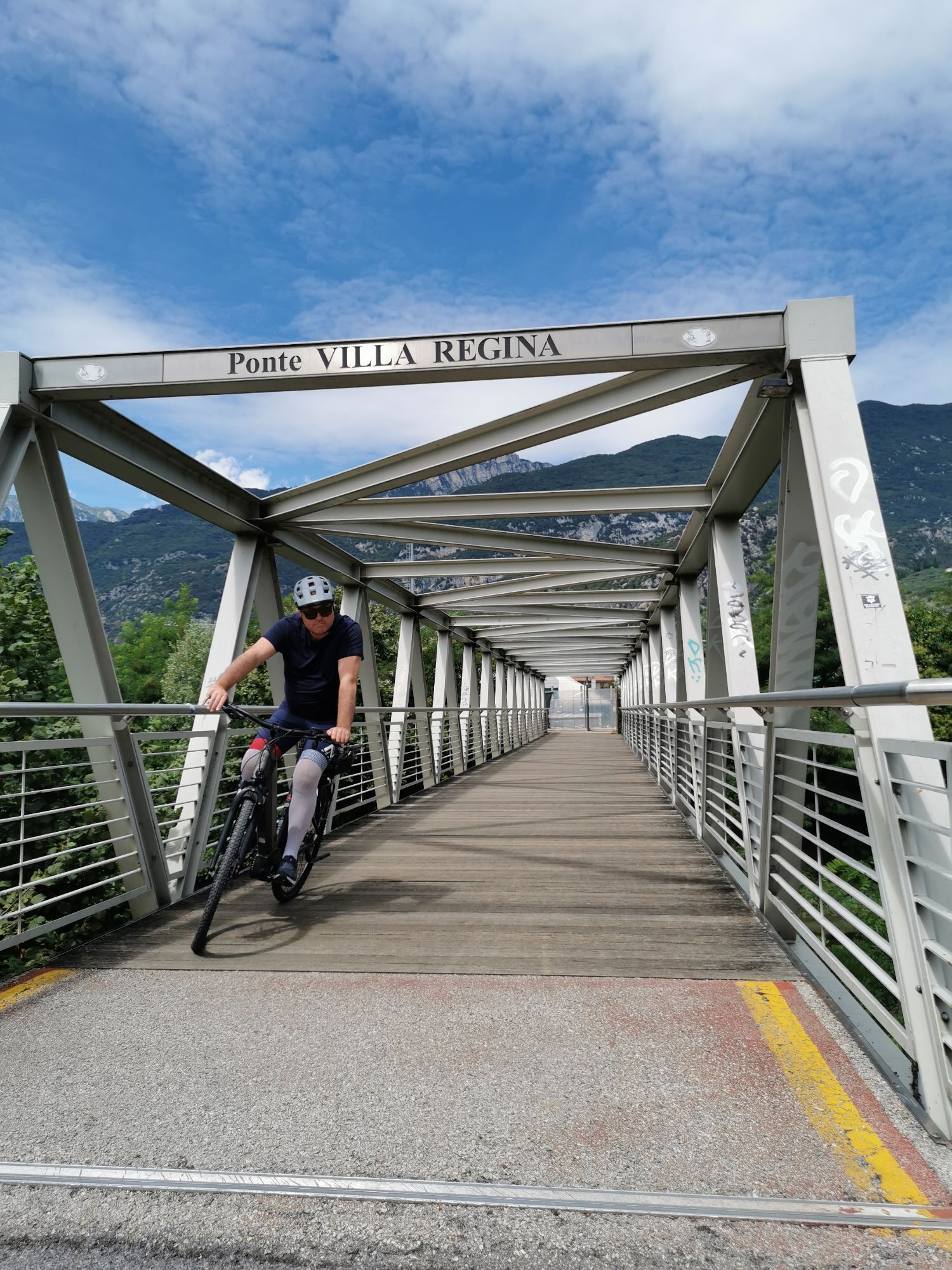
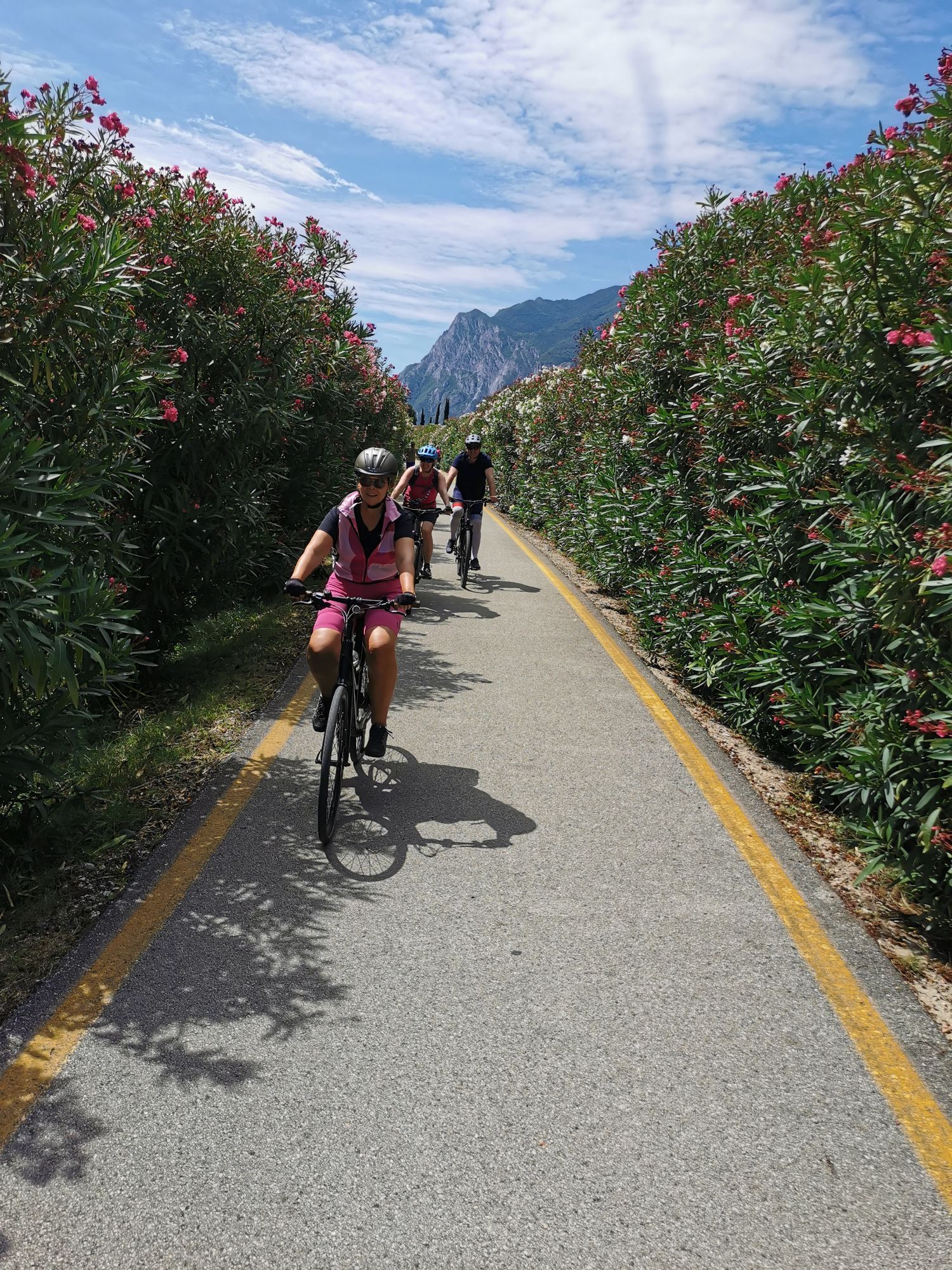
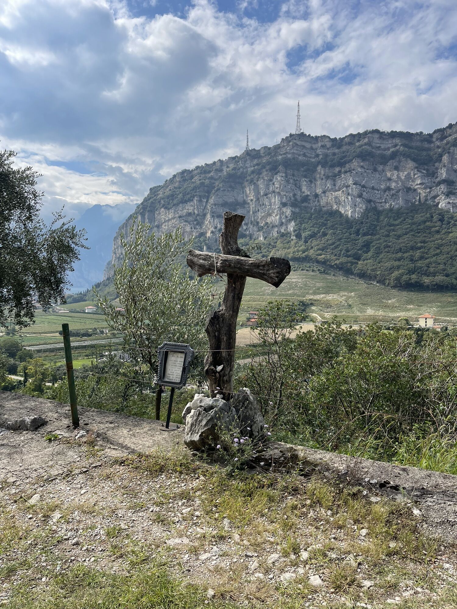
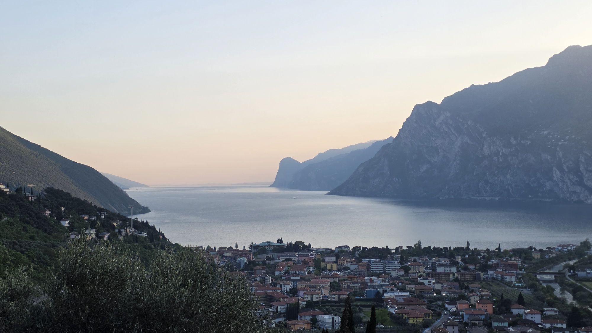
New panoramic cycle path between Arco, Torbole and Nago
This enjoyable loop route connects Arco, Torbole and Nago thanks to the new cycle path section built in Nago, creating a connection that will impress...
This enjoyable loop route connects Arco, Torbole and Nago thanks to the new cycle path section built in Nago, creating a connection that will impress every cycling enthusiast.
Starting from the Caneve parking area in Arco, follow the cycle path along the Sarca River to Torbole sul Garda. After passing through the historic centre, the route continues towards Nago along the historic Nago Vecchia road.
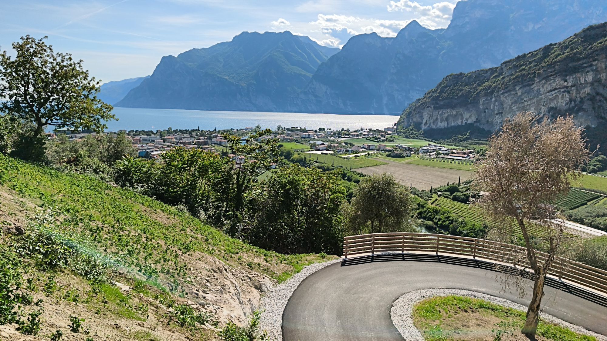
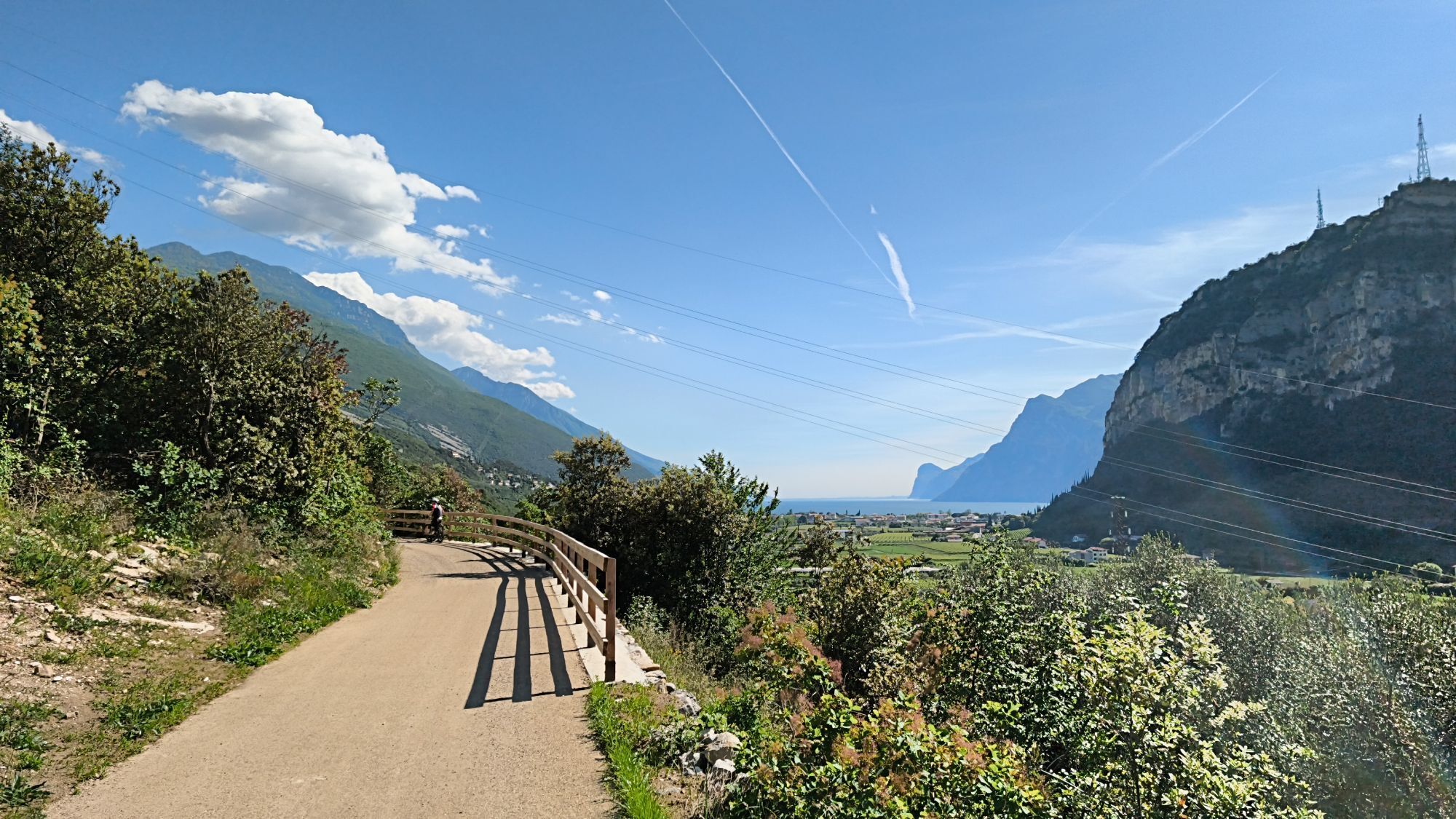
Once you reach the main roundabout in Nago, you'll encounter the real highlight of the route: the new cycle path connection leading back towards Arco. After a short tunnel, the landscape suddenly opens up to reveal Lake Garda, offering one of the most scenic viewpoints of the entire route. From here, the cycle path descends with a gentle gradient and wide bends, providing continuous views of the lake and the surrounding mountains. The route then joins the historic Porcilaia road towards Arco.
Crossing the countryside of Pratosaiano, you eventually return to the starting point. This brand-new section in Nago also makes it possible to continue cycling towards the Adige Valley (Nago, Loppio, Mori, Rovereto and beyond) on dedicated cycling infrastructure.

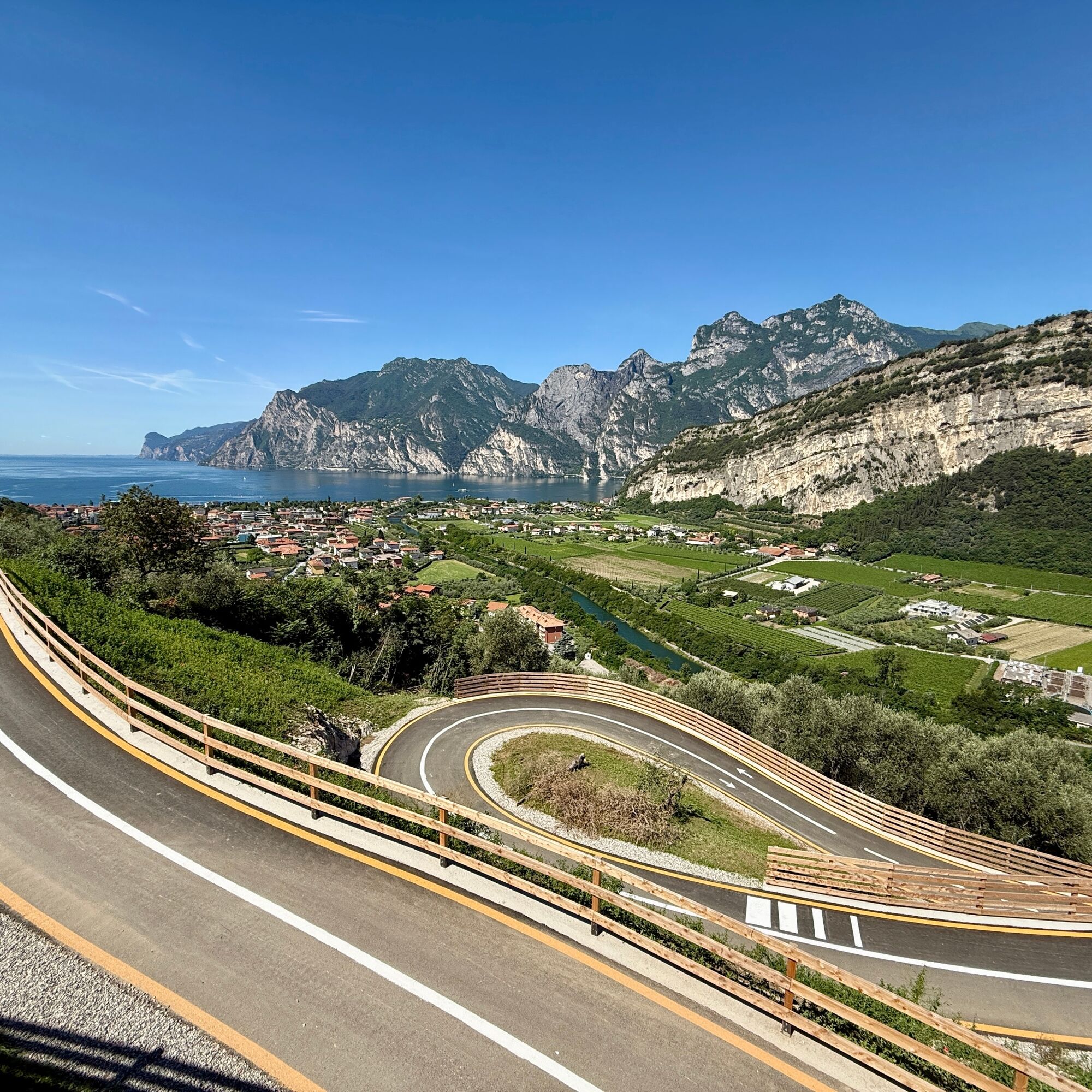
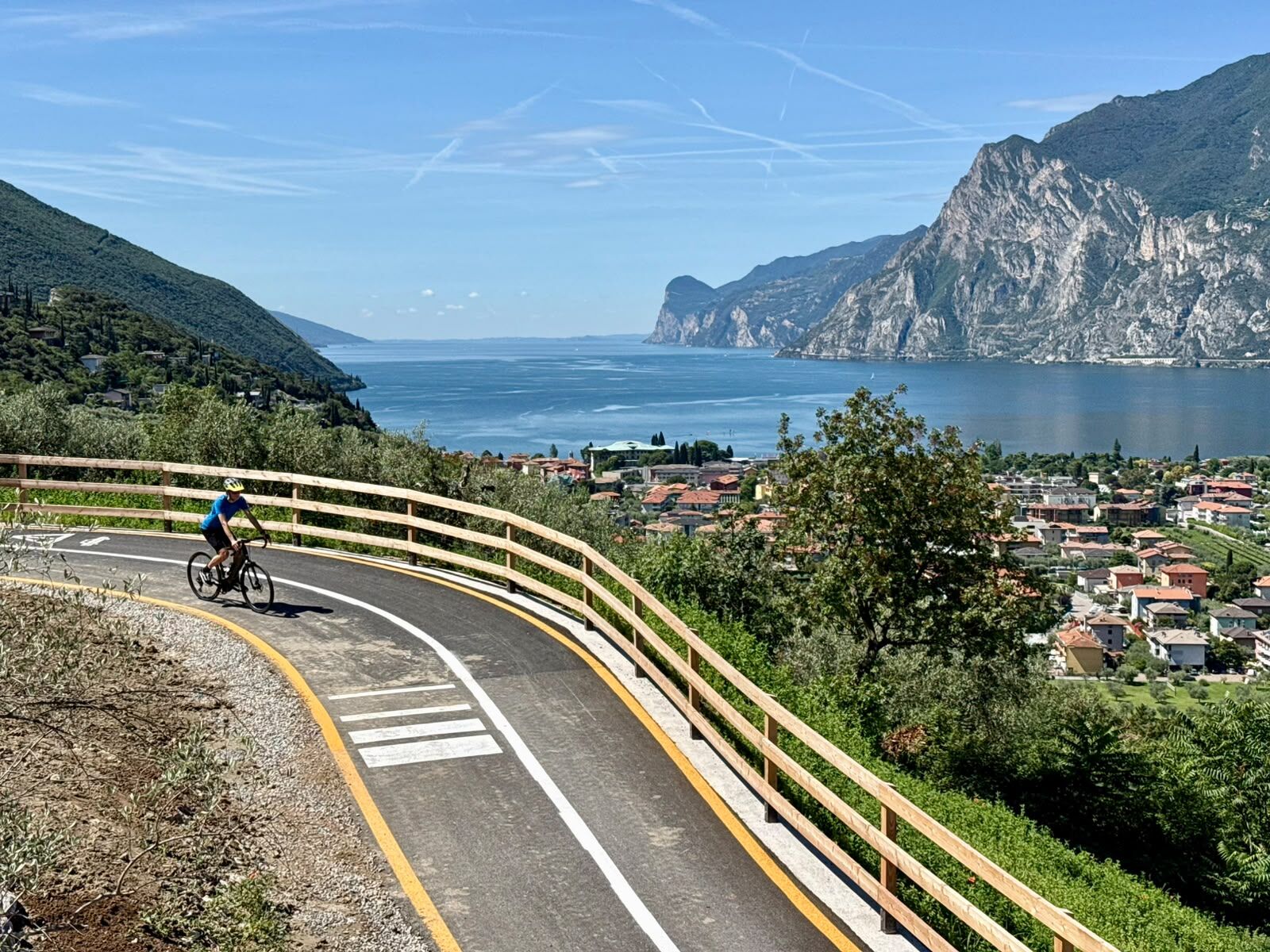
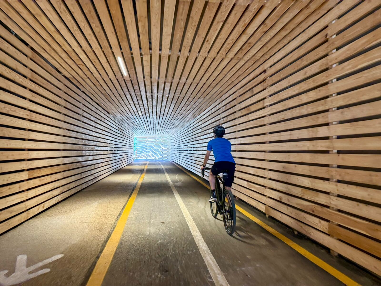
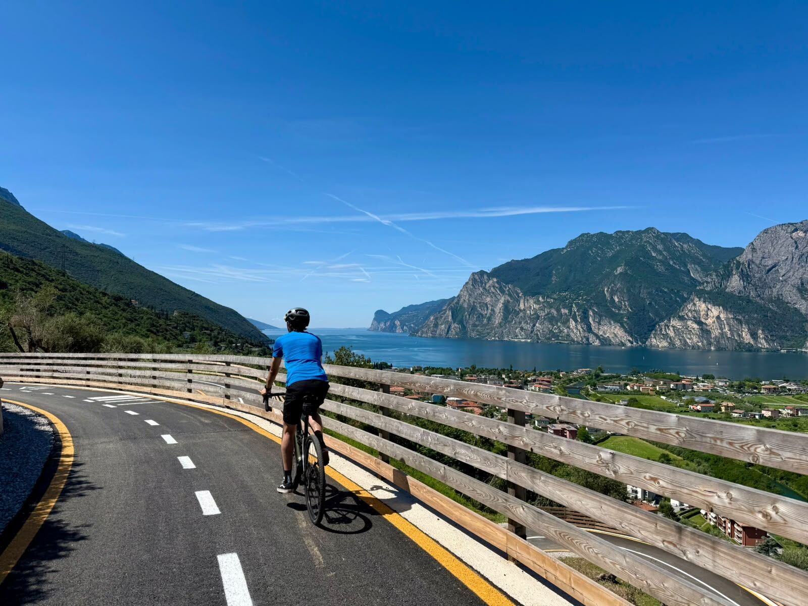
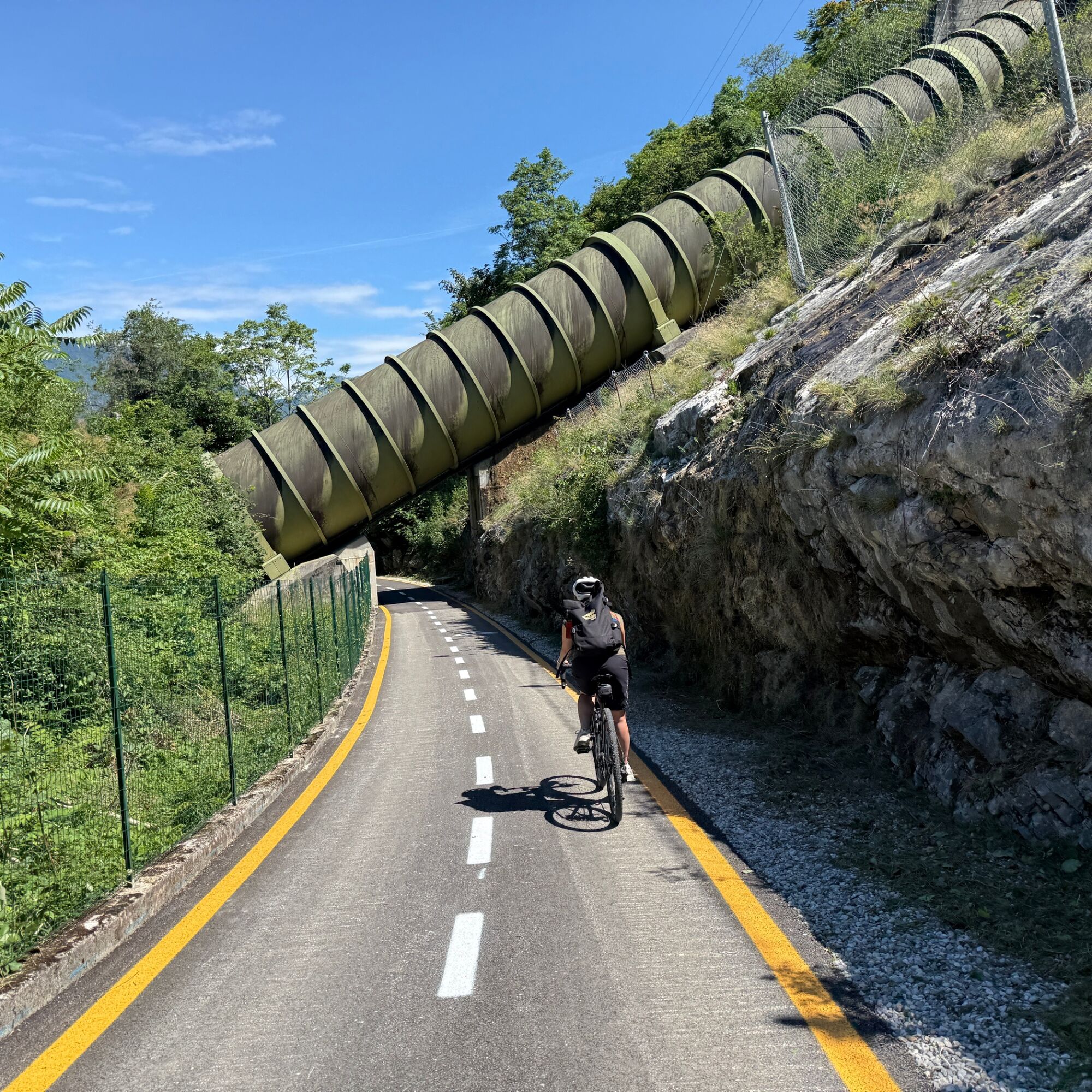
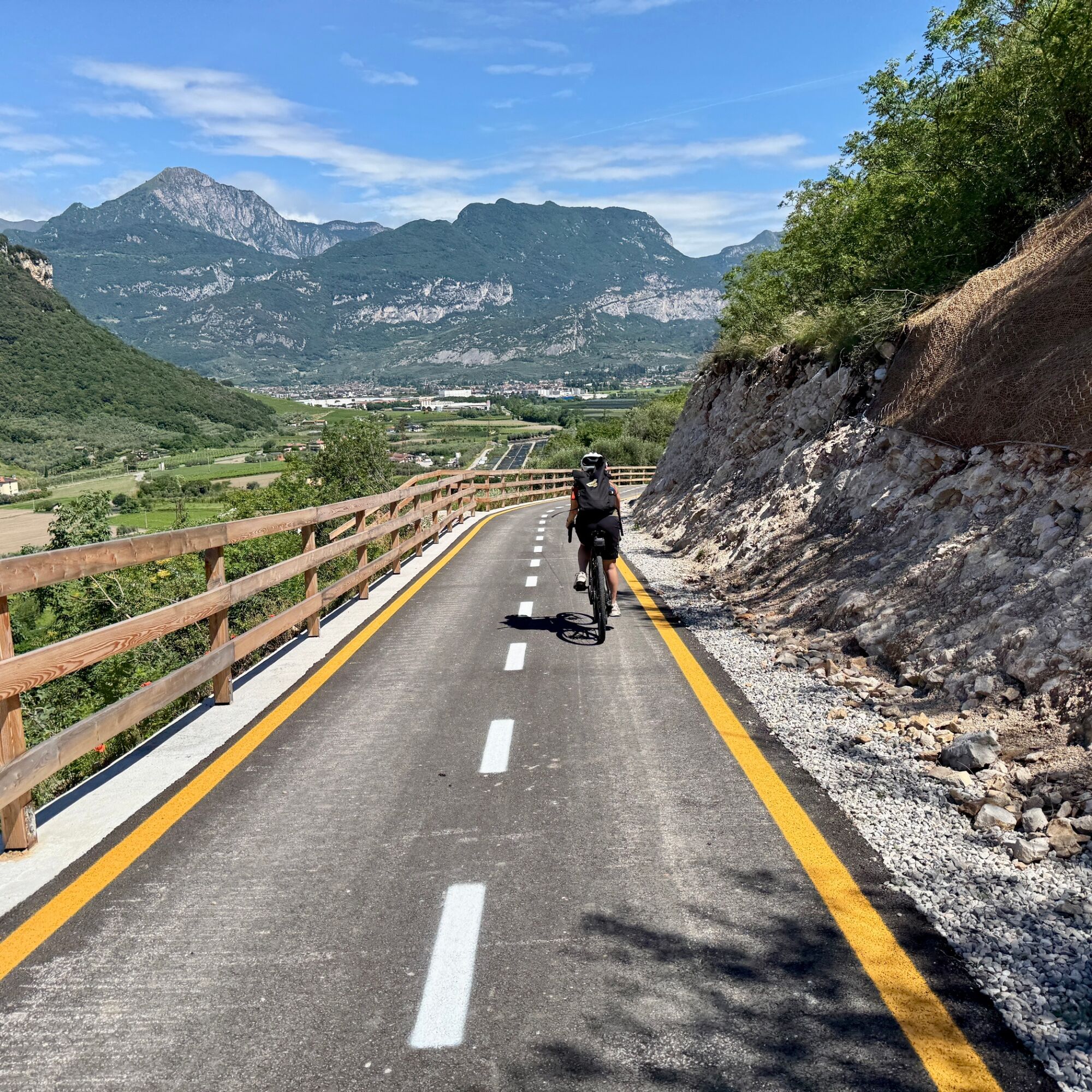
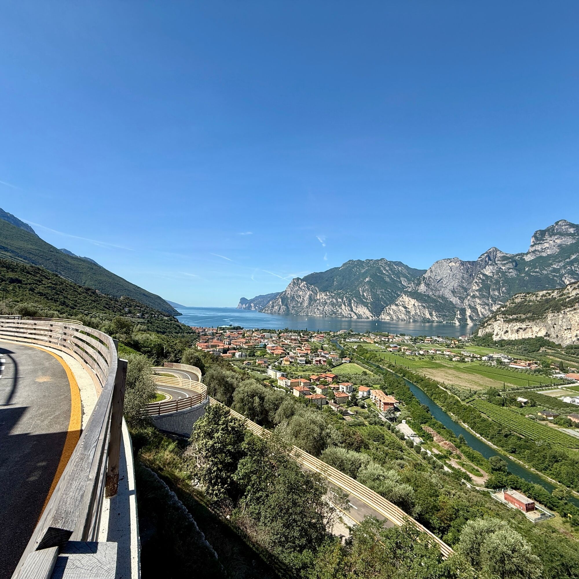

From the Caneve parking area in Arco, follow the Sarca cycle path towards Torbole sul Garda. After crossing the historic centre of Torbole, continue towards Nago along the Nago Vecchia road until reaching the village's main roundabout. From here, take the new panoramic cycle path descending towards Arco, passing through a tunnel and joining the Porcilaia road. Continue through Pratosaiano and return to the starting point.
Tak
Remember to thoroughly evaluate the type of route you plan on doing, the locations you intend to cross and the current season. Has it been raining? Attention: The paths may be slippery and require more caution.
What do I need to bring on my bike tour?
An adequate water supply according to your needs (considering temperature, possibility of refuelling and duration of the route) Plenty of snacks (for example, dried fruit or energy bars) Waterproof / Windproof jacket A spare top / spare socks (Descending in a sweaty garment, will make you cold). Suncream Sunglasses Bike gloves/mitts Map or GPS device Bike lights: best placed on your helmet or handlebars. (It is always best to be prepared) Bike repair kit for punctures and mechanical breakdowns First aid kit Emergency whistleIt is always advised to let someone know where you plan to go and how long you expect to be.
Emergency telephone number 112.
This information is subject to inevitable variations, so none of these indications are absolute. It is not entirely possible to avoid giving inexact or imprecise information, given how quickly environmental and weather conditions can change. For this reason, we decline any responsibility for changes which the user may encounter. In any case, it is advisable to check environment and weather conditions before setting out.
1
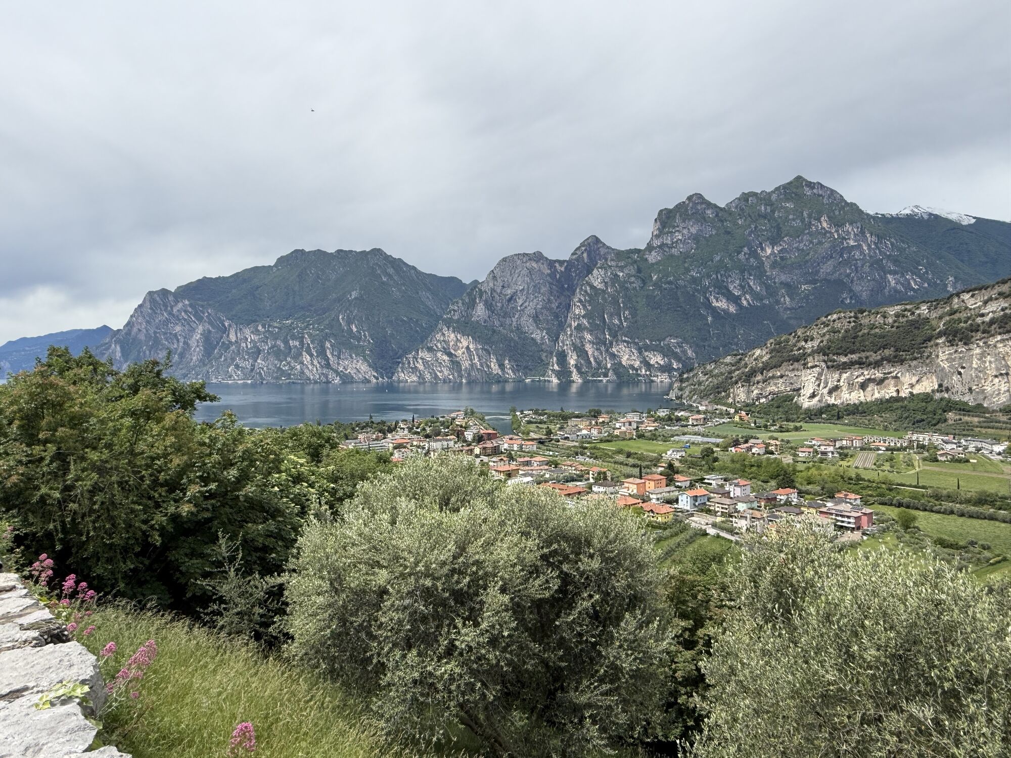
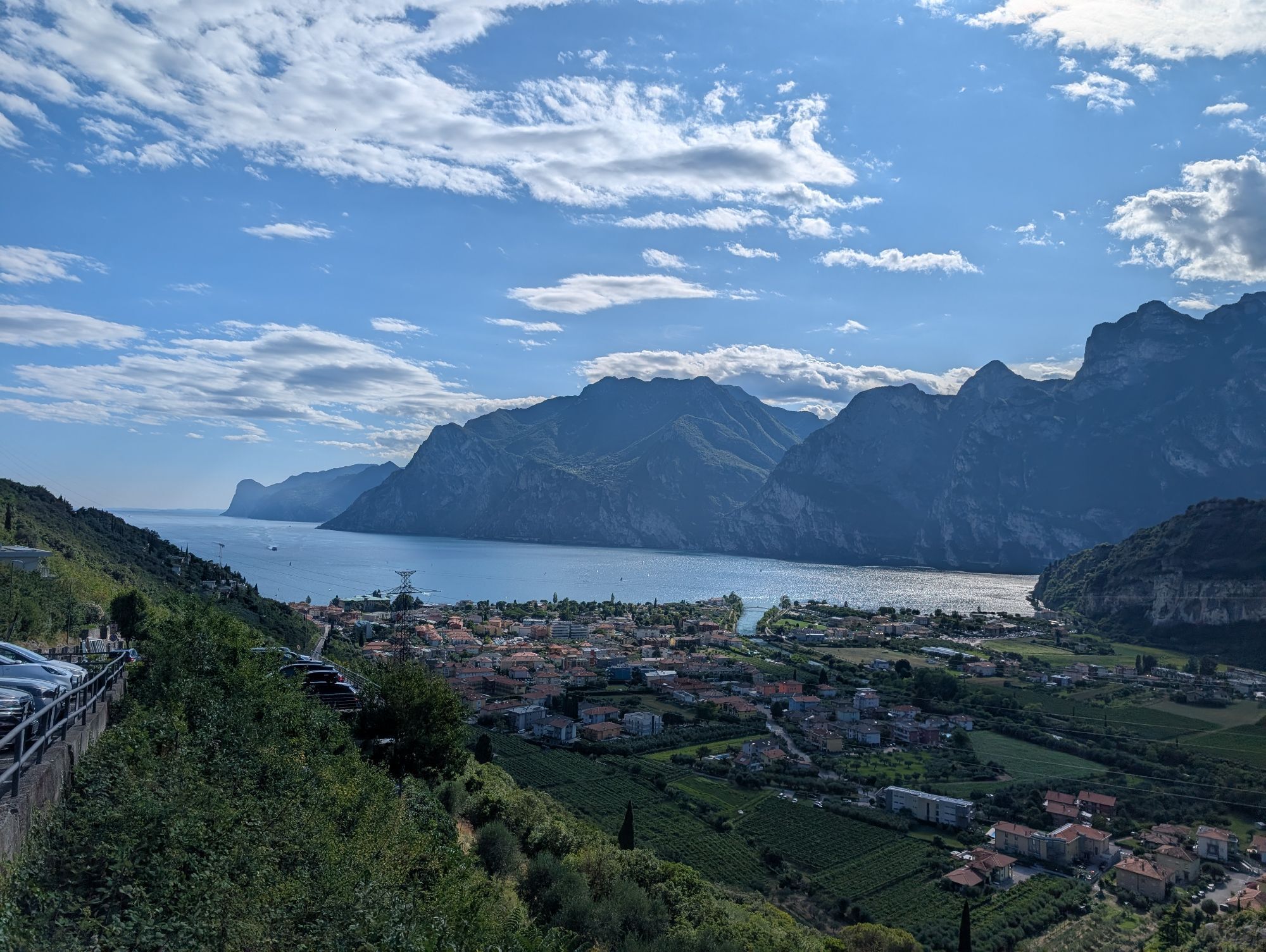
From the trail, you can admire the full beauty of Lake Garda, with sweeping views stretching from the northern shores to the south.

Kamery internetowe z trasy


Popularne wycieczki w okolicy
- 5,0
Via Ferrata Signora delle Acque - Rio Ruzza
ciężkiVia ferrata 5,32 km - 5,0
Bastione and Santa Barbara, the lords of Riva del Garda
średniWędrówka 2,94 km - 4,9
Via Ferrata dell’Amicizia - Cima SAT
średniVia ferrata 4,41 km - 4,8
Bocca Fortini - Tour
ciężkiMountainbike 35,4 km - 4,8
Via Ferrata Rio Sallagoni
średniVia ferrata 2,75 km - 4,8
Sentiero Busatte Tempesta
światłoWędrówka 7,90 km - 4,8
Via Ferrata Fausto Susatti - Cima Capi (from Ledro)
średniVia ferrata 7,11 km - 4,6
Via Ferrata delle Laste e Gallerie di Cima Rocca
światłoVia ferrata 6,38 km - 4,5
Walking around Lake Ledro
światłoWędrówka 9,40 km - 4,5
Tremalzo Big - Tour
ciężkiMountainbike 45,6 km
Wędrówki i tropienie


Nie przegap ofert i inspiracji na następne wakacje
Twój adres e-mail została dodana do listy mailingowej.





