


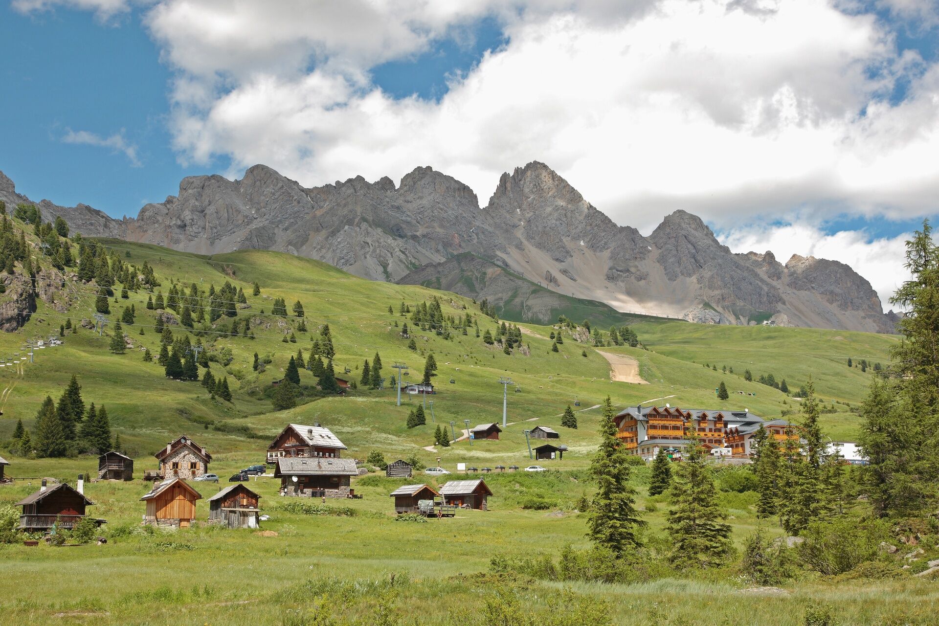
Moena - Passo San Pellegrino - Rifugio Fuciade - Moena
Poziom trudności: S2

From the square in Moena, follow the main road towards Soraga. After about 50 m, at the crossroads, turn right and take "Strada de Someda" which, with a pronounced gradient, leads to the hamlet of the...
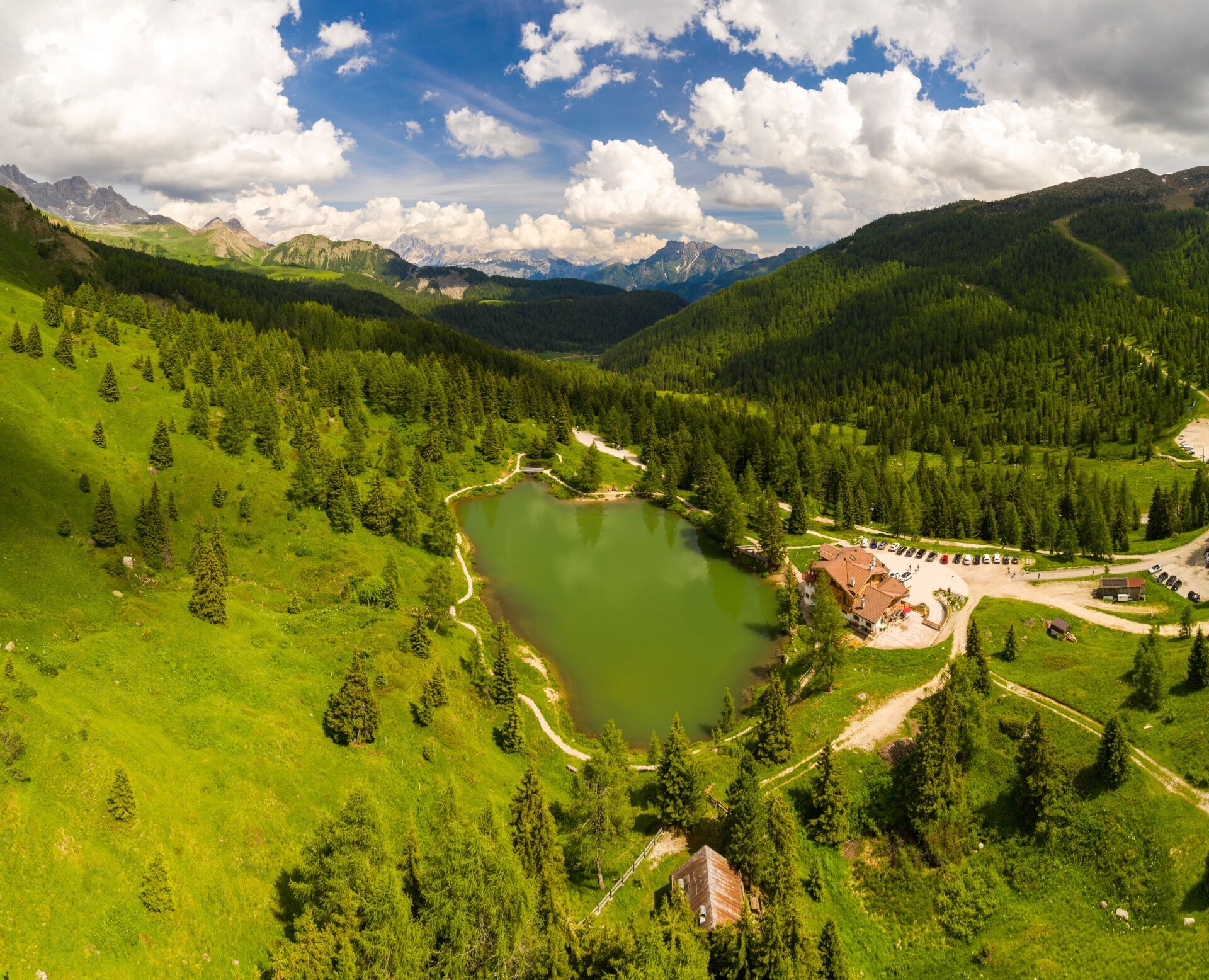
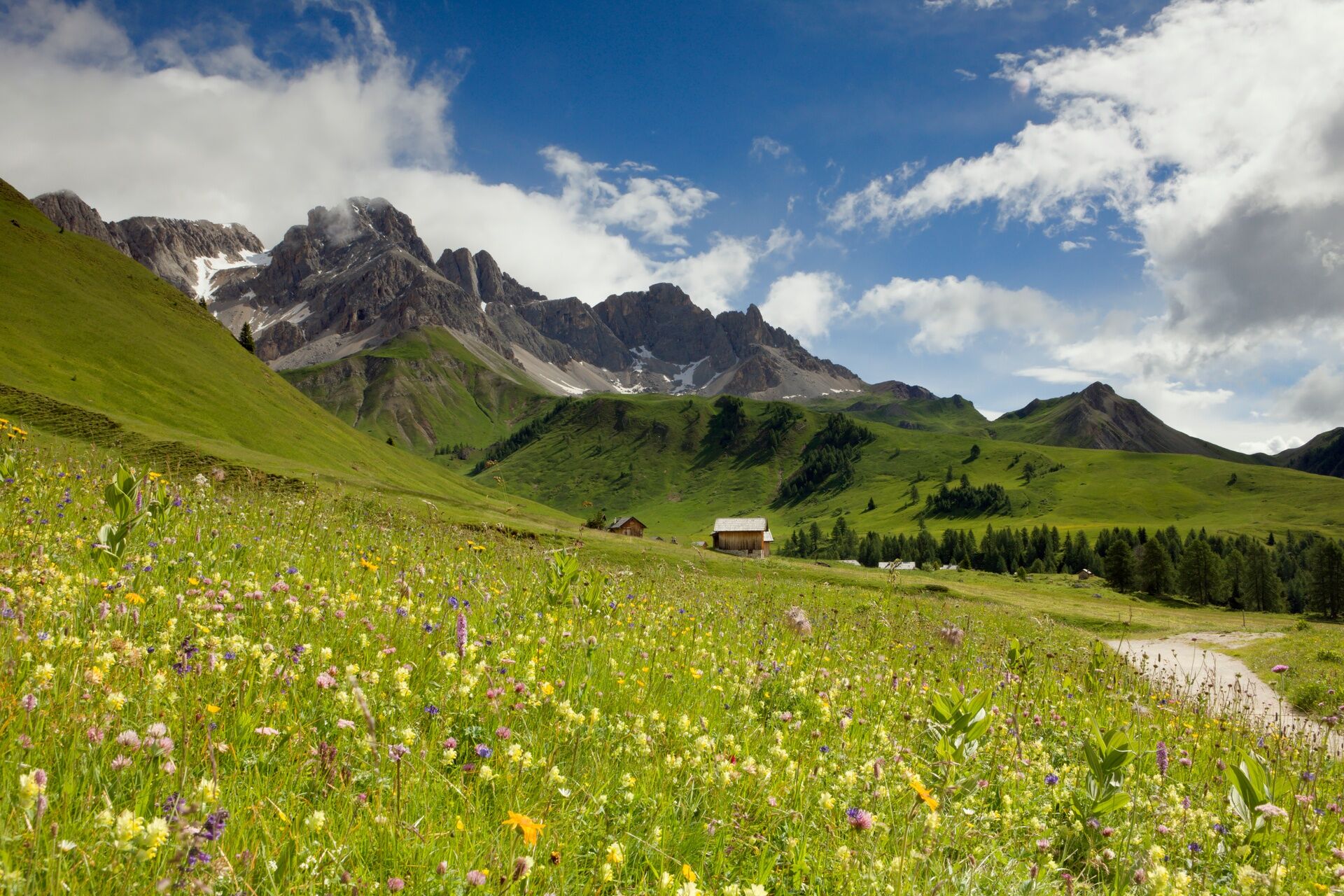
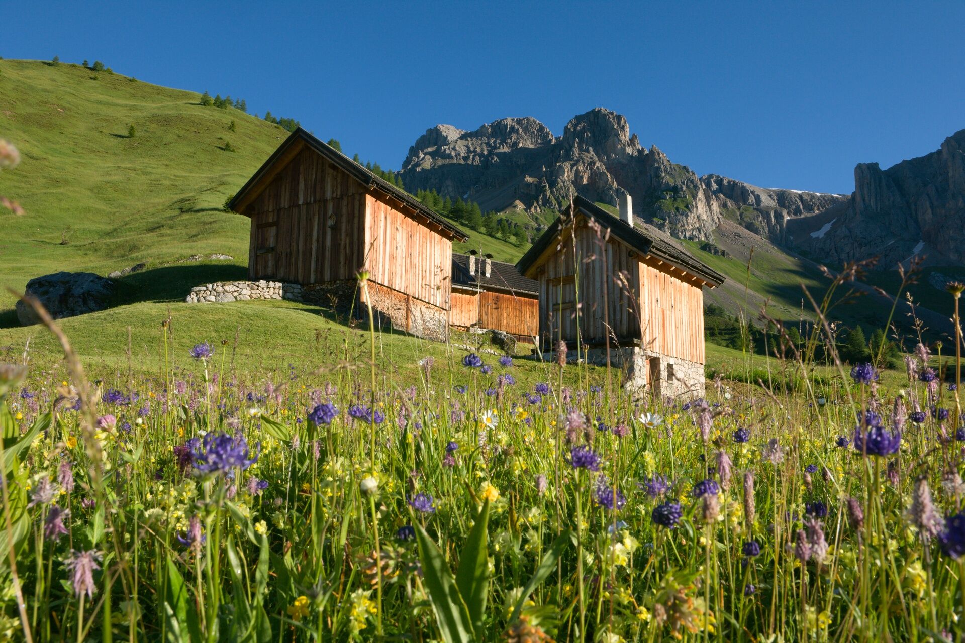
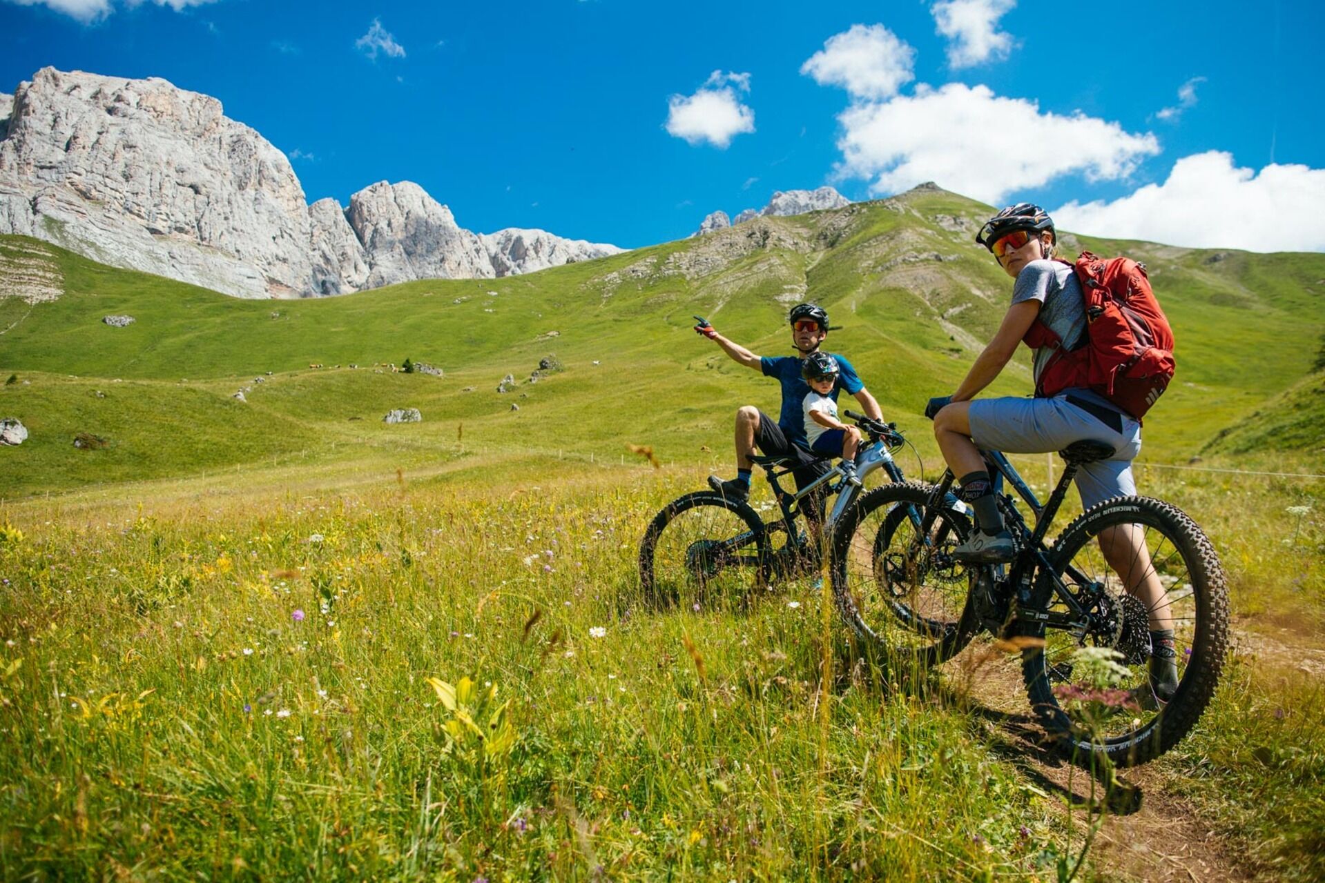
From the square in Moena, follow the main road towards Soraga. After about 50 m, at the crossroads, turn right and take "Strada de Someda" which, with a pronounced gradient, leads to the hamlet of the same name. At the crossroads, keep right and exit the settlement through "Strada de Sèn Roch". Pass by the First World War Austrian fort and continue on paved road, alternating short stretches with a moderate gradient with flat sections. Follow the course of "Rif de Sèn Pelegrin" stream from above until reaching, in "Ronchi" area ("I Ronc"), the valley station of "Lusia" gondola and, after a steep but brief climb, the bridge over San Pellegrino stream. Cross the main road and take the forest road on the right ("Le Tenebre"), which runs parallel to the stream. The route features long, flat or slightly uphill, stretches, interrupted at regular intervals by three rather steep ramps, which however don’t exceed 200/250 metres in length. "Vaia" storm of 2018 wiped away a large portion of wood, making the itinerary more open and sunnier. Go past the area of "Fango" and continue towards San Pellegrino Pass. At Malga Negritella hut keep right, go up the dirt road towards the cabins of "Ciamp de l'Ors" and pedal following the well-beaten track. Exit near the pass and filter in the main road. Once reached the pass, go down the other side for about 200 m and, at a track overpass, take a left on the road that leads to the parking nearby Hotel Miralago; here, take the mostly flat dirt road that allows you to reach Fuciade basin. For the return, shortly after Fuciade hut, at the crossroads turn left and descend along the steep, narrow road that, passing in front of Malga Boer hut, ends up on San Pellegrino’s state road. Climb back to the pass and then face the long descent towards Moena.


From the hamlet of Someda (Moena), continue along "Strada de Sèn Roch", exiting the settlement. Pass by the First World War Austrian fort and follow the course of "Rif de Sèn Pelegrin" stream from above until reaching, in "Ronchi" area ("I Ronc"), the valley station of "Lusia" gondola. Follow the directions for MTB tour no. 2163.
Tak
Wear adequate clothing, footwear and equipment suitable for the length and grade of difficulty of trail to be taken. Always try to be self-sufficient and carry with you the necessary to face possible emergency situations and a first aid kit.
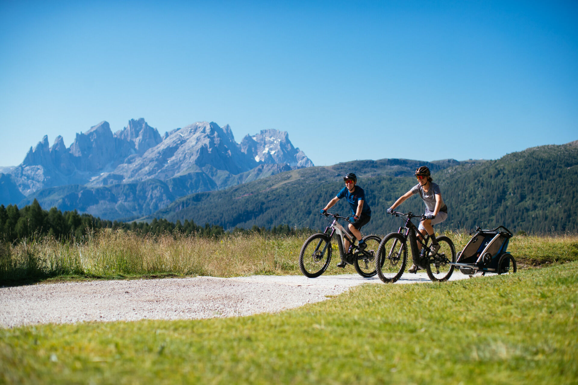
Ideal route for: mountain bike, e-MTB.
Plan a tour based on your skills and on the weather.
Proceed slowly and enjoy the view and the silence.
Adapt your riding style to the characteristics and the conditions of the ground.
Rely on the bike guides.
Wear adequate clothing and equipment.
Respect the environment surrounding you and bring your waste back.
Follow the path and avoid the ones prohibited to bikes.
Help those who need it.
Be careful on the cycling path and on routes with pedestrians.
If you come across pedestrians and hikers, warn them of your approach and slow down.
Other access points to Val di Fassa:
from A27 motorway (Venezia), exit Belluno/Ponte nelle Alpi, S.S. 203 to Agordo and S.P. 346 to San Pellegrino Pass - Moena (Val di Fassa). At the roundabout in Moena, proceed towards Canazei from A27 motorway (Venezia), exit Belluno/Ponte nelle Alpi, S.S. 203 to Agordo/Alleghe/Rocca Pietore. S.P. 641 to Fedaia Pass - Canazei coming from Arabba, S.S. 48 to Pordoi Pass - Canazei from Val Gardena, S.S. 242 to Sella Pass - CanazeiPublic transport lines SAD - Val di Fassa:
line no. 180 Vigo di Fassa - Carezza Pass - Bolzano line no. 471 Dolomites passes (Sella Pass, Gardena Pass, Campolongo Pass, Pordoi Pass, Fedaia Pass). Service available in summer onlyCar parks in Moena: Navalge centre (for a fee), sports field (village entrance), church area.
S2
Tourist Board Val di Fassa
Strèda Roma, 36
38032 Canazei (TN)
Phone +39 0462 609500
info@fassa.com
www.fassa.com
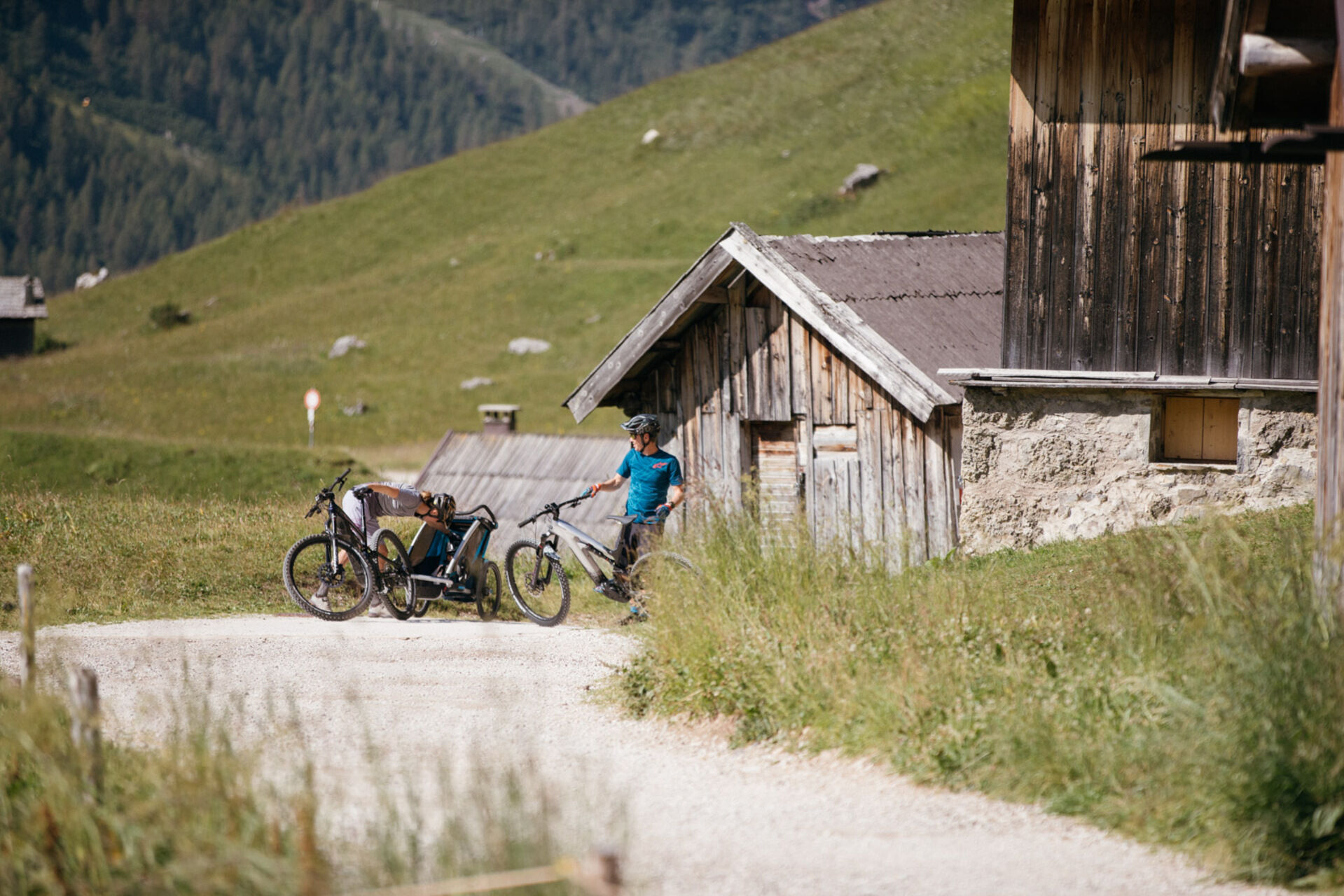
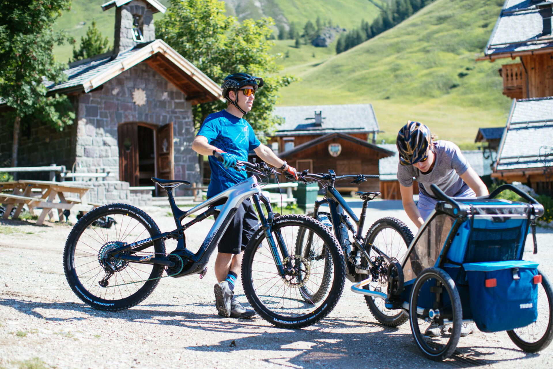
The path section Someda - Ronchi is highly used by pedestrians and agricultural vehicles. In Fango area you’ll find the sensory trail that crosses the forest road. Moderate your speed. The promenade to Fuciade in served, during the summer, by a horse-drawn carriage.
Bosch Ebike Power Station at the Fuciade Refuge.
Bosch Ebike Power Stations in Moena/San Pellegrino Pass: Fuciade Refuge; Col Margherita cable car valley station; Sport Navalge rental.
Kamery internetowe z trasy
Marmolada
Col Margherita
Col Margherita
Col Margherita
Le Cune
Le Cune
Le Cune
Le Cune
Le Cune
Le Cune
Falcade
Le Cune
Le Buse
Le Buse
Le Buse
Costabella
Costabella
Costabella
Costabella
Costabella
Arrivo funivia col Margherita
Lago Cavia
Seggiovia Lago cavia Col Margherita
Col Margherita
Col Margherita
Col Margherita
Col Margherita
Le Cune
Castelir
Castelir
Castelir
Castelir
Castelir
Castelir
Moena - San Pellegrino Pass / Chalet Isabella
Col Margherita Sud
Col Margherita Sud
Col Margherita Sud
Popularne wycieczki w okolicy
- 4,8
Santnerpass Klettersteig
średniVia ferrata 8,29 km - 5,0
Langkofel Klettersteig/Ferrata Furcela de Saslonch
ciężkiVia ferrata 7,07 km - 4,9
Torre di Pisa mountain hut
średniWędrówka 9,09 km - 5,0
Ciampedie - Gardeccia - Refuges Vajolet and Preuss - Refuge Re Alberto I - Gardeccia - Ciampedie
ciężkiWędrówka 11,8 km - 4,7
Passo Costalunga - Sella del Ciampaz
średniWędrówka 8,35 km - 5,0
Ciampedie - Gardeccia - Principe Pass - Antermoia Refuge - Val Duron - Campitello
ciężkiWędrówka 18,7 km - 5,0
Via Ferrata "Cesare Piazzetta"
ciężkiVia ferrata 9,07 km - 4,7
Stage 1 Dolomiti Trek King in autumn - Catinaccio
ciężkiWędrówka 15,3 km - 4,0
Viel dal pan
światłoWędrówka 6,60 km - 4,5
Kölner Hütte - Hirzelsteig - Rotwandhütte - Baita Tre - Karerpass
średniWędrówka 9,56 km
Wędrówki i tropienie


Nie przegap ofert i inspiracji na następne wakacje
Twój adres e-mail została dodana do listy mailingowej.