


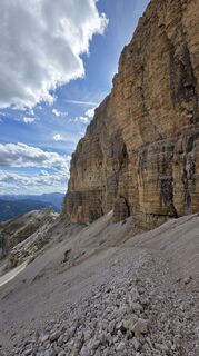
Via Ferrata "Cesare Piazzetta"
Poziom trudności: D

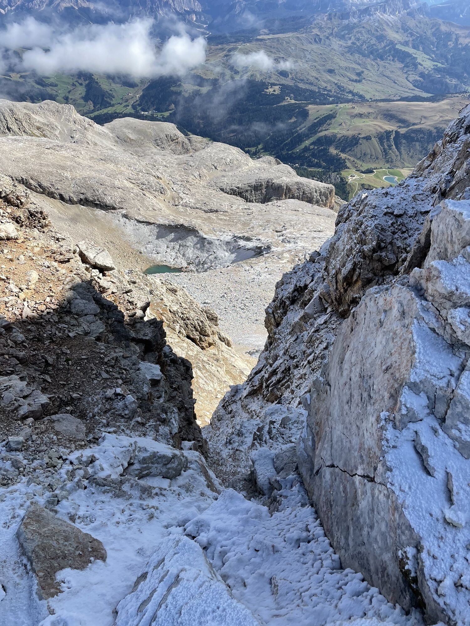
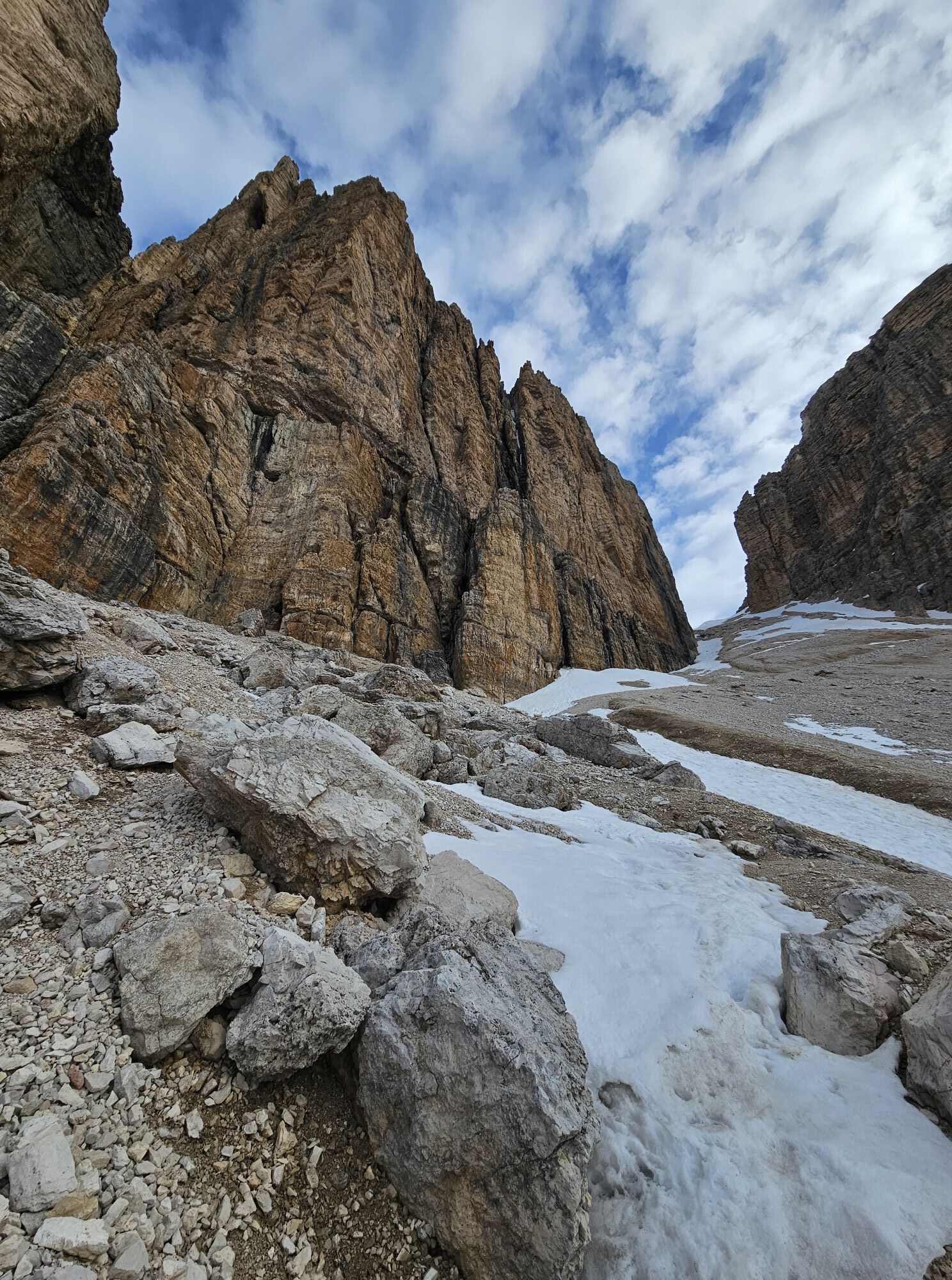


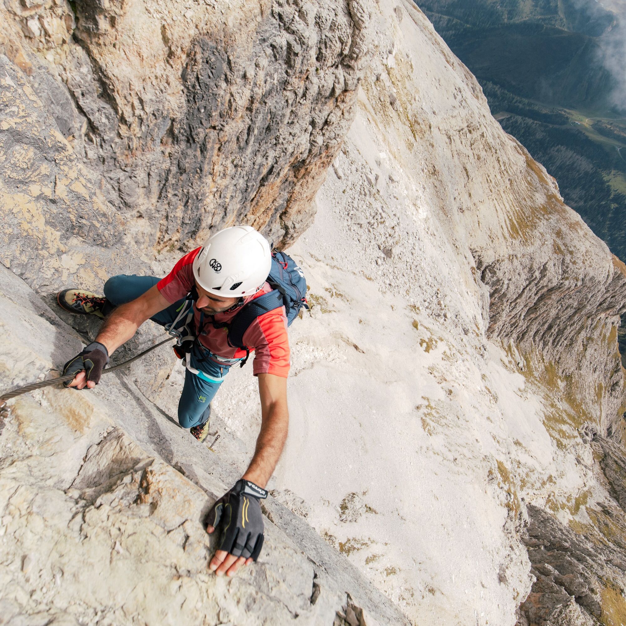
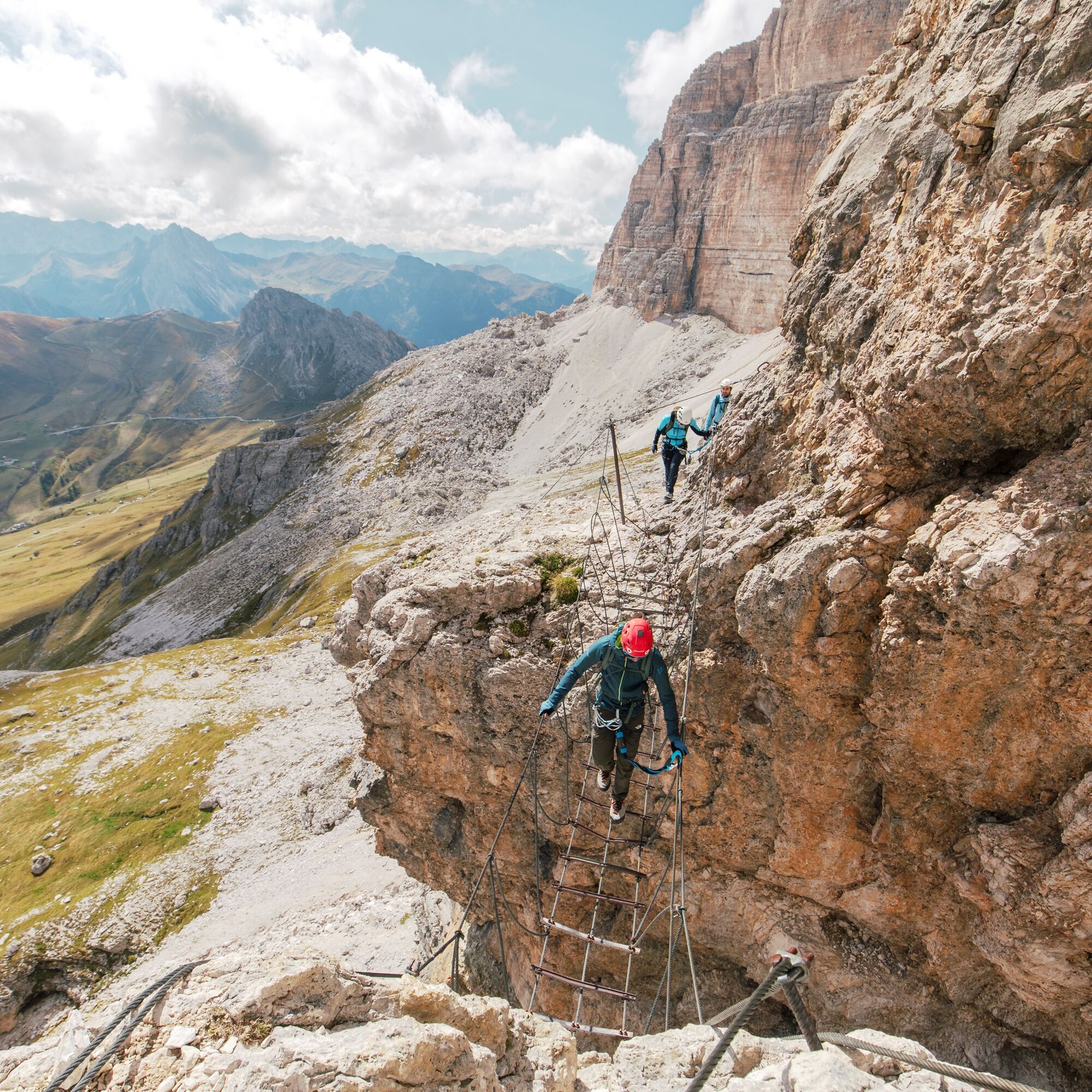
The Ferrata 'Cesare Piazzetta' has a difficulty level of 4.4 and is considered difficult. The first few metres are a bit challenging and then the route gradually becomes easier.
The name says it all: on...
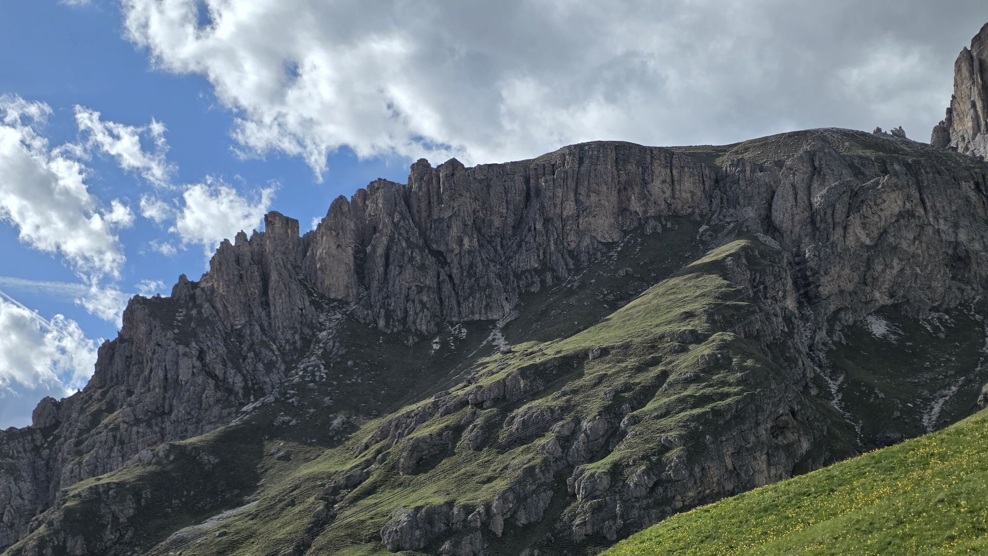
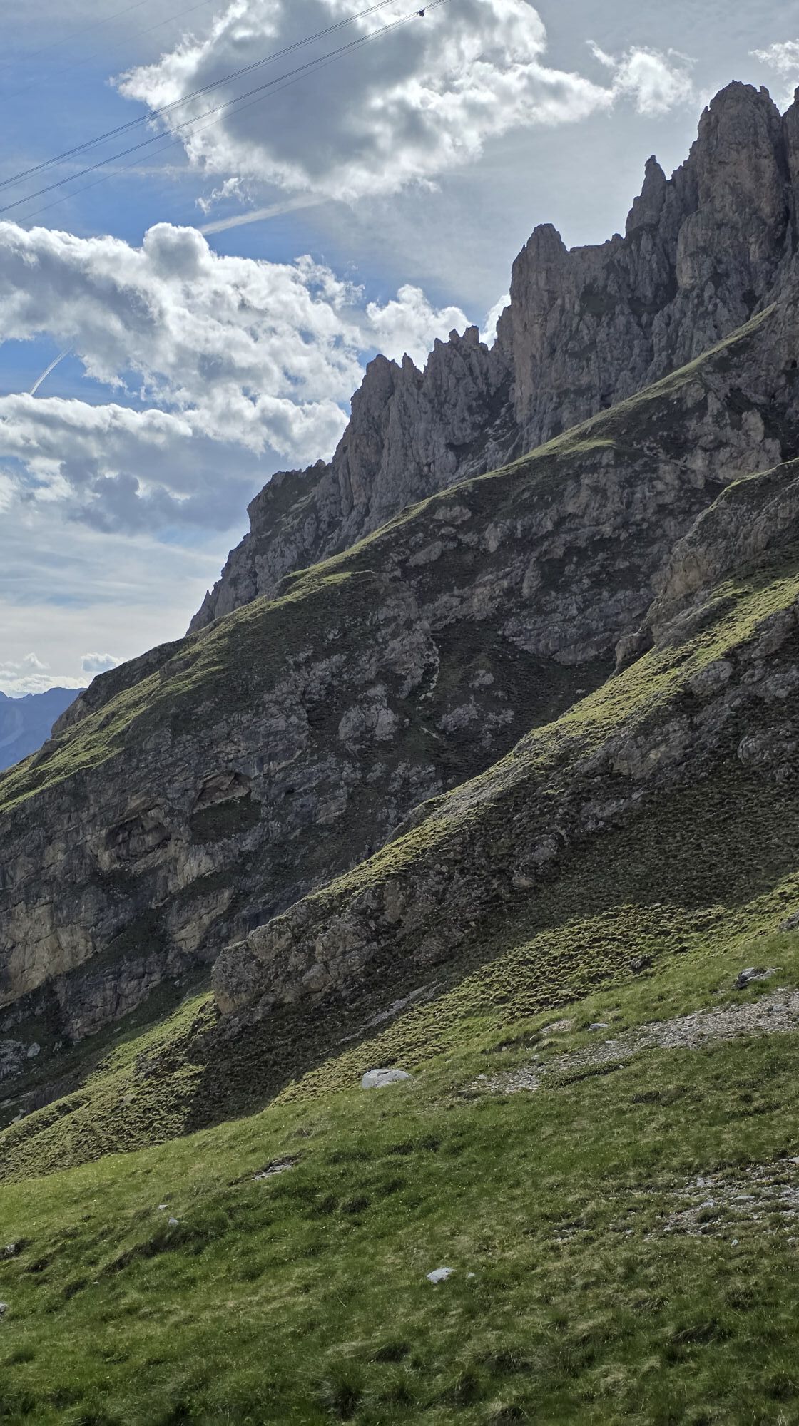
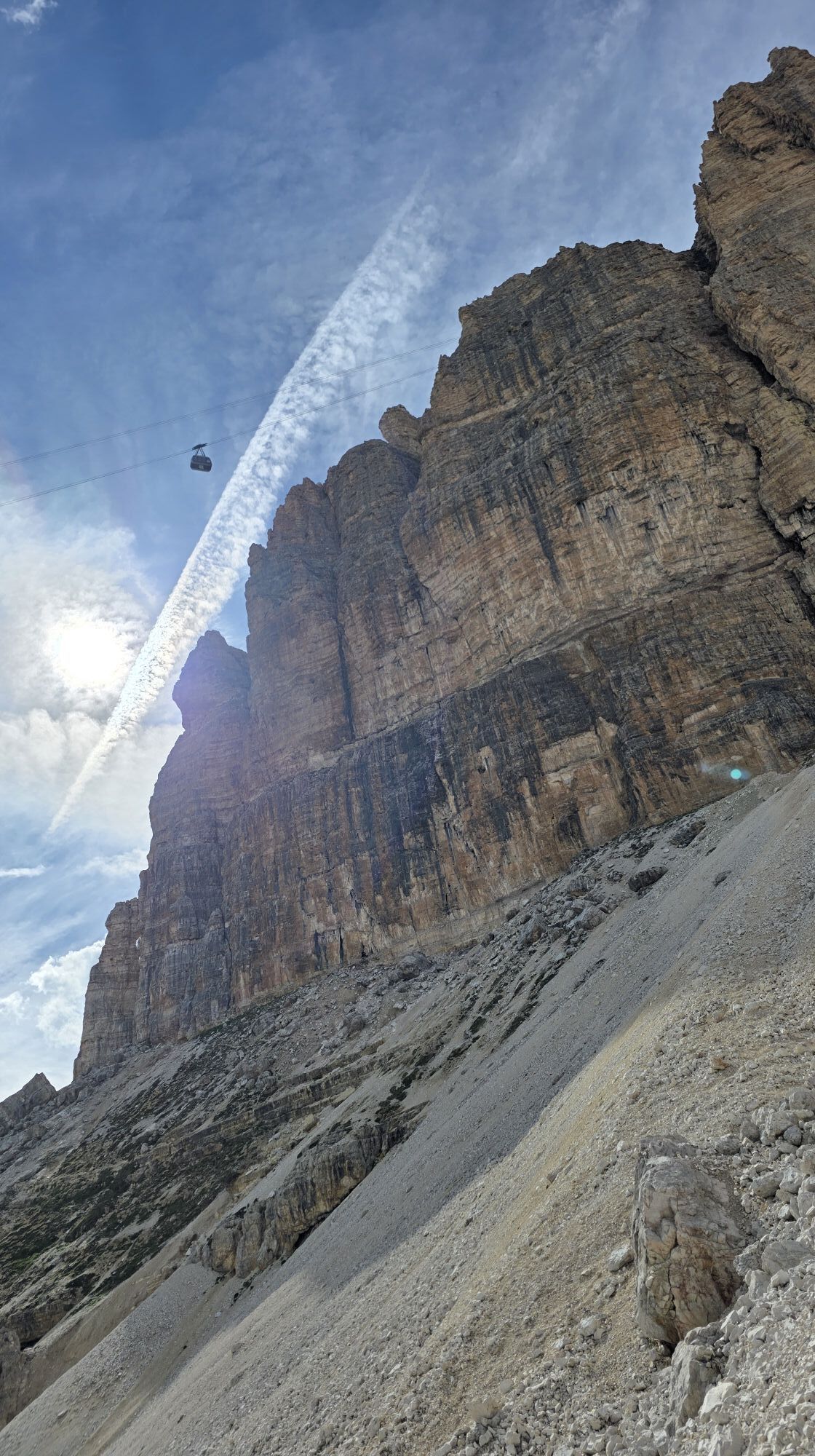
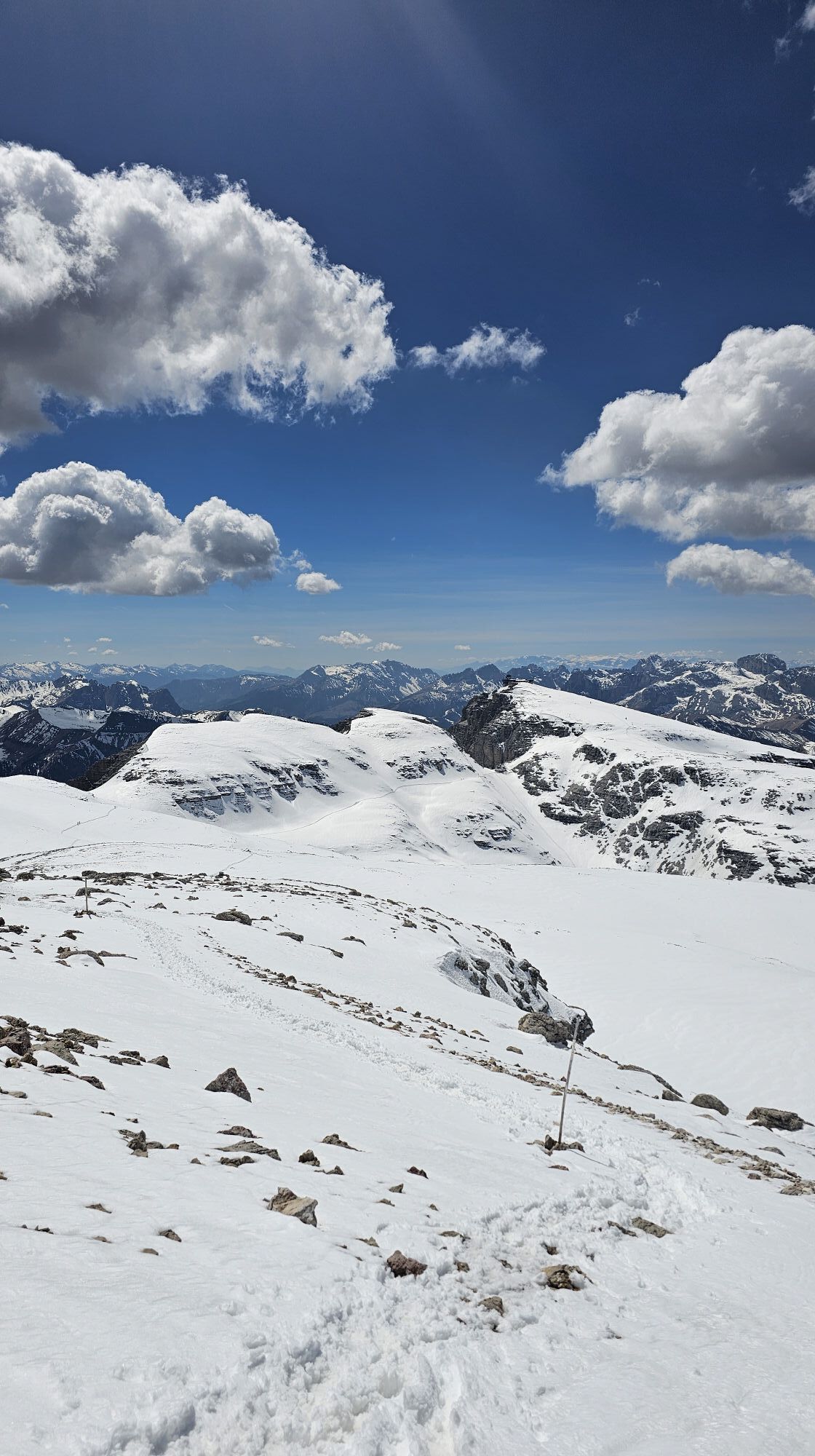
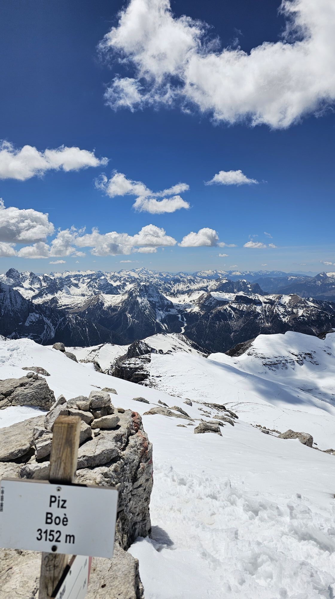
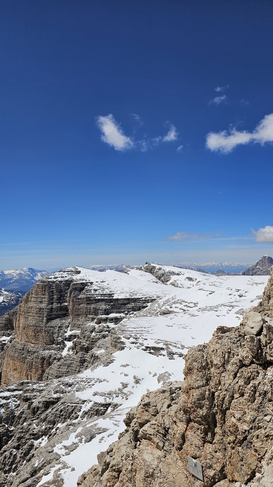
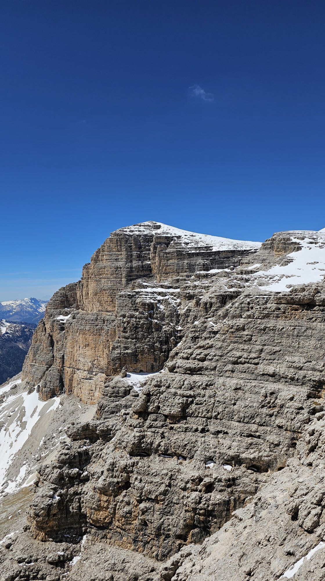
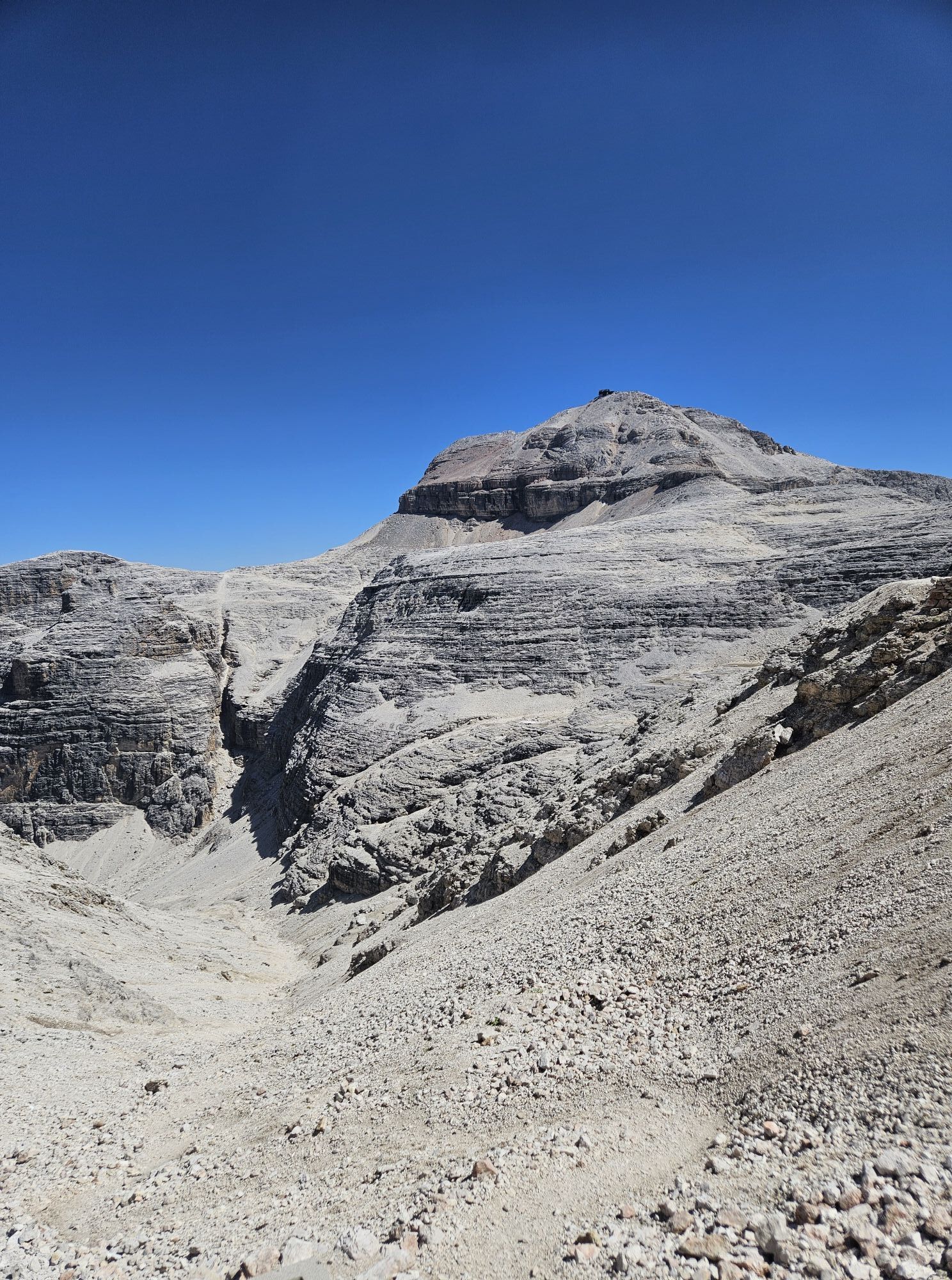
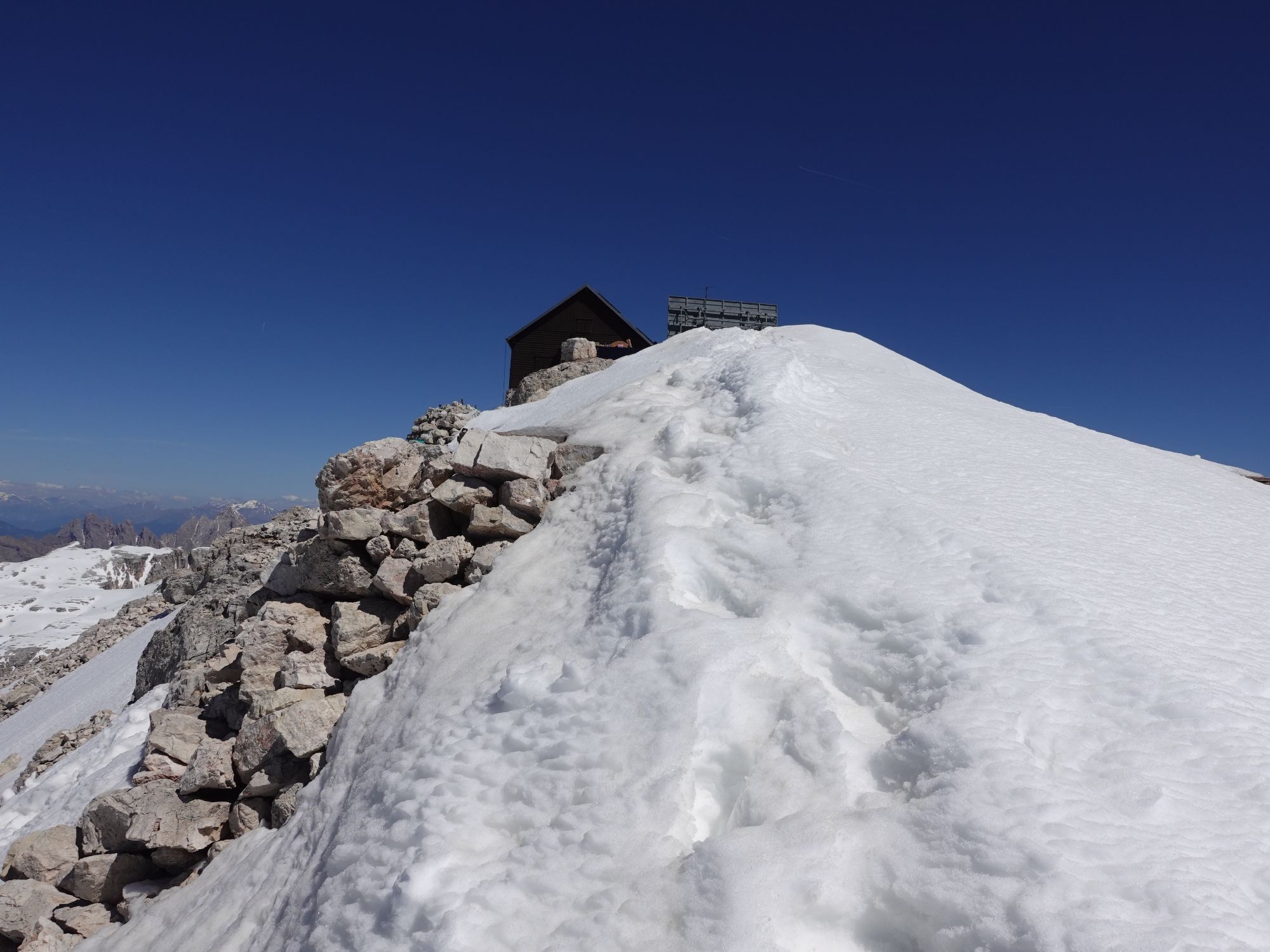
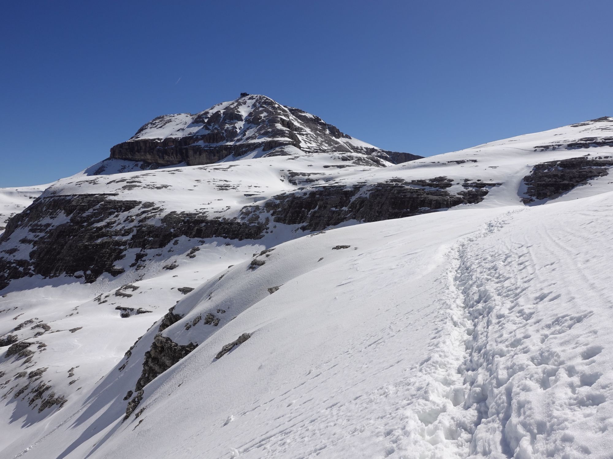
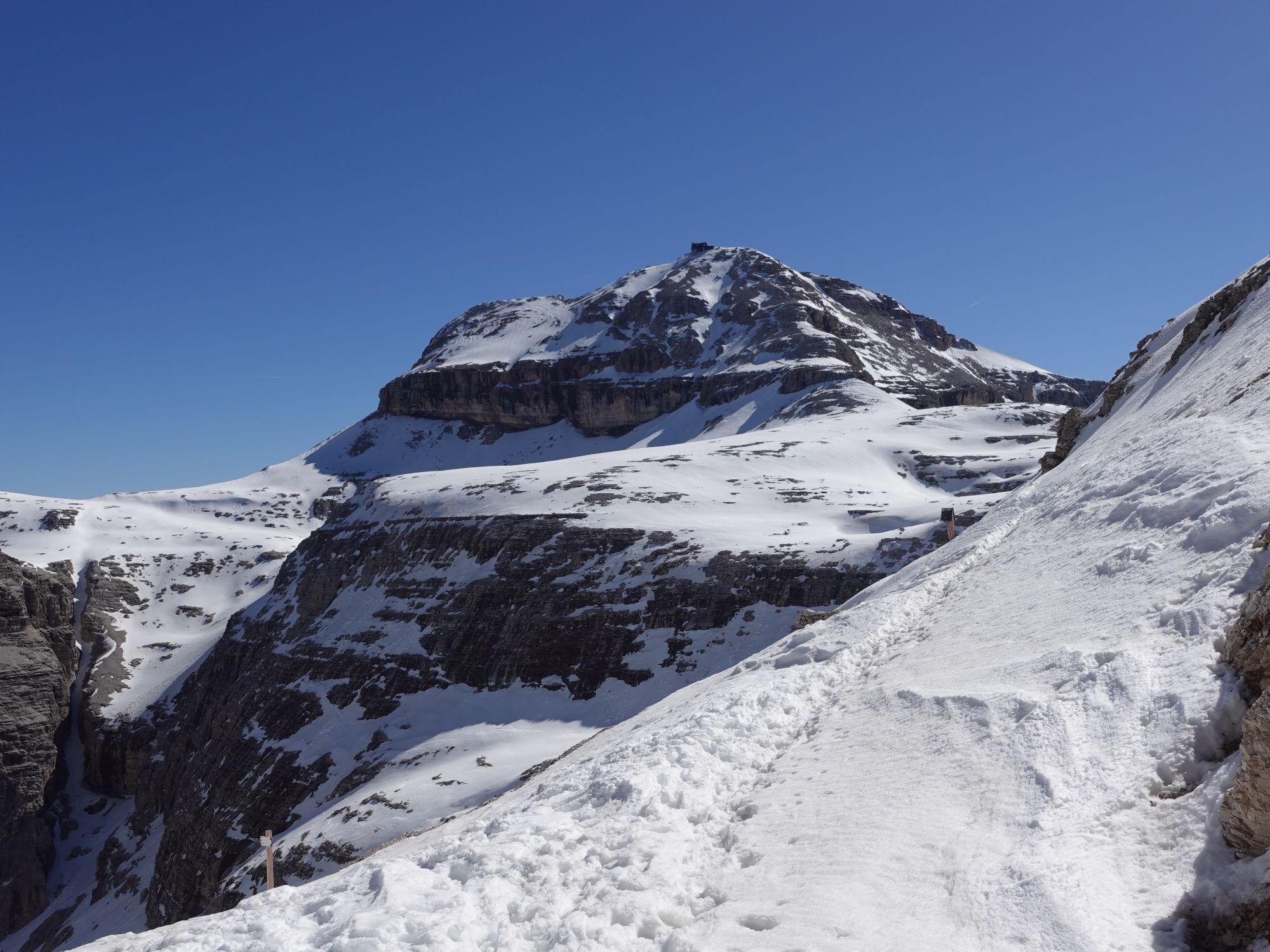
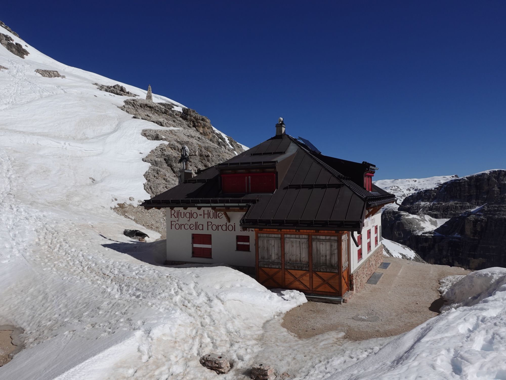
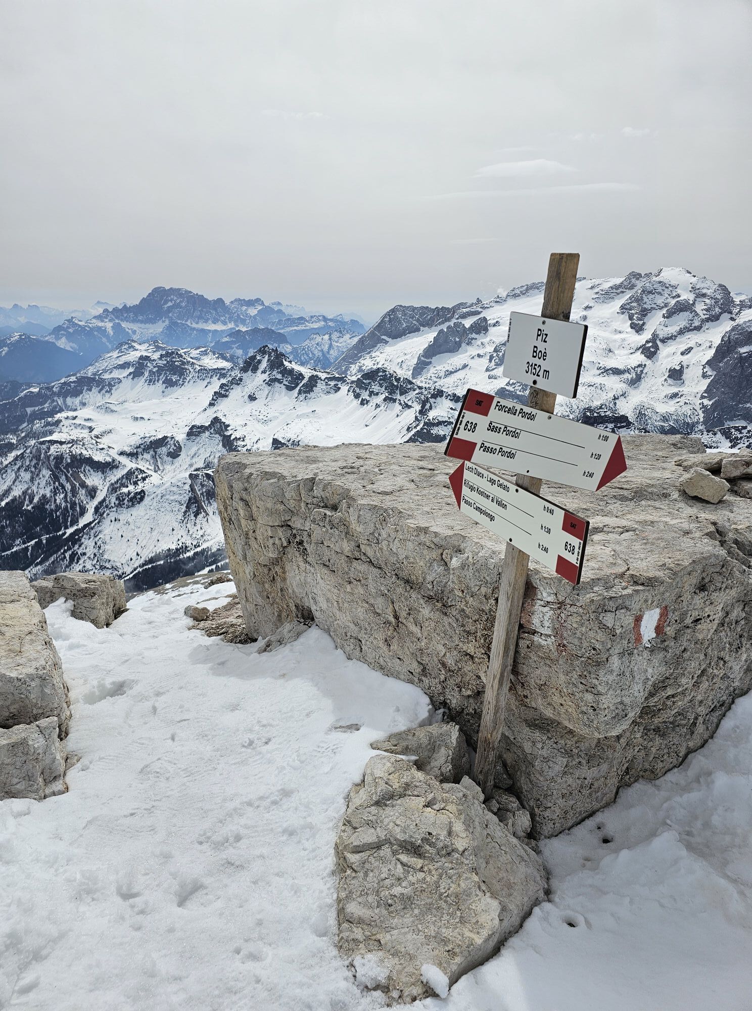
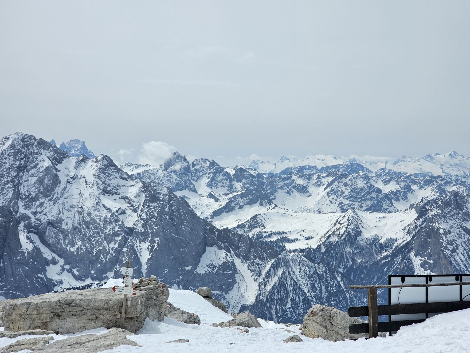
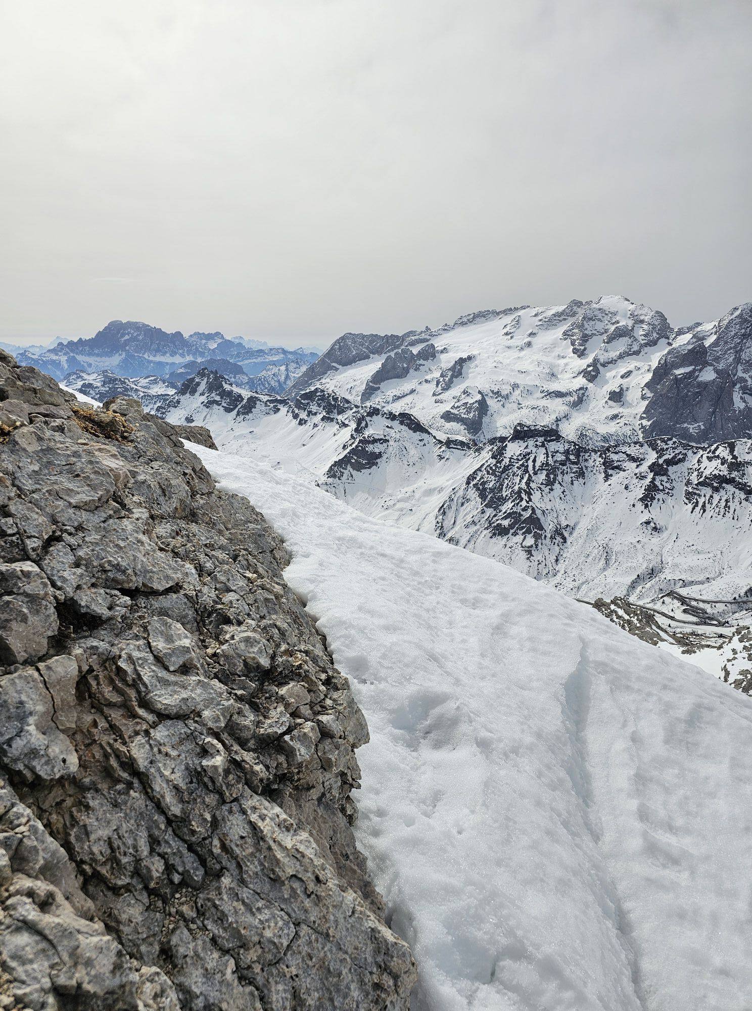
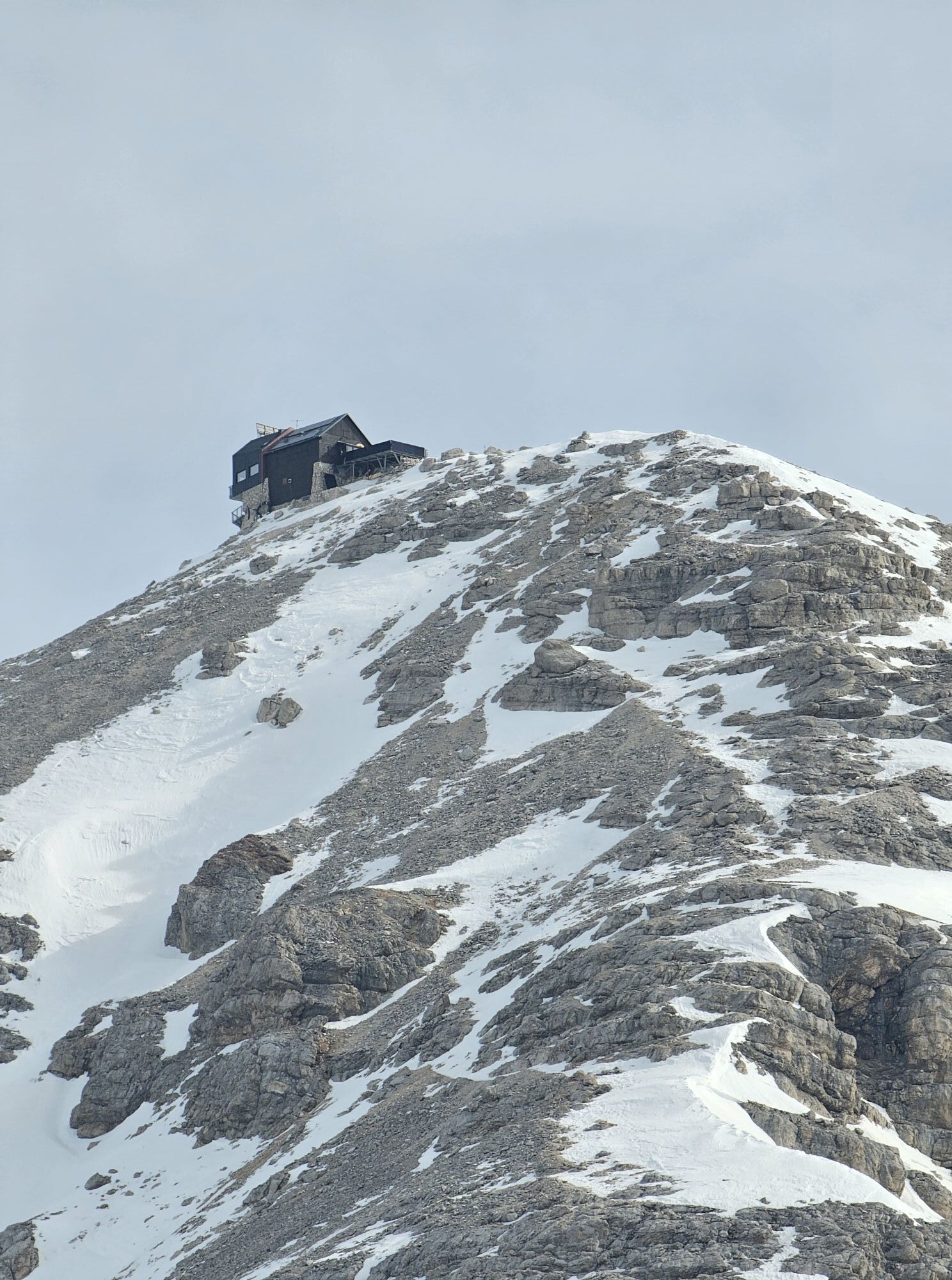
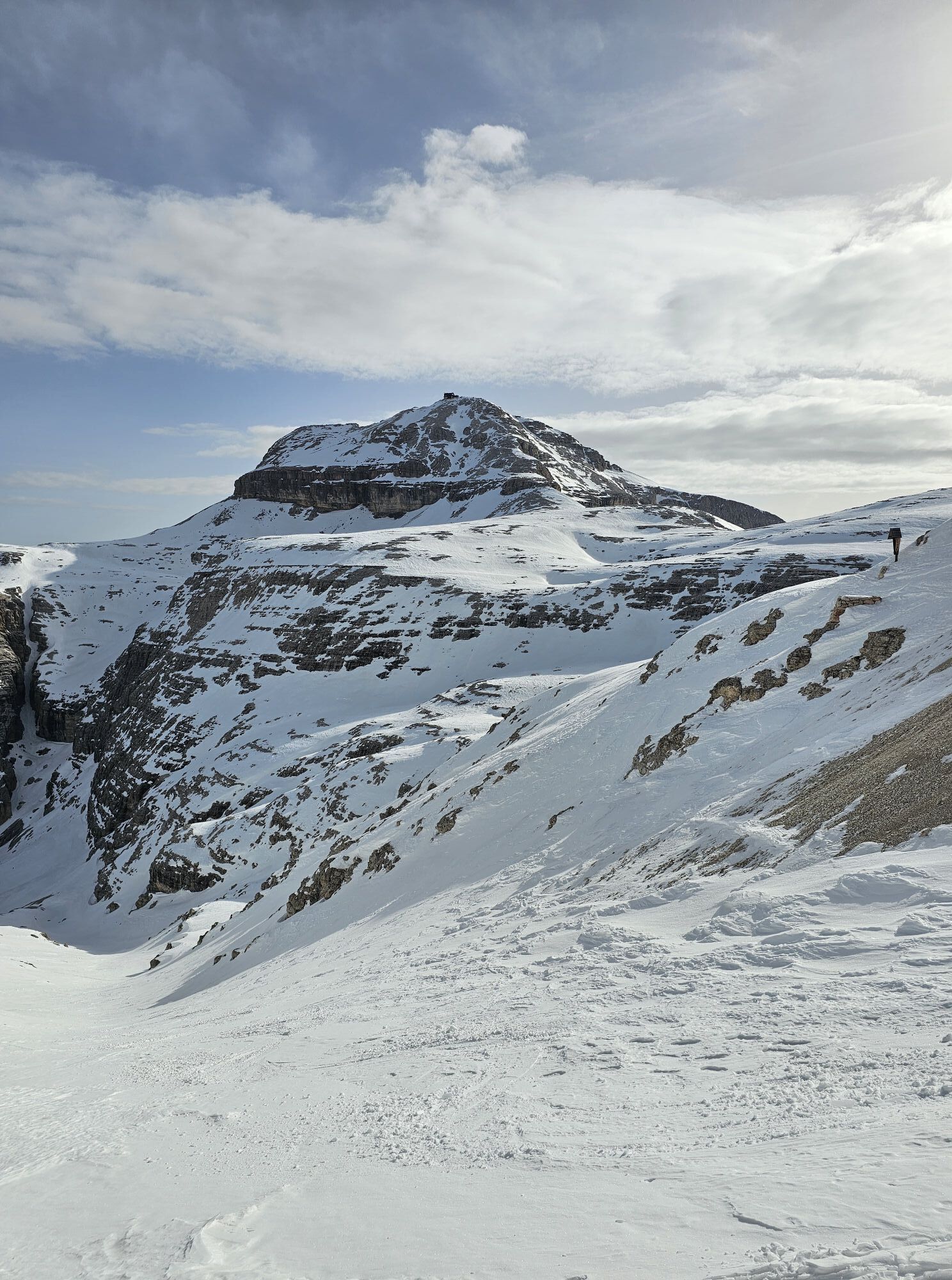
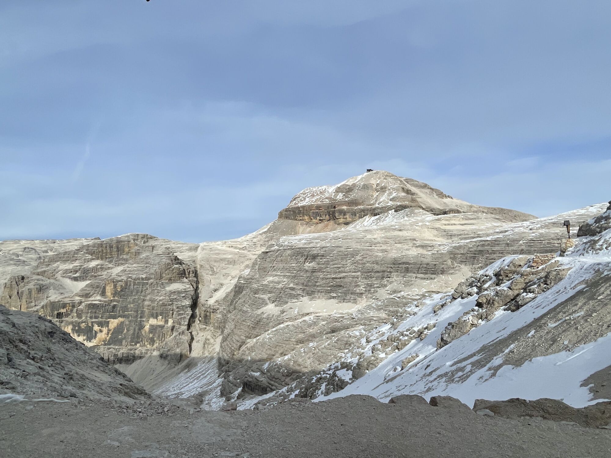
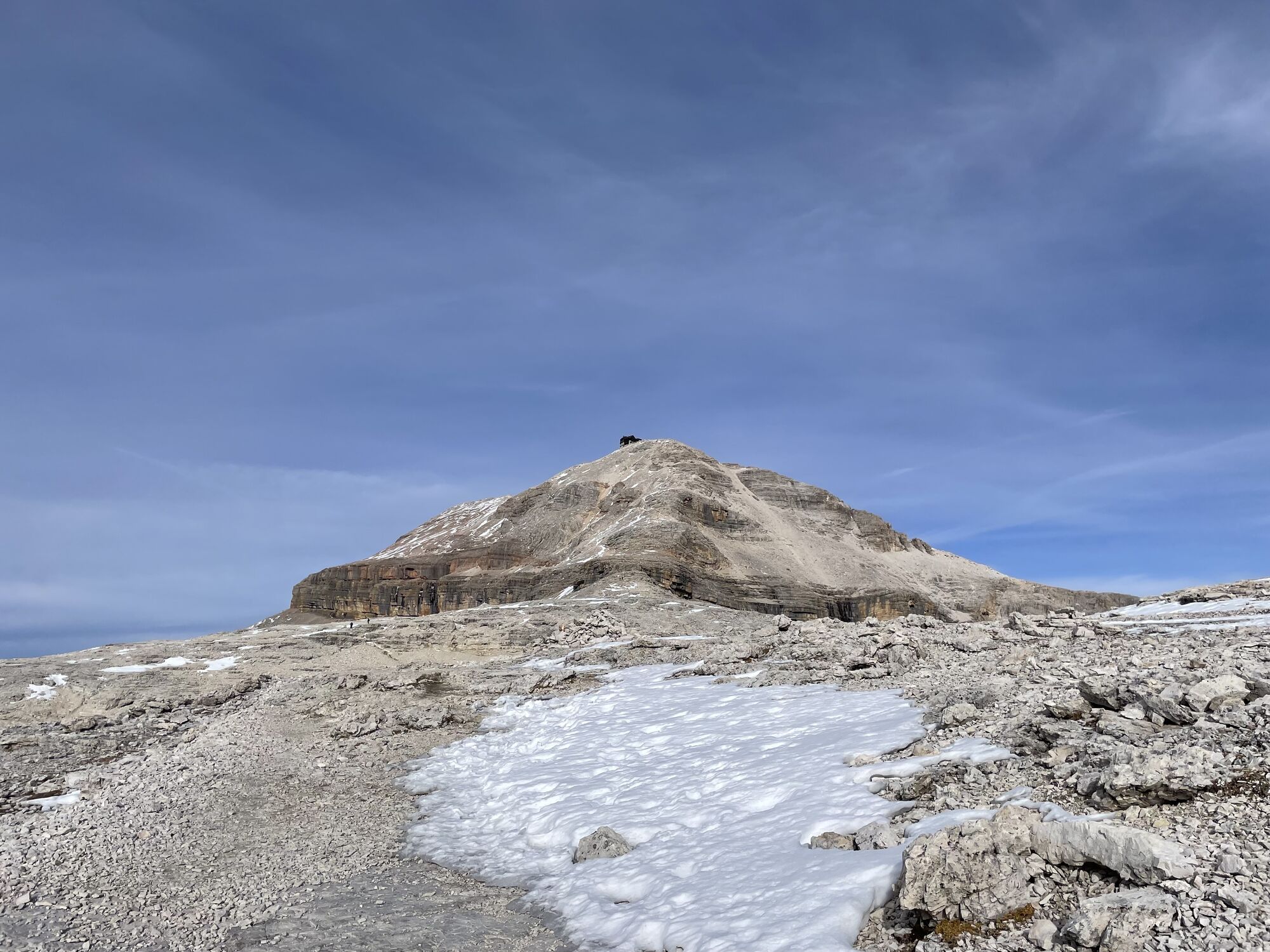
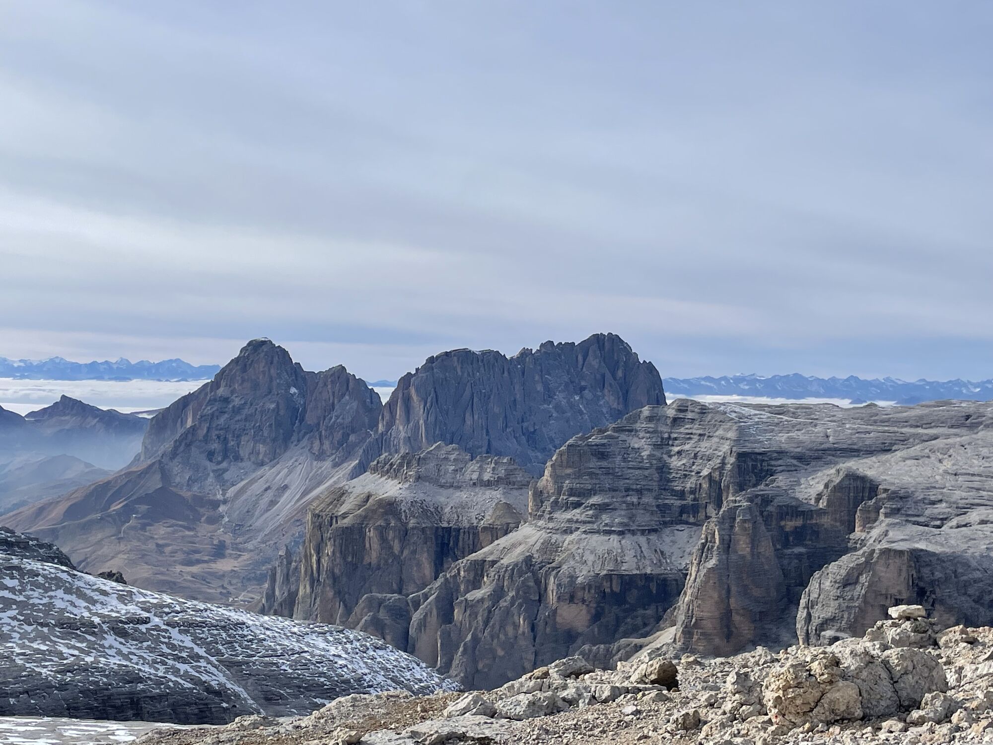
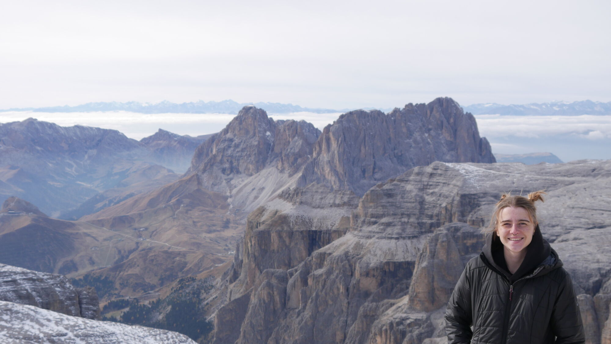
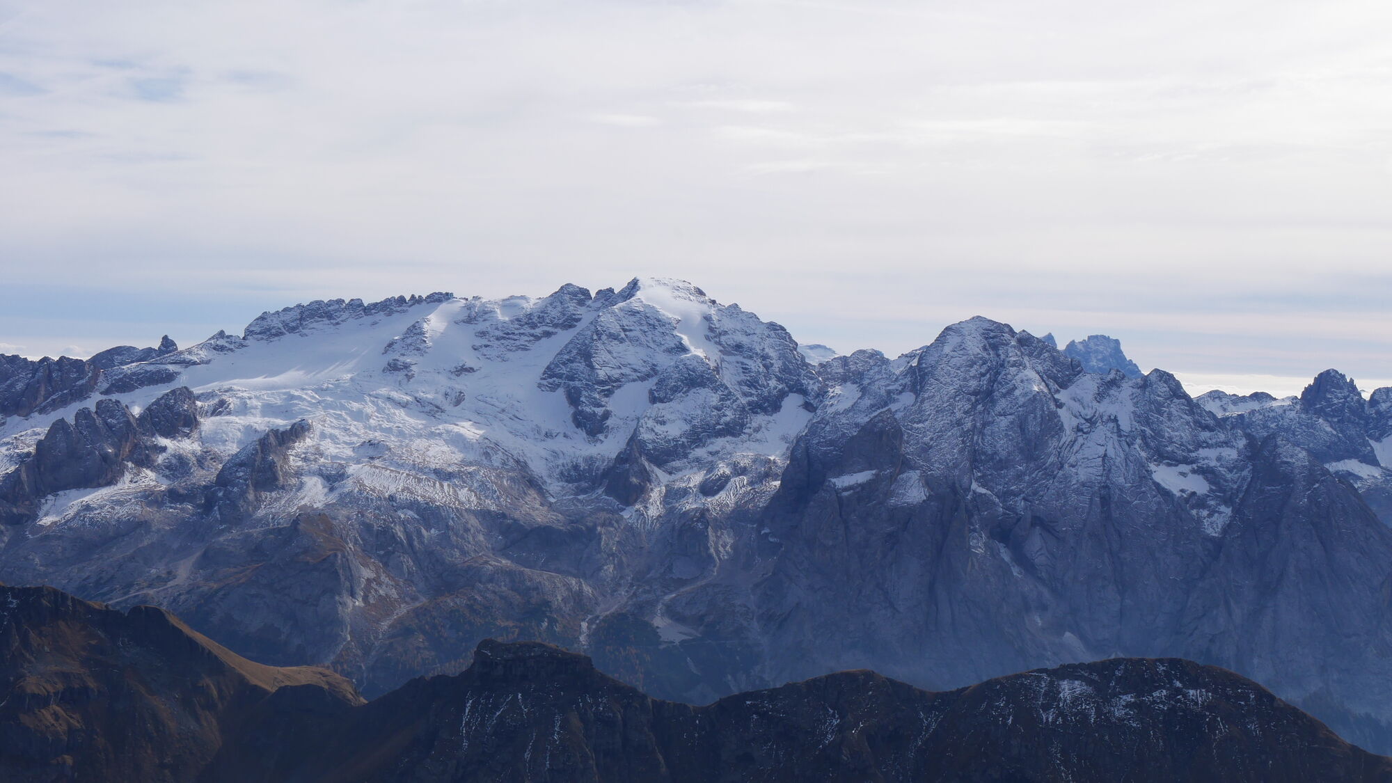
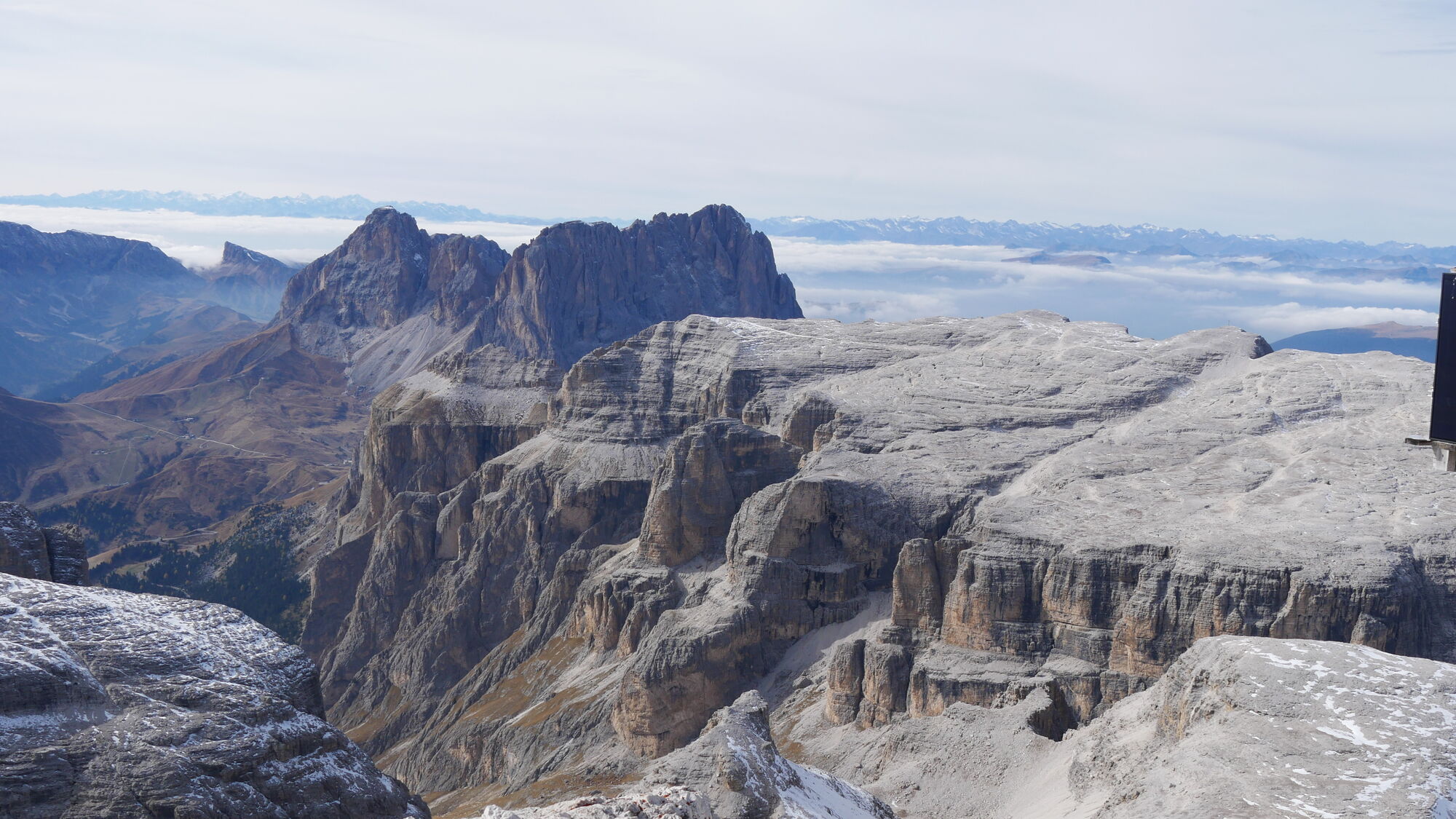
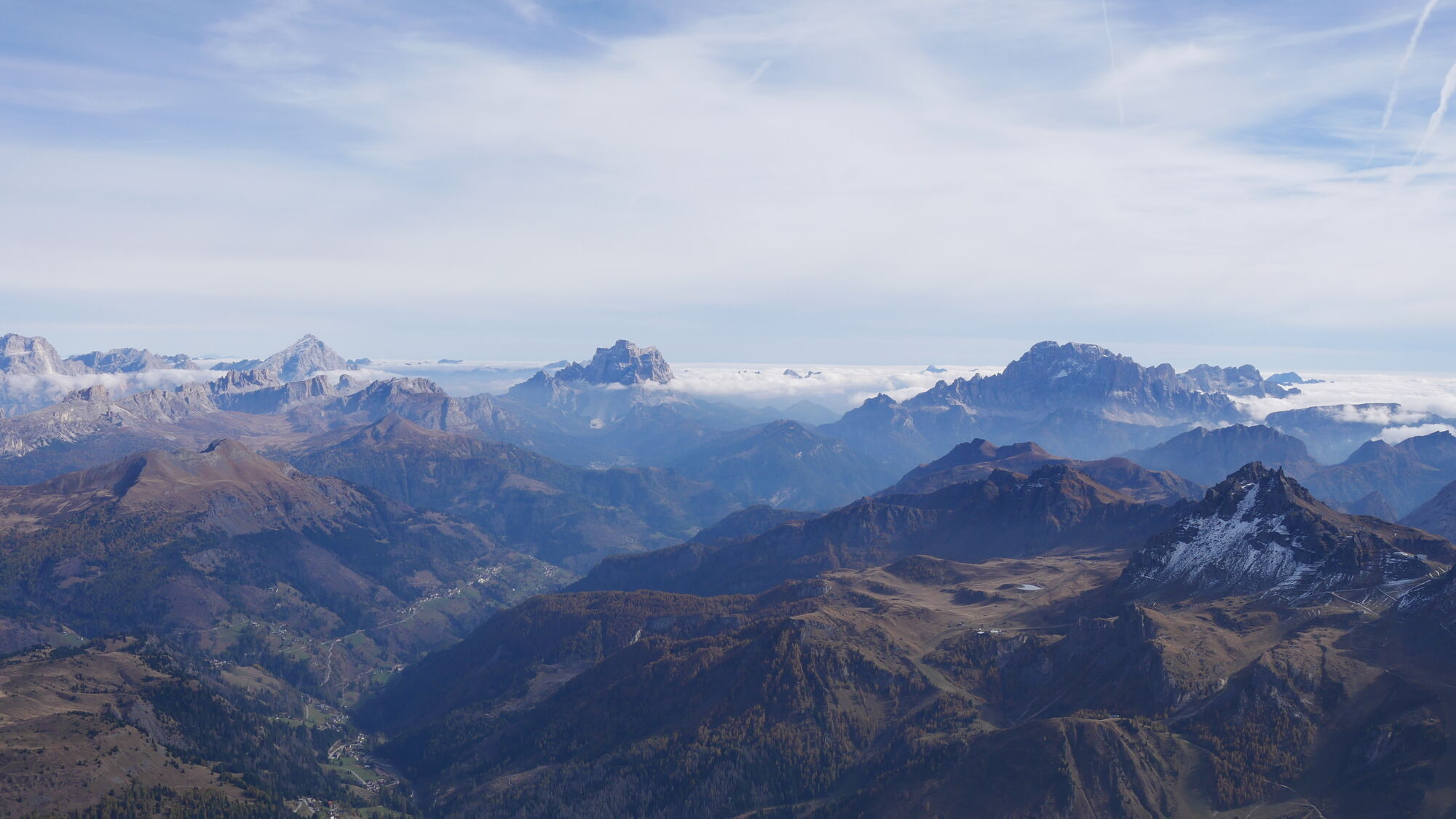
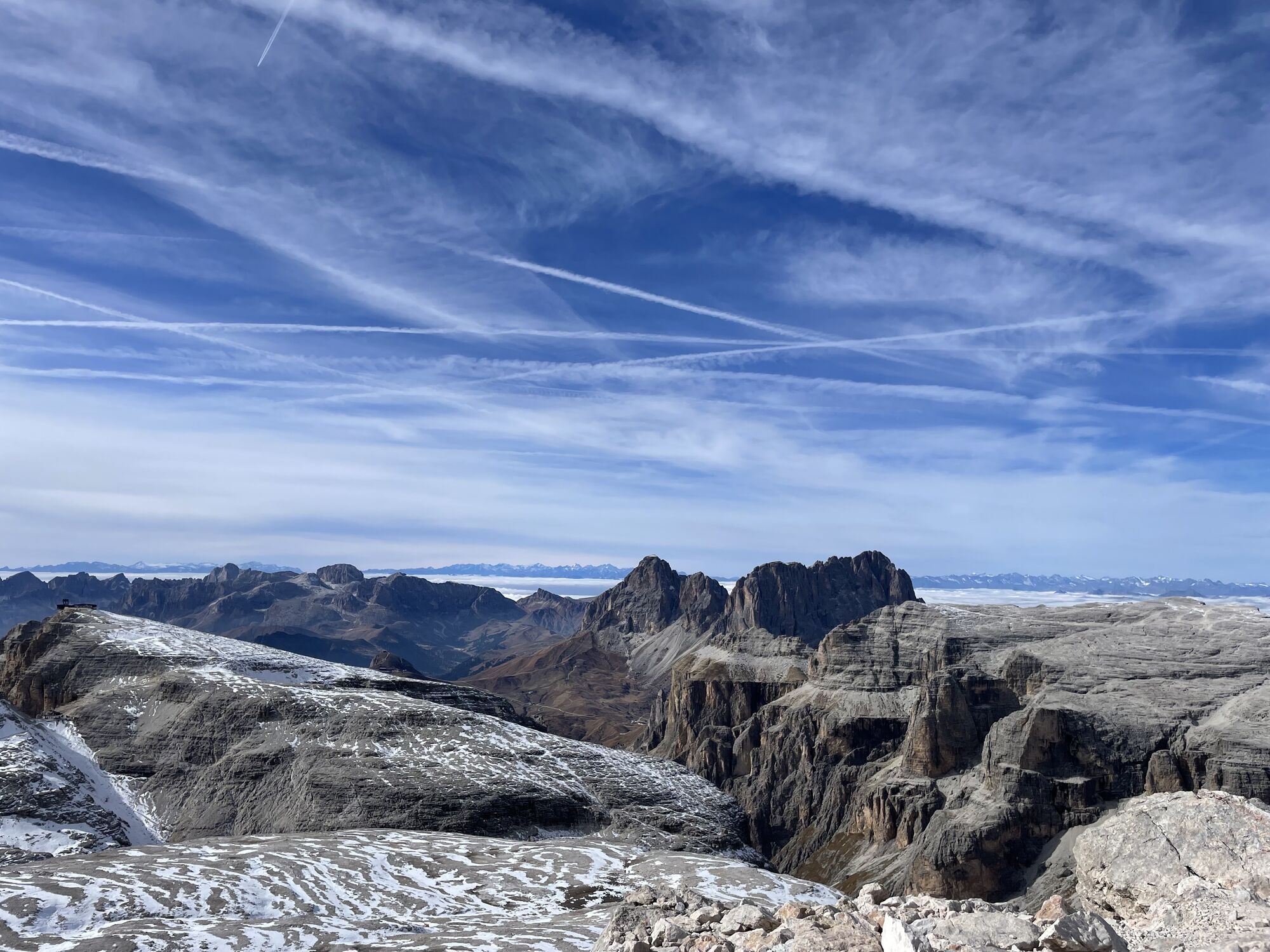
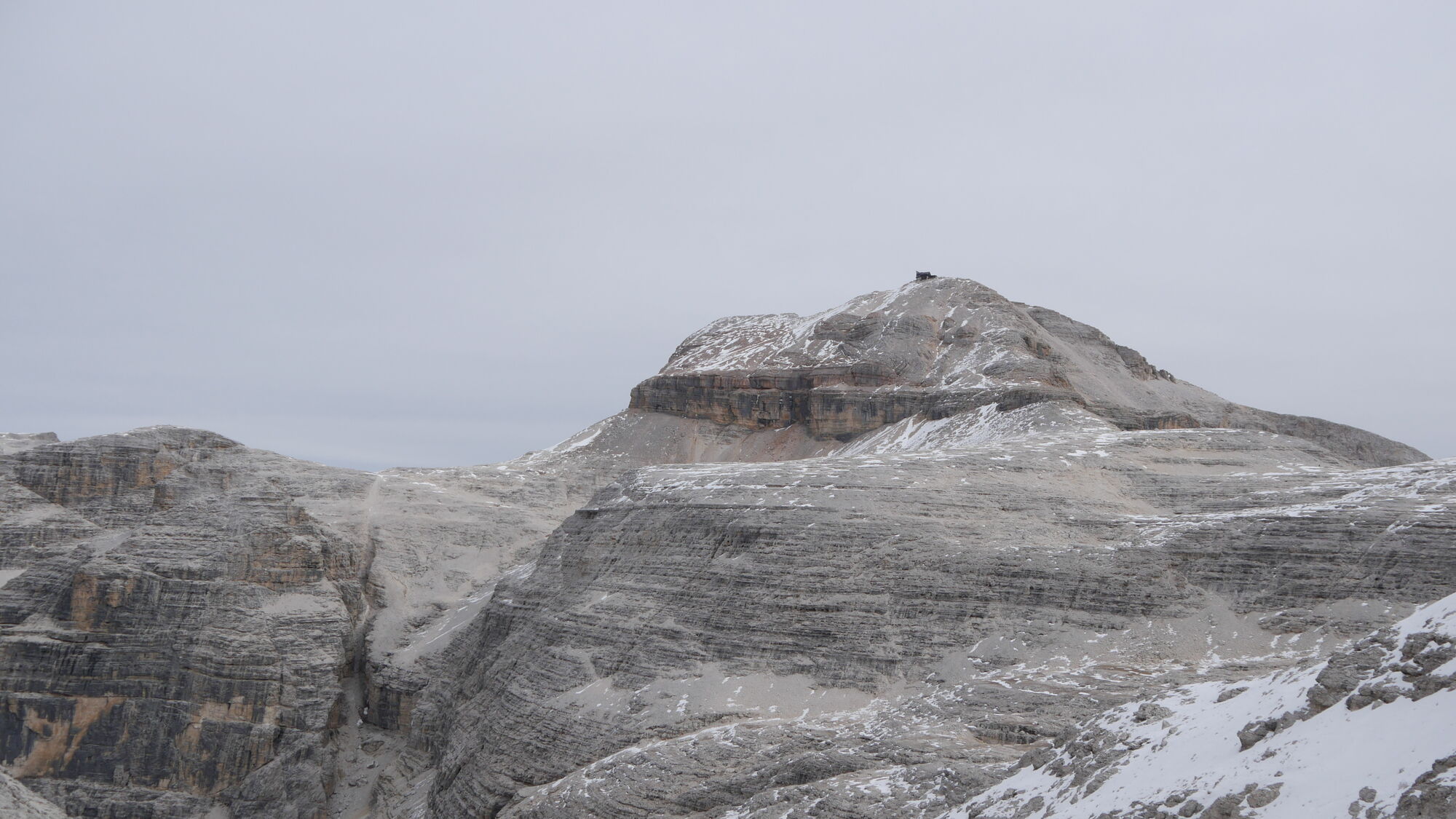
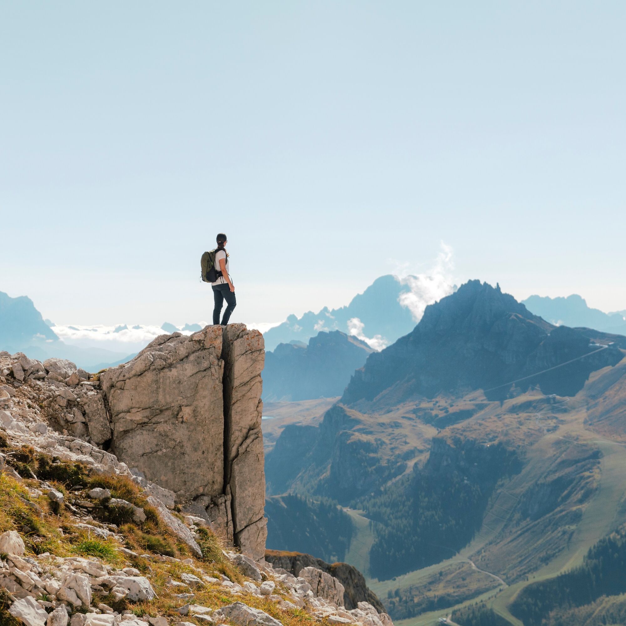
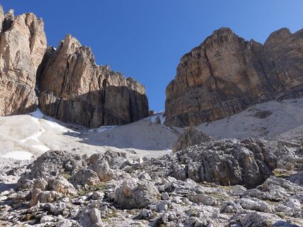
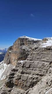
The name says it all: on the way up, there are several open spaces where you can take a break and enjoy the 360° panorama. The goal is to reach the summit of the "Piz Boè", 3,152 m.
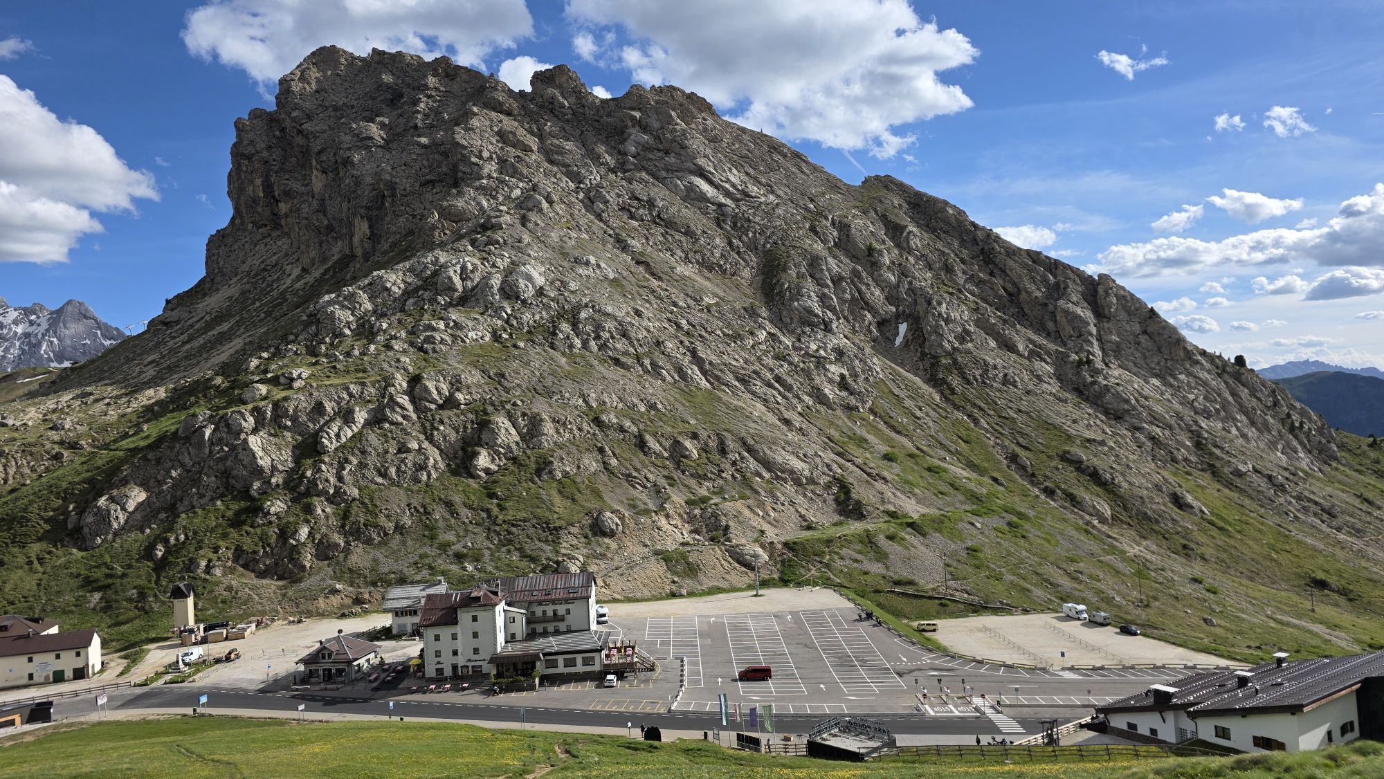
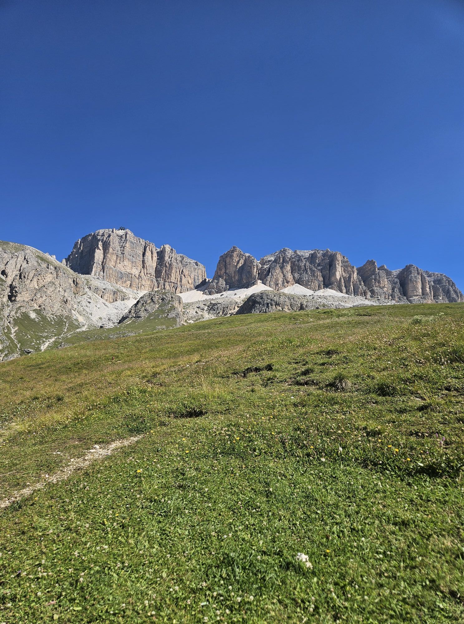
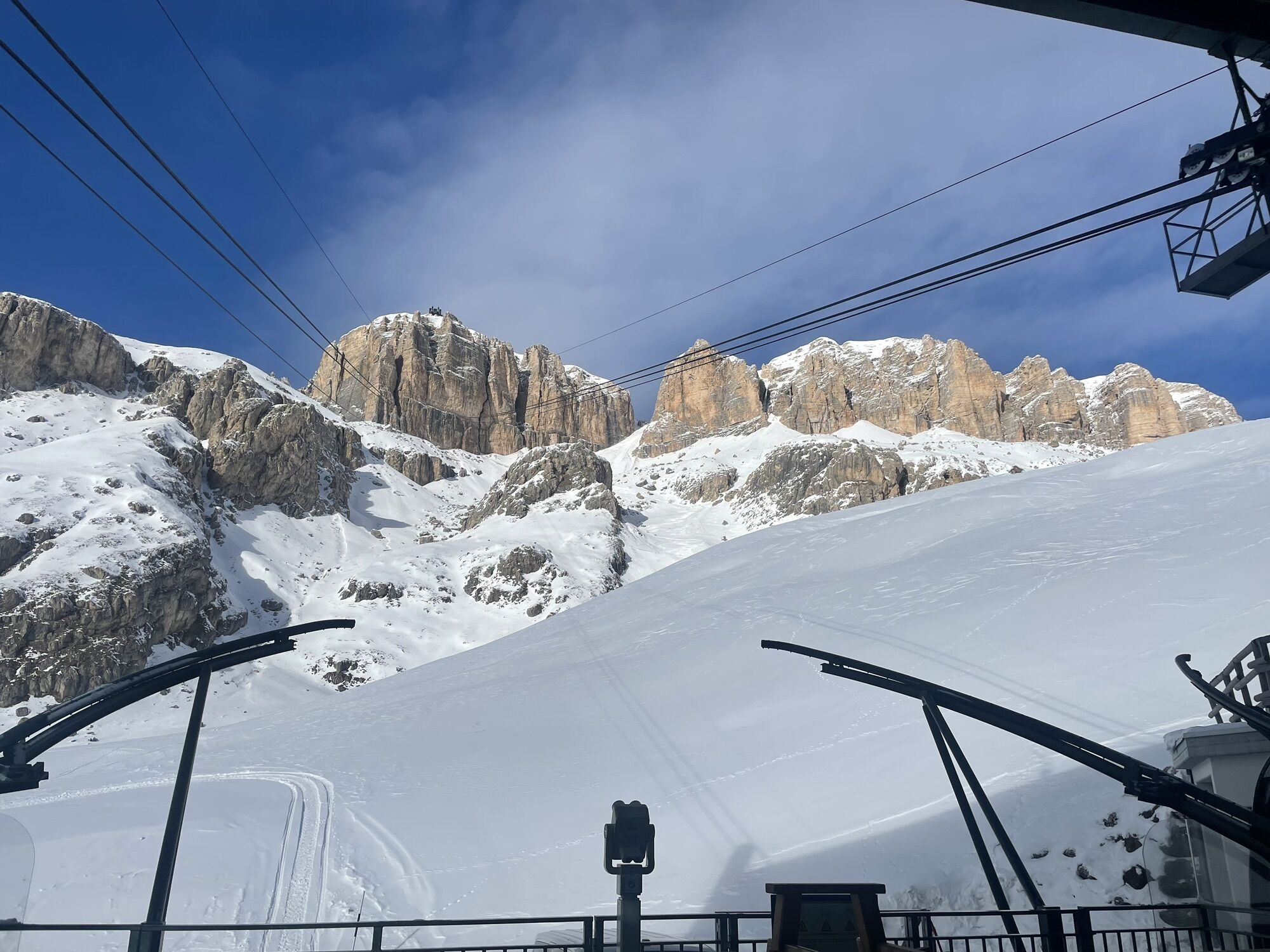
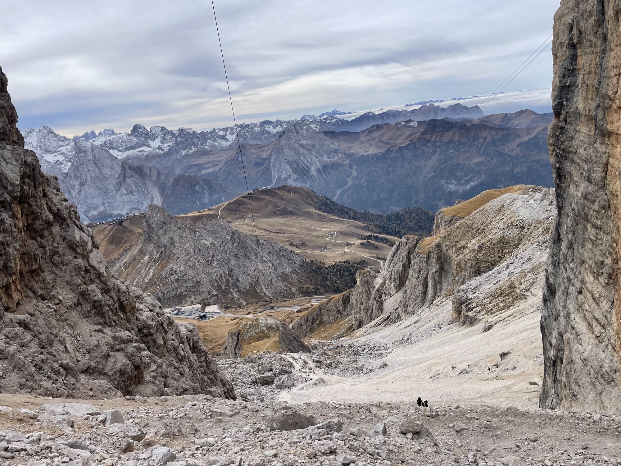
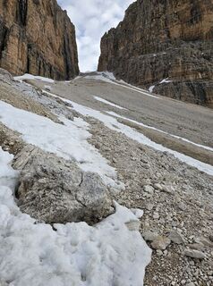
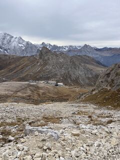
The starting point is the "Pordoi" Pass, precisely from the Ossuary, from here you take path no. 626B and then continue to the right following path no. 626 (1h and 15 minutes to reach the attack of the ferrata).
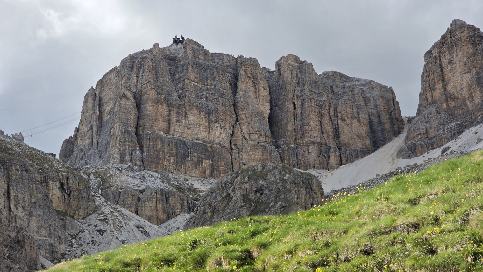
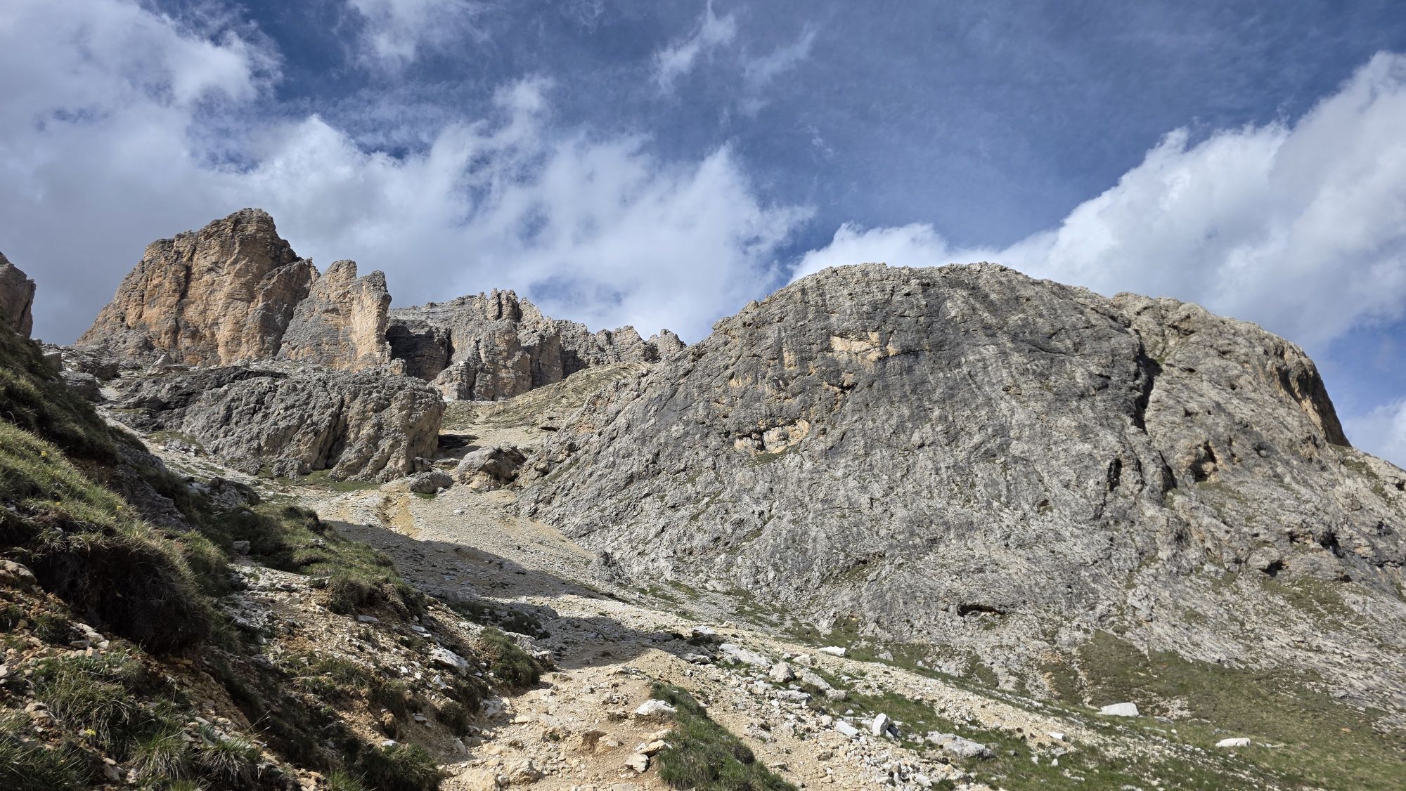
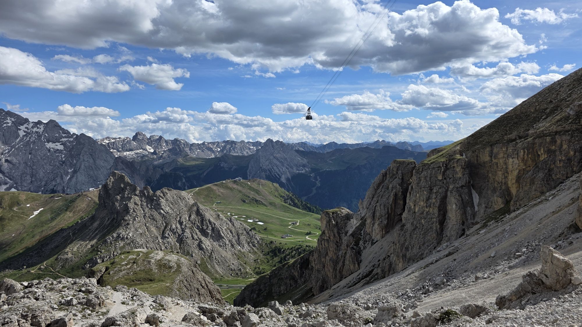
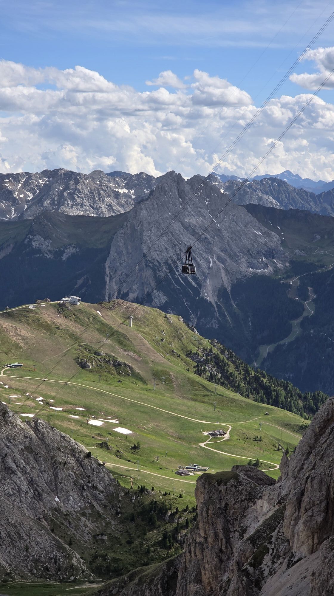
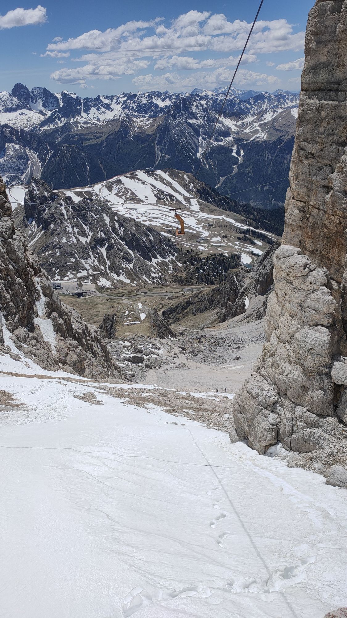
From the end of the ferrata to reach the "Piz Boè" you will have to walk for another hour or so. Return along path no. 638 and 627 in the direction of "Sass Pordoi" and then take the "Sass Pordoi" cable car again.


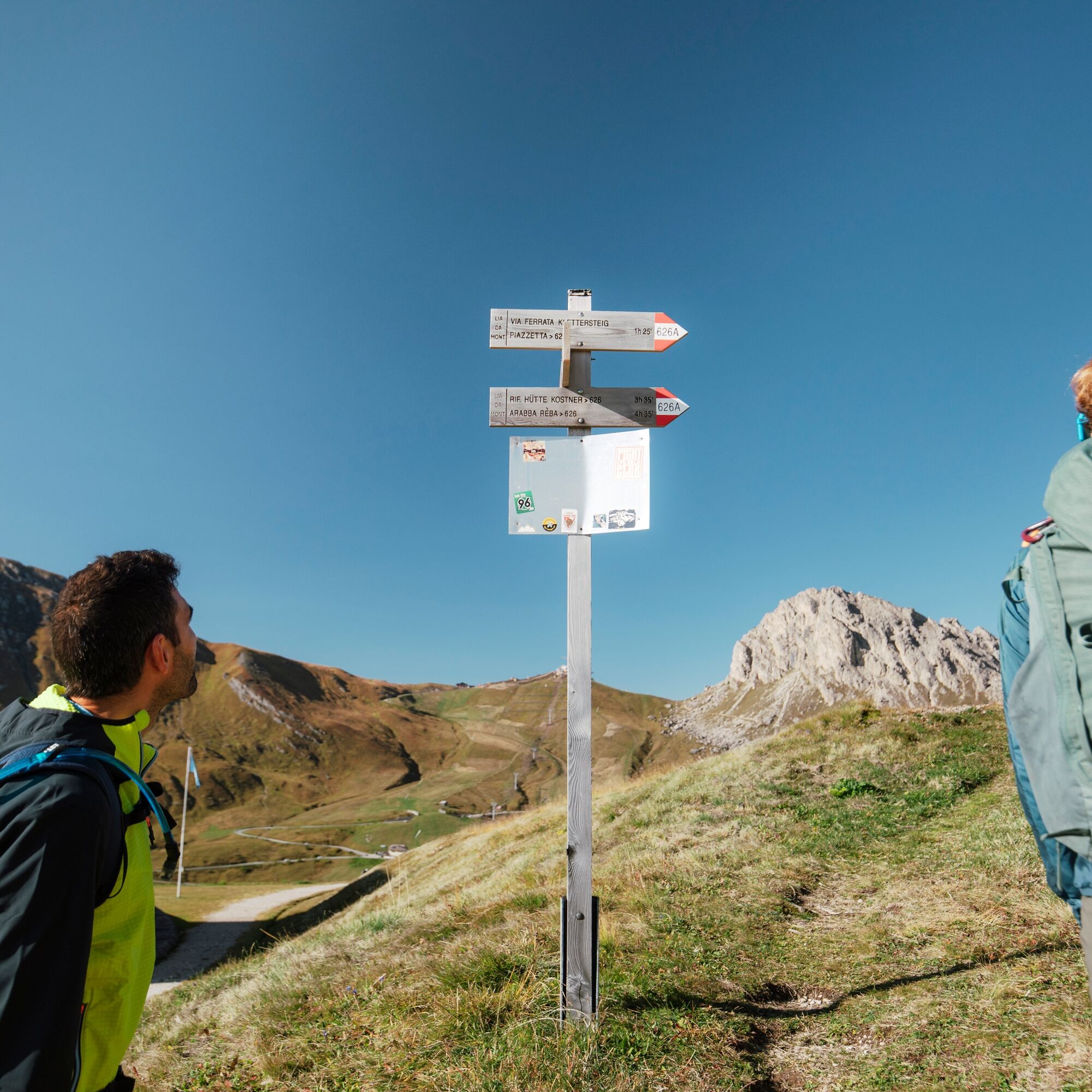
From the "Pordoi" Pass' ossuary, take path 626 B to the start of the ferrata.
Tak
Tak
Tak
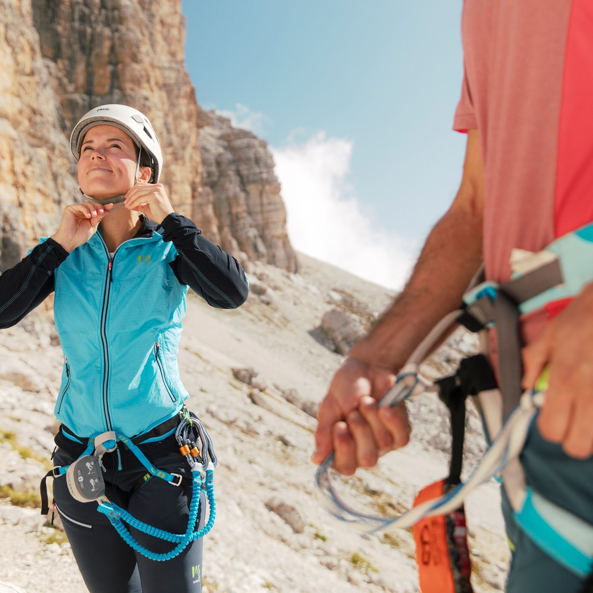
The via ferrata kit:
comfortable boot that adapts to the shape of the foot with carved rubber sole to prevent slipping
long trousers
breathable t-shirt
substitute T-shirt (preferably breathable)
sweatshirt or pile
windproof and rainproof jacket
breathable socks
waist - adjustable climbing harness
via ferrata set with ergonomic coretec carabiners and abrasion-resistant elasticated webbing lanyards
climbing helmet (to be worn when approaching the via ferrata's strarting point to avoid falling rocks)
via ferrata gloves
waterproof backpack or backpack with waterproof cover
sun cream
anti-glare glasses
emergency rope (ability required)
Always let someone know where you are going and the approximate duration of the hike and avoid going alone.
The telephone number in case of emergency is 112 or 118 (ambulance).
By train
Nearest railway stations
Belluno - 70 km Brunico - 48 km Ponte Gardena - 51 kmBy bus
Brunico - 47 Km connection by SAD line www.sad.it Belluno - 70 km - connected by the Dolomitibus www.dolomitibus.itBy plane
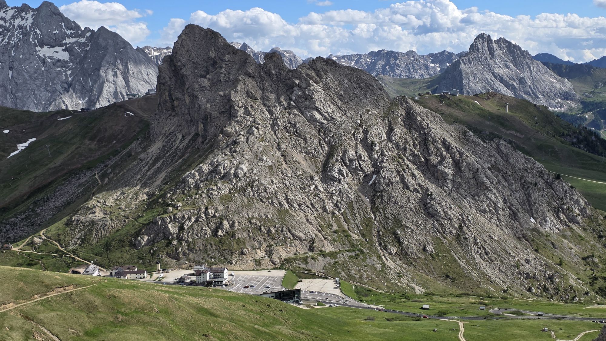
Venice Treviso/Venice Marco Polo - 160/170 km Innsbruck - 140 km Verona - 270 km Milan Bergamo/Milan Malpensa - 310/400 kmAt the top of the "Pordoi" Pass there are ample places to park.
D
- Francesco Tremolada https://www.proguide.it/
- Filippo Beccari https://www.arabba.it/it/arabba/filippo-beccari-guida-alpina/20-72173.html
Before the start, it is reccomended to get informed about the weather, which changes rapidly in the mountains, and the conditions of the route.
"The vademecum of the sustainable hiker":
choose the route according to your physical and technical abilities
before the start, read up on the route you intend to take (distances, height difference, hours spent, springs, fountains, refuges, lifts, bivouacs, etc.).
check the condition of the chosen path
never undertake a hike alone
always take the rubbish back to the village
please stay on the marked trails
please be quiet
do not pick up stones or minerals
do not feed animals
do not light fires
do not pick up flowers or plants
Kamery internetowe z trasy
Plan de Gralba
Col dei Rossi
Colfosco
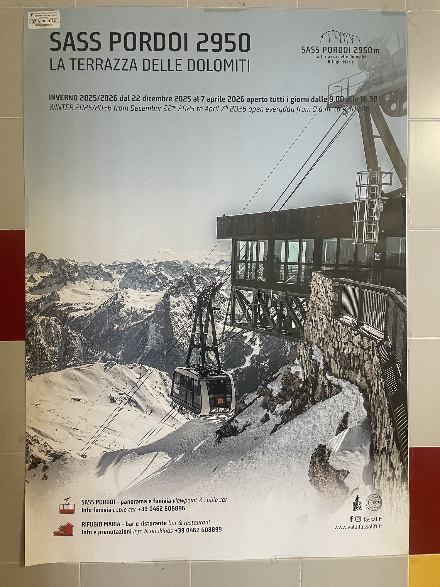
Rifugio Maria Sass Pordoi
Arabba - Bec de Roces
Arabba - Porta Vescovo
Pordoi - Pass
Canazei - Col dei Rossi
Canazei - Col dei Rossi
Canazei - Col dei Rossi
Canazei - Col Rodella
Canazei - Col dei Rossi
Canazei - Col dei Rossi
Canazei - Col dei Rossi
Canazei - Col dei Rossi
Canazei - Col dei Rossi
Boé
Boé
Boé
Boé
Boé
Boé
Pordoi - Pass
Mezdi Bergstation
Mezdi Bergstation
Mezdi Bergstation
Mezdi Bergstation
Mezdi Bergstation
Canazei - Col dei Rossi
Canazei - Col dei Rossi
Canazei - Col dei Rossi
Canazei - Col dei Rossi
Canazei - Col dei Rossi
Colfosco - Corvara in Badia / Hotel Luianta
Passo Sella - Hotel Maria Flora
Passo Sella - Hotel Maria Flora
Passo Sella - Hotel Maria Flora
Passo Sella - Hotel Maria Flora
Passo Sella - Hotel Maria Flora
Passo Sella - Hotel Maria Flora
Aktywności na trasie

Livinallongo del Col di Lana, Veneto/Italia
16.06.2026 – Wycieczka wysokogórska
Livinallongo del Col di Lana, Venetien/Italien
15.06.2026 – Via ferrata
Canazei, Trentino-Alto Adige/Italia
07.06.2026 – Wędrówka
Canazei, Trentino-Alto Adige/Südtirol/Italia
05.06.2026 – Wędrówka
Piz Boè
24.05.2026 – Wędrówka
Ferrata Cesare Piazzetta al Boè
02.05.2026 – Via ferrata
Passo Pordoi - Piz Boè - Passo Pordoi
12.04.2026 – Wędrówka zimą
Canazei, Trentino – Alto Adige/Südtirol/Italy
19.10.2025 – Wycieczki górskie

Livinallongo del Col di Lana, Veneto/Italy
19.10.2025 – Wycieczki górskie
Piz Boè, Veneto/Italia
04.09.2025 – Wędrówka
Livinallongo del Col di Lana, Venetien/Italien
03.09.2025 – Wędrówka
Livinallongo del Col di Lana, Venetien/Italien
22.08.2025 – Wędrówka
Livinallongo del Col di Lana Pohodništvo
20.07.2025 – Wycieczki górskie
Popularne wycieczki w okolicy
- 4,8
The Munkelweg trail beneath the Geisler peaks
średniWędrówka 9,11 km - 4,6
Pordoi Pass - Sass Pordoi - Forcella Pordoi - Piz Boè - Boè Refuge - Forcella Pordoi - Pordoi Pass
ciężkiWędrówka 8,39 km - 4,9
Lang- und Plattkofel Umrundung
średniWędrówka 17,5 km - 5,0
Um den Langkofel
średniWędrówka 9,76 km - 4,8
Langkofel-Umrundung
średniWędrówka 12,9 km - 4,0
Der Friedrich-August-Weg
średniWędrówka 10,4 km - 5,0
Langkofel Klettersteig/Ferrata Furcela de Saslonch
ciężkiVia ferrata 7,07 km - 4,8
Pisciadùsteig Sella Gruppe
średniVia ferrata 7,15 km - 4,7
Vom Col Raiser über die Seceda und Pieralongia zur Regensburger Hütte
średniWędrówka 10,4 km - 4,4
Seceda und Regensburger Hütte
średniWędrówka 14,1 km
Wędrówki i tropienie


Nie przegap ofert i inspiracji na następne wakacje
Twój adres e-mail została dodana do listy mailingowej.