







Terlago Variant
Poziom trudności: ▲
Signage: 1710a. Variante Terlago
If the Valle dei Laghi Trail-Tour is too long for you, you can use these shortcuts to halve its length to just over 21 kilometres. The beautiful trails and idyllically...
Signage: 1710a. Variante Terlago
If the Valle dei Laghi Trail-Tour is too long for you, you can use these shortcuts to halve its length to just over 21 kilometres. The beautiful trails and idyllically situated Lago di Lamar can also be enjoyed on this circuit.


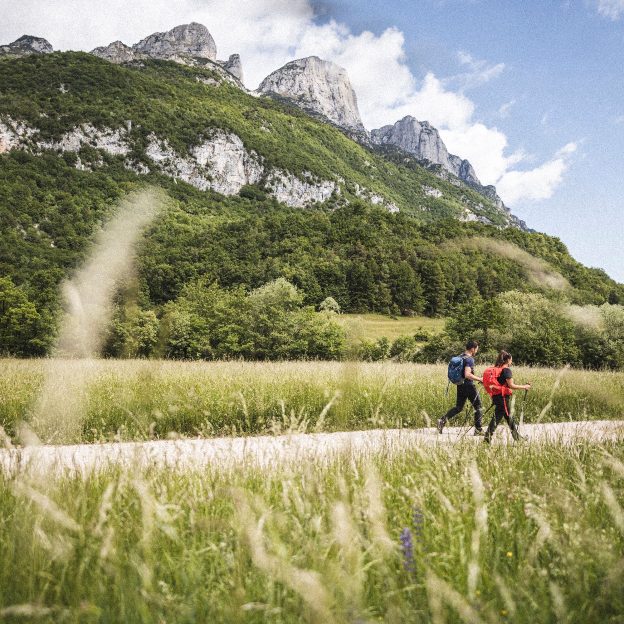
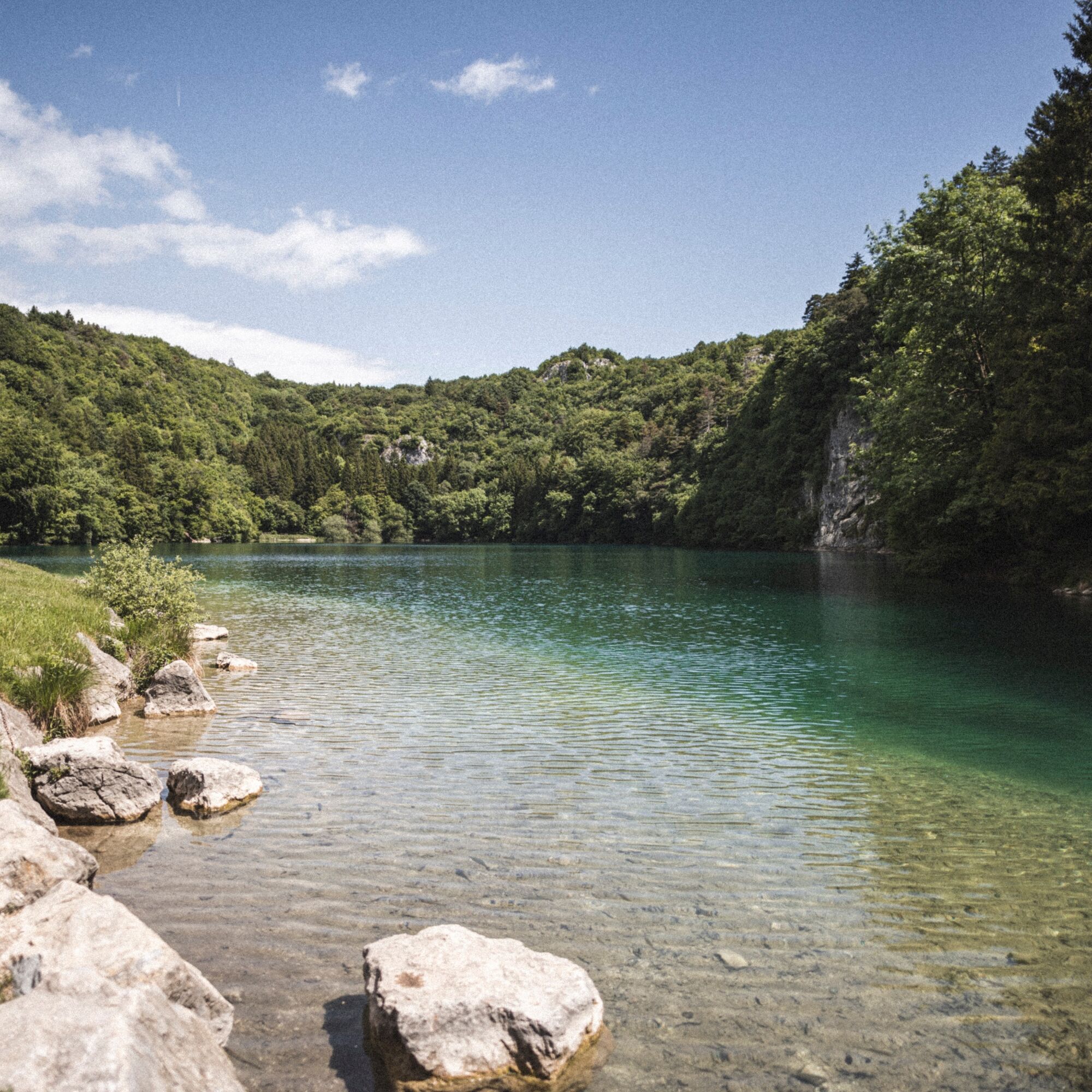
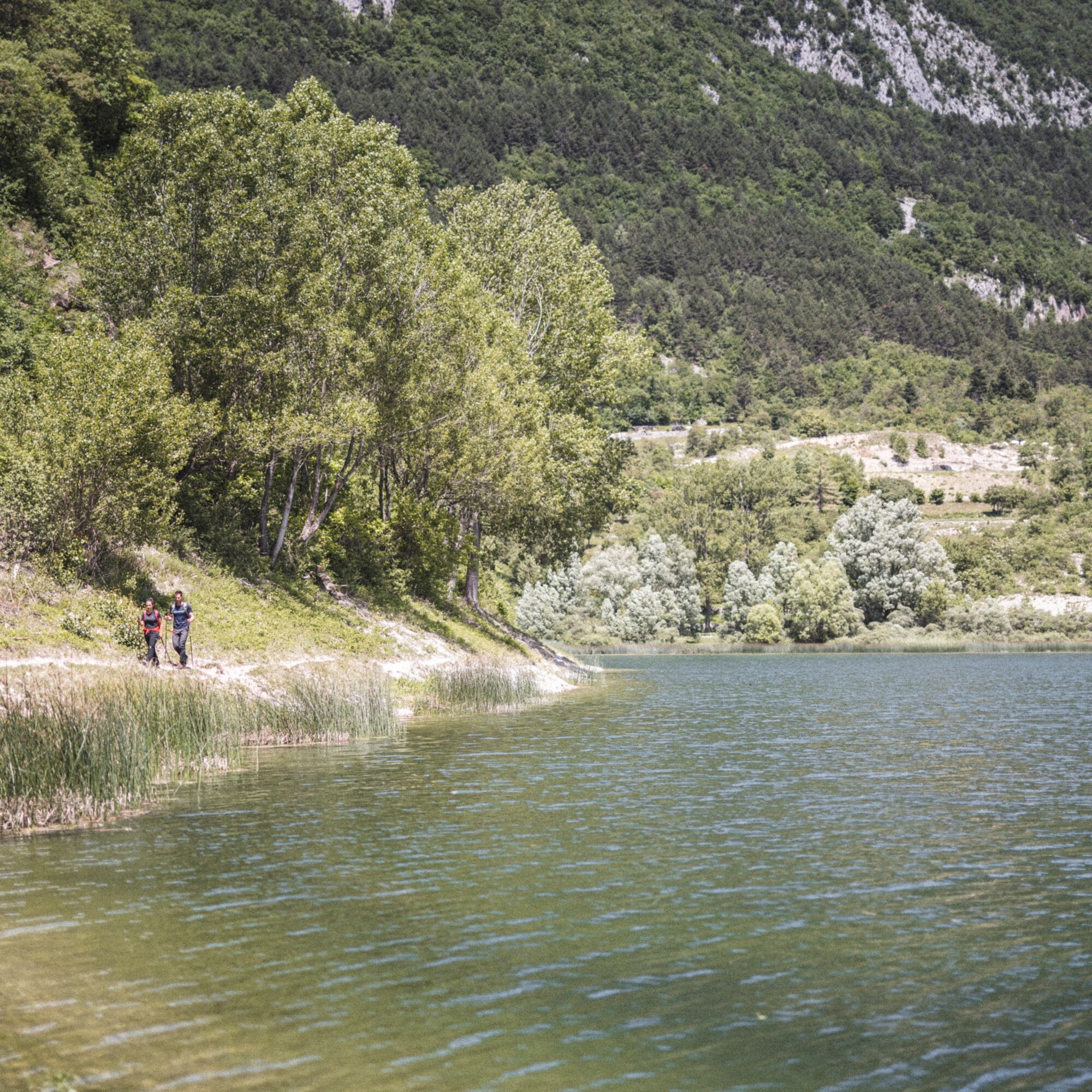


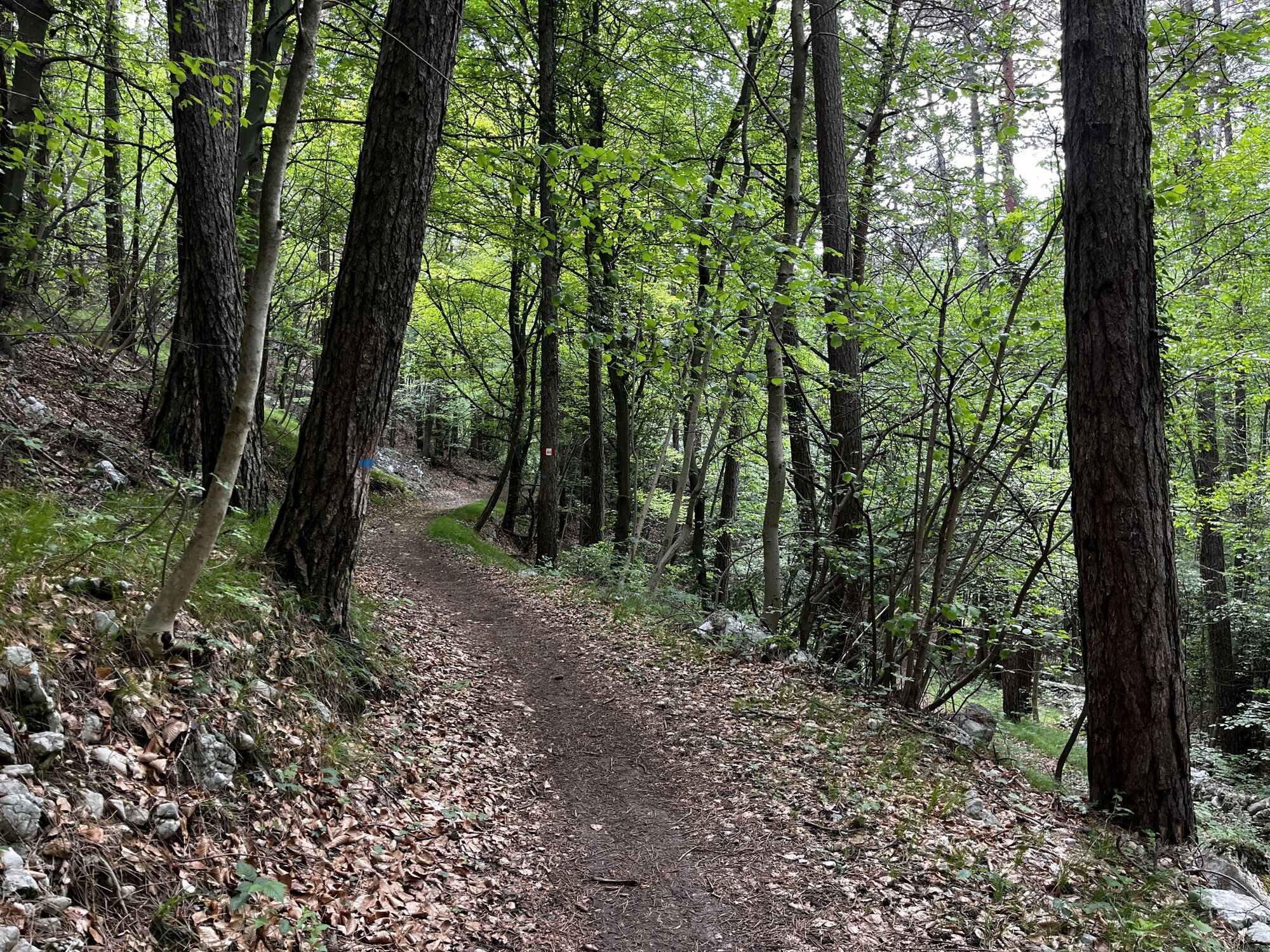
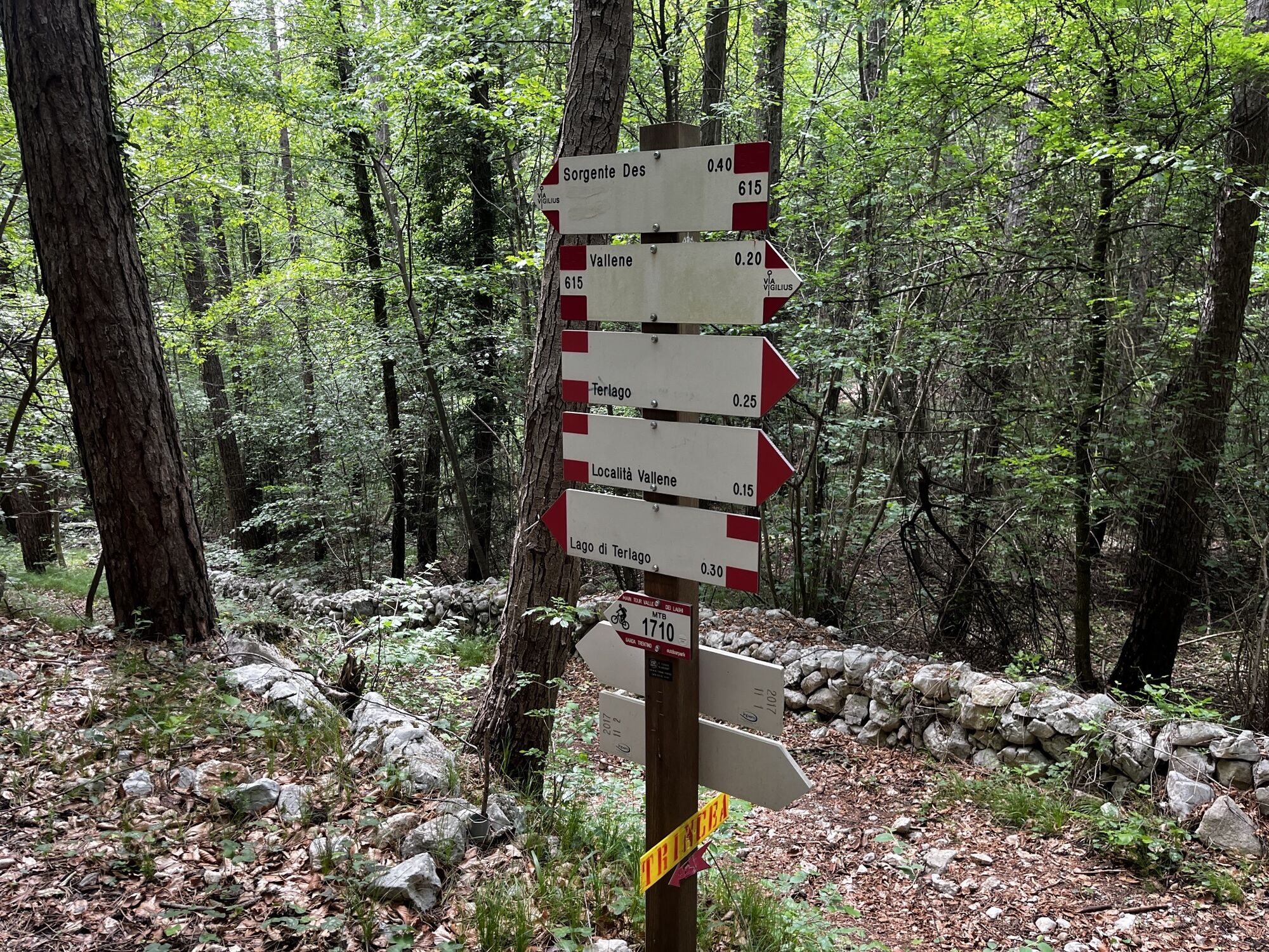
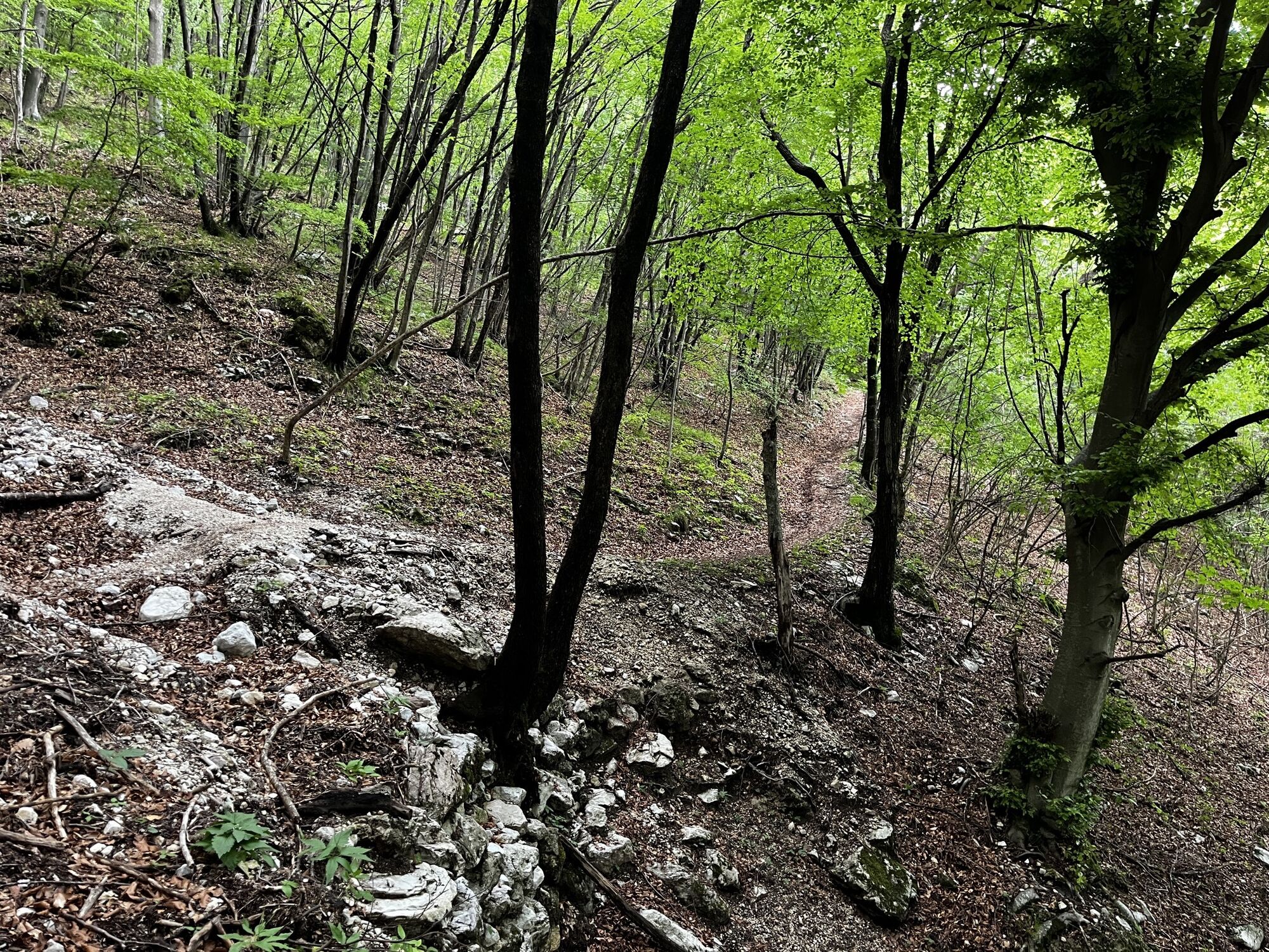
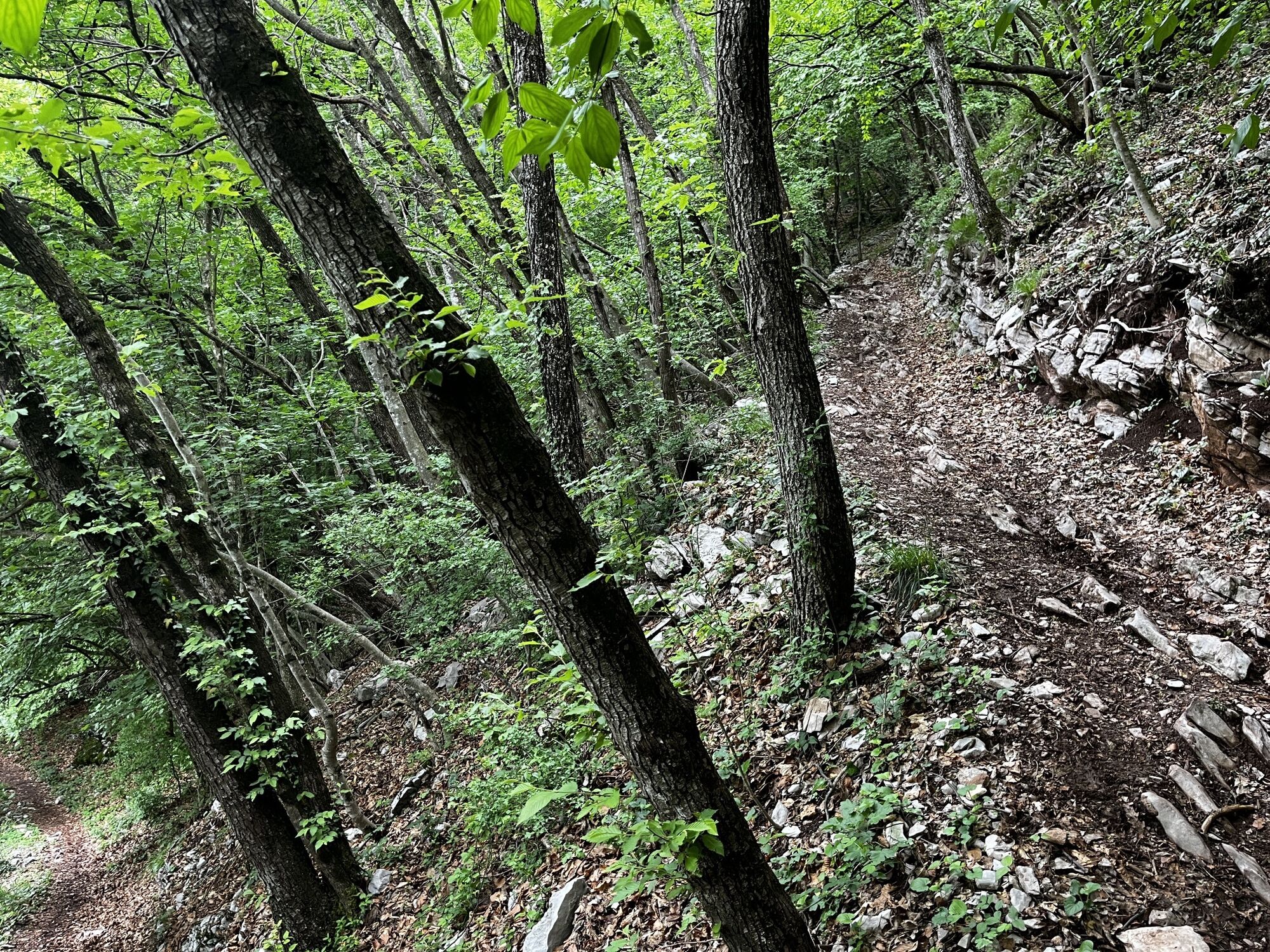
The tour starts on Via Degasperi in Terlago, where there is some convenient free parking in front of the primary school. From here, you will proceed along the cycle path on Via Palù, passing Trilacum Sports Centre on your left. Follow the "del Palloncino" bend alongside the SS-45bis (Gardesana) road. From this point, you will take the dirt road in the direction of Covelo – Cadènis, bypassing Monte Mezzana. Once you come to the end of the dirt road, you will arrive at the first few houses in the town of Covelo. Keep heading in this direction and start the uphill climb across the SP-18dir and into the village via Cadènis, Villa Bassa and finally onto Via Ariòl in the direction of Monte Terlago. Continue along the road to Ariòl until you reach Maso Ariòl, where you will take the first uphill road on your left towards the woods following the SAT 627 trail. Continue to follow the dirt road that runs alongside the last few houses and into the countryside, until you reach Maso Parisoi, after which you will continue your climb through the Monte Terlago countryside. At the end of the road, you will find yourself in a car park at the top of the village of Monte Terlago, where you will take the road towards the Prada meadows, following the SAT 627 trail signs. Continue along the same path until you reach the crossroads with SAT 682, where you will continue on until you reach the highest point on the path, at the top of the Prada meadows (940 m.a.s.l.). From here, you will begin a steep and technically challenging descent in the direction of Mez Pian. Less experienced riders are advised to dismount in a couple of places to avoid the tight hairpin bends. Once you reach the bottom, you will find yourself on a forest road heading south in the direction of the Lamar lakes along the SAT 681 trail. Once you arrive at Lake Lamar (718 m.a.s.l.), cycle back uphill briefly, making sure to follow the SAT 627 trail towards Lake Terlago or the Giro del lago di lamar 1A. At the top of this steep climb, continue to follow the 1A until you have cycled through (with numerous ups/downs) the entire Faeda Forest before arriving at the Vallene campsite. At the campsite, turn left onto SAT 615 towards Terlago, which will take you downhill to the first few houses in the village. There are some steep stretches during this descent and less experienced riders are advised to dismount. Once you reach the village of Terlago, continue right on Via Crosara, cross the covered walkway, and take Via Defant towards the church once you get to Piazza Torchio. Turn left here on to Via Roma, cross the narrow road, and turn right on to Via Degasperi before the Cassa Rurale. You will find yourself back at the departure point in the primary school car park.
Tak
Riding your bike requires specific clothing and equipment, even for relatively short and easy trips. It is always better to be prepared… e.g. for bad weather or a sudden drop in your energy levels. The unexpected things are part of the fun!
Remember to thoroughly evaluate the type of route you plan on doing, the locations you intend to cross and the current season. Has it been raining? Attention: The paths may be slippery and require more caution.
What do I need to bring on my bike tour?
An adequate water supply according to your needs (considering temperature, possibility of refuelling and duration of the route) Plenty of snacks (for example, dried fruit or energy bars) Waterproof / Windproof jacket A spare top / spare socks (Descending in a sweaty garment, will make you cold). Suncream Sunglasses Bike gloves/mitts Map or GPS device Bike lights: best placed on your helmet or handlebars. (It is always best to be prepared) Bike repair kit for punctures and mechanical breakdowns First aid kit Emergency whistleIt is always advised to let someone know where you plan to go and how long you expect to be.
Emergency telephone number 112.
ITRS - International Trail Rating System
The ITRS is an objective way to assess trails and routes from a biker’s perspective, evaluating four aspects:
Technical Difficulty: riding skill level needed Endurance: combined effect of length, uphill and downhill Wilderness: amount of planning required based on mobile phone reception, rescue options, water supply and wildlife Exposure: consequences of a fallDiscover more about the ITRS system and check the classification of this tour in the photo gallery.
Safety Tips
Always wear your helmet. Plan your ride. You share the trail with other users. Yield right of way to hikers. Let your speed be determined by your experience. Ride slowly on crowded trails, overtake with politeness and respect. Cycle only on authorized and open trails. Avoid muddy trails in order not to damage them further. Respect public and private property. Always be self-sufficient. Do not cycle solo in remote areas.This information is subject to inevitable variations, so none of these indications are absolute. It is not entirely possible to avoid giving inexact or imprecise information, given how quickly environmental and weather conditions can change. For this reason, we decline any responsibility for changes which the user may encounter. In any case, it is advisable to check environment and weather conditions before setting out.
Find out how to reach Garda Trentino.
Terlago is connected by regional buses.
From Riva del Garda:
Bus line 205 (Riva del Garda - Trento) until Cadine Bus line 206 (Trento – Monte Terlago) or Line 230 (Trento – Ranzo/Margone) until TerlagoParking at the starting point of the 1710. Valle dei Laghi Trail-Tour.
▲
A short detour brings you to Lake Terlago, one of the two lakes in Trentino where you can try wakeboarding!
Kamery internetowe z trasy
Uzyskaj wgląd
Zawsze na żywo z ponad 9 500 kamer internetowych. bergfex Jako użytkownik Pro, możesz teraz zobaczyć odpowiednie kamery internetowe dla wielu wycieczek w aplikacji wycieczki od. Pozwala to na bezpośredni podgląd aktualnych warunków.
Popularne wycieczki w okolicy
-
4,7
Burrone Klettersteig (B)
Via ferrata 4,30 km -
3,5
Rio Secco (D)
Via ferrata 2,42 km -
4,6
The Calavino Water Channel
średniWędrówka 3,79 km -
3,5
Rifugio Selvata
średniWędrówka 12,1 km -
5,0
Via Ferrata Rino Pisetta - Dain Piccolo
ciężkiVia ferrata 5,89 km -
4,8
San Lorenzo Dorsino - Ponte Romano - Molveno
światłoWędrówka 10,6 km -
4,7
The Sarca Valley and Lake Cavedine: from Arco to Sarche
światłoJazda na rowerze 36,6 km -
5,0
Tour del Lago di Cavedine
światłoDroga rowerowa 39,9 km -
5,0
Garda Trentino Discover
średniJazda na rowerze 58,7 km -
5,0
Val Ambiéz: walking in the Brenta Dolomites
ciężkiWędrówka 18,1 km
Wędrówki i tropienie


Nie przegap ofert i inspiracji na następne wakacje
Twój adres e-mail została dodana do listy mailingowej.





