





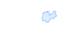

Tour del Lago di Cavedine

Poziom trudności: 1
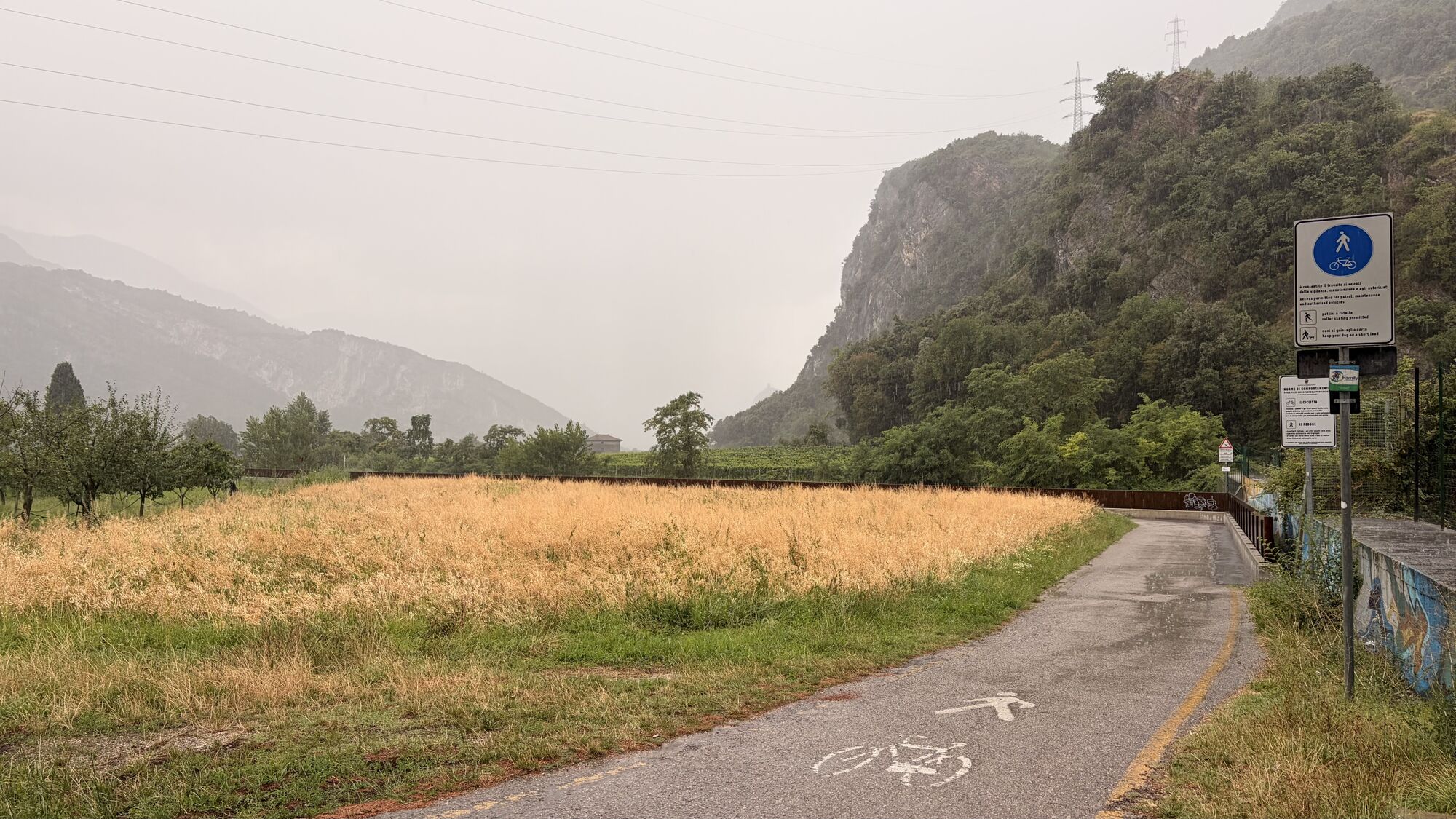
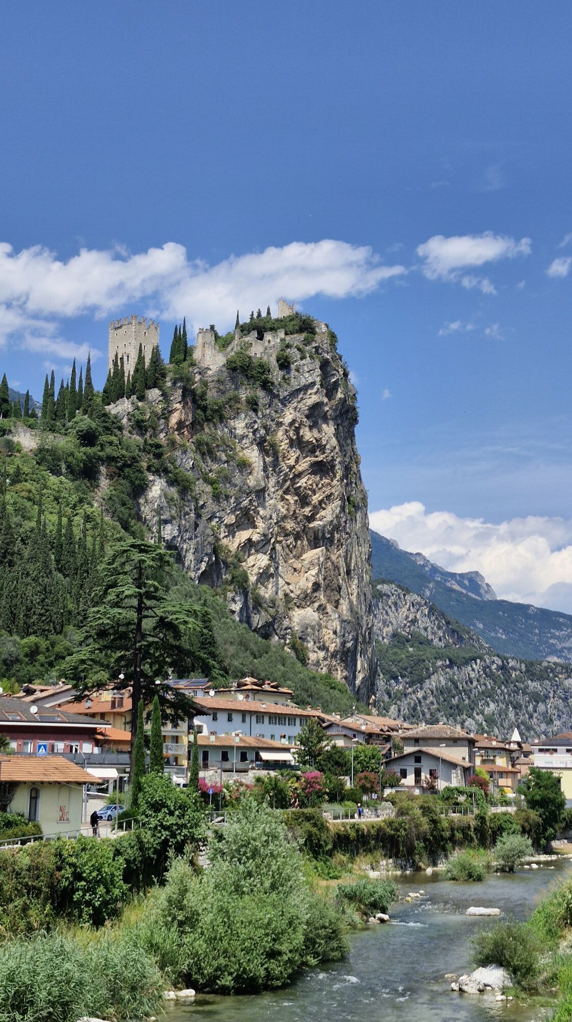
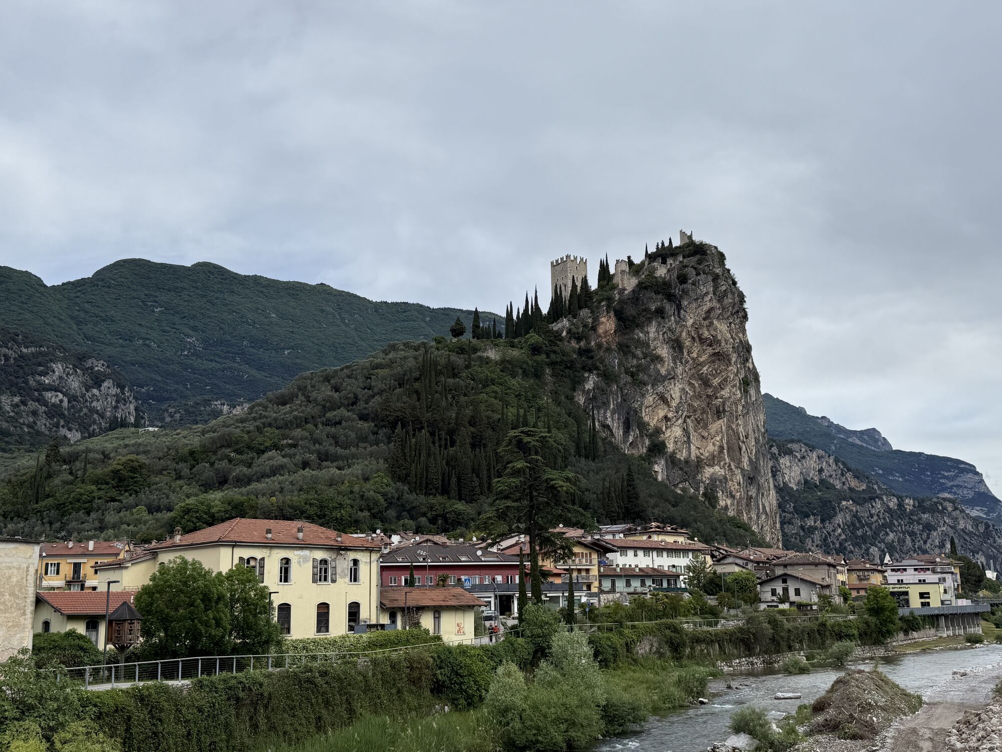
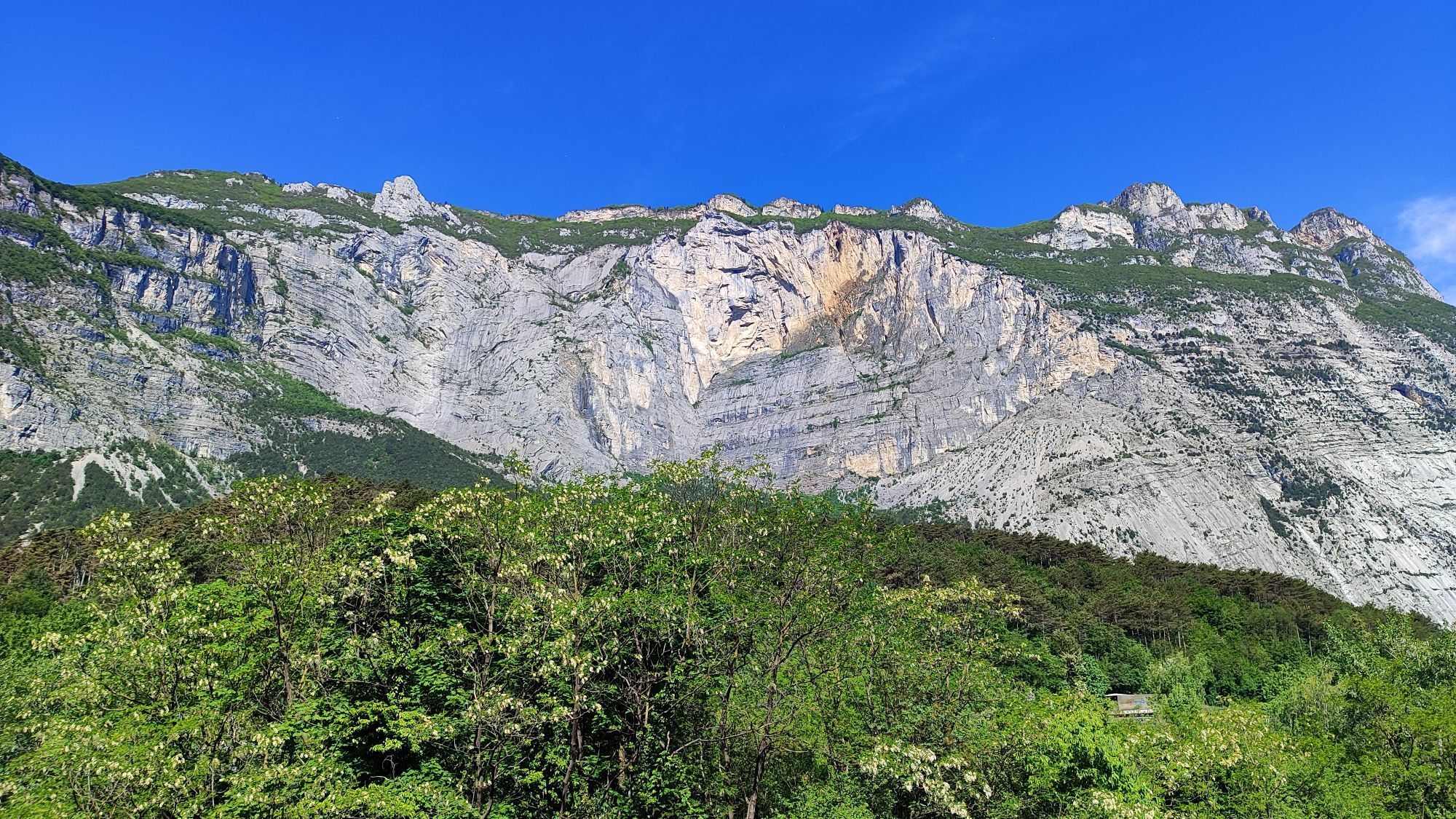

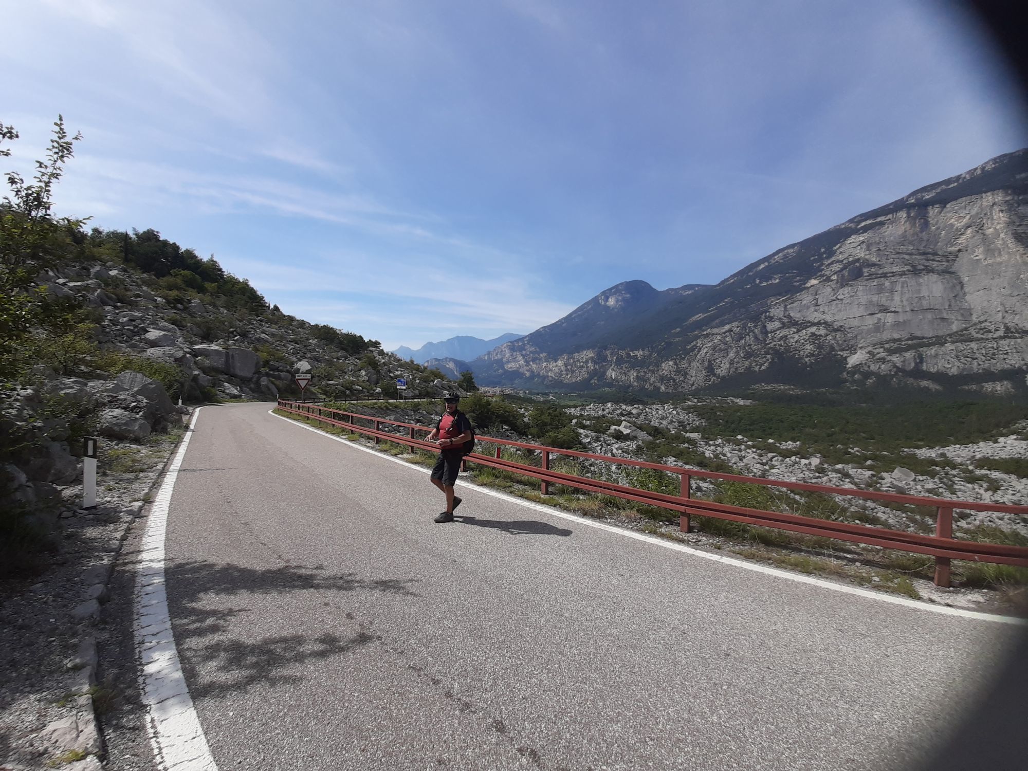
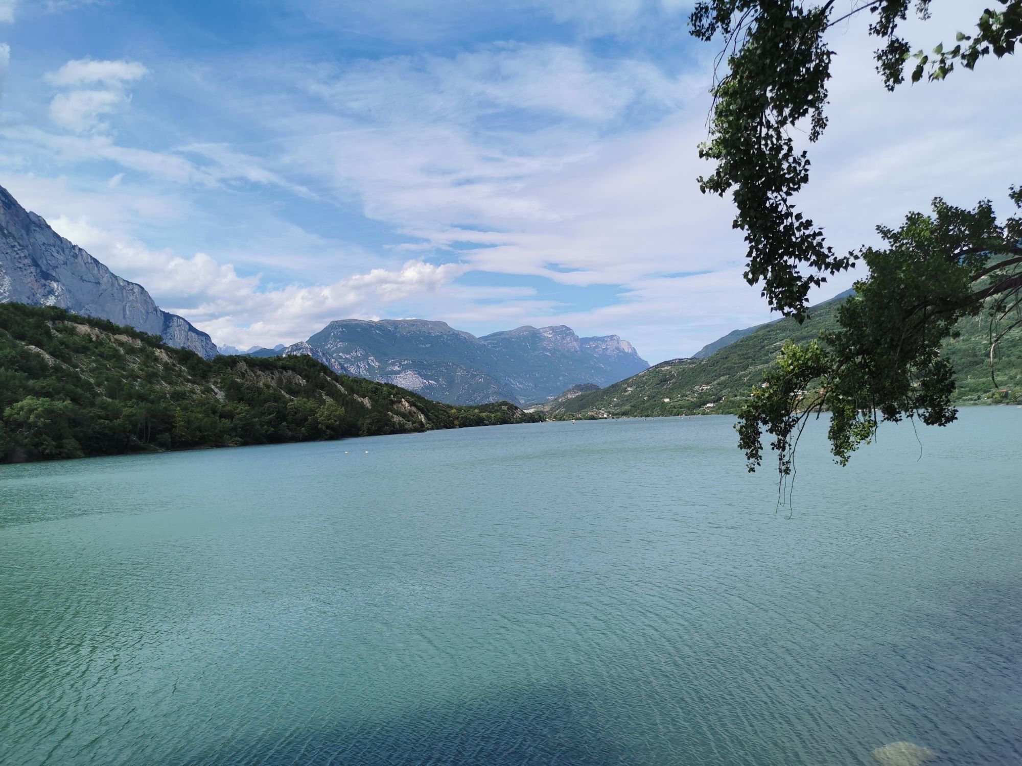
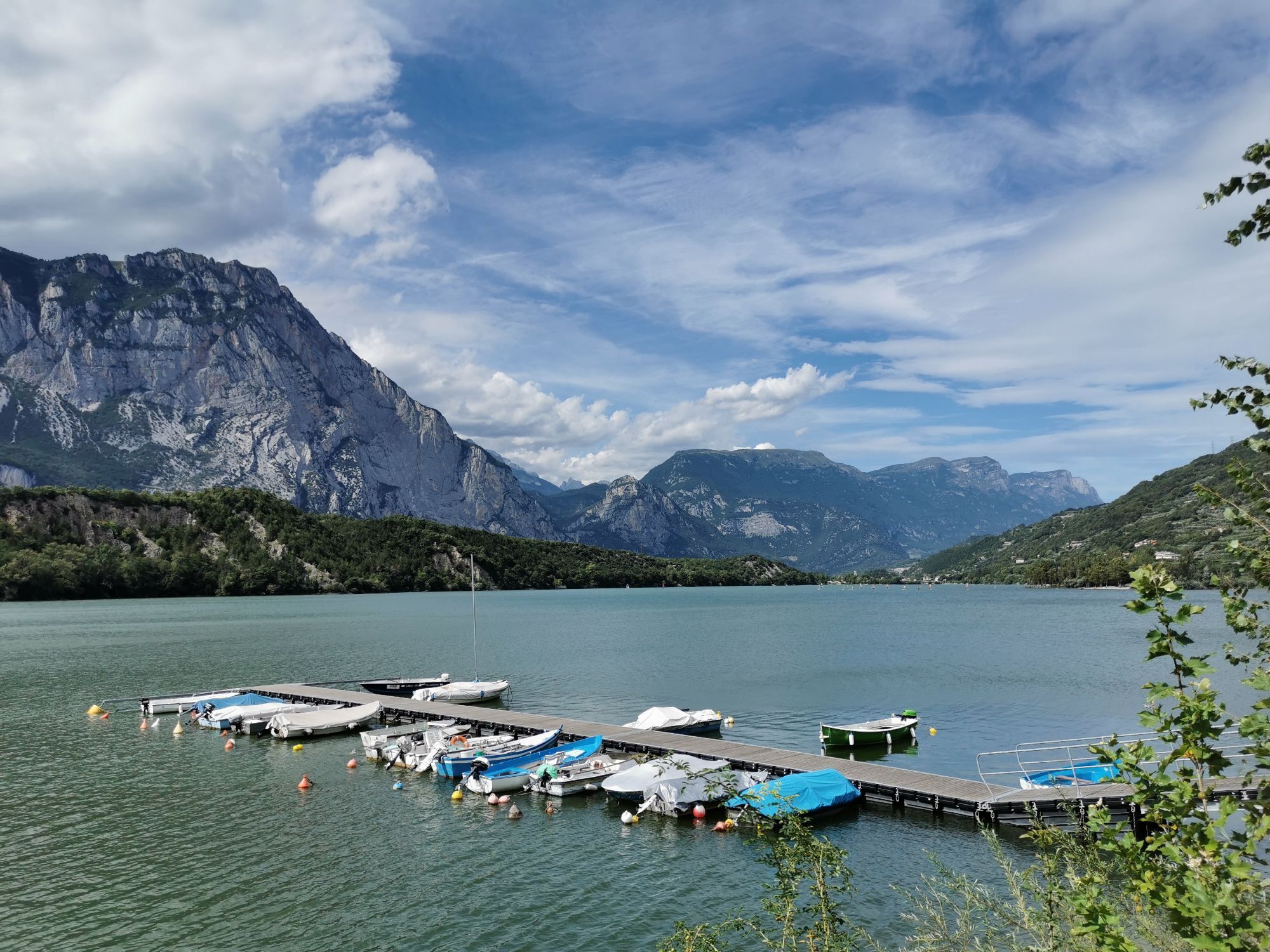
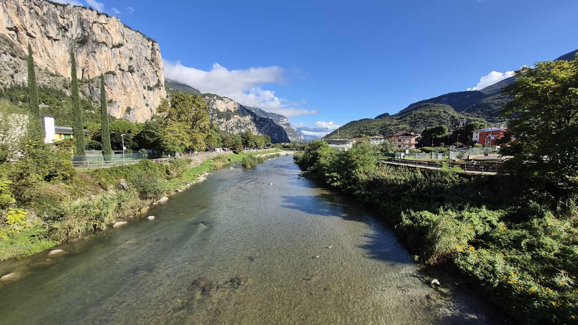
The only drawback of this route is the short climb leading from Dro to the crossroads for Lake Cavedine: it spans just over 2 kilometres and is characterised by gentle gradients.
For the rest, a brief,...
The only drawback of this route is the short climb leading from Dro to the crossroads for Lake Cavedine: it spans just over 2 kilometres and is characterised by gentle gradients.
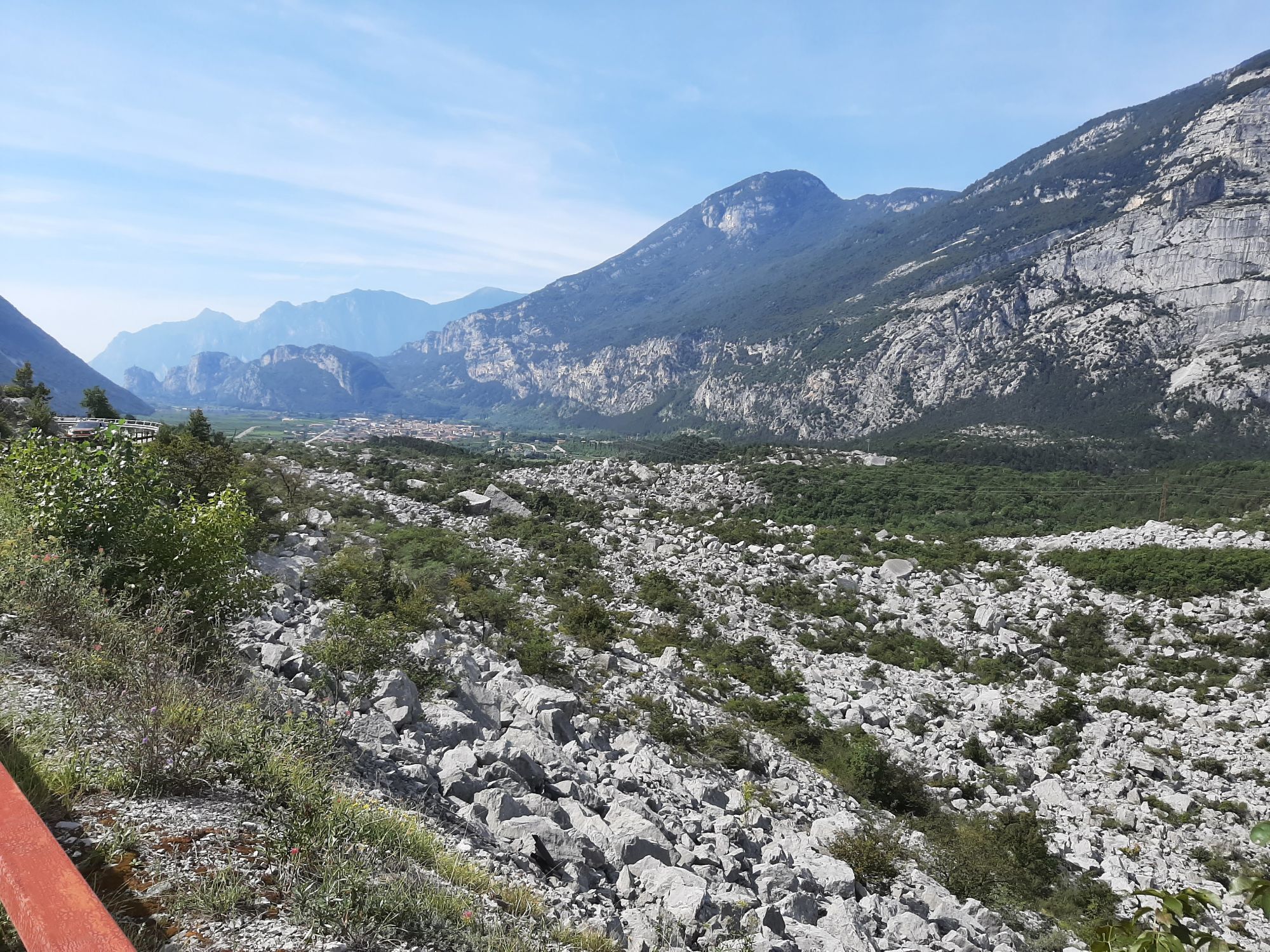
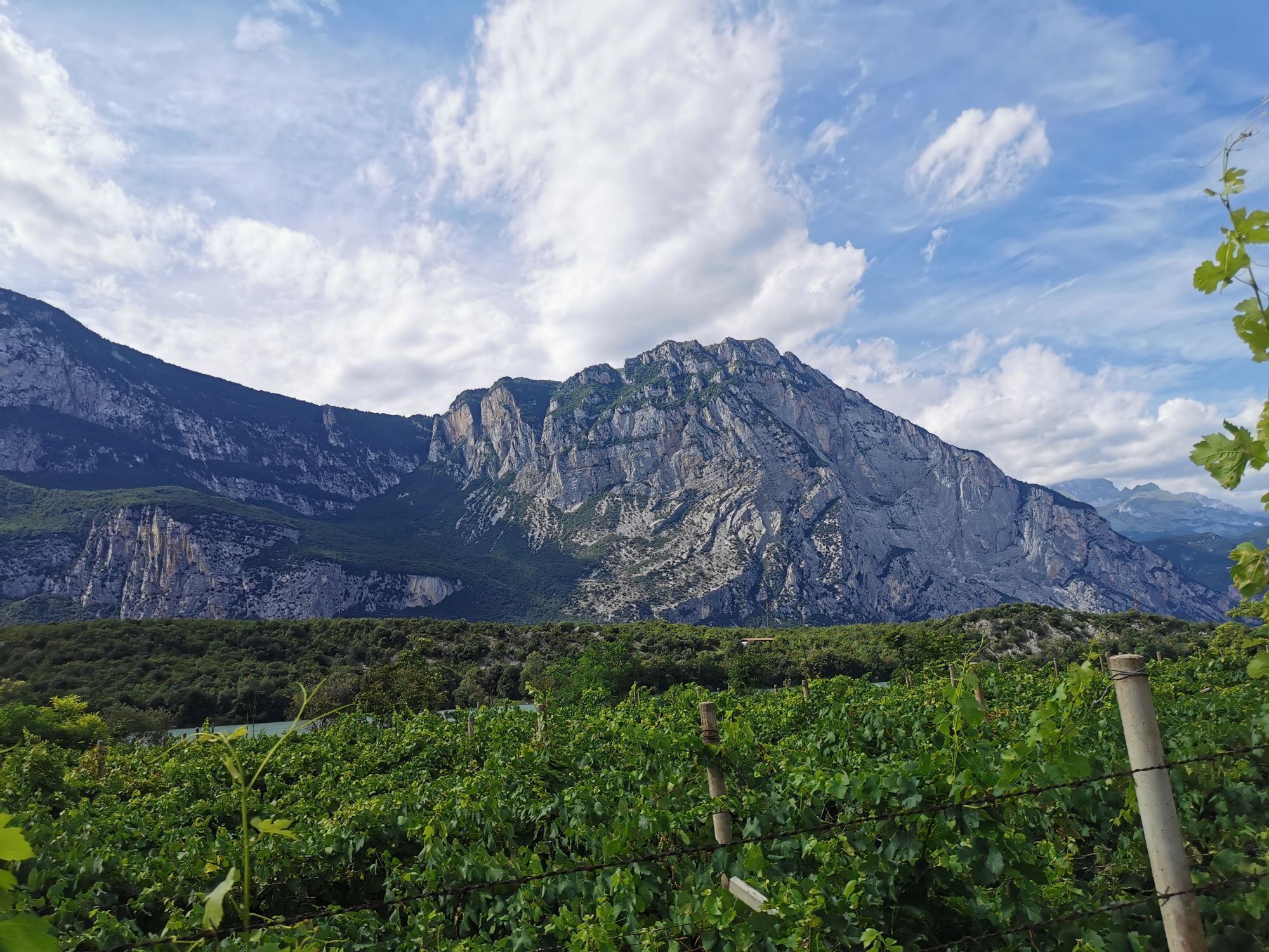
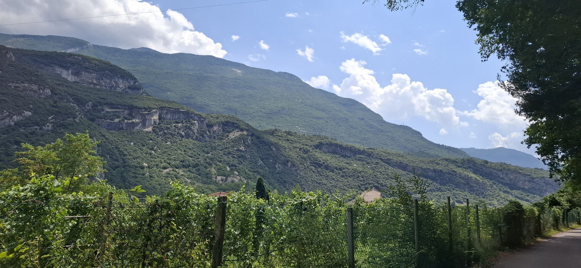
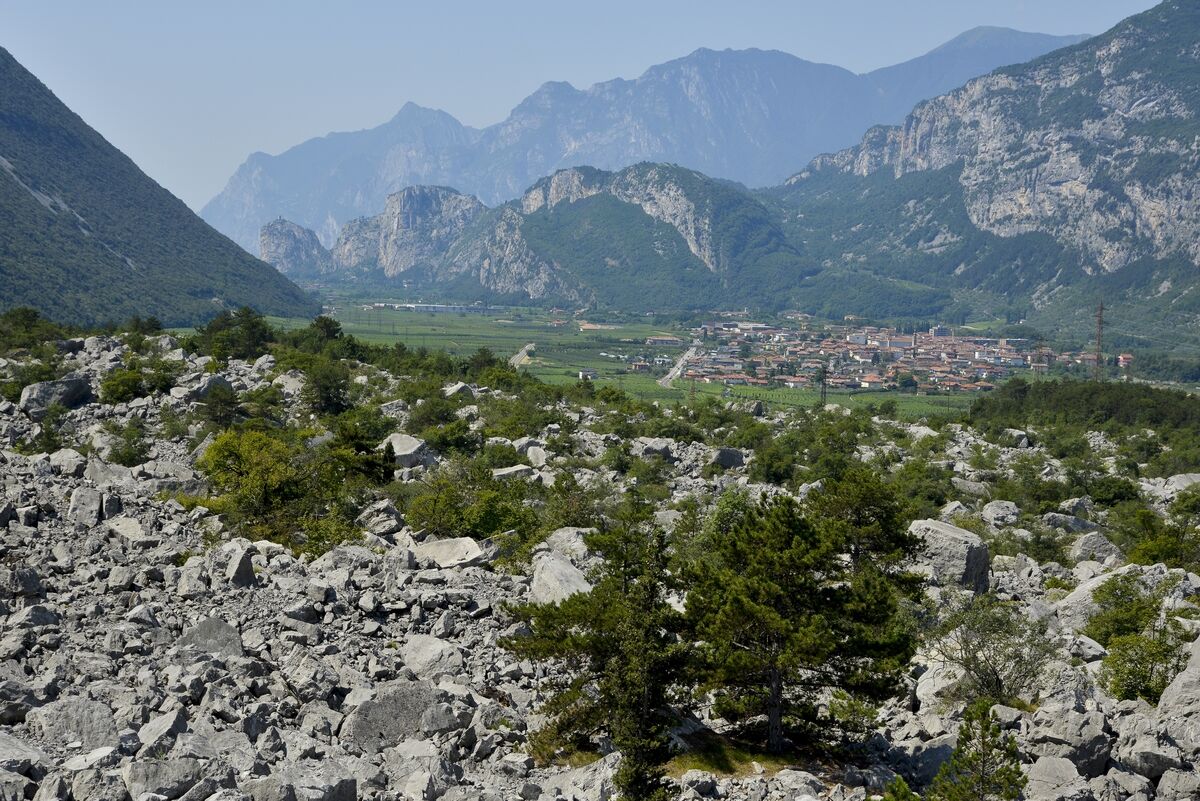
For the rest, a brief, enjoyable, tour on flat terrain, mostly on cycle paths. A chance to view the magnitude of the Marocche di Dro Nature Reserve close-up, a huge, sun-kissed expanse of pebbles and one of the few protected areas classified as a dry and not humid zone.
An itinerary for all levels of cyclists, also suitable for beginners.

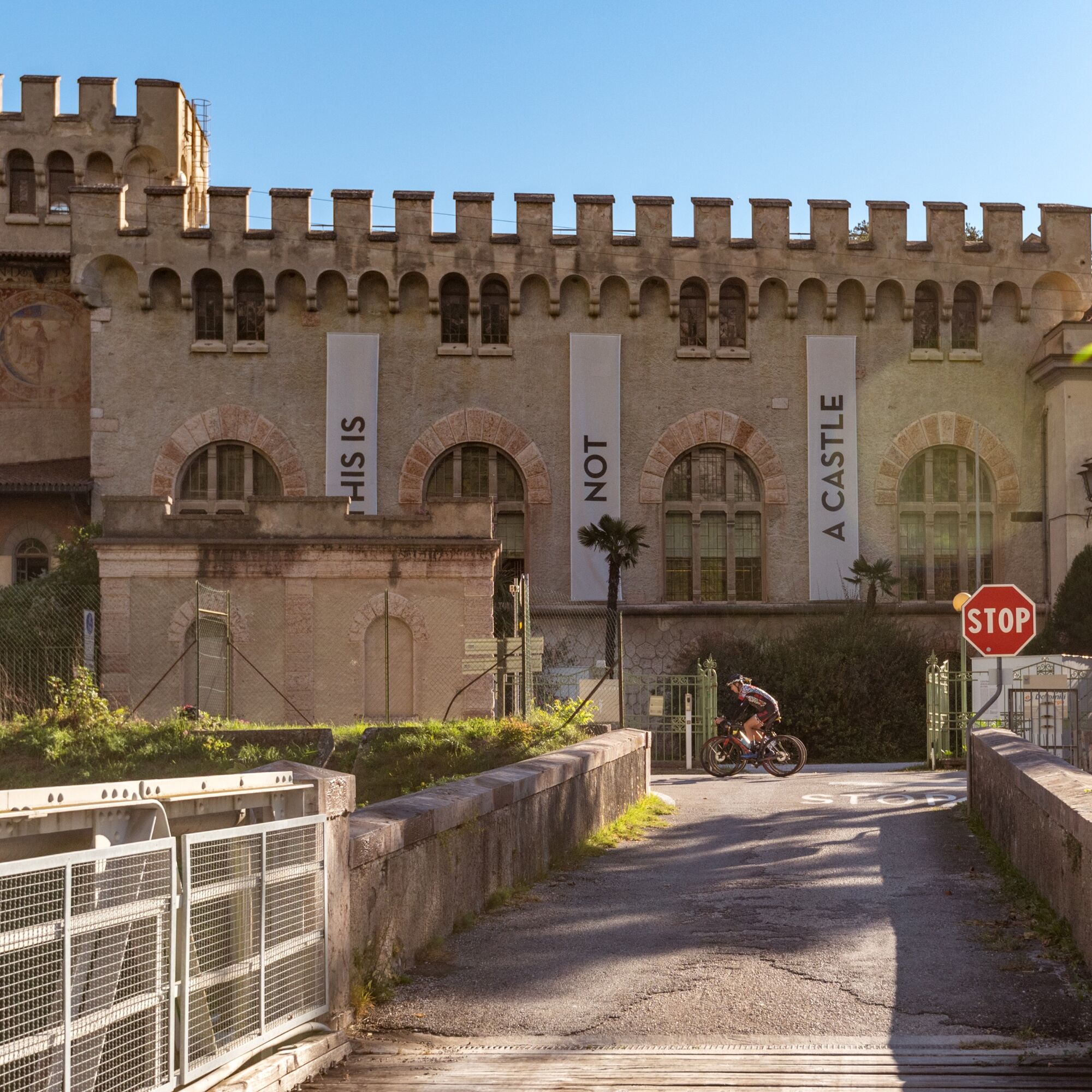
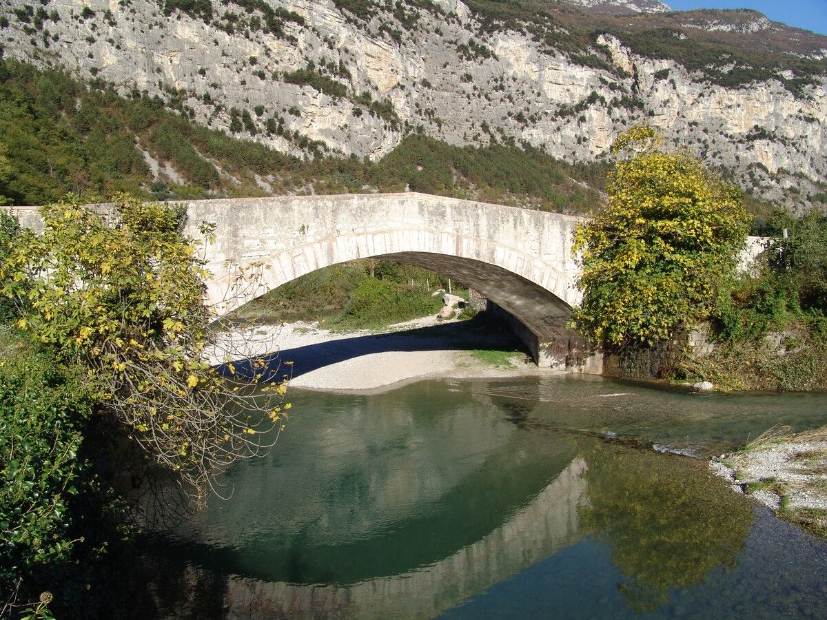

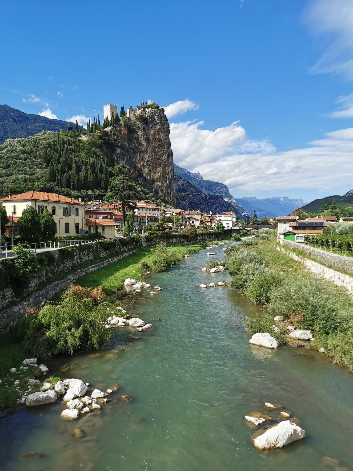
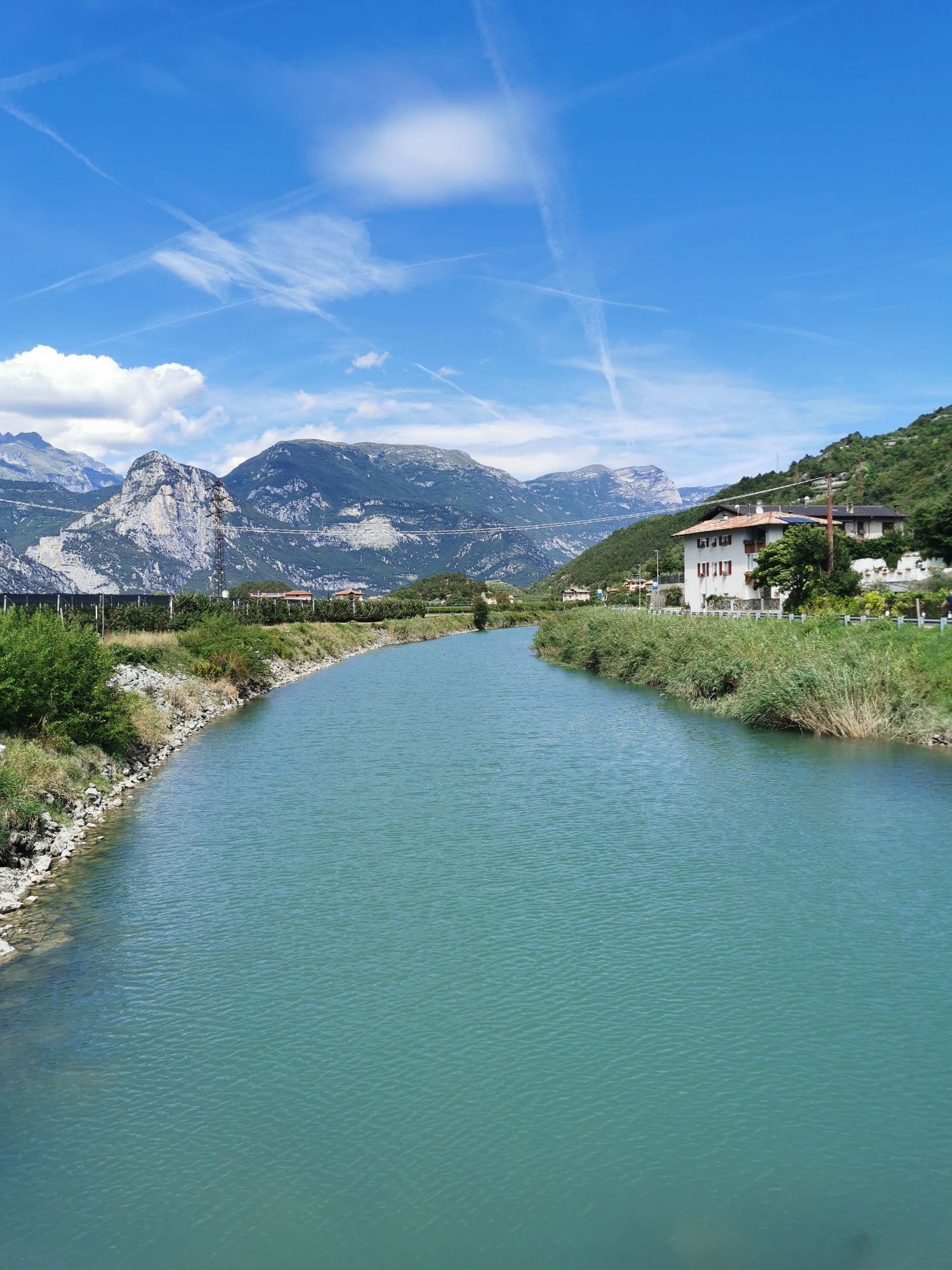
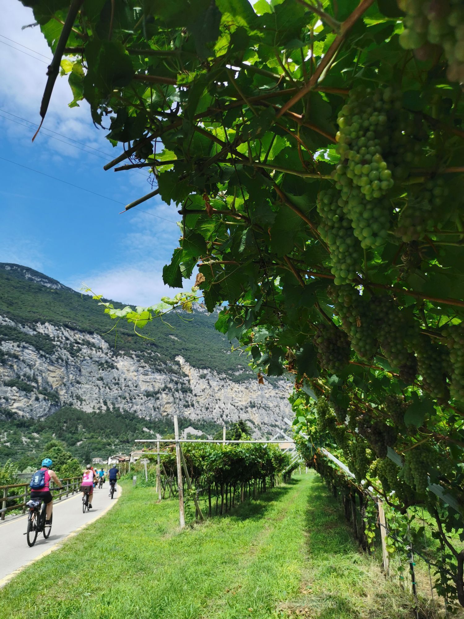
Starting from Riva del Garda you head north towards Arco up to the Carmellini parking where you take the cycle path that flanks the Sarca river until the residential area of Ceniga. Carry on to Dro and at the roundabout after the flyover take the direction to Drena.
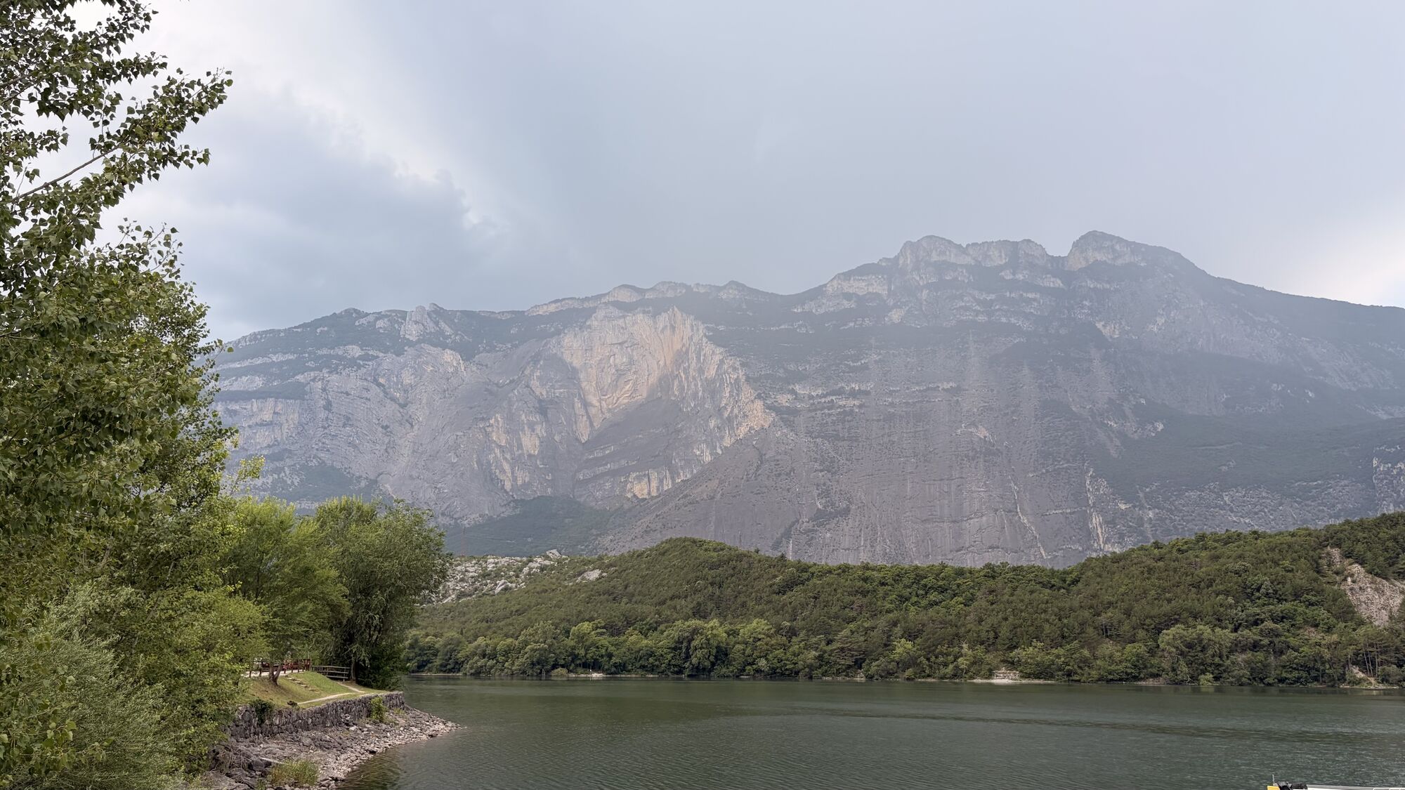
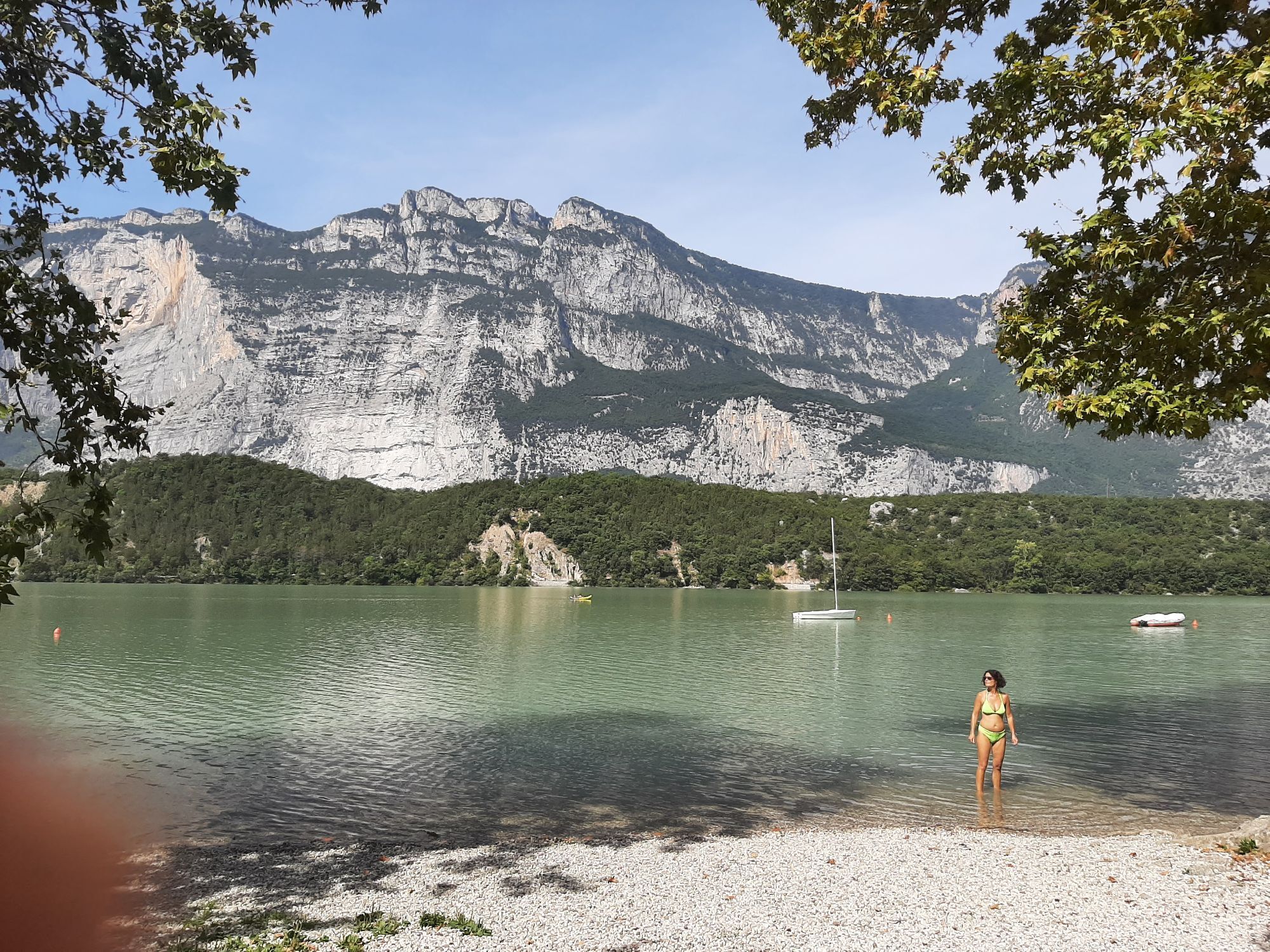
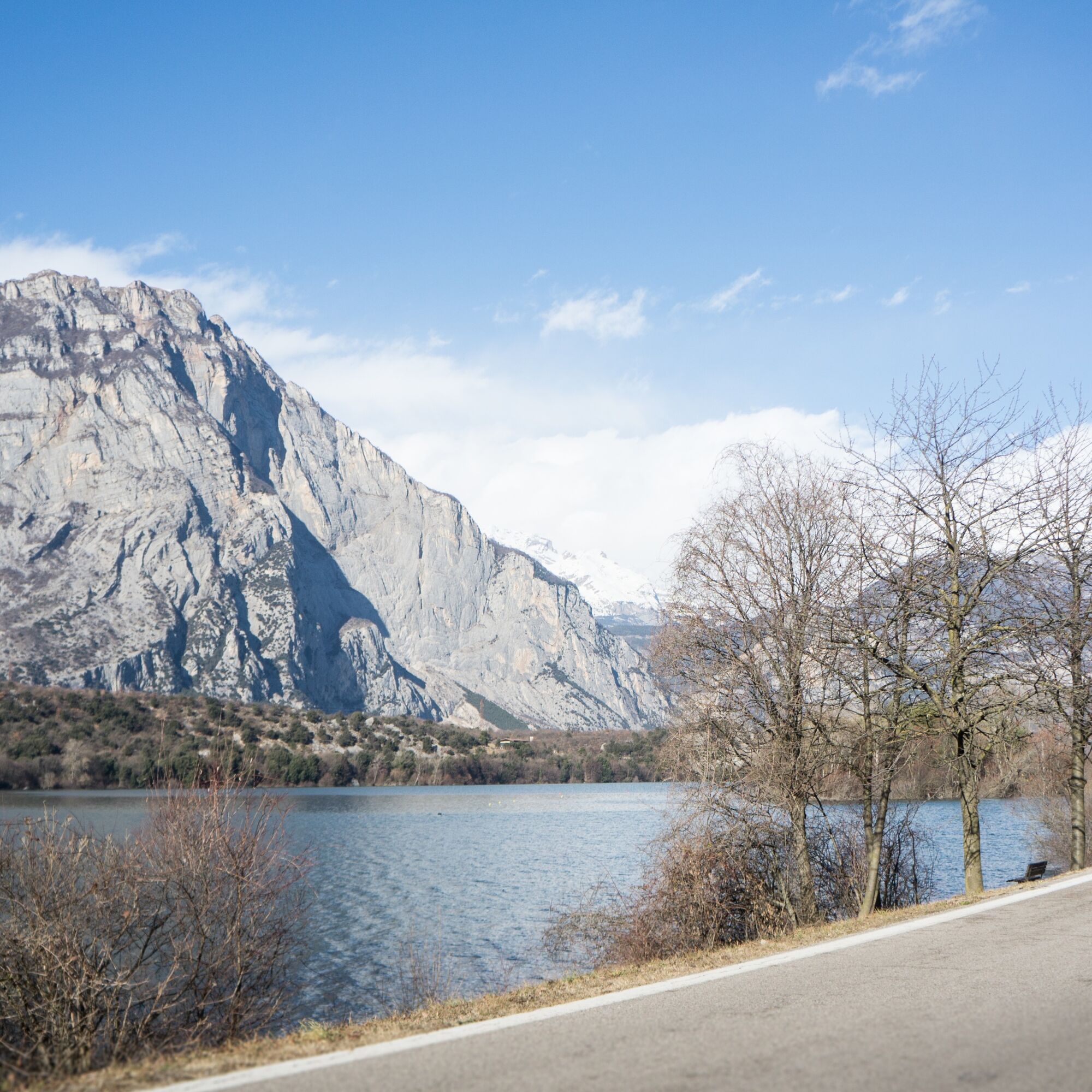
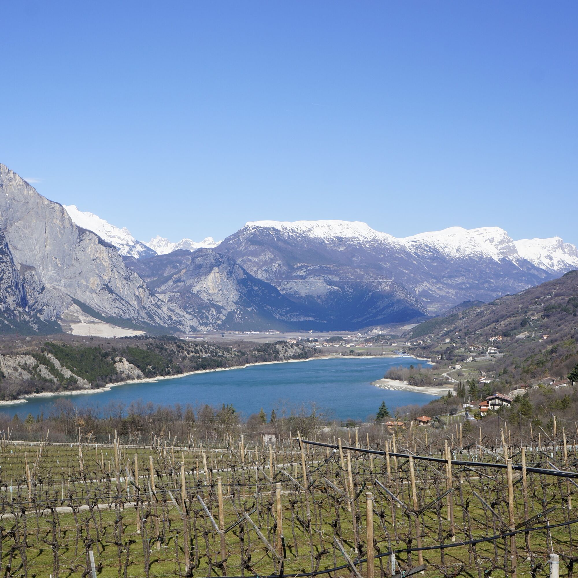
After a short uphill street you take the crossroad to Lake Cavedine and Pergolese, in the middle of the nature reserve “Marocche”, you turn left and after an apparently flat road, start the downhill road that leads us to the lake. After flanking it until the end, at the second bridge turn left in the direction of Pietramurata.
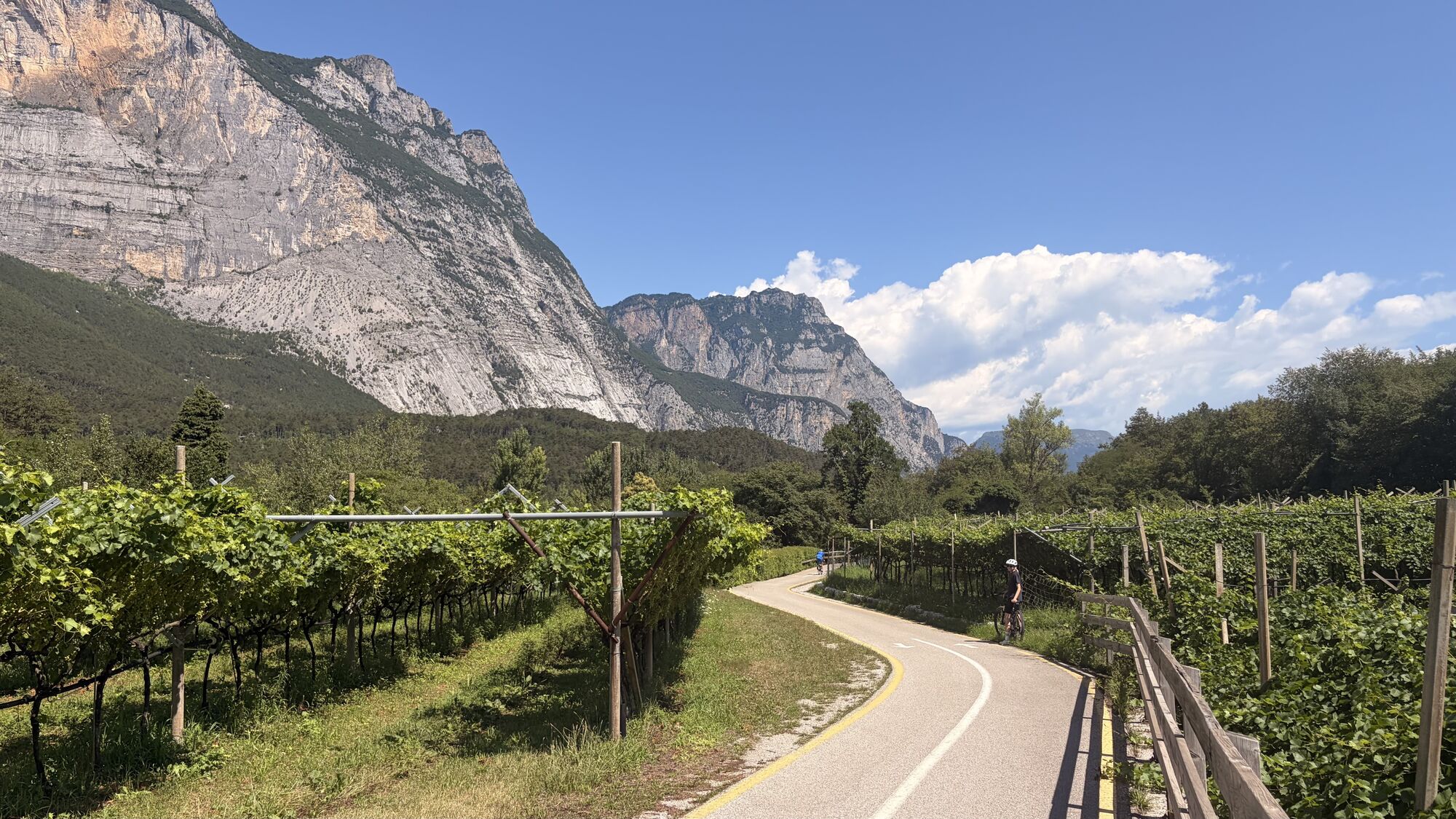
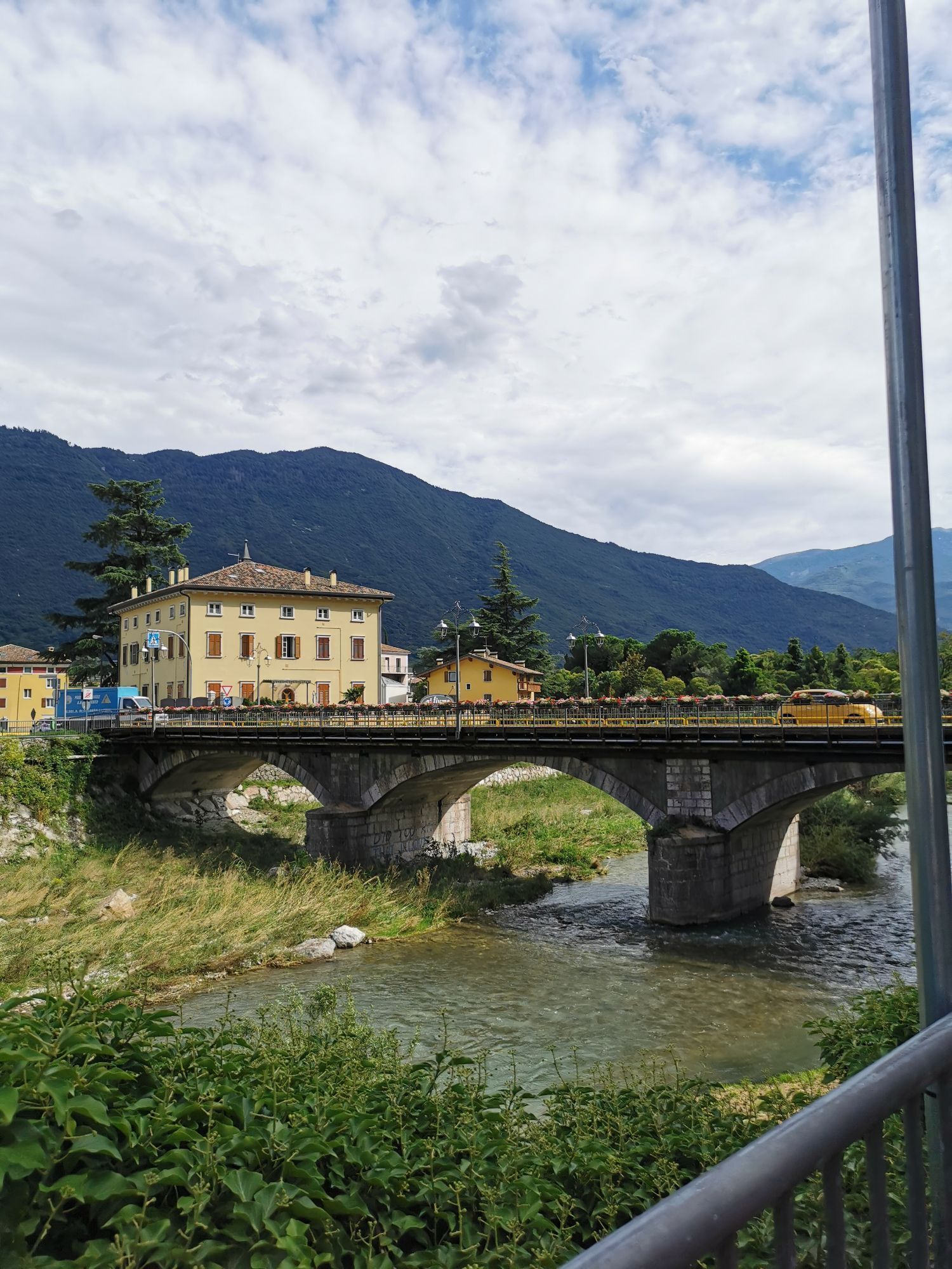
At the beginning of the village turn again left and take the cycle path that passes through the woods flanking the Sarca river, passing close to the plant of Fies until the roundabout of Dro. Continue past the residential area and travel the same road through again in the opposite direction until reaching Riva del Garda.
All loop itineraries can be done in both ways.
Tak
Riding your bike requires specific clothing and equipment, even for relatively short and easy trips. It is always better to be prepared… e.g. for bad weather or a drop your energy levels. The unexpected things also make up a part of the fun!
Do not compare a road bike with a mountain bike. They are very different, especially in technical terms, and facing a hill with a road bike could be much more difficult than facing the same hill with a MTB. Therefore, remember to throughly evaluate the type of route you plan to do and the locations you plan to cross. Do not forget to consider the current season. Has it been raining? Attention: the paint of the crosswalk could be very slick.
What do I need to bring on my bike tour?
Bike helmet Bike gloves Bike glasses Waterproof/Windproof jacket Headlights and rearlights Reflecting suspenders Plenty of snacks (for example, dried fruit or energy bars) Water Bottle Bike repair kit (tire levers, mini bike pump, bike tube)It is always advised to let someone know where you plan to go and how long you expect to be.
Emergency telephone number 112.
Give your bike a regular checkup, especially if you've had it for years.
Be seen: you must wear a high vis jacket (or sash) in tunnels and on country roads after sunset.
Always wear your helmet.
Make sure your front and rear lights are working.
Put out your arm to give advance warning of your intention to change position and before you do anything, check there are no vehicles coming up behind you.
Don't use headphones or your mobile phone handsfree kit: you need all your concentration on the road!
Obey the road signs: stop at traffic lights and don't ride on the wrong side of the road.
If you are cycling in a group, always go in single file.
You've got a bell: use it to let pedestrians know you're there. Don't ride on footpaths. If you have to then get off and push your bike.
If there are cycle paths use them. It's your safety that's at stake and the rules of the road say you must.
Getting to northern lake Garda / Garda Trentino
The towns in Garda Trentino - Riva del Garda, Torbole sul Garda and Arco – are connected by several urban and intercity bus lines which will take you to the starting point or in the immediate surroundings.
For up-to-the-minute information on timetables and routes
You can also get to Riva del Garda and Torbole sul Garda by the public ferry service.
Free parking near the former hospital (Via Rosmini).
Paid parking: Terme Romane (Viale Roma), Vecchia stazione (Largo Medaglie d’Oro), Ex-agraria (Via Lutti).
1
Take advantage of this route to visit the Marocche di Dro Nature Reserve.

Kamery internetowe z trasy



Popularne wycieczki w okolicy
- 5,0
Via Ferrata Signora delle Acque - Rio Ruzza
ciężkiVia ferrata 5,32 km - 4,8
Via Ferrata Rio Sallagoni
średniVia ferrata 2,75 km - 4,6
Colodri Klettersteig (A/B)
Via ferrata 7,50 km - 4,2
The forts of Monte Brione
światłoWędrówka 6,11 km - 4,6
Ciclabile dei Laghi Torbole – Sarche Cycle path
średniJazda na rowerze 24,8 km - 4,7
WWI: Monte Corno
średniWędrówka 6,92 km - 5,0
In the heart of Garda Trentino: the "Giro della Busa" loop
światłoJazda na rowerze 19,6 km - 4,1
18. From the Marmitte to Perlone between nature and geology
średniWędrówka 7,68 km - 4,0
Monte Velo - Tour
ciężkiMountainbike 29,4 km - 4,5
From Malga Campo to Monte Stivo
średniWędrówka 8,46 km
Wędrówki i tropienie


Nie przegap ofert i inspiracji na następne wakacje
Twój adres e-mail została dodana do listy mailingowej.





