


Bocca Giumella Trail - Tour
Signage: 777. Bocca Giumella Trail - Tour
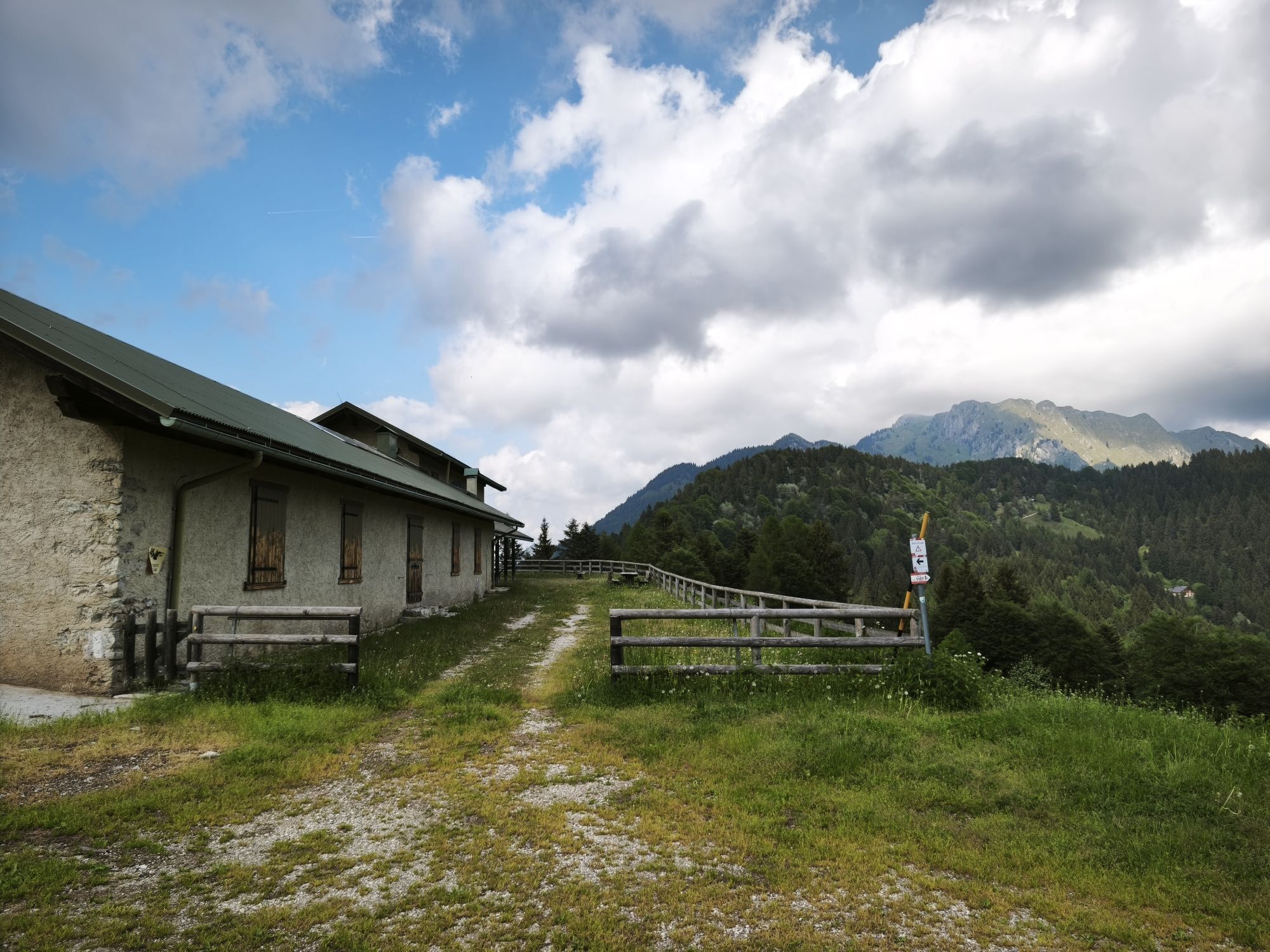
The ascent on asphalt and forest road to Malga Cap is easy and at times very scenic, while from the malga the tour continues through pastures and woodland paths....
Signage: 777. Bocca Giumella Trail - Tour
The ascent on asphalt and forest road to Malga Cap is easy and at times very scenic, while from the malga the tour continues through pastures and woodland paths. The most challenging section of the route is certainly the first part of the descent from Passo Giovo, due to its steepness and its stony, uneven ground. The last section follows the course of the Rio Sacche torrent, which invites you to cool down on hot summer days!

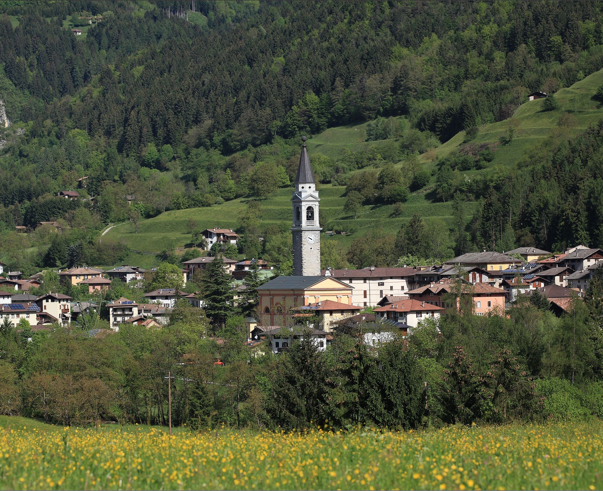
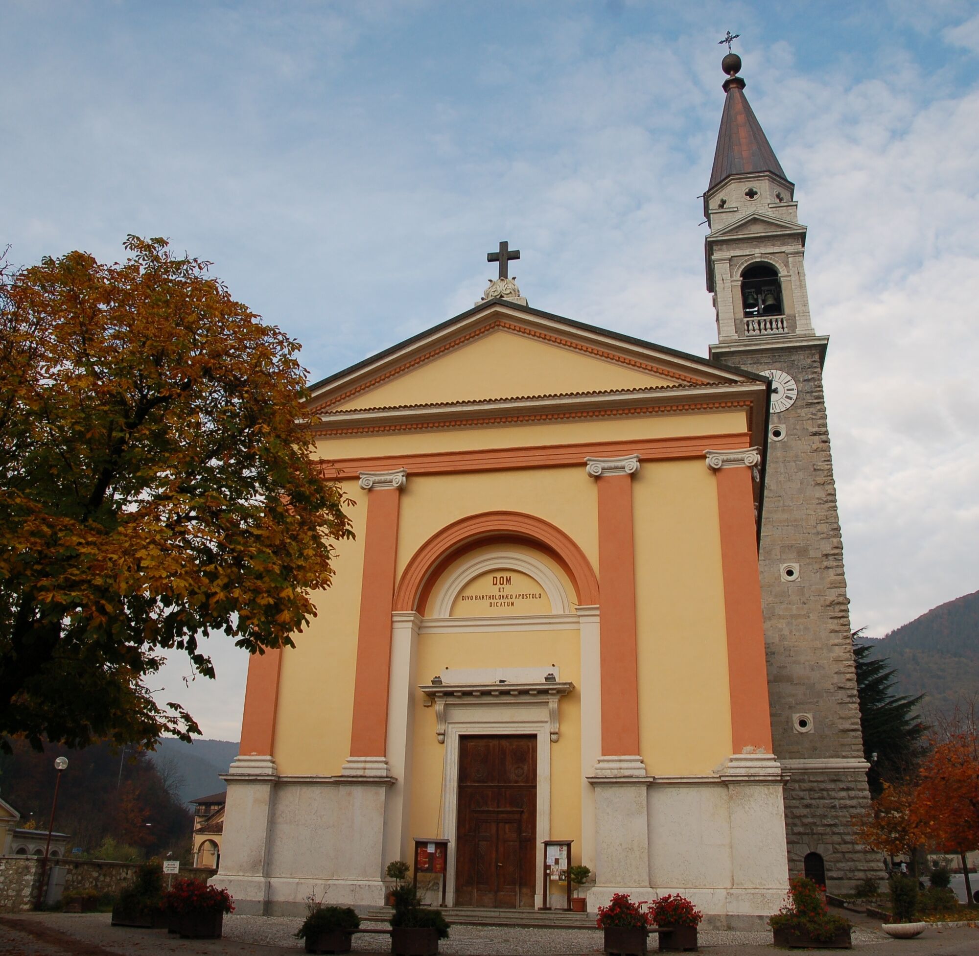
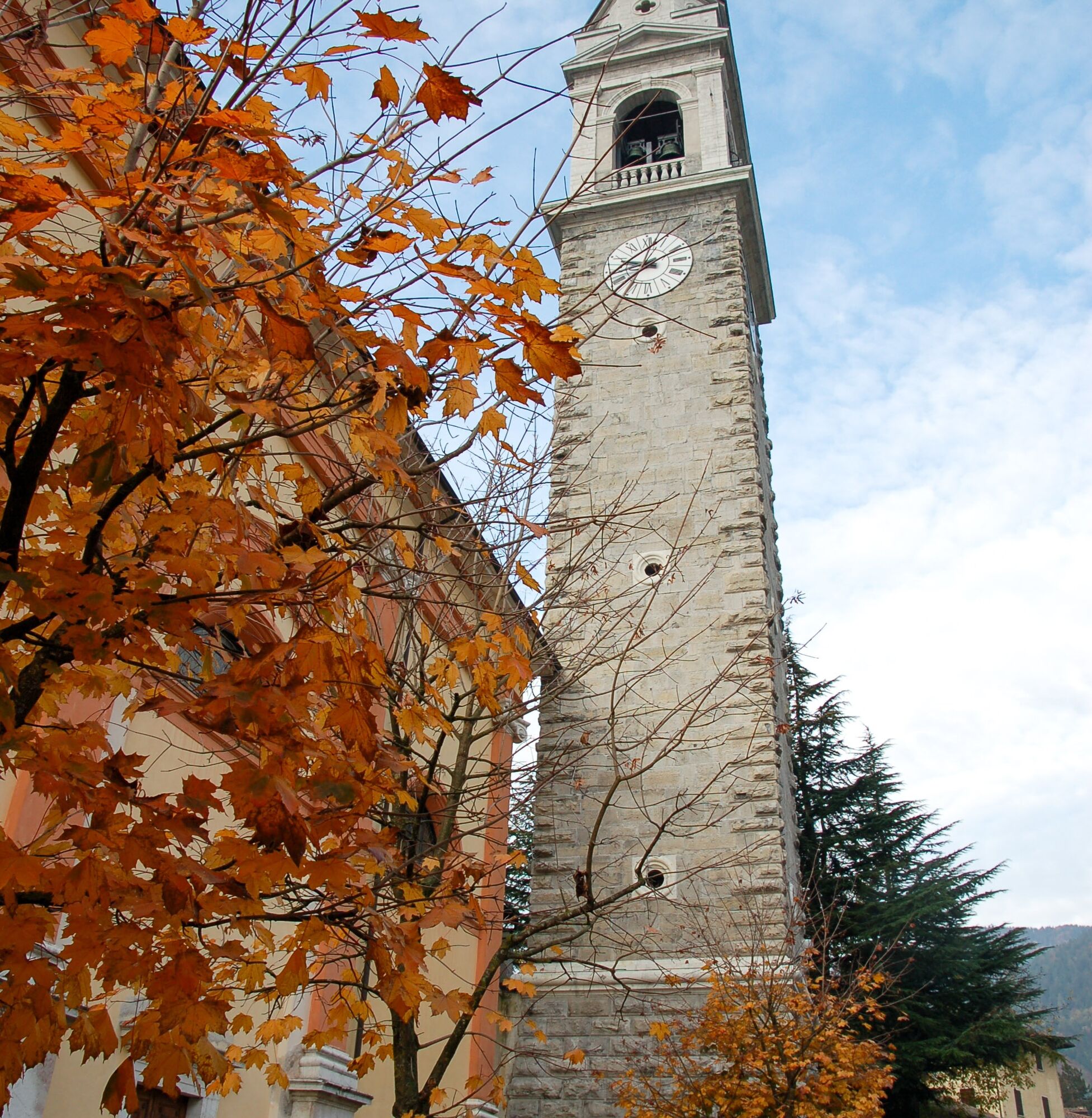
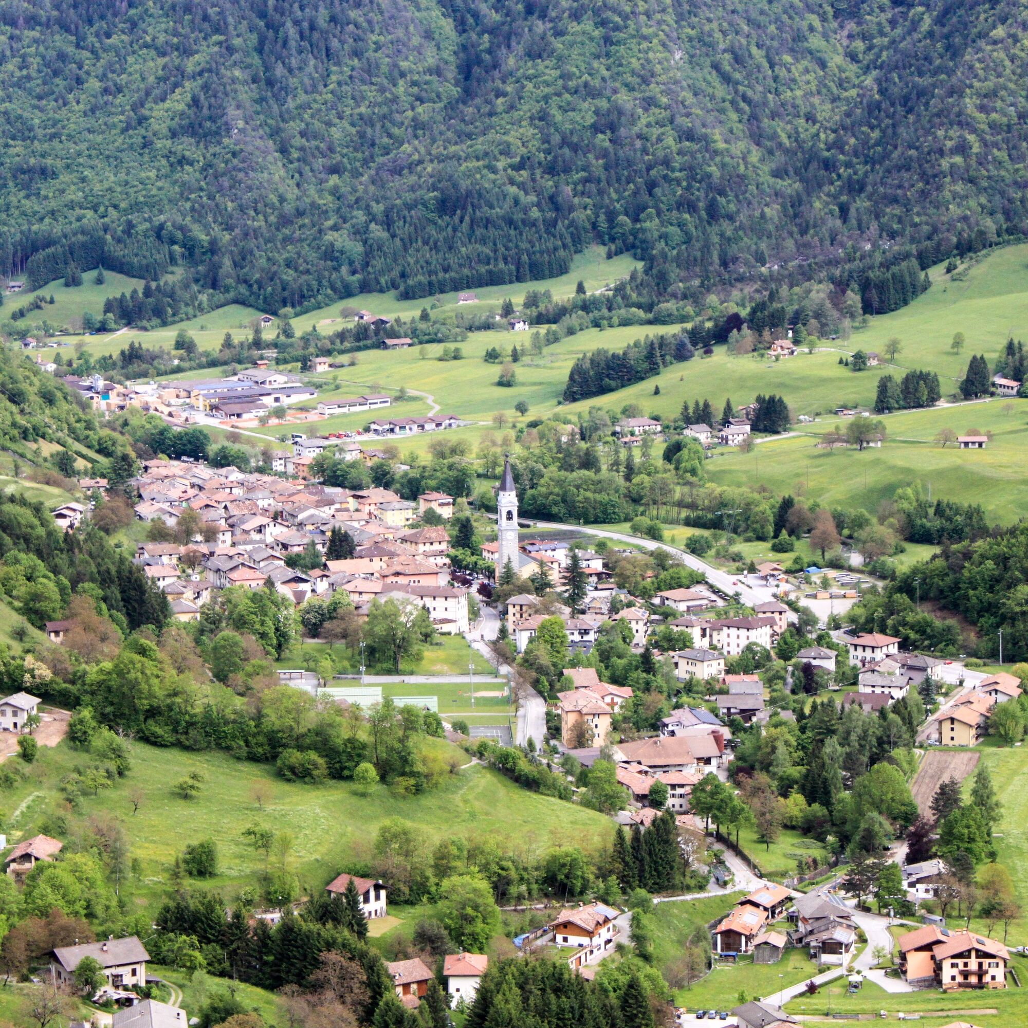
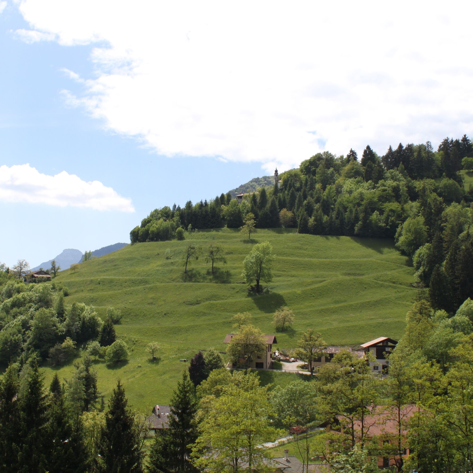
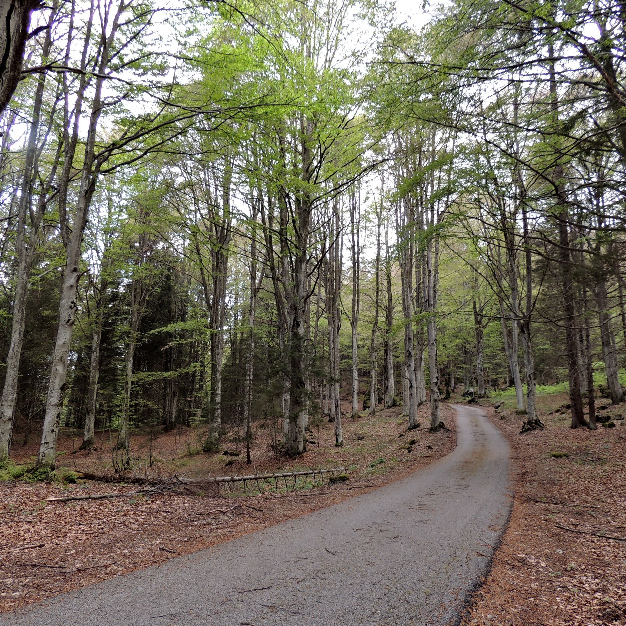
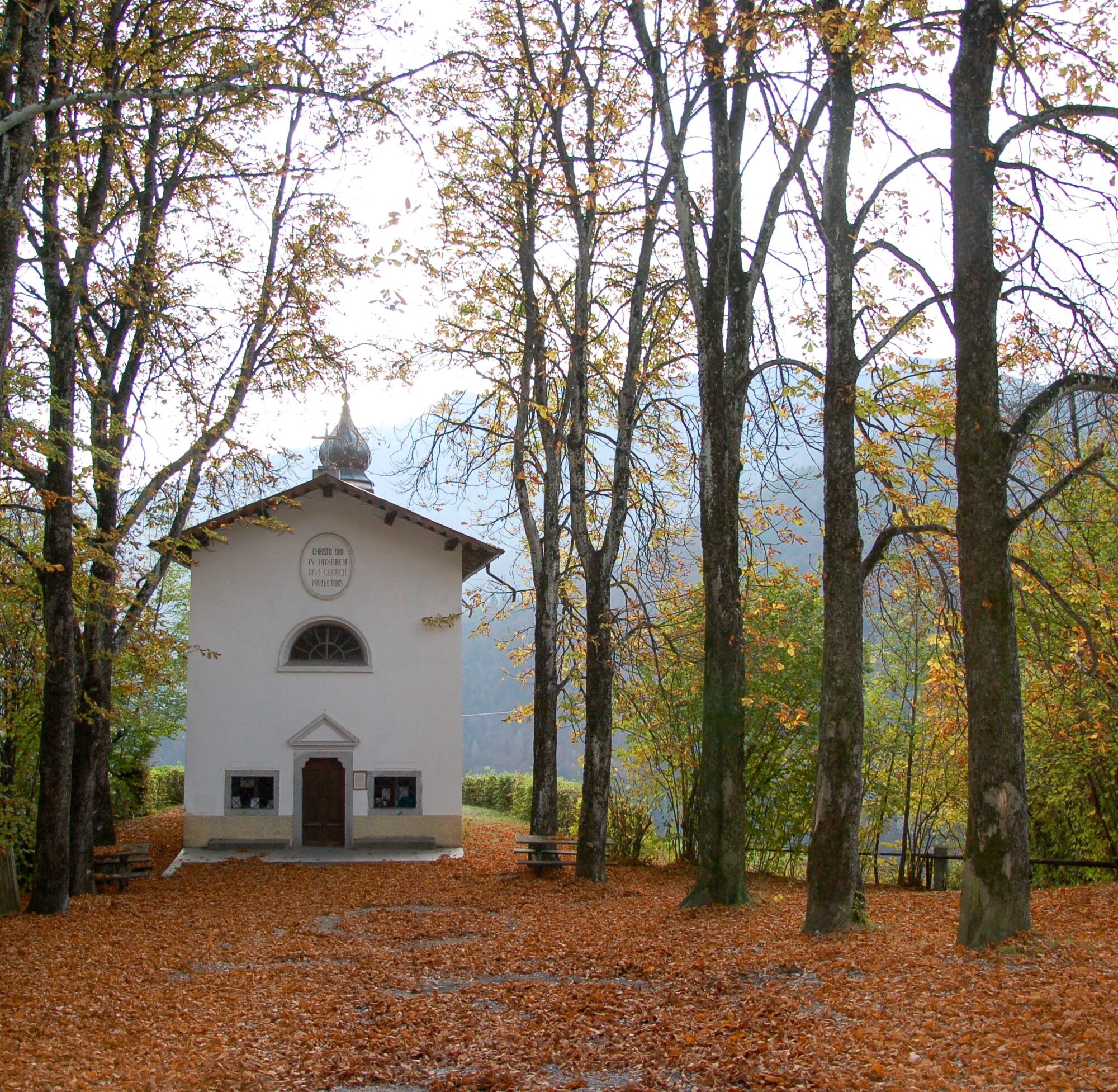
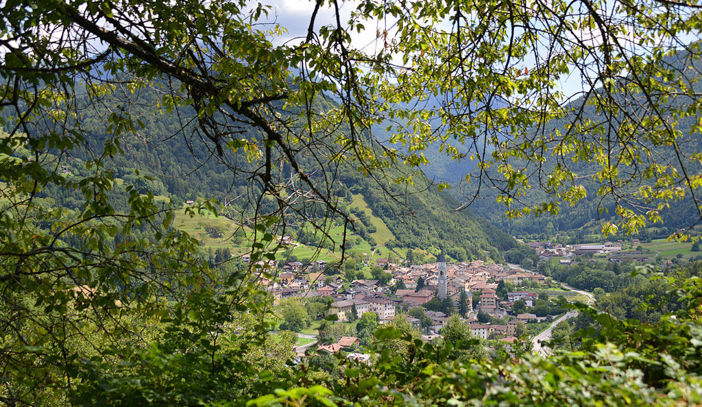
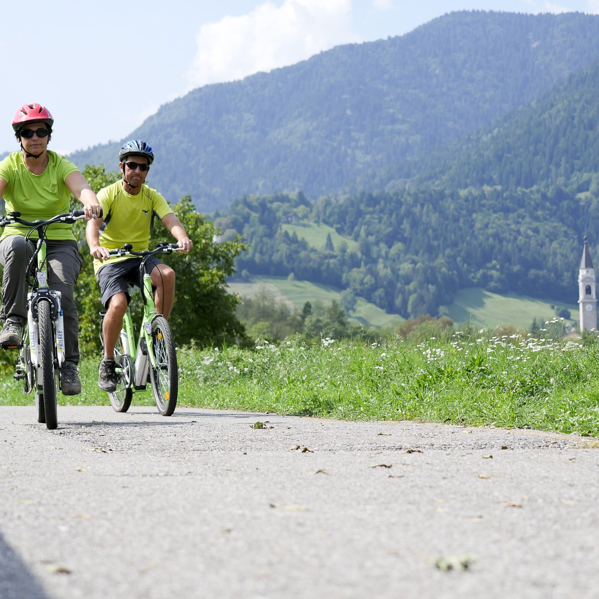
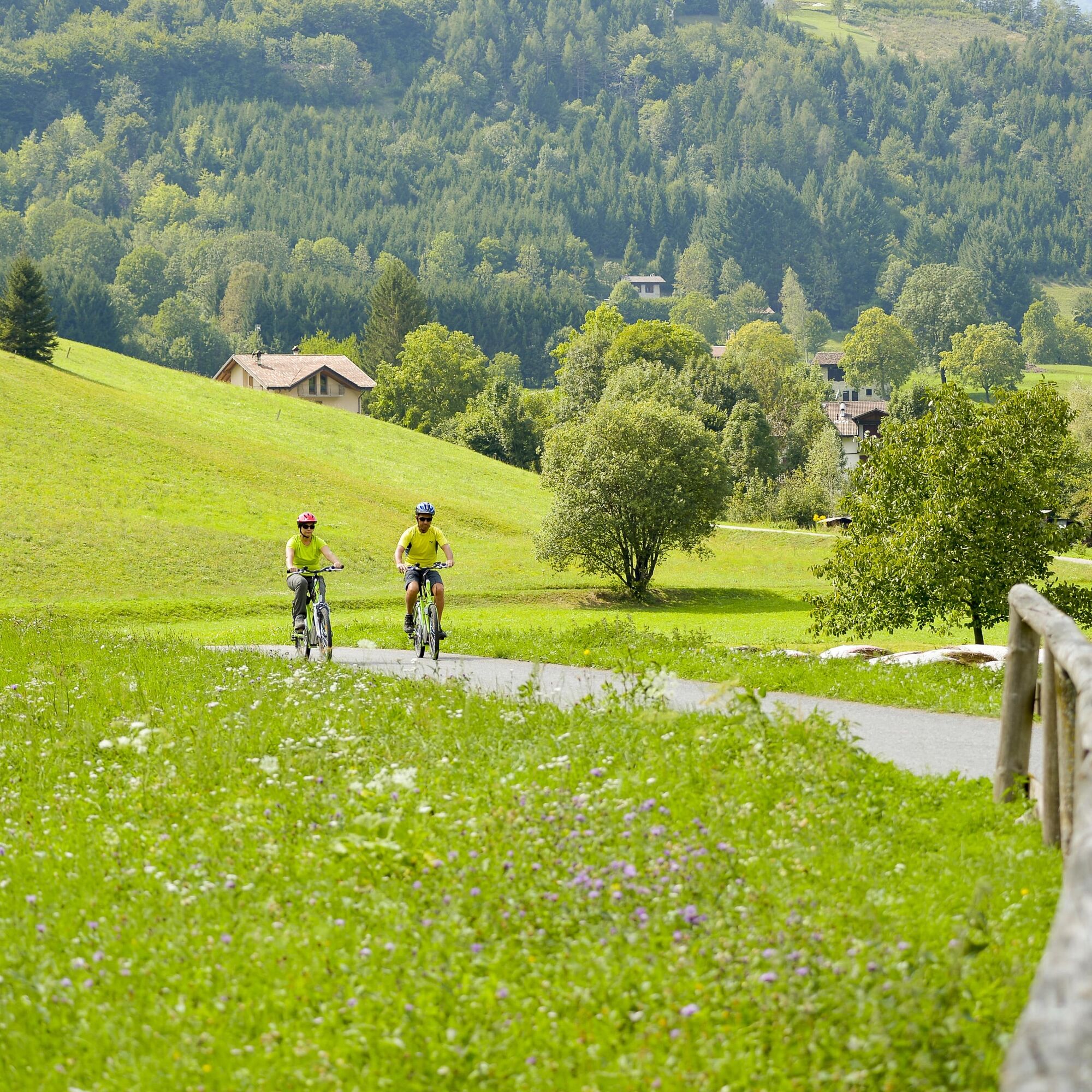
Beginning at the square, we skirt around the church and take Via alla Sega. At the fork, we choose the uphill road on the left, leading to the church of San Giorgio. Continuing uphill on the paved road past the church, we reach Bocca Giumella, where we turn left onto the road leading to Malga Cap. From the malga, the path proceeds through pastures (be careful not to lose sight of the trail!) before entering the woods on a designated path. Occasionally, the trail offers glimpses of the scenic Chiese Valley. Upon reaching Passo Giovo, we take the left path, which is the most challenging part of the tour, characterised by a zig-zag descent on loose stones. After less than 1 km, overcoming the toughest section, we meet the forest road that crosses the Rio Sacche valley, guiding us to Tiarno di Sopra. At the edge of the village, near the wash house, we make a right turn onto Via Brì and continue towards the state road. Crossing the road, we reach the cycle path. Continuing along the cycle path for a little over 1 km, we cross the creek and then the state road, concluding our journey back to Tiarno di Sotto via Via Roma.
Riding your bike requires specific clothing and equipment, even for relatively short and easy trips. It is always better to be prepared… e.g. for bad weather or a sudden drop in your energy levels. The unexpected things are part of the fun!
Remember to thoroughly evaluate the type of route you plan on doing, the locations you intend to cross and the current season. Has it been raining? Attention: The paths may be slippery and require more caution.
What do I need to bring on my bike tour?
An adequate water supply according to your needs (considering temperature, possibility of refuelling and duration of the route) Plenty of snacks (for example, dried fruit or energy bars) Waterproof / Windproof jacket A spare top / spare socks (Descending in a sweaty garment, will make you cold). Suncream Sunglasses Bike gloves/mitts Map or GPS device Bike lights: best placed on your helmet or handlebars. (It is always best to be prepared) Bike repair kit for punctures and mechanical breakdowns First aid kit Emergency whistleIt is always advised to let someone know where you plan to go and how long you expect to be.
Emergency telephone number 112.
ITRS - International Trail Rating System
The ITRS is an objective way to assess trails and routes from a biker’s perspective, evaluating four aspects:
Technical Difficulty: riding skill level needed Endurance: combined effect of length, uphill and downhill Wilderness: amount of planning required based on mobile phone reception, rescue options, water supply and wildlife Exposure: consequences of a fallDiscover more about the ITRS system and check the classification of this tour in the photo gallery.
Safety Tips
Always wear your helmet. Plan your ride. You share the trail with other users. Yield right of way to hikers. Let your speed be determined by your experience. Ride slowly on crowded trails, overtake with politeness and respect. Cycle only on authorized and open trails. Avoid muddy trails in order not to damage them further. Respect public and private property. Always be self-sufficient. Do not cycle solo in remote areas.This information is subject to inevitable variations, so none of these indications are absolute. It is not entirely possible to avoid giving inexact or imprecise information, given how quickly environmental and weather conditions can change. For this reason, we decline any responsibility for changes which the user may encounter. In any case, it is advisable to check environment and weather conditions before setting out.
Find out how to reach Garda Trentino.
Valle di Ledro is connected to Riva del Garda by the intercity bus line 214 (Riva-Valle di Ledro-Storo).
Up-to-date information on timetables and routes.
Parking in Piazza San Giovanni Bosco in Tiarno di Sotto, in front of the church.
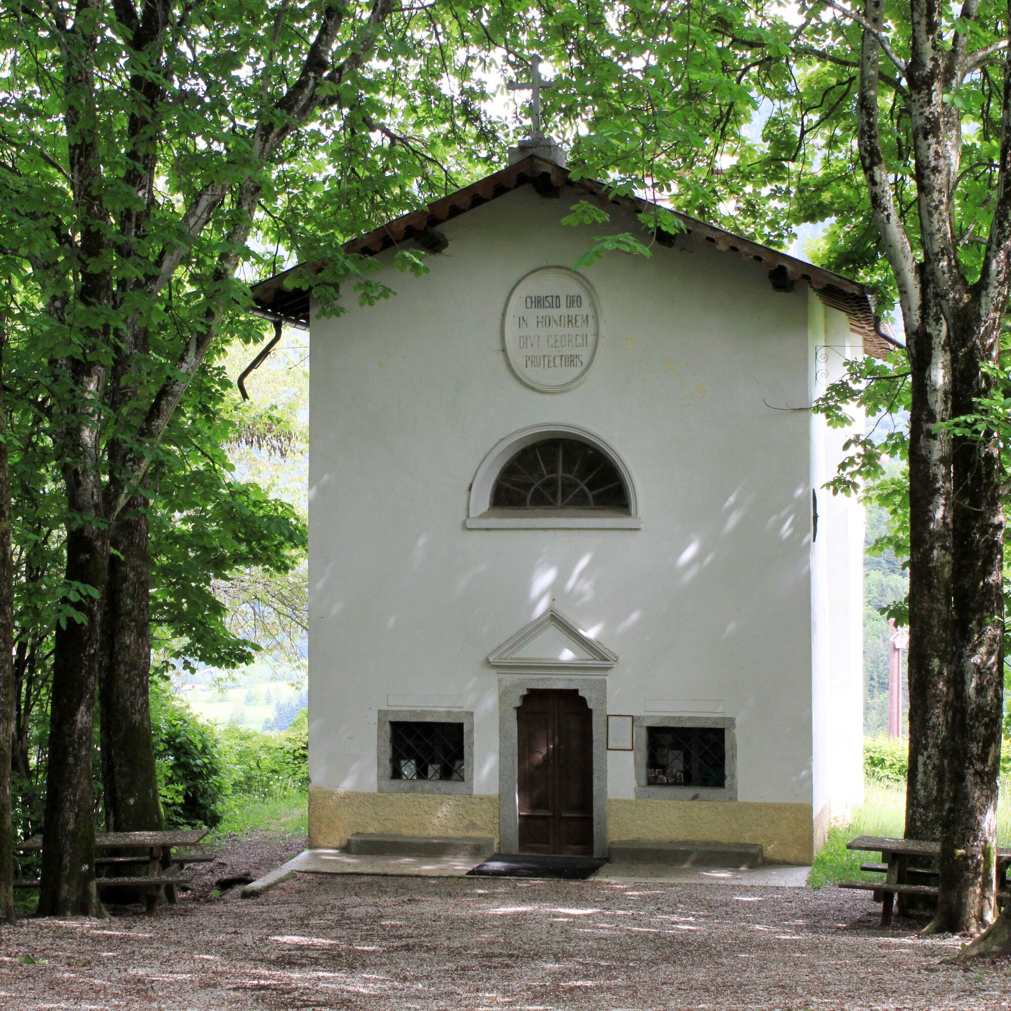
The little church of San Giorgio, with its onion dome, is an excellent photo point!

Popularne wycieczki w okolicy
-
5,0
Bastione and Santa Barbara, the lords of Riva del Garda
średniWędrówka 2,94 km -
5,0
Via Ferrata Signora delle Acque - Rio Ruzza
ciężkiVia ferrata 5,32 km -
4,8
Bocca Fortini - Tour
ciężkiMountainbike 35,4 km -
4,7
Via Ferrata Fausto Susatti - Cima Capi (from Ledro)
średniVia ferrata 7,11 km -
4,6
Via Ferrata delle Laste e Gallerie di Cima Rocca
światłoVia ferrata 6,38 km -
4,9
Via Ferrata dell’Amicizia - Cima SAT
średniVia ferrata 4,41 km -
4,5
Walking around Lake Ledro
światłoWędrówka 9,40 km -
4,4
Tremalzo Big - Tour
ciężkiMountainbike 45,6 km -
4,8
Tremalzo Garda XXL - Tour
ciężkiMountainbike 66,6 km -
4,8
Ponale Path (from Ledro)
średniWędrówka 10,8 km
Wędrówki i tropienie


Nie przegap ofert i inspiracji na następne wakacje
Twój adres e-mail została dodana do listy mailingowej.