


Lago di Ledro - Tour


Signage: 729. Lago di Ledro - Tour
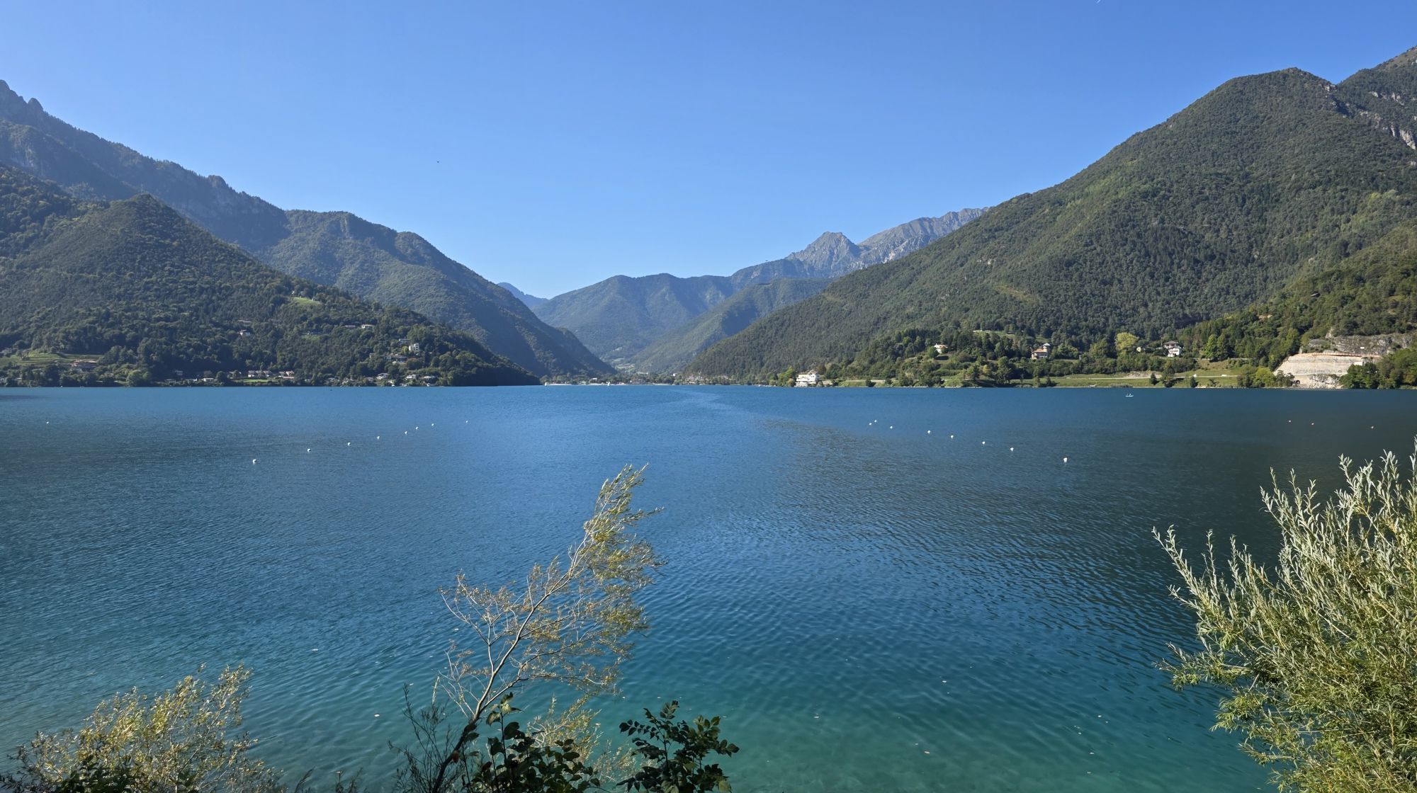
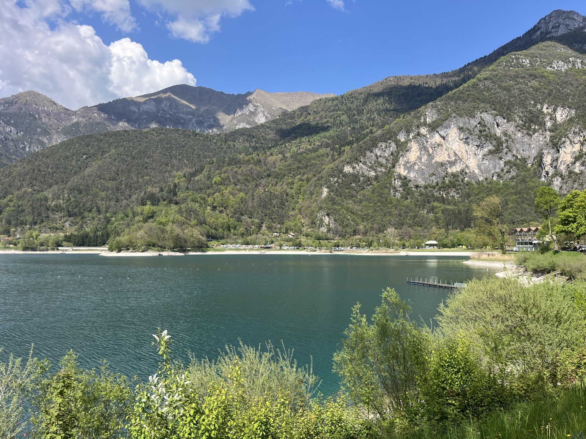
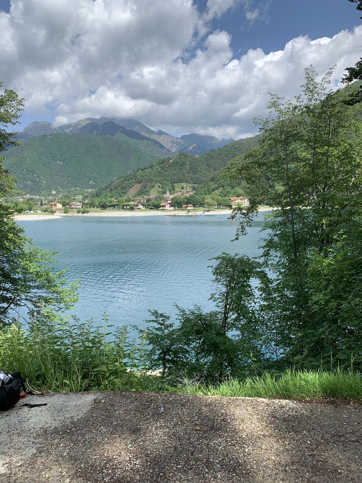
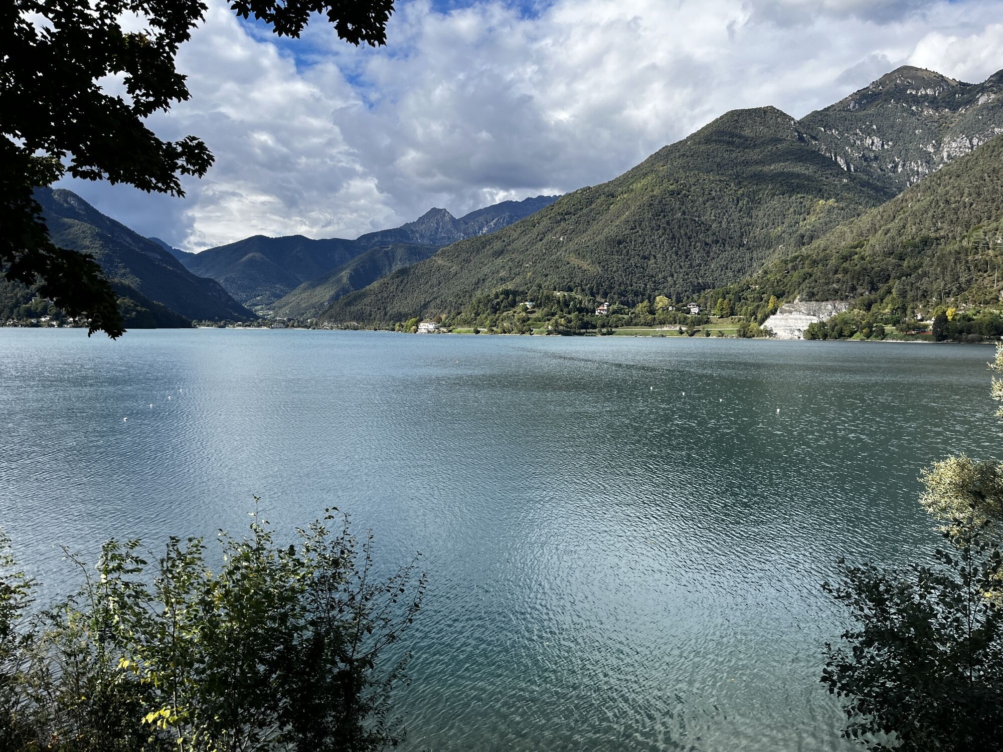
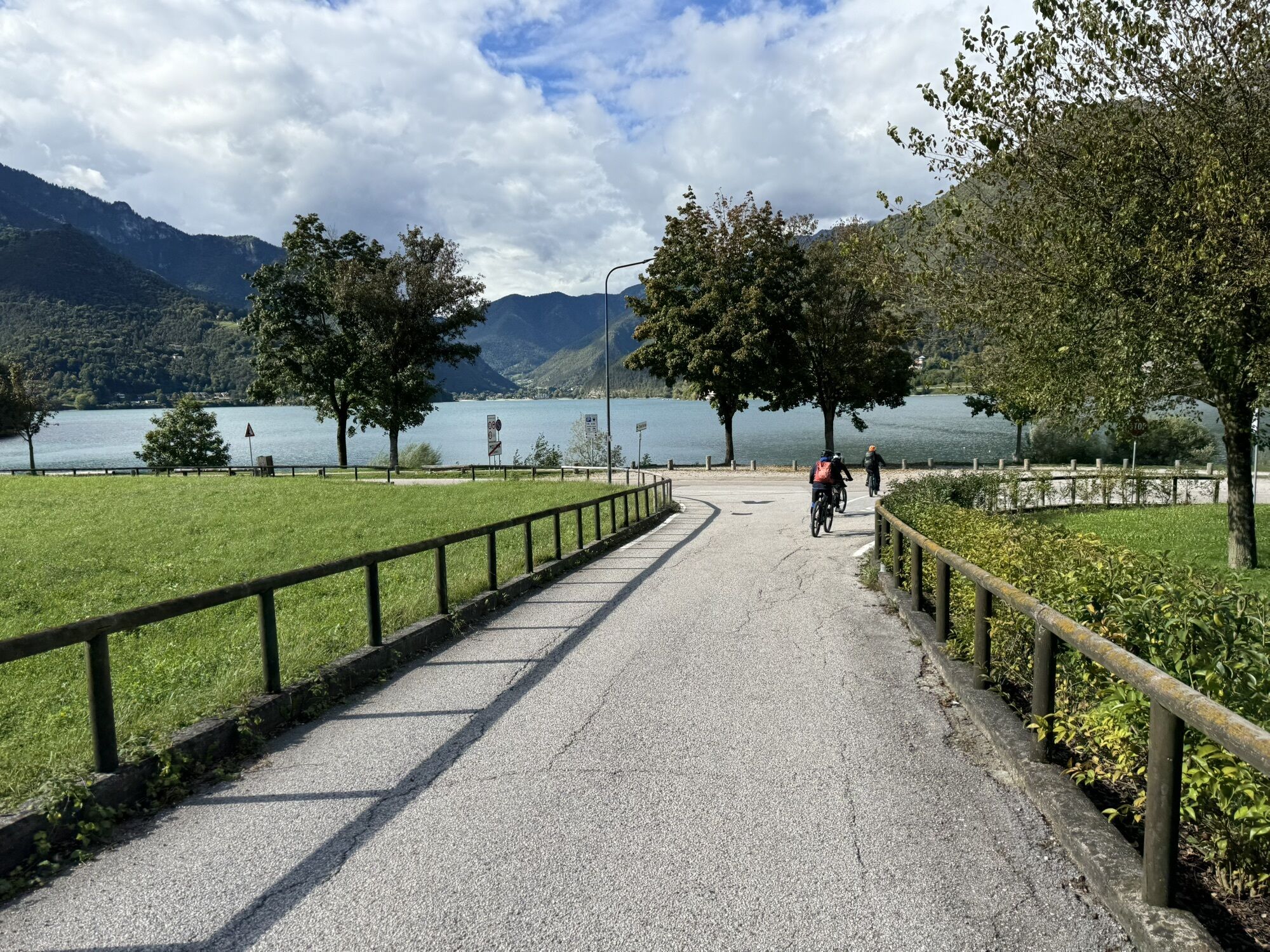
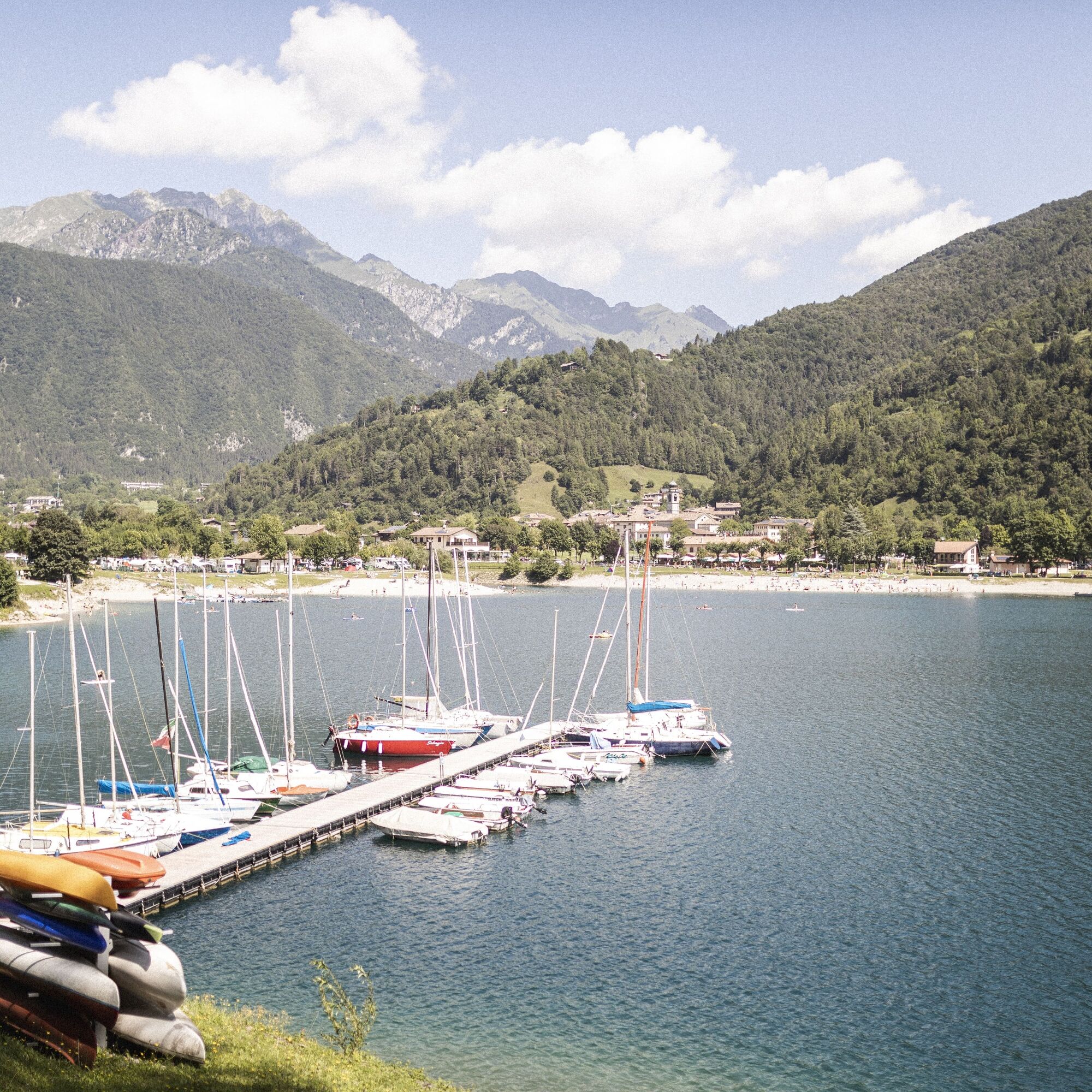
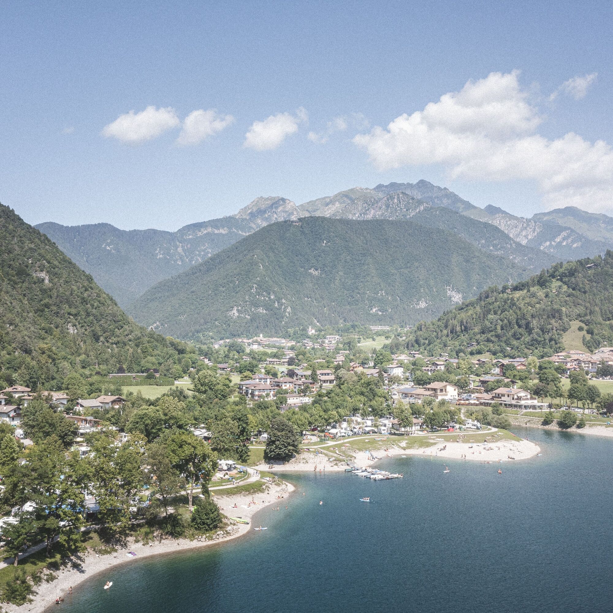
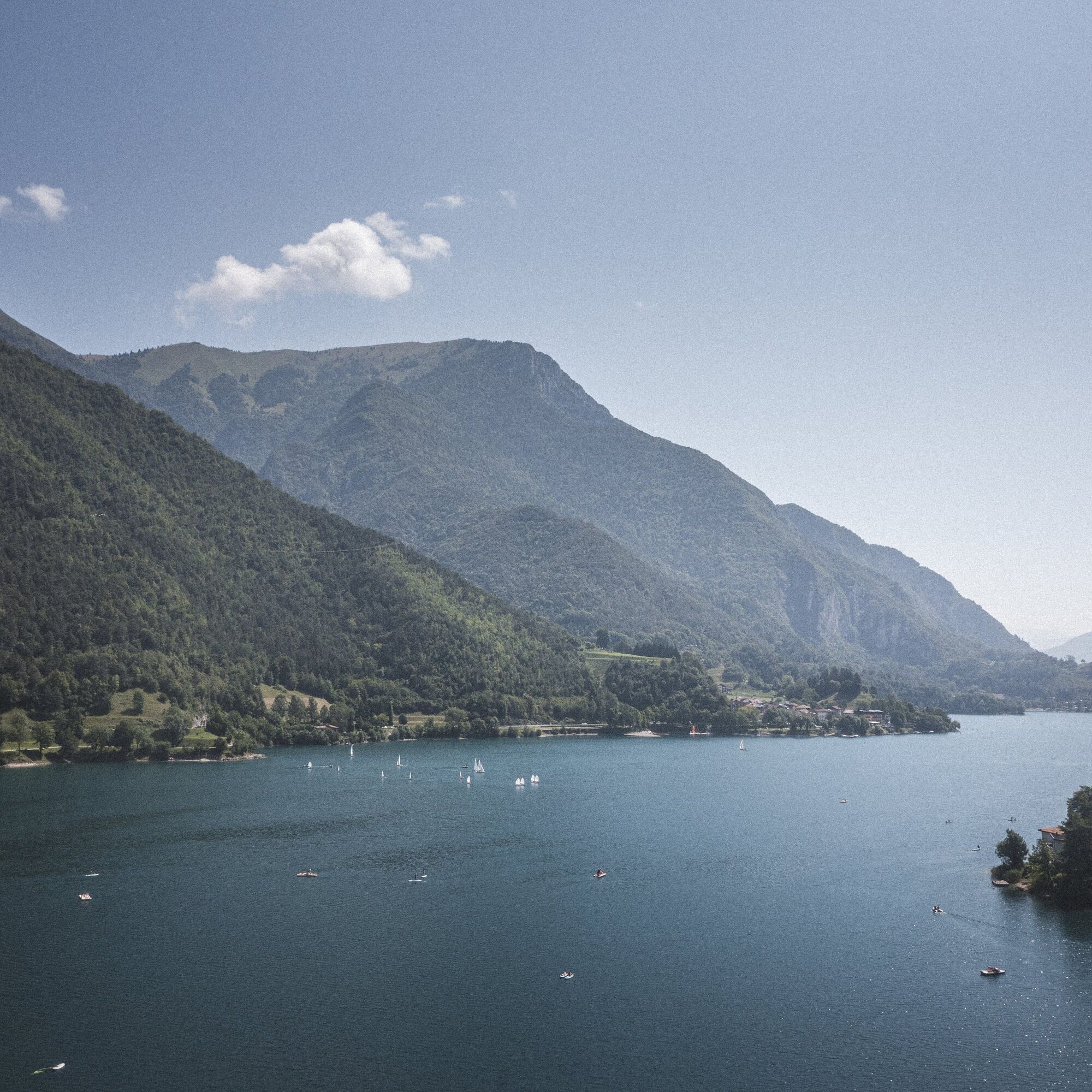
The tour coincides for the most part with the circuit around Lake Ledro, which unfolds on paved roads and cycle paths. The sparkling blue lake is an open-air museum and...
Signage: 729. Lago di Ledro - Tour
The tour coincides for the most part with the circuit around Lake Ledro, which unfolds on paved roads and cycle paths. The sparkling blue lake is an open-air museum and an adventure park and offers countless opportunities for a pleasant stopover. The easy and wooded stretch on the Coste di Bariolo provides plenty of viewpoints to admire the lake from above without having to face too steep a climb.
Variants: 729a. Variante Dromaé


From the car park beside the information office in Pieve, we cross the main road and take Via Cassoni. Having reached the wayside shrine, we turn left into Via Rabaglia and after about a hundred metres turn left again, following the signs for Val Concei. The tarmac road becomes rideable after about 300 m and then continues for 1 km before rejoining the main road just before Locca. After 400 m we turn right and take the uphill climb on Via del Casel, at the end of which we turn right again into Via San Marco. We continue straight ahead and soon the tarmac road gives way to the Coste di Bariolo forest road, which winds its way uphill for about 3 km without any technical difficulties and then descends to the village of Alla Valle, where the tarmac road begins again.
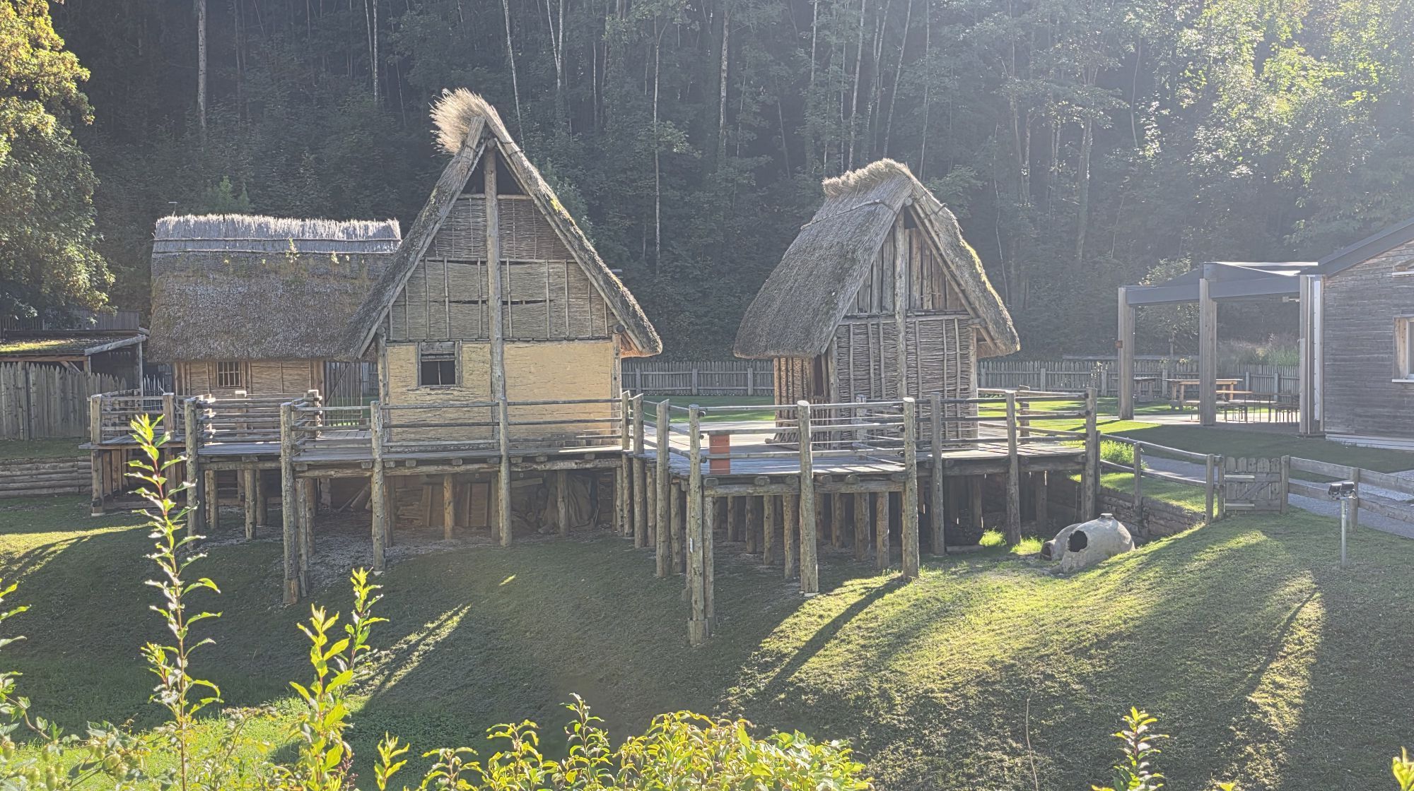
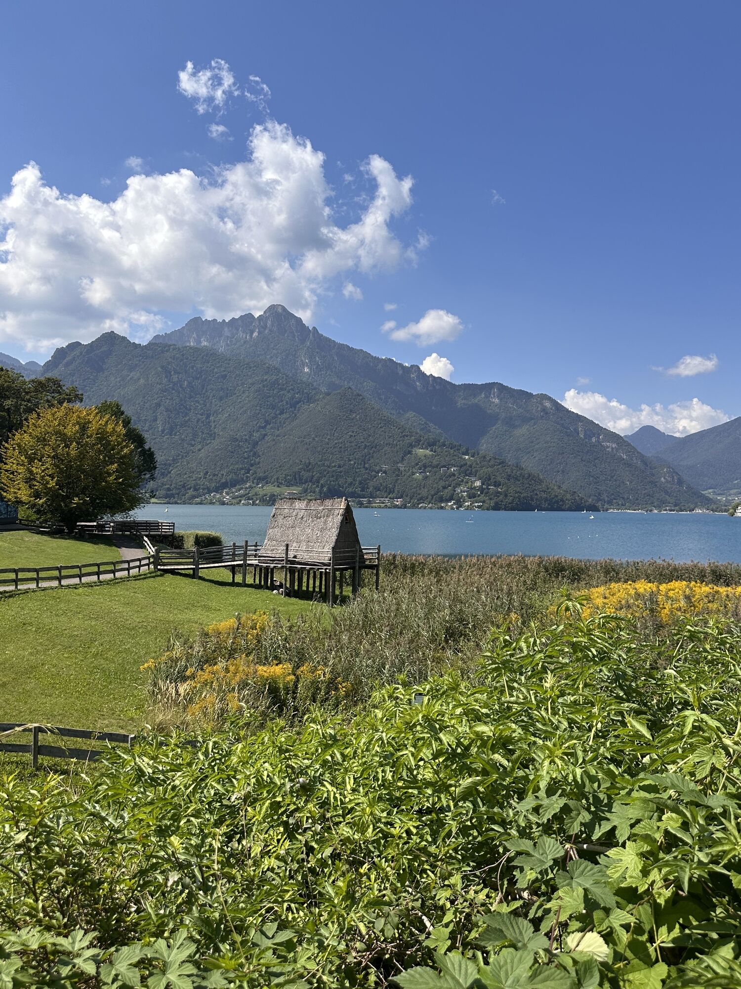
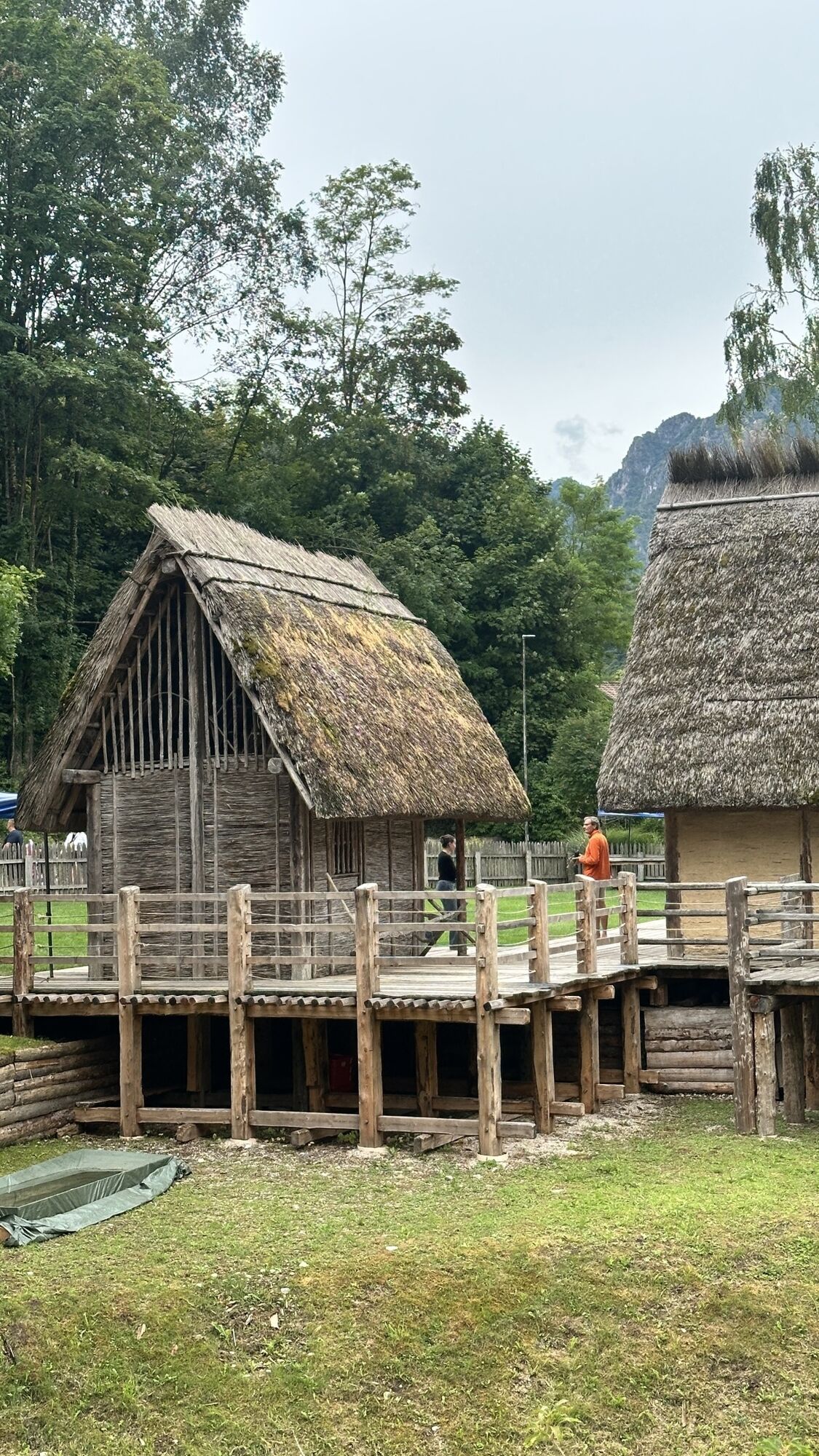
From here we continue our descent along Via Dromaé to the village of Mezzolago (or alternatively we can turn right and follow route 729a. Variante Dromaé). Just past the church we turn left into Via Belvedere, which soon rejoins the main road. We follow the main road in the direction of Molina for about 1 km and turn right at the pile dwellings and continue skirting the lake along Via al Lago and Via Val Maria as far as Pur. At the crossroads we keep to the right, pass the beach and continue along Via Mal Maria. After about 1 km, at a hairpin bend, we take the cycle path on the right, which leads to the Pieve sailing club. From here we continue along Via Alzer and turn left at the first opportunity to rejoin the cycle path. This briefly rejoins Via Alzer and then turns left and runs alongside the stream for 1 km, after which it rejoins Via Imperiale. We turn right to return to our starting point.
Riding your bike requires specific clothing and equipment, even for relatively short and easy trips. It is always better to be prepared… e.g. for bad weather or a sudden drop in your energy levels. The unexpected things are part of the fun!
Remember to thoroughly evaluate the type of route you plan on doing, the locations you intend to cross and the current season. Has it been raining? Attention: The paths may be slippery and require more caution.
What do I need to bring on my bike tour?
An adequate water supply according to your needs (considering temperature, possibility of refuelling and duration of the route) Plenty of snacks (for example, dried fruit or energy bars) Waterproof / Windproof jacket A spare top / spare socks (Descending in a sweaty garment, will make you cold). Suncream Sunglasses Bike gloves/mitts Map or GPS device Bike lights: best placed on your helmet or handlebars. (It is always best to be prepared) Bike repair kit for punctures and mechanical breakdowns First aid kit Emergency whistleIt is always advised to let someone know where you plan to go and how long you expect to be.
Emergency telephone number 112.
ITRS - International Trail Rating System
The ITRS is an objective way to assess trails and routes from a biker’s perspective, evaluating four aspects:
Technical Difficulty: riding skill level needed Endurance: combined effect of length, uphill and downhill Wilderness: amount of planning required based on mobile phone reception, rescue options, water supply and wildlife Exposure: consequences of a fallDiscover more about the ITRS system and check the classification of this tour in the photo gallery.
Safety Tips
Always wear your helmet. Plan your ride. You share the trail with other users. Yield right of way to hikers. Let your speed be determined by your experience. Ride slowly on crowded trails, overtake with politeness and respect. Cycle only on authorized and open trails. Avoid muddy trails in order not to damage them further. Respect public and private property. Always be self-sufficient. Do not cycle solo in remote areas.This information is subject to inevitable variations, so none of these indications are absolute. It is not entirely possible to avoid giving inexact or imprecise information, given how quickly environmental and weather conditions can change. For this reason, we decline any responsibility for changes which the user may encounter. In any case, it is advisable to check environment and weather conditions before setting out.
Find out how to reach Garda Trentino.
Valle di Ledro is connected to Riva del Garda by the intercity bus line 214 (Riva-Valle di Ledro-Storo).
Parking between Via Imperiale and Via Nuova in Pieve, near the info point.
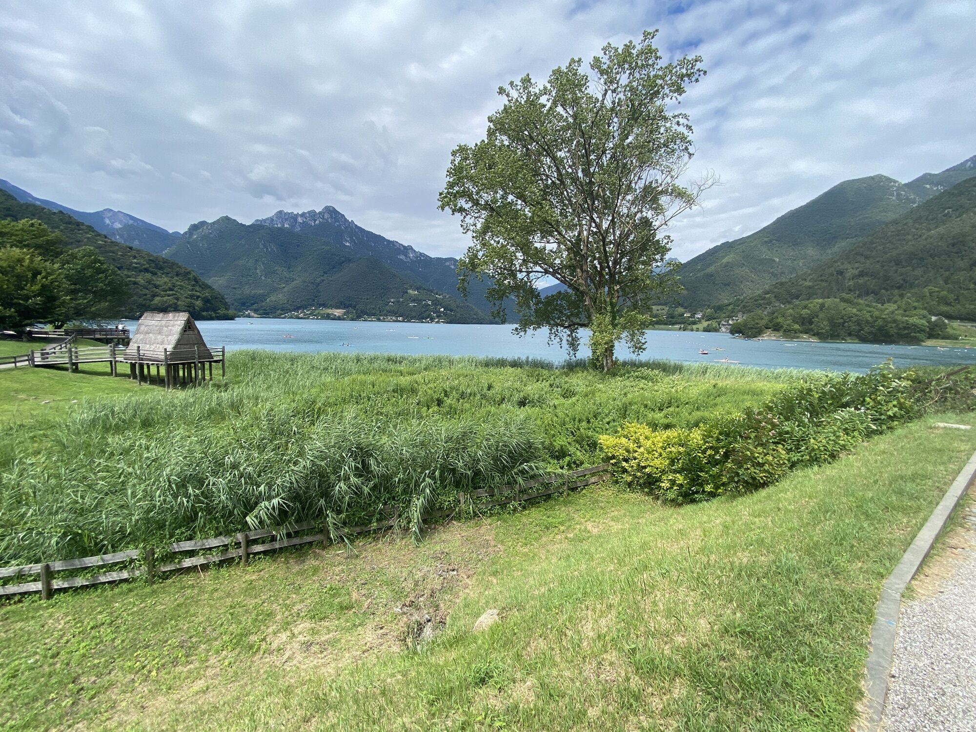
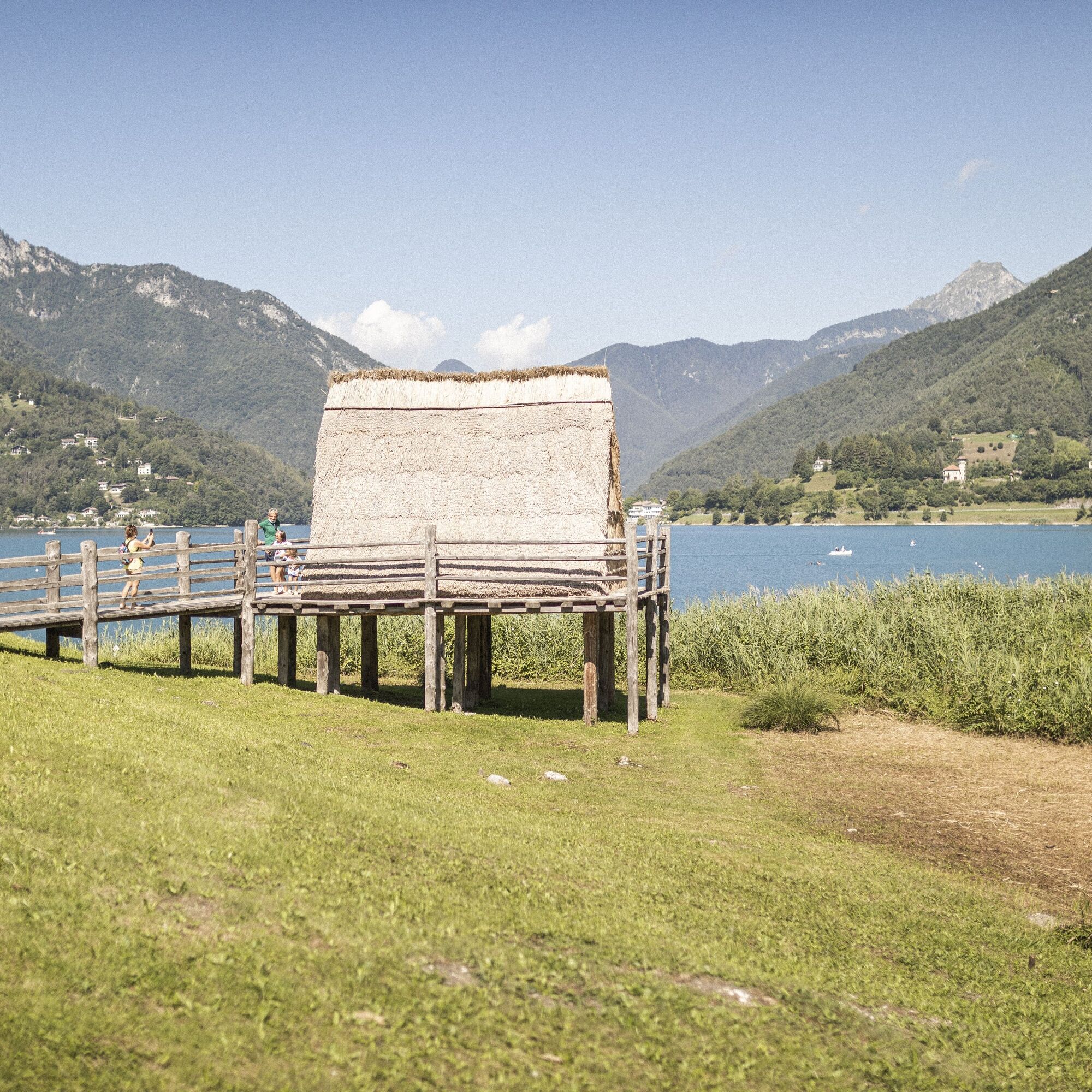
On the shores of Lake Ledro there are four convenient beaches and lots of quiet spots for swimming and relaxing! To discover the history of this beautiful lake head to the Pile Dwellings Museums in Molina, a UNESCO World Heritage Site since 2011.
Popularne wycieczki w okolicy
- 5,0
Bastione and Santa Barbara, the lords of Riva del Garda
średniWędrówka 2,94 km - 5,0
Via Ferrata Signora delle Acque - Rio Ruzza
ciężkiVia ferrata 5,32 km - 4,8
Bocca Fortini - Tour
ciężkiMountainbike 35,4 km - 4,8
Sentiero Busatte Tempesta
światłoWędrówka 7,90 km - 4,7
Via Ferrata Fausto Susatti - Cima Capi (from Ledro)
średniVia ferrata 7,11 km - 4,6
Via Ferrata delle Laste e Gallerie di Cima Rocca
światłoVia ferrata 6,38 km - 4,9
Via Ferrata dell’Amicizia - Cima SAT
średniVia ferrata 4,41 km - 4,5
Walking around Lake Ledro
światłoWędrówka 9,40 km - 4,4
Tremalzo Big - Tour
ciężkiMountainbike 45,6 km - 4,6
Colodri Klettersteig (A/B)
Via ferrata 7,50 km
Wędrówki i tropienie


Nie przegap ofert i inspiracji na następne wakacje
Twój adres e-mail została dodana do listy mailingowej.