






Monte Brione Trail-Tour
Poziom trudności: S2

Segnaletica: 770. Monte Brione Trail - Tour
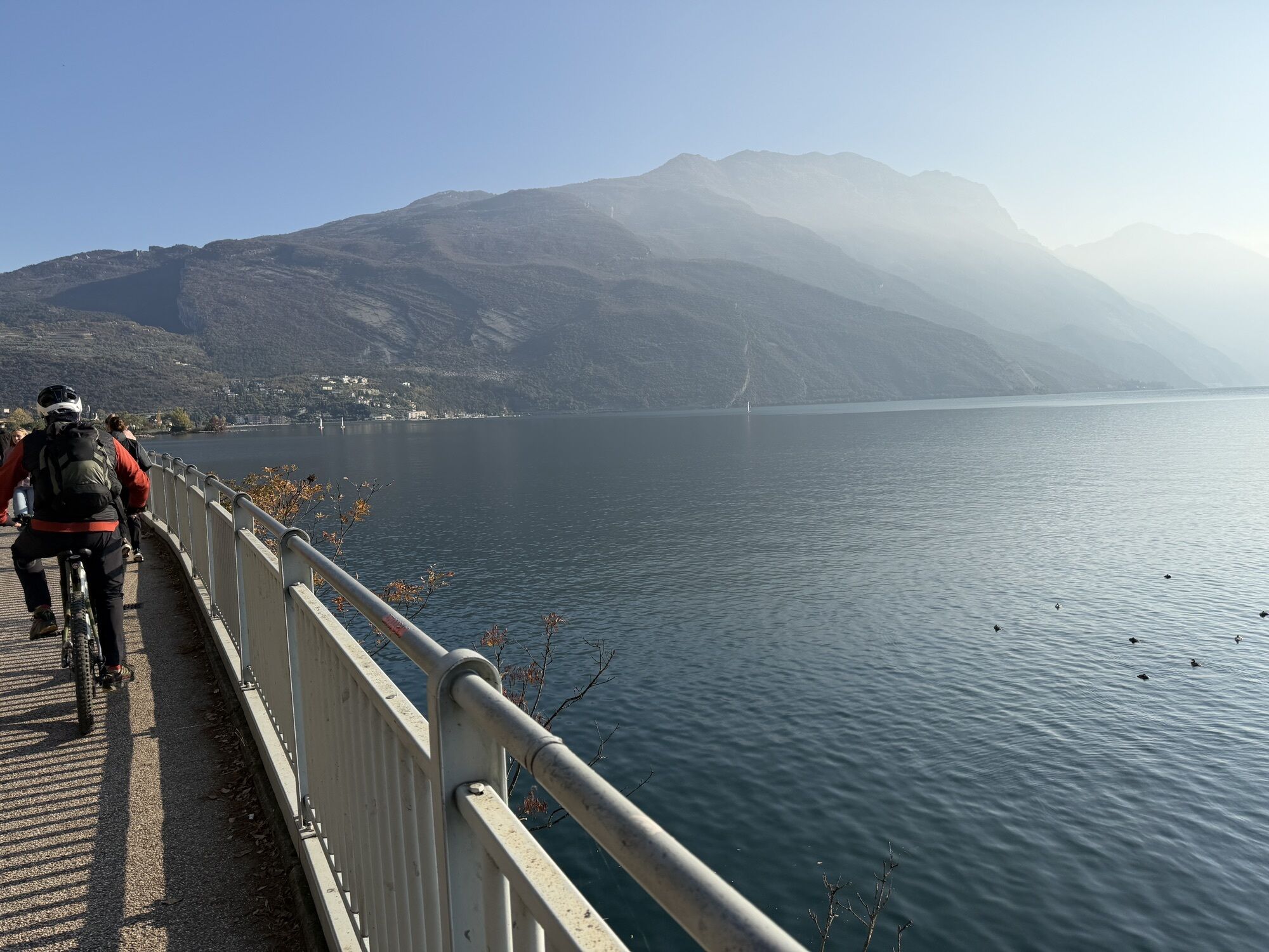
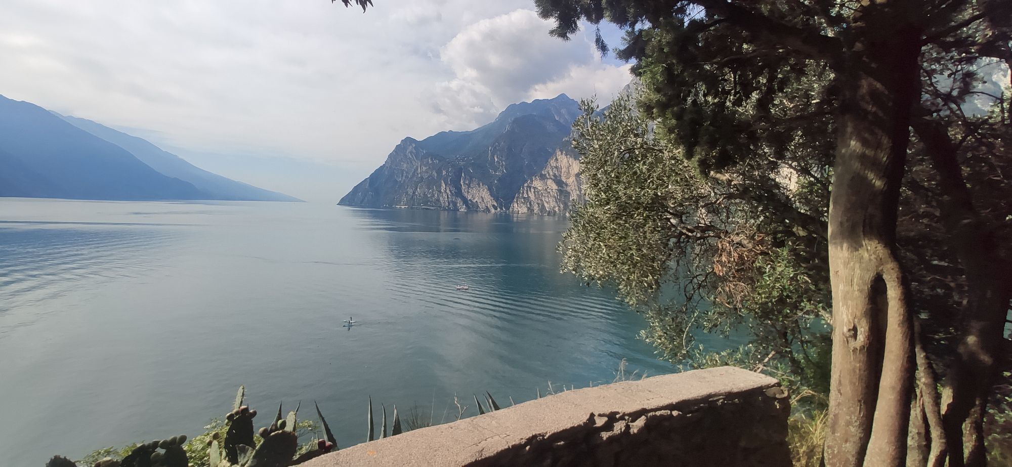
The route develops largely among olive groves, reaching one of the best historical points of interest in Alto Garda.
The proposed descent to the village of Sant’Alessandro...
Segnaletica: 770. Monte Brione Trail - Tour
The route develops largely among olive groves, reaching one of the best historical points of interest in Alto Garda.
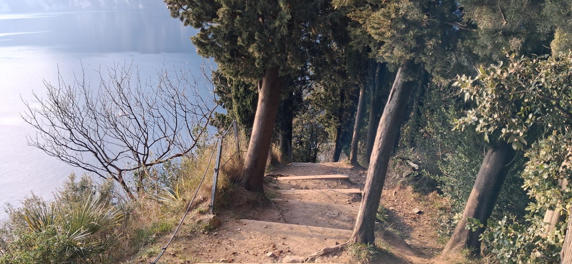
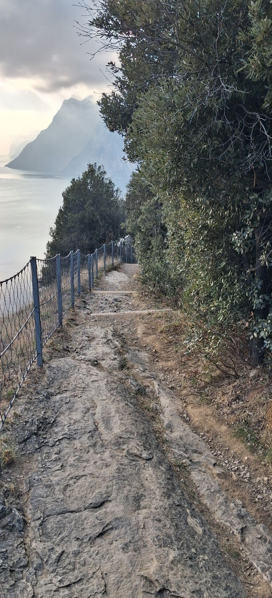
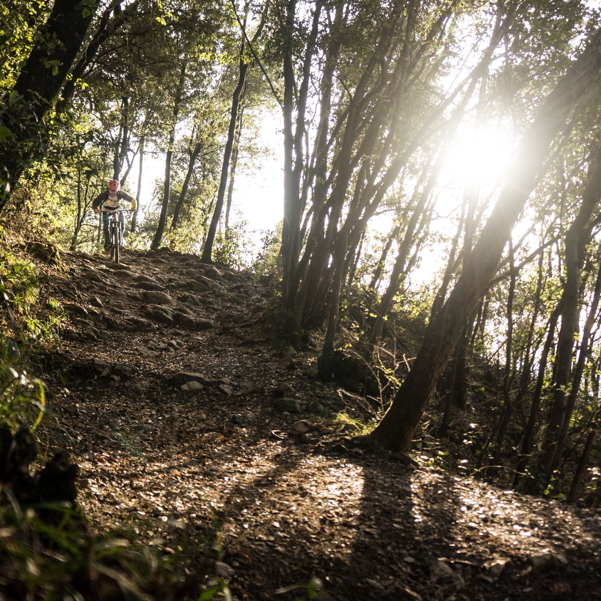
The proposed descent to the village of Sant’Alessandro itself, in its first stretch, is rather technical with steps, and some loose, fairly sized rocks. In all - the descent is approximately 300 metres, and we would advise those who aren’t confident with technical descents to ‘walk the bike’ down or simply return via the way of arrival.
If you do choose to tackle the descent, remember that this route is also frequented by many hikers, therefore please moderate your speed and give them priority.

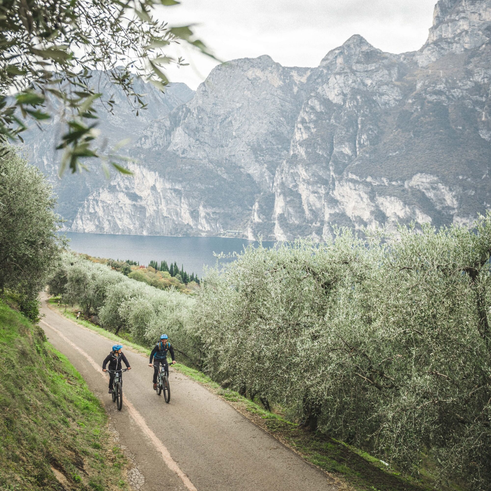
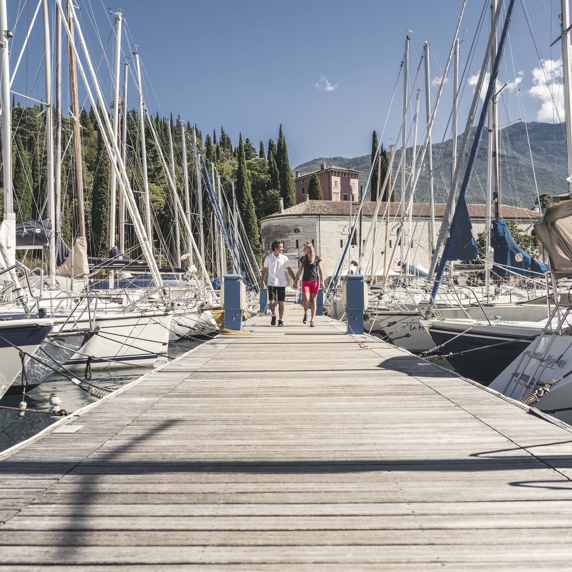
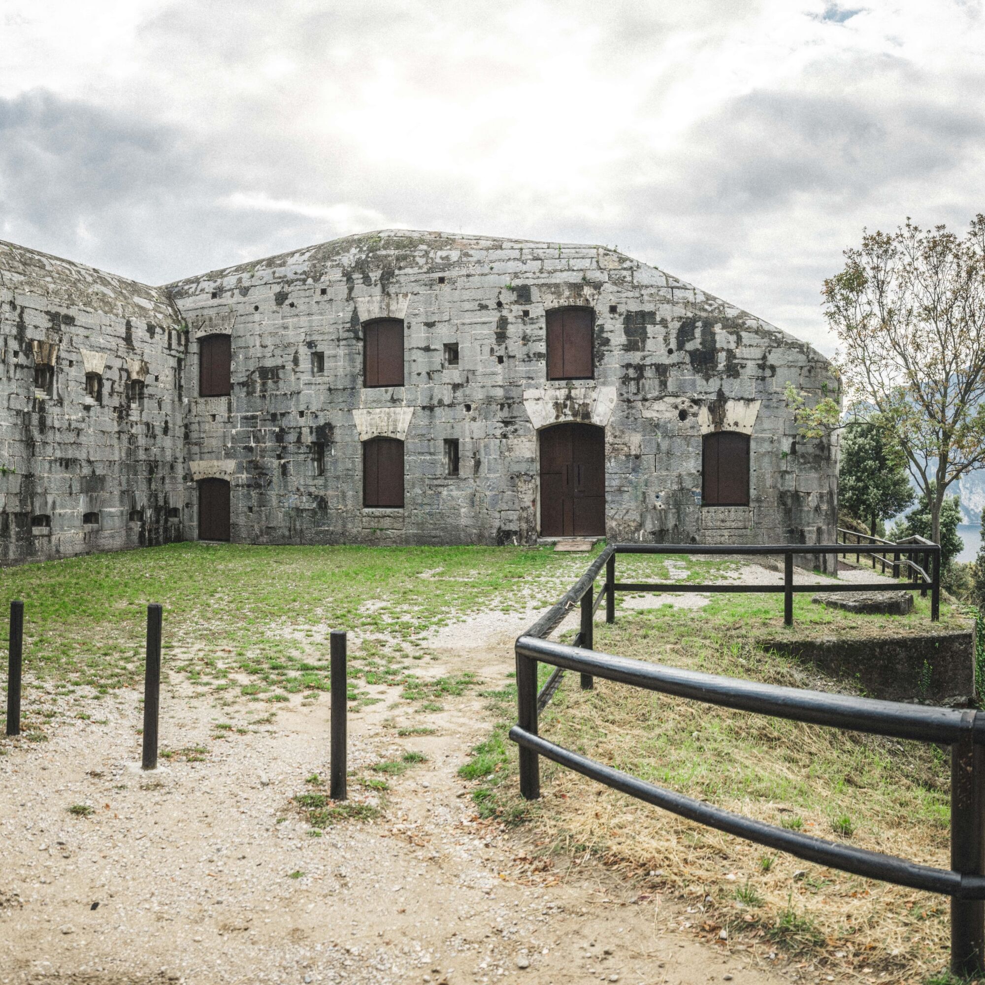
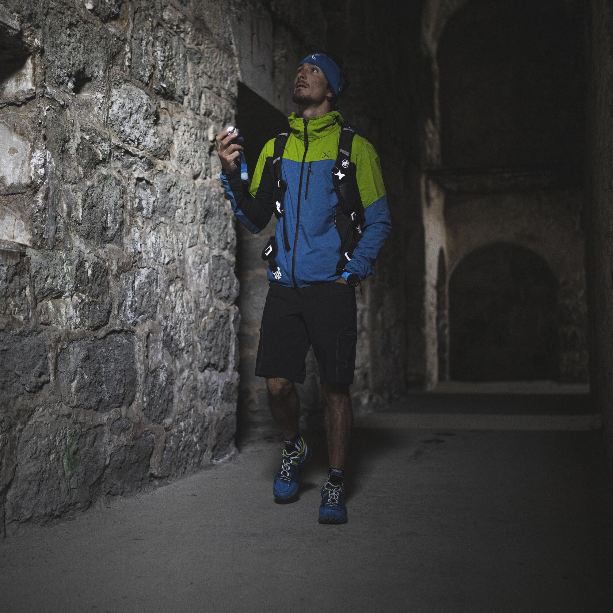
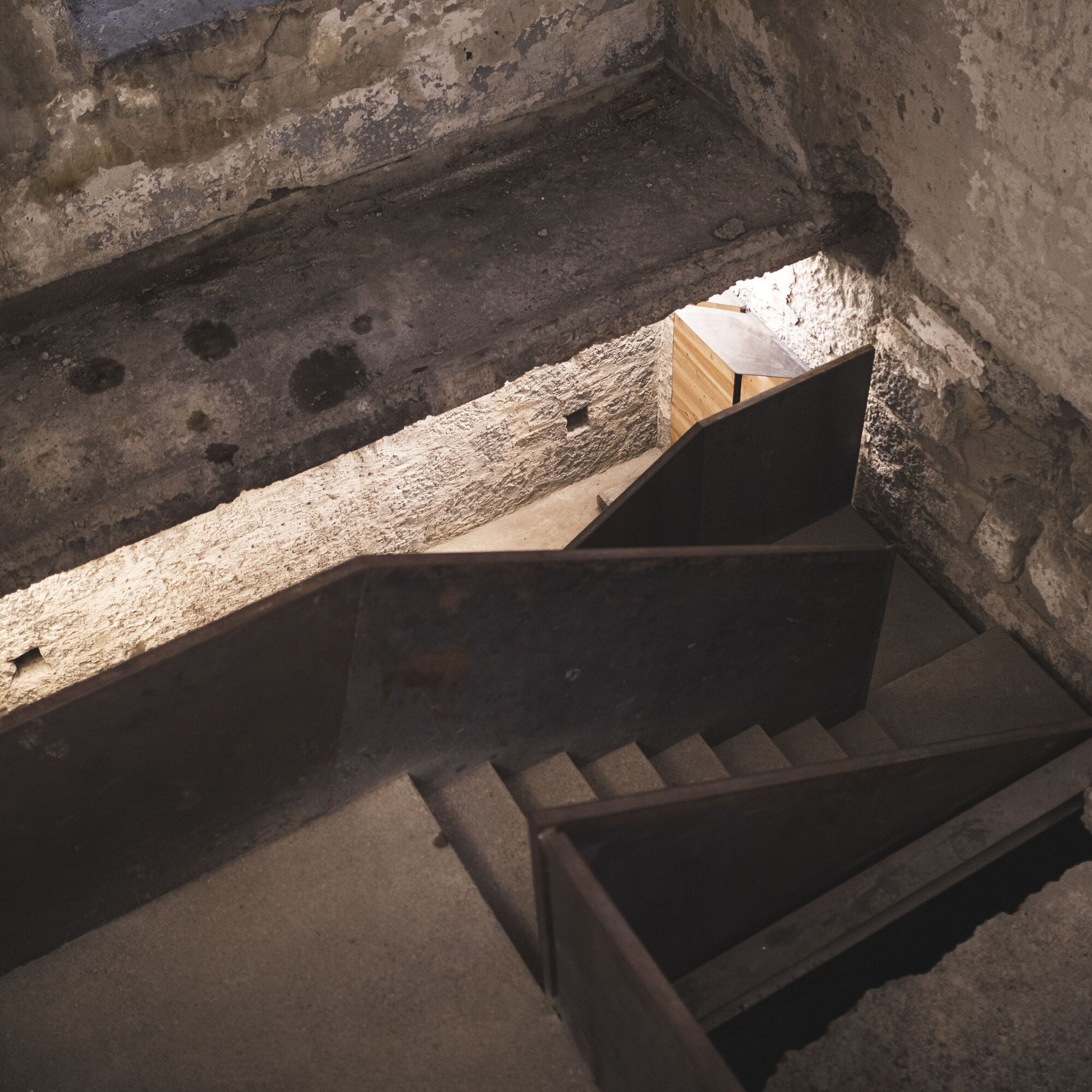
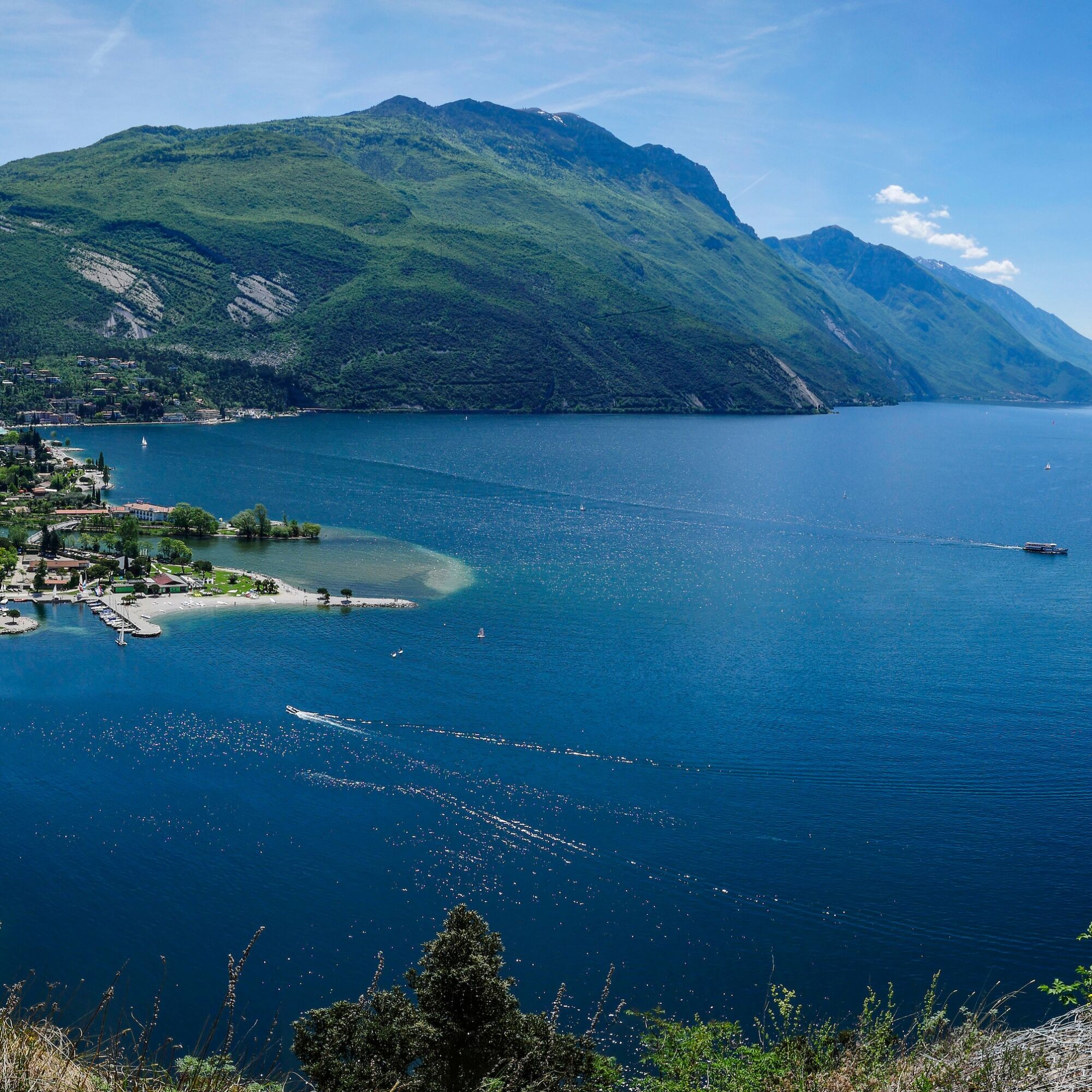


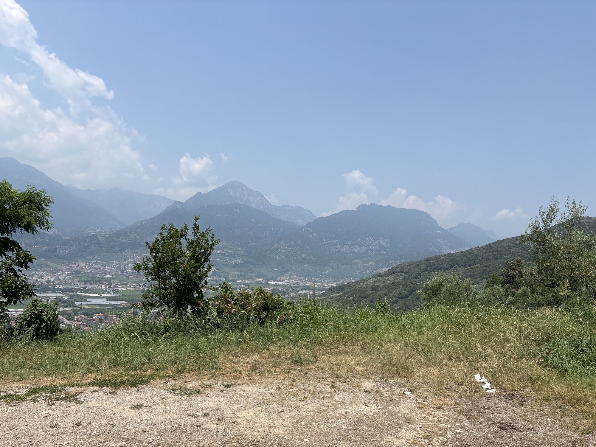
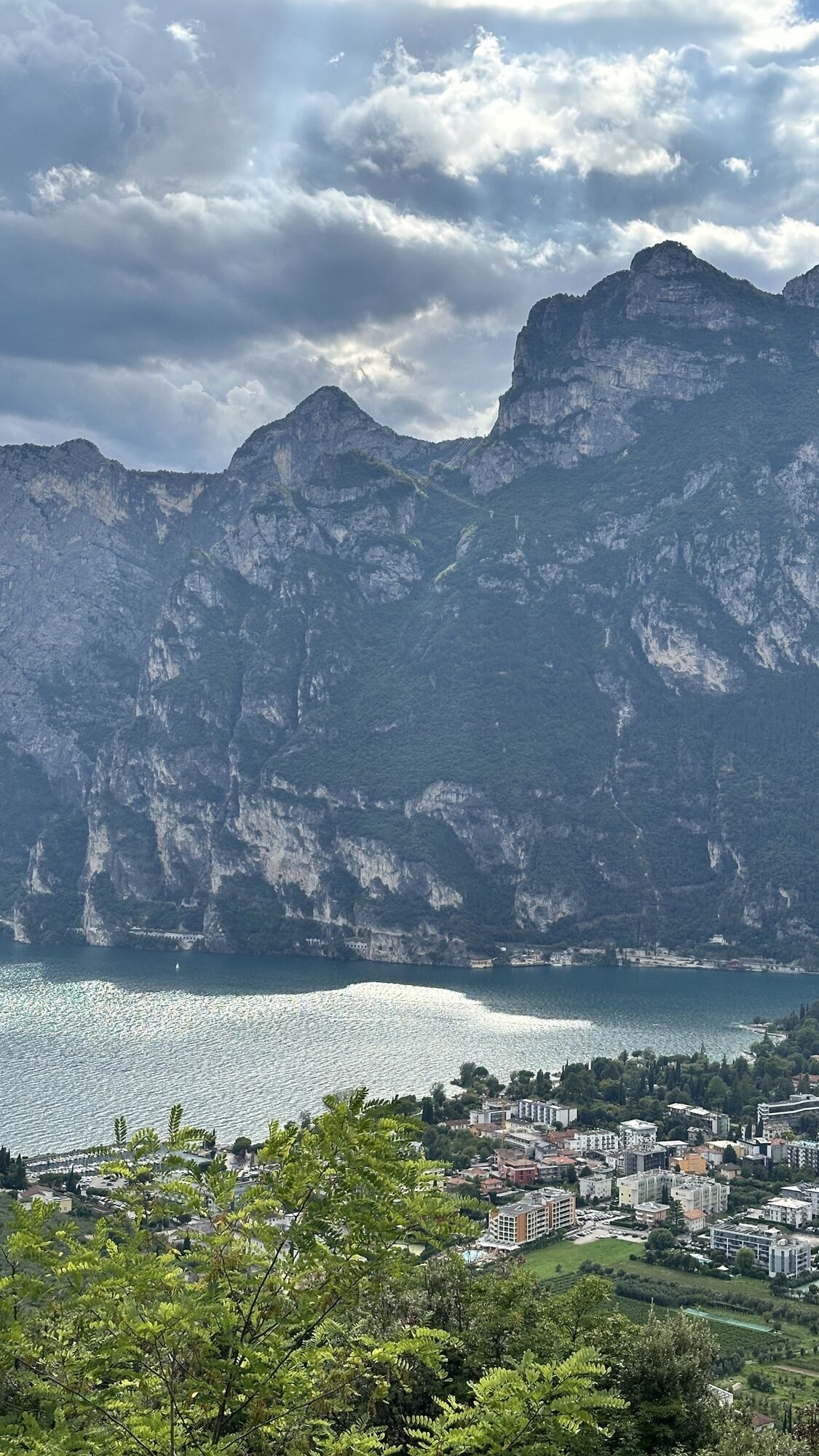
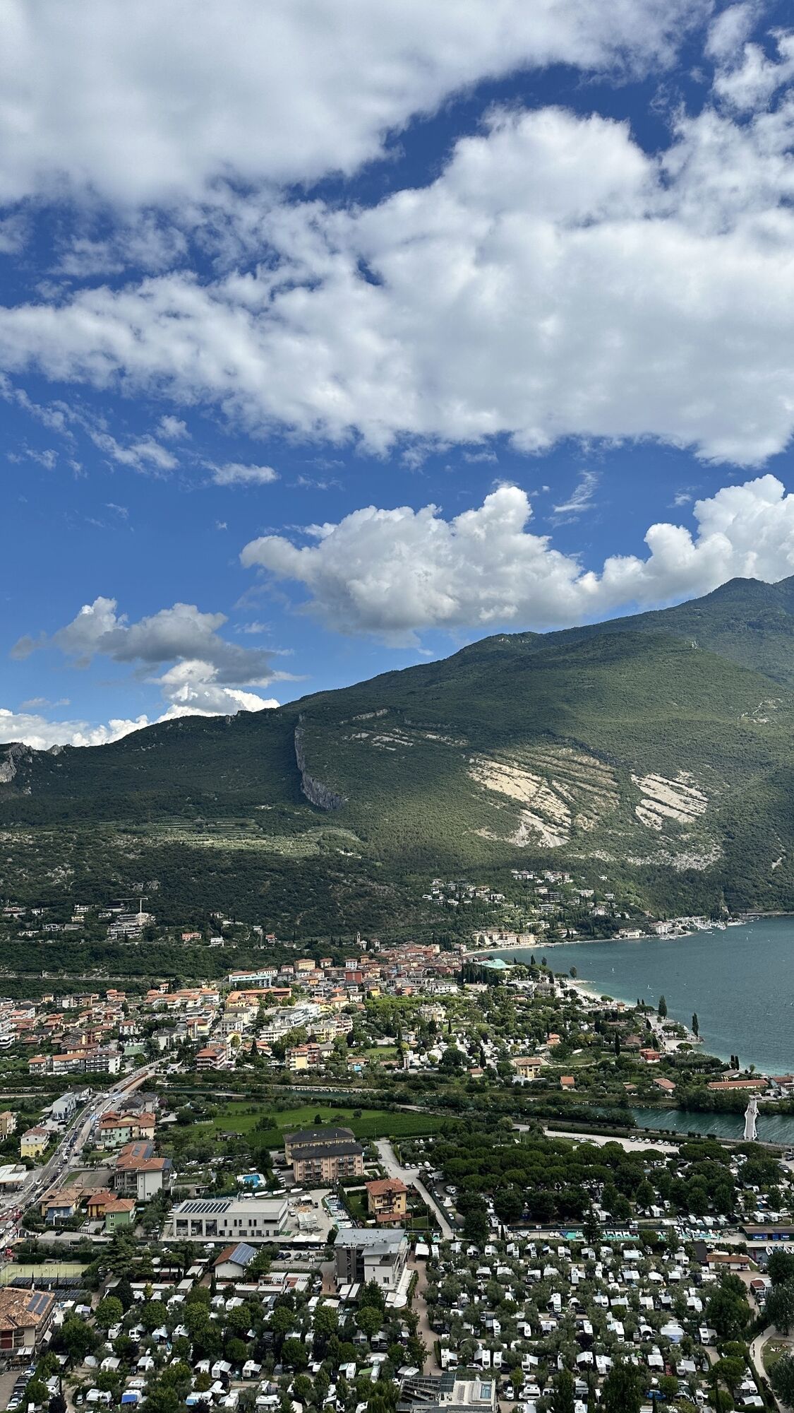
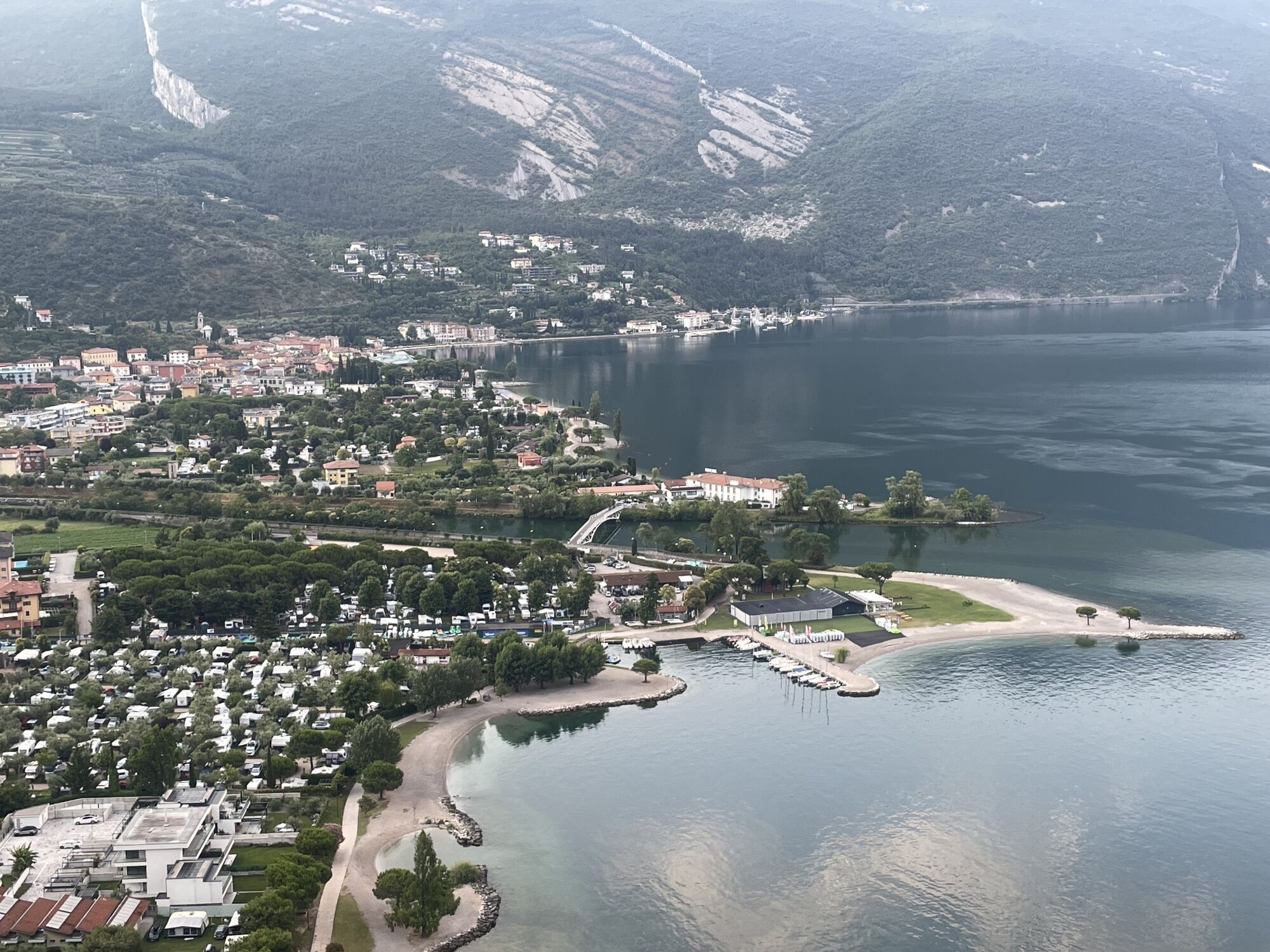
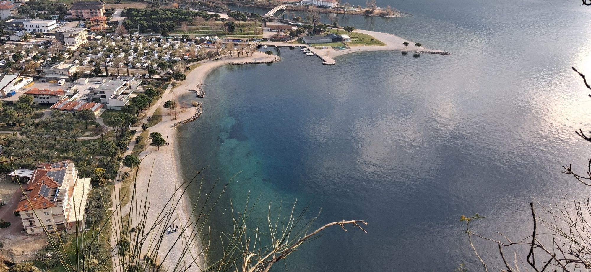
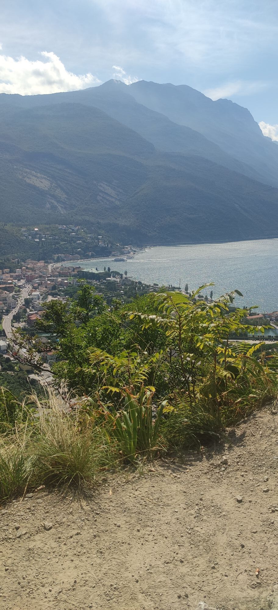
The starting point of the tour is near to Porto San Nicolò, in Riva del Garda. First cross Viale Rovereto onto Via Brione, and after a few dozen metres turn right onto Via Monte Brione. From here you can begin to follow the track, and route signs for 770 that guide you up hill. The constant gradient of almost 10% leads to a quick altitude gain, and the view of Riva del Garda becomes more wonderful with every hairpin. After about 2.5 km, on your right, you’ll reach a dirt road, partially closed by a barrier. Here continue straight.
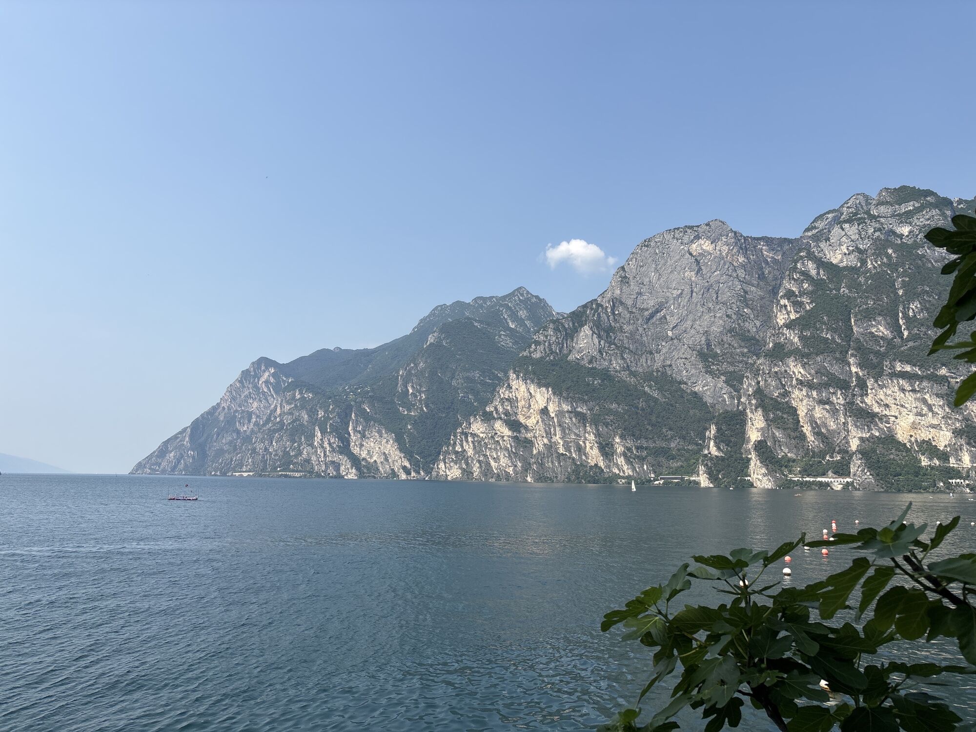
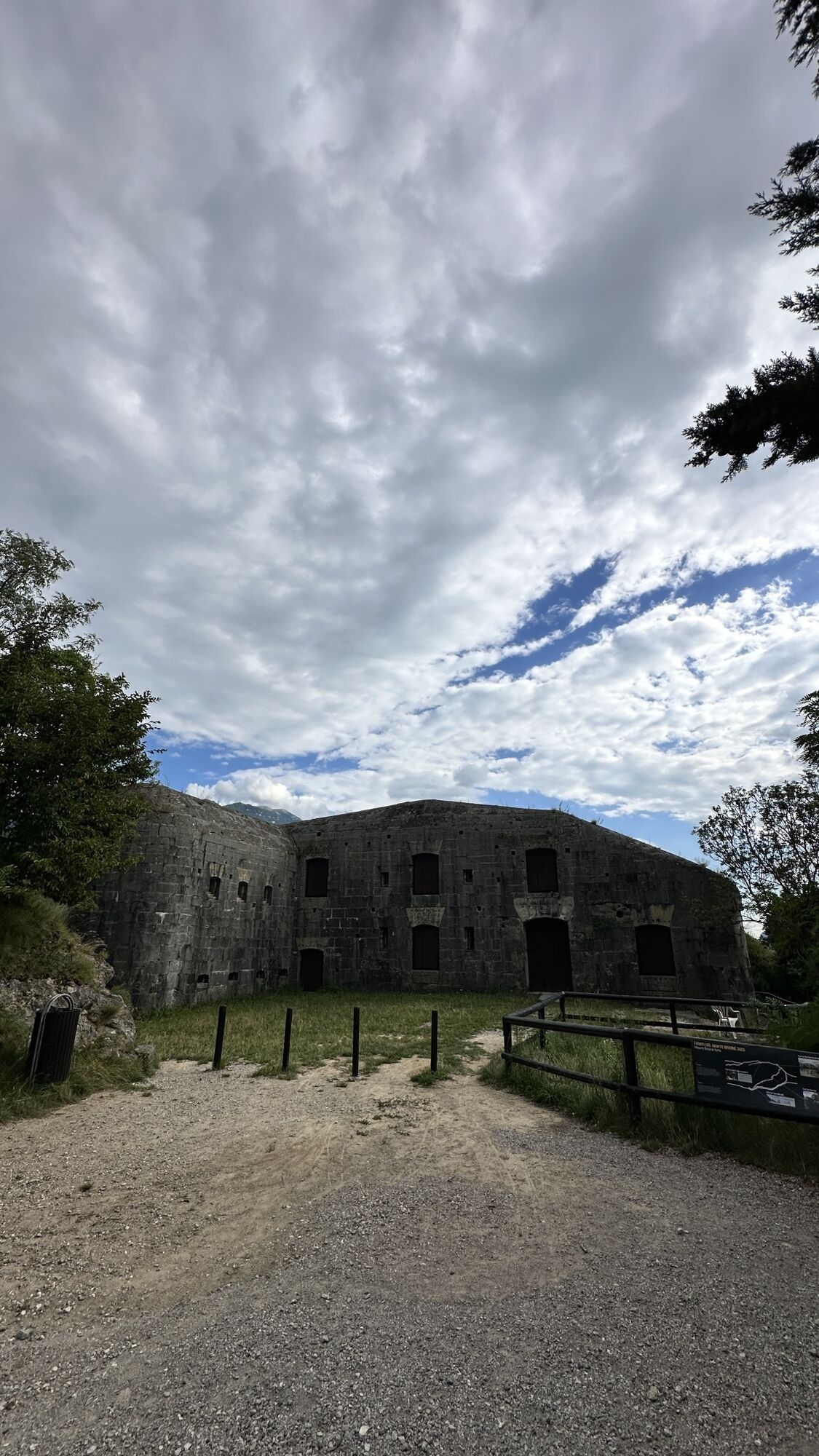
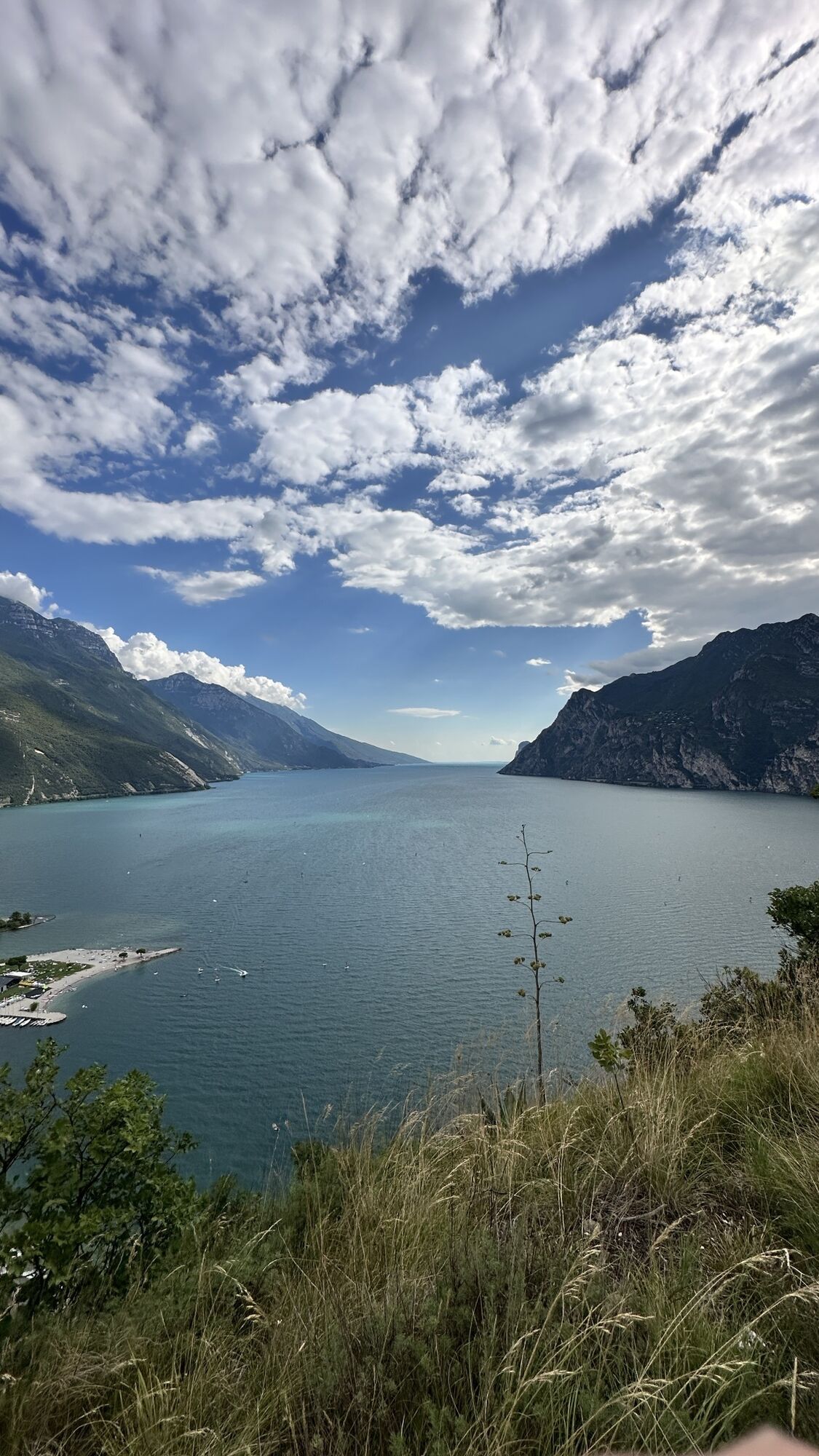
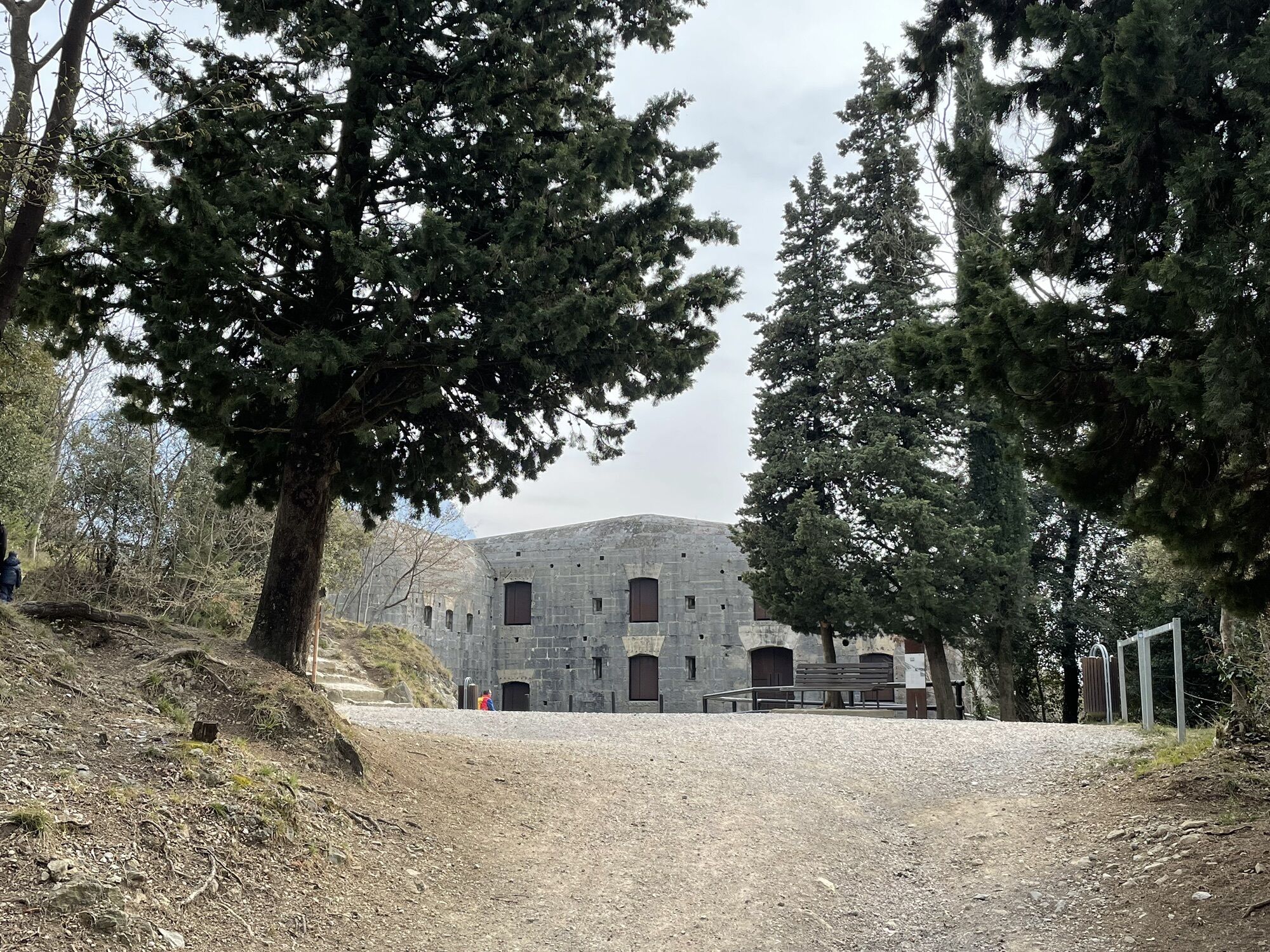
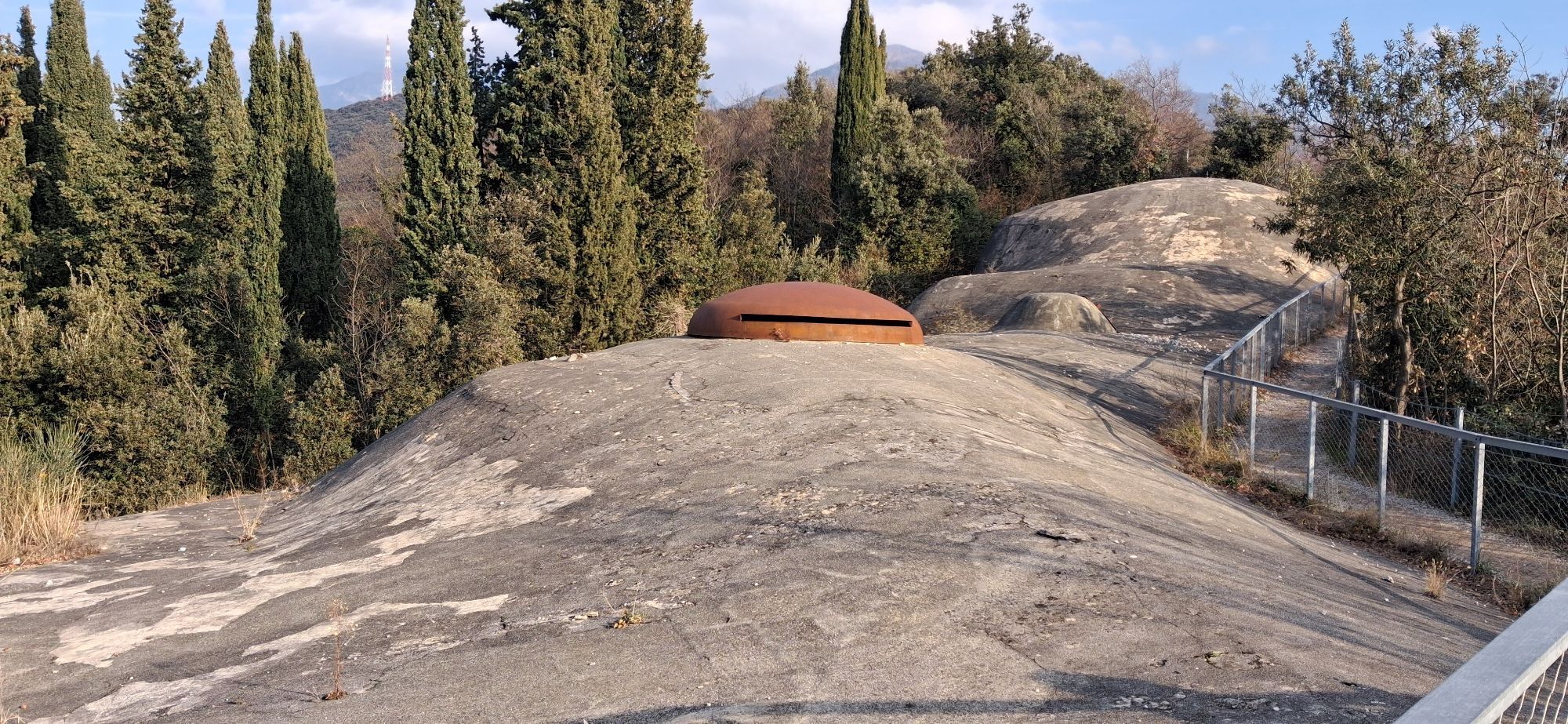
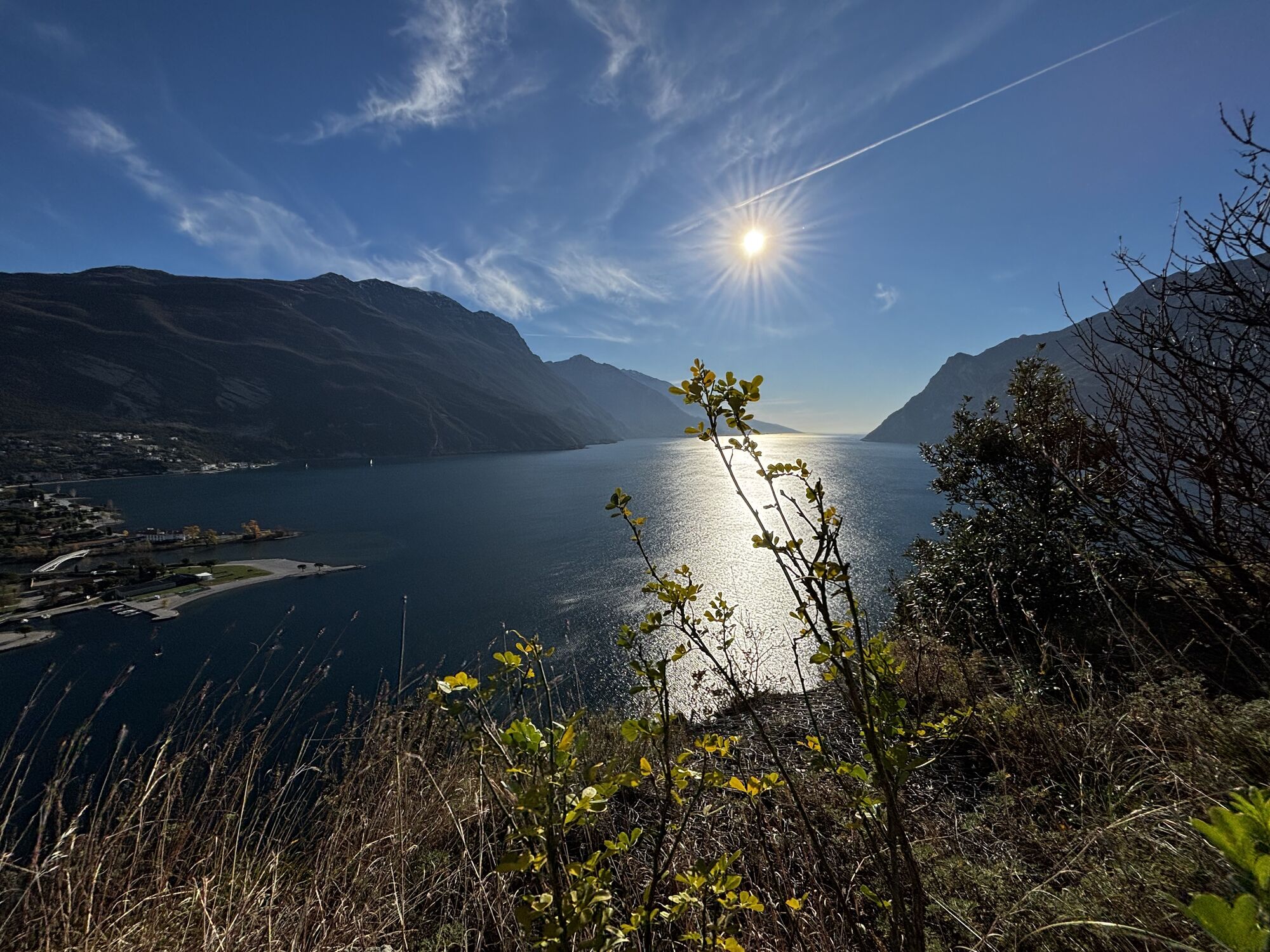
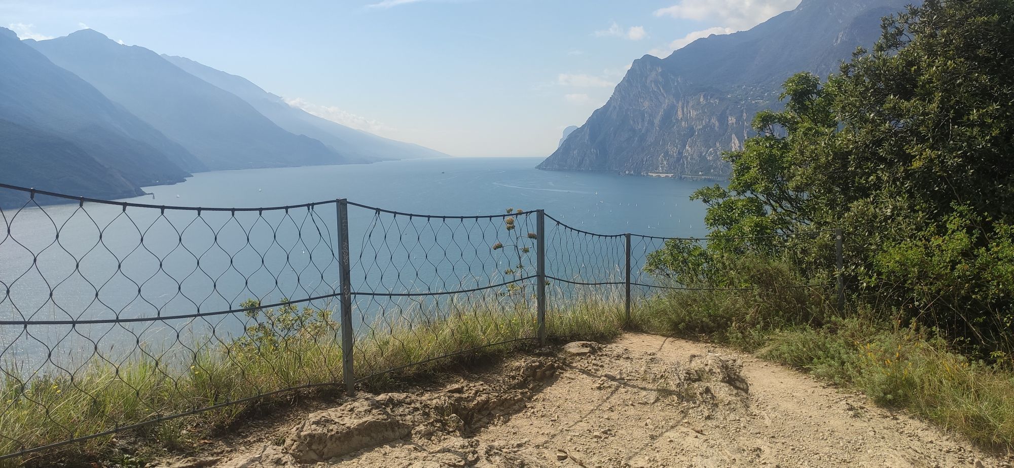
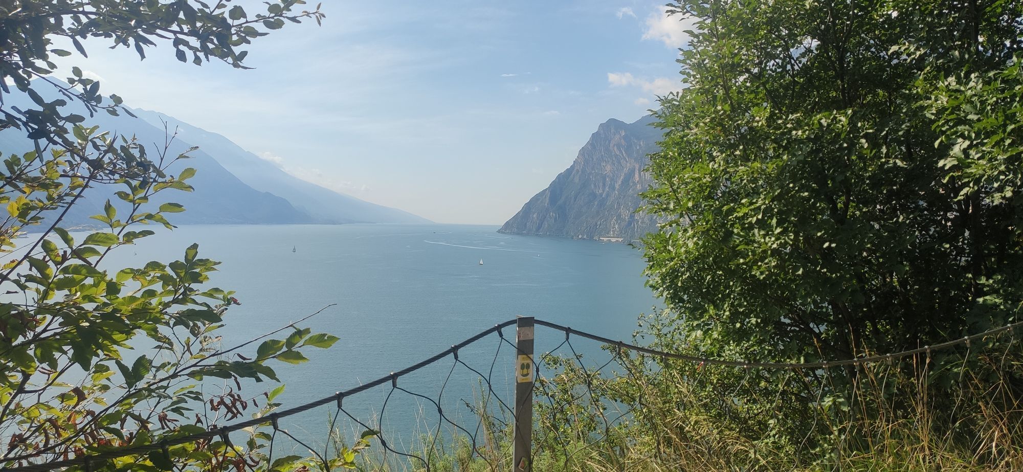
Pushing your bike you can reach the fort and admire the view over northern Lake Garda, This is a natural reserve, so you have to go back on your steps to the barrier to continue the tour.
Anyone wishing to avoid the technical descent can decide to keep left here, and return back to the starting point via the same route of arrival. However, for the technical descent, turn right, and after about 700m - on your left, you’ll see the entrance to the path. Reaching a cement road - follow it downhill until the village of Sant'Alessandro. Here, go straight to arrive at the stop sign on Via Sant’Alessandro. Cross the road and continue straight onto a gravel road. Continuing in this direction, first on the cycle path, then on a secondary road between the hotels, you’ll once again arrive at Porto San Nicolò, the route starting point.
Riding your bike requires specific clothing and equipment, even for relatively short and easy trips. It is always better to be prepared… e.g. for bad weather or a sudden drop in your energy levels. The unexpected things are part of the fun!
Remember to thoroughly evaluate the type of route you plan on doing, the locations you intend to cross and the current season. Has it been raining? Attention: The paths may be slippery and require more caution.
What do I need to bring on my bike tour?
An adequate water supply according to your needs (considering temperature, possibility of refuelling and duration of the route) Plenty of snacks (for example, dried fruit or energy bars) Waterproof / Windproof jacket A spare top / spare socks (Descending in a sweaty garment, will make you cold). Suncream Sunglasses Bike gloves/mitts Map or GPS device Bike lights: best placed on your helmet or handlebars. (It is always best to be prepared) Bike repair kit for punctures and mechanical breakdowns First aid kit Emergency whistleIt is always advised to let someone know where you plan to go and how long you expect to be.
Emergency telephone number 112.
ITRS - International Trail Rating System
The ITRS is an objective way to assess trails and routes from a biker’s perspective, evaluating four aspects:
Technical Difficulty: riding skill level needed Endurance: combined effect of length, uphill and downhill Wilderness: amount of planning required based on mobile phone reception, rescue options, water supply and wildlife Exposure: consequences of a fallDiscover more about the ITRS system and check the classification of this tour in the photo gallery.
Safety Tips
Always wear your helmet. Plan your ride. You share the trail with other users. Yield right of way to hikers. Let your speed be determined by your experience. Ride slowly on crowded trails, overtake with politeness and respect. Cycle only on authorized and open trails. Avoid muddy trails in order not to damage them further. Respect public and private property. Always be self-sufficient. Do not cycle solo in remote areas.This information is subject to inevitable variations, so none of these indications are absolute. It is not entirely possible to avoid giving inexact or imprecise information, given how quickly environmental and weather conditions can change. For this reason, we decline any responsibility for changes which the user may encounter. In any case, it is advisable to check environment and weather conditions before setting out.
Find out how to reach Garda Trentino.
The main towns in Garda Trentino - Riva del Garda, Arco, Torbole sul Garda, Nago – are connected by several urban and intercity bus lines which will take you to the starting point of tours or in the immediate surroundings.
You can also get to Riva del Garda and Torbole sul Garda by the public ferry service.
Free parking near the former hospital (Via Rosmini).
Paid parking: Terme Romane (Viale Roma), Vecchia stazione (Largo Medaglie d’Oro), Ex-agraria (Via Lutti).
S2
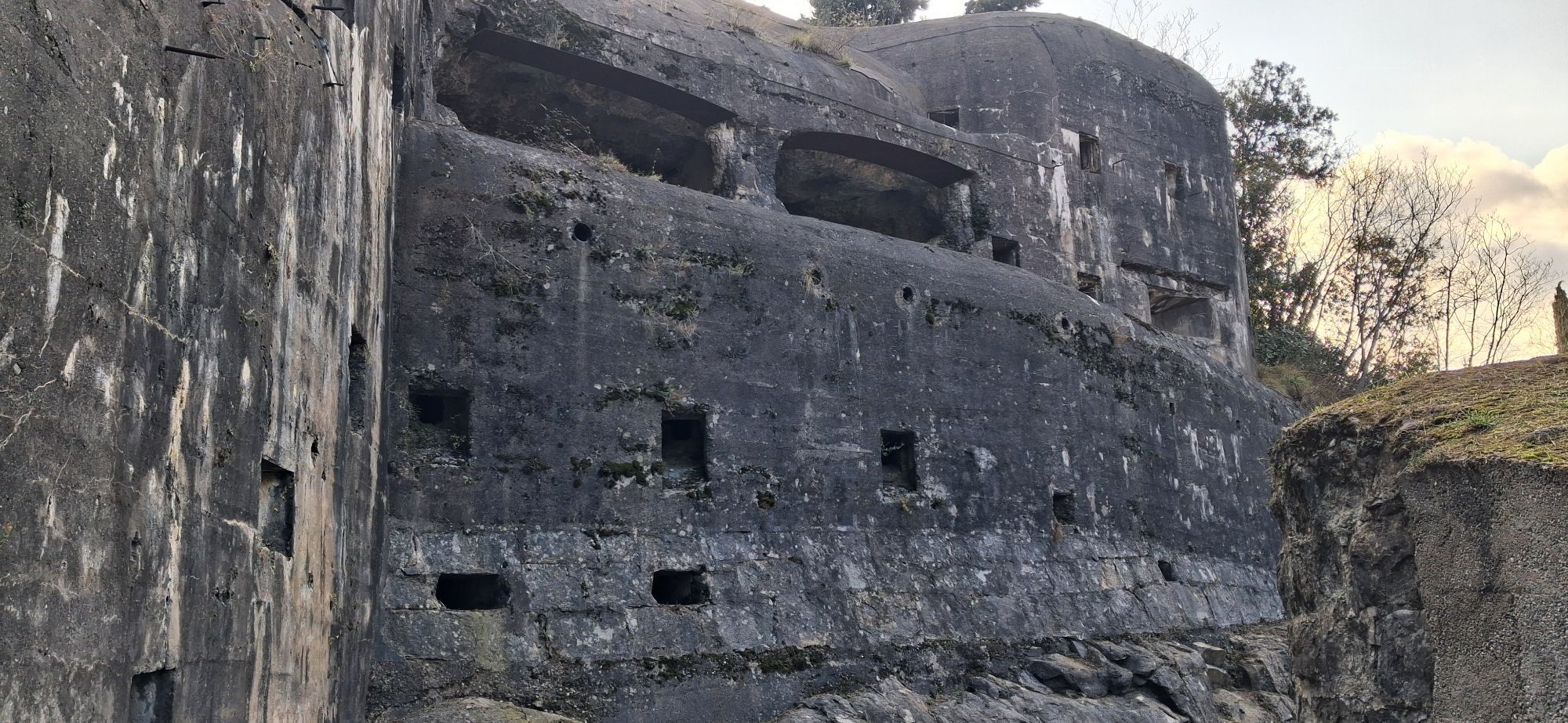
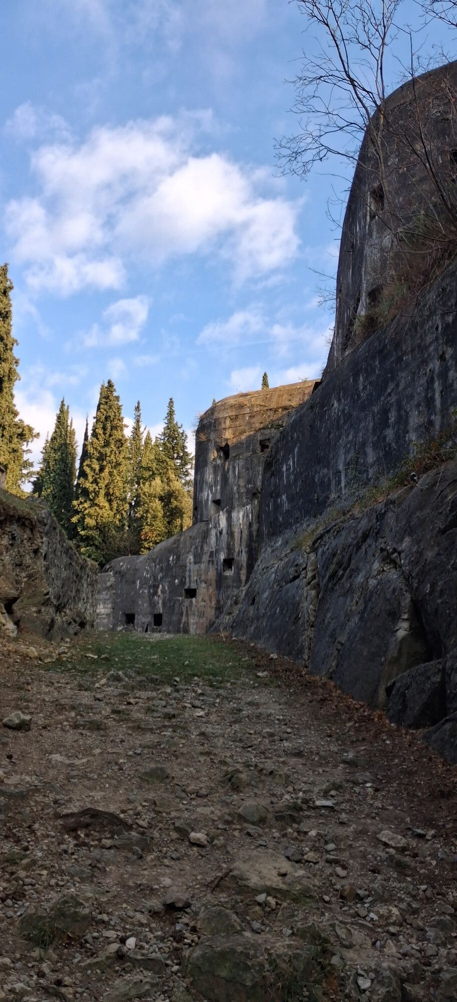
Monte Brione was considered a strategic point for the control of the Austro-Hungarian border, and climbing up, it is easy to understand the reason. Forte Garda, built between 1904 and 1907, has been restored in 2017 and has been open to the public since then.
 Uzyskaj wgląd
Zawsze na żywo z ponad 9 500 kamer internetowych. bergfex Jako użytkownik Pro, możesz teraz zobaczyć odpowiednie kamery internetowe dla wielu wycieczek w aplikacji wycieczki od. Pozwala to na bezpośredni podgląd aktualnych warunków.
Uzyskaj wgląd
Zawsze na żywo z ponad 9 500 kamer internetowych. bergfex Jako użytkownik Pro, możesz teraz zobaczyć odpowiednie kamery internetowe dla wielu wycieczek w aplikacji wycieczki od. Pozwala to na bezpośredni podgląd aktualnych warunków.
Popularne wycieczki w okolicy
-
5,0
Bastione and Santa Barbara, the lords of Riva del Garda
średniWędrówka 2,94 km -
5,0
Via Ferrata Signora delle Acque - Rio Ruzza
ciężkiVia ferrata 5,32 km -
4,8
Sentiero Busatte Tempesta
światłoWędrówka 7,90 km -
4,8
Bocca Fortini - Tour
ciężkiMountainbike 35,4 km -
4,8
Via Ferrata Rio Sallagoni
średniVia ferrata 2,75 km -
4,8
Via Ferrata Fausto Susatti - Cima Capi (from Ledro)
średniVia ferrata 7,11 km -
4,6
Via Ferrata delle Laste e Gallerie di Cima Rocca
światłoVia ferrata 6,38 km -
4,5
Walking around Lake Ledro
światłoWędrówka 9,40 km -
4,9
Via Ferrata dell’Amicizia - Cima SAT
średniVia ferrata 4,41 km -
4,4
Tremalzo Big - Tour
ciężkiMountainbike 45,6 km
Wędrówki i tropienie


Nie przegap ofert i inspiracji na następne wakacje
Twój adres e-mail została dodana do listy mailingowej.





