







Historical tour "Federspiel - Costa Bella
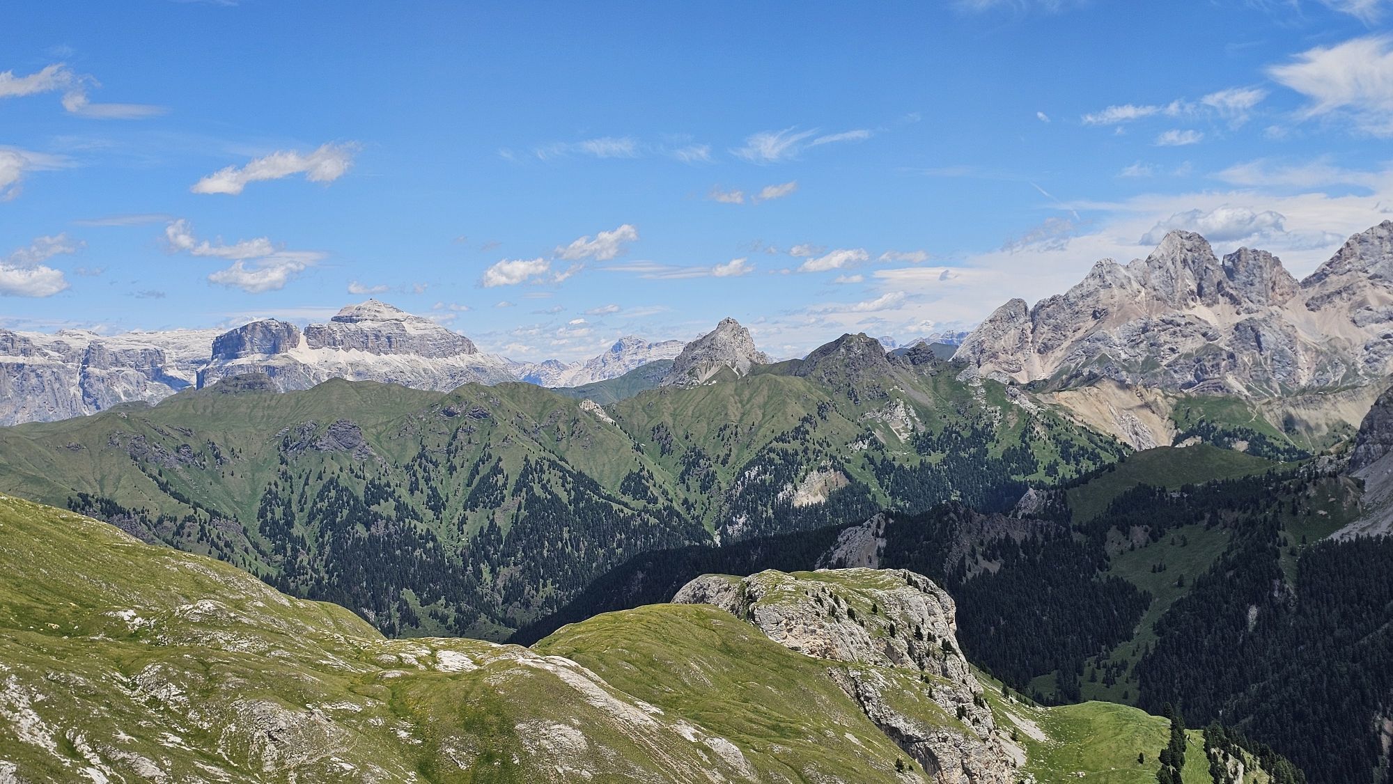
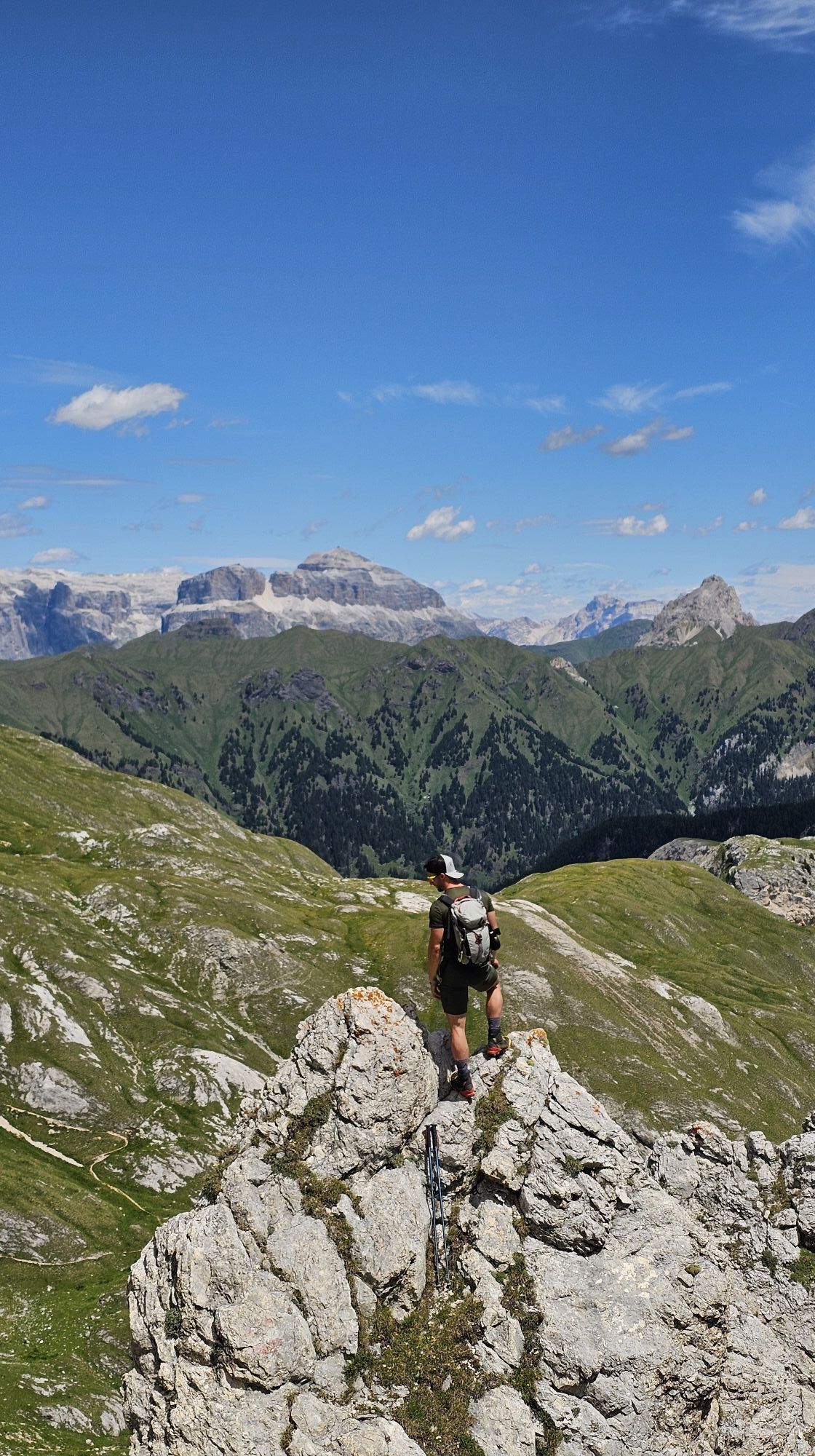
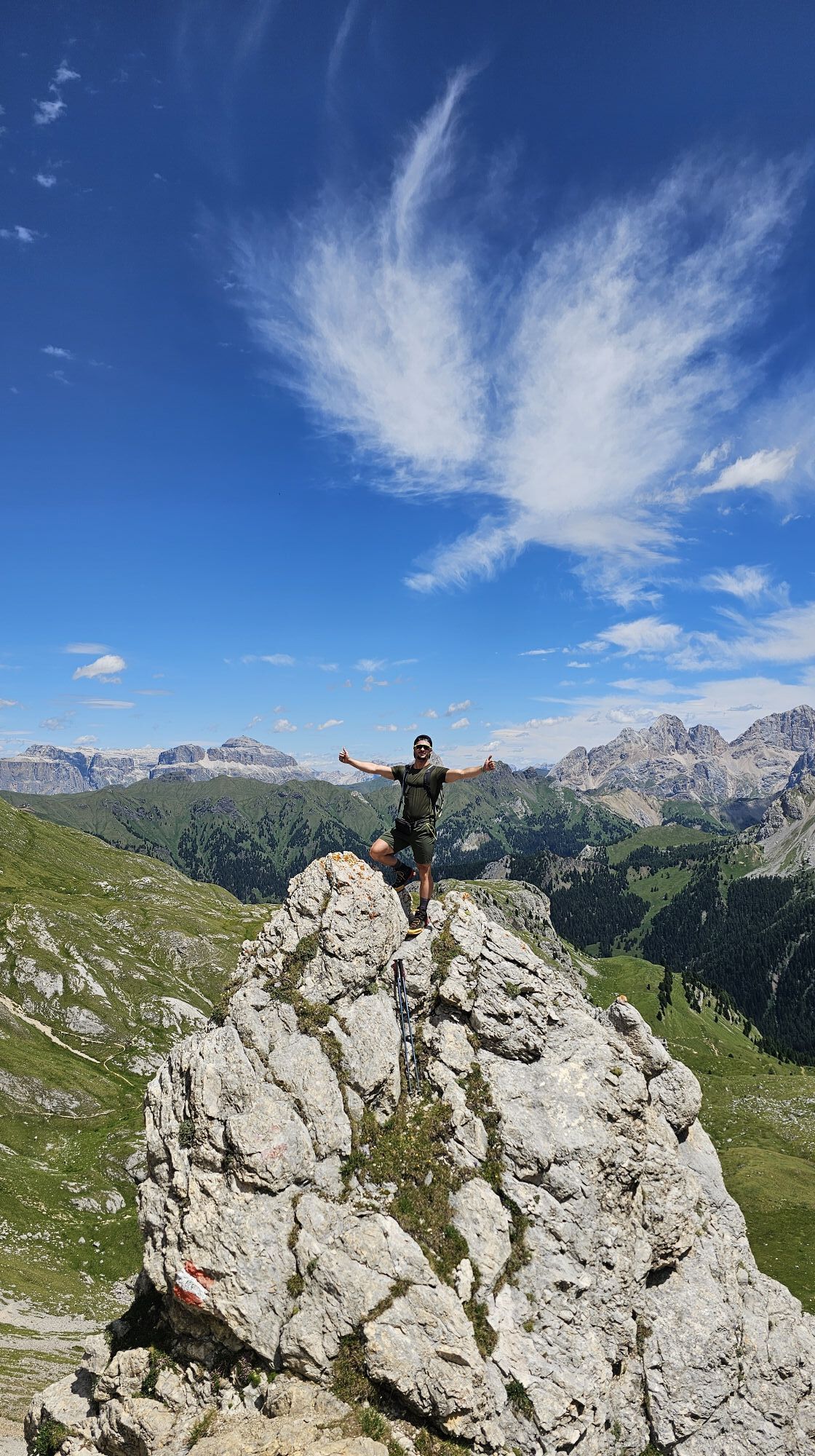
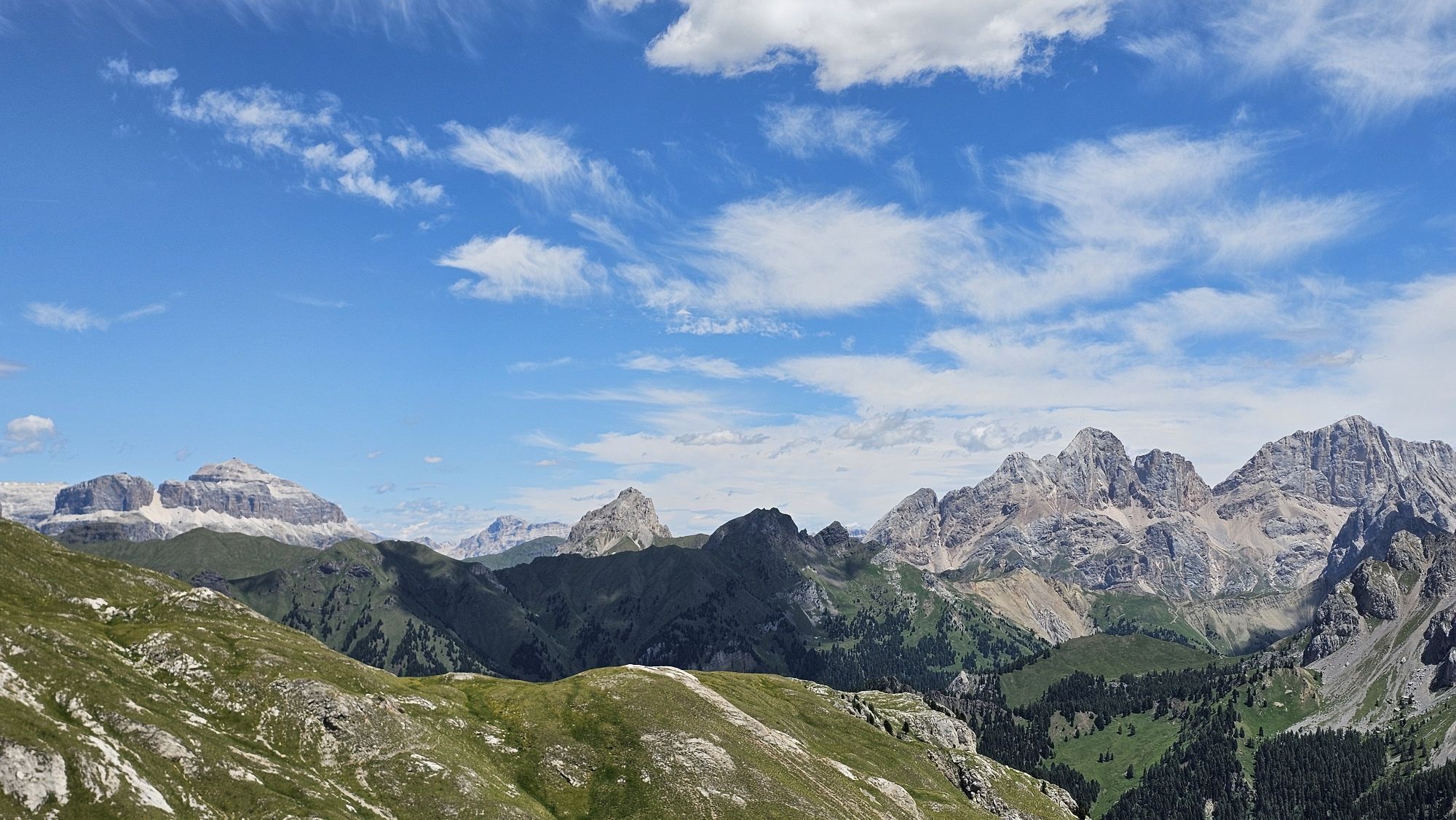
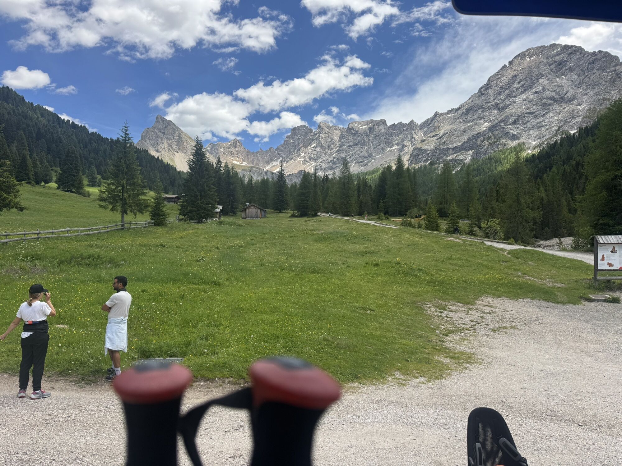
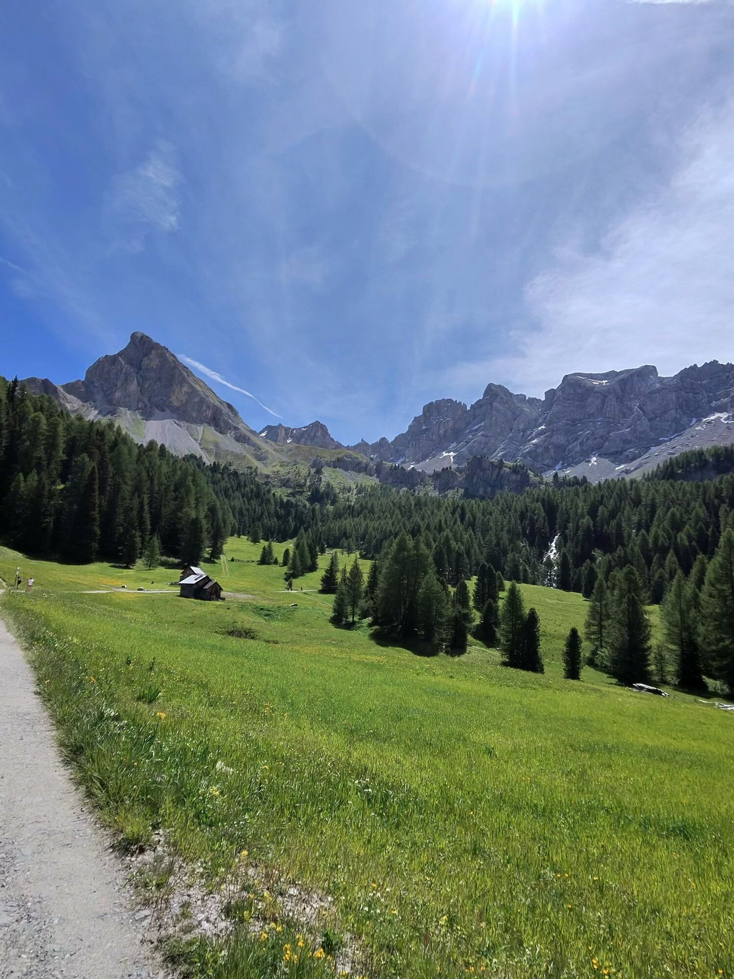
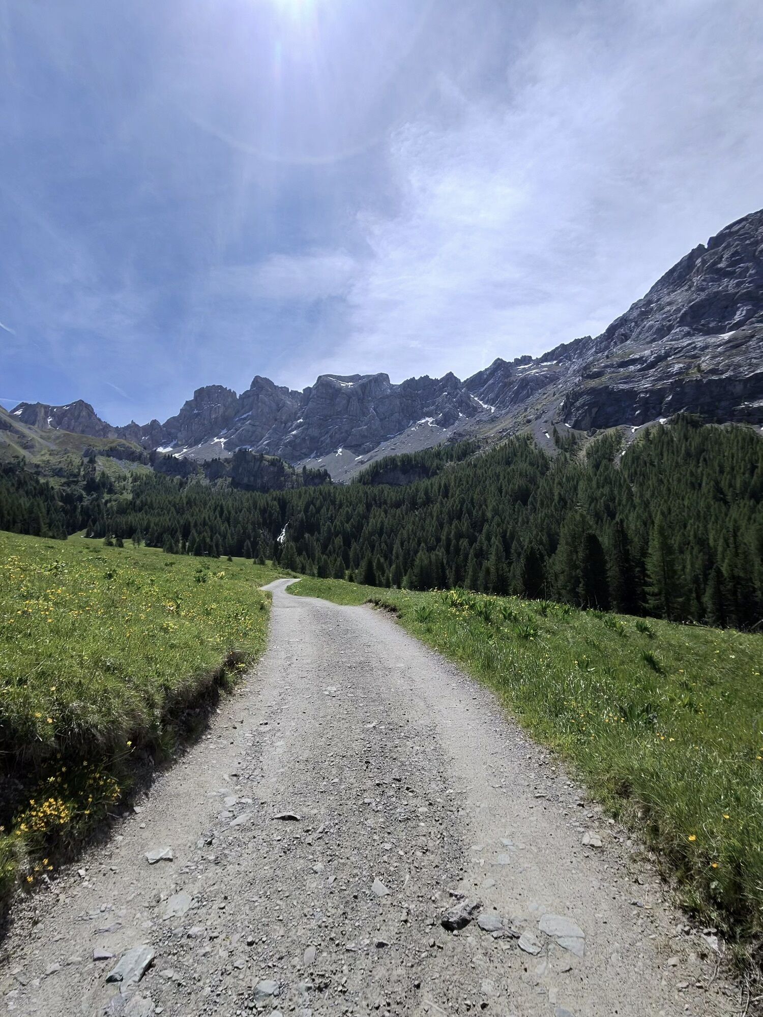
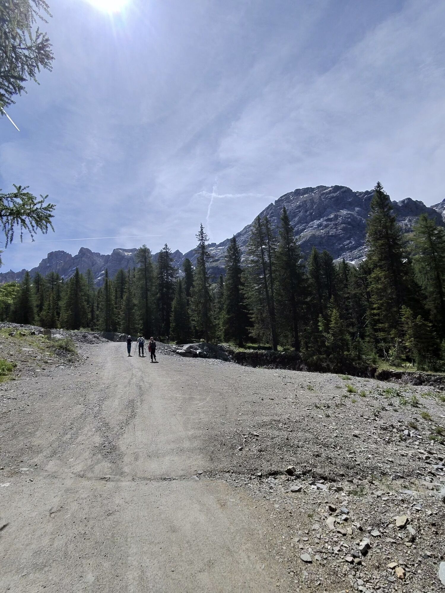
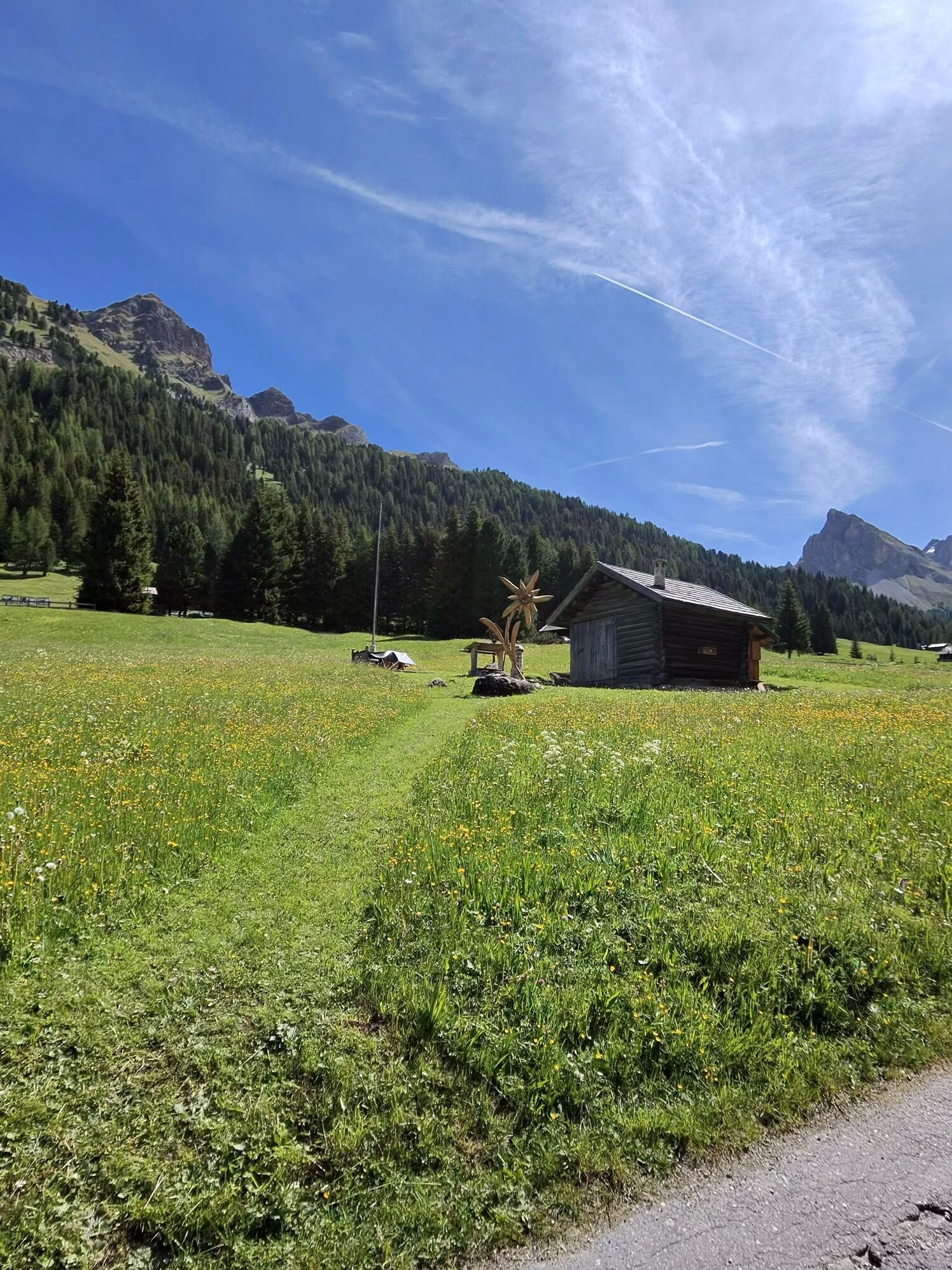
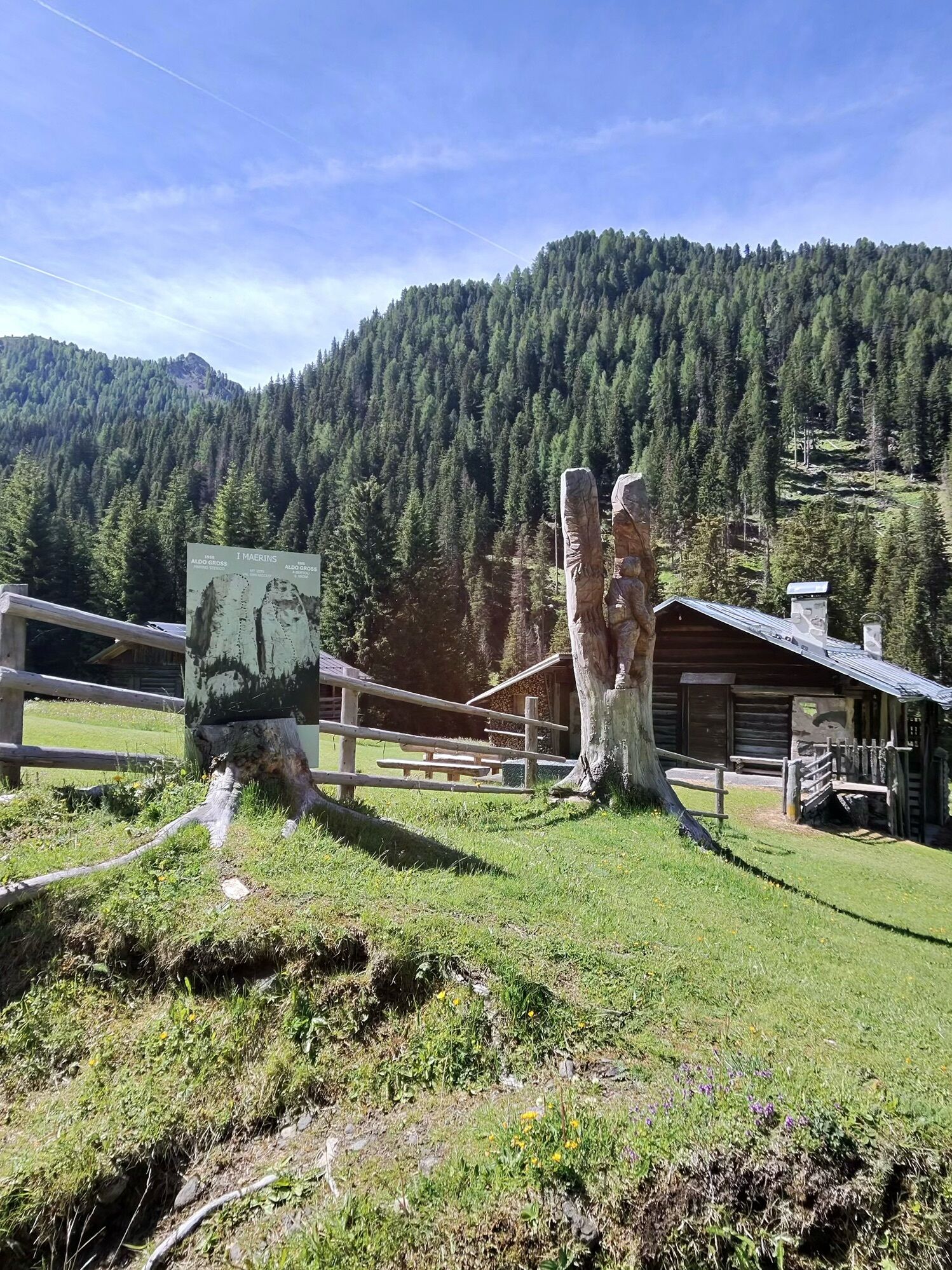
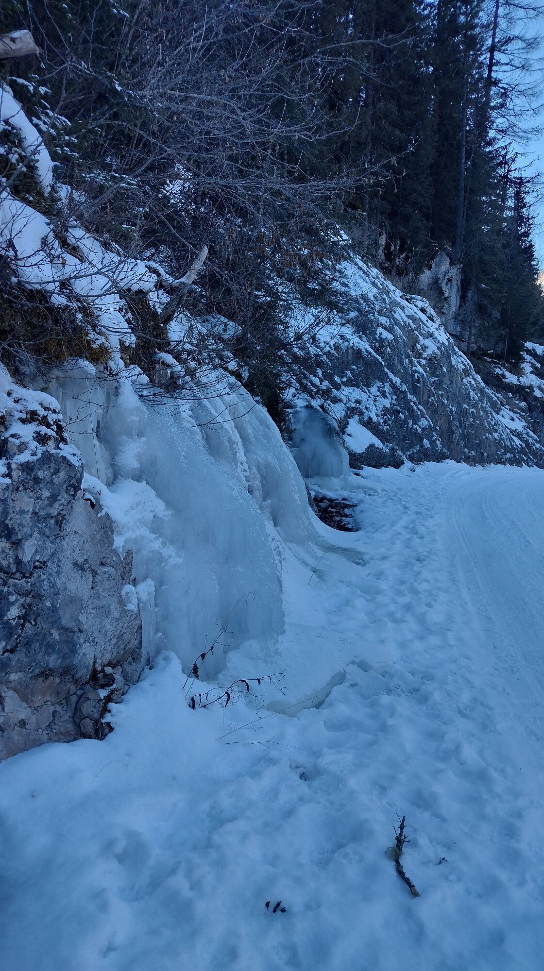
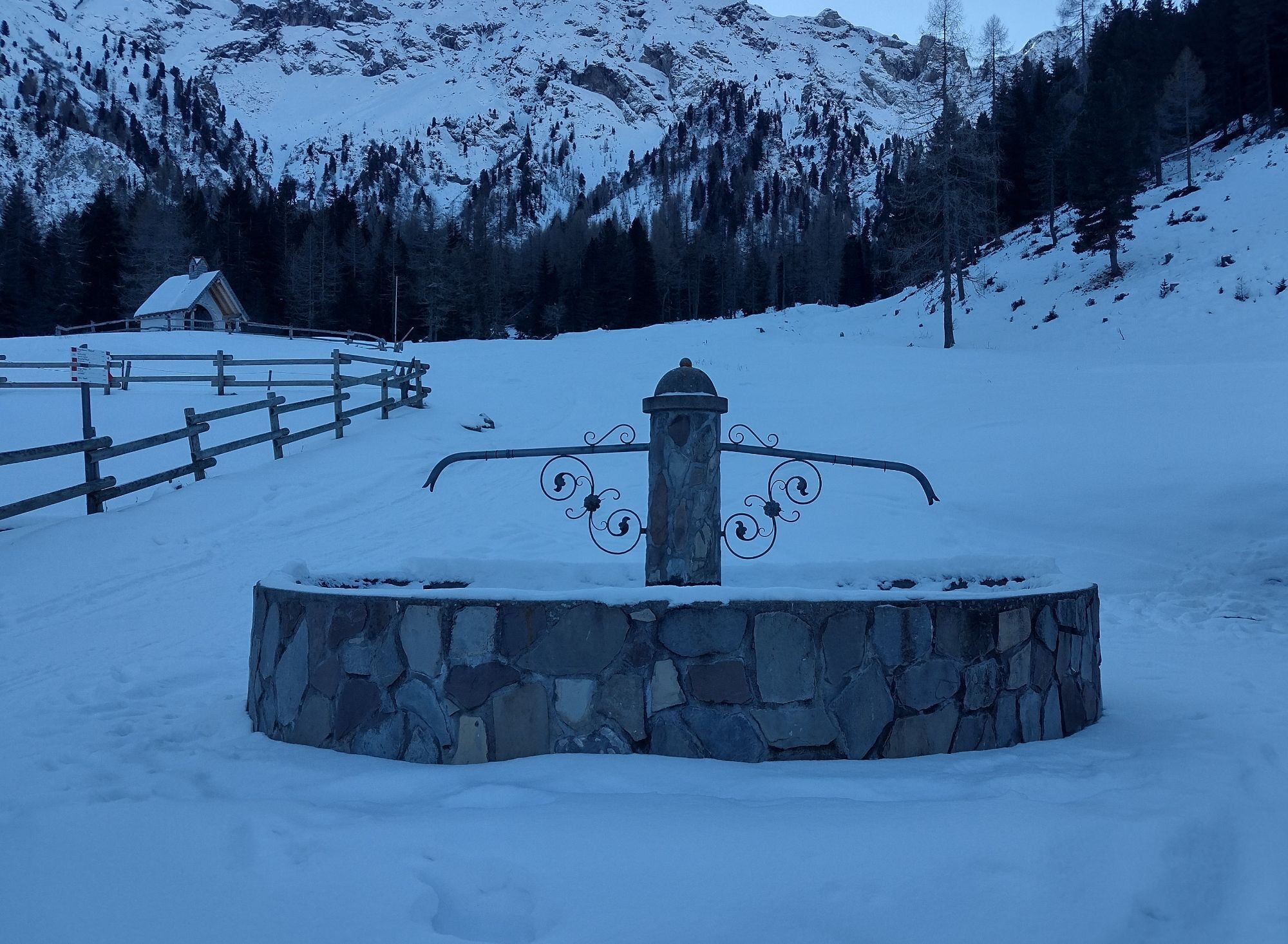
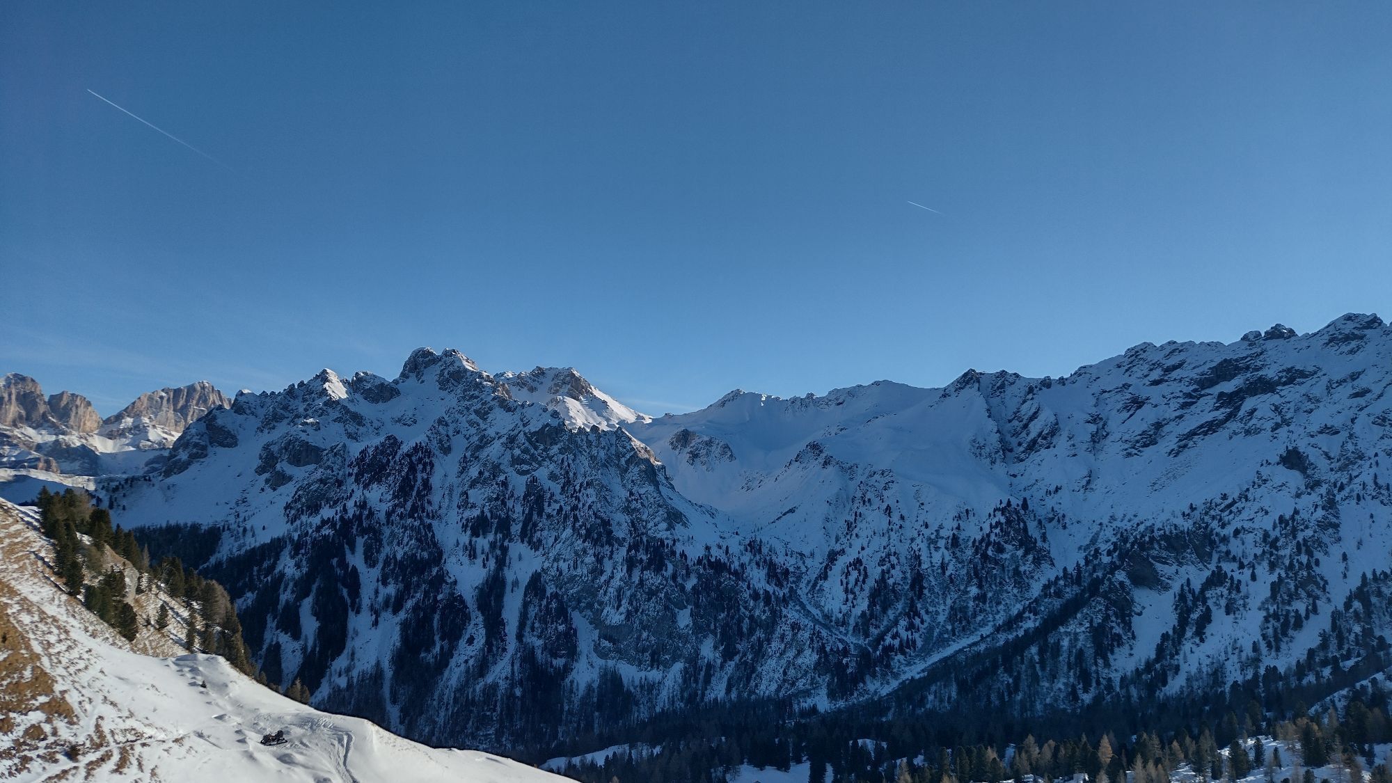
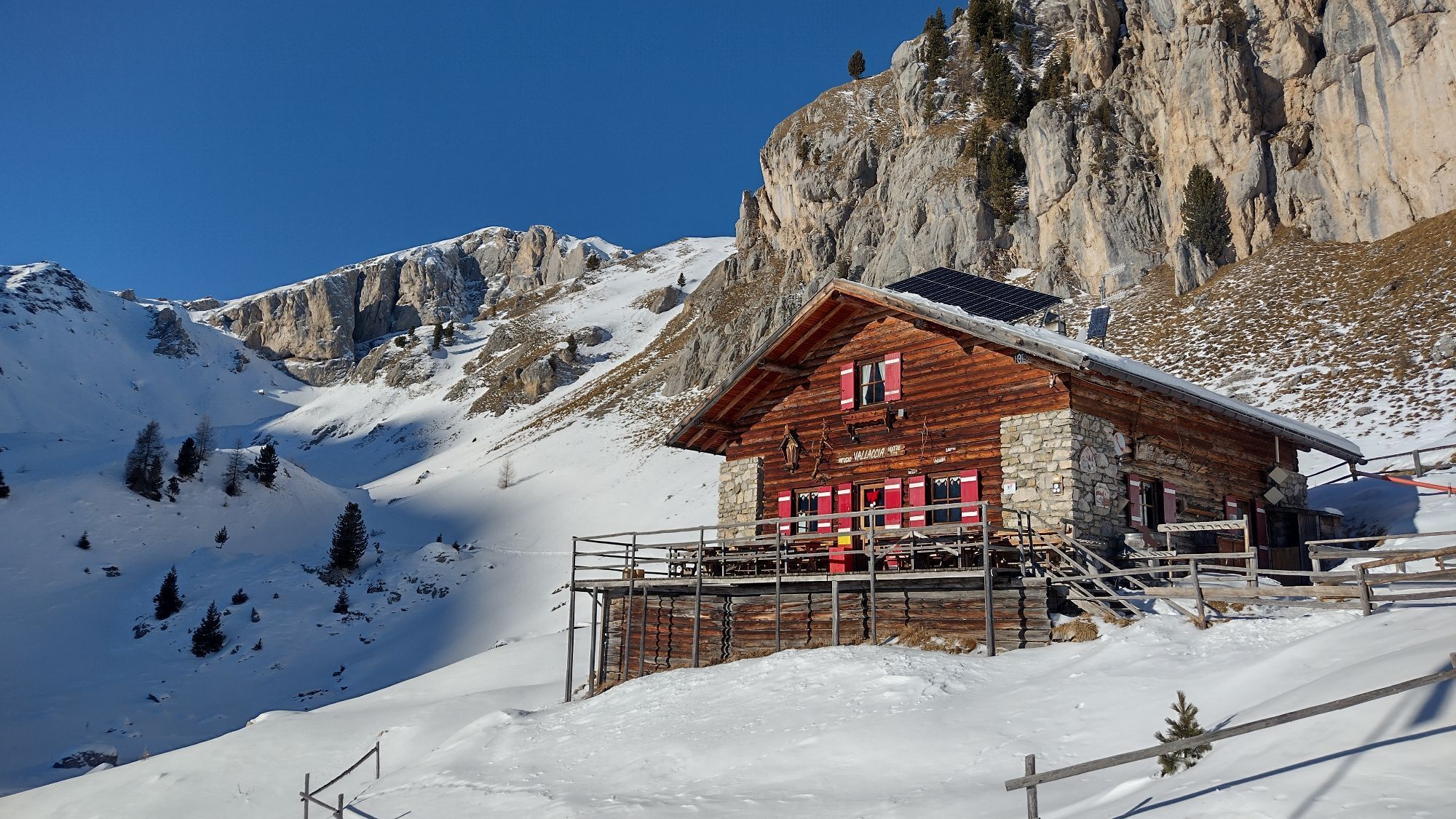
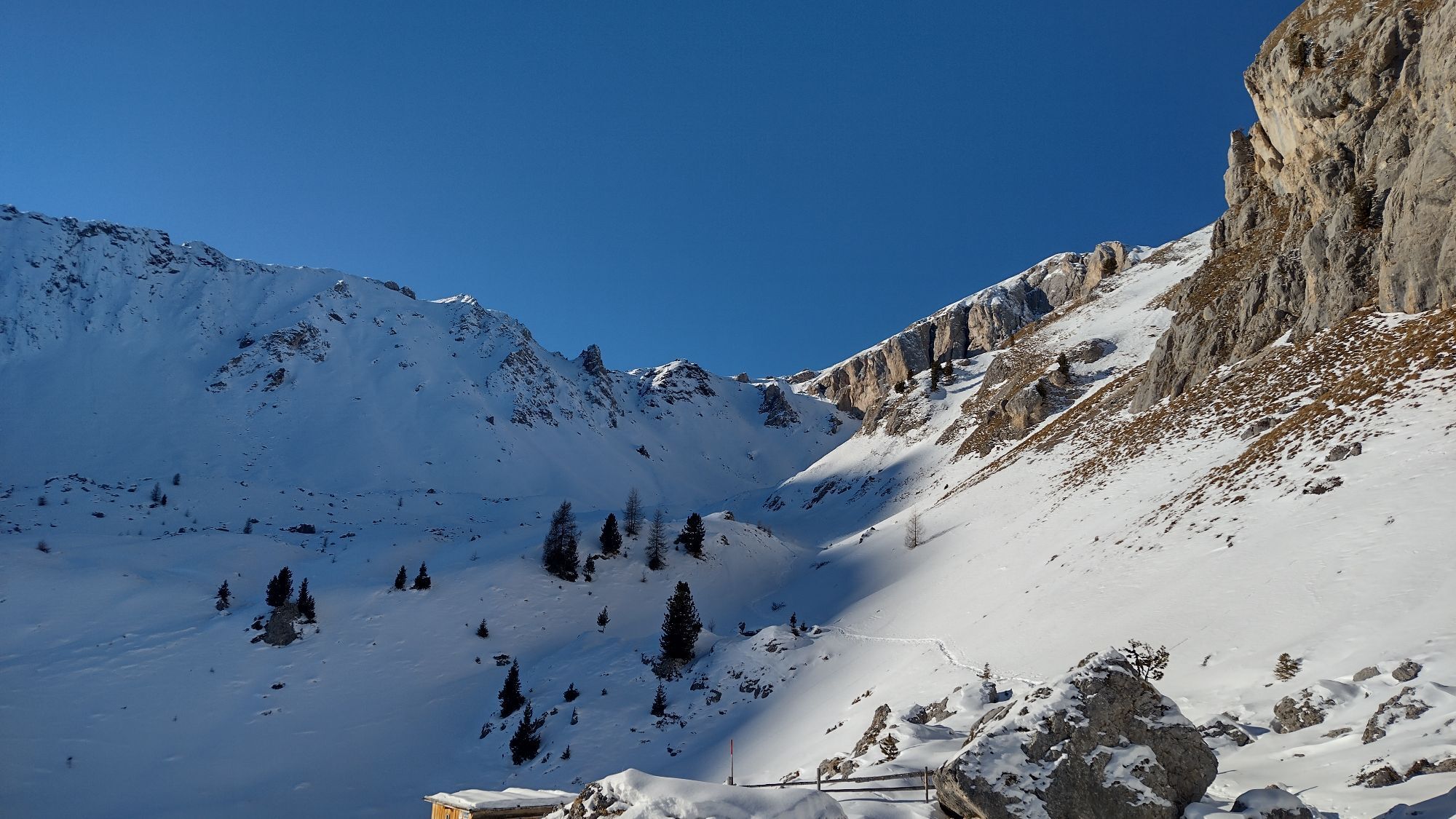
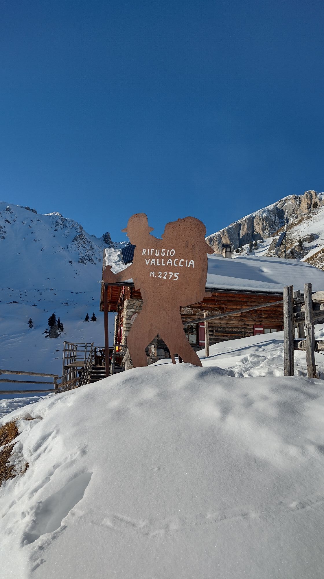
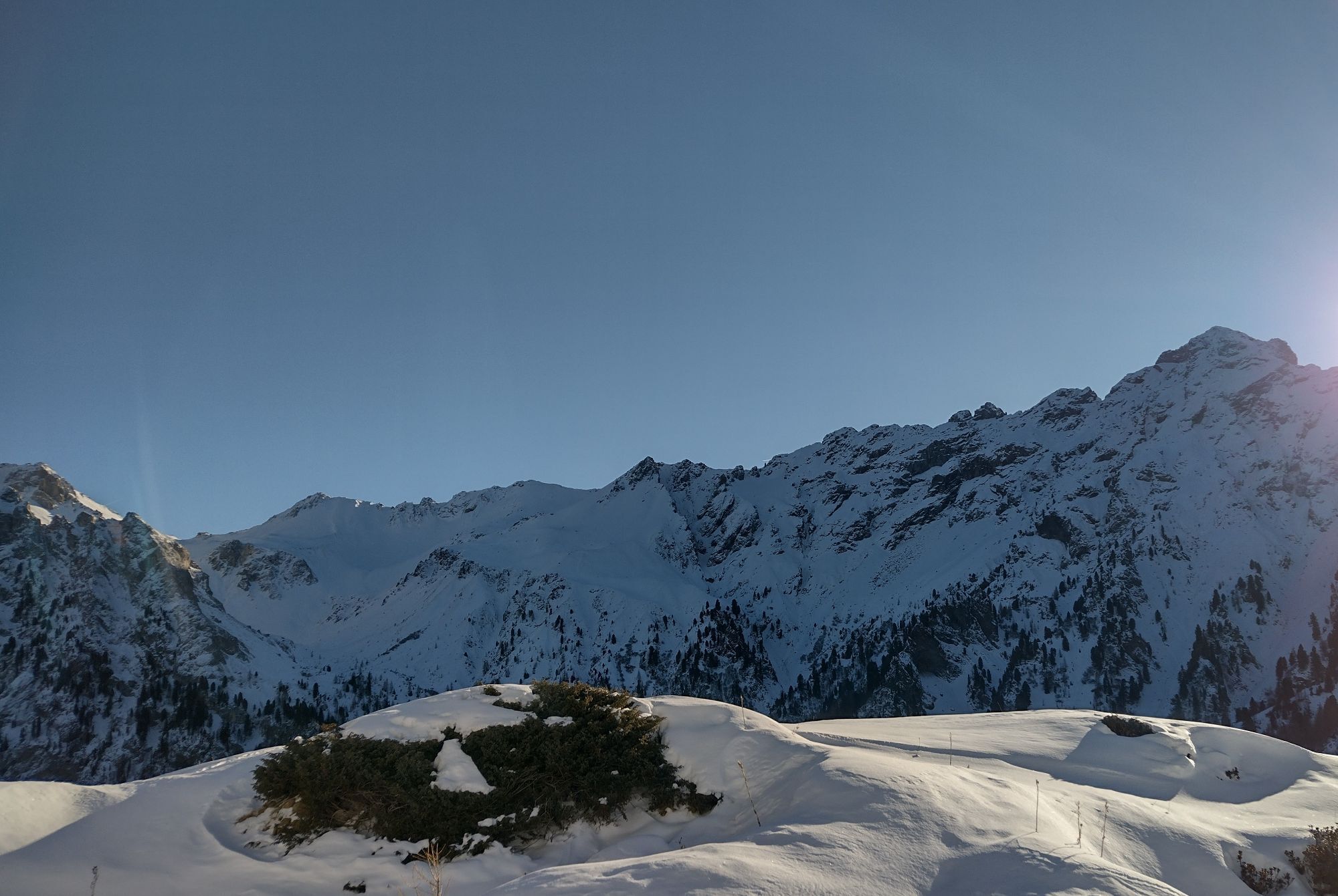
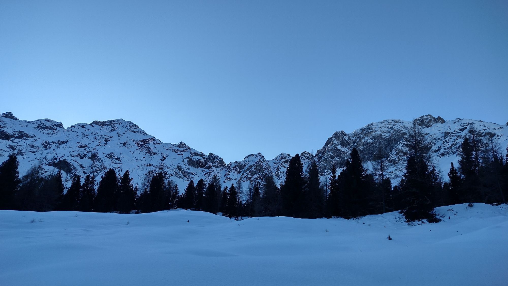
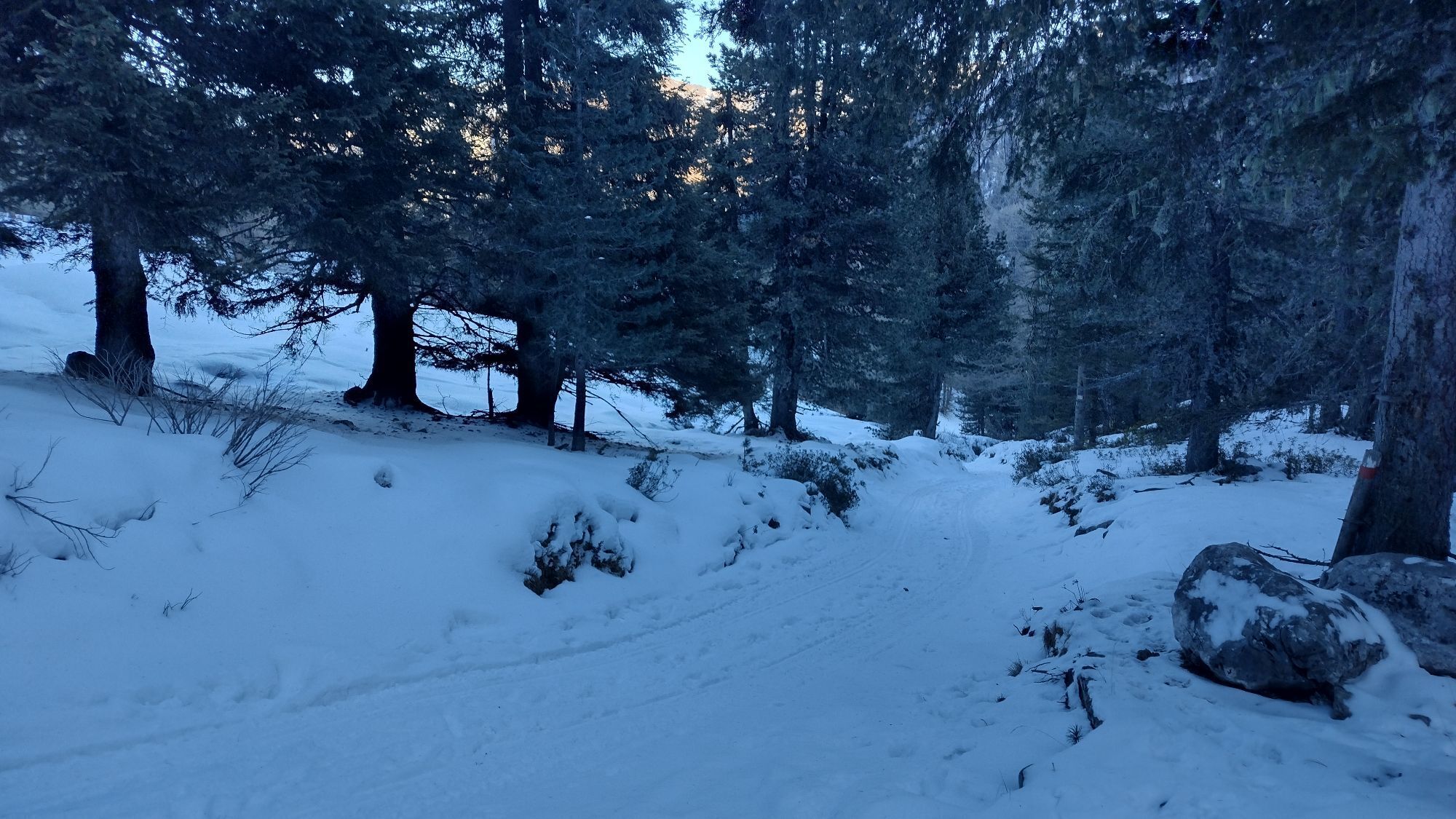
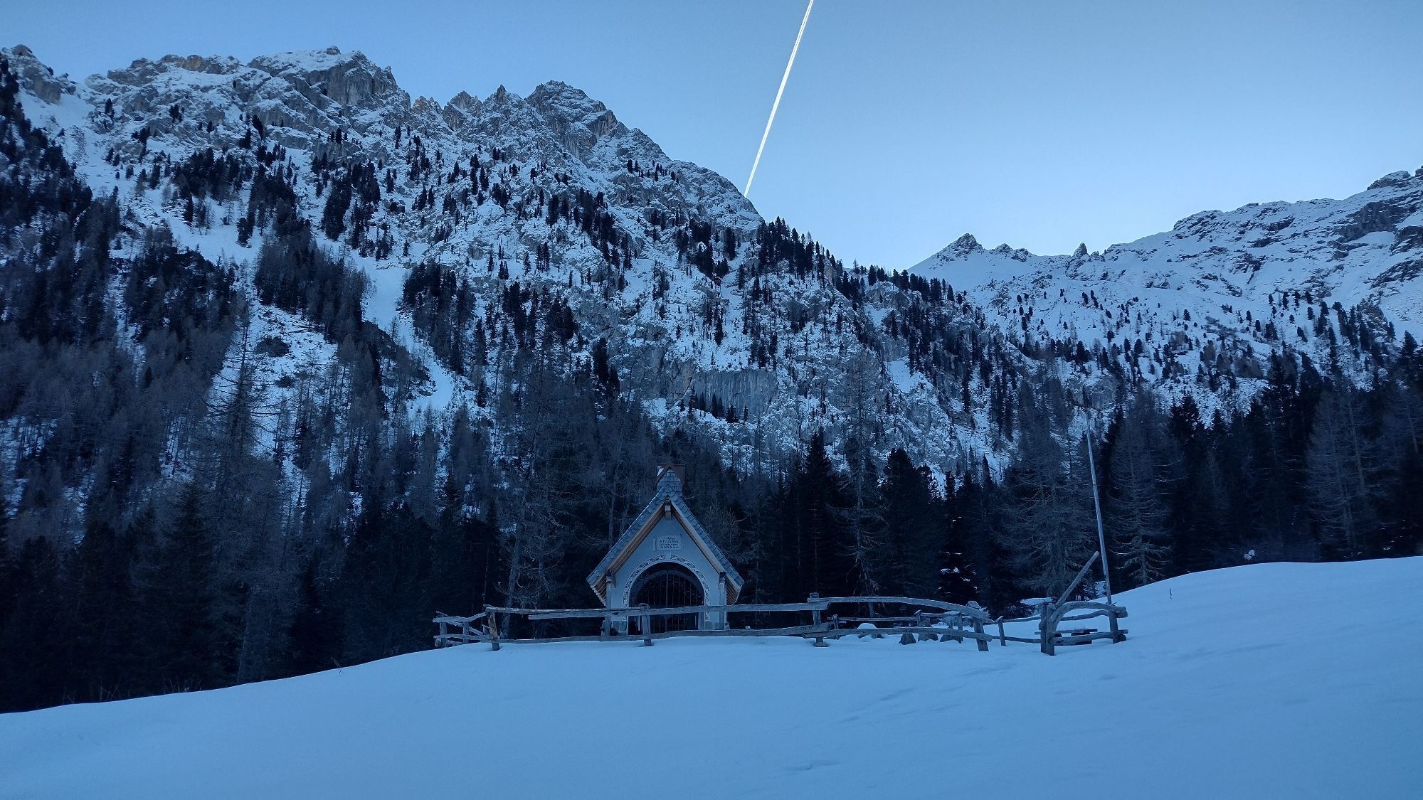
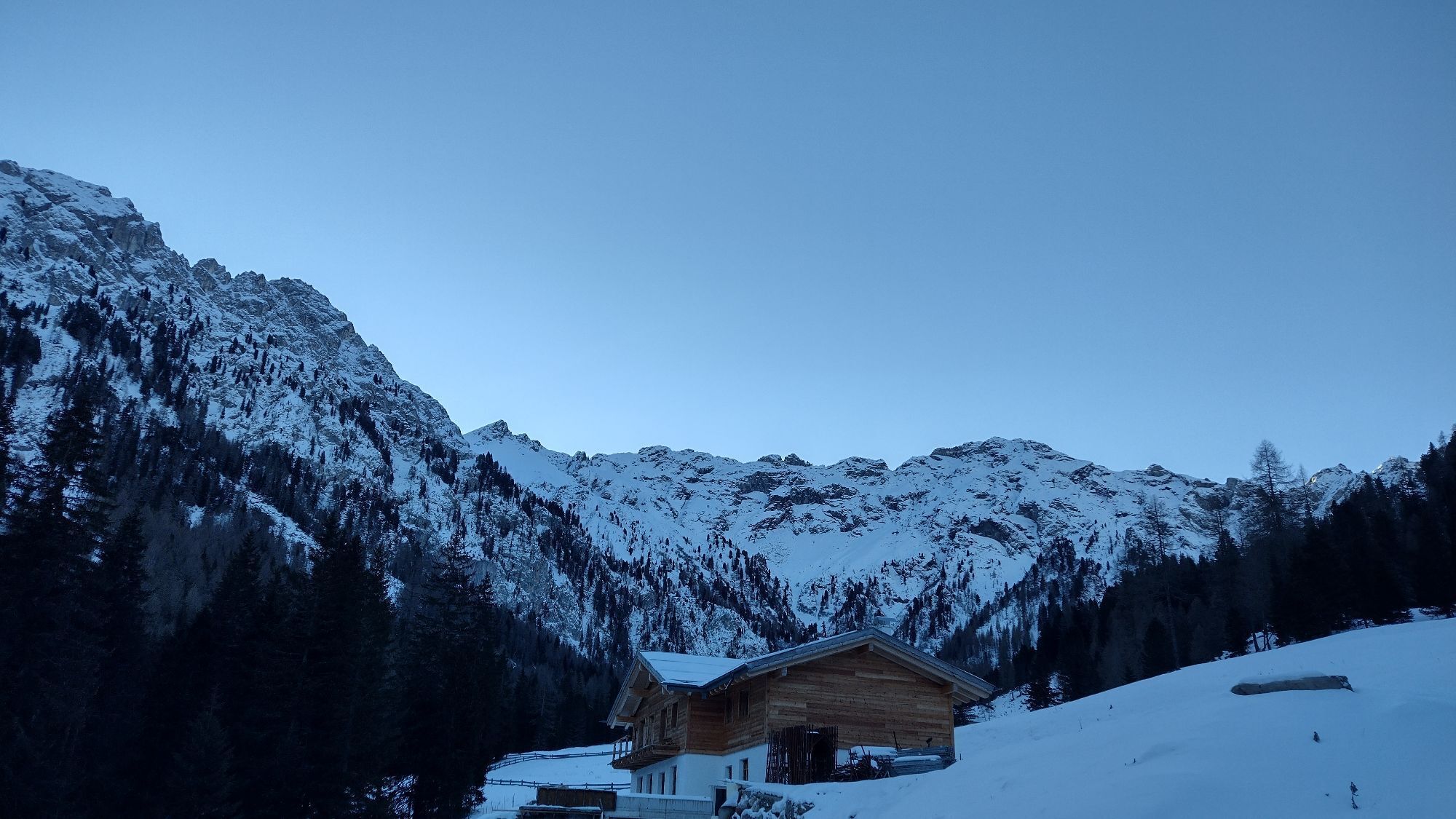

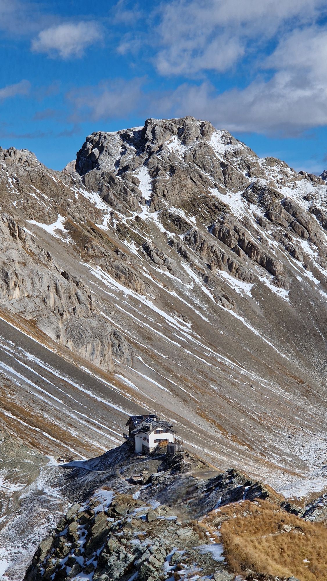
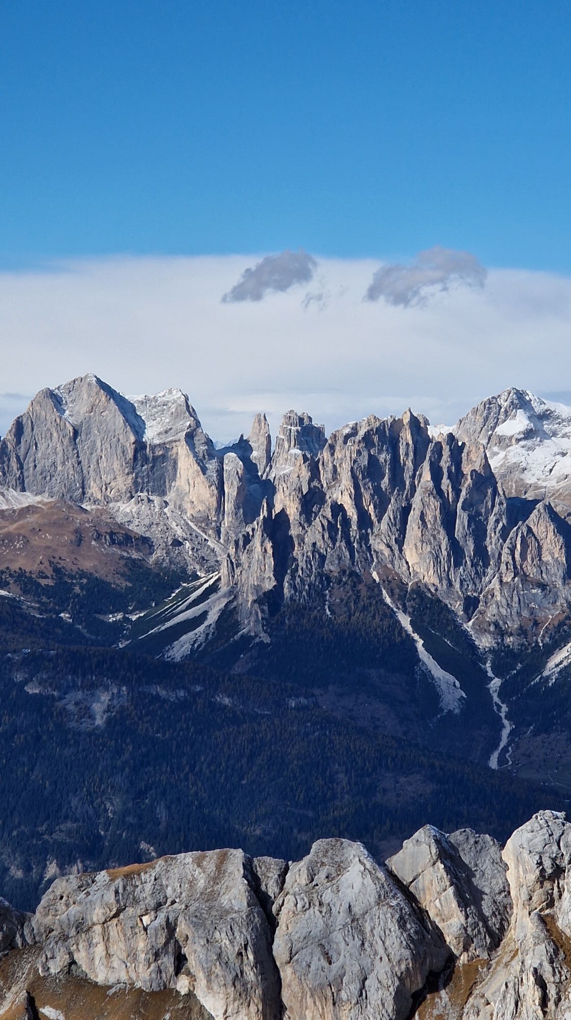
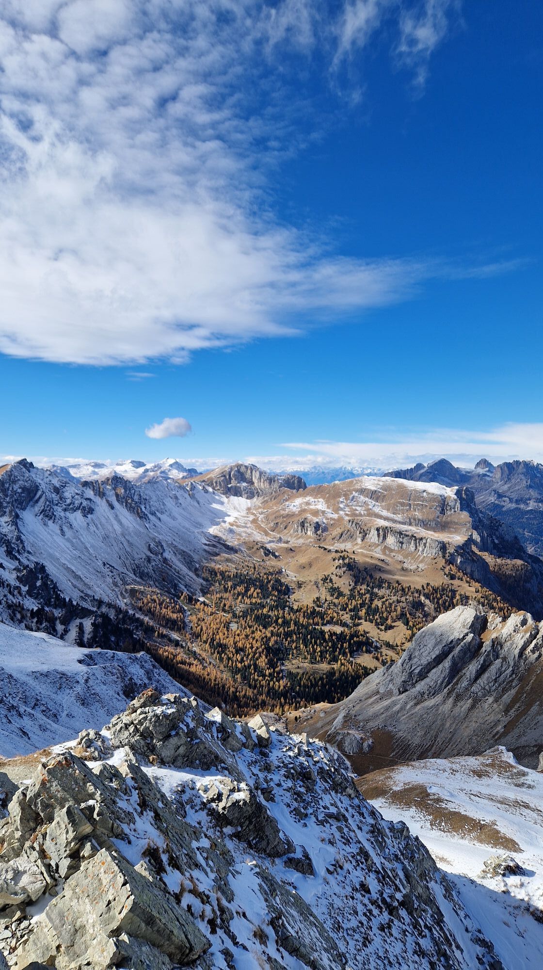
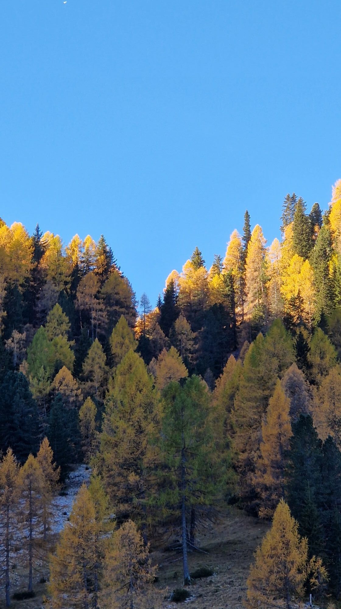
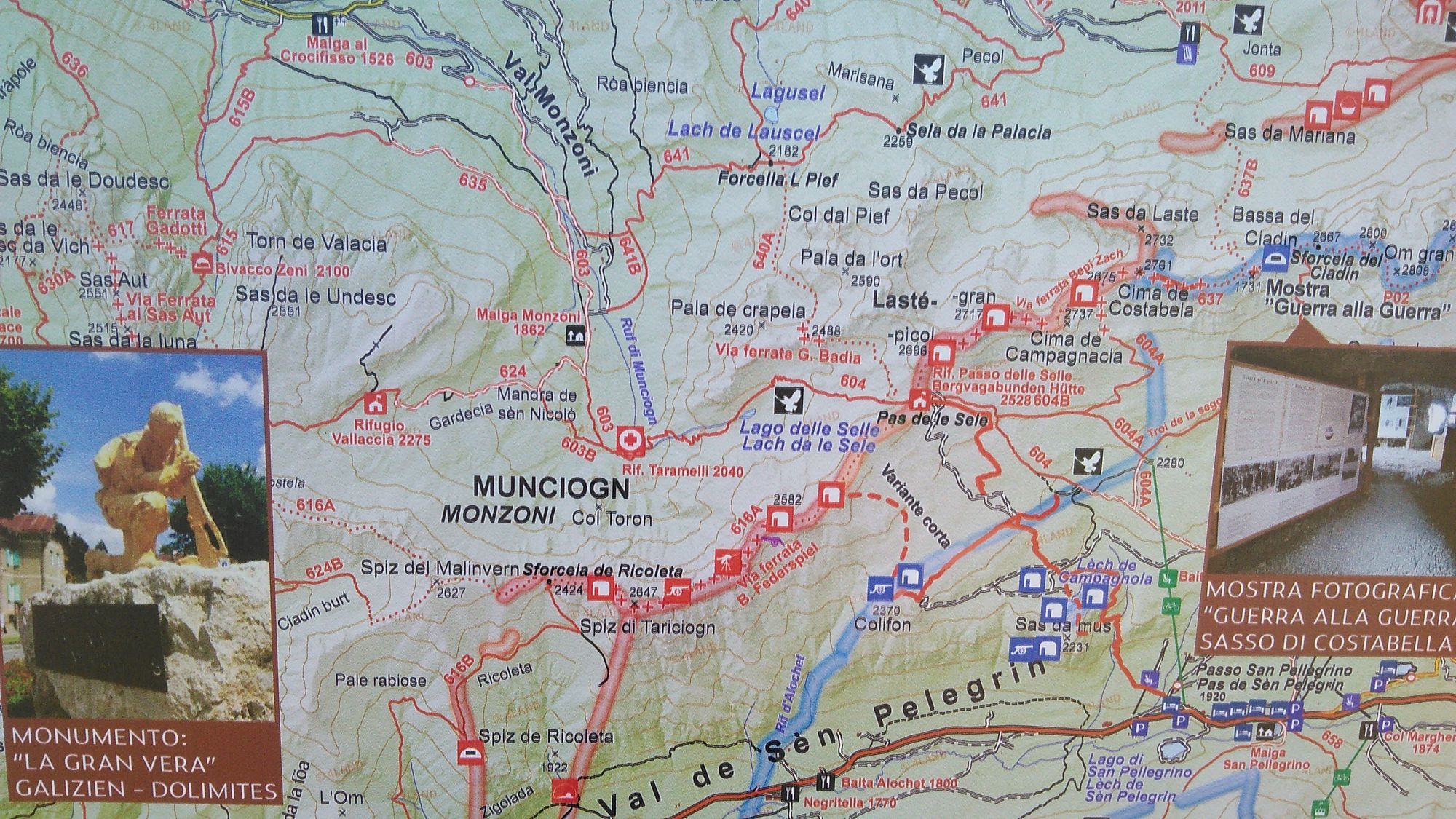
The tour starts on an asphalt road for the first 4 km to the "Malga Monzoni" hut. Tip: However, you can also take the hiking bus there, which departs from the car park near the Vidor campsite and takes...
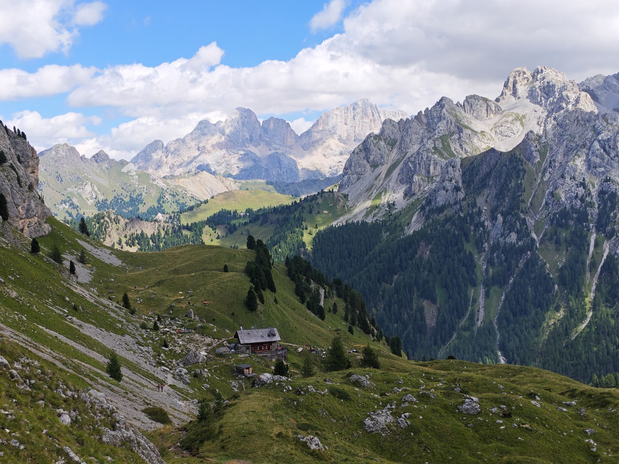
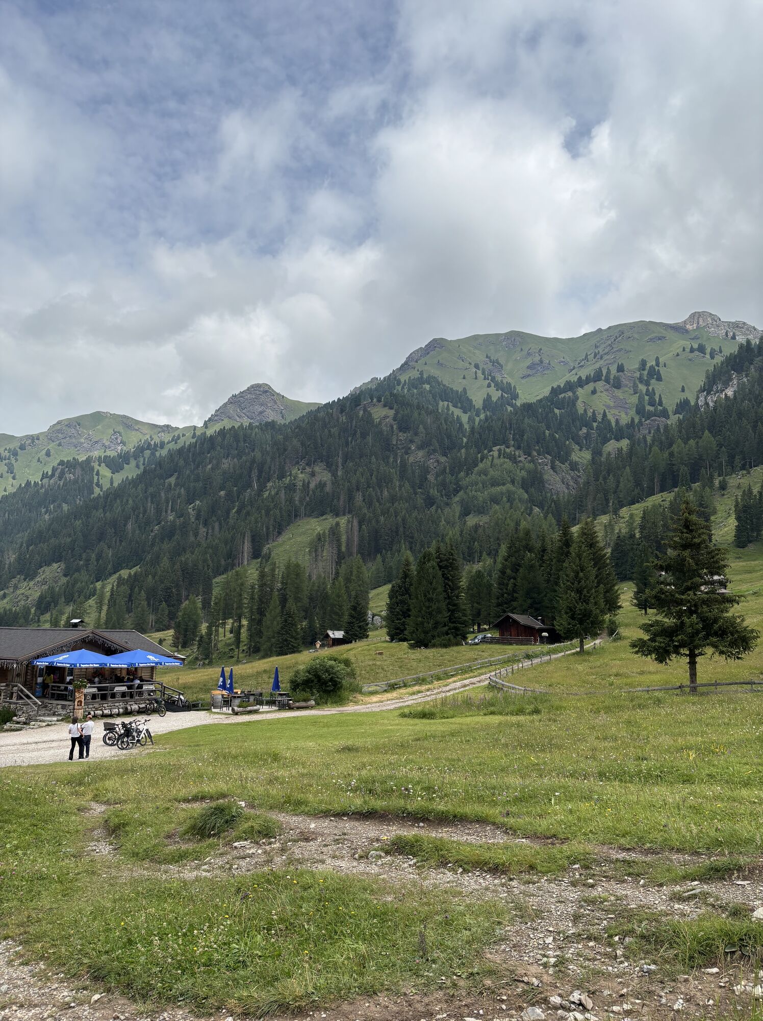
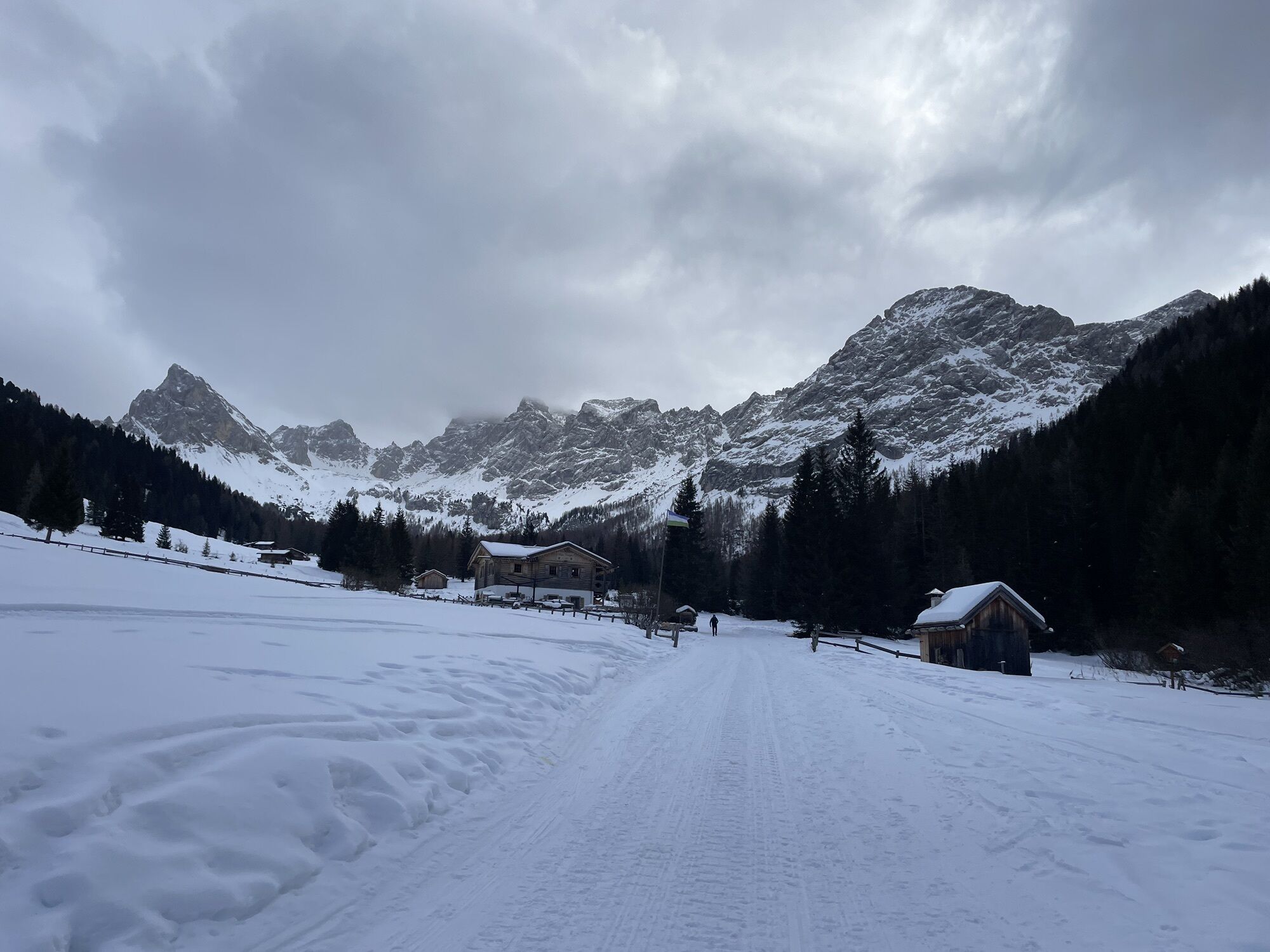
The tour starts on an asphalt road for the first 4 km to the "Malga Monzoni" hut.
Tip: However, you can also take the hiking bus there, which departs from the car park near the Vidor campsite and takes you to the hut.
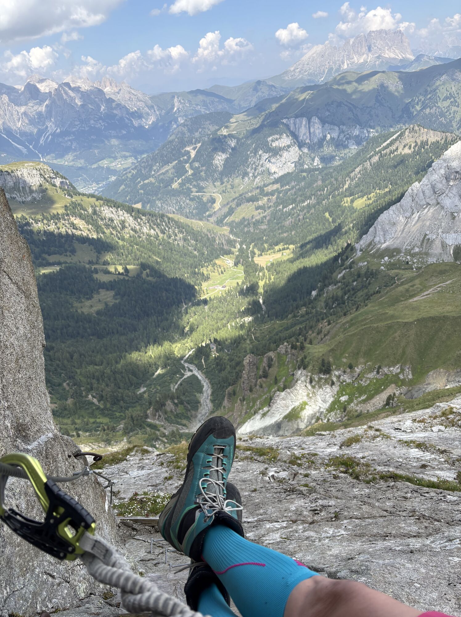
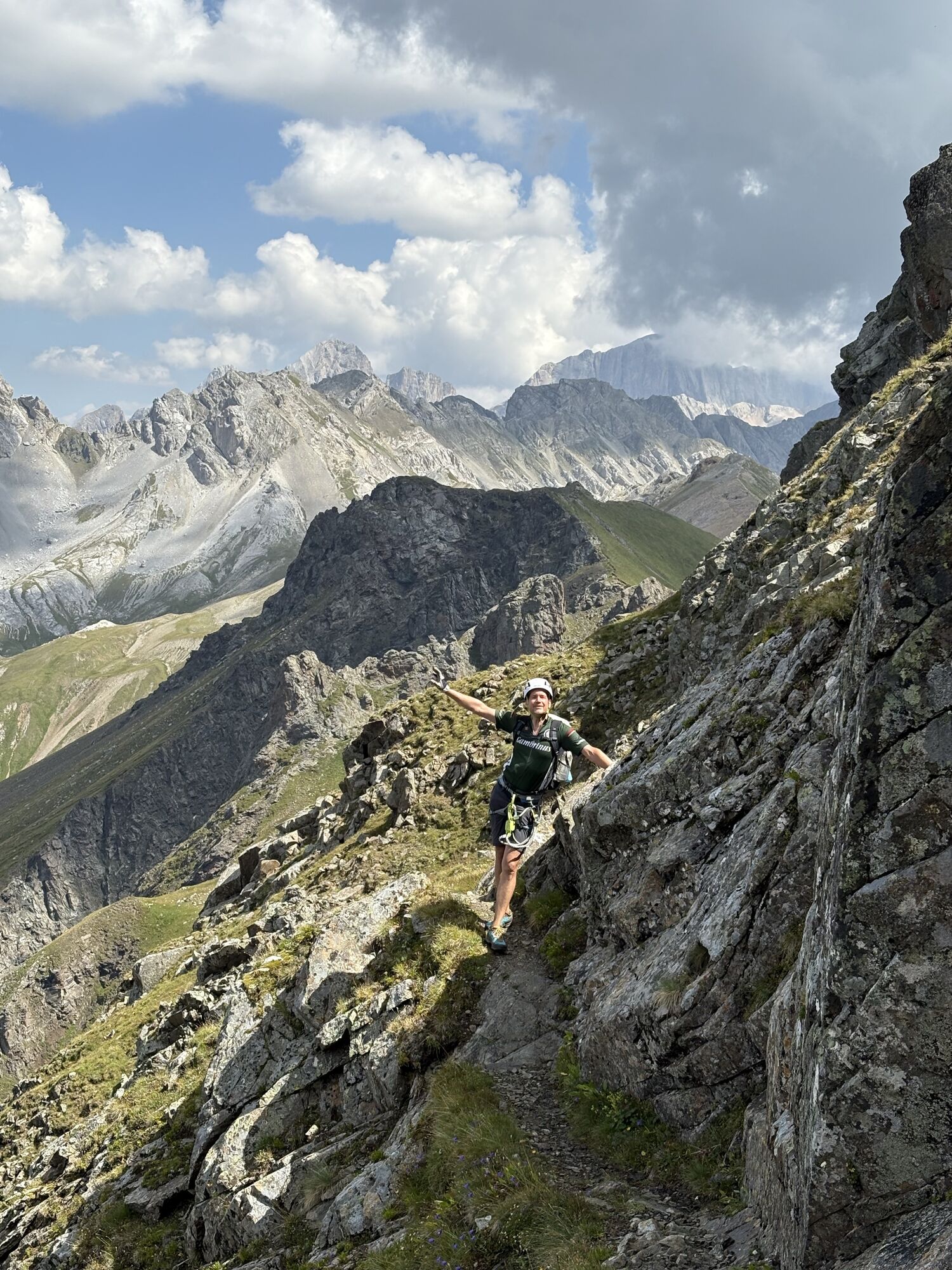
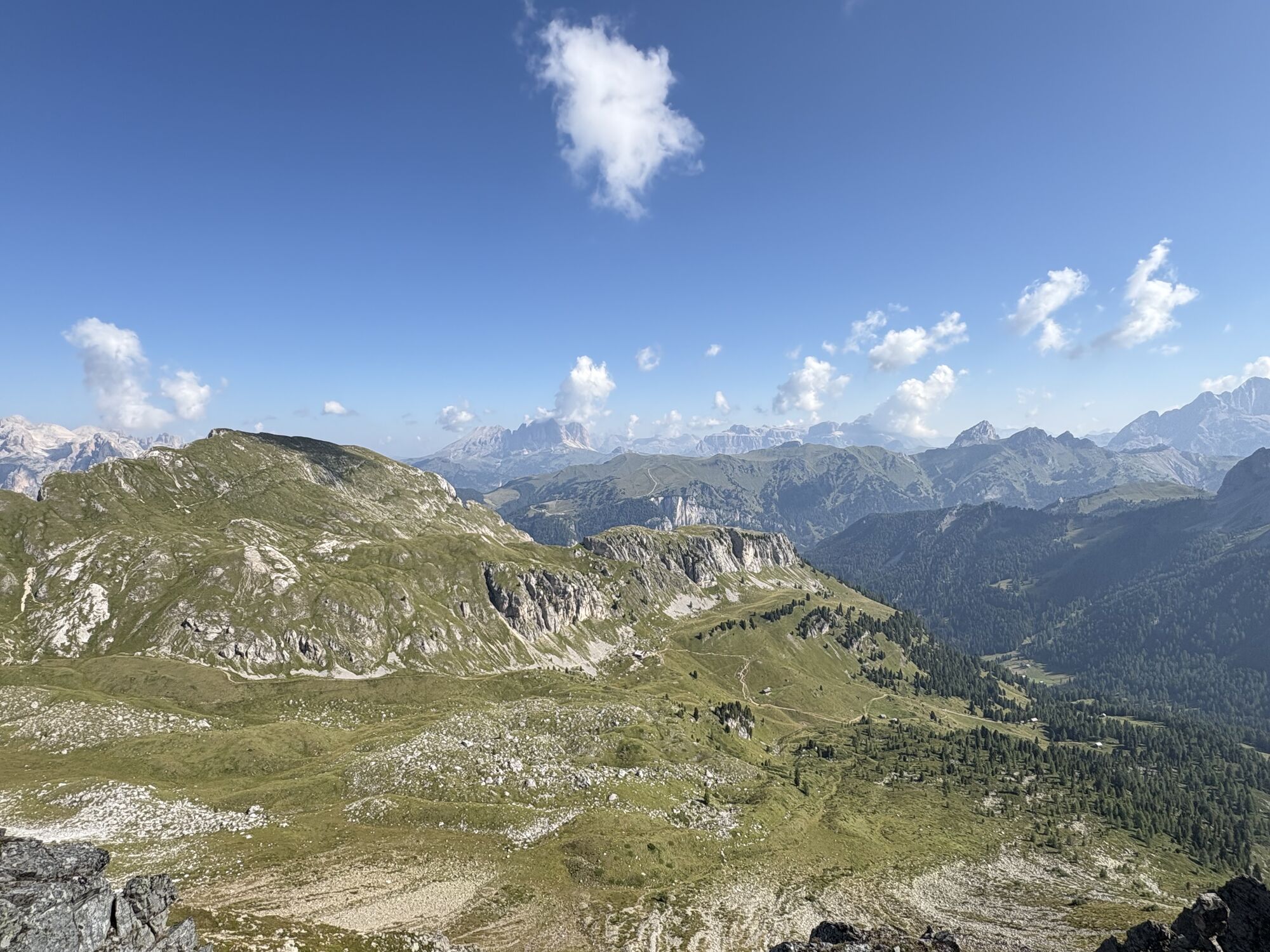
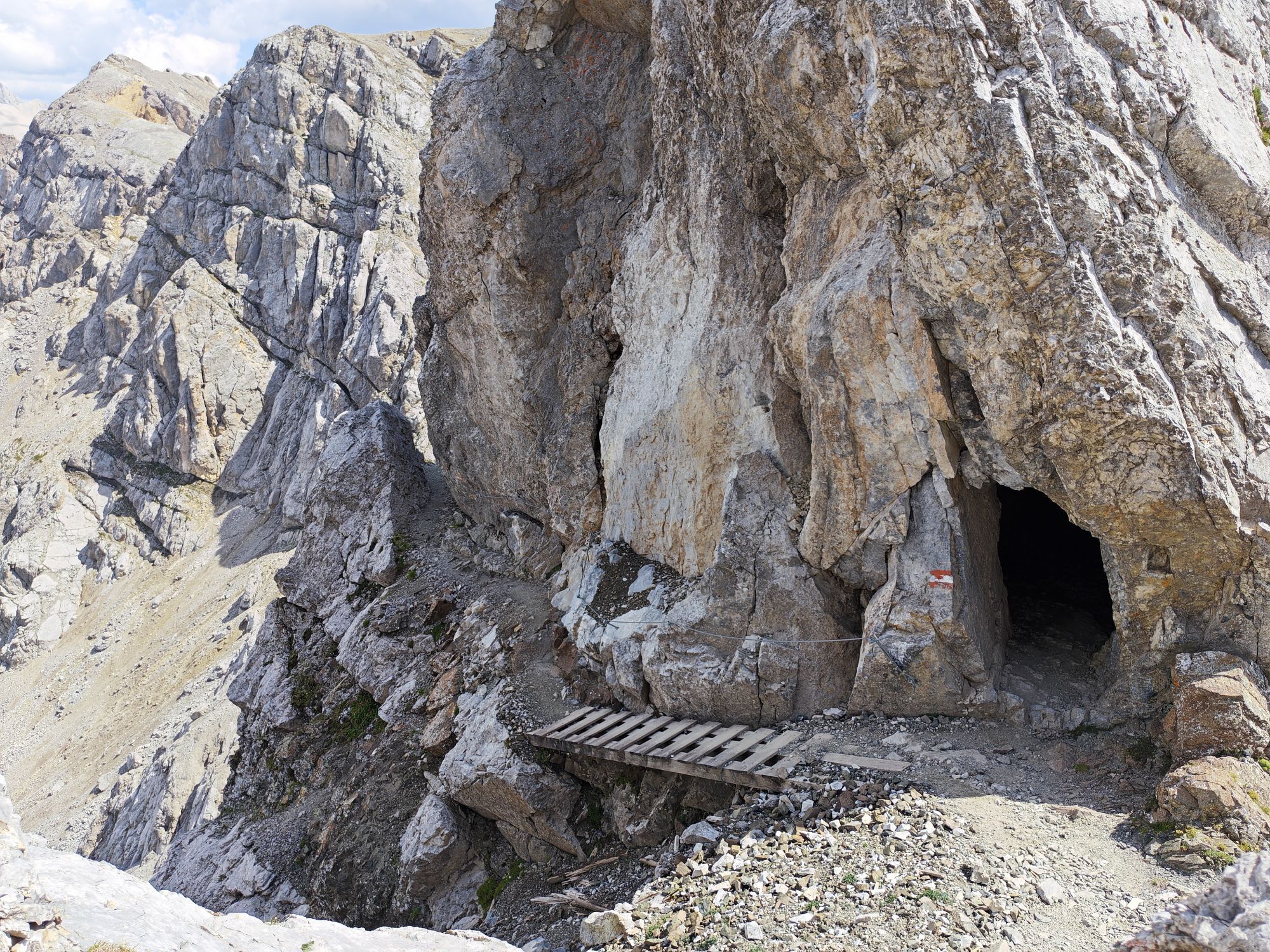
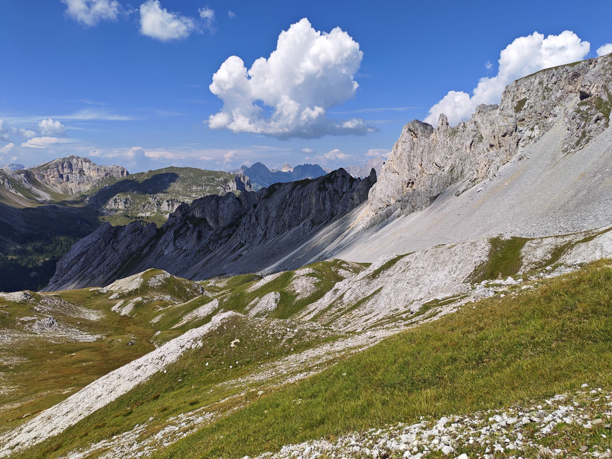
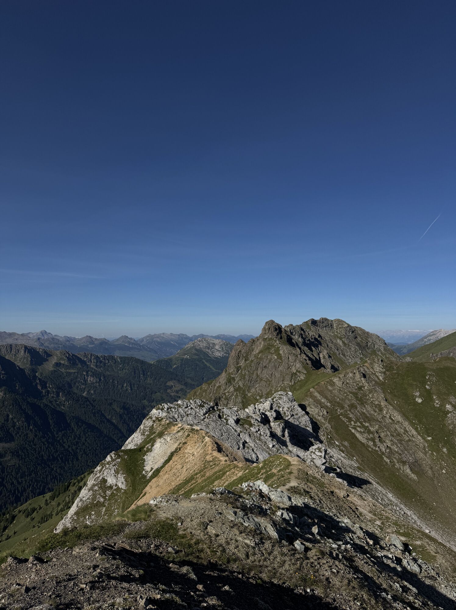
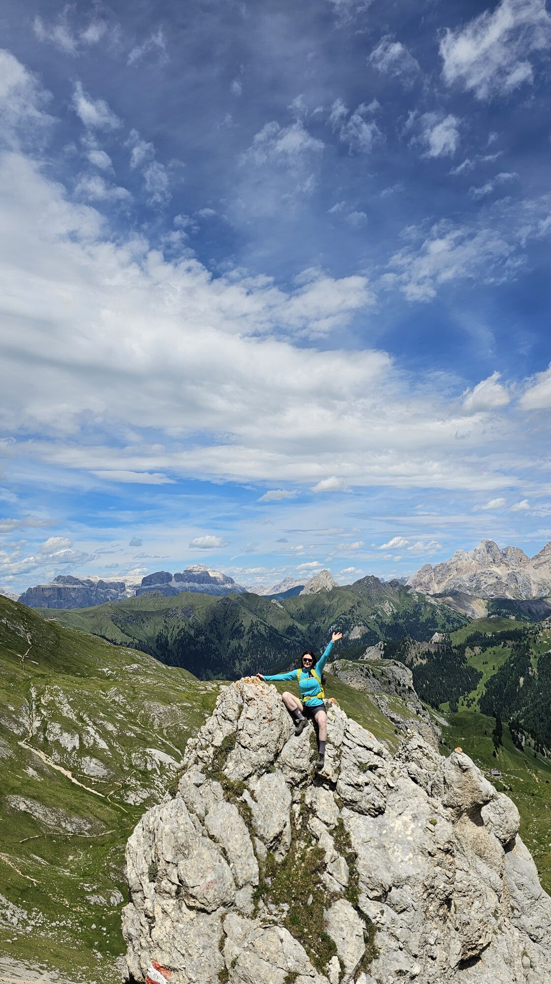
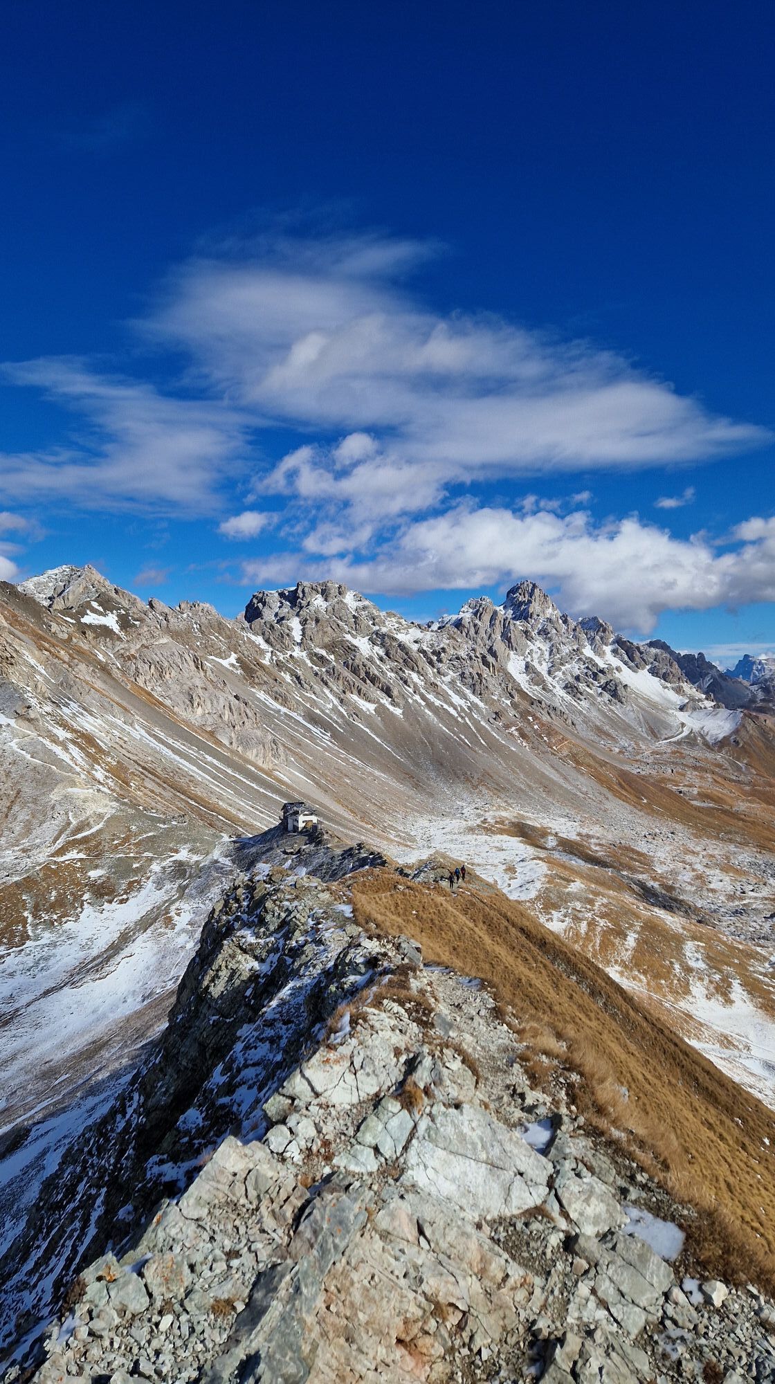
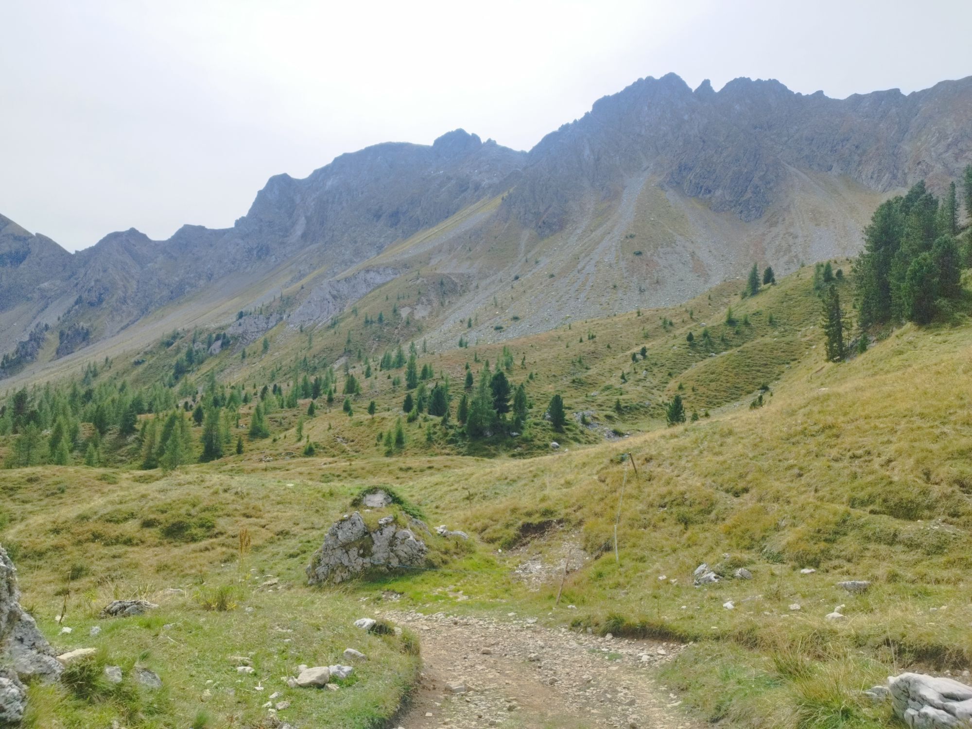
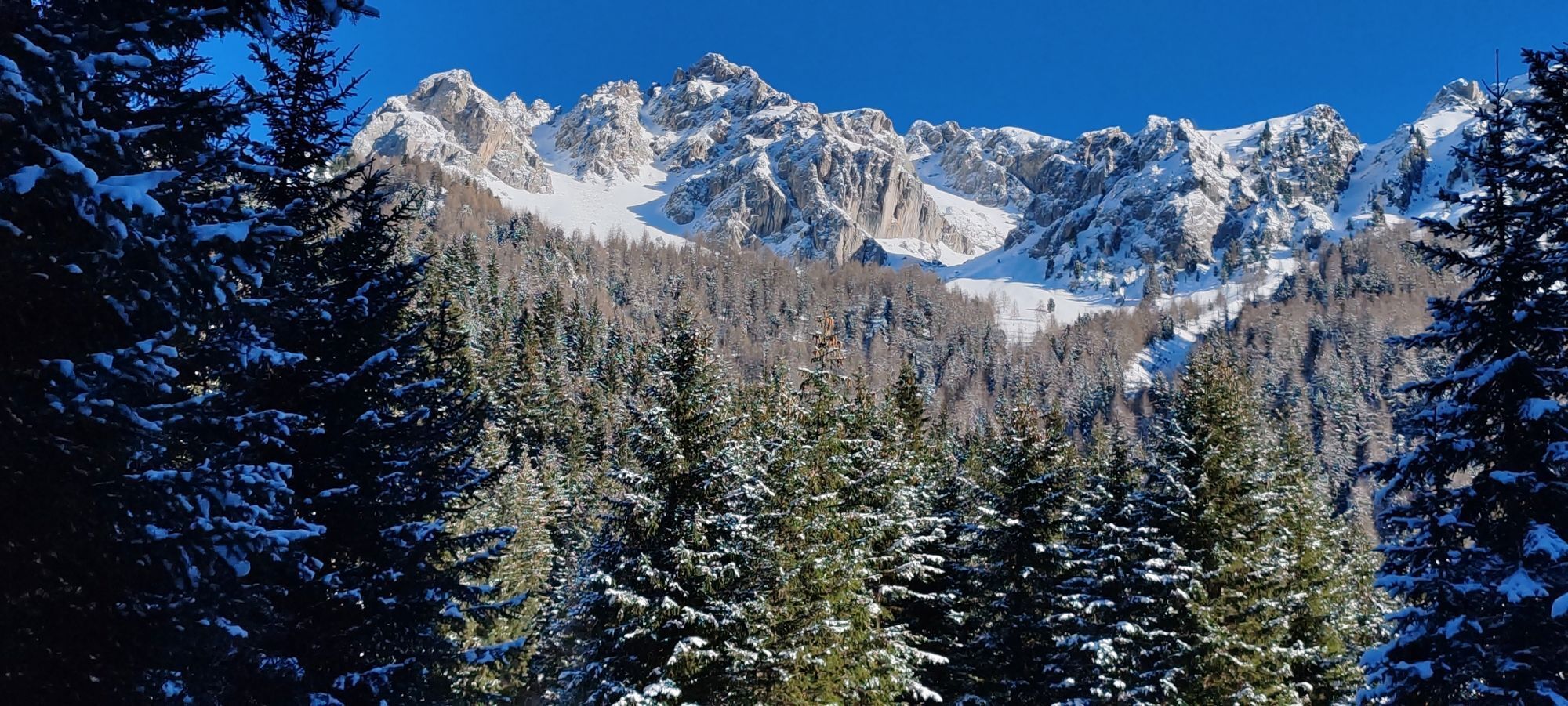
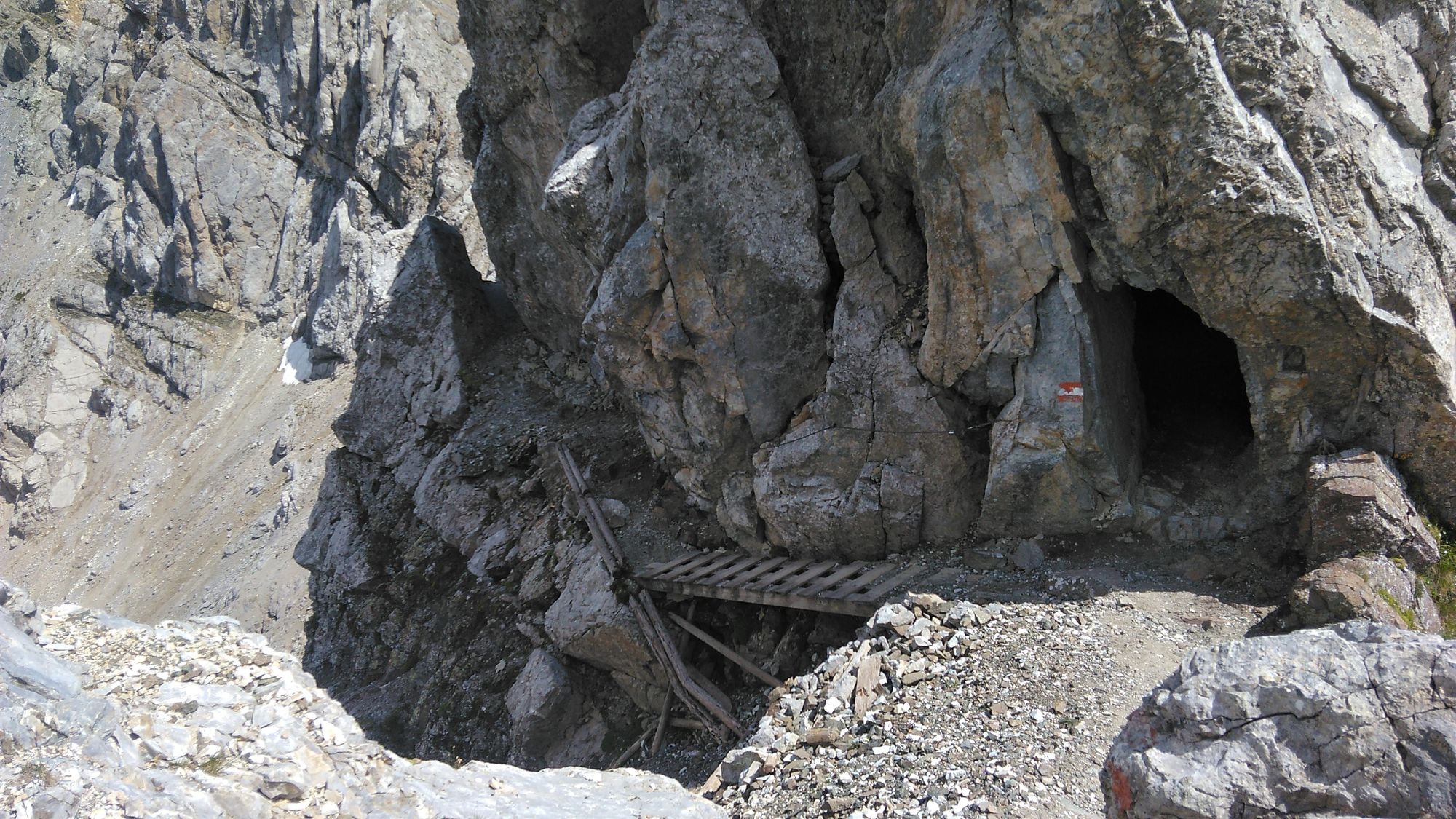
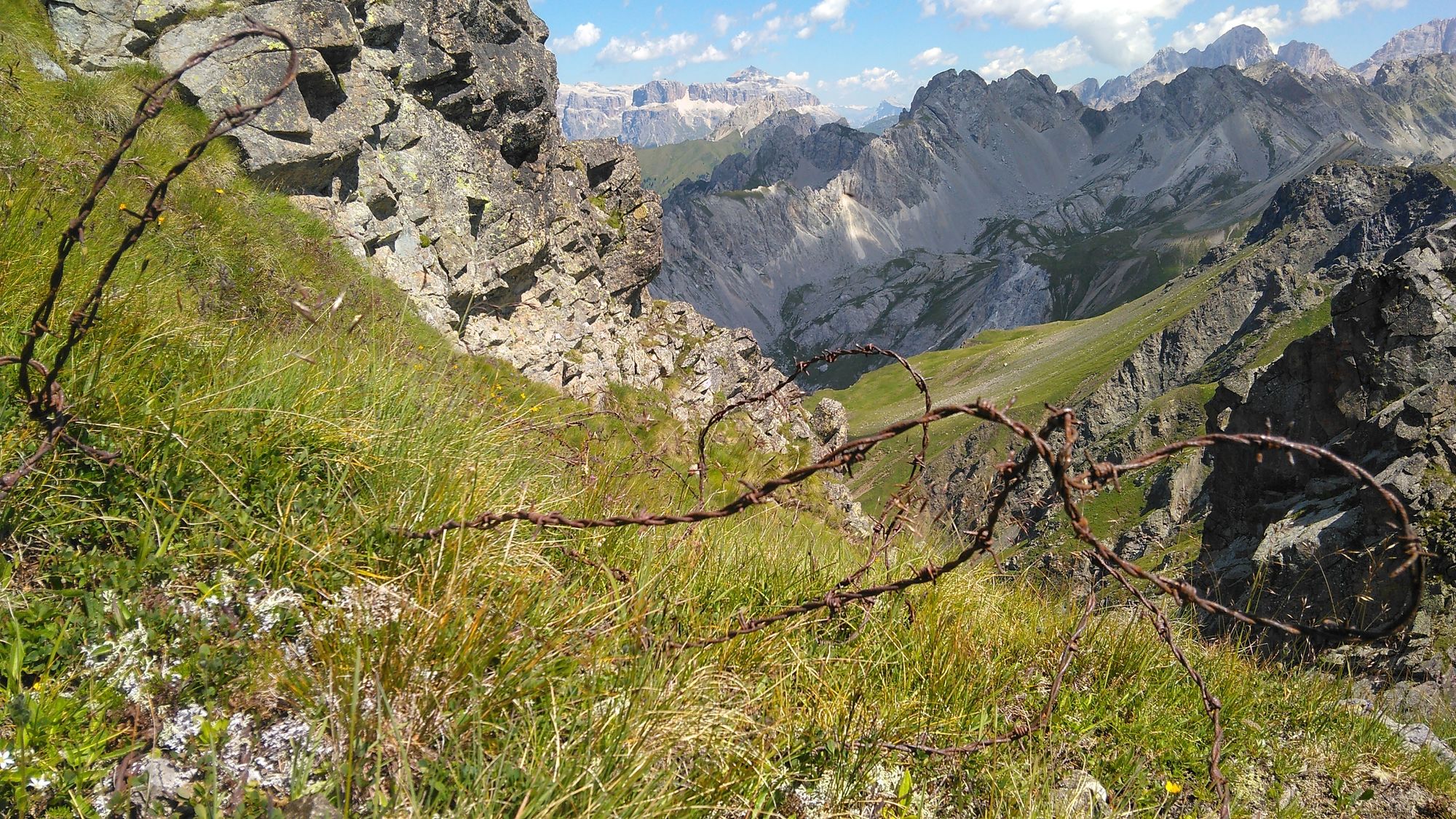
Afterwards it climbs a little steeper and via the "Rifugio Vallacia" you reach the ridge. There the technically more demanding part begins with the via ferrata called "Bruno Federspiel" (difficulty B/C - the most difficult part is right at the beginning and can also be bypassed). A narrow path with sloping passages downwards. Surefootedness is required! In general, there are some steep climbing passages that you have to climb with your hands and feet and that are very exposed. However, the views are fantastic. Sometimes you get the feeling that there should be some iron ladders for more safety. But the via ferrata has few attached aids.
After 2 km of via ferrata, you reach Forc. Ricoleta; from here on, the route becomes a little easier. There are also some iron pegs and a ladder.
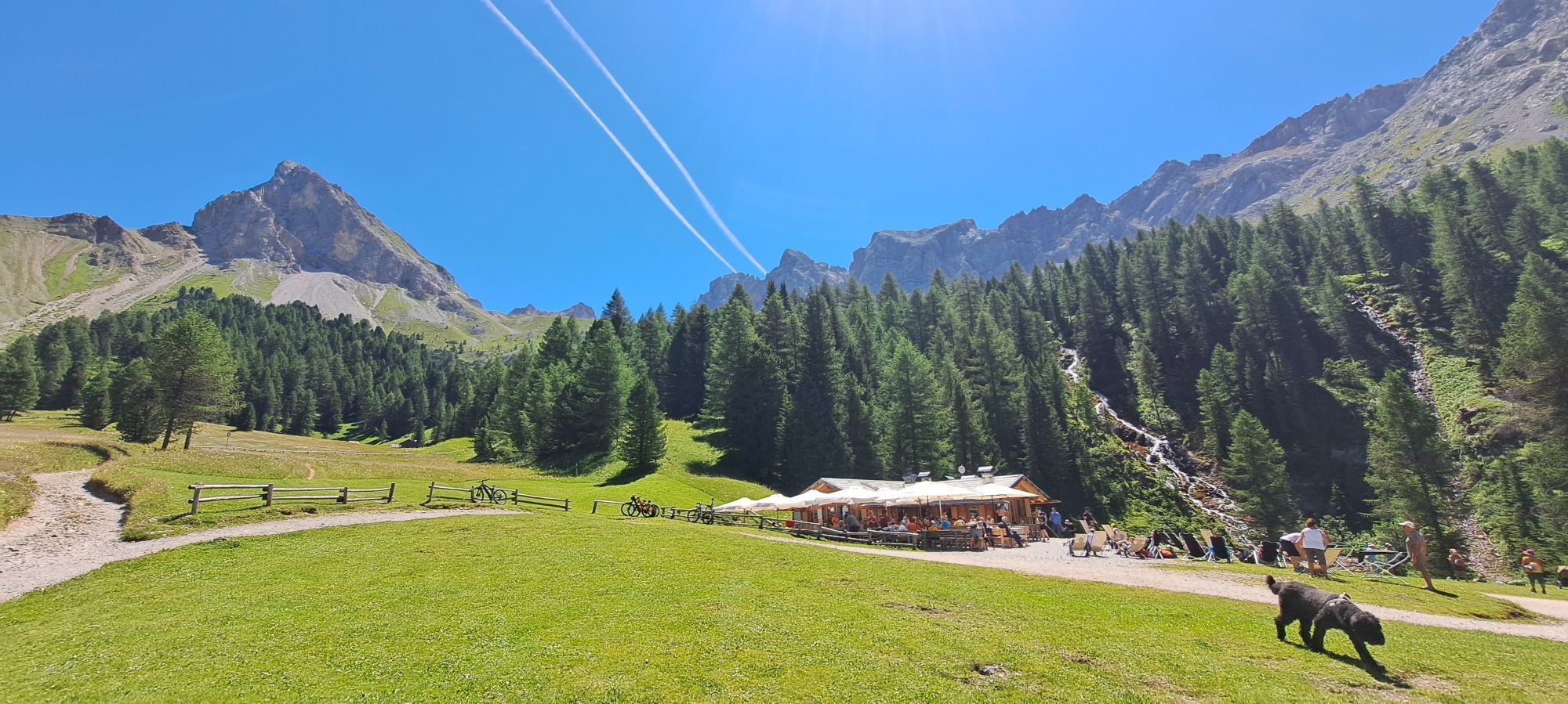
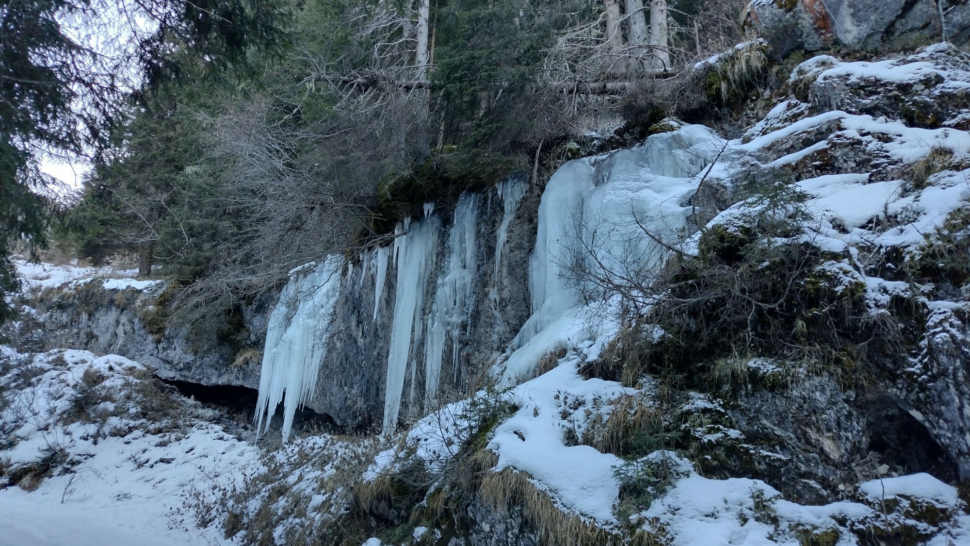
Tip: You can also shorten the entire hiking route. In this way, the trail is also accessible to people who want to take a shorter route. From the "Malga Monzoni" hut, take the path in a southerly direction to the Rifugio Taramelli and then in an easterly direction to the Passe delle Selle (E603 / E604). The path also serves as a return route. It is a beautiful path to Malga Monzoni with nice views and a beautiful waterfall.
>> Malga Monzoni - Passe delle Selle return: 3.5 km / 670 m ascent
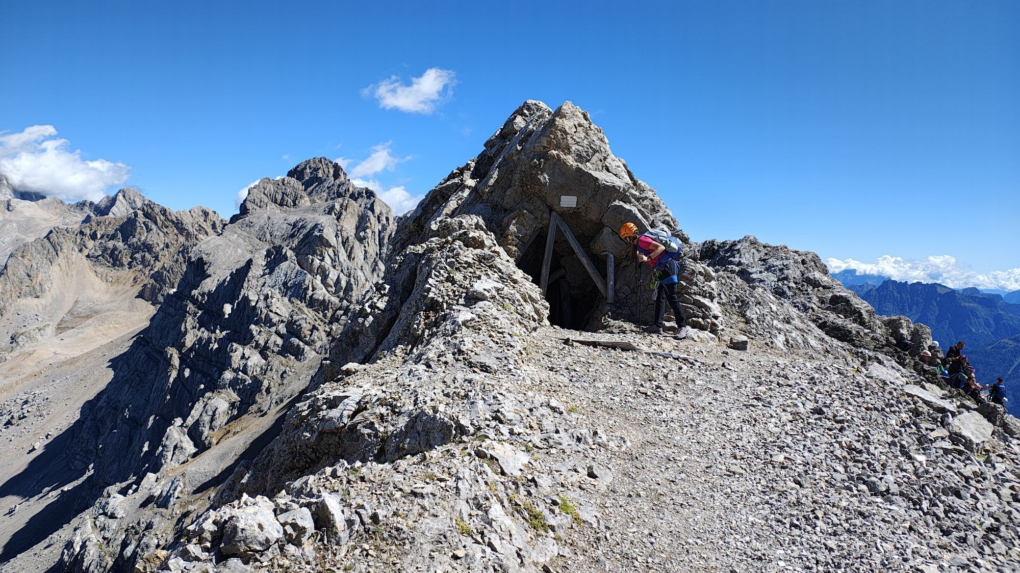
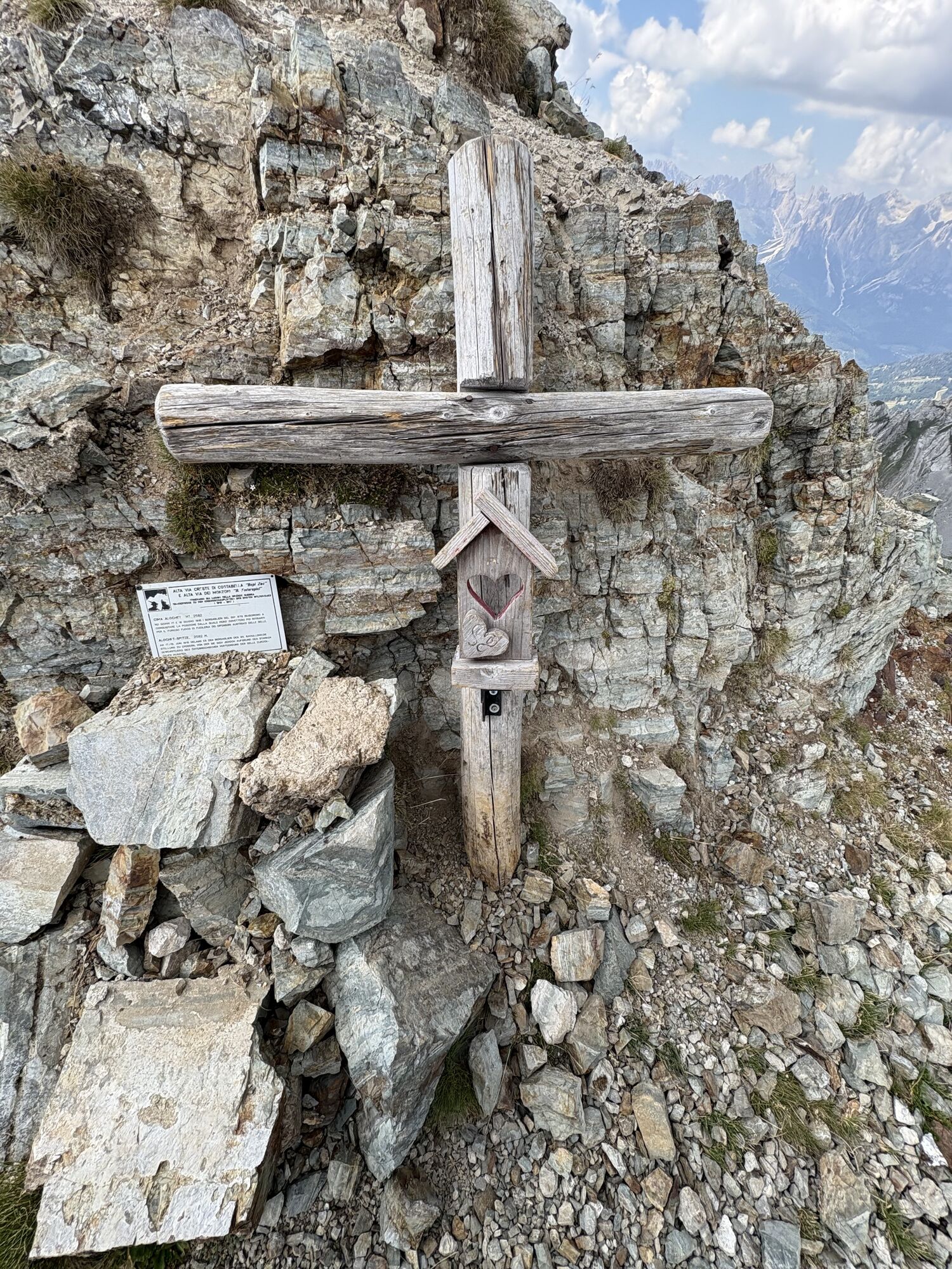
From Passo delle Selle, the trail continues up the ridge to the summit of Gran Laste, then to Cima di Campagnacia and finally to the highest point, Cima di Costabella at 2,765m. A historic spot then awaits you at Castello di Costabella.
From here follows the steep descent to the "Baita alla Cascate".
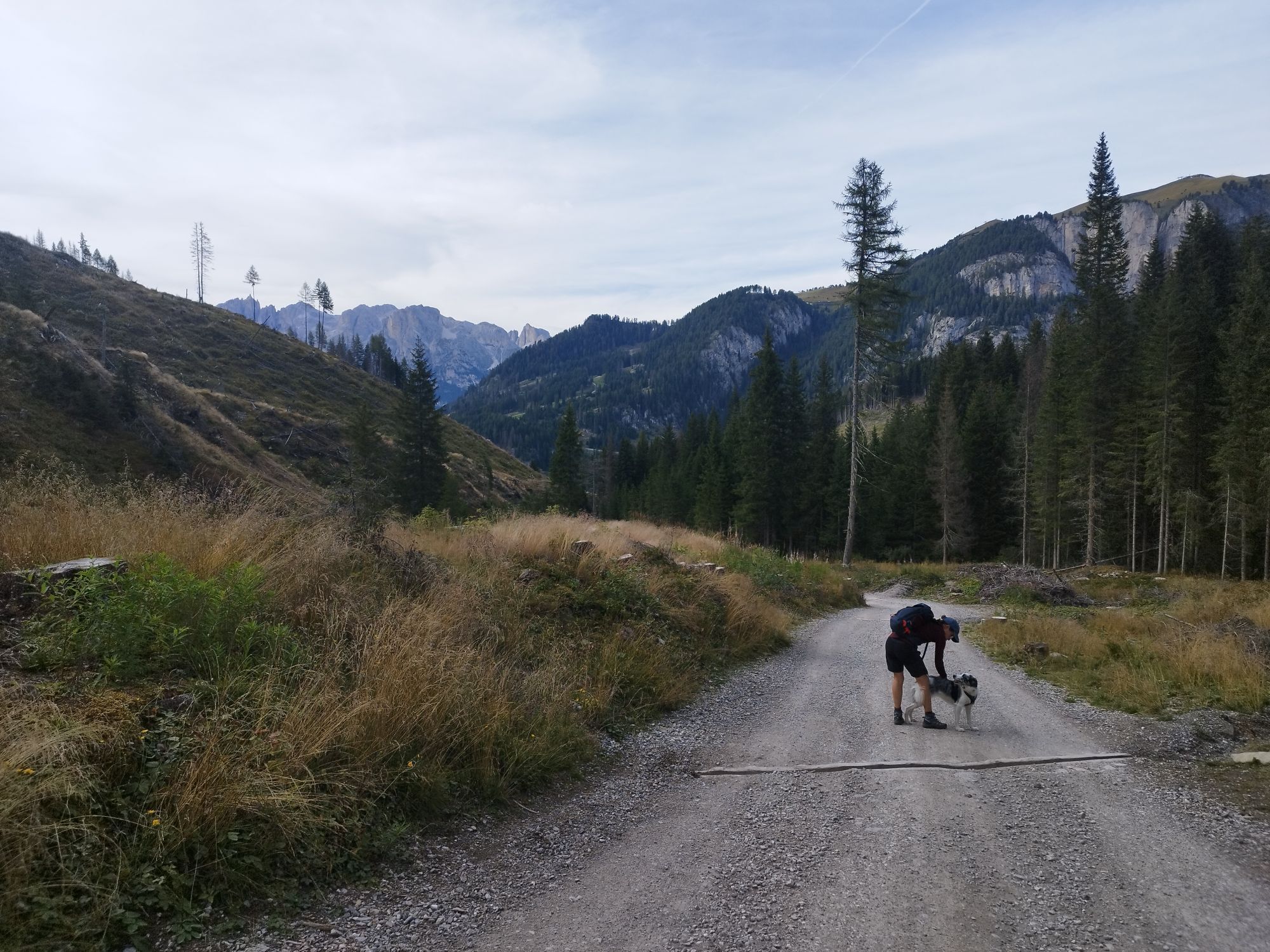
Then it's about 6 km downhill along the Rio Nicolo back to the starting point.







Busverbindung zum Malga Monzoni
Malga Crocifisso
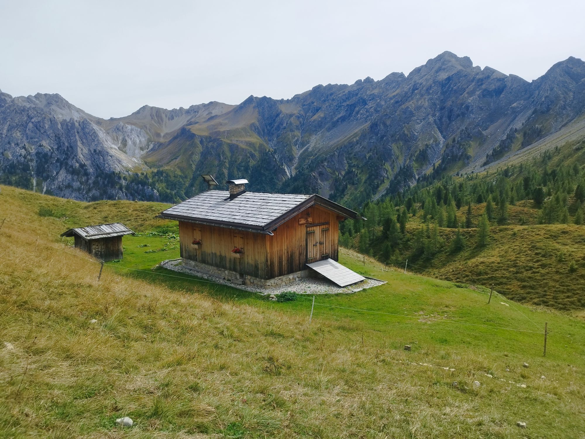
Malga Monzoni
Rifugio Vallaccia
Rifugio Taramelli
Komplette Klettersteigausrüstung, Helm.
Beim Camping Vigor

Kamery internetowe z trasy
-
Catinaccio - Rosengarten Pra Martin
-
Catinaccio - Rosengarten Pra Martin
-
Catinaccio - Rosengarten Pra Martin
-
Pozza di Fassa - Buffaure
-
Canazei - Ciampac
-
Canazei - Ciampac
-
Canazei - Ciampac
-
Canazei - Ciampac
-
Pozza di Fassa
-
Moena - San Pellegrino Pass / Chalet Isabella
-
Cima Uomo
-
Cima Uomo
-
Col Margherita Sud
-
Col Margherita Sud
Uzyskaj wgląd
Zawsze na żywo z ponad 9 500 kamer internetowych. bergfex Jako użytkownik Pro, możesz teraz zobaczyć odpowiednie kamery internetowe dla wielu wycieczek w aplikacji wycieczki od. Pozwala to na bezpośredni podgląd aktualnych warunków.


Popularne wycieczki w okolicy
-
4,7
Pordoi Pass - Sass Pordoi - Forcella Pordoi - Piz Boè - Boè Refuge - Forcella Pordoi - Pordoi Pass
ciężkiWędrówka 8,39 km -
5,0
Langkofel Klettersteig/Ferrata Furcela de Saslonch
ciężkiVia ferrata 7,07 km -
4,0
Der Friedrich-August-Weg
średniWędrówka 10,4 km -
4,9
Lang- und Plattkofel Umrundung
średniWędrówka 17,5 km -
4,9
Santnerpass Klettersteig
średniVia ferrata 8,29 km -
4,8
Langkofel-Umrundung
średniWędrówka 12,9 km -
4,4
Viel dal pan
światłoWędrówka 6,60 km -
4,5
Dolomiten Sellagruppe, Alb. Col di Lana, Sas de Pordoi, Piz Boé retour 22.06.2016
średniWędrówka 5 km -
4,9
Via Ferrata "Cesare Piazzetta"
ciężkiVia ferrata 9,07 km -
4,8
Passo Costalunga - Sella del Ciampaz
średniWędrówka 8,35 km
Wędrówki i tropienie


Nie przegap ofert i inspiracji na następne wakacje
Twój adres e-mail została dodana do listy mailingowej.





